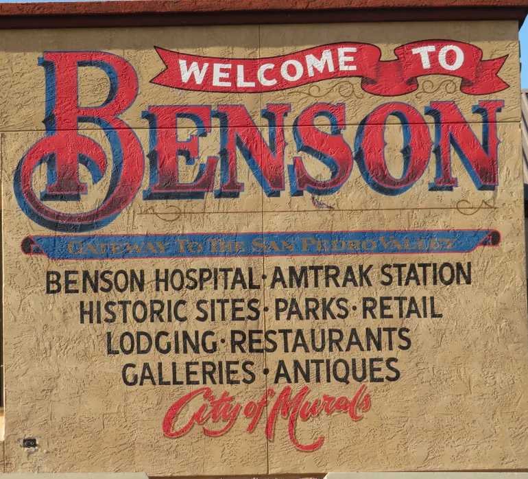
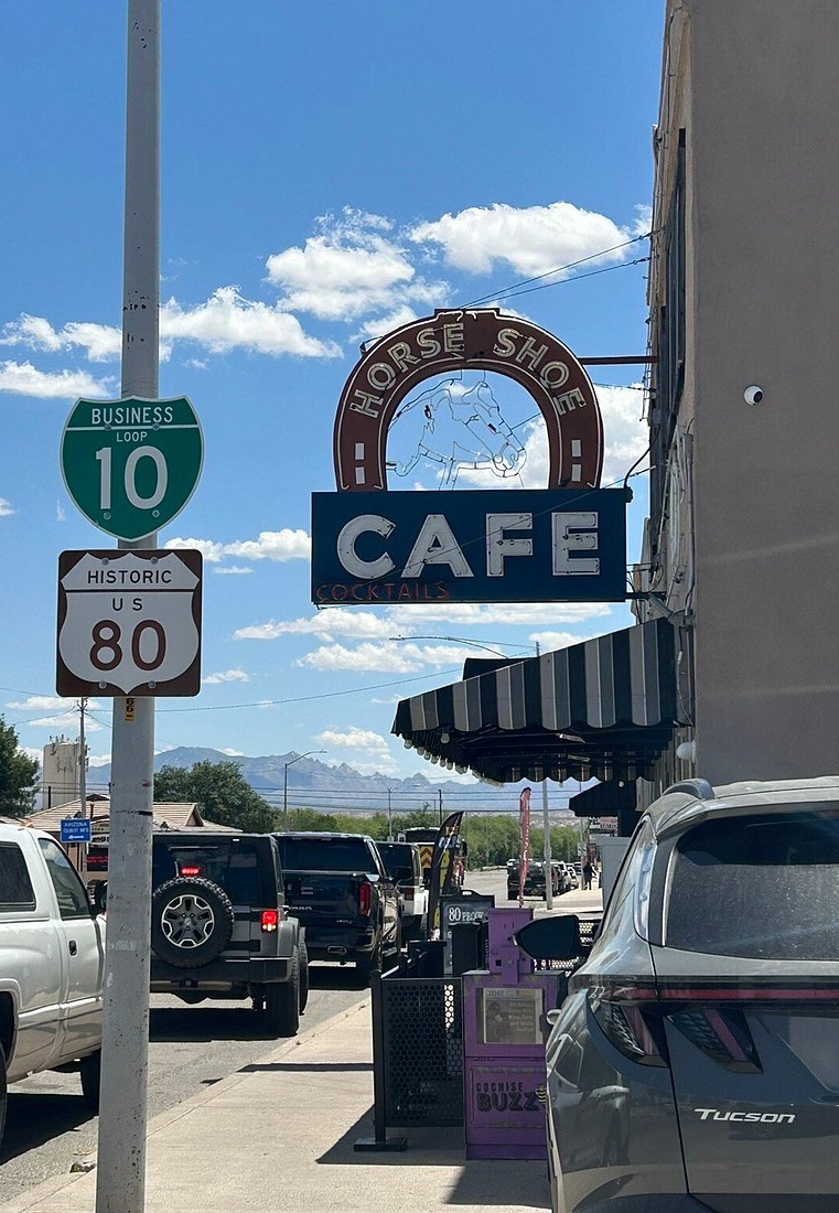
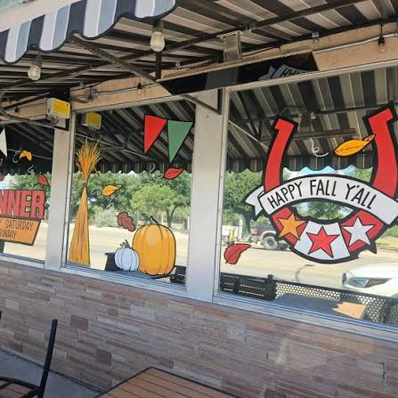
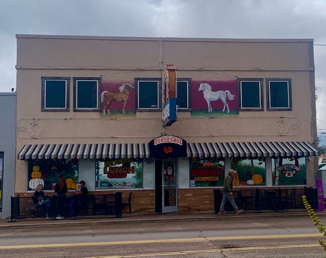
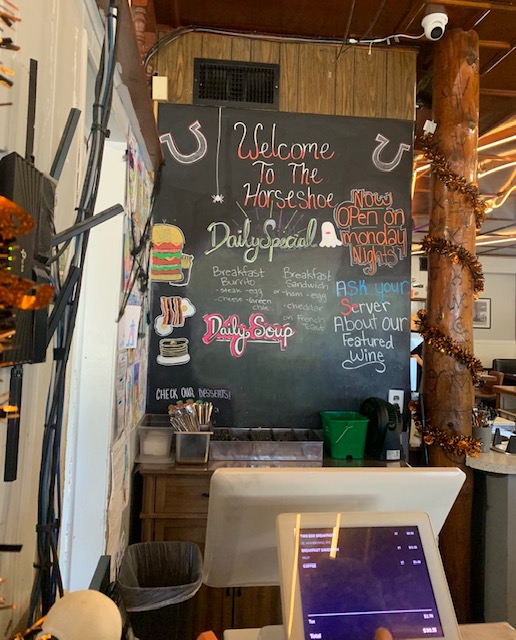
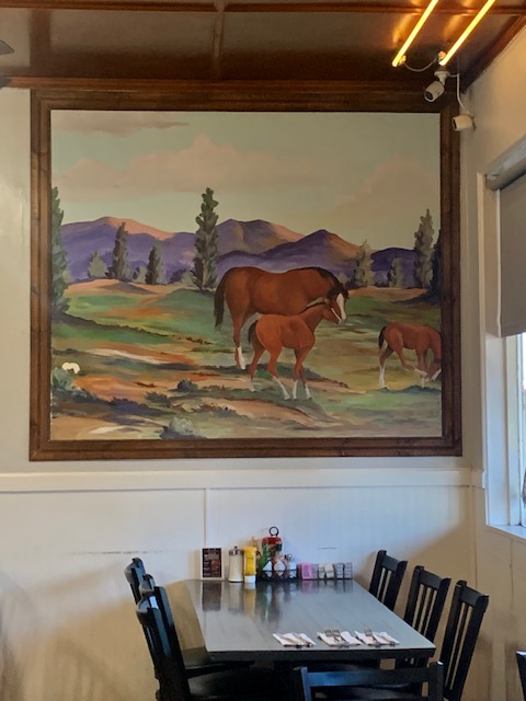
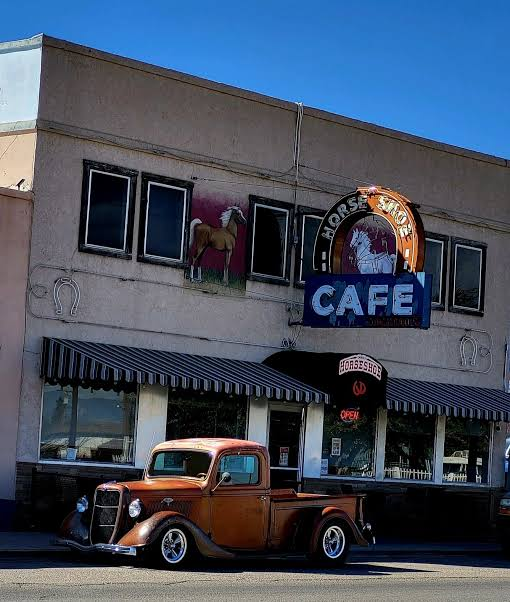
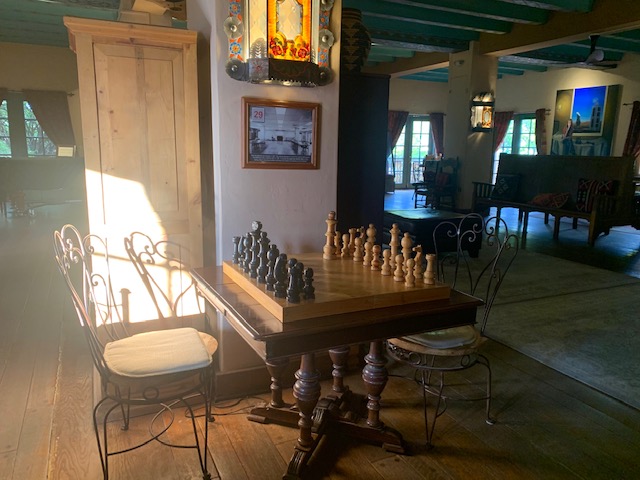
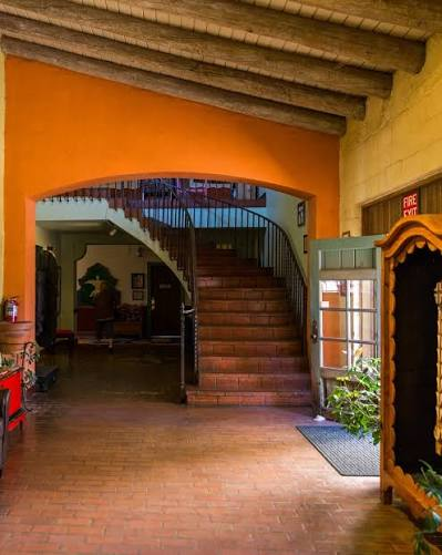
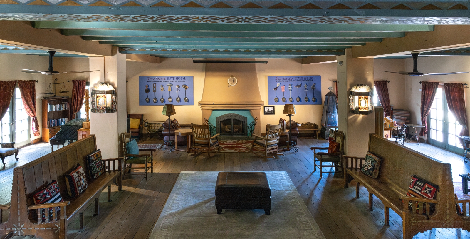
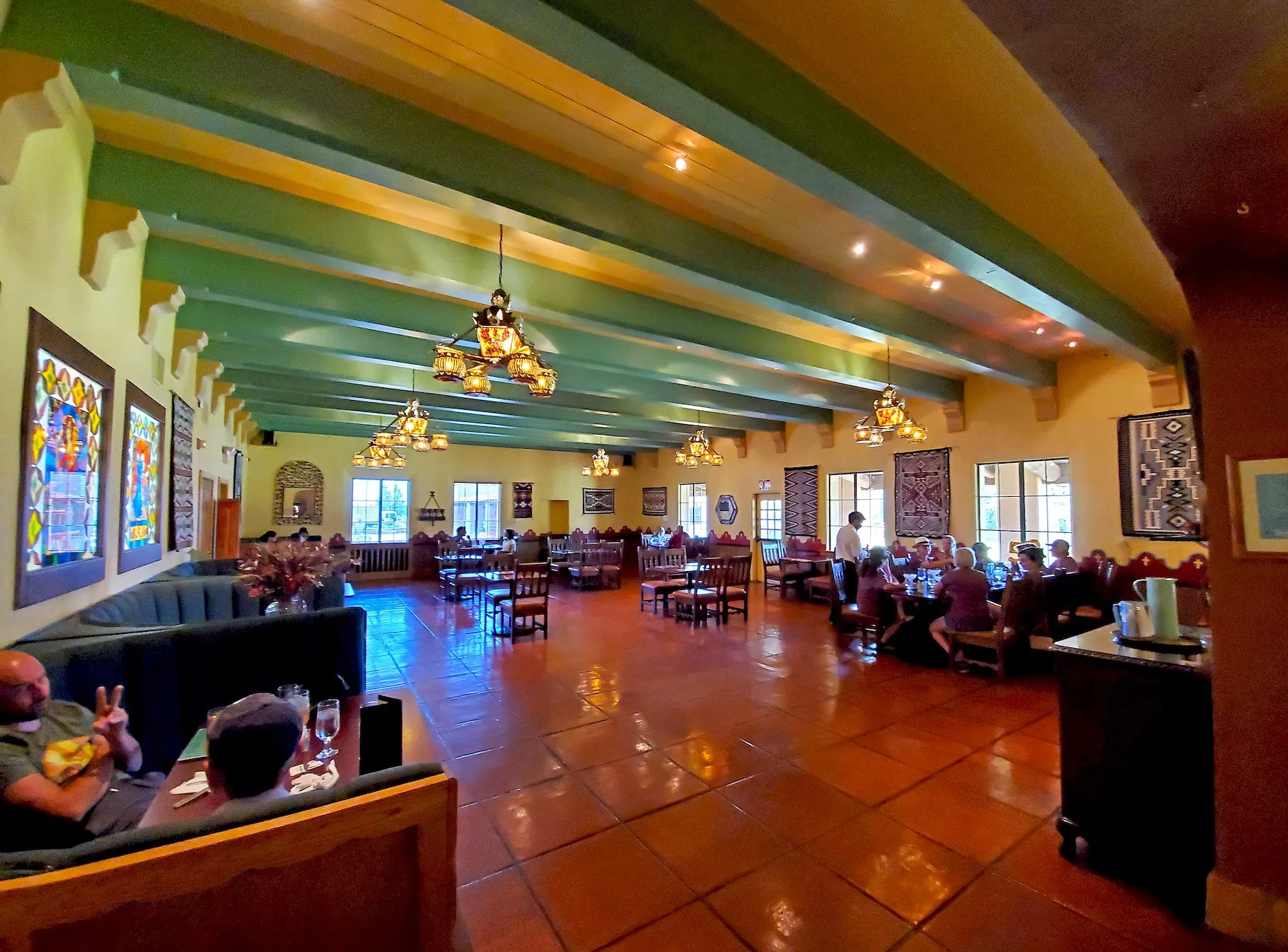
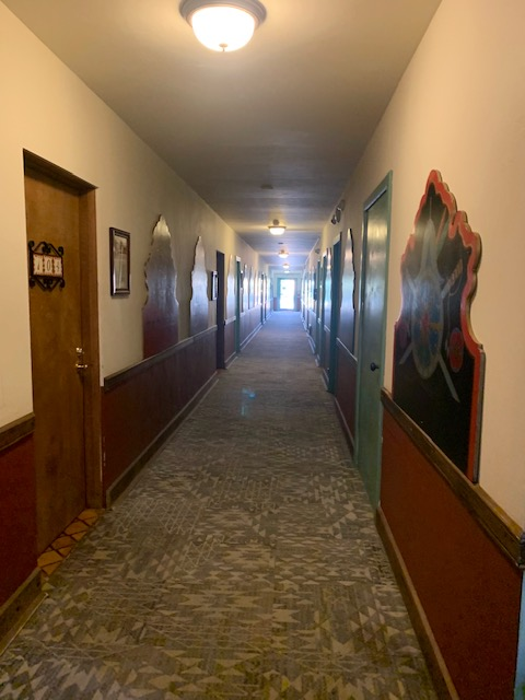
On Friday the 23rd, we explored a restaurant in Benson called the Horseshoe Cafe.
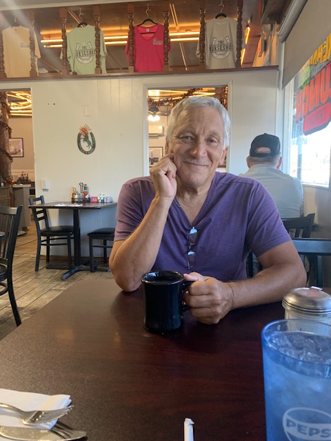
We came here due to the fact the food was said to be very good, which it was. We had breakfast, I had a delicious breakfast sandwich with fresh fruit, Dave had eggs, toast and hash browns.
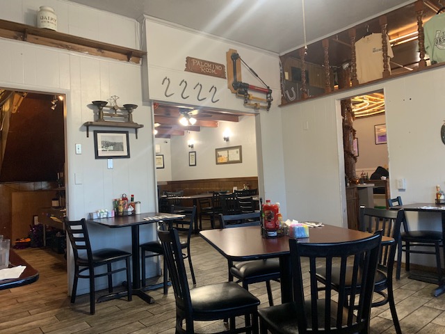
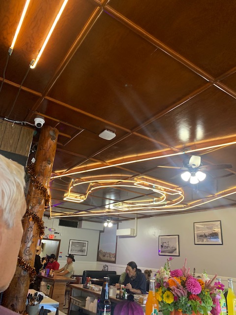
They have a Lucky Horseshoe on the ceiling which is suppose to bring Good Luck.
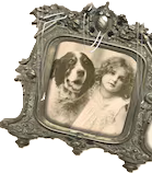
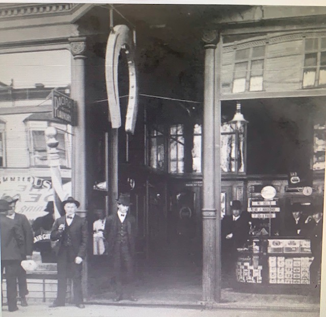
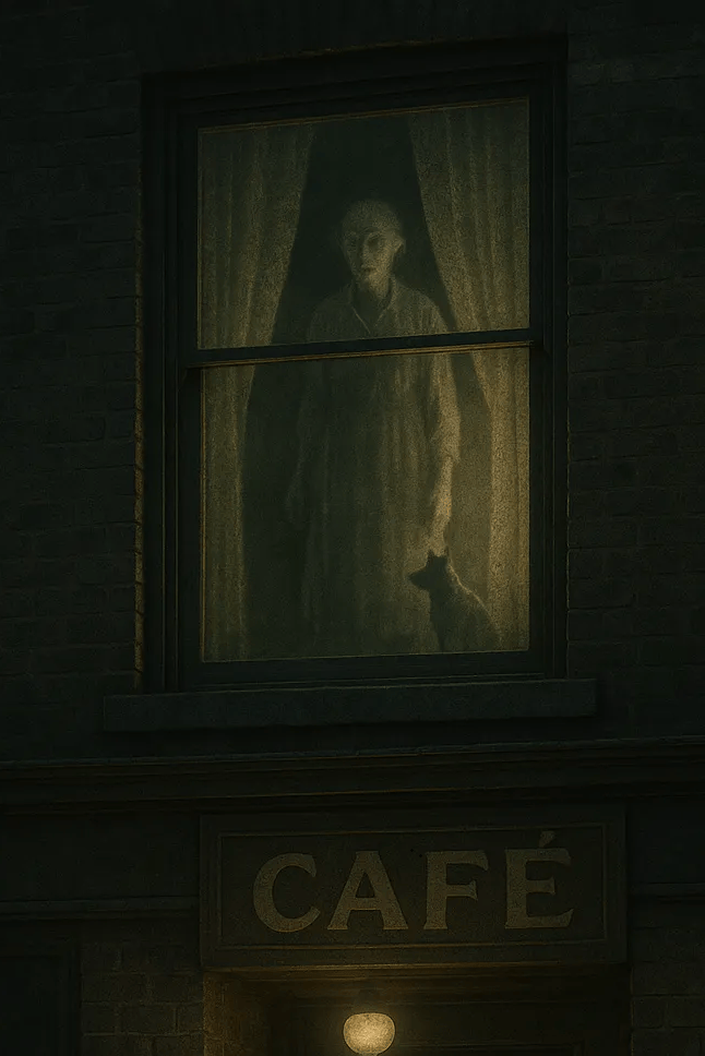
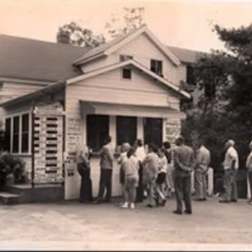
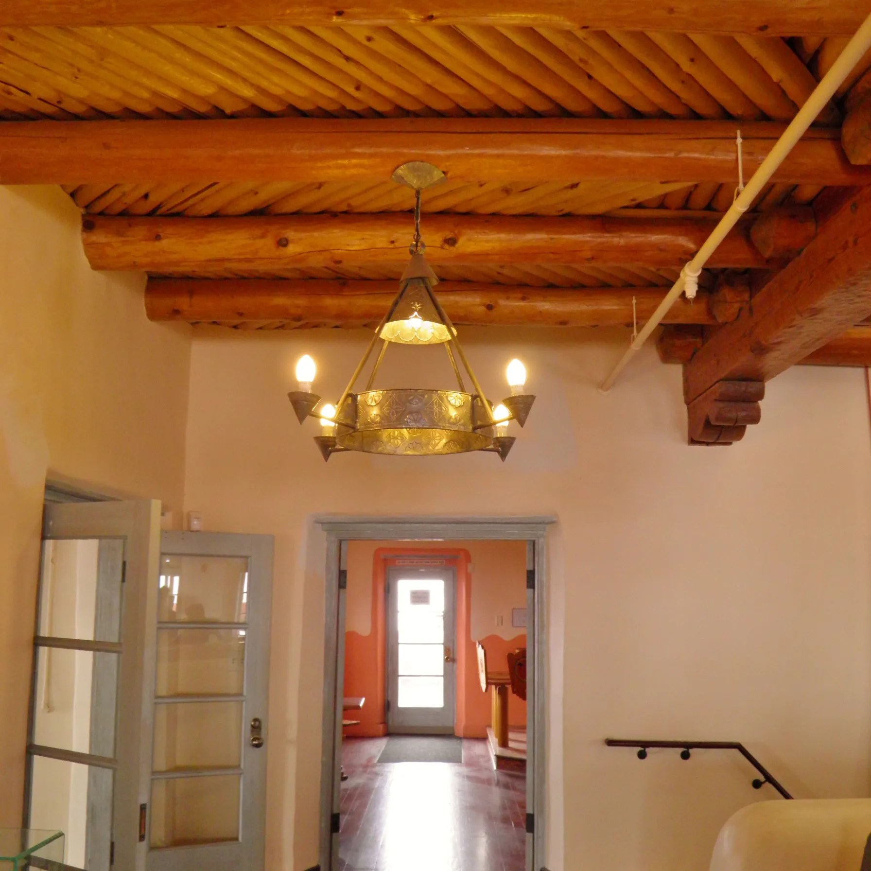
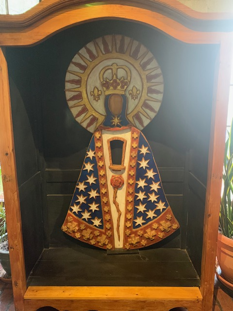
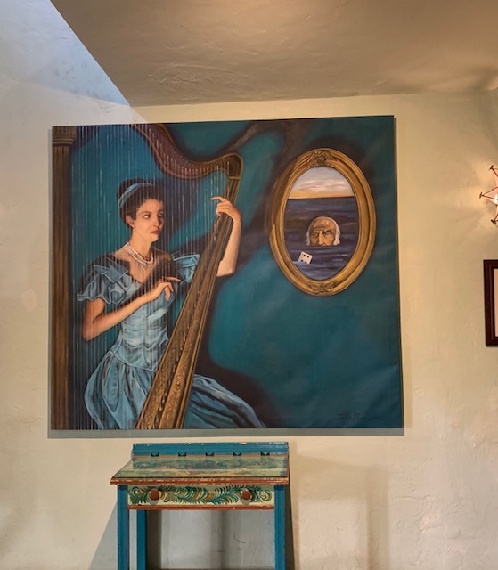
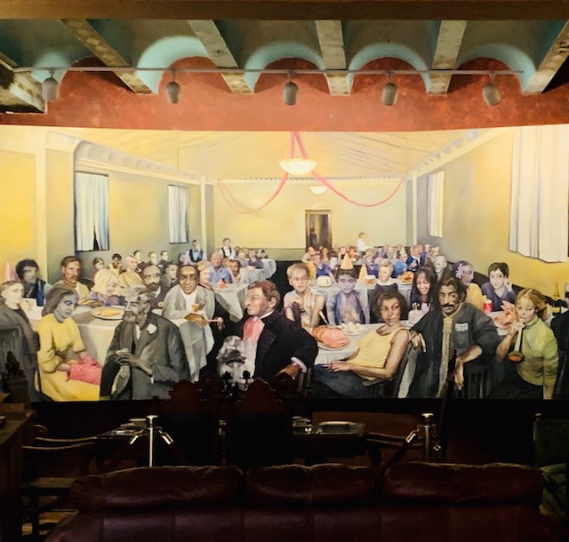
But we actually checked it out hearing that according to the staff and many residents, The Horseshoe Café is haunted. The two story stucco building was built in 1914. It has been used as a post office, train depot, bus stop, and a cafe. Dining at the Horseshoe Cafe has been a Benson tradition since 1938. Travelers driving east and west on the old southern Arizona highway often stopped here to rest, savor a hot meal, and enjoy good conversation. They say if you look up to the windows of the second floor you might see an image of a ghostly woman peering back down at you. She is the grandmother of Ray Whaley that lived upstairs in a apartment with her pet dog. She died upstairs with her dog, in the rooms overlooking the highway. When the cafe was temporarily vacant, a dog was heard barking from the upper floor.
The staff has reported seeing an elderly woman near the step railing that leads to the upstairs living quarters. Her favorite post mortem activity is to knock glasses off counters and toss coffee ground trays right out of the machine, as well as rearrange utensils for guests. They say that basically she likes to make a mess for employees to clean up. The staff aren’t shy about sharing their experiences with you. She is said to haunt the building and can be quite temperamental.
We didn’t see anything, next time we’ll check “The Shoe” out for dinner.
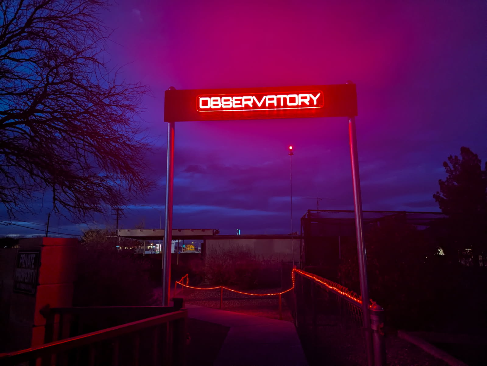
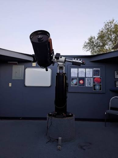
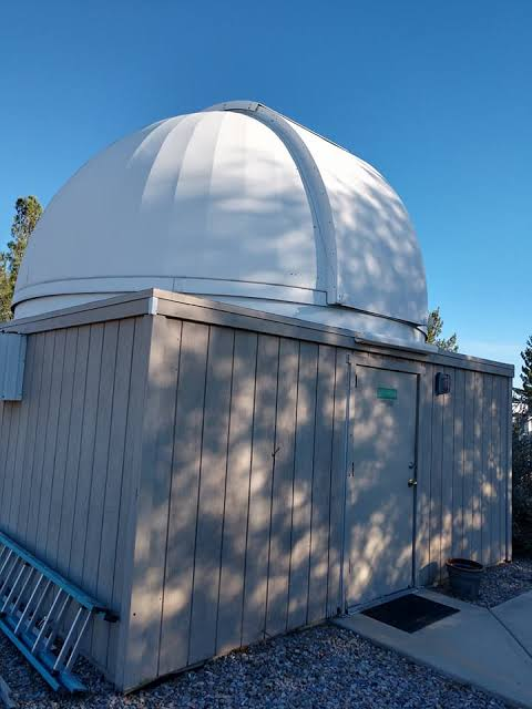
On Monday the 26th we visited the park’s Observatory!
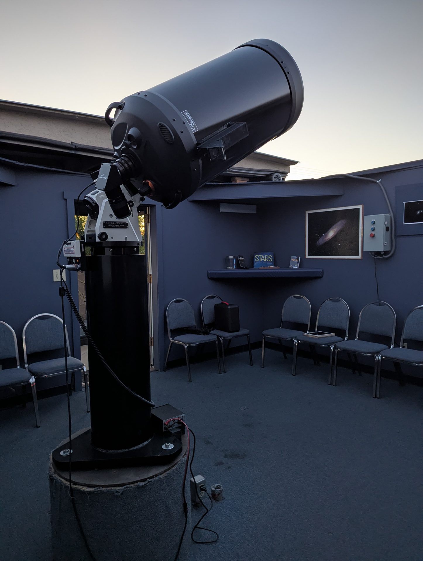
The Observatory features a Celestron 14-inch Schmidt-Cassegrain telescope and a brand new roll-off roof. Pretty Neat Stuff!
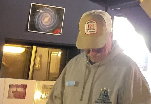
We had a resident astronomer as our guide. He was very knowledgeable and an all around nice guy. It wasn’t the best night because of the moon was still pretty full but we saw some great things, like Saturn’s rings very cool, two stars that were twin stars that one was blue and the other yellow, a very rare occurrence. A star in the North Star’s handle and different star clusters, etc.
It’s free to all park residents and it’s only $5 dollars a piece for non-residents. It’s definitely the Best Show Around.
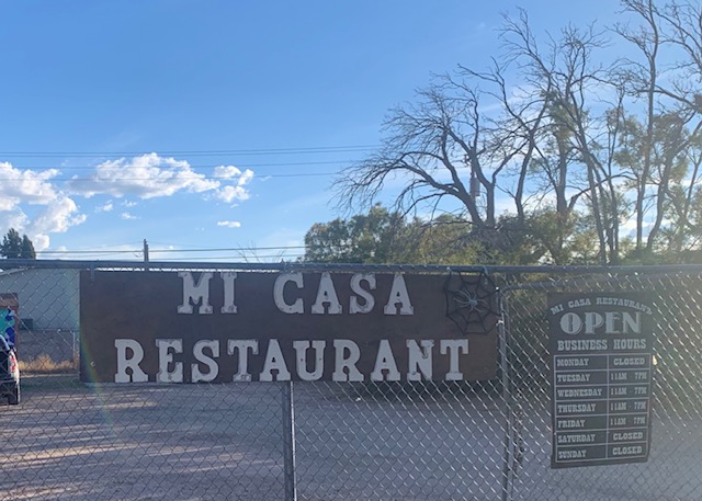
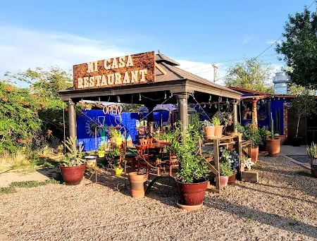
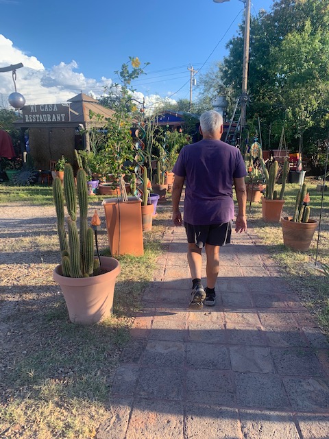
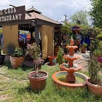
On Friday the 29th we went to dinner at Mi Casa Mexican Restaurant just down the road from us in Benson. I was glad Dave went, as Mexican food isn’t his favorite. But being the nice guy he is he unhesitatingly went.
For about 20 years Santa and Andy Sutton have co-owned the Mi Casa, a Mexican restaurant. They pride themselves in “preserving the art of old-school Mexican dishes made from scratch. From all the great reviews, people saying it’s their beloved spot known for its authentic Mexican cuisine and a homey atmosphere. We just had to go.
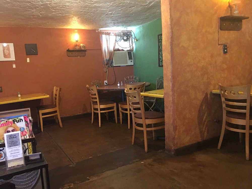
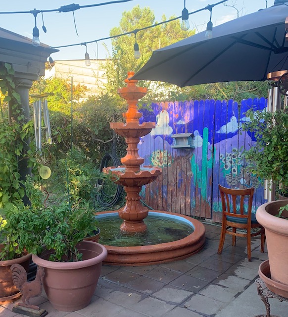
It is small inside but you can also sit outside.
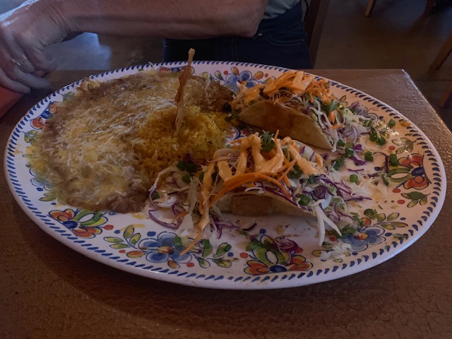
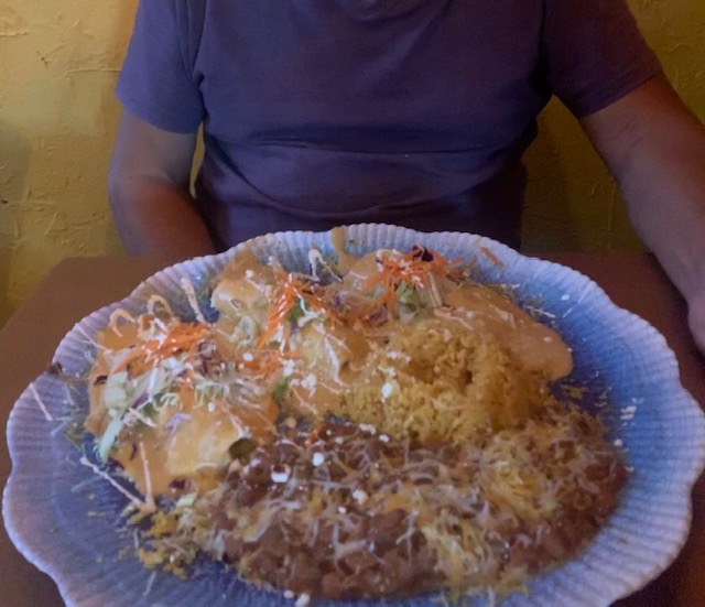
I had two shrimp tacos with rice and beans, that were so mighty tasty. Dave waited a bit for his dinner, three traditional chicken enchiladas with rice and beans. They had a note on the door saying they were short staffed and kept thanking us for patience. He did enjoy it when it came on a 16″ platter. He took some of his dinner home in a box, I on the other hand ate all of mine. It was as good as everyone was saying. They are only open Tuesday-Friday right now sp they gotta be doing something right.
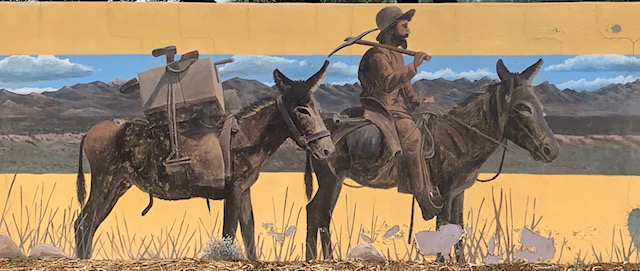
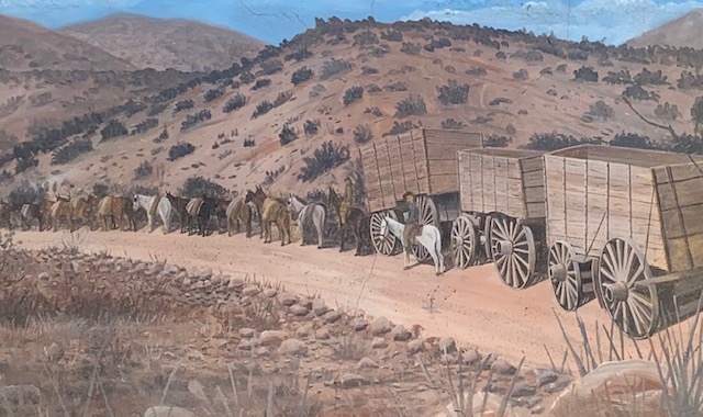
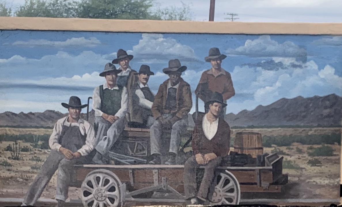
More of the great murals here in Benson, there are over 40 murals in Benson depicting the local history and culture. Done by artist Doug Quarels.
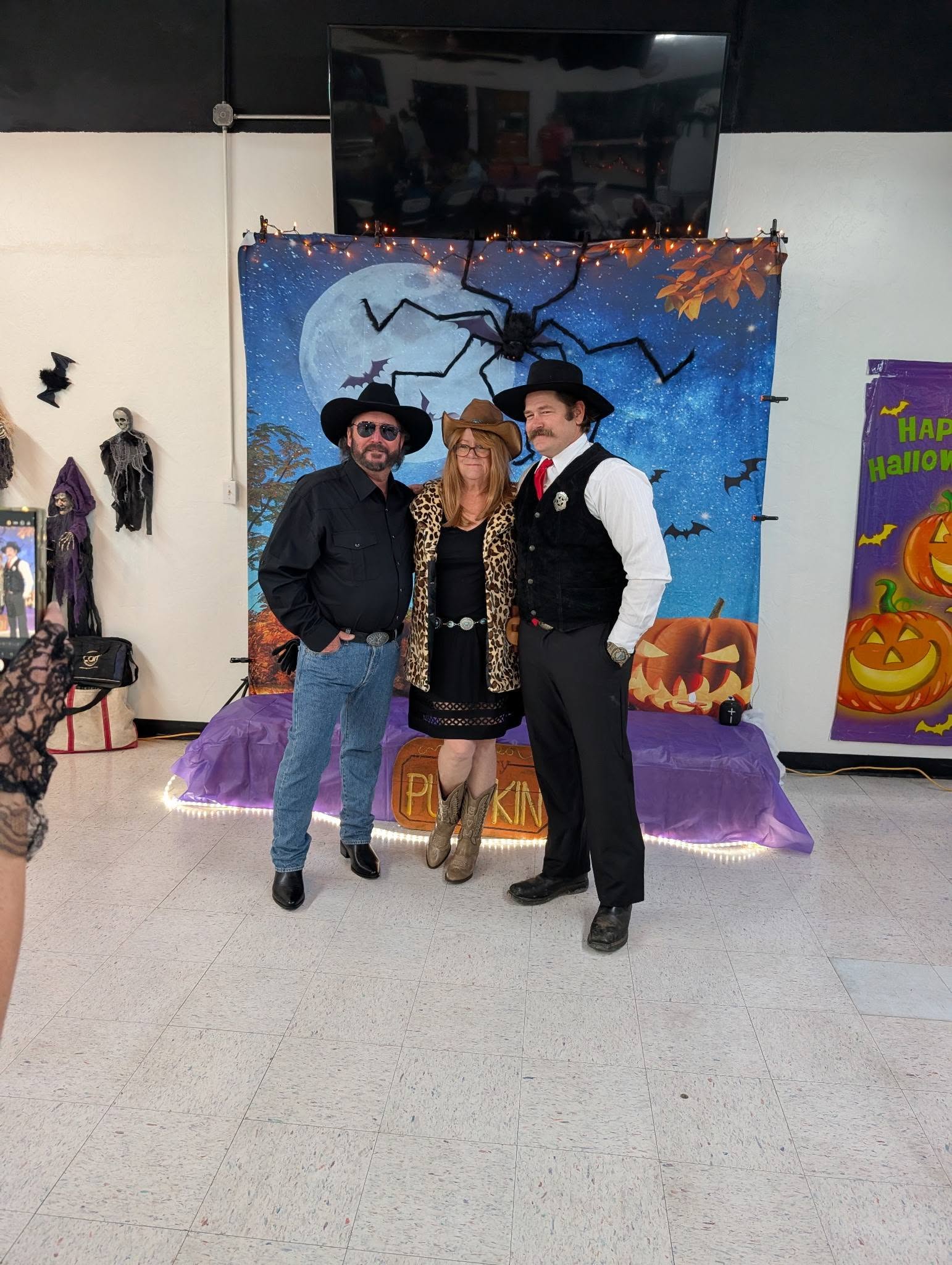
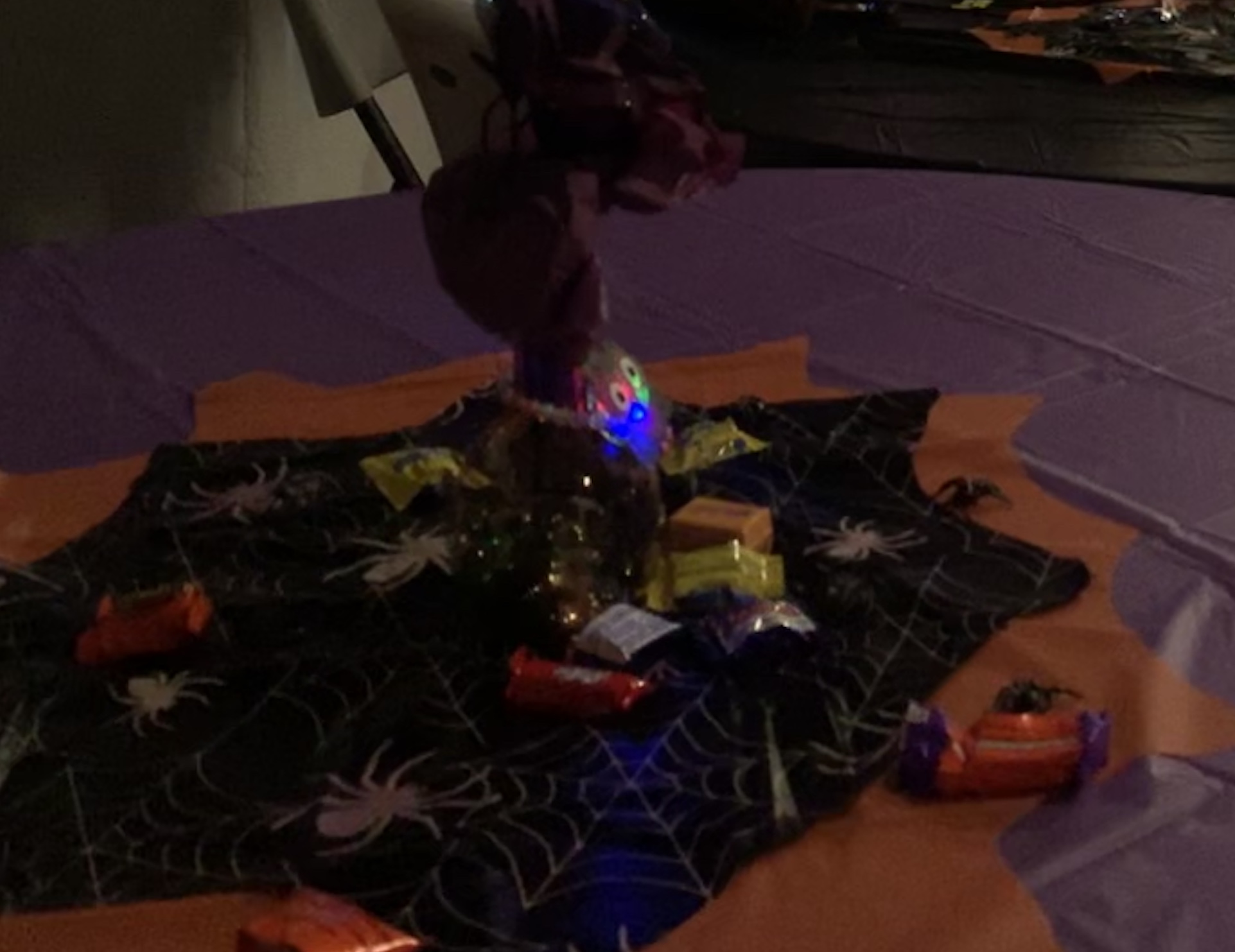
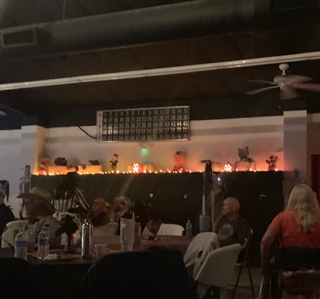
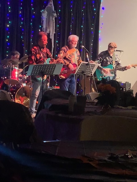
Saturday October 31st Butterfield RV Resort is having a Halloween Dance Party . Since I can’t go to Voyager RV Park for their annual Halloween dance, I’m going to attend Butterfields’s.
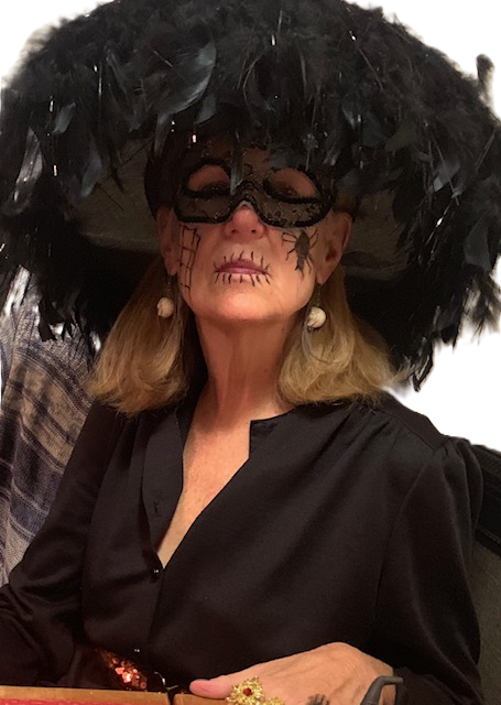
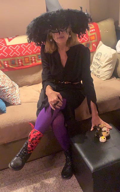
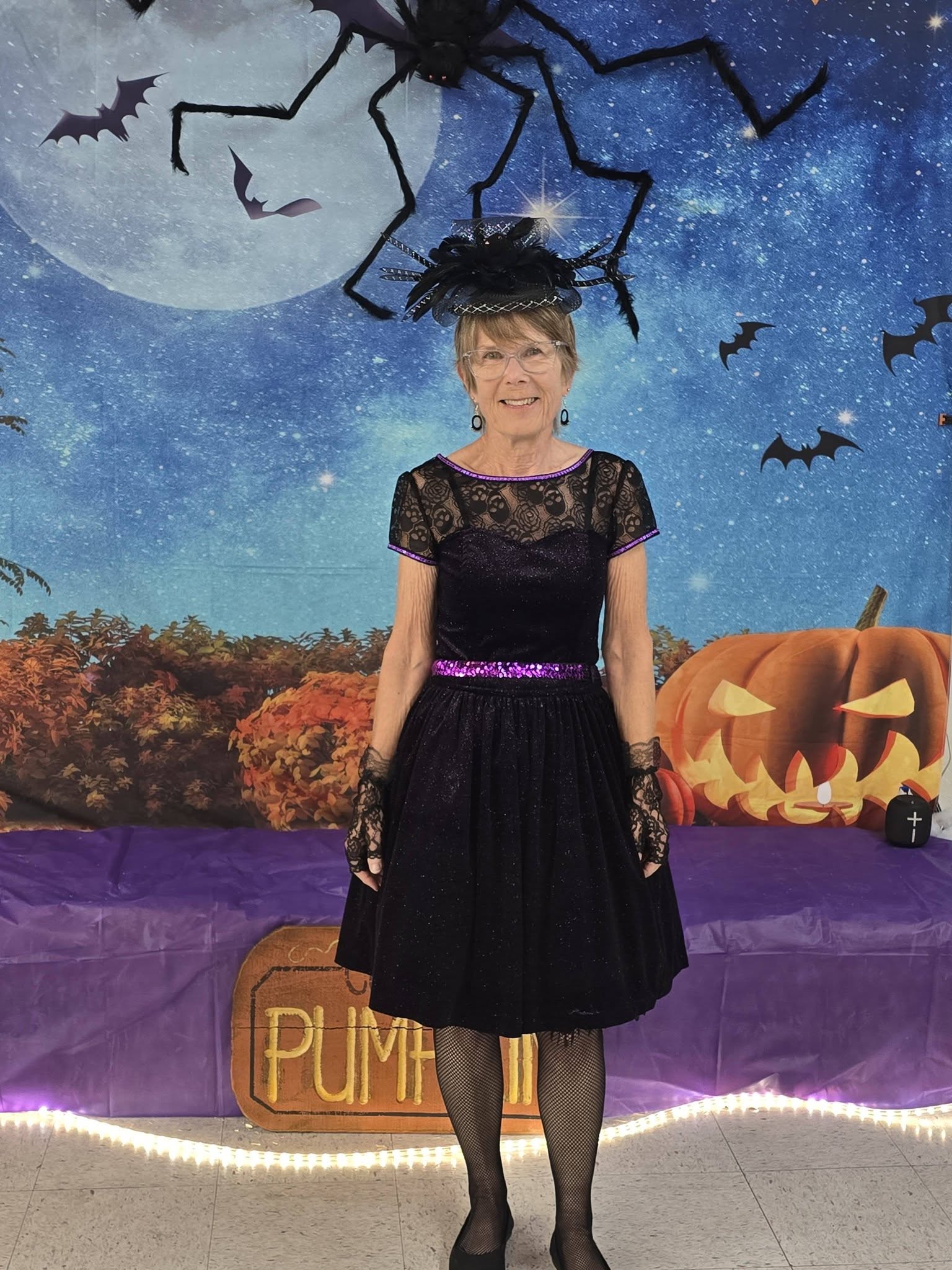
I was a witch this year. A witch is just a woman with power. With a broom, or without.” -Unknown
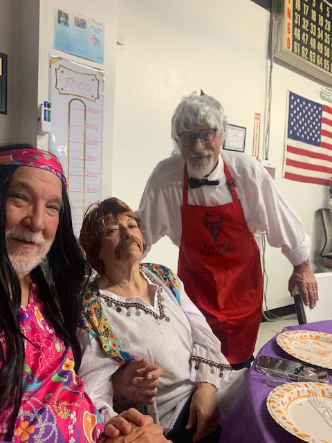
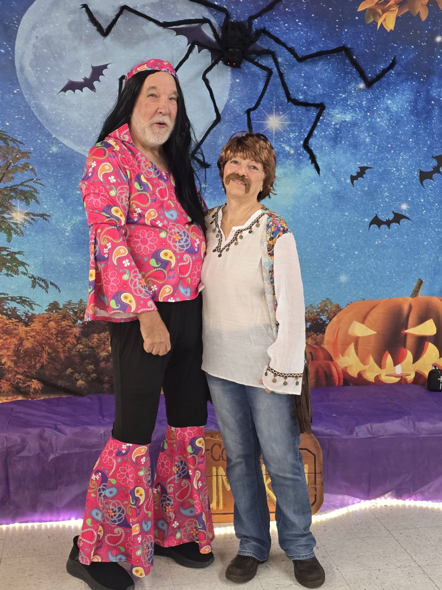
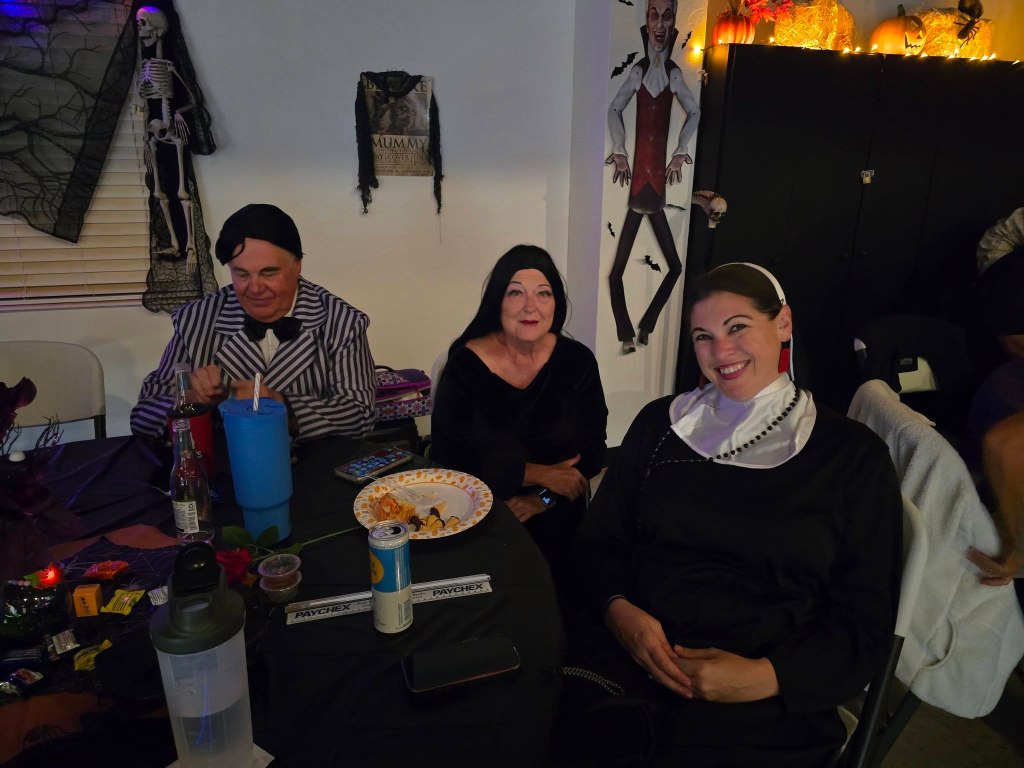
I sat with Cher and Sonny
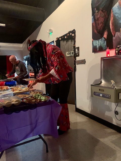
There was lots of food to eat
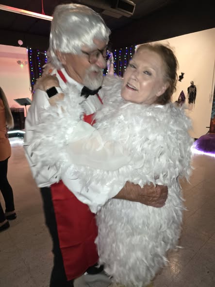
Colonel Saunders and the Chicken took 1st place.
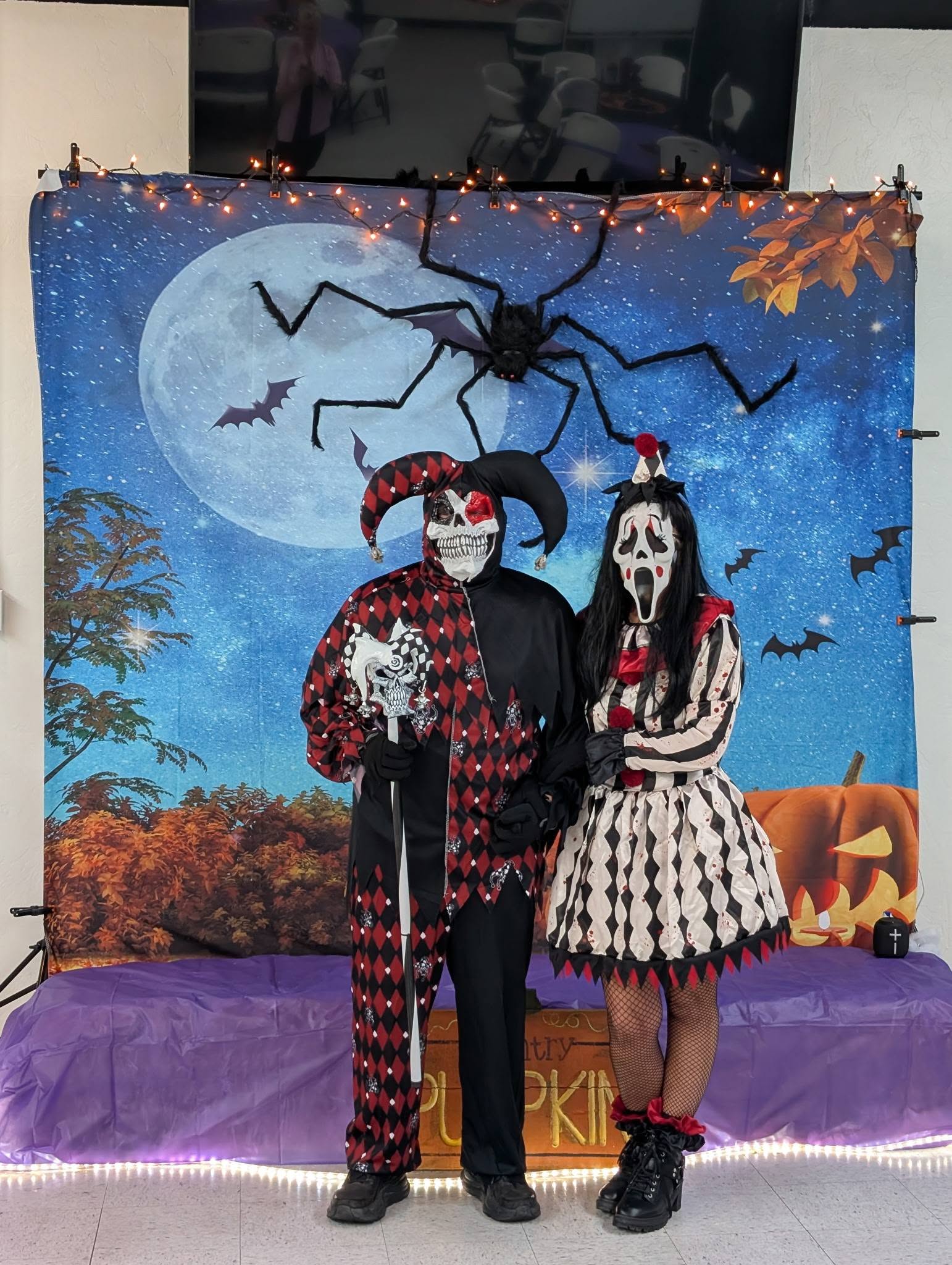
I believe Raggedy Ann and Death, I don’t want to know what happened to Andy! Took 2nd place, and the Scary People took 3rd place.
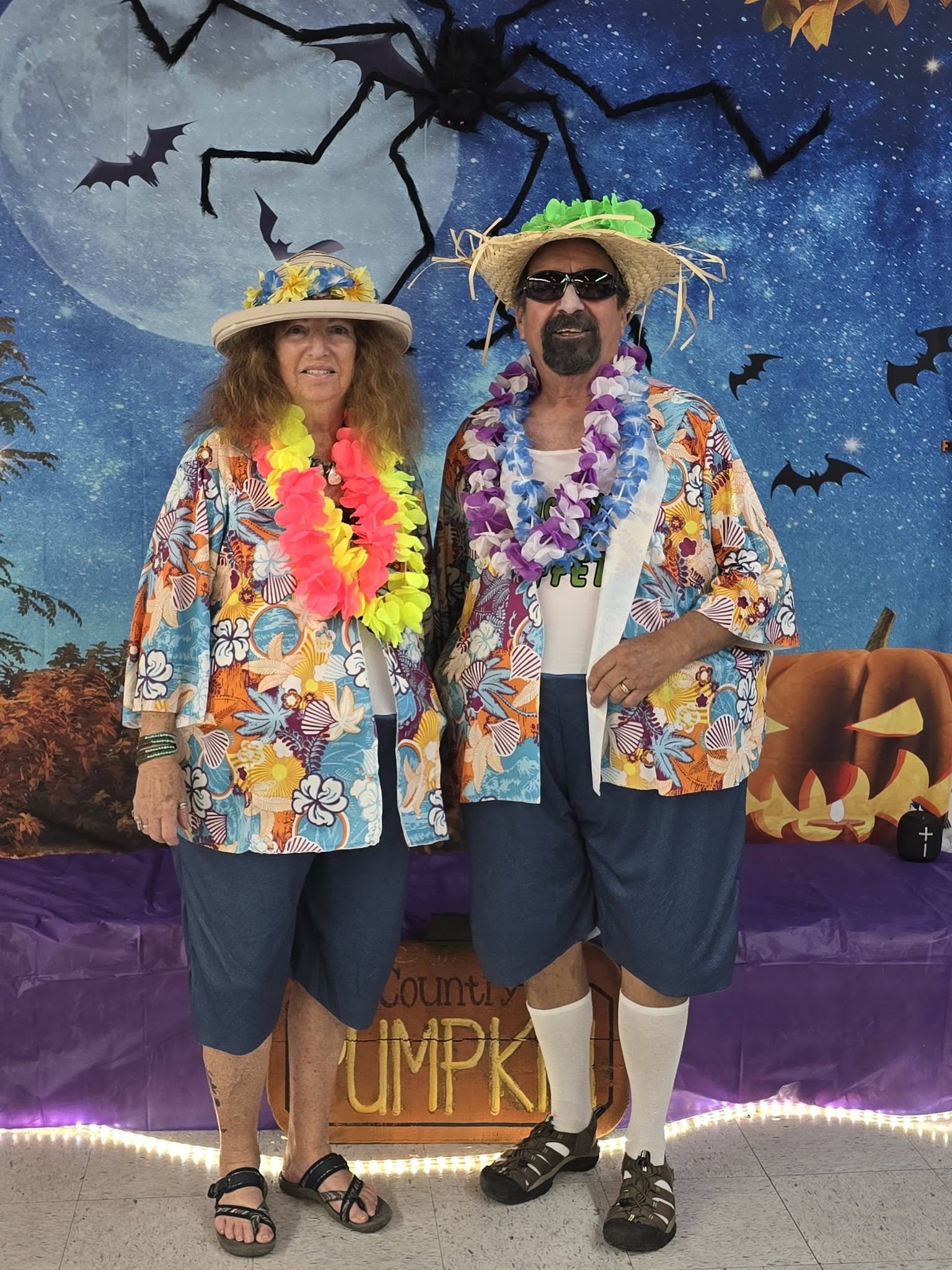
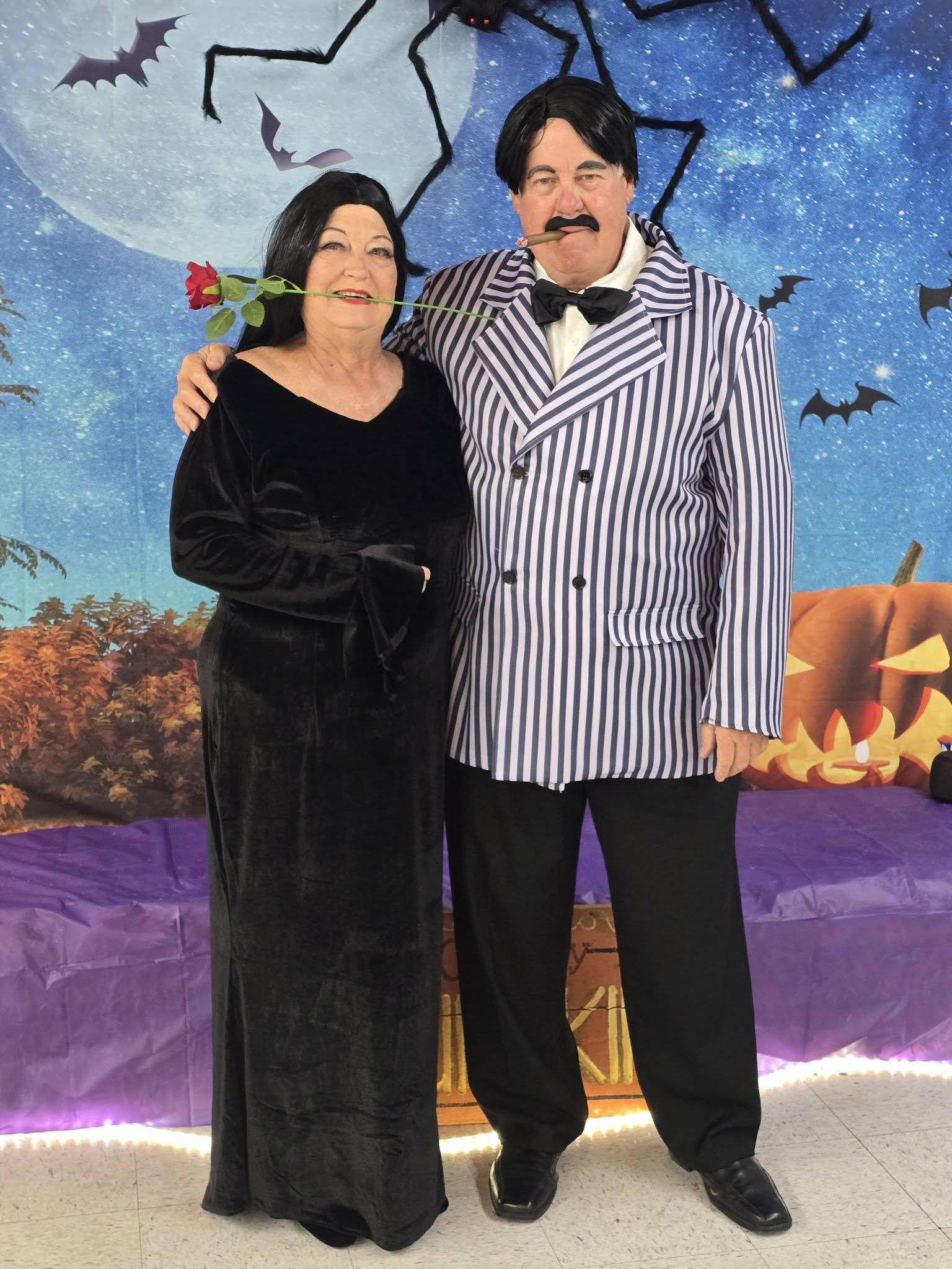
Beach Folks, Tourists and Morticia and Gomez
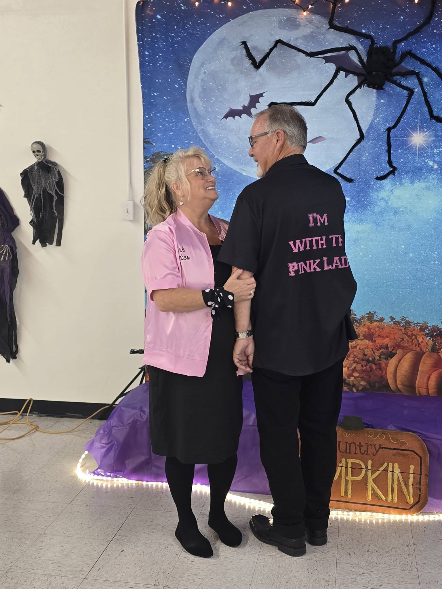
The Pink Twosome Last but not least Cher and Sonny
It was a fun time at the Butterfield Resort Halloween party.
“I just can’t wait until next Halloween ’cause I’ve got some new ideas that will really make them scream.” — Jack Skellington, The Nightmare Before Christmas
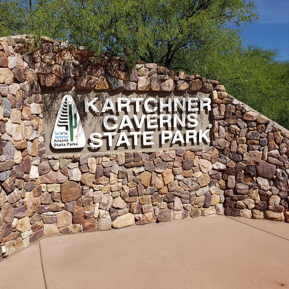
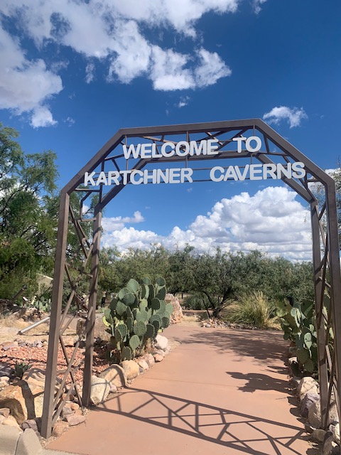
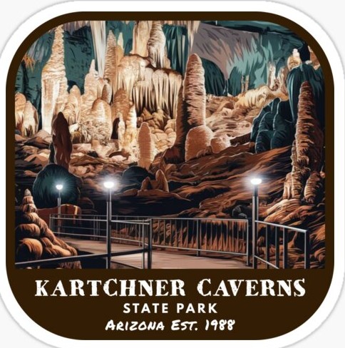
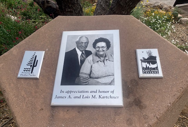
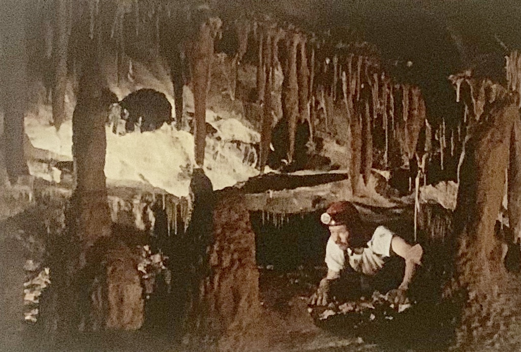
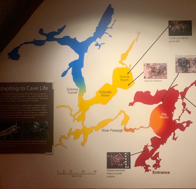
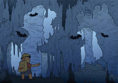
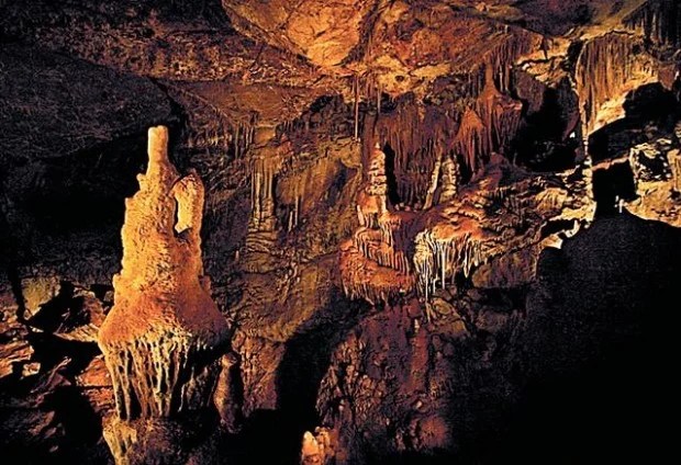
That’s just what we did on October 20th, we went to Kartchner Caverns a State Park in Arizona, featuring a show cave with 2.4 miles of passages. The park is located 9 miles south of the town of Benson and west of the north-flowing San Pedro River
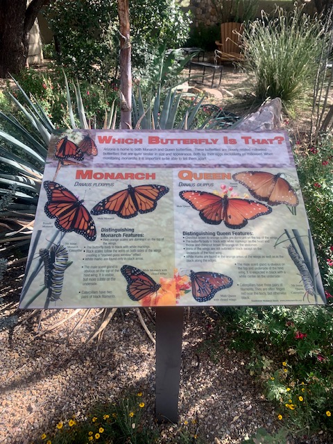
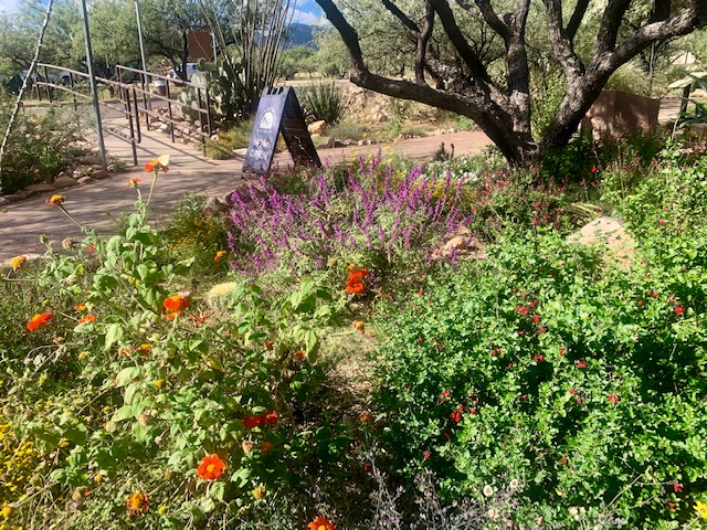
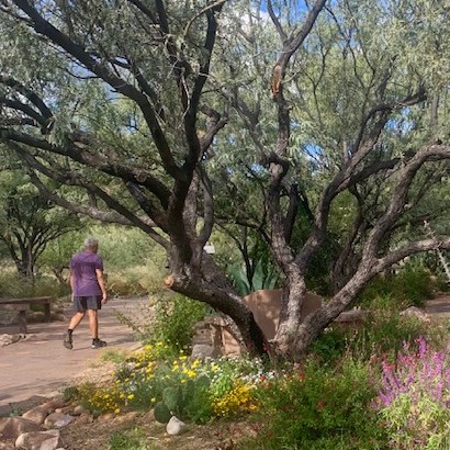
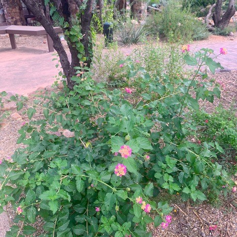
There is a butterfly garden with a path when you enter through to the Caverns.
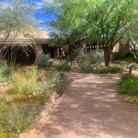
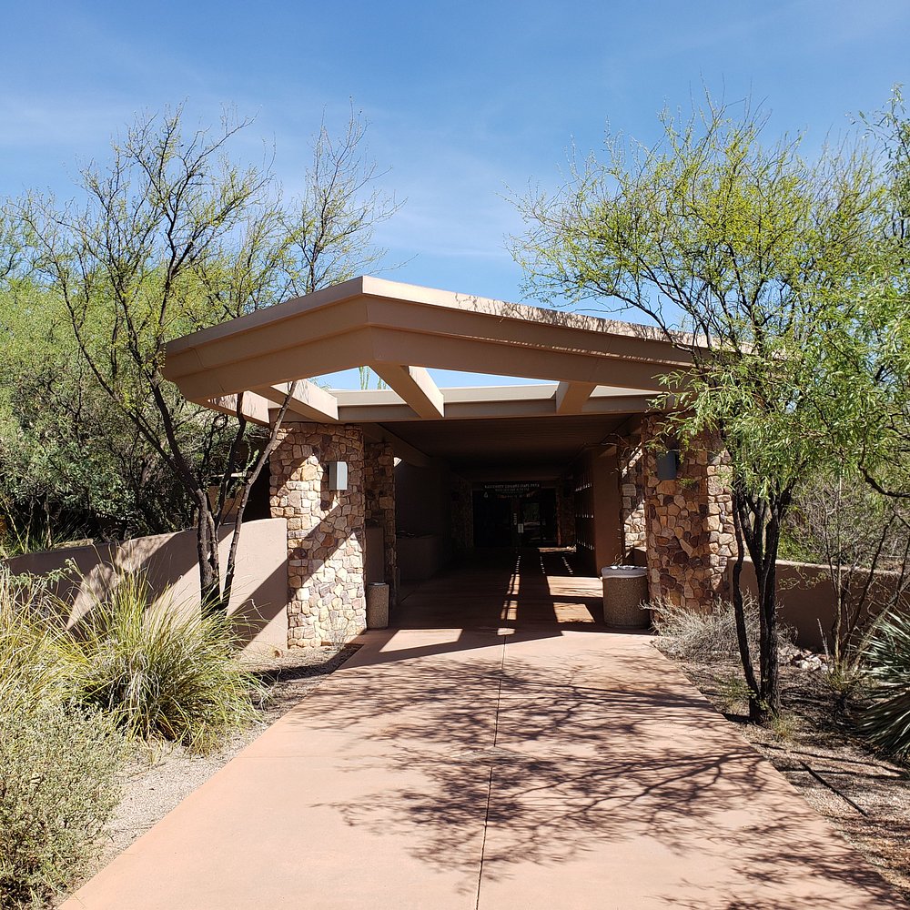
Entrance to the Visitor Center.
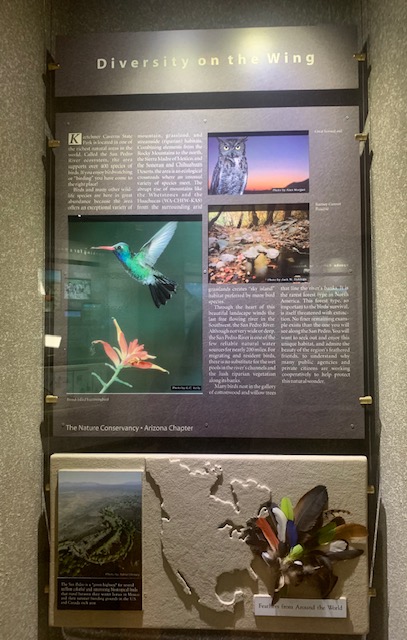
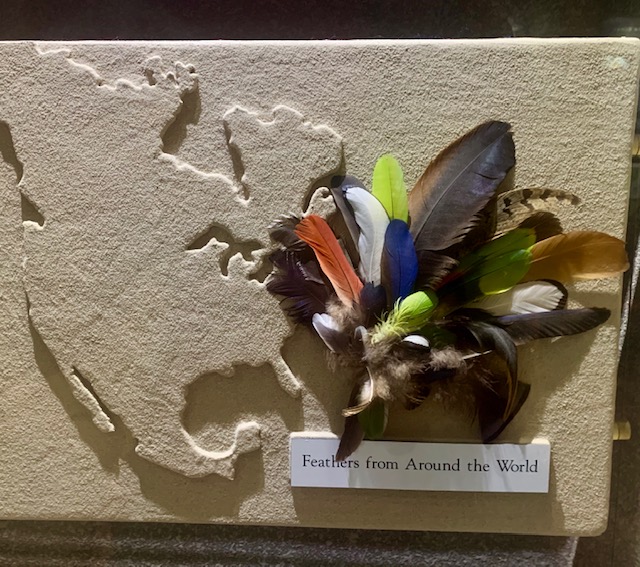
This display is for our friend Marcia, who is longer with us. She loved birds and was a wonderful bird guide.
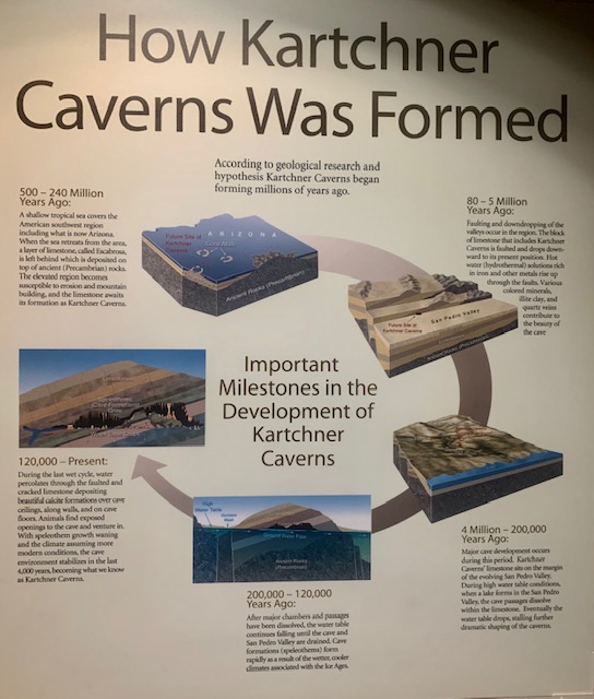
Kartchner Caverns were created over millions of years through a series of geological processes, including marine sediment buildup, tectonic lifting, acidic water erosion, and gradual mineral deposition. By these stages of formations. Limestone Deposition (About 330 Million Years Ago), Tectonic Uplift and Faulting moving and tilting (About 10 to 15 Million Years Ago), Cave Excavation where slightly acidic groundwater seeped through cracks and fractures in the buried limestone, slowly dissolving the rock and carving out large underground rooms and passages. Then by water receding the water table dropped, draining the underground chambers and filling them with air instead of water. Speleothem Growth lasted about 2000,000 years. Finally rainwater trickled down from the surface, picking up dissolved minerals like calcite. As the water entered the air-filled cave, trapped carbon dioxide escaped, causing the water to drop its mineral load. Over hundreds of thousands of years, these drops built delicate stalactites, stalagmites, columns, and flowstones. That’s what ot took to make this remarkable cave!
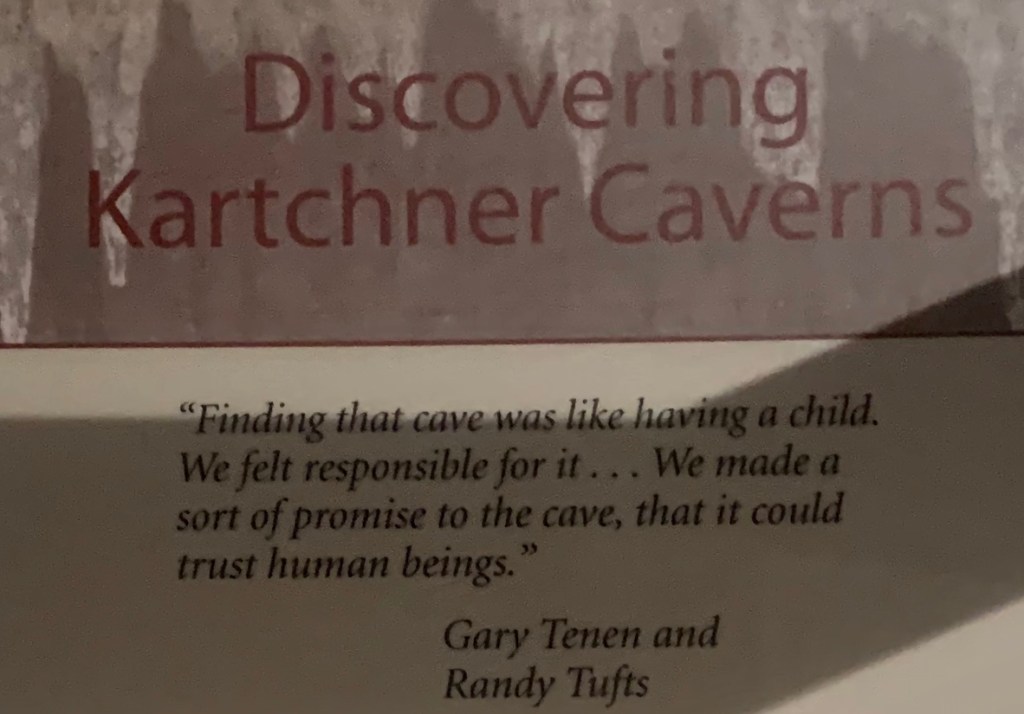
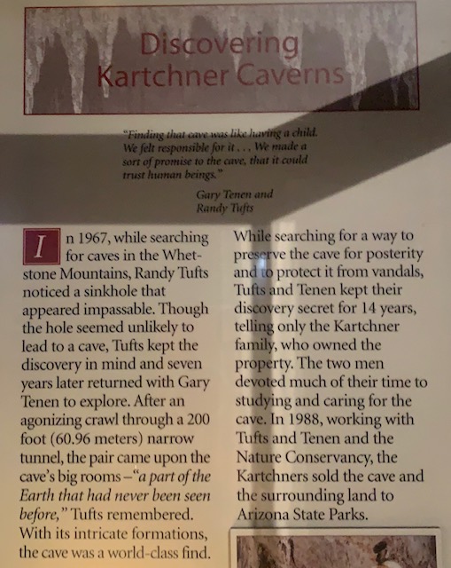
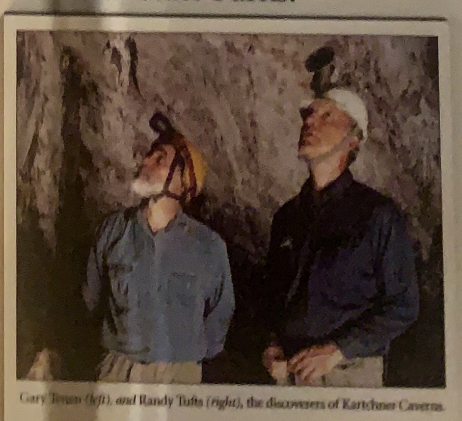
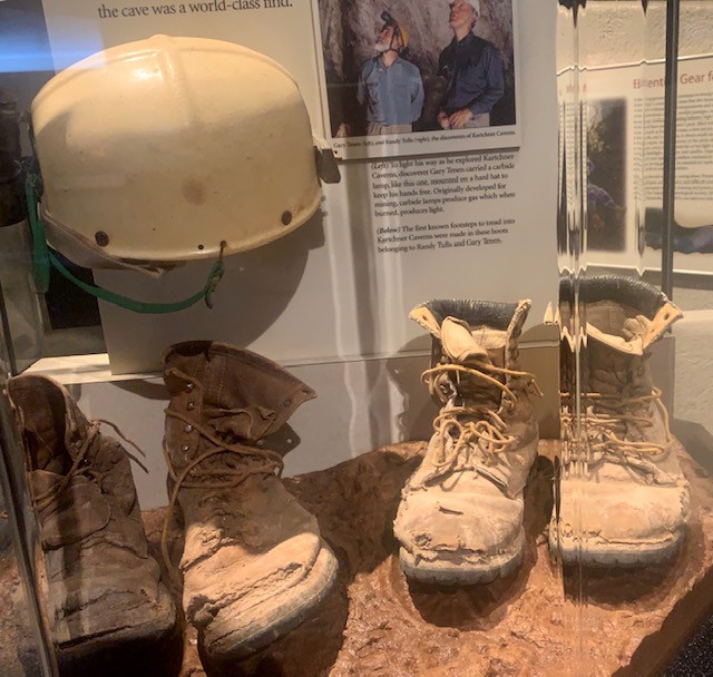
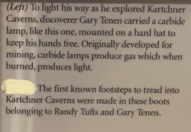
How the cave was discovered.
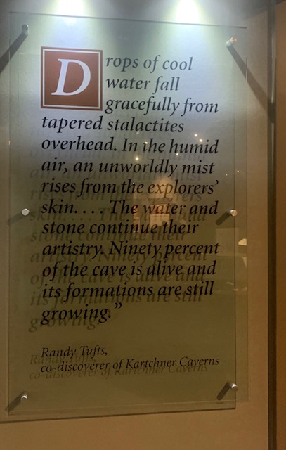
Gary Tenen and Randy Tufts, I bet they were so excited to see the cave that they dirtied their pants.
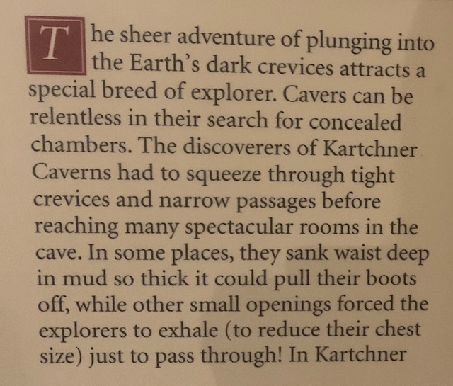
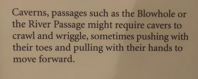
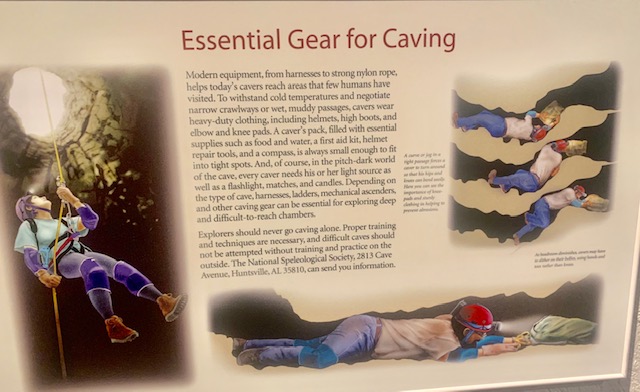
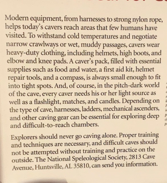
Just in by chance you were thinking about becommng a “Caver”
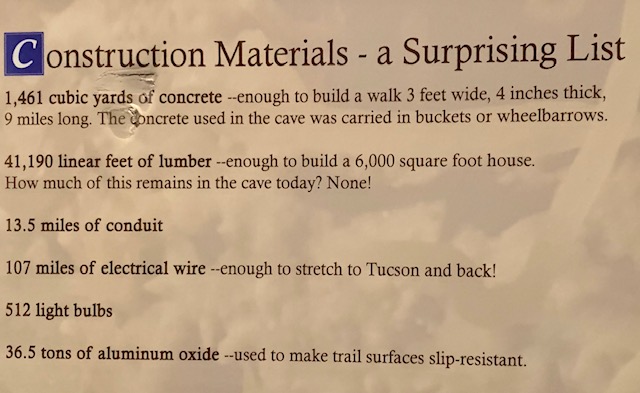
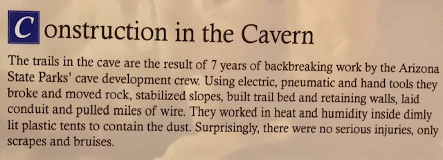
Construction of Katchner Caverns as a public state park started after the Arizona State Park Board bought the land on September 16, 1988, and it took 11 years to build the necessary structure and framework. The Nature Conservancy secured the land in 1985, and the Arizona Parks Board finalized the purchase in September 1988 after legislative funding was approved. The state invested $28 million to construct specialized high-tech air-lock doors, climate-monitoring equipment, misting systems, and paved walkways designed to preserve the cave’s natural humidity and living formations.
The park officially opened to the public on November 5, 1999.
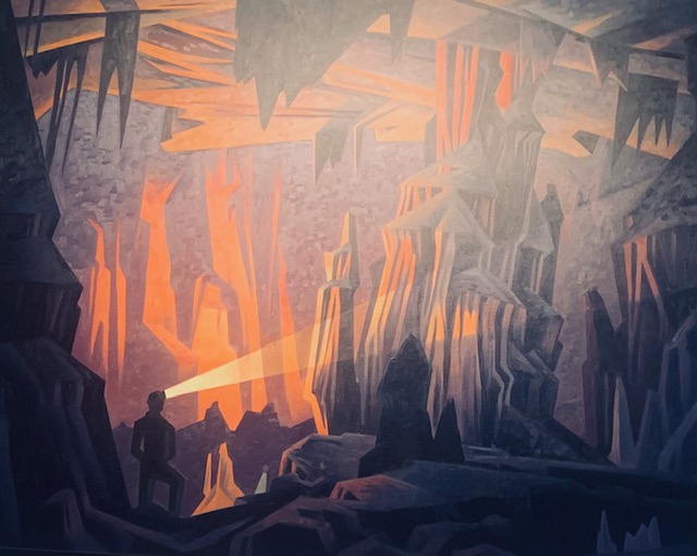
The three sections that made up the cave are the Throne Room, the Rotunda Room and the Big Room.
Once the state took over construction in 1988, It took dozens of specialists to keep the project moving along. It required a massive multidisciplinary team that included geologists, hydrologists, paleontologists, and specialized underground construction workers. Workers had to blast and excavate tunnels while under strict instructions not to alter the cave’s delicate humidity. They installed heavy air-lock doors, customized misting systems, and elevated barrier paths to ensure human lint, hair, and footprints wouldn’t destroy the ecosystem.
I saw my very first sloth at Madrea Canyon here in AZ with my friend Marcia.
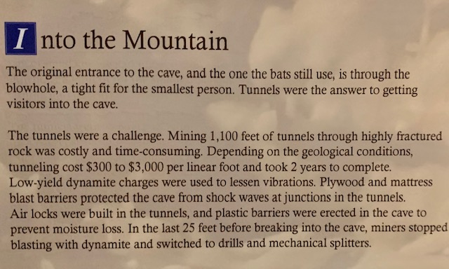
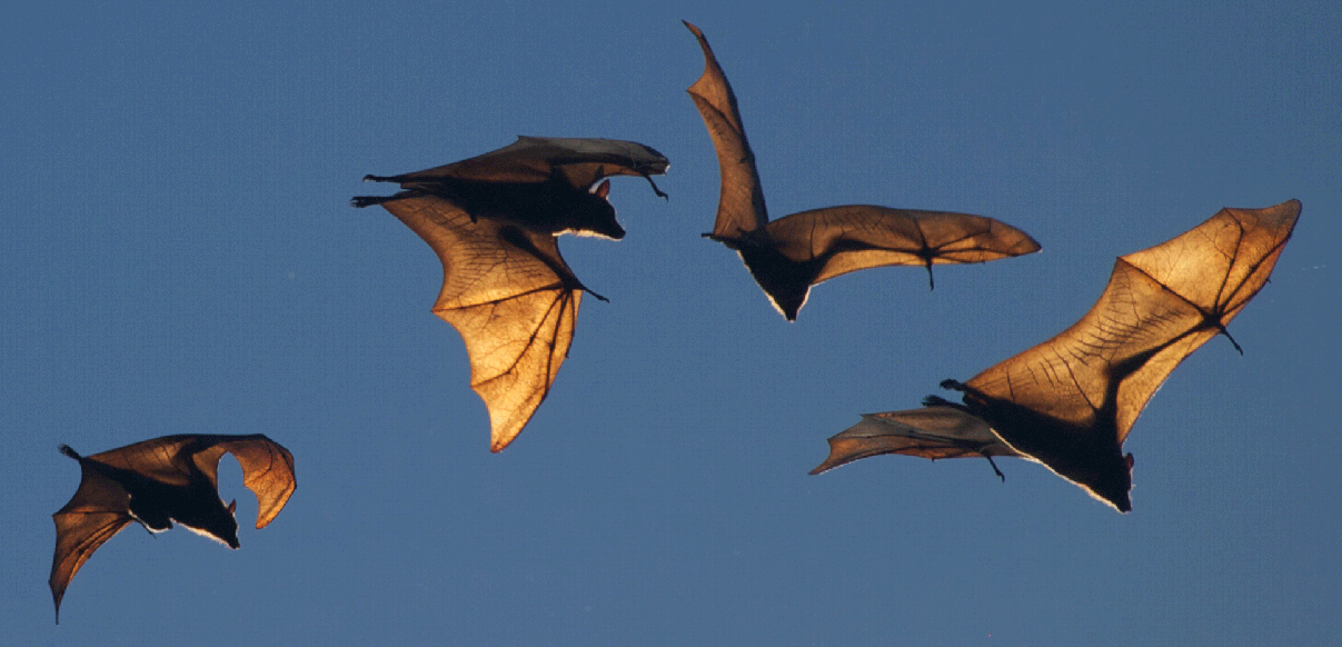
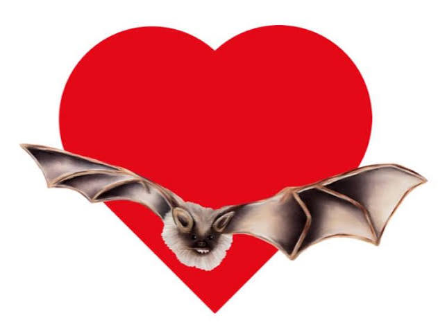
Katchner Caverns are inhabited by many micro such beings but a major occupant are bats. During maternity season pregnant female, cave myotis come to the Big Room in late April, give birth in June, and leave by late September or early October. The Big Room is then closed to public cave tours from April 15 to October 15 every year to protect the nursery. Bats are very good for the caverns because bat guano (droppings) introduces vital nutrients that support a rare underground invertebrate food chain inside the cave.
Did you know that bats are important for our ecosystems and economies? They help control pests, pollinate plants, and spread seeds. One bat can consume between 800 up to 1,200 mosquito-sized insects in just one hour! Many plants rely almost entirely on bats for survival. Agave (the plant used to make tequila), bananas, mangoes, and avocados depend on bats to pollinate their flowers. Just a few of the good things bats do. Plus there neat to alone or in big groups.
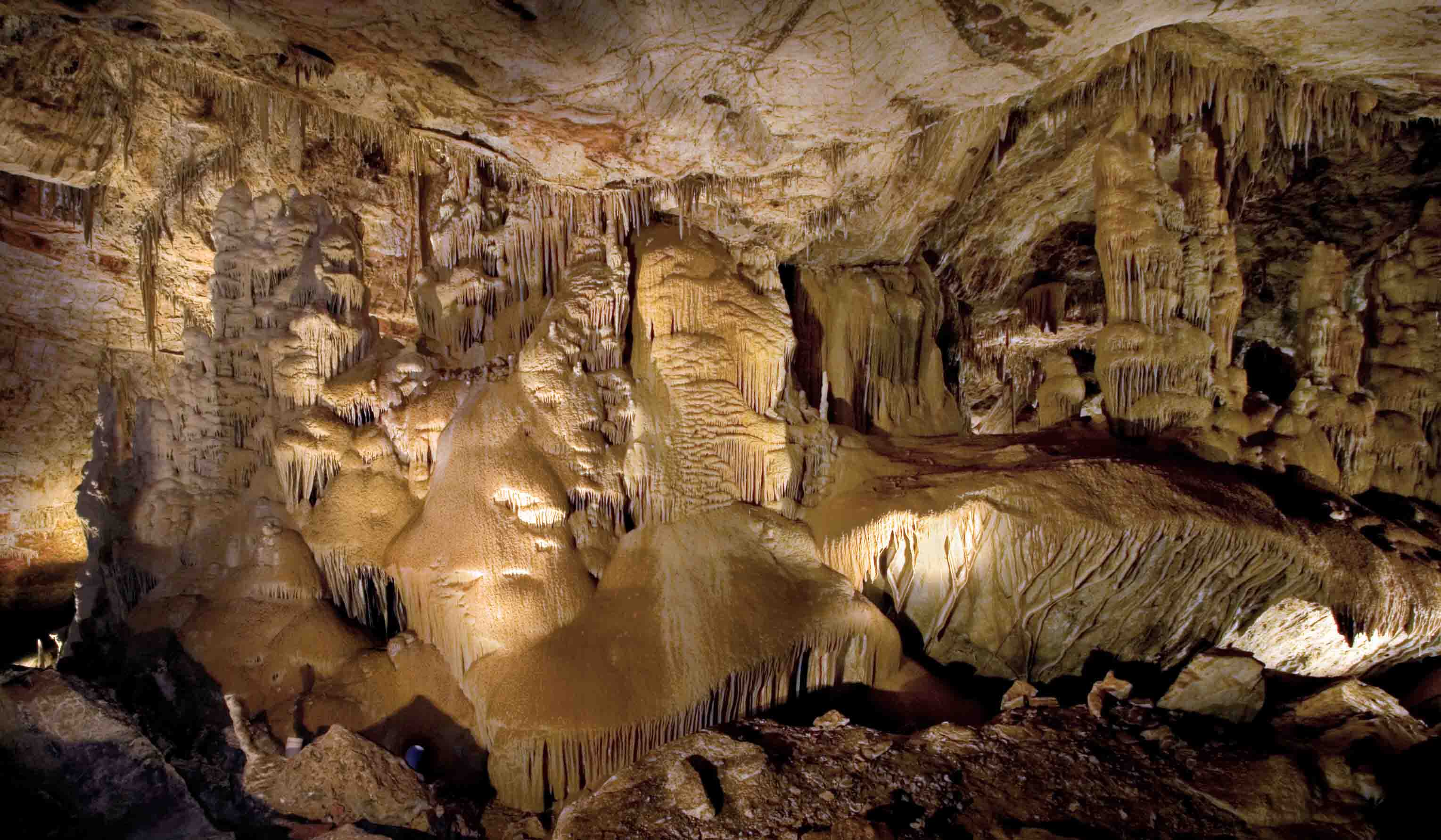
Photography is not allowed on regular tours at the Caverns to protect the fragile ecosystem and ensure a safe, smooth tour experience. But I did use some of the parks pictures for the blog.
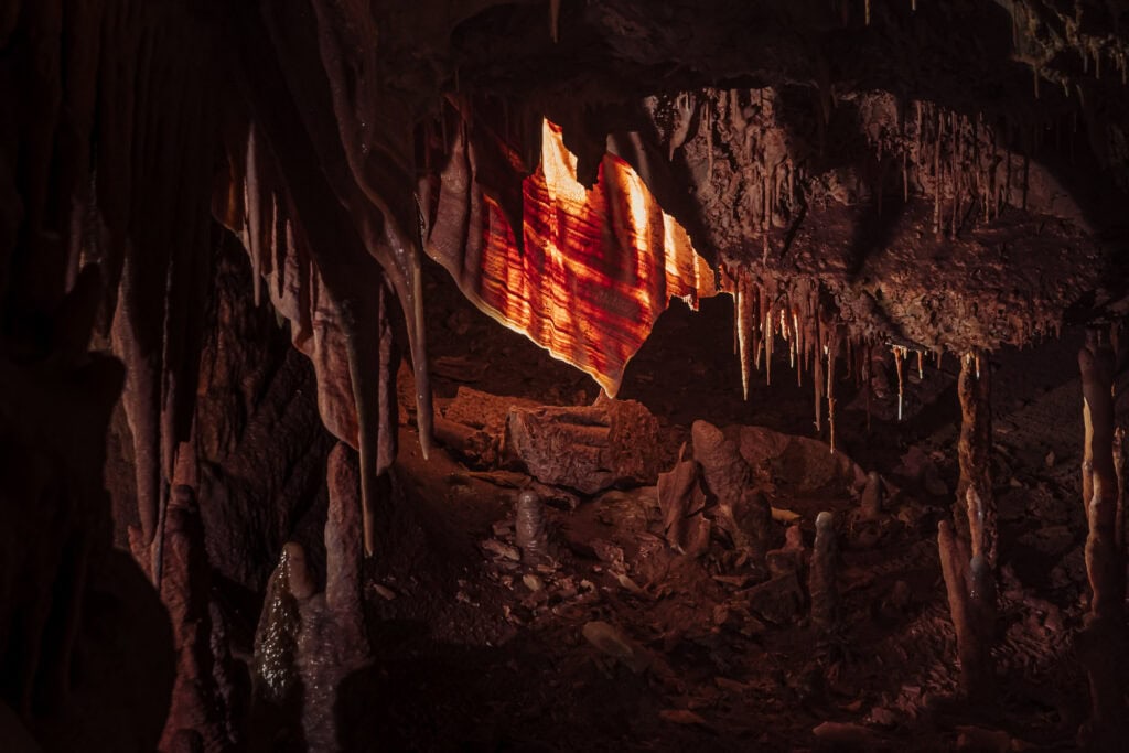
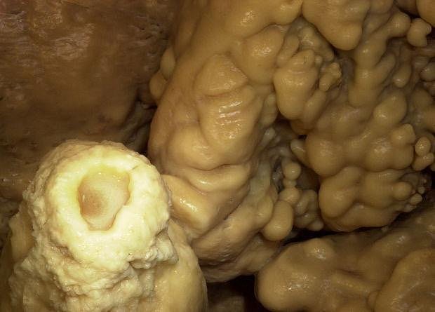
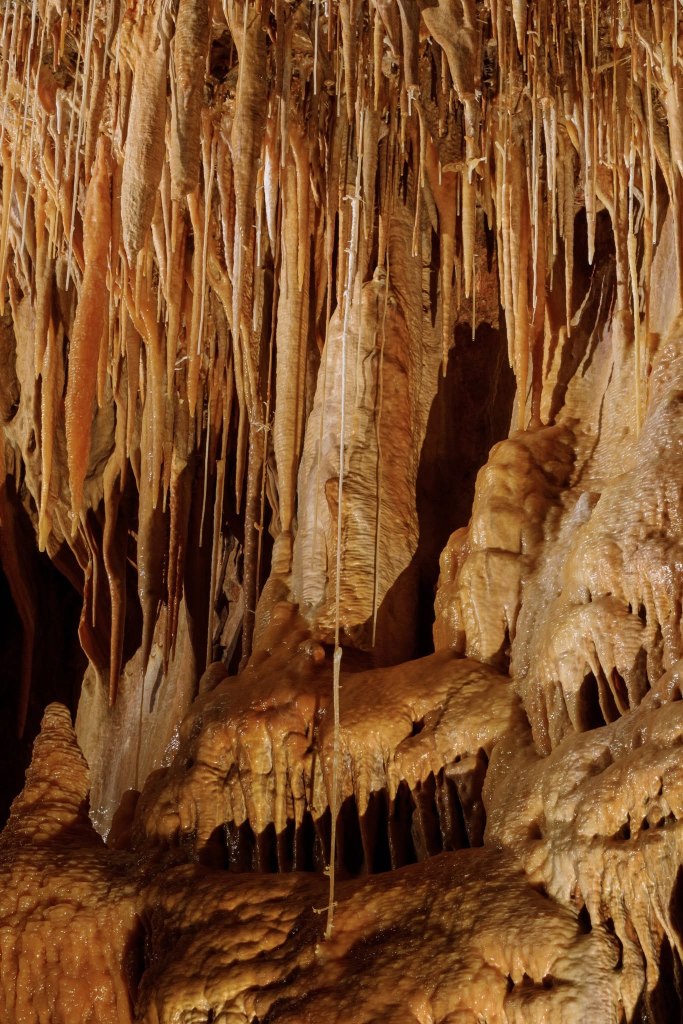
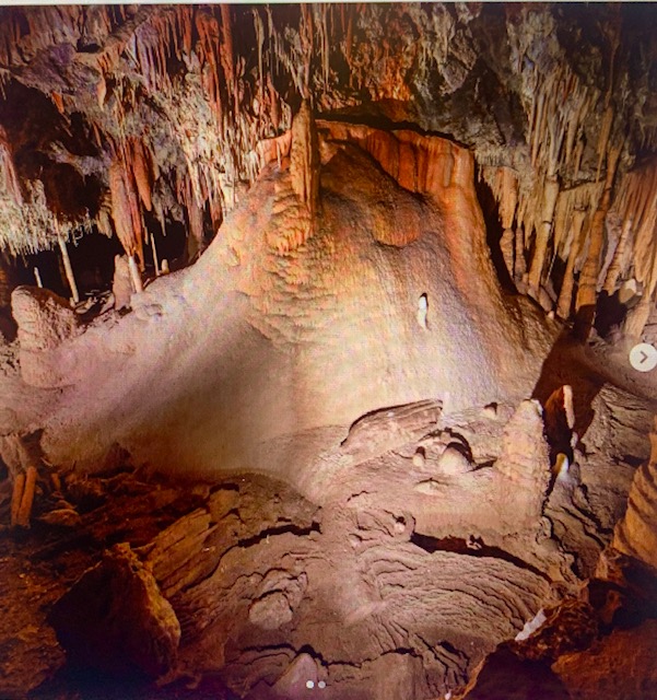
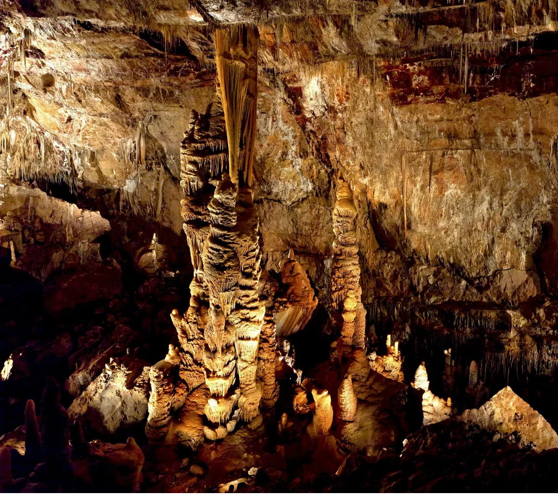
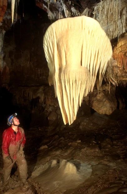
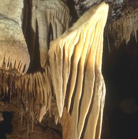
The first picture because of it’s ribbon-like formation, is called “Cave Bacon.” The second picture the formation is called an Egg. I didn’t know the tour would make you hungry.
These are called Soda Straw formations because they are thin, hollow stalactites that hang from the ceiling like drinking straws. Katchner Caverns has one of the longest soda straw stalactites in the world, which is 21 feet 3 inches long in the Throne Room.
When the cave’s discoverers first saw these formations, they described them as looking like a strawberry sundae melting. The Strawberry name stuck. There are Strawberry Formations in part of the Big Cave.
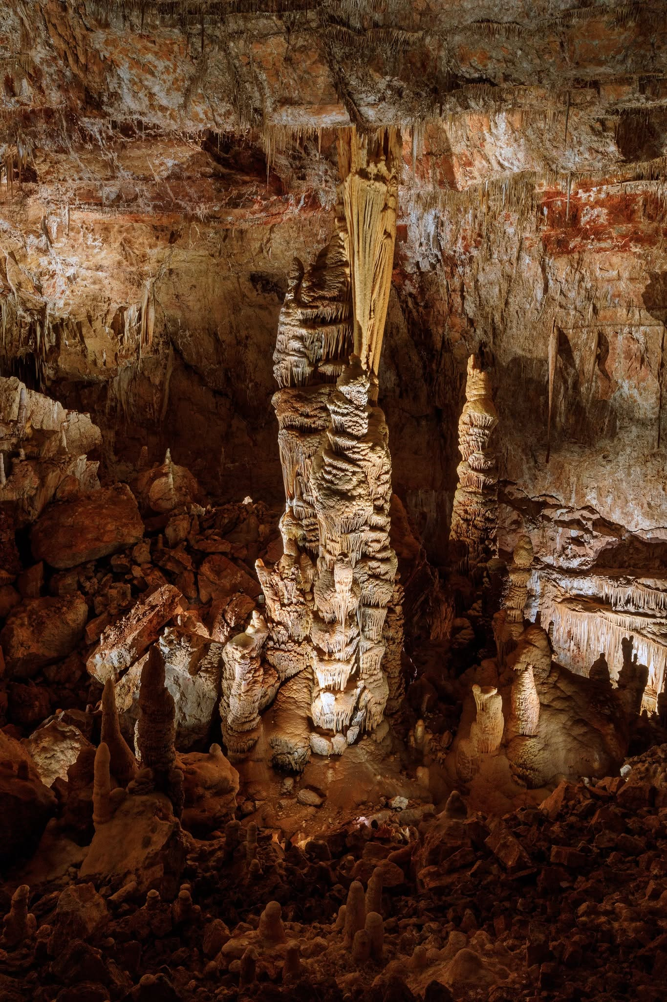
The tallest and most massive column in Arizona is called the Kubla Khan. It stands 58 feet tall and roughly 12 feet in diameter at its widest part, it is the tallest and most massive cave column in Arizona.
They named the massive formation after the ruler in Samuel Taylor Coleridge’s famous 1797 poem “Kubla Khan” (which opens with the lines about the pleasure-dome in Xanadu).
The Big Room has Brushite Moonmilk formations, they have a soft, white, creamy, or pasty mineral deposit that coats cave walls and floors.
The Big Room
There’s a lot more neat things to see in Arizona’s only underground park.
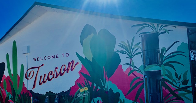
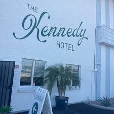
It was on Friday October 1st that we got into Tucson and stayed overnight at Kennedy Center Hotel.
It was a very nice place.
On Saturday, we hitched up the 5th wheel and left Tucson. We went North a bit to Benson and to the Butterfiled RV Resort.
We’re gonna be staying here till November 1st.
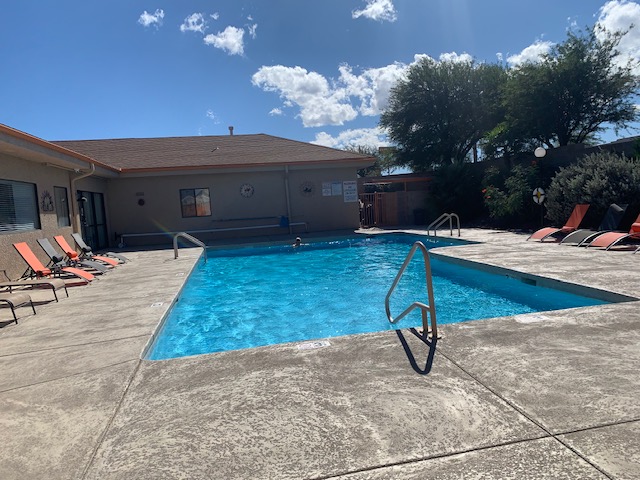
It is a nice RV resort, we were here in 2022 before we went to Voyager. It’s well maintained with paved roads a visitor center that has everything and a pool. It even has an observatory you can go to for free. We haven’t been there yet but we surly will. We’re staying here to get organized, sort thru things and clean the RV.
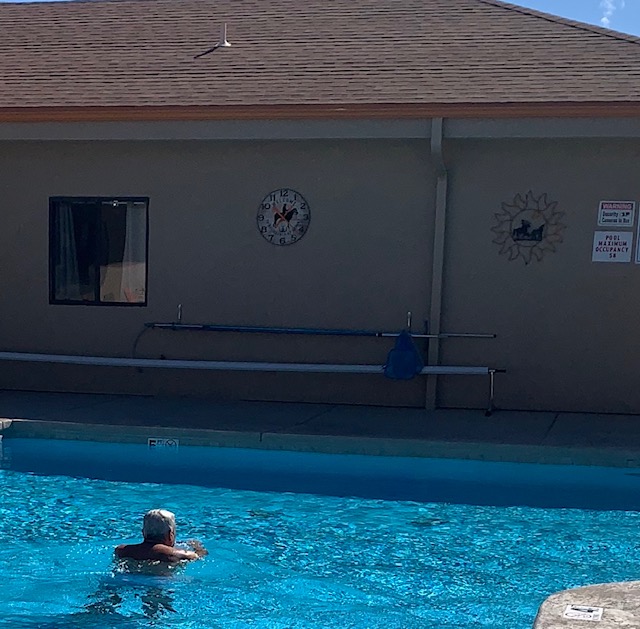
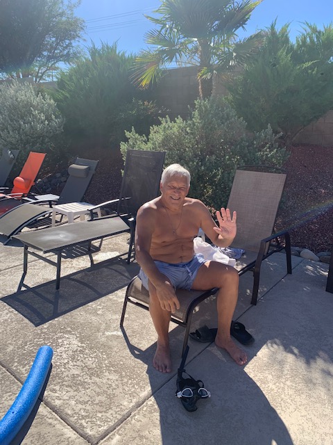
We’ve been using the pool area.
Dave is waving to ya’ll.
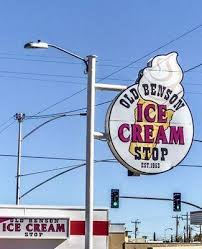
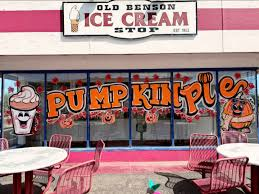
Once we were all settled in, I knew there was an Ice Cream place just down the road, So if you know me, it was the first place I wanted to go!
The ice cream is yummy. They even had a spot for Dave!
The original Ice Cream Stop
The Old Benson Ice Cream Stop has been a local landmark in Benson, Arizona, since 1953. It was originally owned by the sixth-grade teacher of local resident Larry Dempster. Larry Dempster worked at the shop as a cleanup boy all through his junior high and high school years. After moving away for college and spending 35 away from Benson, Dempster and his wife returned to Benson, They purchased the historic shop, and restored it. Now it has new owners Donna and Charlie Glover, who continued its long-standing retro roadside traditions.
I’m definitely going back before we leave!
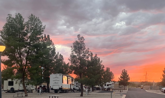
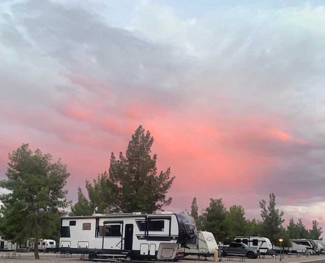
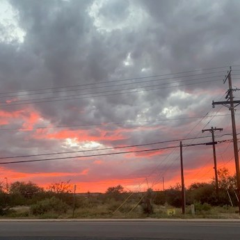
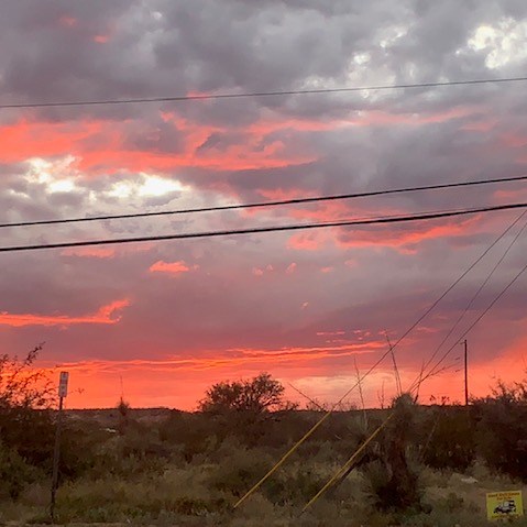
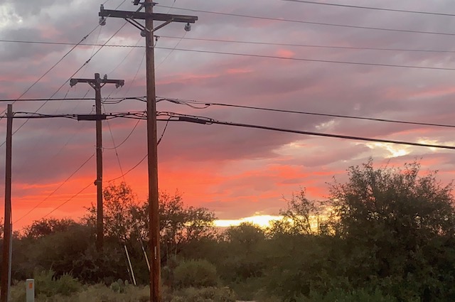
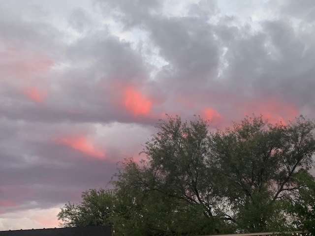
Benson has some beautiful sunsets. This one was on October 9th.
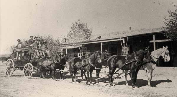
In 1858 this area had a stagecoach called “Butterfield Overland Mail,” that stopped in town. It was anchored nearby by at the San Pedro River Station. The historic 2,800-mile transcontinental mail and passenger line ran from St. Louis and Memphis to San Francisco. In southeastern Arizona, stages came through Apache Pass, headed toward the Benson area, and continued on towards Cienega Station (Vail) and Tucson. It closed due to the Civil War. In 1885 Wells Fargo took it over.
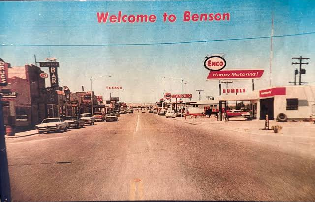
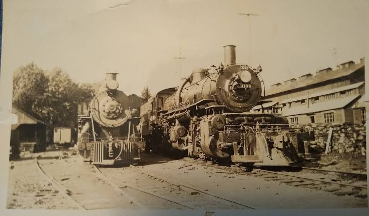
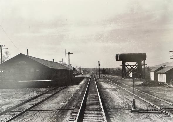
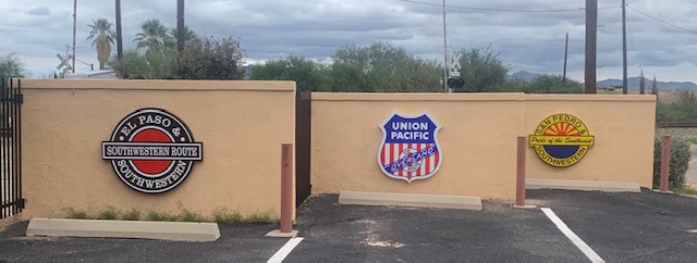
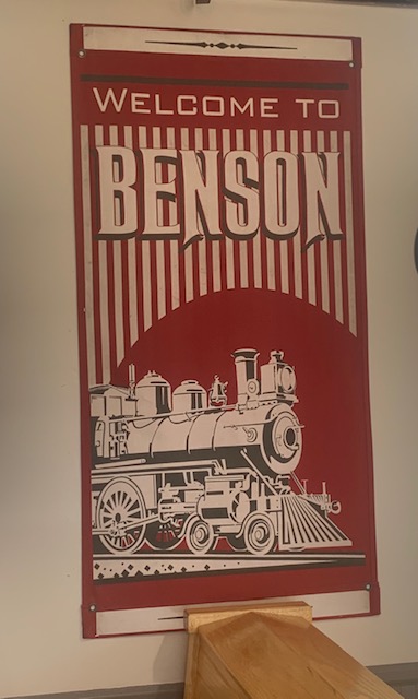
Benson, Arizona, was founded in 1880 when the Southern Pacific Railroad extended its tracks through the Upper San Pedro Valley. It was named after after Judge William B. Benson. The town quickly transformed into a major rail and trade center for southeastern Arizona. It also became a railroad transportation hub as many rail road lines came through the town. Benson also acted as a vital supply, shipping, and milling hub for nearby Old West boomtowns. It was also processing silver, copper, and lead ores.
The town attracted a diverse population of merchants, ranchers, christian agricultural colonies, and Chinese settlers. It was officially incorporated in 1924 and achieved city status in 1985.
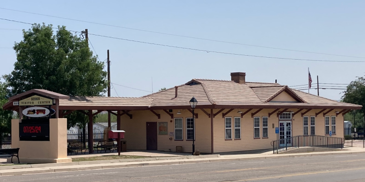
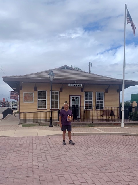
The old train depot was tore down and but they built a replica of the historic 1880 Southern Pacific train depot, that is now the Visitor Center.
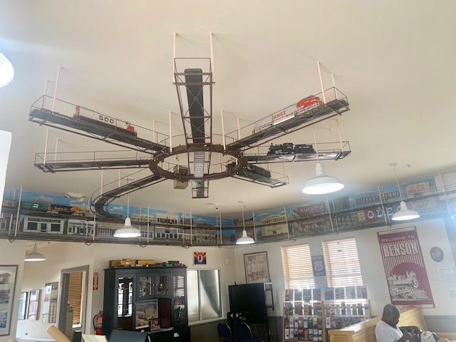
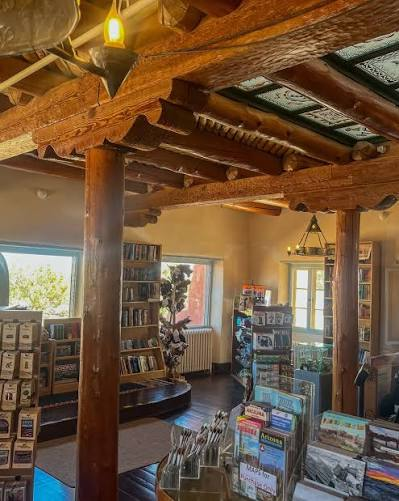
On October 12th we went to visit the Train Station/Visitor Center.
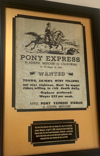
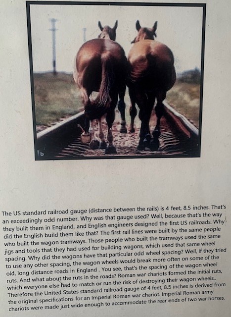
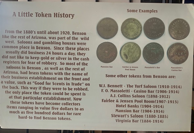
The pictures above are a few items the visitor center had acquired.
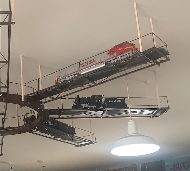
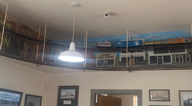
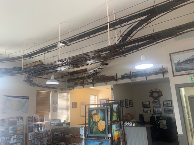
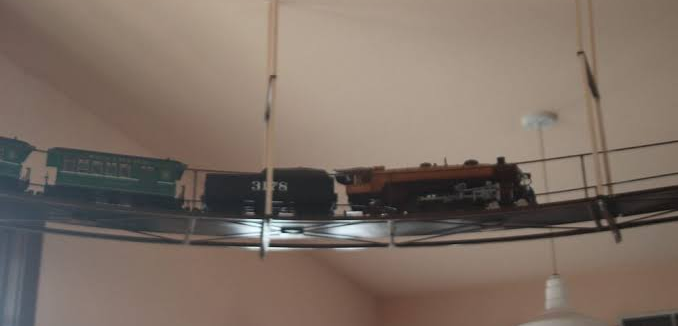
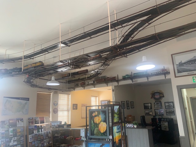
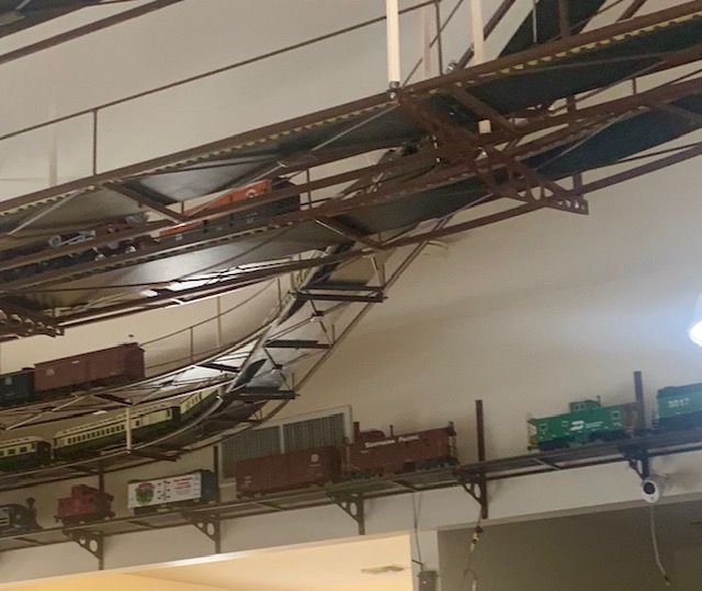
When you entered the visitor center you aware of all the train sets and trains that were everywhere, way high on the walls and even on fans.
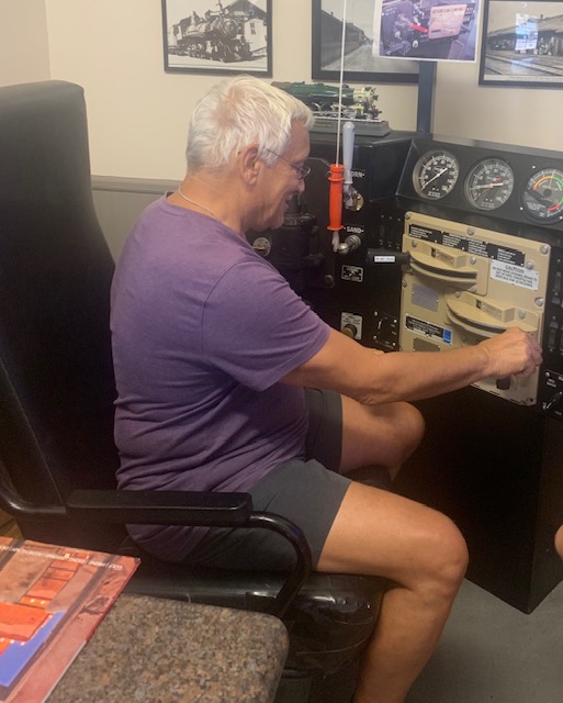
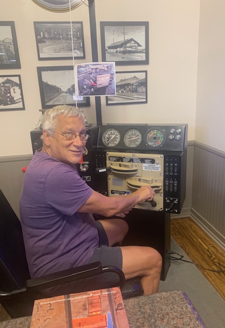
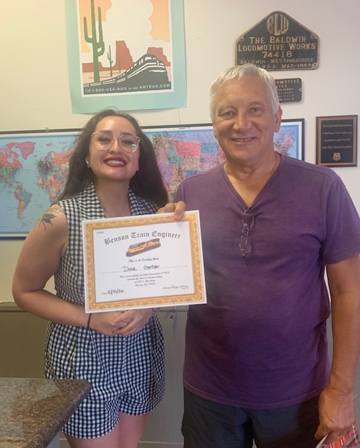
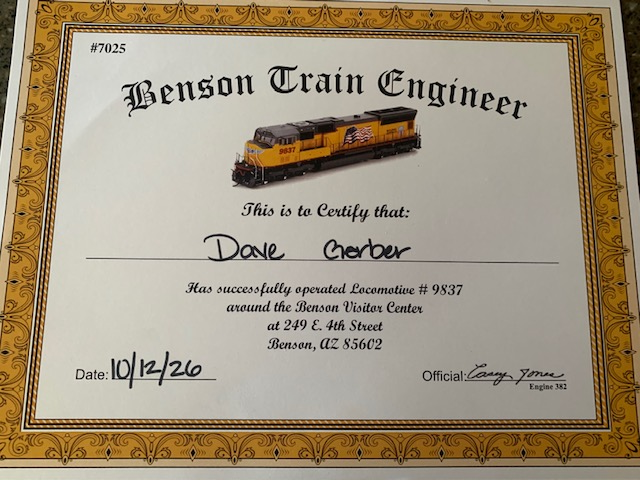
Dave was asked if he wanted to drive the train, become an Engineer. He took the controls and with very little training, he was tearing down the train tracks.
Now that Dave is a Benson Train Engineer all he needs is a hat.
Good job Dave! The Visitor Center is still where the train stops to let off and pick up passengers. It use to also so sell tickets but it doesn’t any longer.
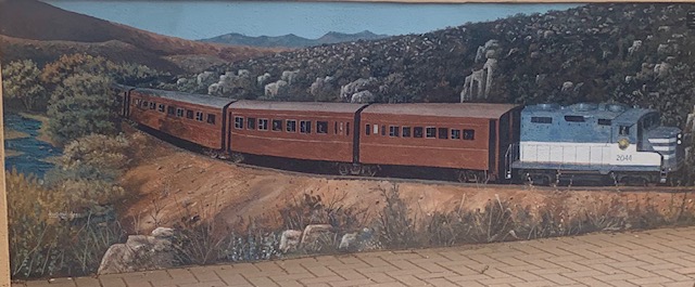
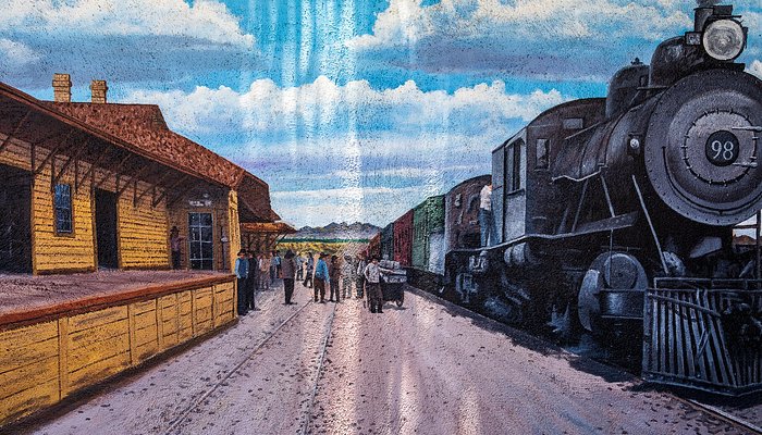
One of the great murals in Benson.
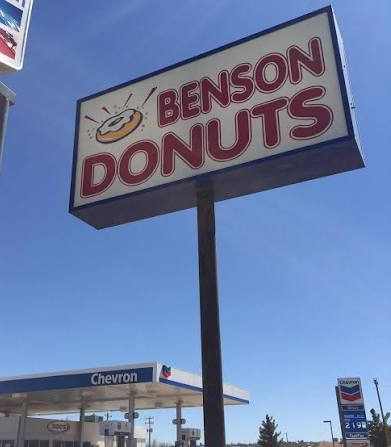
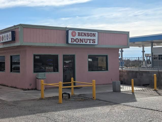
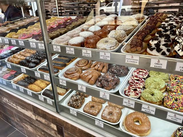
Benson Donuts is a definite staple in this community serving delicious donuts from 5:30 in the morning till 5:00 at night. It’s a little pink donut shop that offers a “sweet experience” with Muy Chav, every day of the week for the last two decades. She’s been in the donut business for over forty years, first in California and then here in Benson. She definitely knows to make all kinds of good stuff!
They were really good! I would compare them to Paula’s Donuts in Buffalo, NY, but there not as big.
We’ve been having some lazy days here and there, just doing normal daily activities. It has been nice not hurrying from one site to another, one adventure to another to another just for a bit.
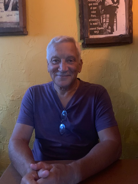
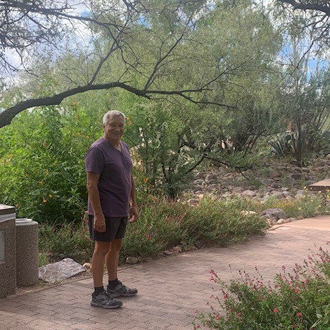
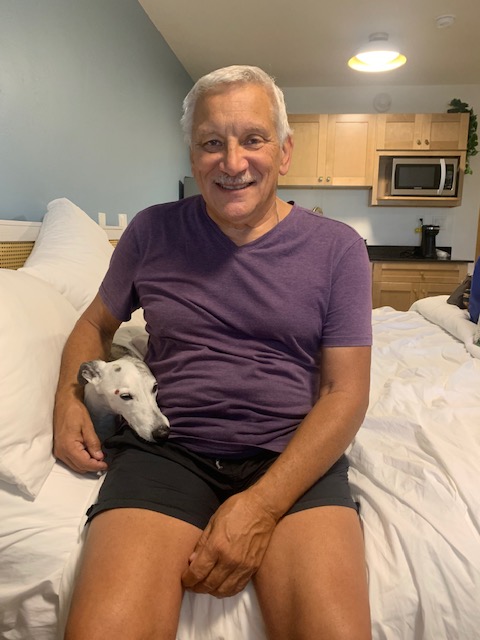
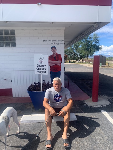
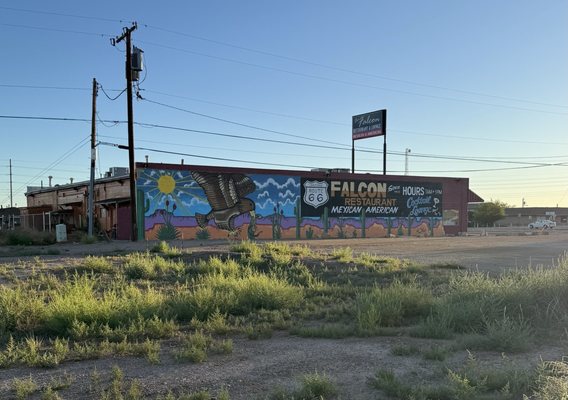
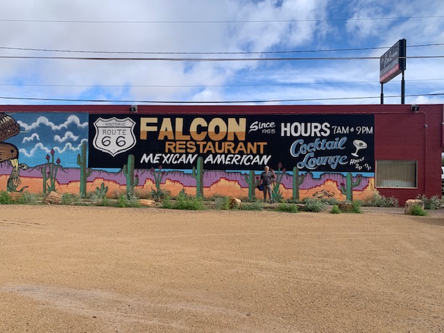
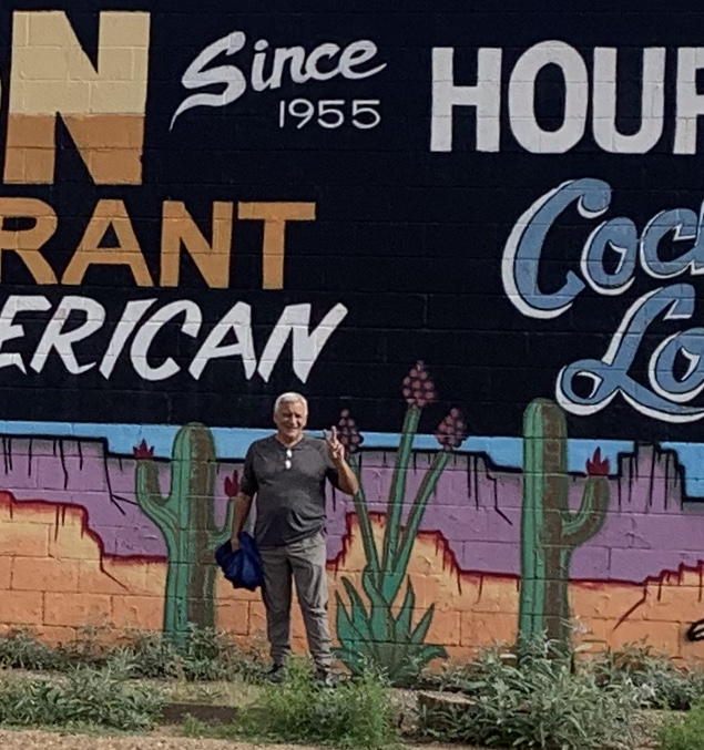
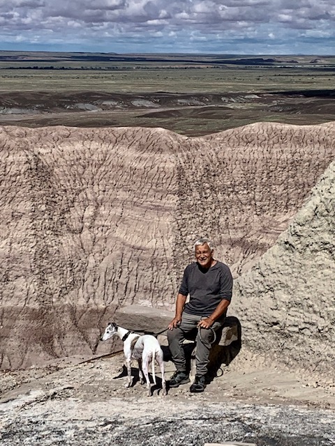
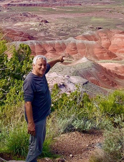
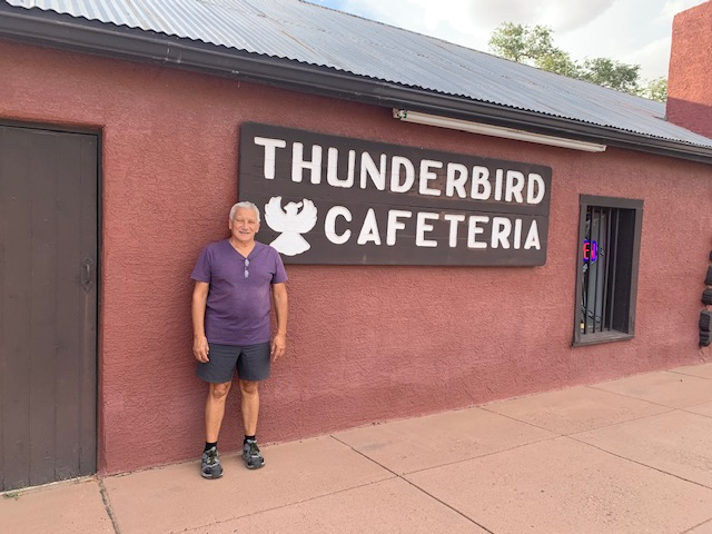
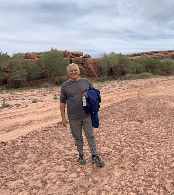
There’s a good-looking man standing by the restaurant.
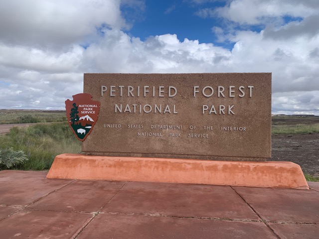
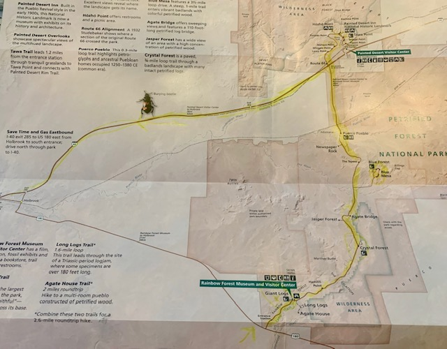
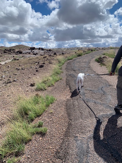
I picked him up and we headed to the Petrified Forest National Park.
\
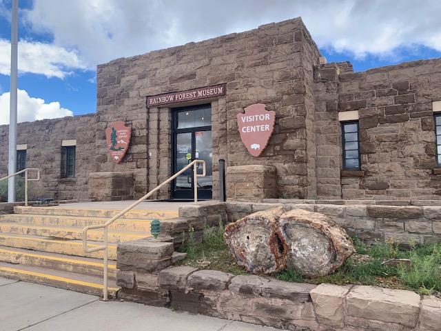
Our first stop was the Visitor Center.
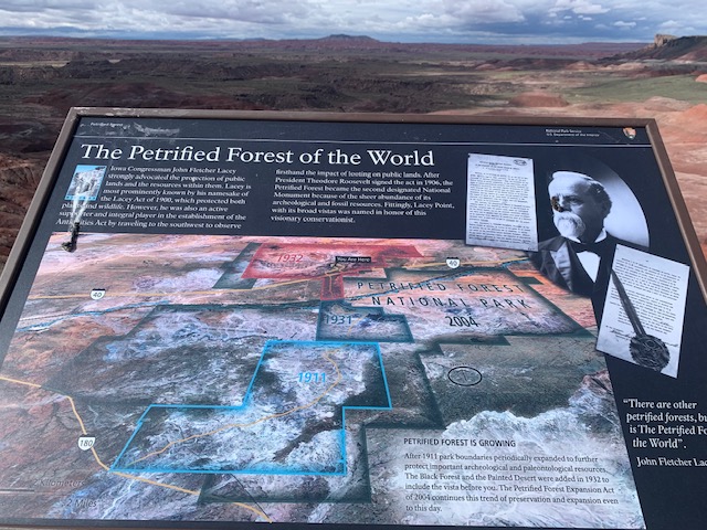
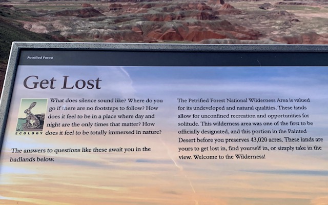
Theodore Roosevelt created Petrified Forest National Monument on December 8, 1906. Petrified Forest was designated as a national park on December 9, 1962. The park boundary encloses 221,390 acres, with legislation in 2004 more than doubling the authorized size of the park. It has hundreds of species of plants and animals in the park and over 13,000 years of human history can be found in the park, including over 800 archeological and historic sites.
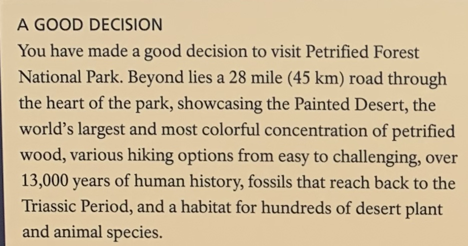
Petrified Forest National Forest is best known for its ancient trees that have crystallized over 225 million years into rainbow colors. The park also features fossils from huge 18-foot unusual creations known as Phytosaurs, as well as remnants from 13,000 years of human history, including the remains of villages, tools, and grinding stones. A 28-mile road runs through the park, offering a number of short hiking trails into the diverse landscape of wild grasslands and Painted Desert vistas and colorful badlands.
Petrified Forest is one of the most continuous sections of Triassic-aged rocks anywhere in the world.
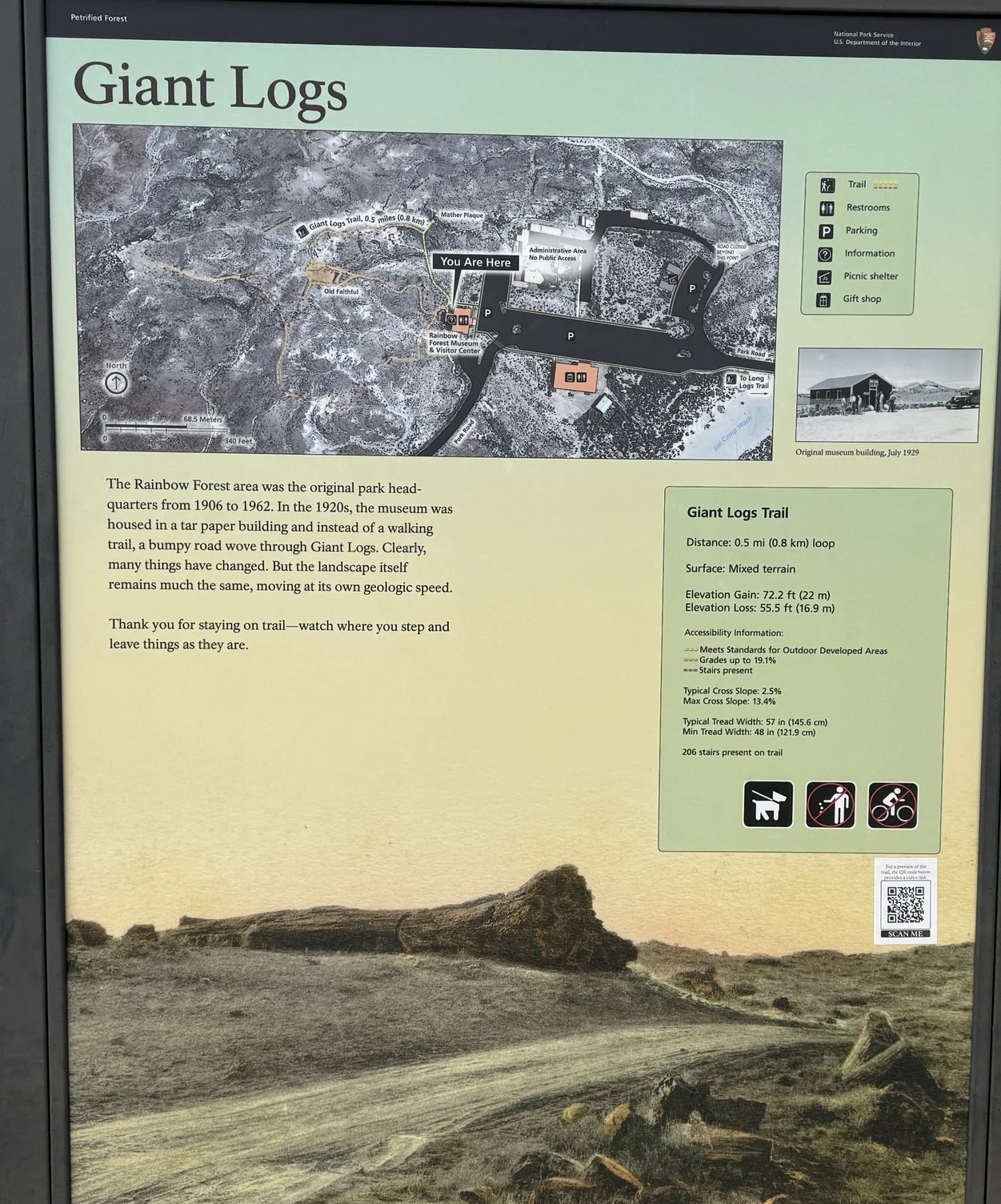
Our first sop in the park was Giant Logs.
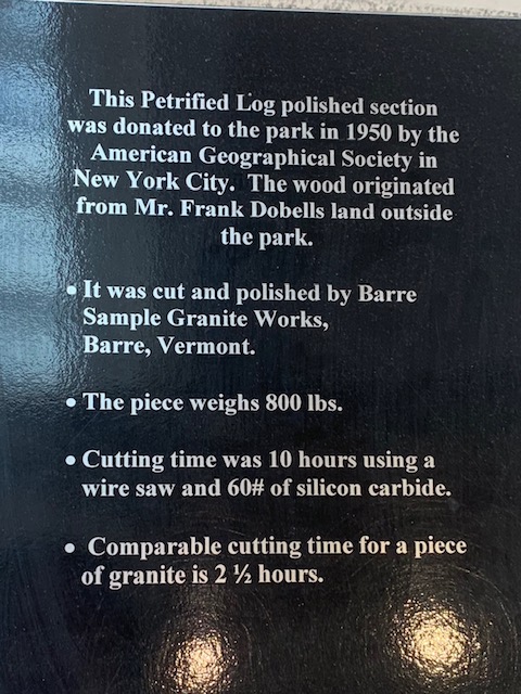
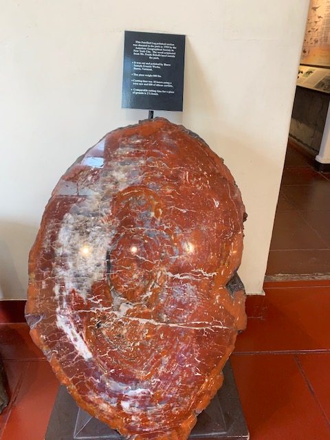
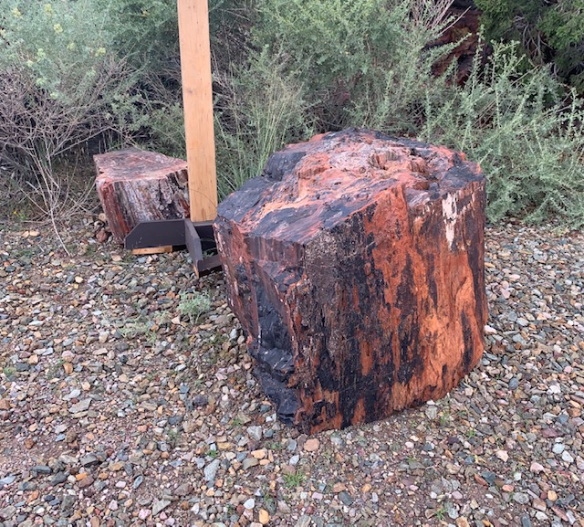
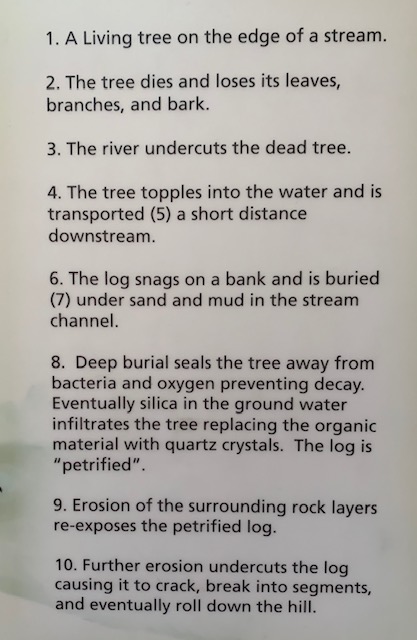
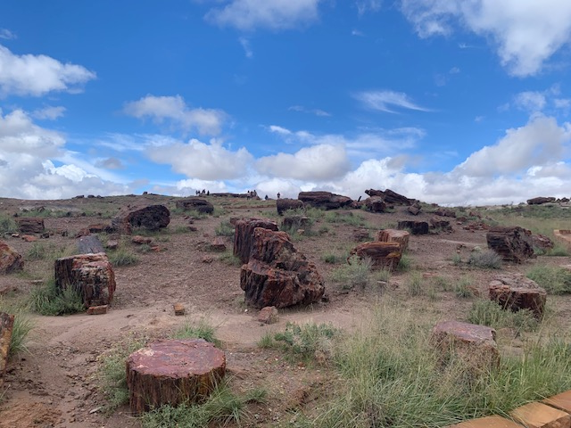
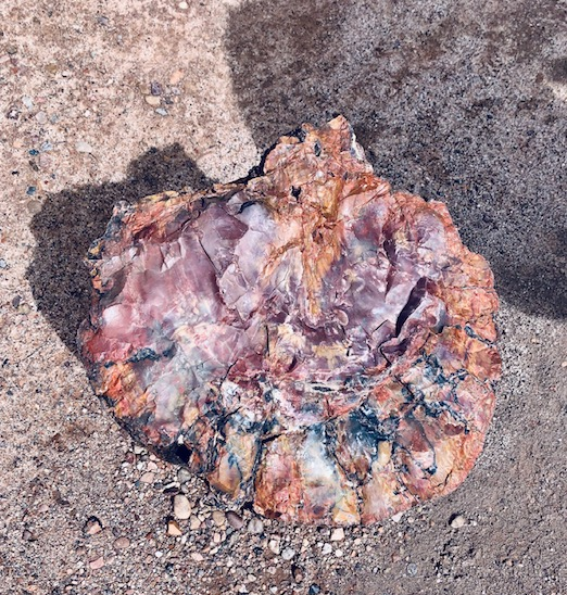
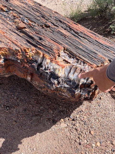
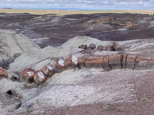
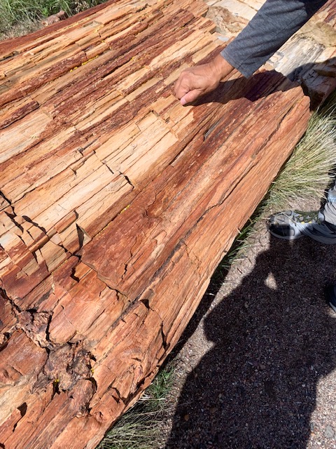
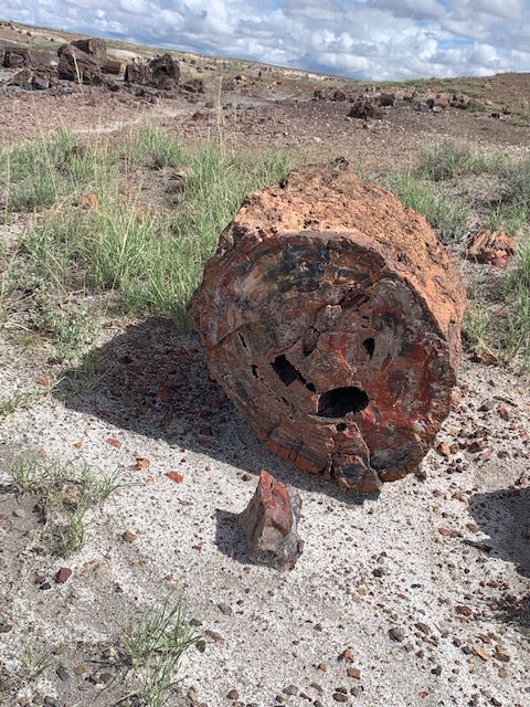
When the trees died, they washed into an ancient river system and formed log jams, buried sediment. Minerals, including silica dissolved from volcanic ash, absorbed into the porous wood over hundreds and thousands of years crystallized within the cellular structure, replacing the organic material as it broke down over time. If there were larger spaces such as a hollow or crack in the logs, crystals of clear quartz, purple amethyst, yellow citrine, and smoky quartz formed.
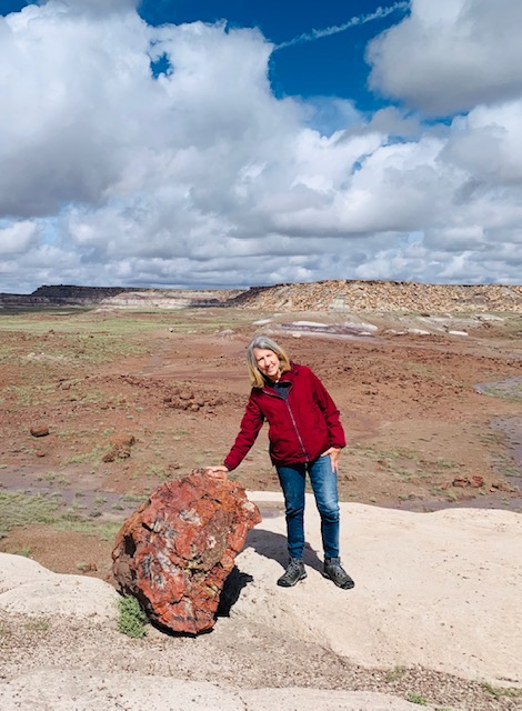
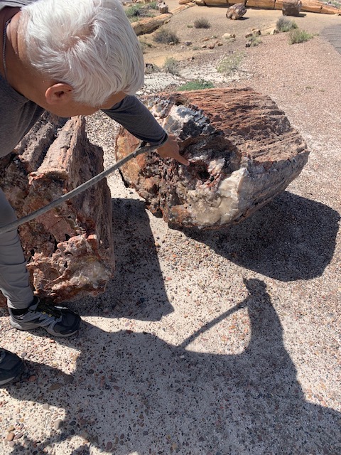
Dave is showing the petrified area.
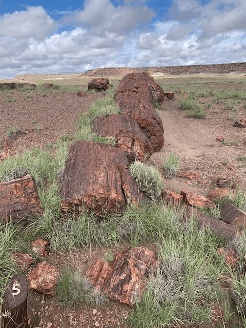
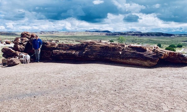
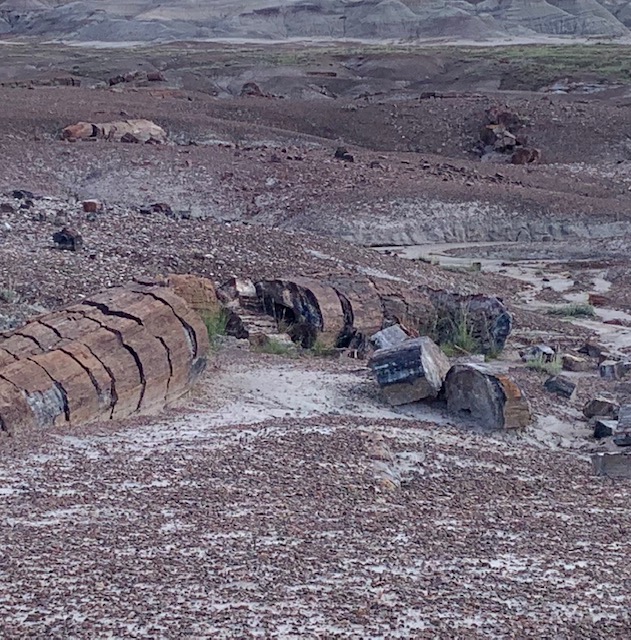
Giant Logs area features some of the largest and most colorful logs in the park.
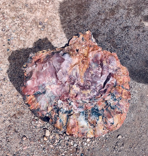
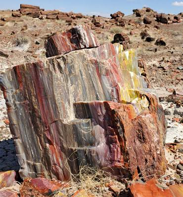
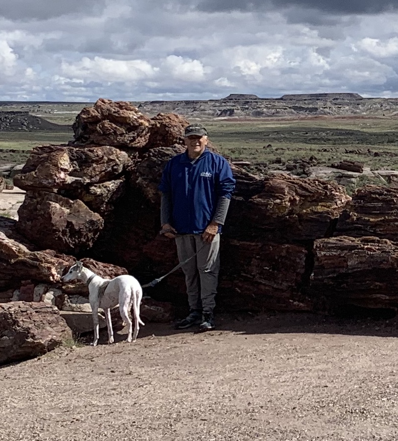
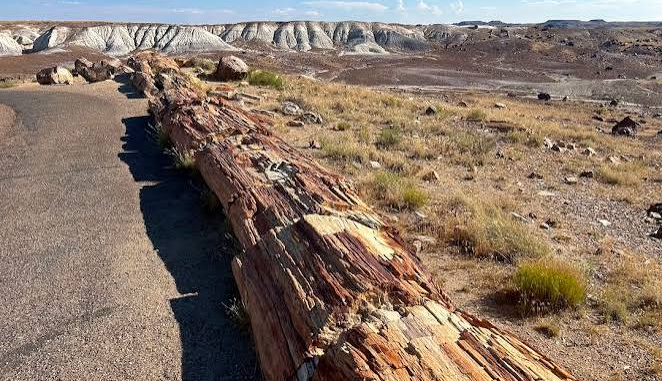
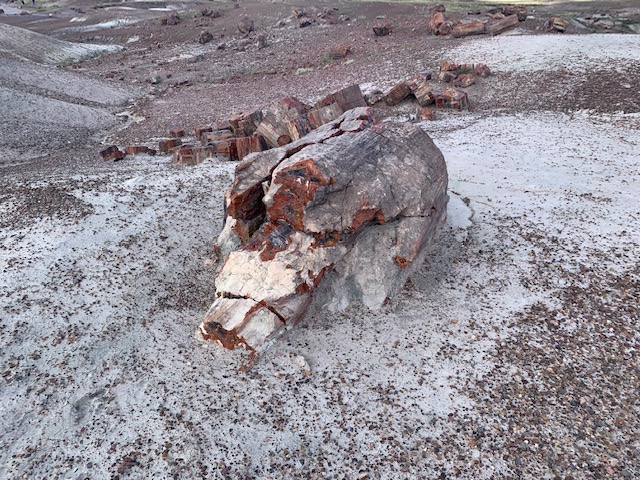
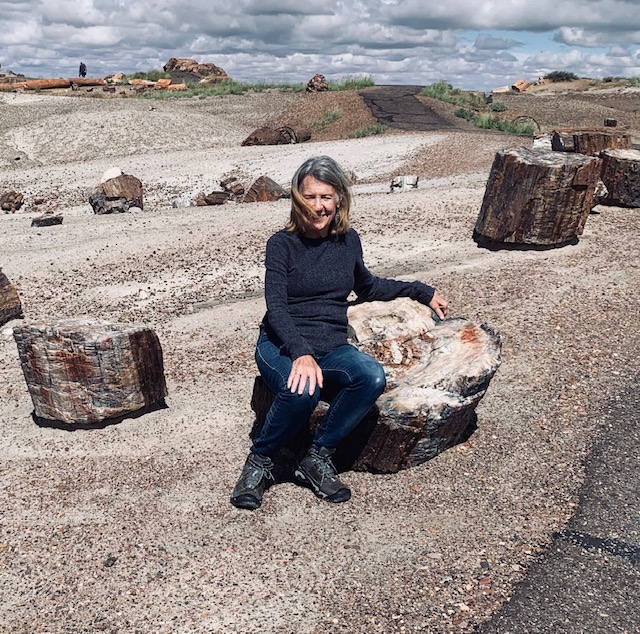
The tree’s look like they fell recently, someone used a chainsaw to cut them up. But they fell down and just cracked, but they are hard as stone. The colors were remarkable, the pictures don’t do them justice.
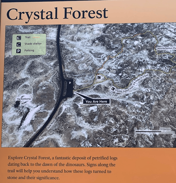
Driving over to the Crystal Forest
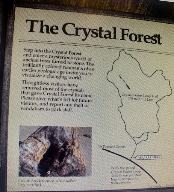
Crystal Forest area is named for the presence of beautiful crystals that can be found in the petrified logs.
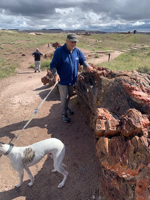
Dave knocking on the wood to show how hard it was.
We headed over to Agate Bridge
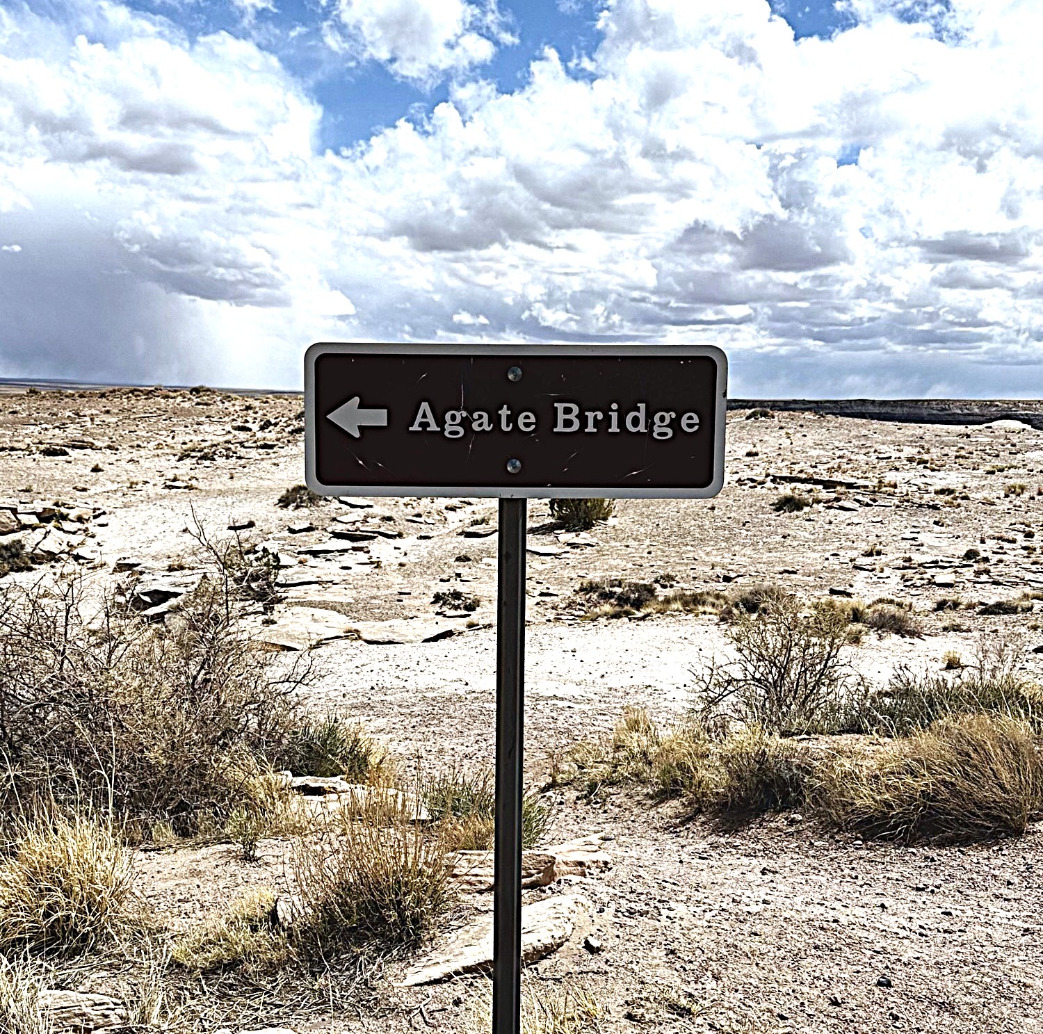
We’re now at Agate Bridge.
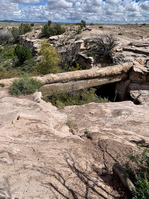
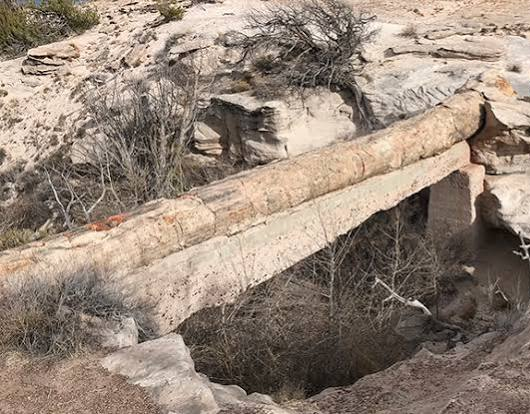
Agate Bridge, original called Natural Bridge, is a partially exposed petrified log spanning a gully at Agate Mesa, forming a “bridge”. This landmark has long been one of the most popular attractions in Petrified Forest since the beginning and in the early history of the park many visitors had their picture taken while standing on the “bridge”. Fear of the collapse of this landmark by the railroad—it was a major attraction—led to masonry pillars being constructed underneath is April of 1903, later followed by concrete in 1911. These were replaced by concrete beam in 1917 at the cost of $1700, paid for by the government and installed by the railroad. The log is about 100’ in length and 4’ in diameter at its base. It spans 40’ across the chasm and is 16’ above the canyon floor. In the late 1800s the paleobotanist Lester Ward proclaimed Agate Bridge to be the “most noted single petrified log in the world.”
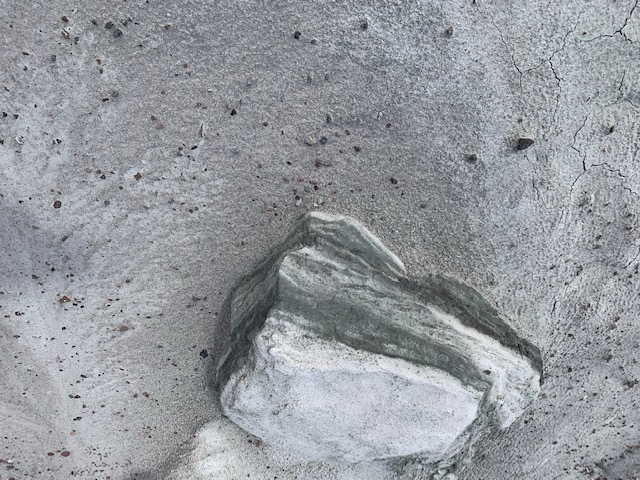
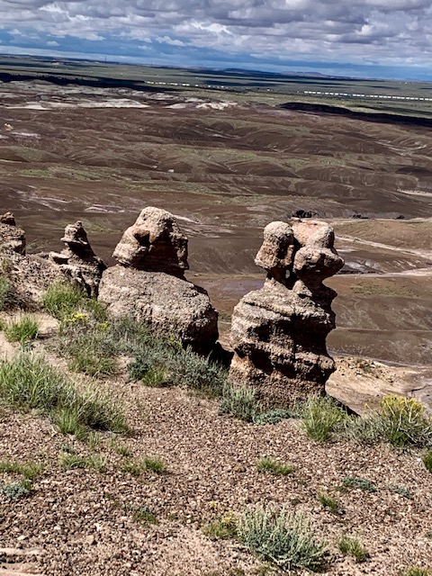
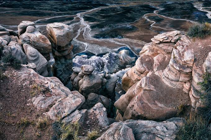
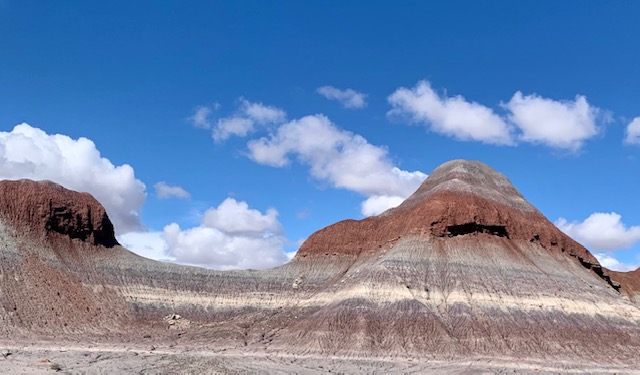
Neat rock formations in the park.
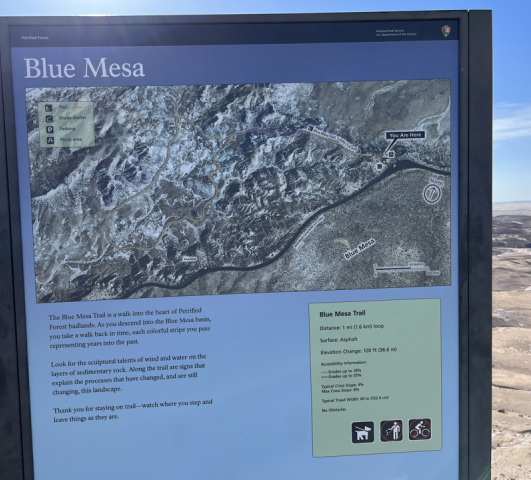
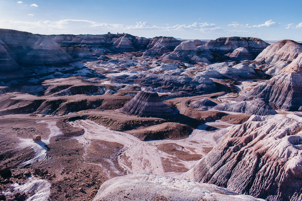
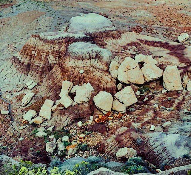
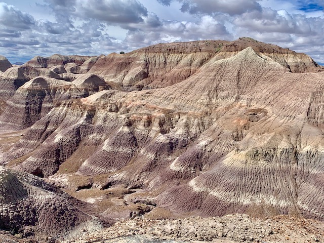
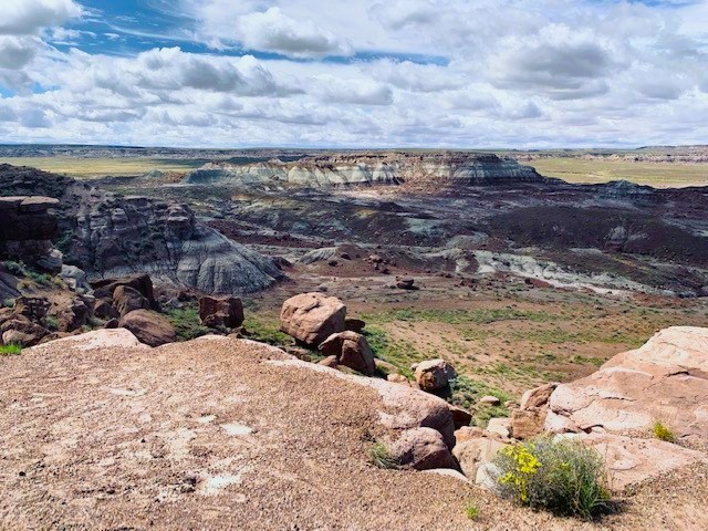
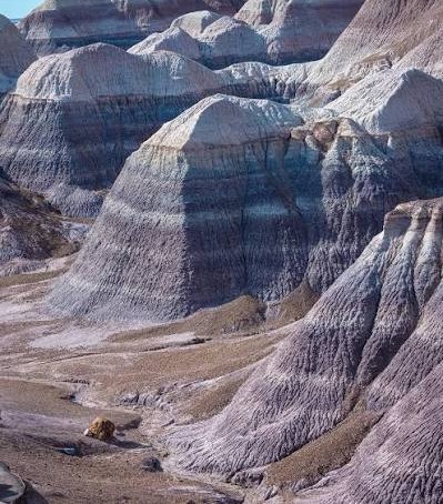
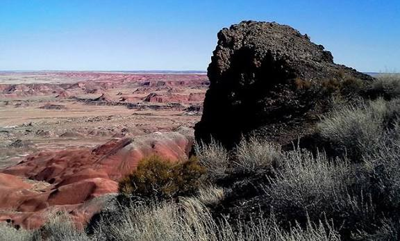
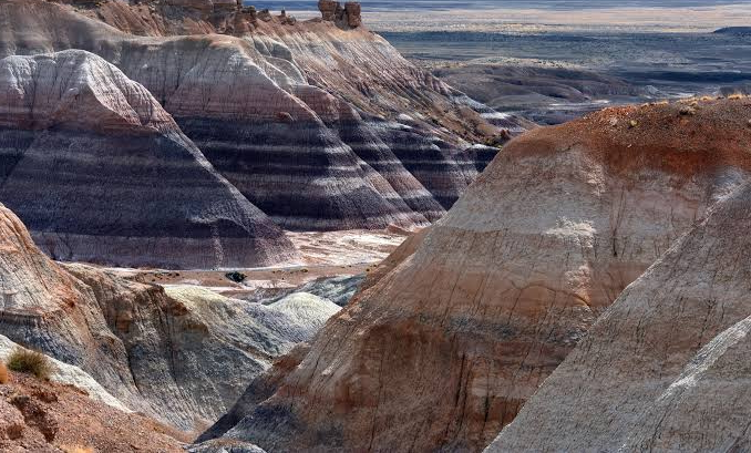
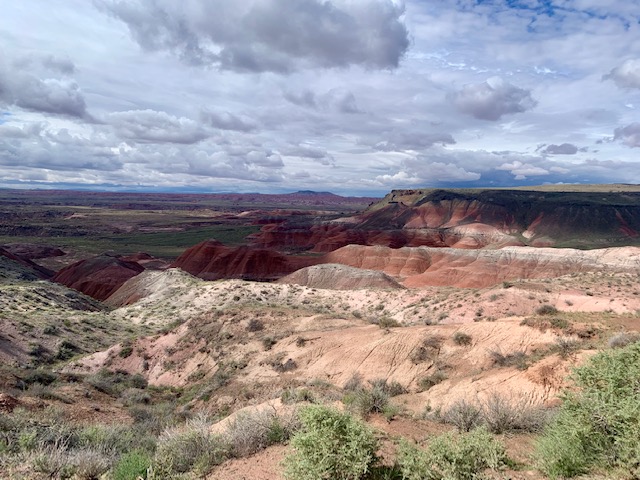
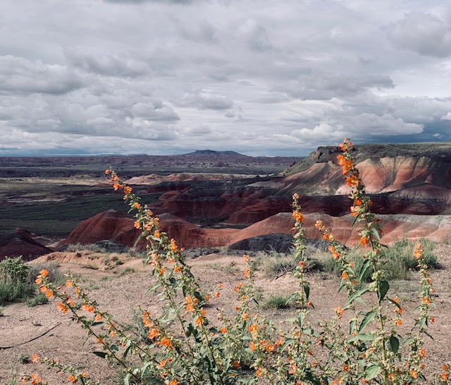
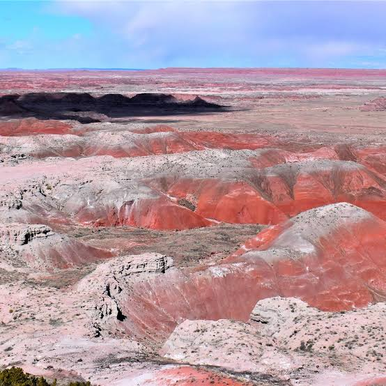
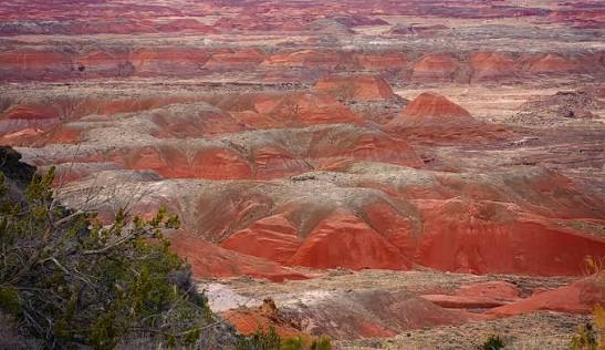
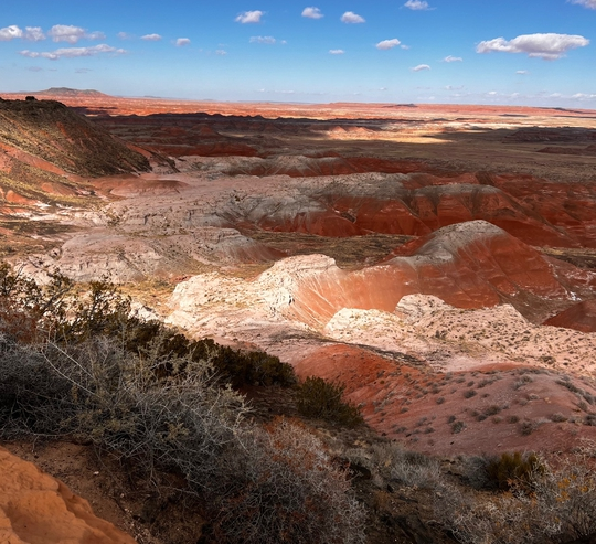
A vibrant badlands region is also located inside the park. So we not only got to see Petrified wood but a Painted Desert too! The Blue Mesa hills display banded layers of blue, purple, gray, white, and peach mudstone. The clay and sandstone layers belong to the Late Triassic Chinle Formation. They formed roughly 220 to 225 million years ago. Colorful logs and fragments are scattered across the valley floor.
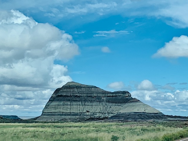
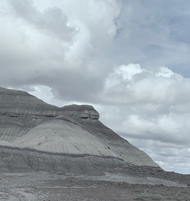
These hills are awesome, when you look at them they look blue sometimes . . .but with the sun hitting them and clouds sometimes they look more purple and pink.
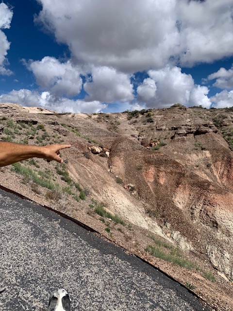
Dave is pointing to some petrified logs.
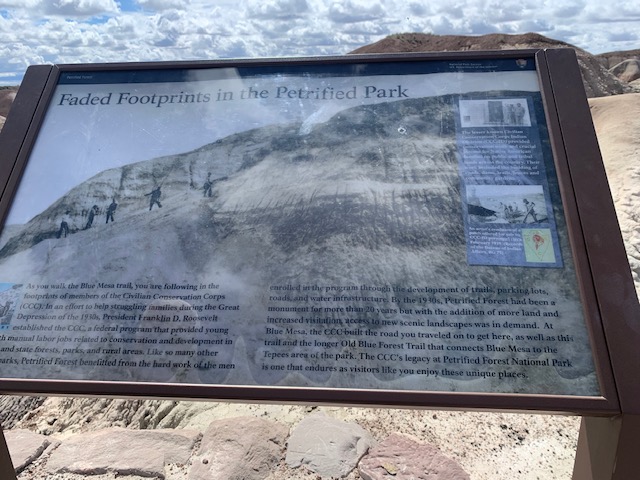
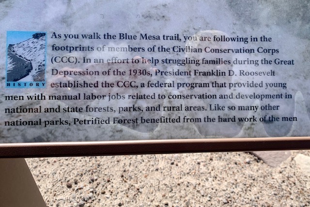
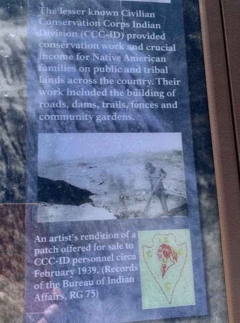
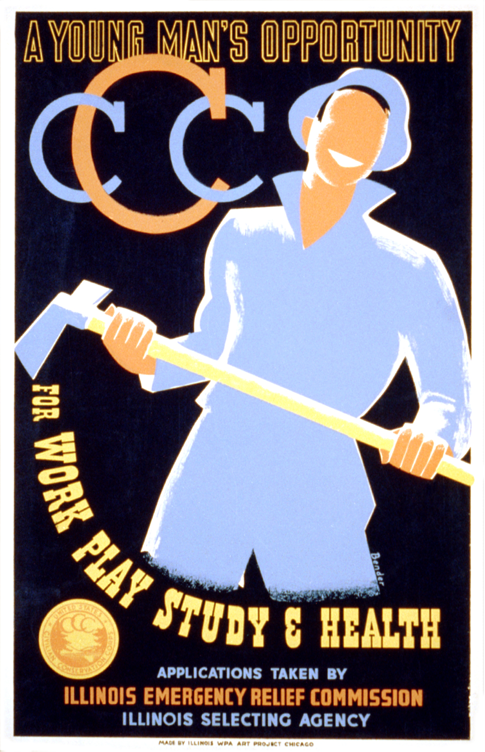
Yet another park we’ve been to that the CCC did an incredible job.
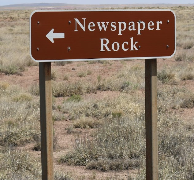
We’re heading to Newspaper Rock and now the dessert hills looks more orange.
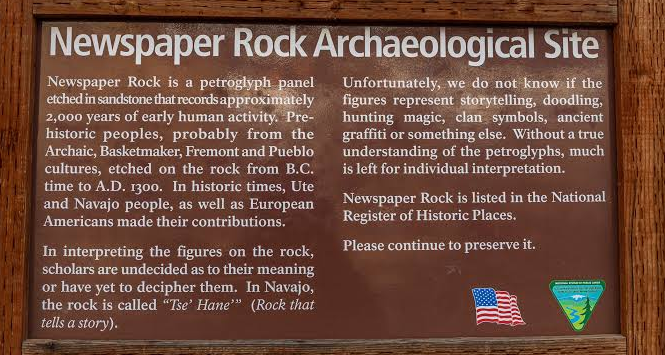
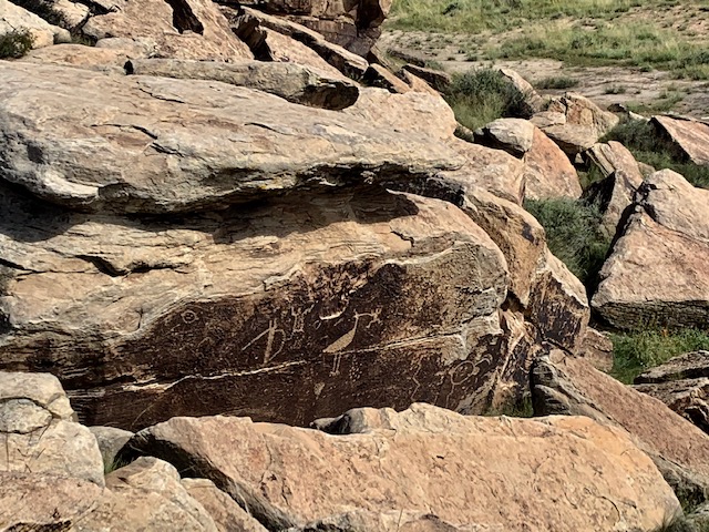
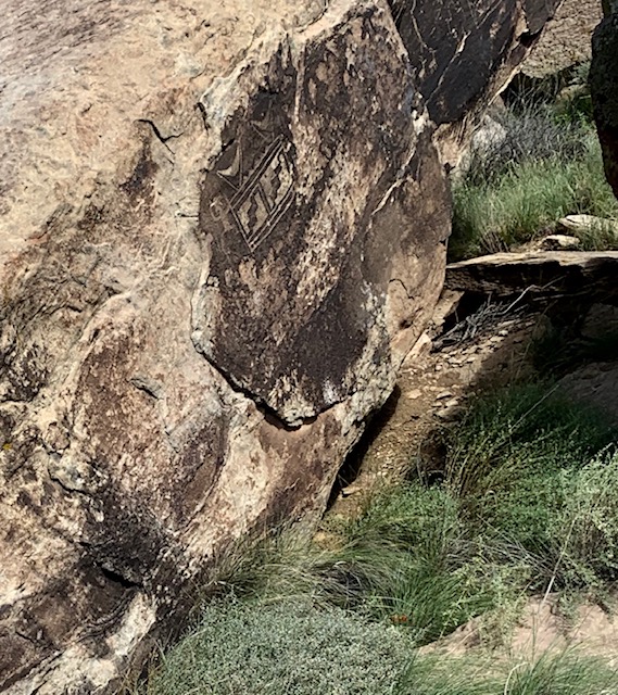
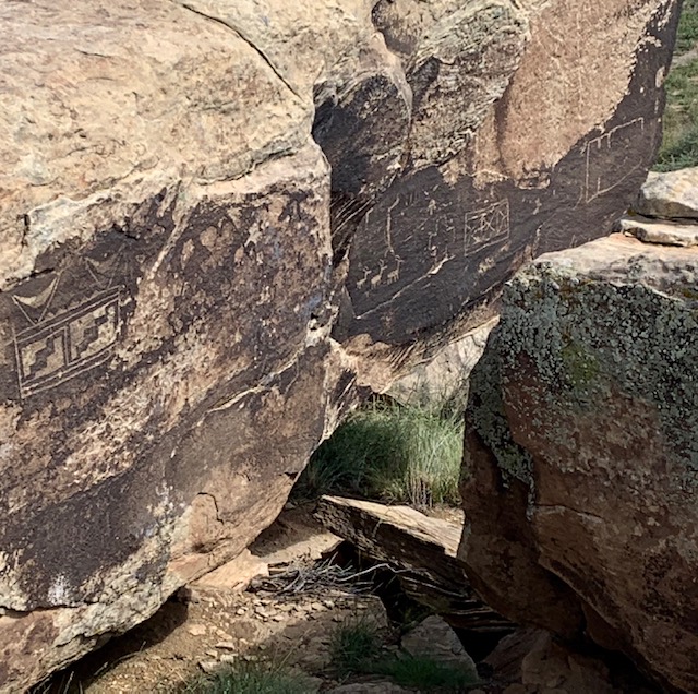
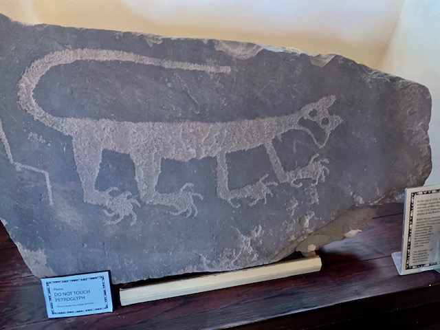
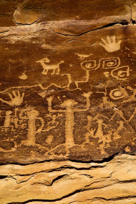
The archeological site known as Newspaper Rock is neither a newspaper nor a single rock. The site boasts over 650 petroglyphs covering a group of rockfaces within a small area. High concentrations of petroglyphs like this mark a place as hugely significant. Many generations of people saw these markings and contributed their own. The petroglyphs were created by ancestral Puebloan people living, farming, and hunting along the Puerco River between 650 and 2,000 years ago.
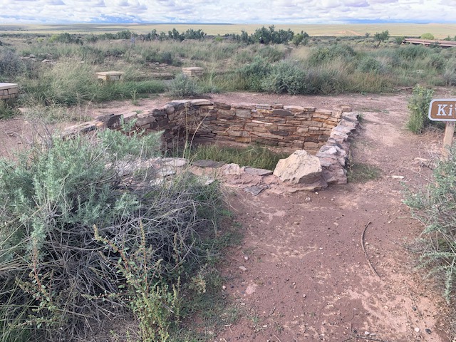
Look what we came upon a Kiva!
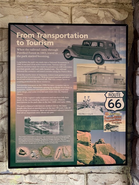
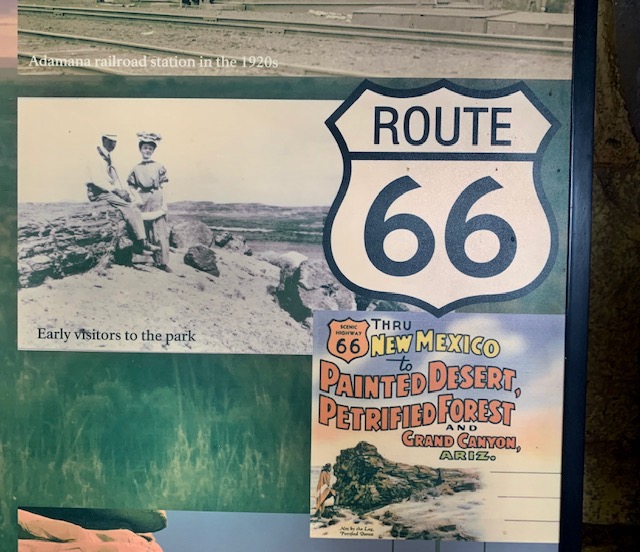
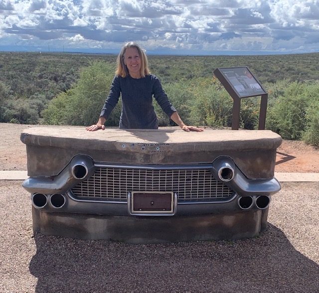
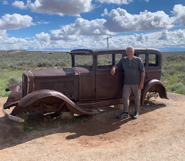
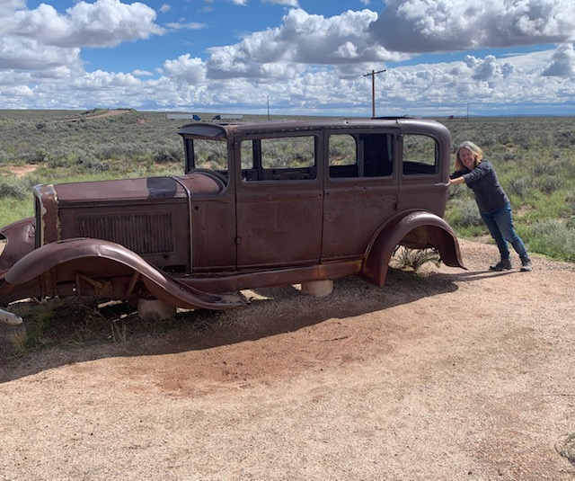
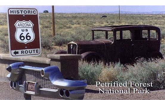
You can also get to the park by route 66. The Petrified Forest National park is the only national park on route 66, as the road crosses the northern part of the park. You can see the historic trace, a line of old telephone poles, and a rusted 1932 Studebaker placed on site to mark the path.
A fun stop on route 66
Our next stop would have been the Painted Desert Visitor Center but it was closed for remodeling.
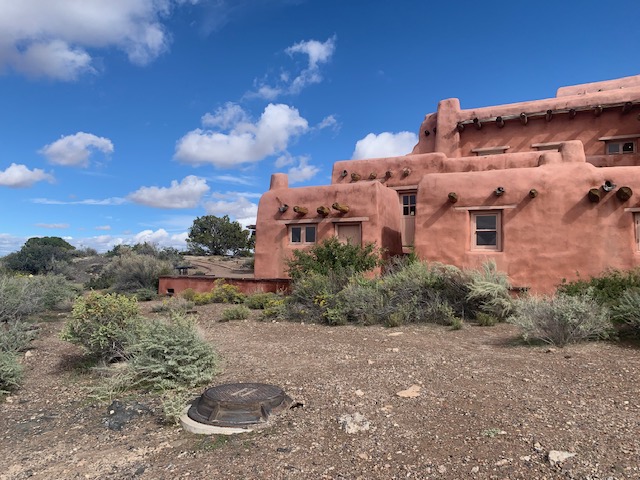
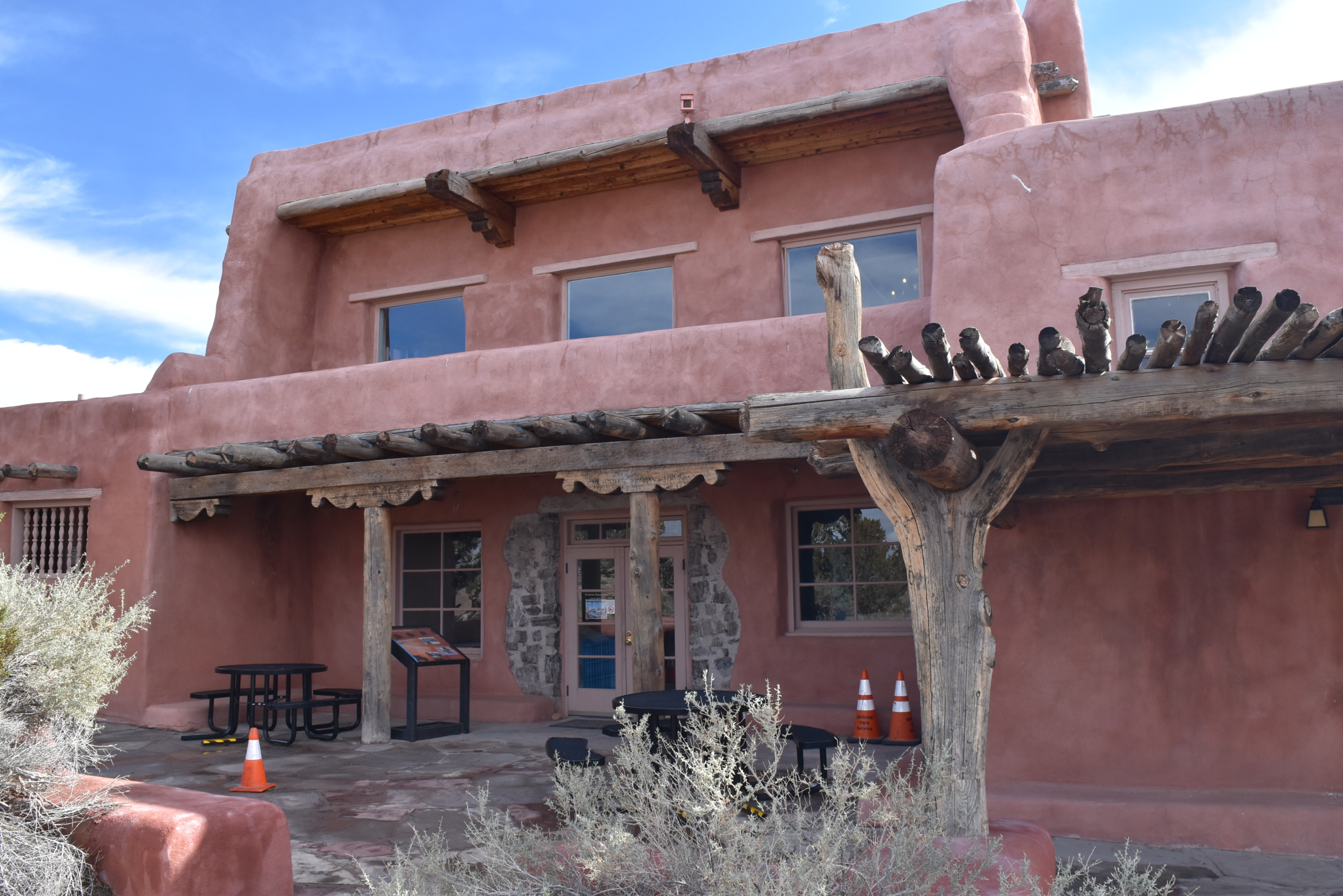
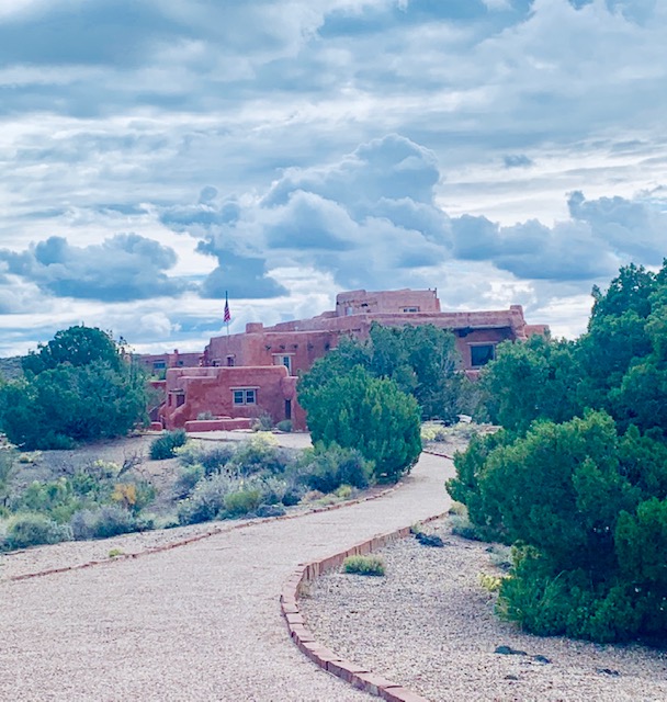
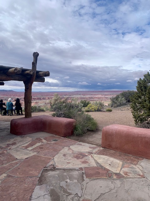
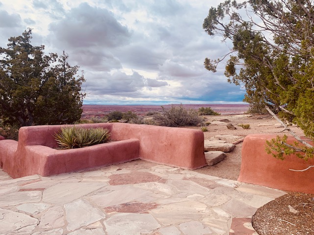
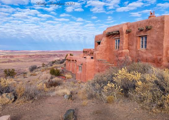
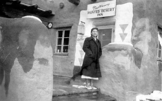
We came upon “The Desert Inn” sitting inside the painted desert.
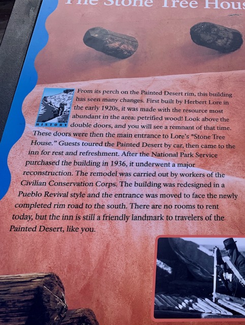
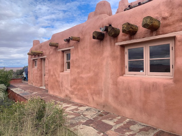
You can see the petrified wood above the door.
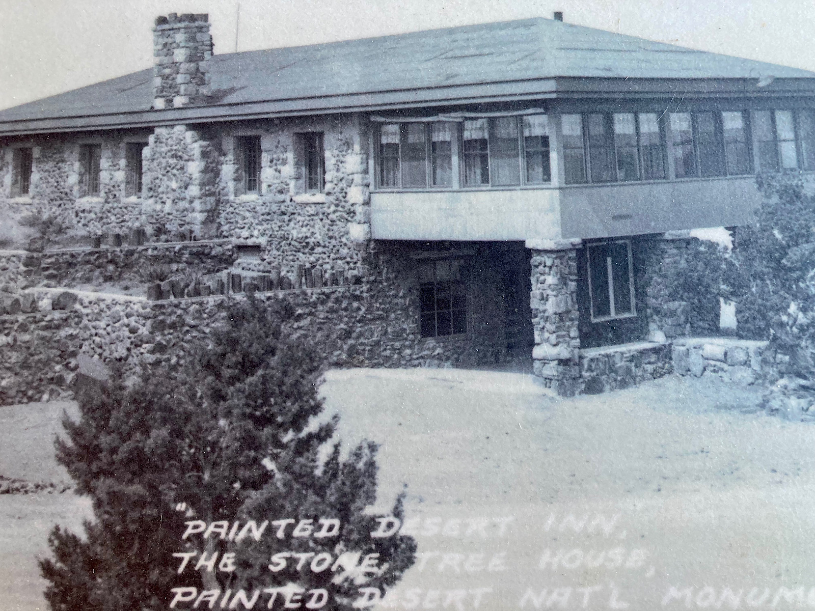
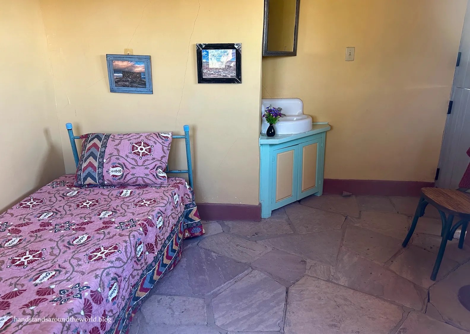
The original building was built around 1924 by Herbert David Lore as the “Stone Tree House,” it served as an isolated Route 66 retreat and trading post. Visitors could eat meals in the lunchroom, purchase American Indian arts and crafts, and enjoy a cool drink in the downstairs taproom. It also had six small rooms that were actually cubicles. They were available for two to four dollars per night. They also gave two-hour motor car tours through the Black Forest in the Painted Desert below the inn.
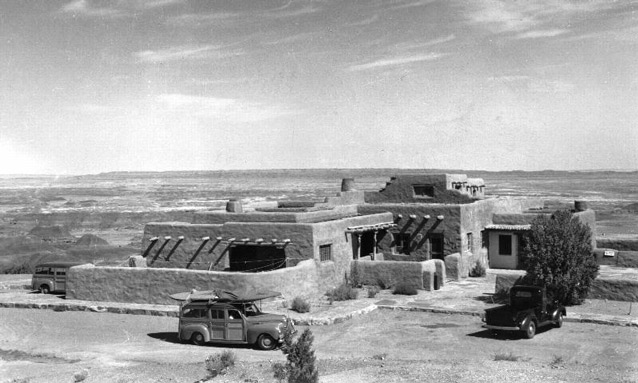
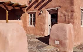
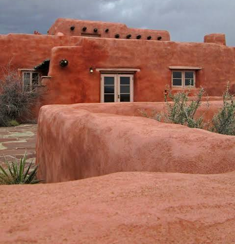
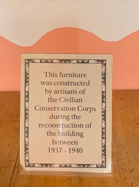
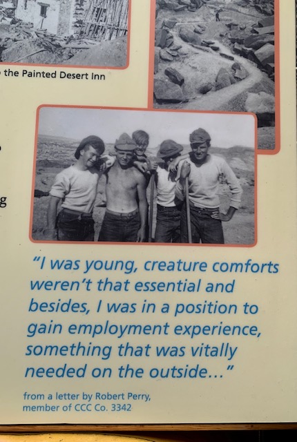
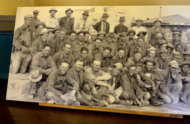
It was acquired by the National Park Service in 1936 and rebuilt from 1937 to 1940 by the Civilian Conservation Corps (CCC) into its current Pueblo Revival design.
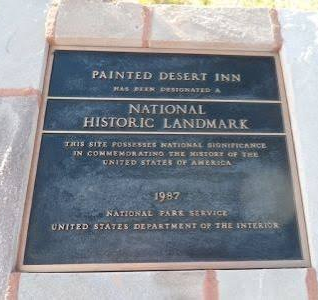
It closed in 1963 due to shifting bentonite clay foundations, and it was going to be torn down in the 1970s, but the public saved it, and in 1987 it became a National Historic Landmark.
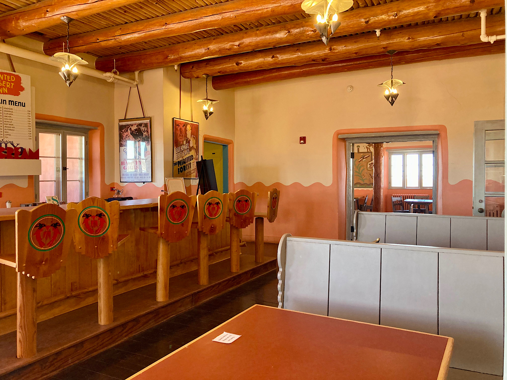
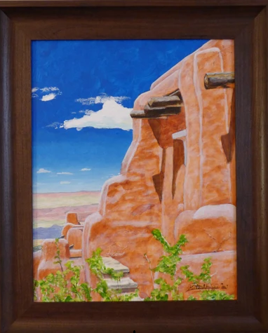
It is a historic Pueblo Revival–style landmark perched on Kachina Point and operates as a museum featuring it’s incredible panoramic desert views, and a seasonal ice cream parlor and ice cream paarlor.
It was an amazing to walk around and check out the Inn.
It was great looking about outside and seeing the nifty building and all the beautiful scenery you see from every angel.
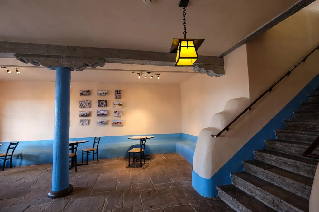
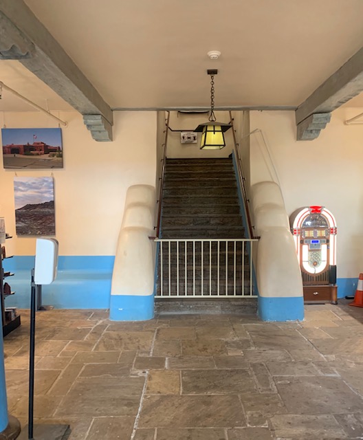
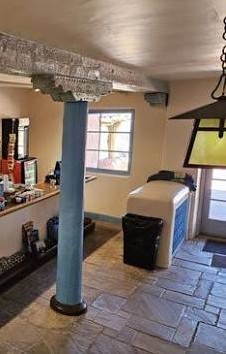
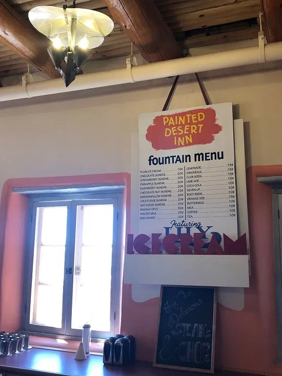
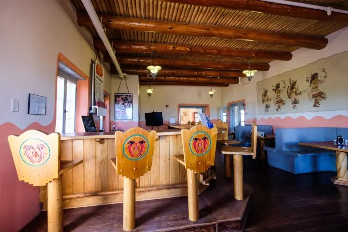
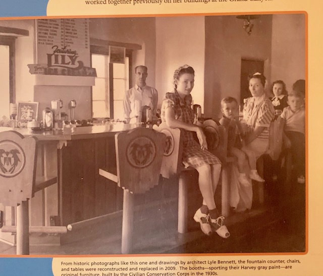
The ice cream parlor is in the basement. We were in this charming Ice Cream Parlor and I didn’t even get an ice cream. I was to busy checking the place over.
Besides ice cream it serves coffee and snacks alongside some museum exhibits.
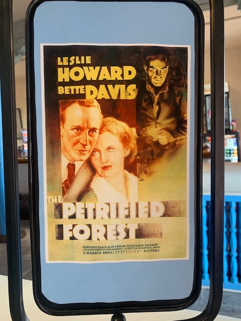
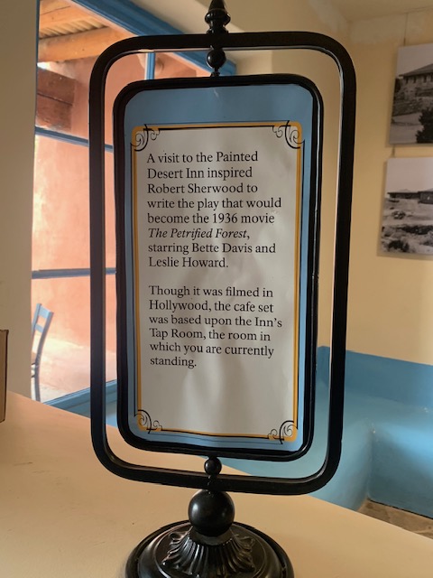
We’ll have to check out this movie.
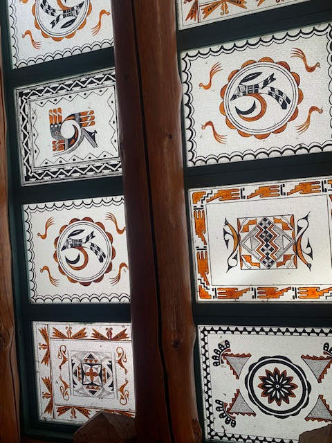
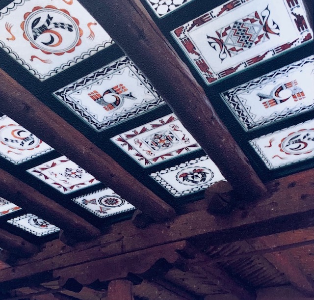
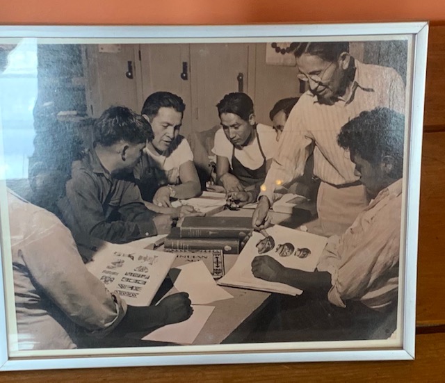
There is a gift shop in the Desert Inn, It features a stain glass panel with Navajo patterns all made by the CCC guys. It’s really nice.
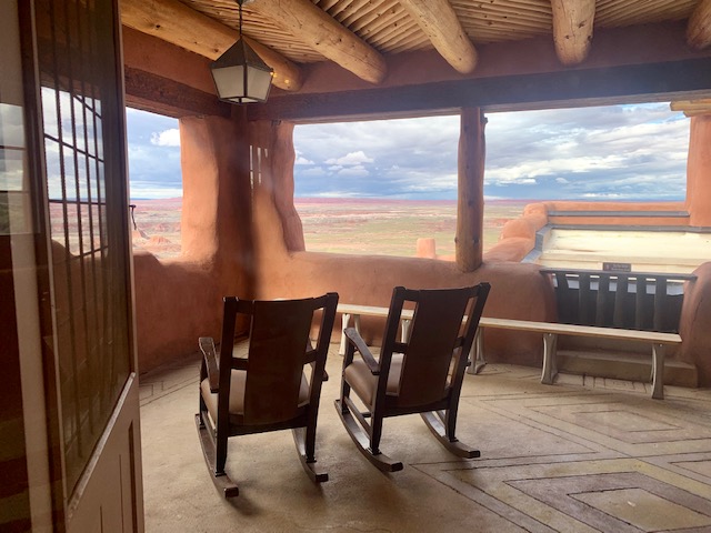
Off the gift shop was a wonderful sitting area. I’m sure this is were the guests sat watching the world go by and were being take care of by the staff.
The Building is no longer open as an inn for overnight guests or as a restaurant, but it was great going in and checking it all out.
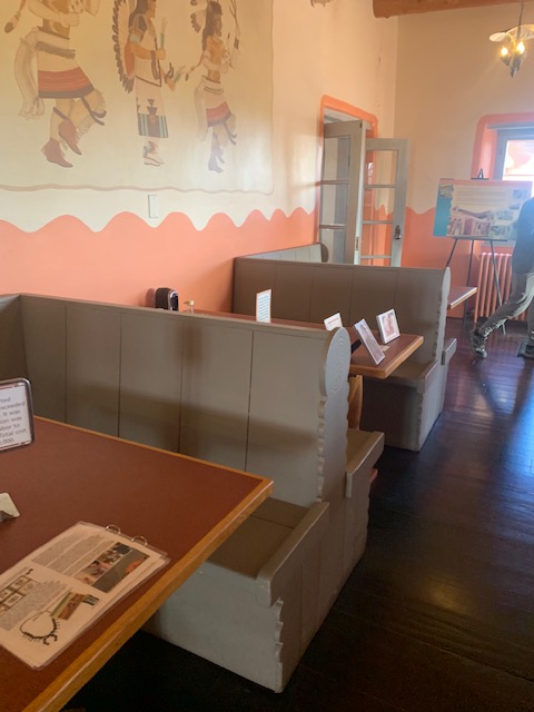
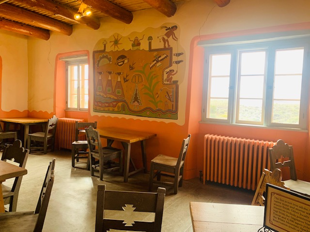
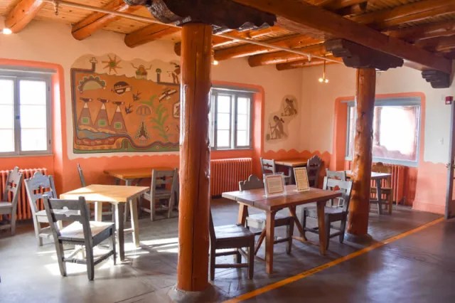
There is a restored lunch room and dining area, now that is part of the museum. This was the lunch area where they originally served ice cream.
The dinning room area.
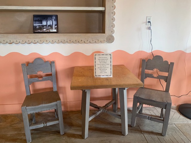
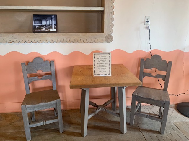
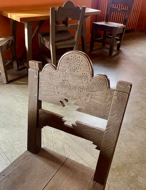
The CCC build the furniture as well.
The work of the CCC gave the Painted Desert Inn a new life. The inn reopened for business of July 4, 1940, under the management of Edward McGrath for Standard Concessions. The Painted Desert Inn supplied Route 66 travelers with meals, souvenirs, and lodging. It was popular with local residents as a place for meetings and special events.
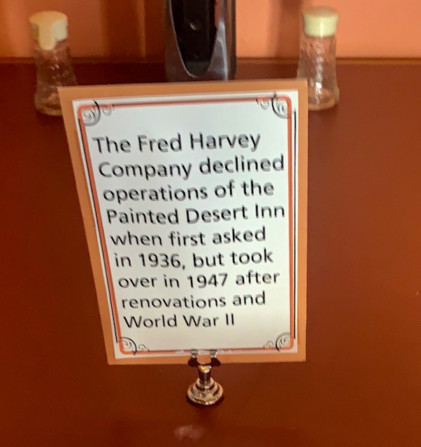
Fred Harvey is back with his Harvey girls and Mary Colter. They redesigned the inn in 1947 with some murals and such.
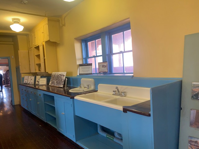
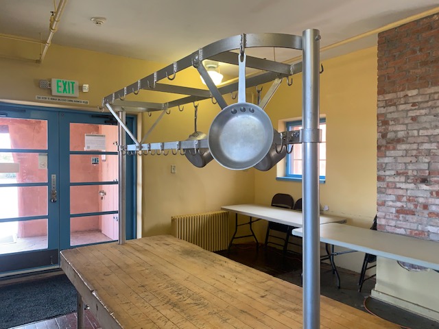
The kitchen area
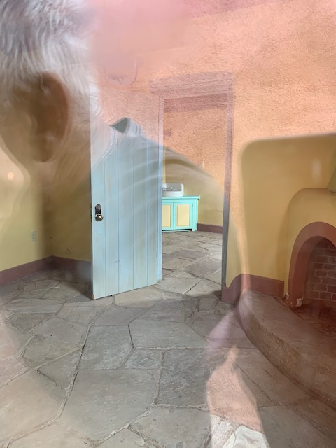
We’re checking out the bedroom area.
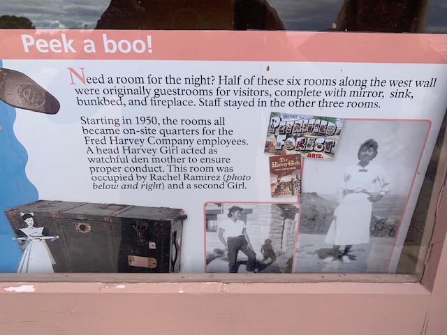
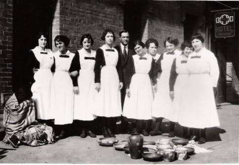
I had to find out a little bit more about “The Harvey Girls.” The Harvey Girls were a signature component of Harvey’s success and one of his most enduring legacies. Placing ads in Midwestern and Eastern publications, he solicited women between the ages of 18 and 30 to travel west and work as waitresses in his restaurants. Other qualifications included being unmarried and “of good character.” The “girls” signed yearlong contracts and lived next to or in the Harvey Houses, under the close supervision of a Harvey Girl with the longest tenure. If they left before the year was up—the most common reason for doing so was marriage—they forfeited a portion of their base pay.
It was a great way for women at that time to travel and be independent. Not only did these waitresses provide pleasant, efficient service, but in the early years of Harvey’s enterprise, at least, they were often the only single young women for miles around. That in itself would have been a draw, even if the food hadn’t been up to snuff.
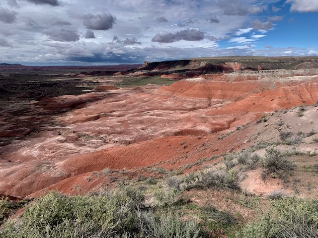
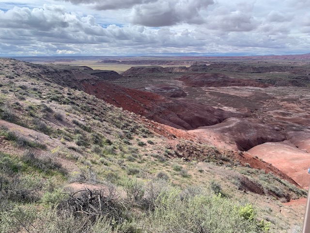
It was time to leave the park and take along some more incredible pictures of the Painted Desert. We had a grand day at this beautiful park.
If you get a chance to visit the Petrified Woods National Park/Painted Desert National Park, it’s has to be extra beautiful at sunrise and sunset.
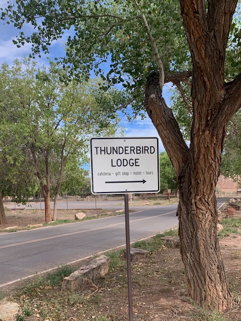
We left Thunderbird Lodge and were on our way to Ganado, AZ.
We went to check out a Trading Post there. I knew they existed long ago but I didn’t think there were any still standing and even open. A trading post, trading station, or trading house, also known as a factory in European and colonial contexts, is an establishment or settlement where goods and services could be traded.
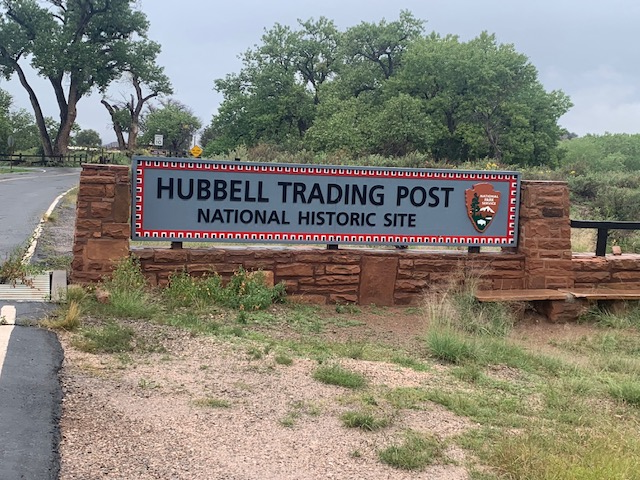
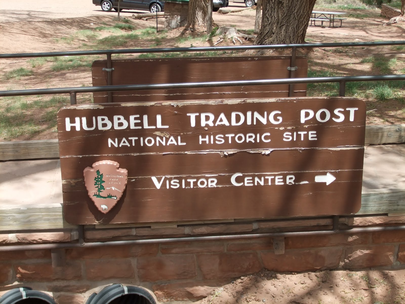
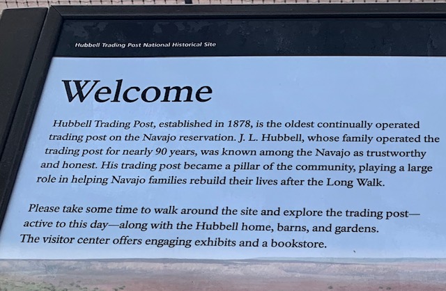
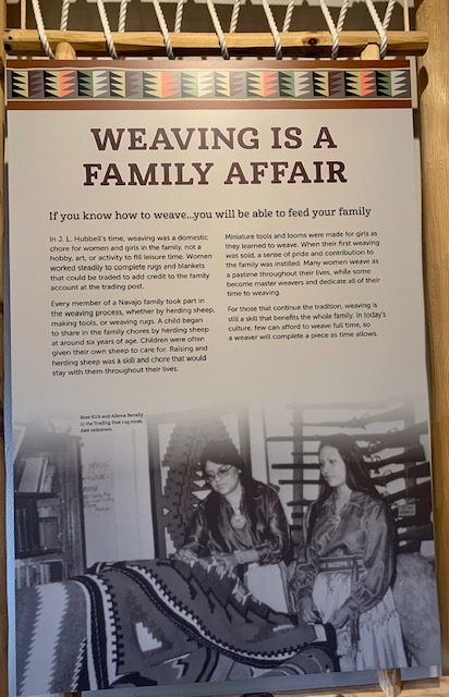
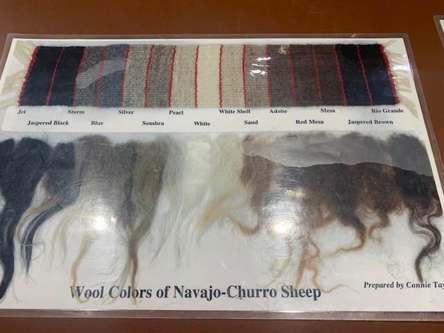
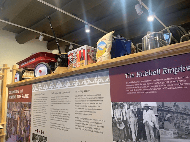
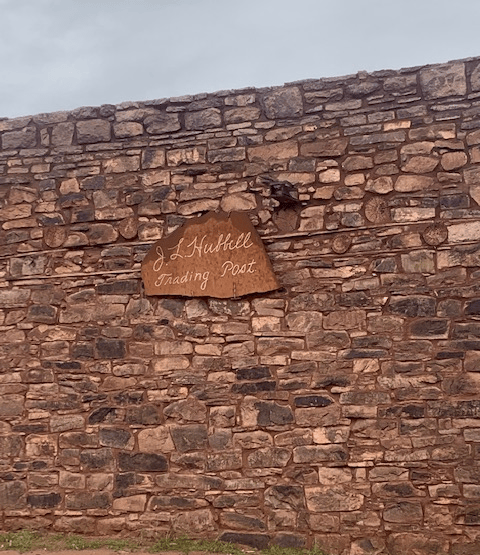
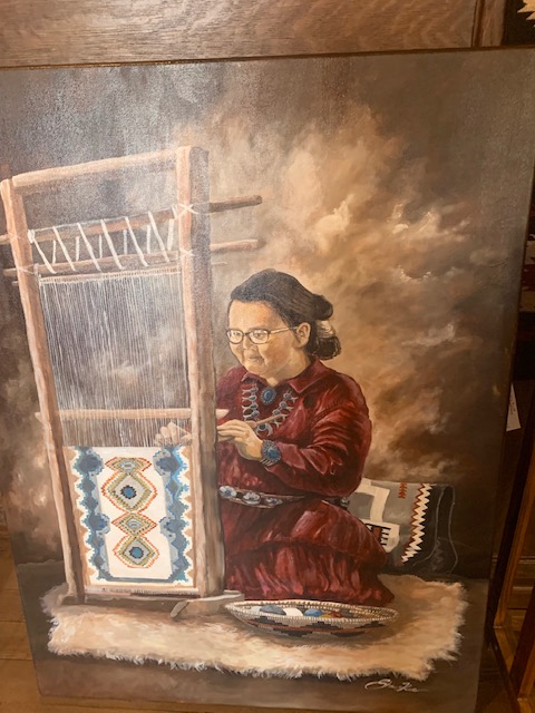
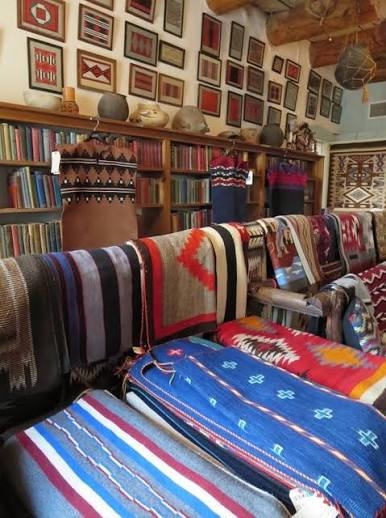
The Hubbell Trading Post National Historic Site and is the oldest continuously operating trading post in the Navajo Nation. It’s been operating since 1878, and it has been northeastern Arizona’s center of commerce and cultural exchange. You can still walk through the original trading post, browse authentic Navajo rugs and crafts.
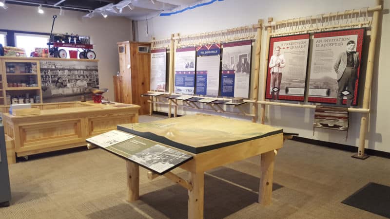
We went to the visitor center to find out more about it.
In the 1860s when the U.S. government’s forced the relocation of about 9,000 Navajos, and when they returned to Arizona in 1868, they no longer had their crops and livestock, so trading for goods, already a key component of the Navajo economy, became even more vital.
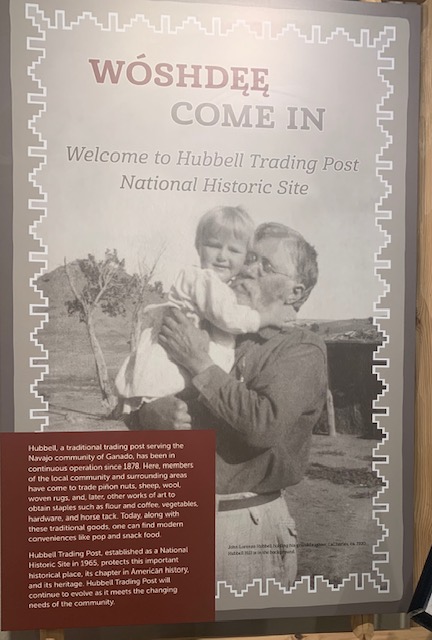
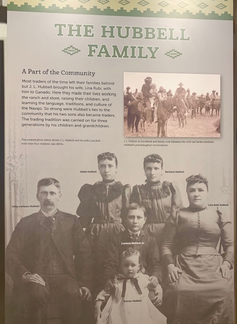
John Lorenzo Hubbell opened the Hubbell Trading Post in 1878. As a link between the Navajo Nation and the rest of the U.S., Hubbell supplied Navajos with many of the items to which they were introduced during their time in New Mexico, such as flour, sugar, canned goods and tobacco. Hubbell was 23 when he bought the property. He later married a Spanish woman named Lina Rubi, and they raised four children in the house they built at the site. Hubbell eventually created 30 trading posts in Arizona, New Mexico and California, and his descendants operated the original post until it was sold to the National Park Service in 1967. It’s now part of Hubbell Trading Post National Historic Site. The site includes nearby Hubbell Hill, where most of the original Hubbell family is buried.
Everyone came from far and near to this incredible place. The Hubbell family was accepted and loved by everyone. They even learned to speak the Indian’s language.
We left the visitor and headed to the Trading Post.
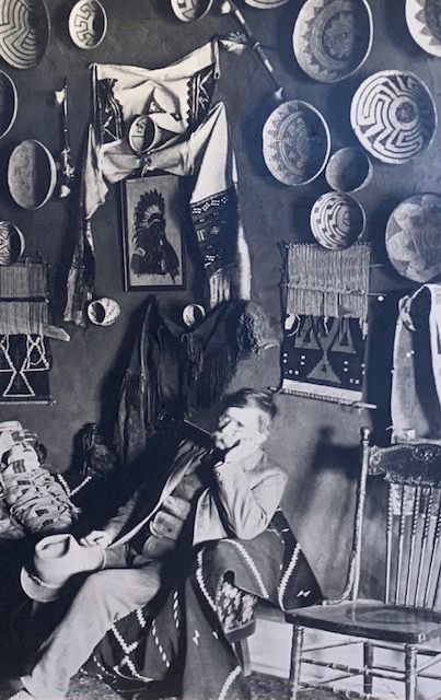
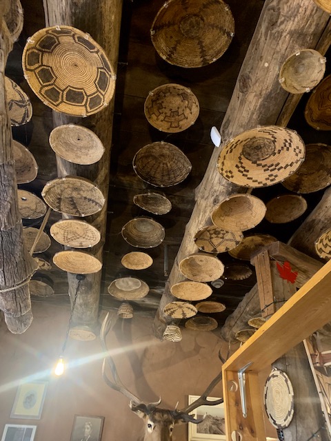
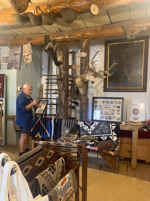
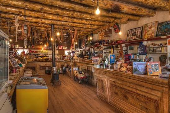
Check out the ceiling with all the baskets on it.
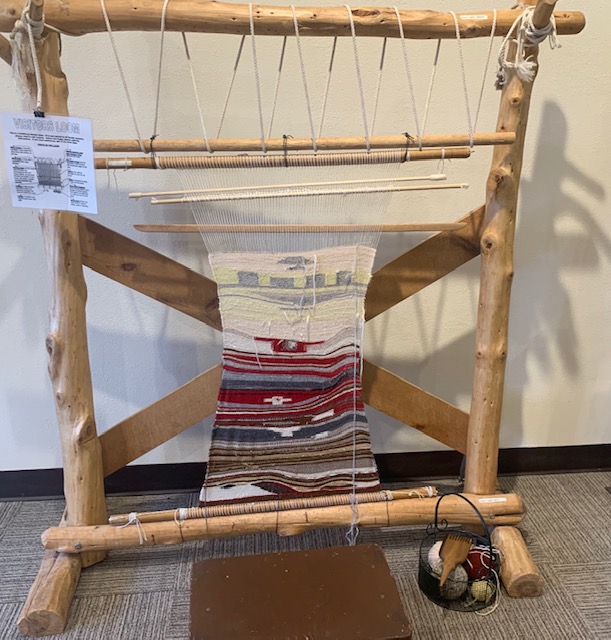
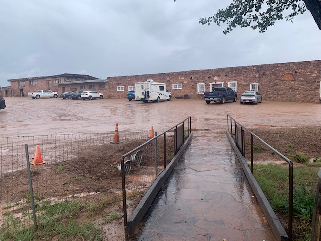
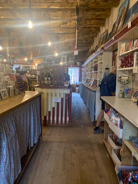
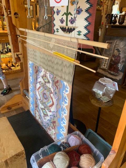
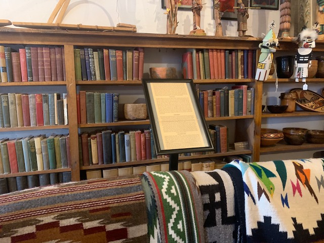
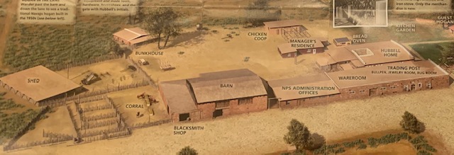
The Hubbell Trading Post had unbelievable items, both common and uncommon. It was another great stop, but unfortunately, we didn’t get to see and explore the historic homestead and barn, etc. because it was still raining, and the grounds of the Trading Post were all drenched from the continuous rain. If were ever this way again I know we’ll stop back.
After we left there we traveled to Winslow Arizona.
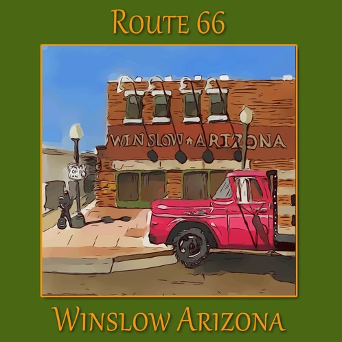
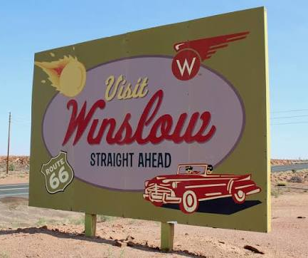
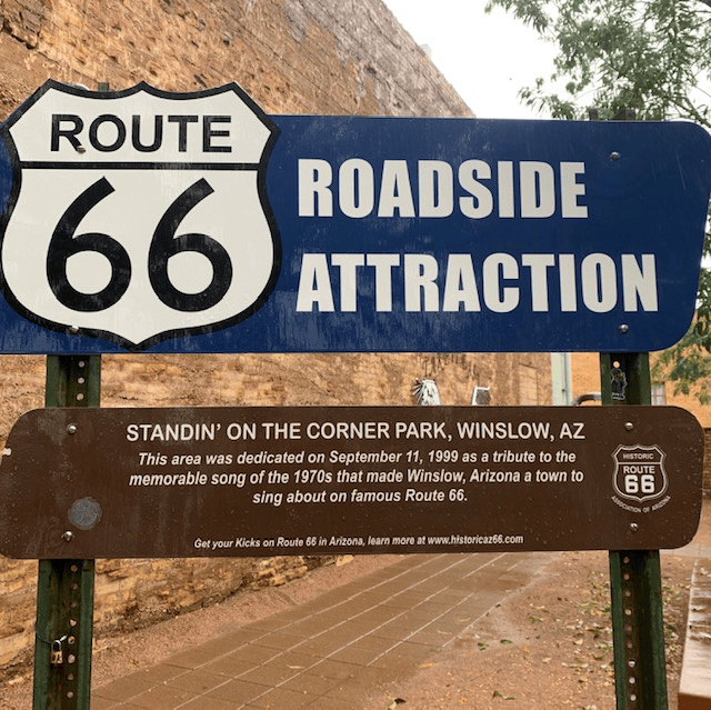
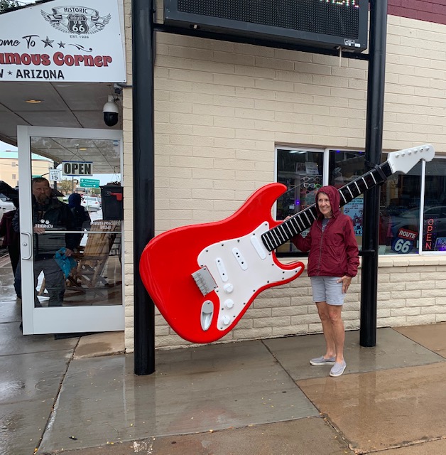
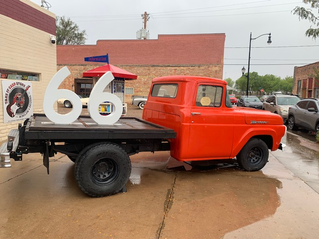
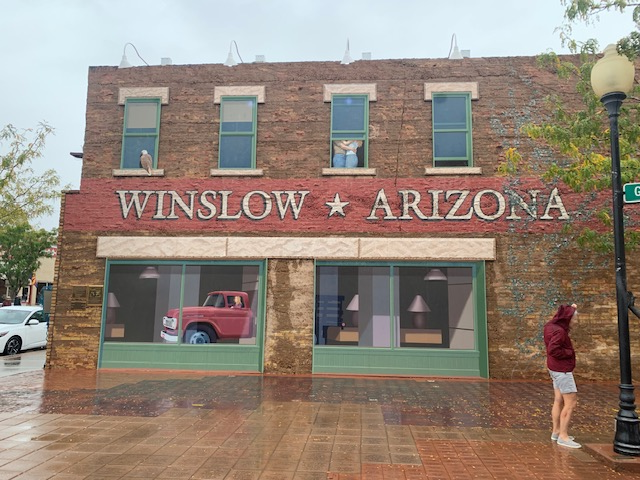
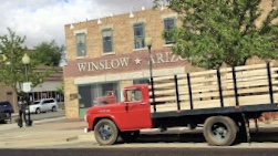
We were cruising on down Route 66 and came upon the famous landmark at East 2nd Street and North Kinsley Avenue in downtown Winslow, Arizona.
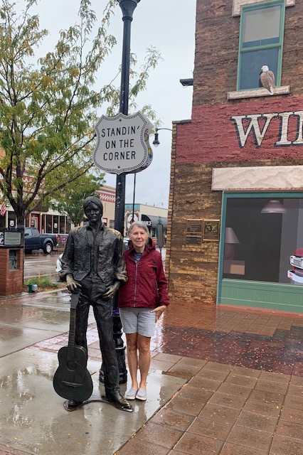
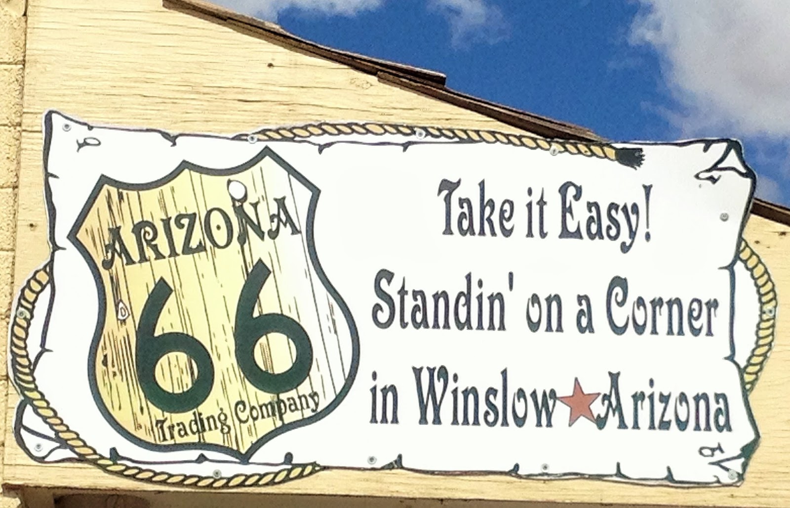
And the next thing we knew, were 🎶 “Standin on the Corner in Winslow, AZ.”🎤
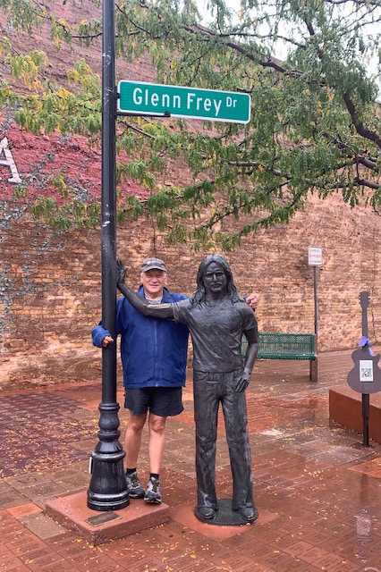
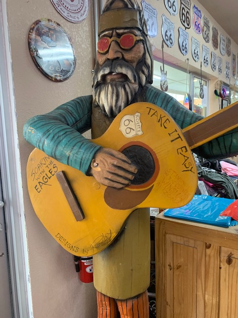
This cool hippy dude is a huge Eagles fan, he never leaves this corner.
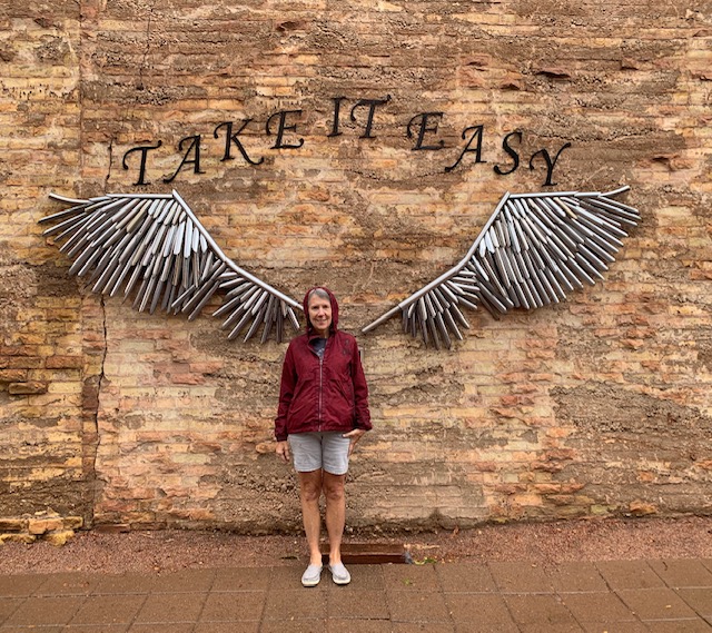
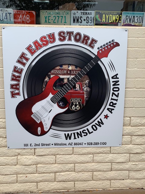
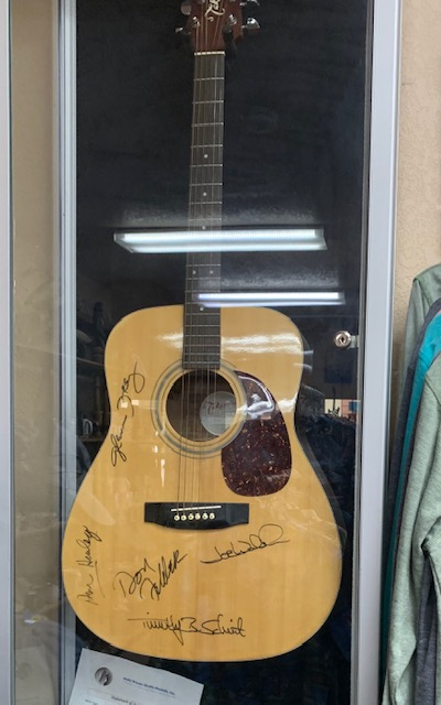
The pictures above are not on just one corner in Winslow, they were taken on all four corners in Winslow. We had good timing as we were just finished taking our pictures a whole load of people just got off a bus to get theirs taken. After that people riding motorcycles, etc. were here. Definitely a busy corner all hours of the day and night. One of the stores on the corner play Eagles music constantly. Another fun place to stop. If your ever passing through Winslow, you know what ya gotta do!
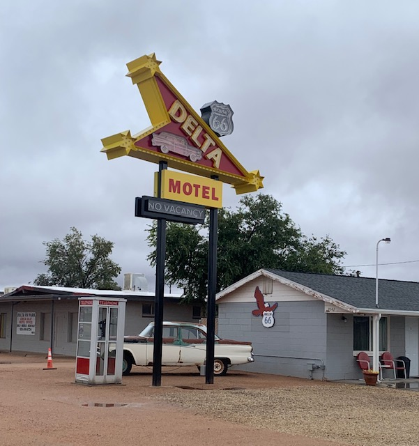
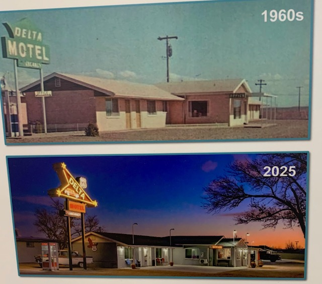
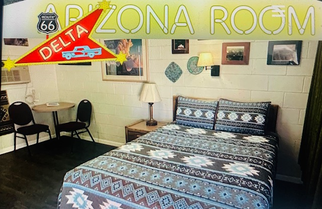
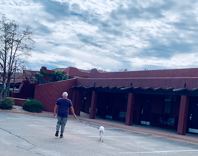
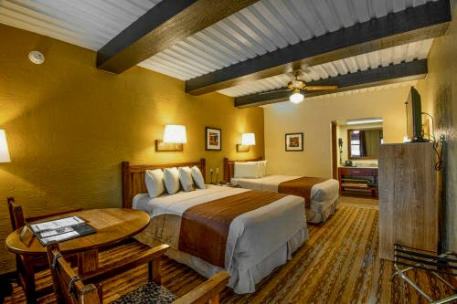
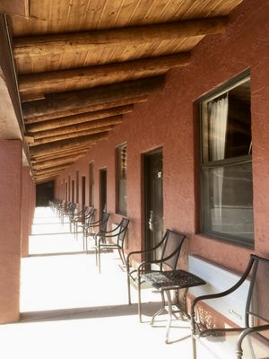
After all that excitement we went back to our motel room. We stayed at a remodeled motel from the 1960’s. We had The Arizona room. We stayed here till October 1st.
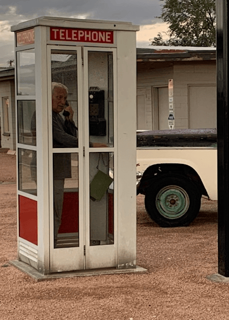
Dave is making a phone call from the telephone booth, I wonder if he has enough quarters?!
Can you remember the last time you used a phone booth? I do, it was in New York City during the end our honeymoon. Good thing I had lots and lots of quarters. 😄
When we got up the next morning it was still sprinkling so off we went off to the visitor center here in Winslow.
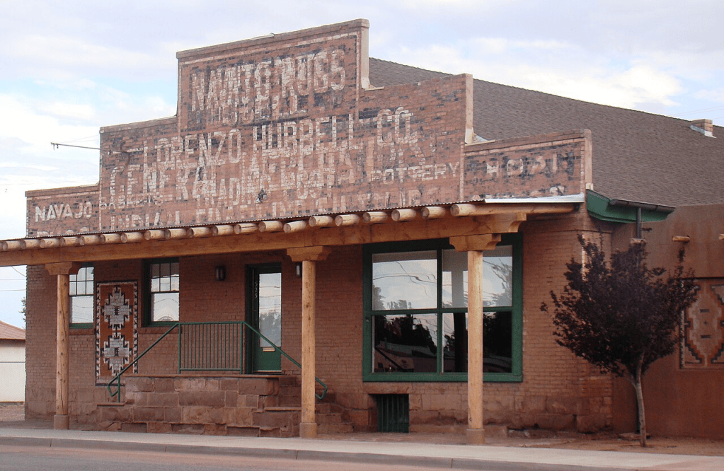
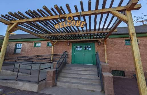
The historic brick structure located in Winslow, was built in 1917 and purchased by Lorenzo Hubbell Jr. in 1924 to serve as a wholesale warehouse and distribution point for the Hubbell company’s trading post network in Arizona. It came another trading post, owned by the son of whom we were just at yesterday.
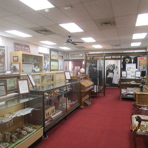
It has been acquired and restored, and now the historic trading post building was repurposed to house the Winslow Visitor Center & Hubbell Trading Post, offering local tourism information alongside preserved architectural features, artifacts, and exhibits from the past. The building also houses the chamber of commerce.
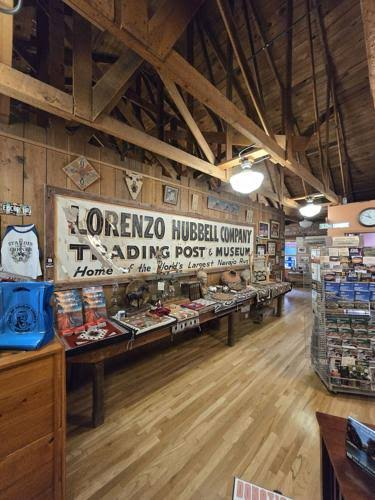
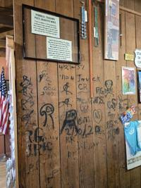
An old original sign in the first photo and the second is of a neat wall marked with names and dates left by trading post employees decades ago. Staff once used coal and ash from heating stoves to sign and date their work areas, leaving behind inscriptions from February 1920 through 1967. More markings were found later in the basement. The graffiti was never allowed in public spaces, making these behind-the-scenes signatures a quiet record of those who worked there.
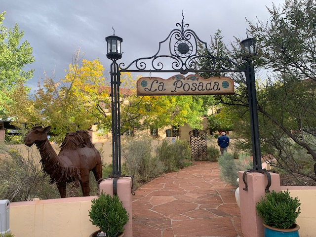
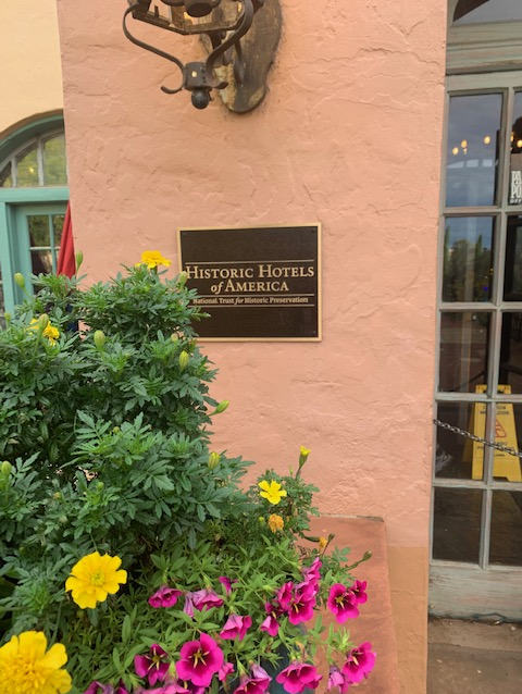
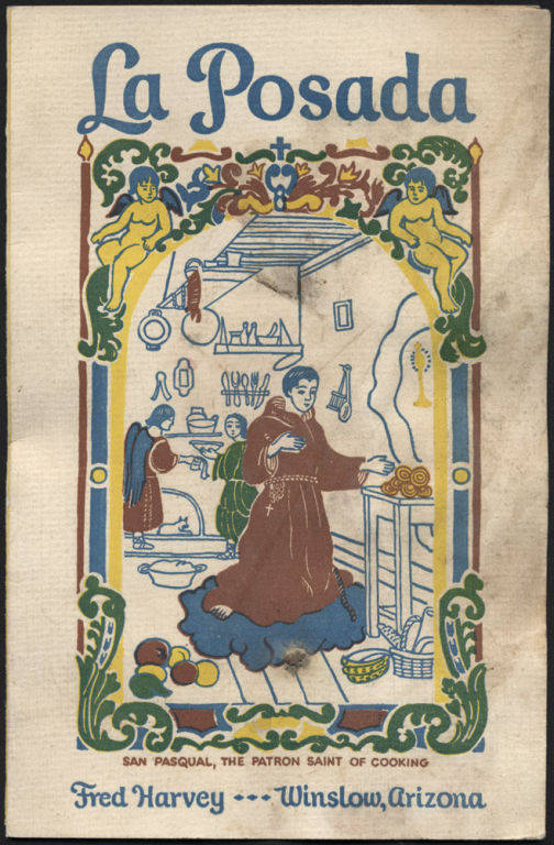
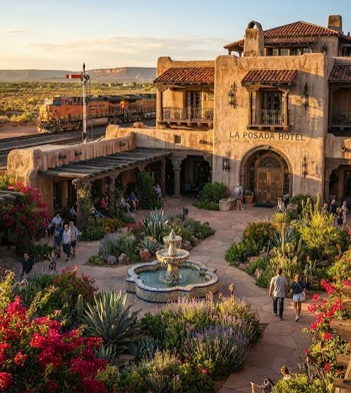
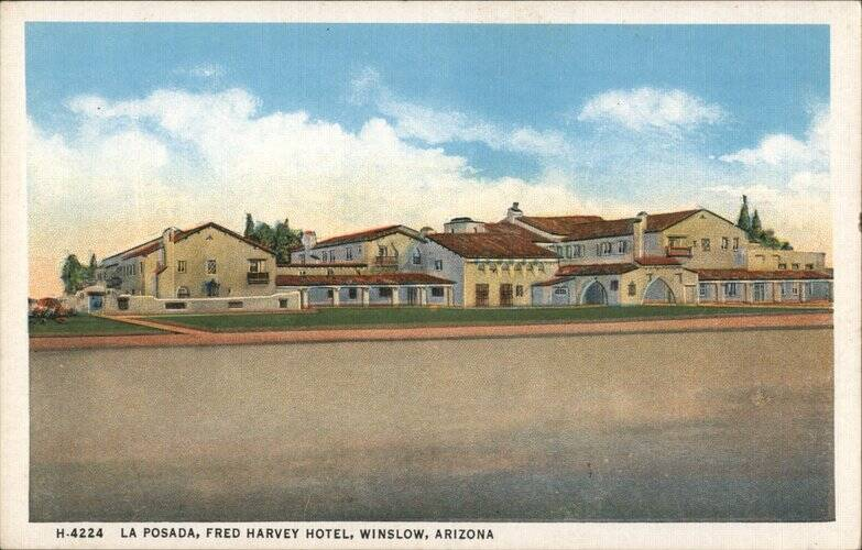
We were glad we to stopped in to see the place, especially since it was a great spot to visit in the rain. A gentleman there told us to check out La Posada down the street, mentioning it opened in 1927 with “Fred Harvey Standards.” Dave and I were curious about what those standards meant. We learned that Fred Harvey’s hotel and restaurant standards greatly improved travel in the American West by offering clean and classy hospitality instead of rough frontier stops. He mentioned that all high quality establishments still use his standards today.
Fred Harvey’s food and kitchen standards offered fresh ingredients for the food, fine tableware, a Teletype Pre-Ordering, a train brakemen telegraphed passenger menu selections ahead to the kitchen so meals were prepared and ready the moment travelers stepped off the train. A staff member struck a brass gong outside the entrance upon train arrival to guide passengers straight to their seats.
La Posada features 54 rooms, mostly named after famous guests and notable figures, including Albert Einstein, Amelia Earhart, John Wayne, President Franklin D. Roosevelt and Howard Hughes. Recently, celebrities like Diane Keaton, Jackson Browne, Emilio Estevez, and James Turrell have visited, although some say it’s due to a lack of publicity they want their staying there to be private.
It features an outdoor heated pool, a hot tub and a 5 star restaurant to boot.
Fed Harvey replaced all the male waiters at the hotel because he found them unruly and misbehaving. He replaced them with the Harvey Girls. They wore matching black shirtwaist dresses, starched white aprons, and white caps with hair neatly pinned. Employees lived in supervised dormitories with strict curfews enforced by a head matron; rules prohibited heavy makeup, bad language, and breaking a year-long employment contract.
.Architecture and Cleanliness Standards
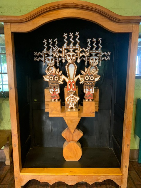
It was known for being extremely clean with high standards of sanitation in kitchens, dining rooms, and guest rooms—something rare on the 19th-century frontier. The architecture featured prominent architects like Mary Colter, who designed famous trackside hotels (like El Tovar and La Posada) that combined luxury with Southwestern and Native American styles. Additionally, authentic Native American art, crafts, and culture were showcased throughout the hotels.
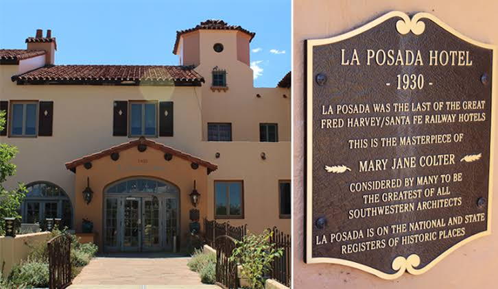
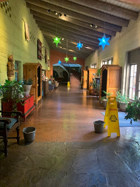
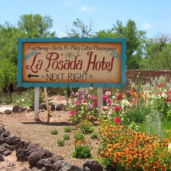
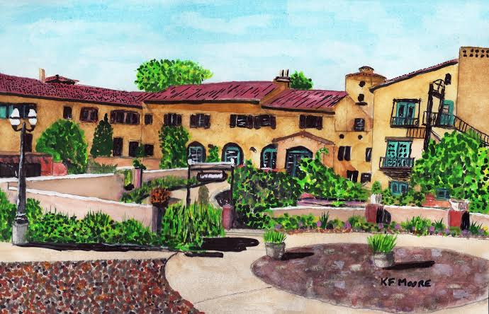
La Posada was conceived as the finest hotel in the Southwest, the crown jewel of the Fred Harvey Company’s hospitality empire along the Santa Fe Railway. Designed by the famed Mary Jane Colter, she considered it her personal masterpiece. It opened in 1930, the hotel operated for just 27 years before closing. The original historic property closed in 1957 because of a severe decline in rail travel. It thrived during the golden age of train travel. However, the rise of the personal automobile and interstate highway travel caused it to close. Its museum-quality contents were auctioned, and its interior was gutted for offices, and it narrowly escaped demolition multiple times over the next 40 years.
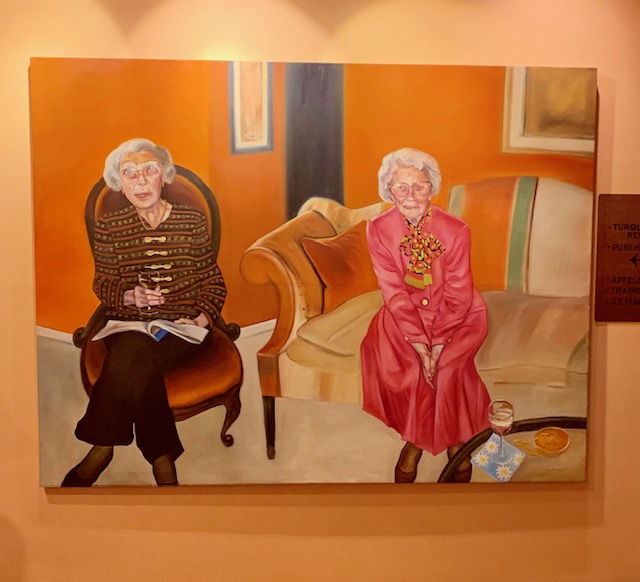
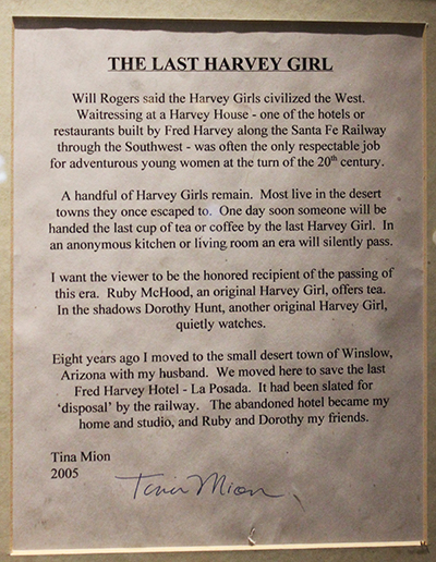
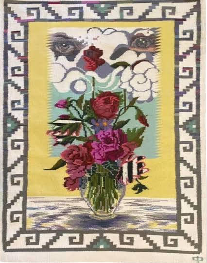
Facing its final threat, the hotel was placed on the National Trust for Historic Preservation’s endangered list, where it captured the attention of Allan Affeldt. After three years of complex negotiations, Affeldt and his partners purchased the property in 1997 and began the monumental task of restoration. They have since transformed La Posada from a ruin into a vibrant “living museum” that showcases history, architecture, and the art of Allan’s wife, renowned painter Tina Mion.
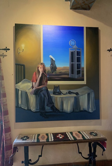
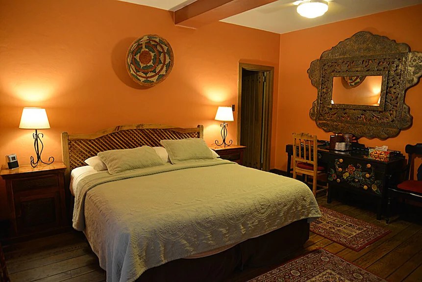
It’s an incredible hotel, and I love Tina Mion’s oil paintings. Next time I’m in Winslow I’ll be staying in their corner.
Being is was still sprinkling and dreary we headed back to the Arizona room and watched TV.
Cause 🎤🎼 “life is a Highway” 🎶, Do you remember that Song?
[Chorus] Life is a highway I want to ride it all night long If you’re going my way I want to drive it all night long
Do you remember it now?
Hey you know I can actually see for miles and miles, it looks awesome, 🎶 I can see for miles and miles, I can see for miles and miles.🎼
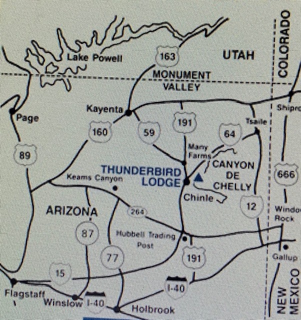
On our way to Chinle, Arizona.
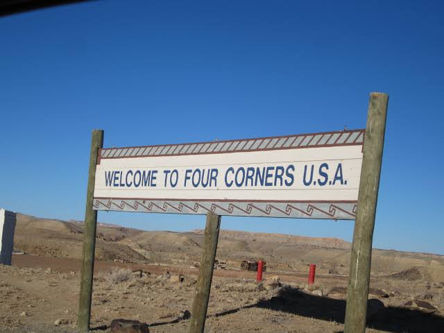
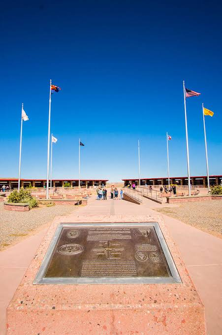
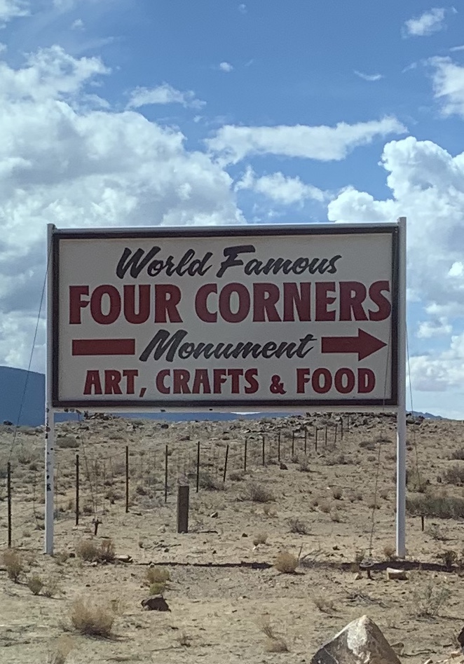
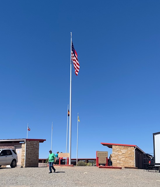
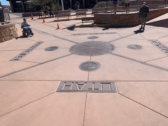
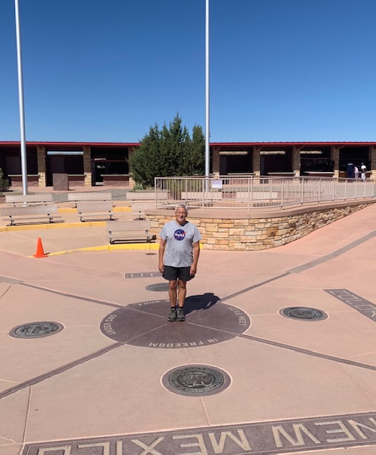
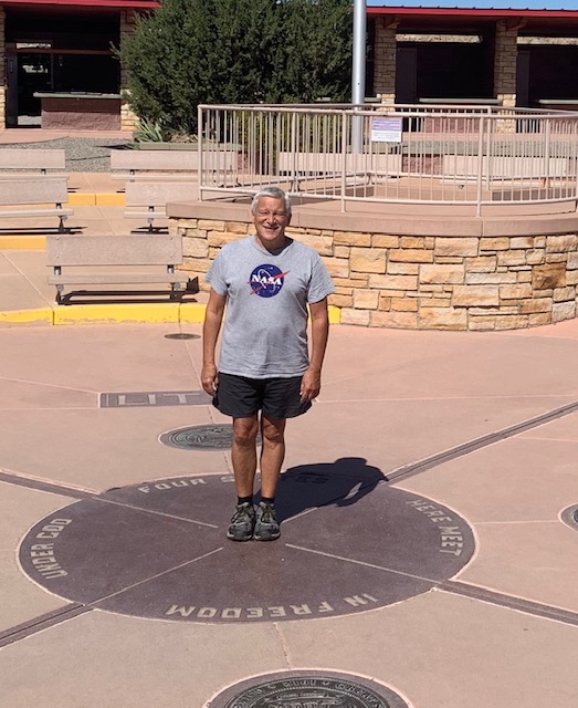
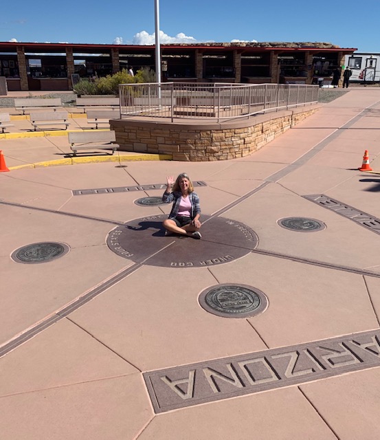
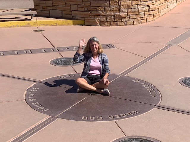
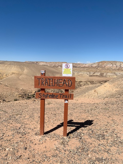
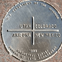
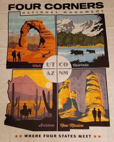
We stopped atThe Four Corners Monument. The monument marks the spot in the Southwestern United States where Arizona, Colorado, New Mexico, and Utah meet. It is the only point where these four states connect.
Everyone enjoys standing, sitting, laying, or whatever in the center cause your in 4 states at the time.
When government surveyors found out where the states of Utah, Arizona, Colorado and New Mexico had come together, they installed a simple cement pad marking the spot in 1912. Over time, the monument evolved, with a granite marker bearing a copper disc established in 1992. Further improvements came in 2010 when the site added two intersecting lines through the center disc, marking the boundaries alongside the seal of each of the four states.
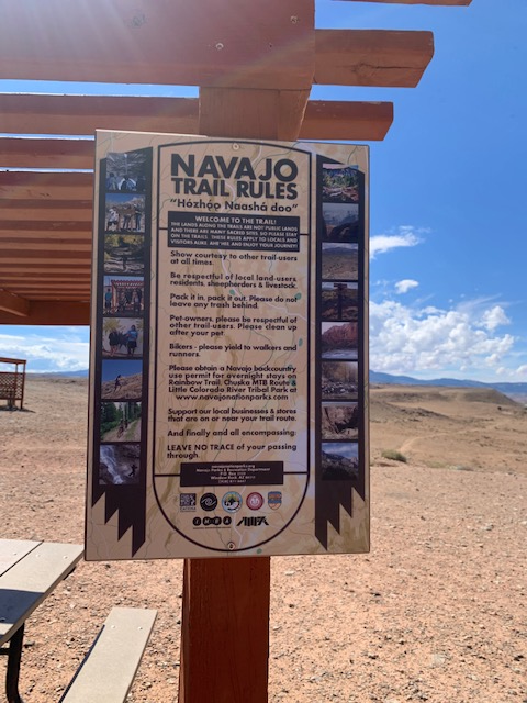
The Navajo Nation and Ute Tribe both own the property. They run the monument and sell their crafts and food here too. A fun stop for sure!
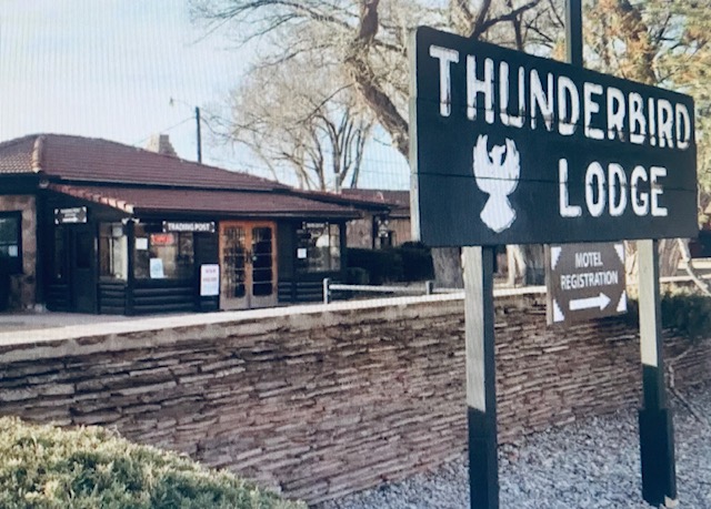
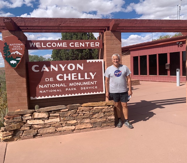
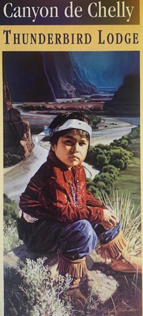
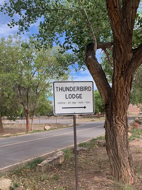
Our destination was the Thunderbird Lodge.
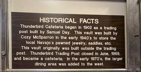
The Thunderbird Lodge is a historic lodge in Chinle Arizona. It is the only lodging facility in Canyon de Chelly National Monument, which was established in 1931. The lodge comes from an old trading post built in 1896.
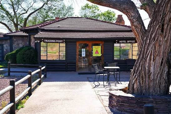
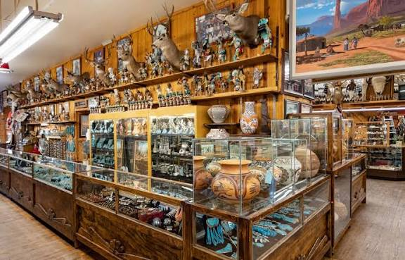
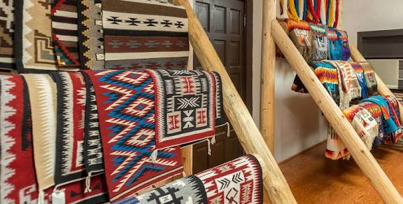
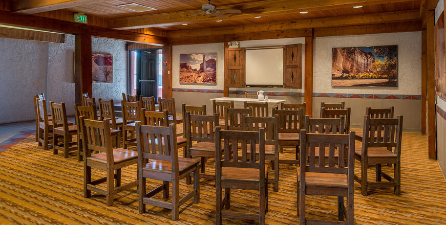
The Lodge sits on the site of an 1896 trading post. It has pink adobe construction that is from the ancient pueblos. Dining is located in the original trading post and offers both continental and Navajo-style dishes. The dining room walls are adorned with Navajo rugs and artwork. A vault-like room in the center of the dining area once served as a jail for the trading post. The gift shop has some of the Native American jewelry, crafts and Navajo rugs.
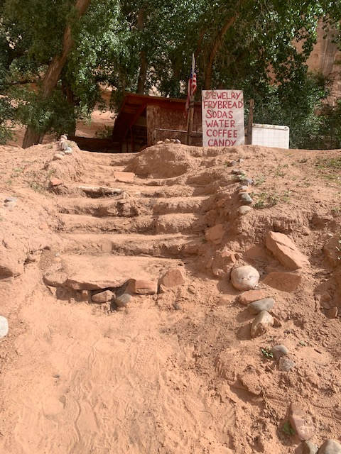
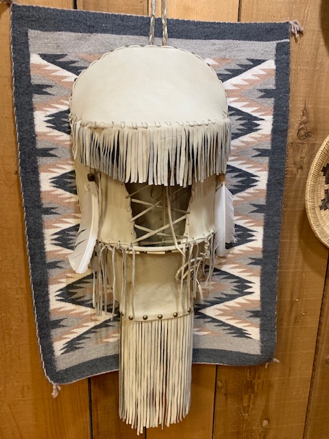
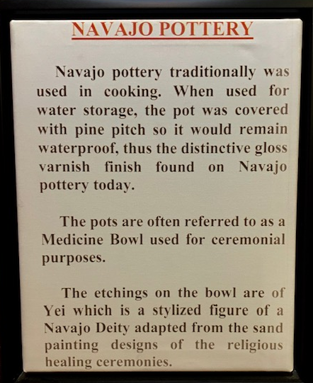
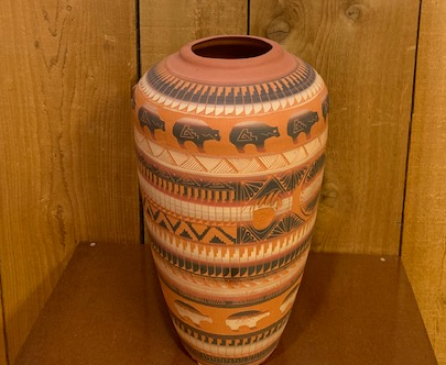
The Trading Post had some really nice things.
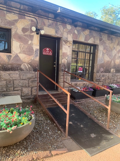
The part of the lodge that the rooms were in was nice too. Our room # 62.
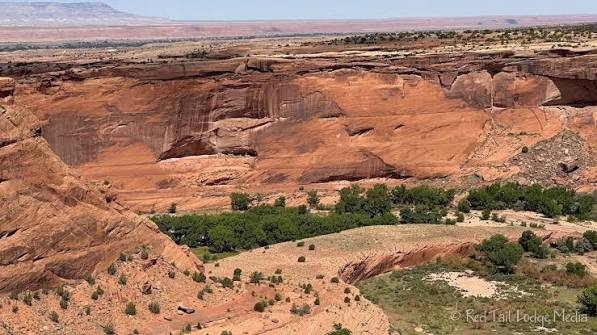
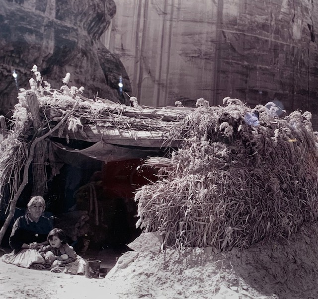
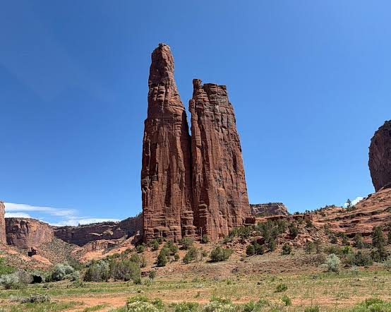
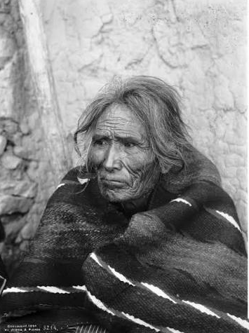
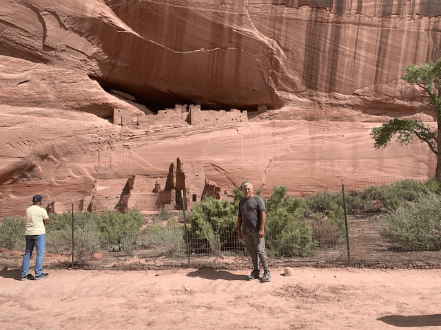
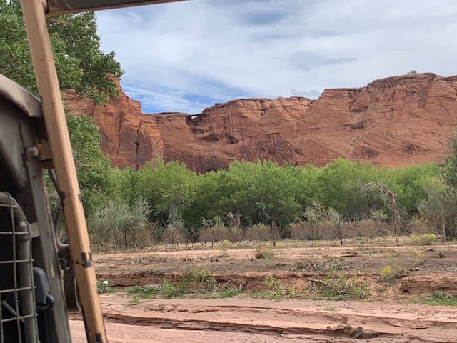
The canyon It is one of the longest continuously inhabited landscapes in North America, preserving the ruins of the Ancestral Navajo. The name “Chelly” comes from the Navajo word Tséyiʼ, meaning “canyon.” The area spans almost 84,000 acres. For nearly 5,000 years, people have used the towering sandstone walls of Canyon de Chelly.
It has 700-foot-tall sandstone walls, which was made by the Defiance Plateau (elongated uplift) into which the Chinle Wash has made its mark, creating homes for Paleo-Indians, Ancestral Puebloans, Hopi, and Navajo. Ancestral Puebloans. They built stone villages, campsites, shelters, and permanent homes, the remains of which are here today. They also survived harsh weather conditions and wars.
Now, the reason we headed out to the Lodge was to venture out on their Jeep Tours.
So on the morning of September 27th, we did just that . . .
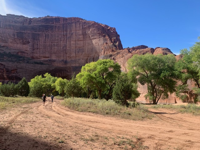
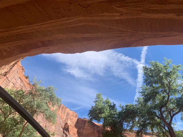
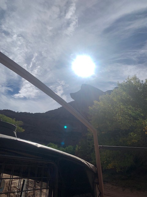
Our jeep tour took us thru Canyon de Chelly – Ancient Home of the Navajo.
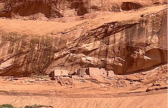
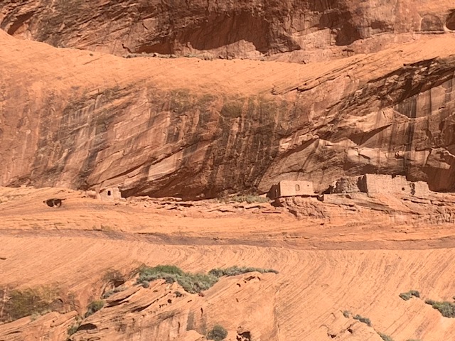
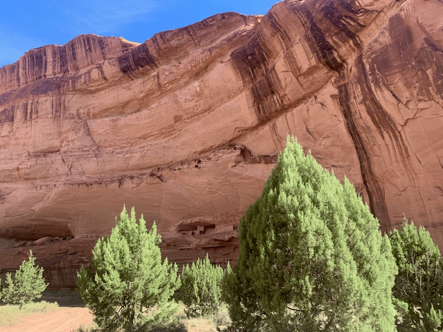
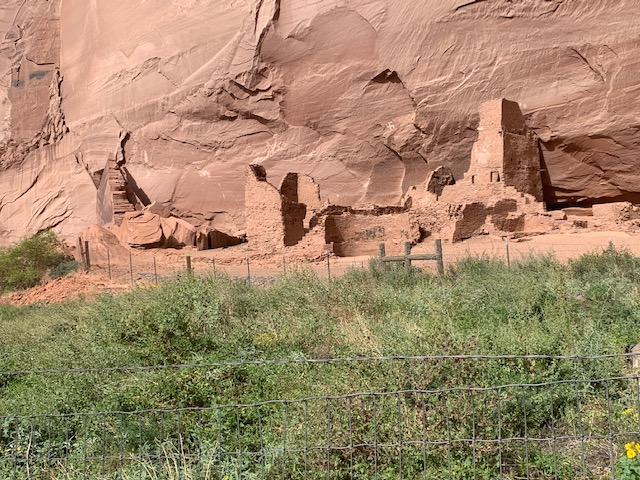
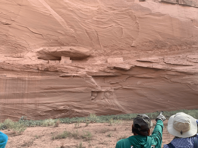
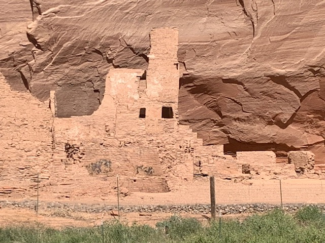
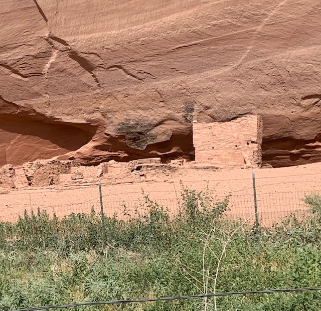
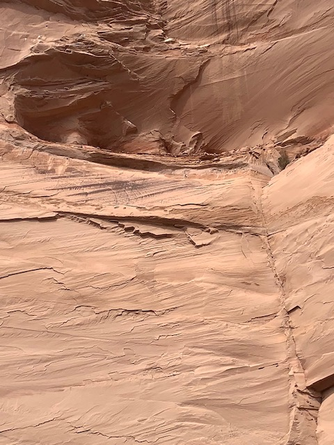
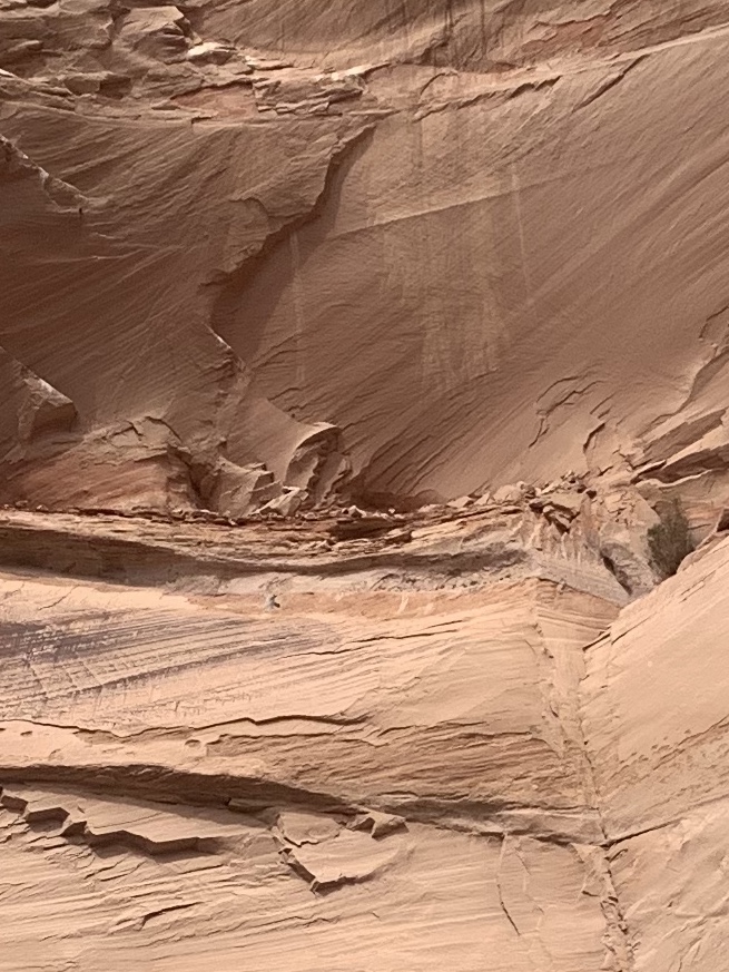
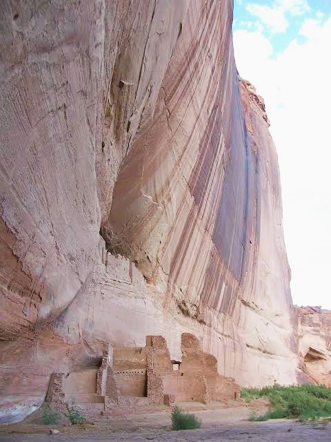
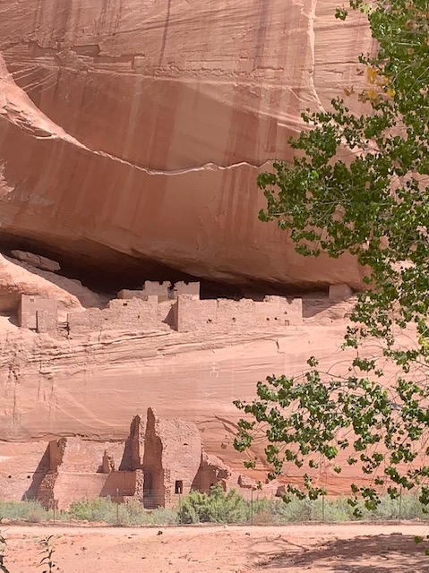
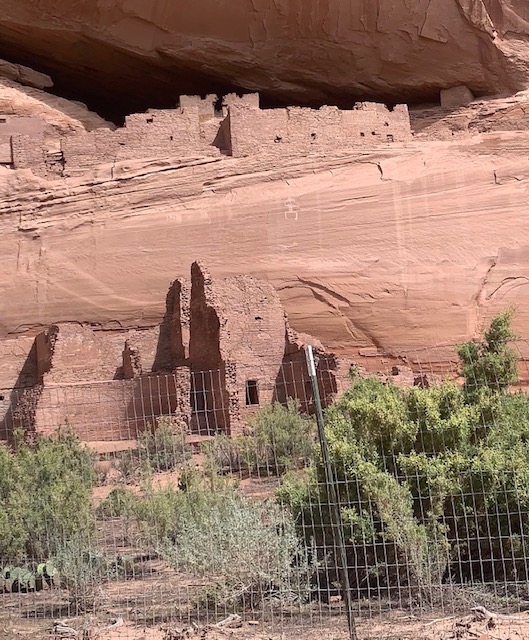
Ancient Navajo Dwellings on the cliffs.
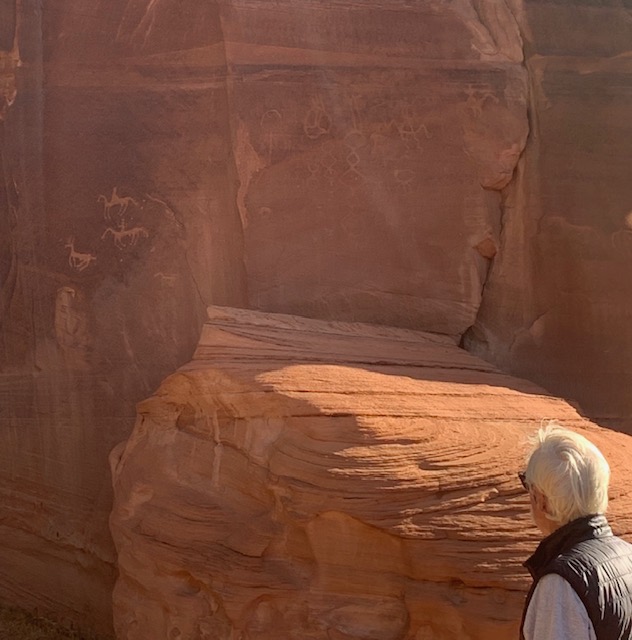
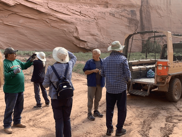
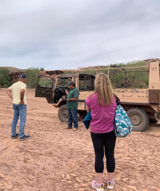
While travelling in the jeep, Mike, our Navajo guide explained the significance of man-made structures and symbols like petroglyphs and pictographs.
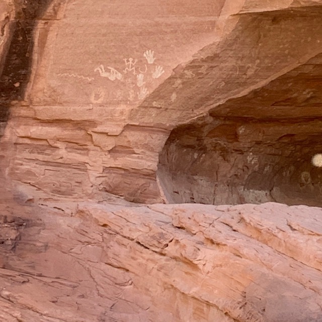
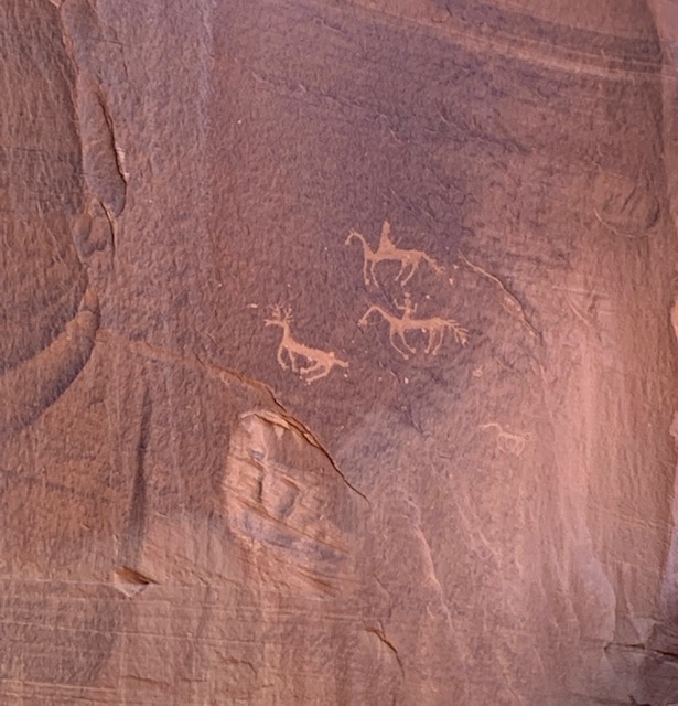
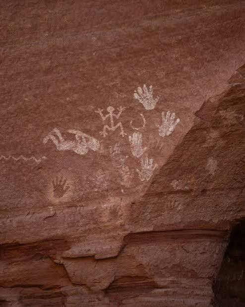
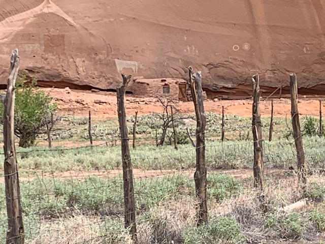
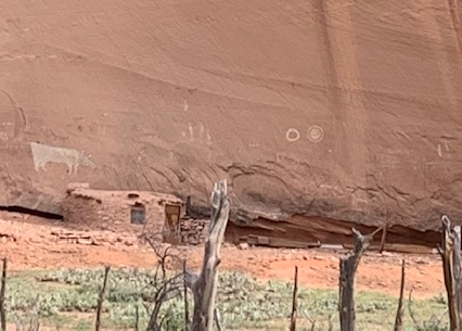
These petroglyphs have horses and a person riding a horse.
Our guide told us that they call this cliff, Margareta, cause it always a hang over.
This is Cat overlook, cause the cat was looking over us as we passed through.
Another jeep behind us.
Dave is asking our guide Mike a question about the ancient Navajo Dwellings.
Mike grew up on this reservation and told us stores of being little and climbing and playing in the ancient dwellings.
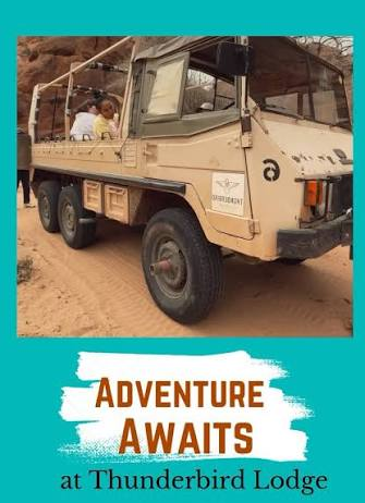
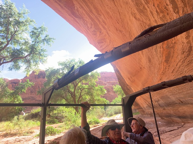
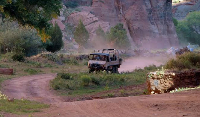
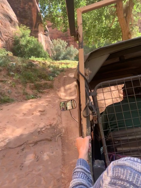
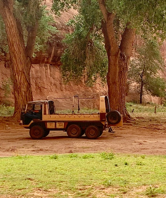
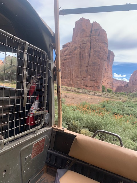
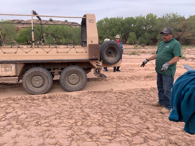
Mike said the jeeps they use are, 6-wheel-drive, open-air German made Pinzgauer an all-terrain utility vehicle. They got them from the Australia sheep herders. They carry up to 10 passengers and are designed to handle the canyon’s deep sand, water crossings, and bumpy, unpaved terrain
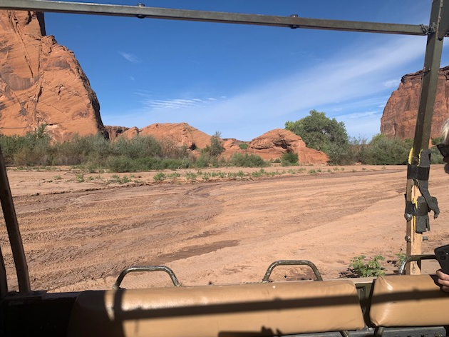
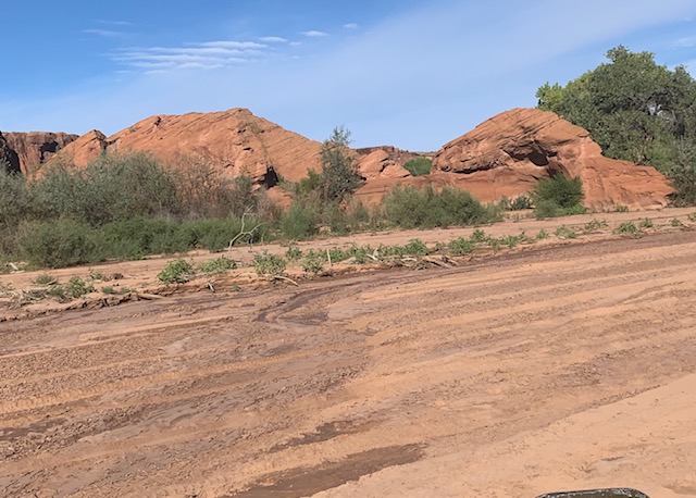
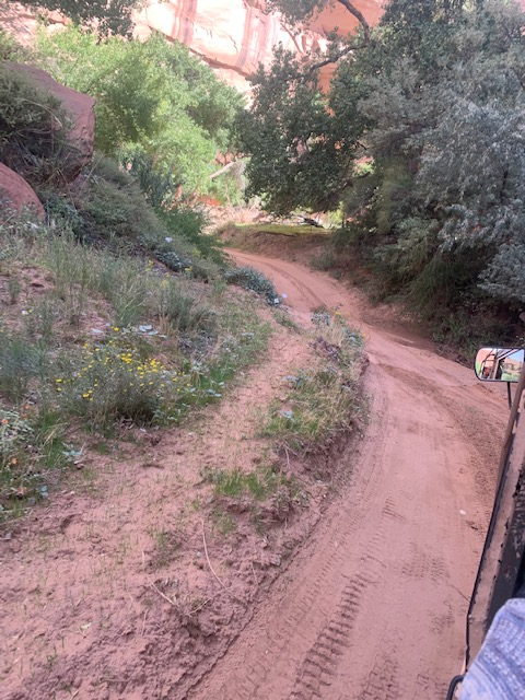
And we did go through rough stuff, as you can see from the above pictures, Mike, us and the jeep are a rockin and a rollin.
That’s me holding on …
They call this rock formation Sleeping Duck, I agree maybe?
More petroglyphs
This is called the Dog rock formation, Well maybe?
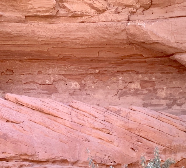
Here you can see the oldest petroglyphs in the canyon.
We got stuck a couple of times, Mike changed gears, used the rocking method, gave it gas and let the clutch out, all the fun things you do when driving a standard. It worked the other times, but this time he stalled it.
We were stranded, for about 5 minutes and another vehicle came and picked us all up. We were only a mile from the lodge so we could have walked back.
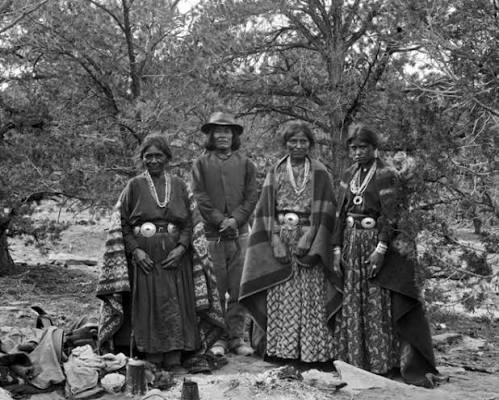
We were back at the lodge after our 4 hour Jeep Tour. We felt a little banged up but it was definitely worth it. We learned stories of all the Navajo Ancestors from different generations, saw amazing petroglyphs, pictographs and ruins. The area is sacred to the Navajo, with still-active residents living in the canyon and dry farming where once the ran deep. And the scenery of the canyon was amazing.
It was interesting to travel in a jeep because you could quickly see how far apart everything was. You might wonder how often people in the other dwelling saw each other, especially when most of their travel was by foot or horse. They got around pretty dang good, using trails called “hand-and-toe” trails, which are also known as Moki Steps or Moqui Steps. These are old vertical paths carved into the rock walls by the Ancestral Puebloans. These steep trails were like the highways for their communities, helping them move through difficult areas like Mesa Verde National Park, Canyon De Chelly and Chaco Canyon
These are two “Toe and Heal Paths we saw in our travels. I guess it’s a thing now to try “finger and toe paths as they say it ” helps the energetic and structural pathways connecting the hands and feet through the body’s nervous system, fascia, or practices like Jin Shin Jyutsu energy flows.
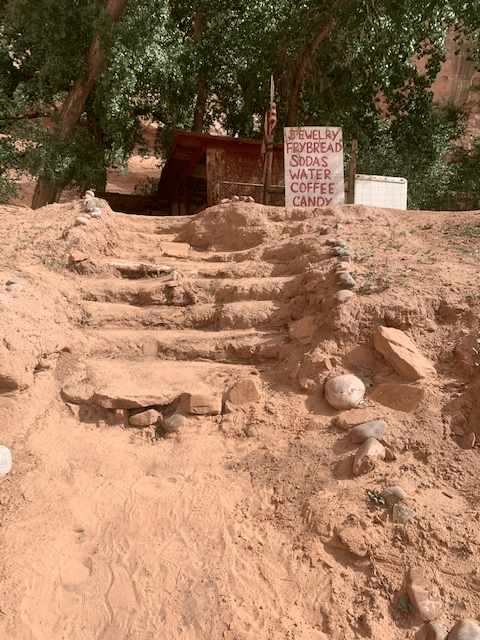
I went back into the Trading post and had to take a picture of this sticker!
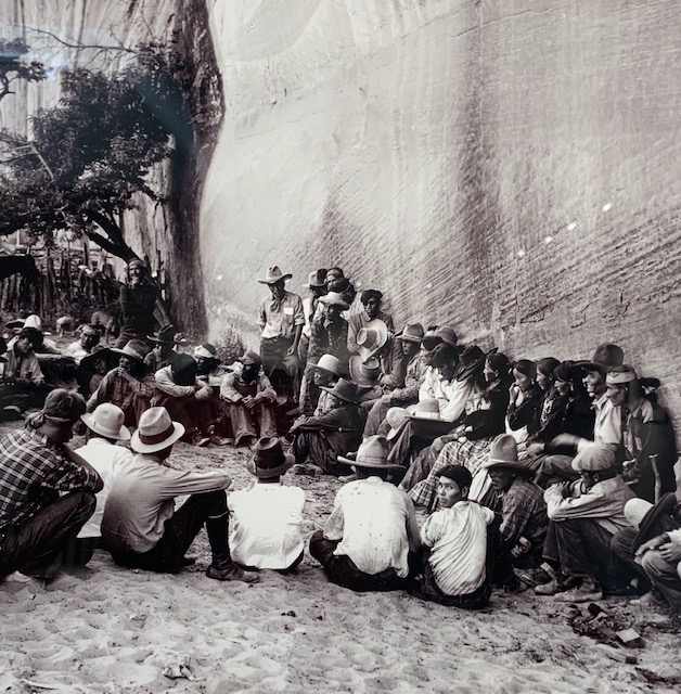
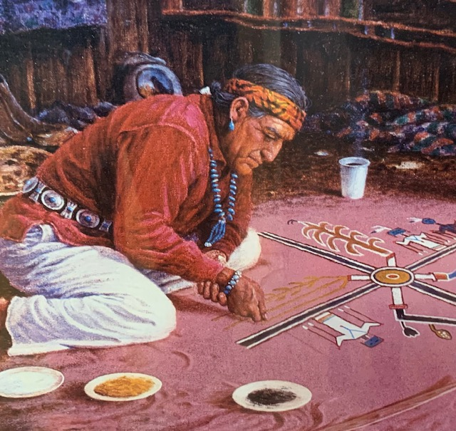
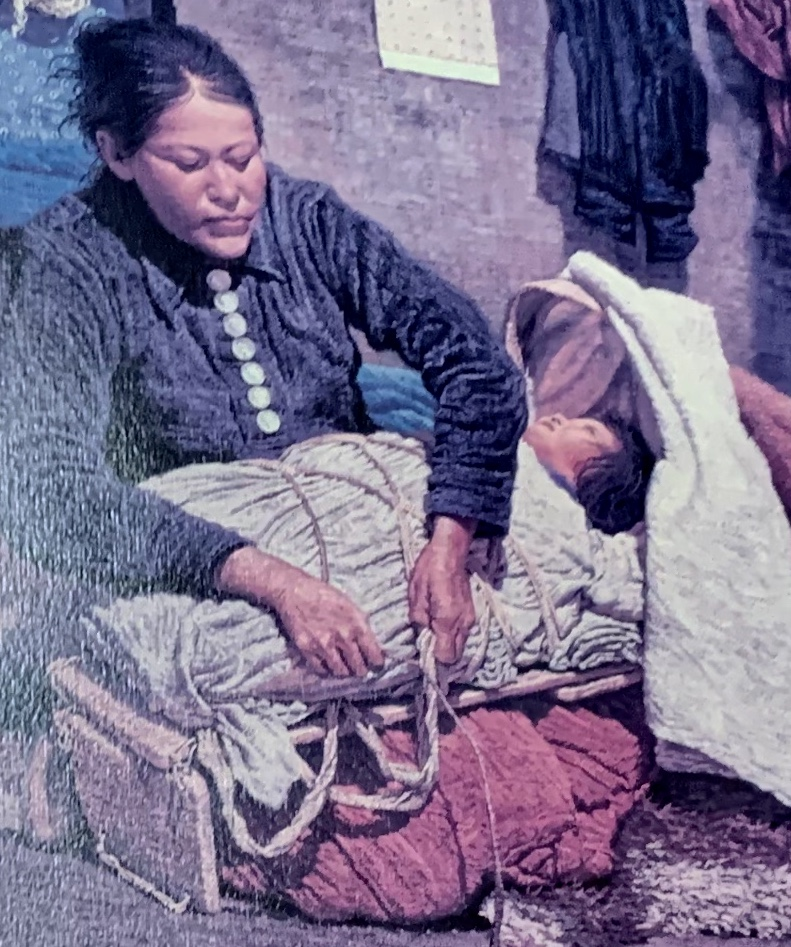
Neat pictures and such they had in the post.
It looks just like the one in the picture.
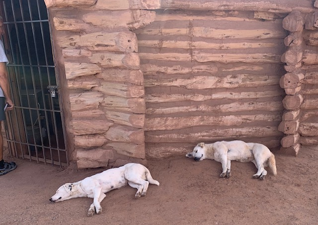
Dogs resting in the outside shade.
It was for sure a great place to stay and be in a National Monument. If your ever in the area, at least take a jeep ride. We left on September 28th in the rain to Winslow, Arizona.
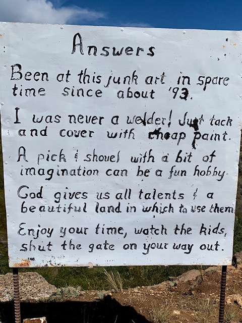
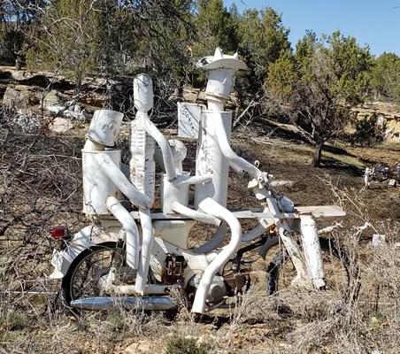
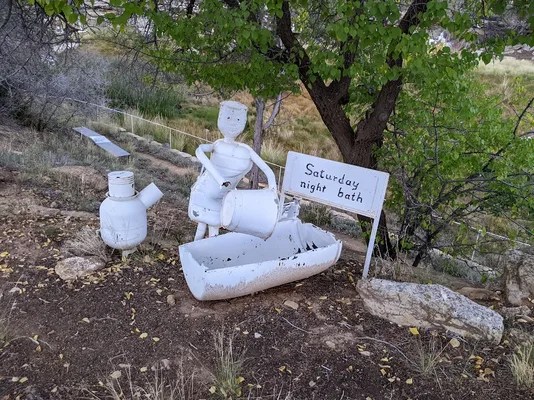
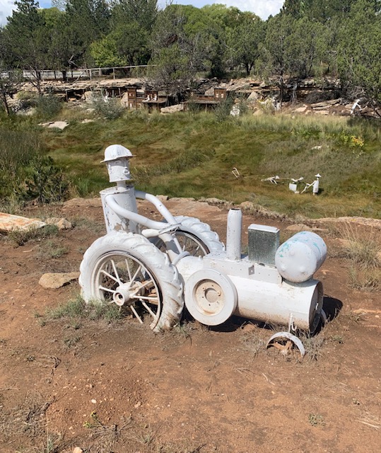
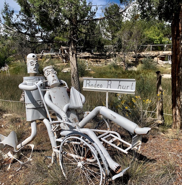
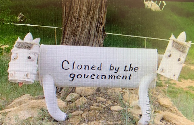
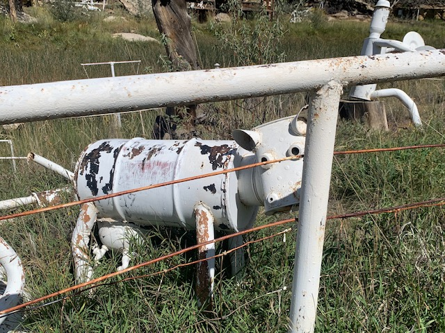
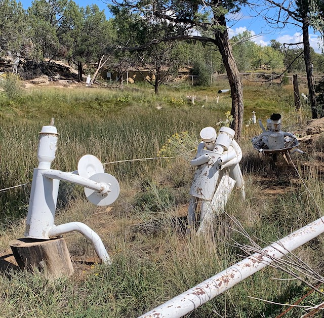
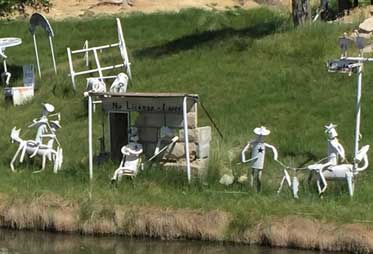
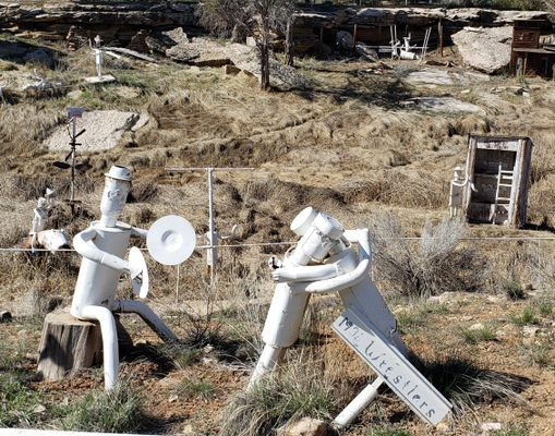
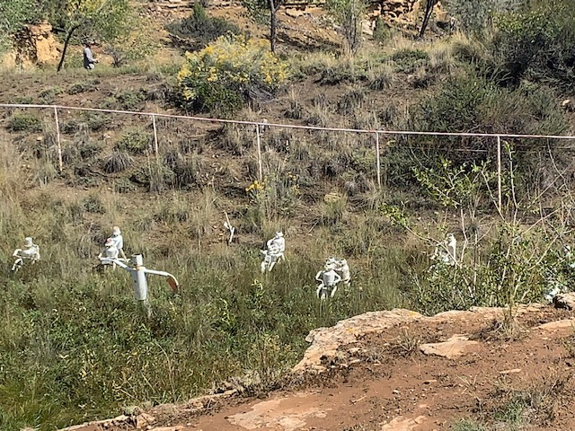
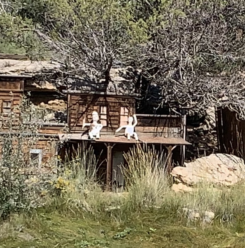
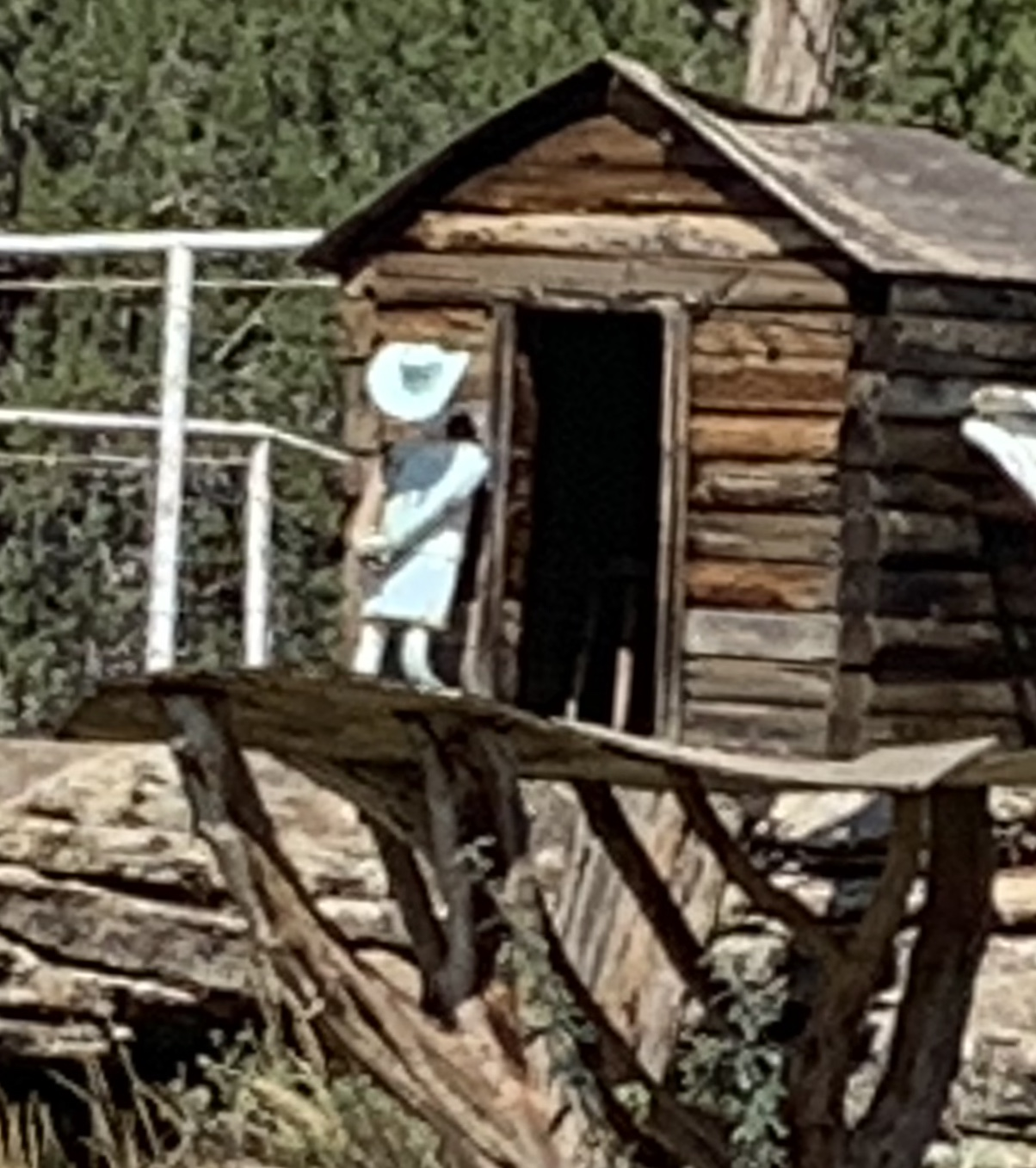
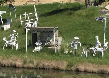
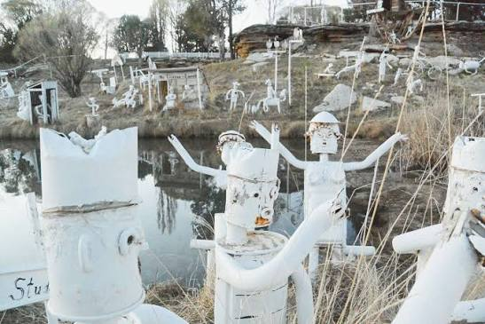
They we’re white made of things like, mufflers and other car parts as well as machine parts, shovel blades, and pails to create a “community” of figures engaged in humorous scenes.
We found about these “Muffler People” and had to pay them a visit! It’s an unusual little neighborhood. It’s residents are composed entirely of spare metal parts, painted completely white, and performing a variety of little tasks. Their riding a bike, taking a bath, or in a wheel chair, their doing all sorts of things. This is “Creations from Mufflers,” a great a roadside art project.
The “Muffler People” were all over the place! What a great neighborhood it was. Thank you very much Floyd Johnson for your incredible masterpiece. We loved it!
We had a great stay at Cortez, Colorado as tomorrow the 26th we head out for another Adventure!
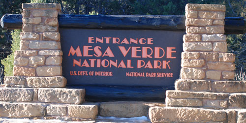
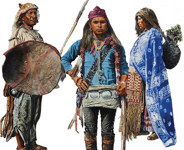
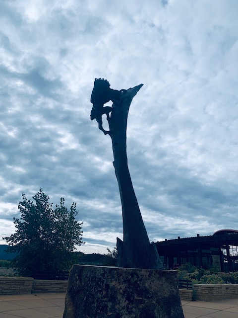
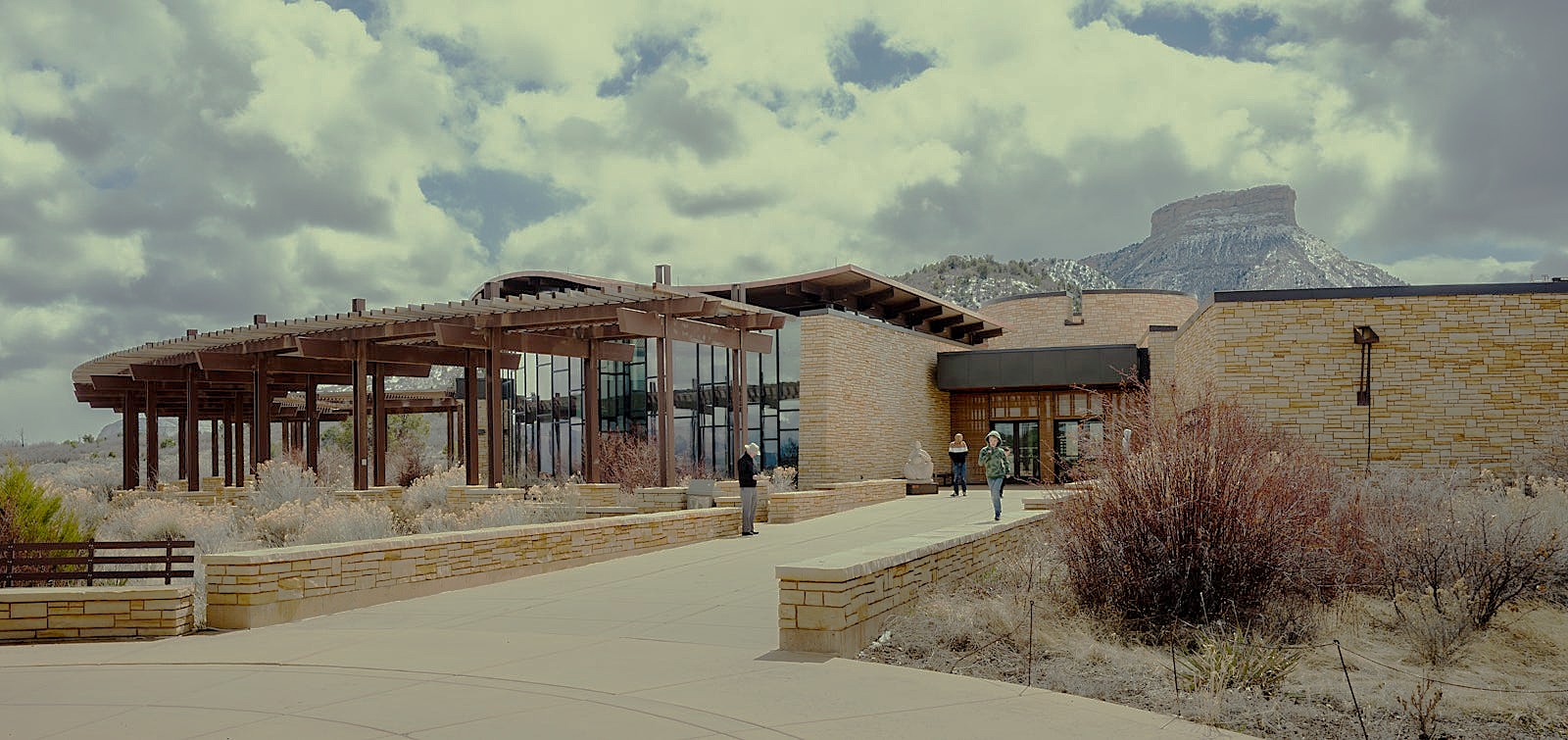
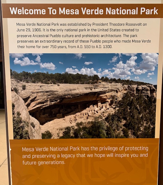
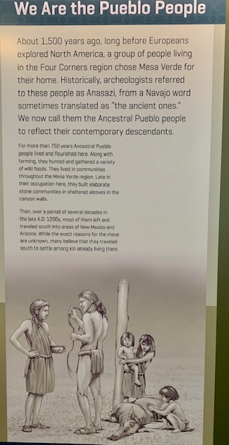
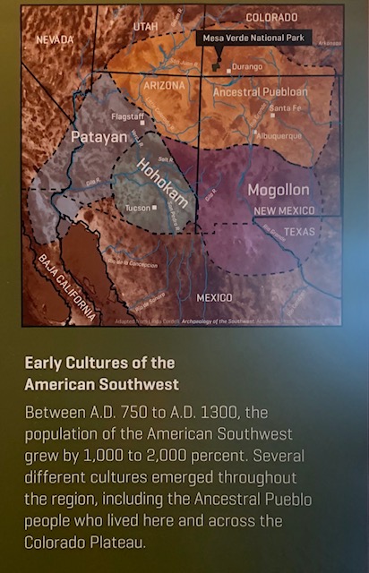
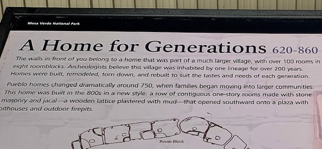
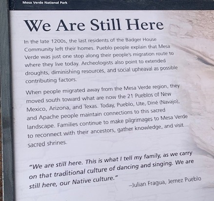
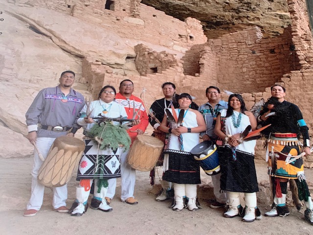
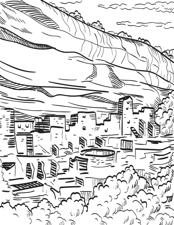
On September 24, we visited Mesa Verde National Park in Montezuma County, Colorado. The Ancestral Puebloans thrived on the mesas and in the sandstone alcoves of the park roughly between 600 and 1300 AD, transitioning from mesa-top pit houses to massive multi-room cliff dwellings. The Park was established as a national park in 1906, it remains the largest archaeological preserve in the United States and honors the continuing heritage of 27 affiliated Pueblos and Tribes.
Mesa Verde in Spanish means “green table”, with mesa meaning table and verde meaning green. It describes a flat-topped, tree-covered plateau.
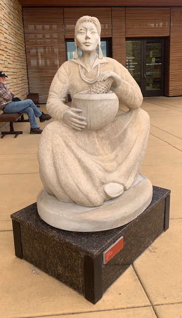
We went to check out the visitor center.
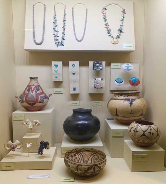
Jewelry has been created and worn in the Southwest since prehistoric times. For hundreds of years, Native Southwestern people have crafted mosaic inlay and beads from turquoise, shell, bone, and stone.
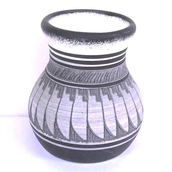
The prehistoric Indigenous people of the Southwest created hand-coiled pottery and passed their skills down through generations (around AD 500 to 1300). Everyday pots had rough textures, while finer pottery showcased detailed black-on-white, black-on-red, or multicolored designs.
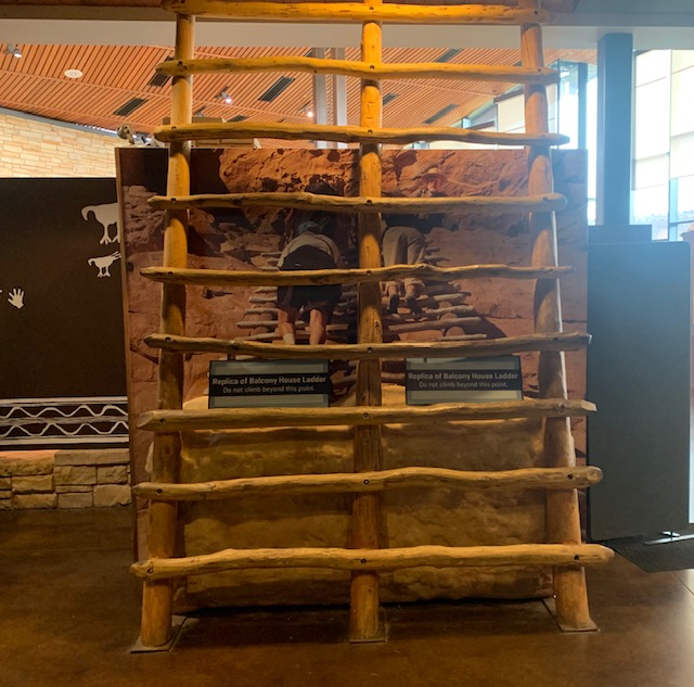
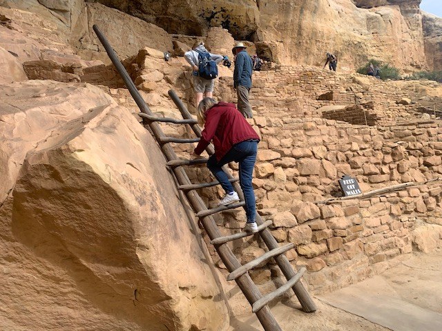
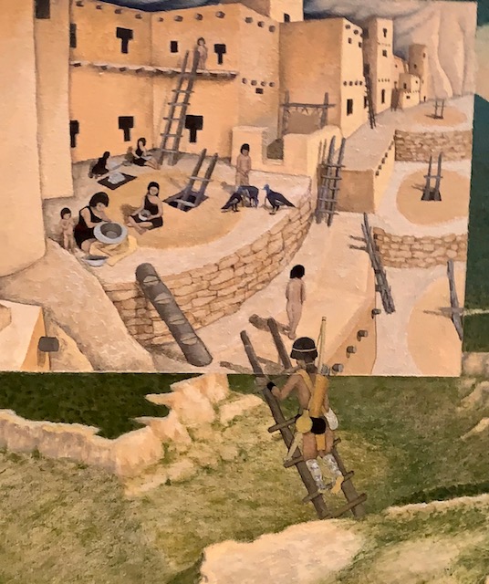
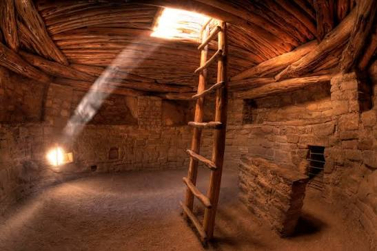
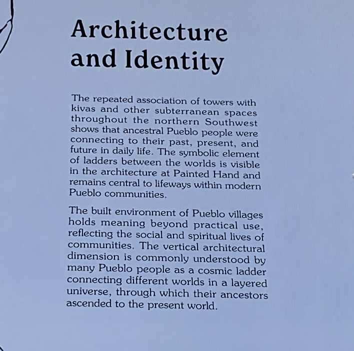
Ancient Pueblo villages used wooden ladders to reach their multi-story adobe homes, access underground ceremonial chambers called kivas, and to climb to cliff dwellings.
We left the visitor center and headed out in the park.
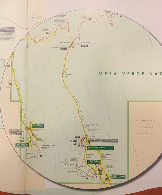
We drove to our first The Step House which was amazing.
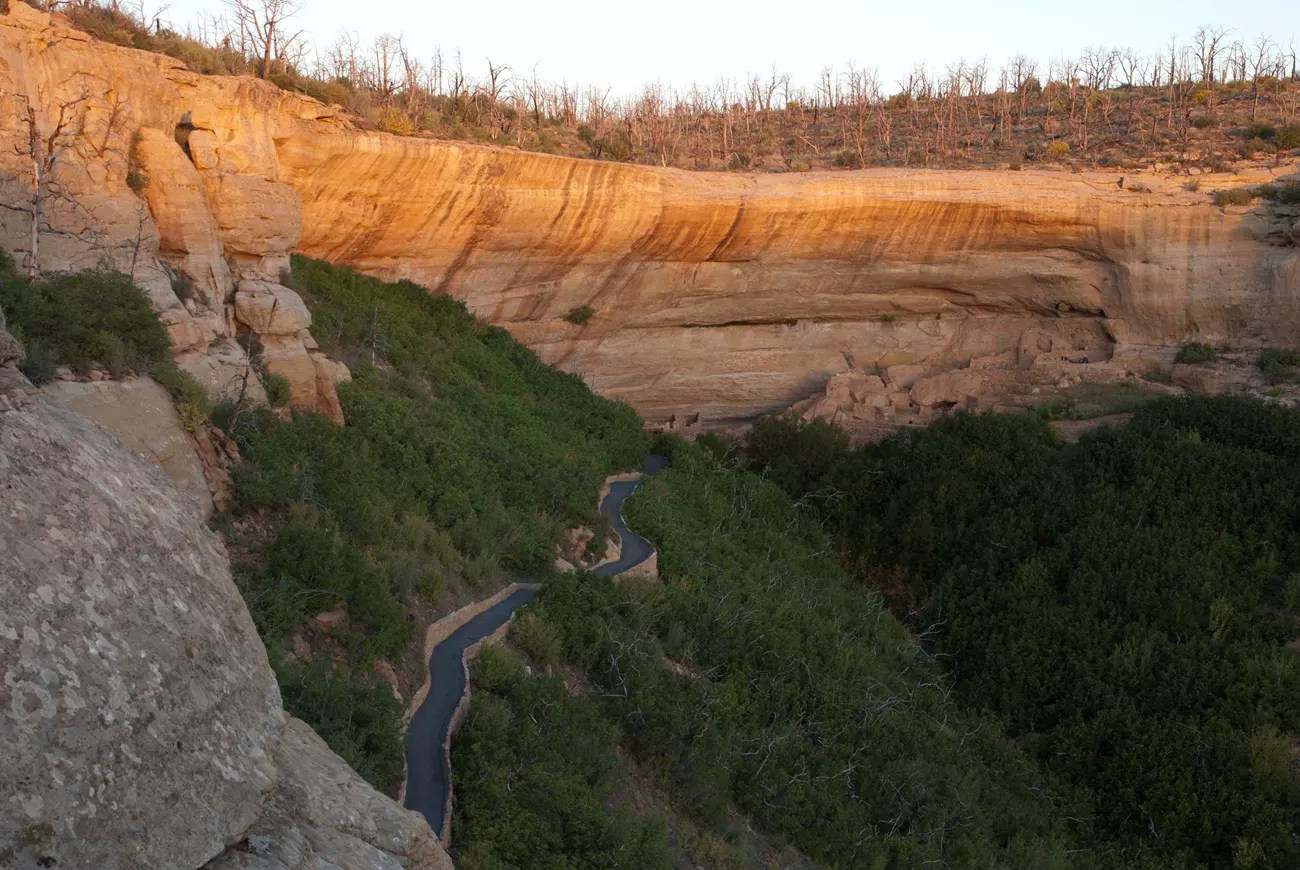
On route to the Step House.
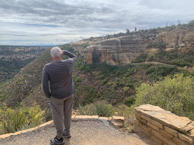
Dave looking at the Long House across the way, it was closed for remodeling.
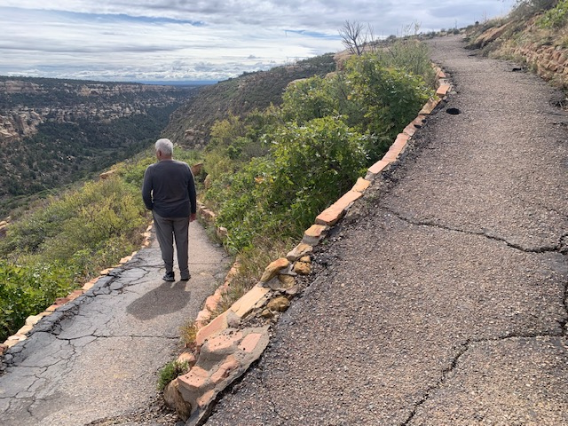
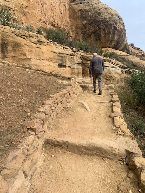
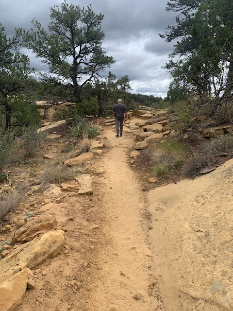
The path we took to the Step House.
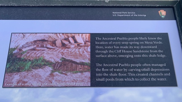
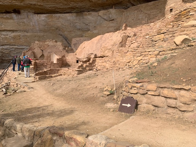
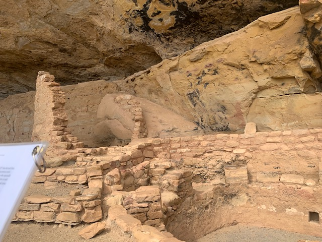
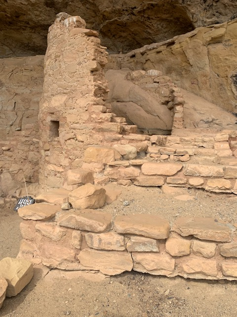
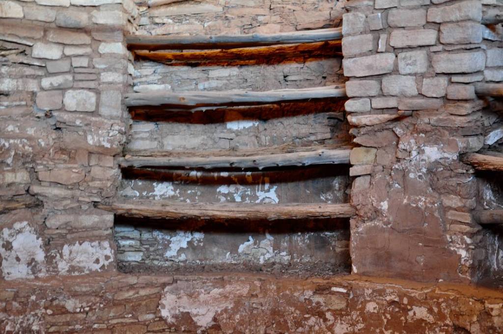
The picture on the right is an old access way of the alcove reveals the steps that gave this site its name.
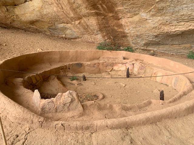
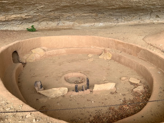
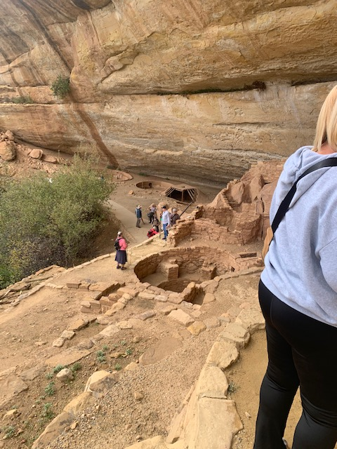
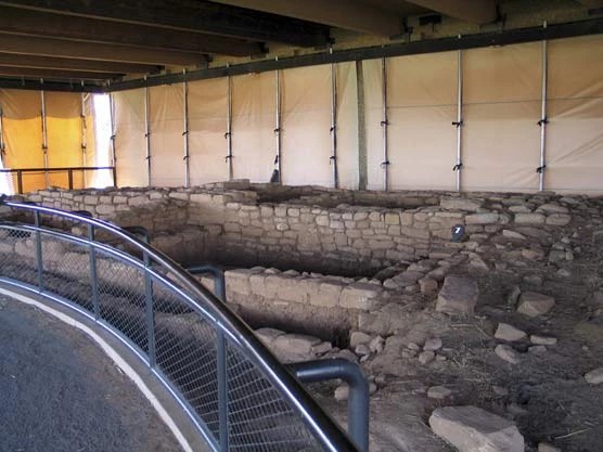
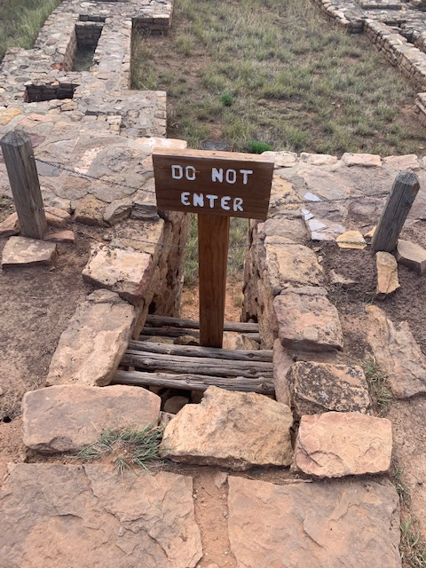
Two of the 3 kivas.
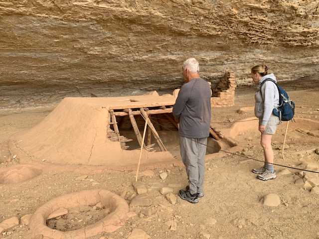
Covered Kiva Area
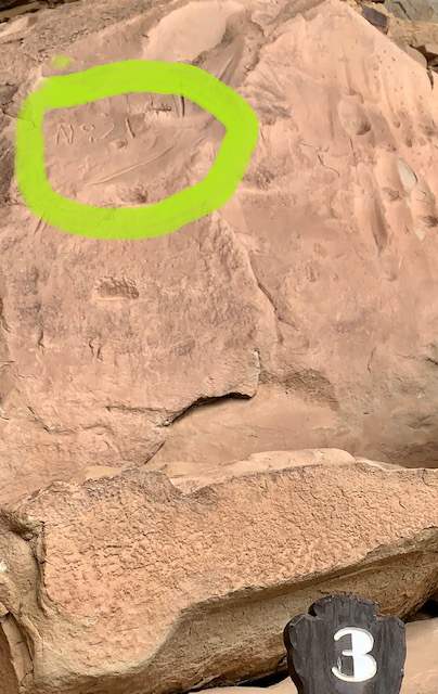
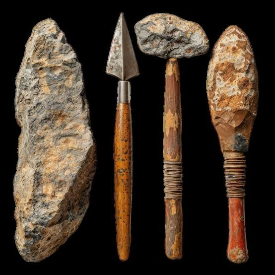
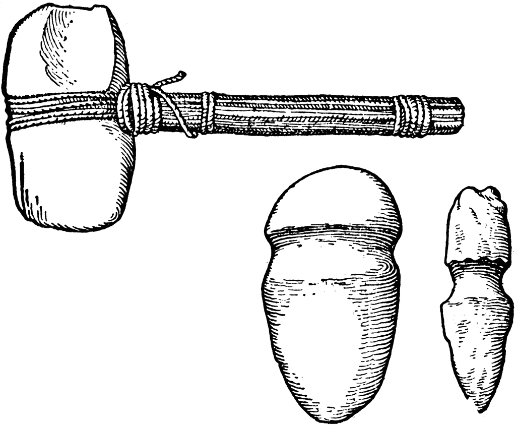
In 1891, Gustaf Nordenskiöld inscribed “No 21” into the rock here, his site number for Step House. Also look for deep grooves worn into the same rockface. The grooves were made by residents who repeatedly sharpened and shaped their stone tools. These people were experts at mak ing tools of all kinds from local stone: axes, knives, spear points and arrow points, choppers, hammers, scrapers, grinders, and more.
Fun climbing the ladder.
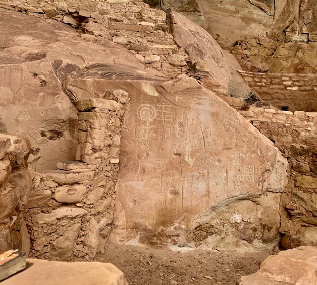
More Petroglyphs in the 1st picture.
Dave walking up another level.
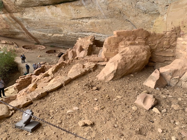
Step House is a unique archeological site because it shows evidence of two earlier times in their civilization’s history when the Ancestral Pubeloans constructed homes in the shelter of cliffs. The first development, built in the early 600s, consists of six pit houses built partially underground. In the same alcove is an above-ground masonry pueblo constructed in the 1200s. The pueblo has 27 rooms and three kivas, or ceremonial rooms.
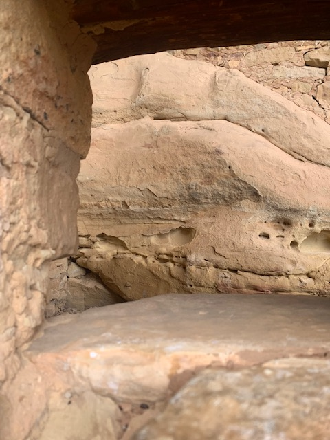
It was an amazing place. It was neat to be in a Cliff Dwelling and see the different levels and all the rooms. You realize how high they were up and how they went down and all around the valley below.
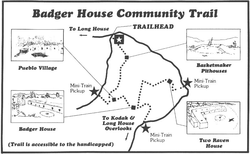
We took the 2.5 mile around trip trail from the Step House to The Badger house Community.
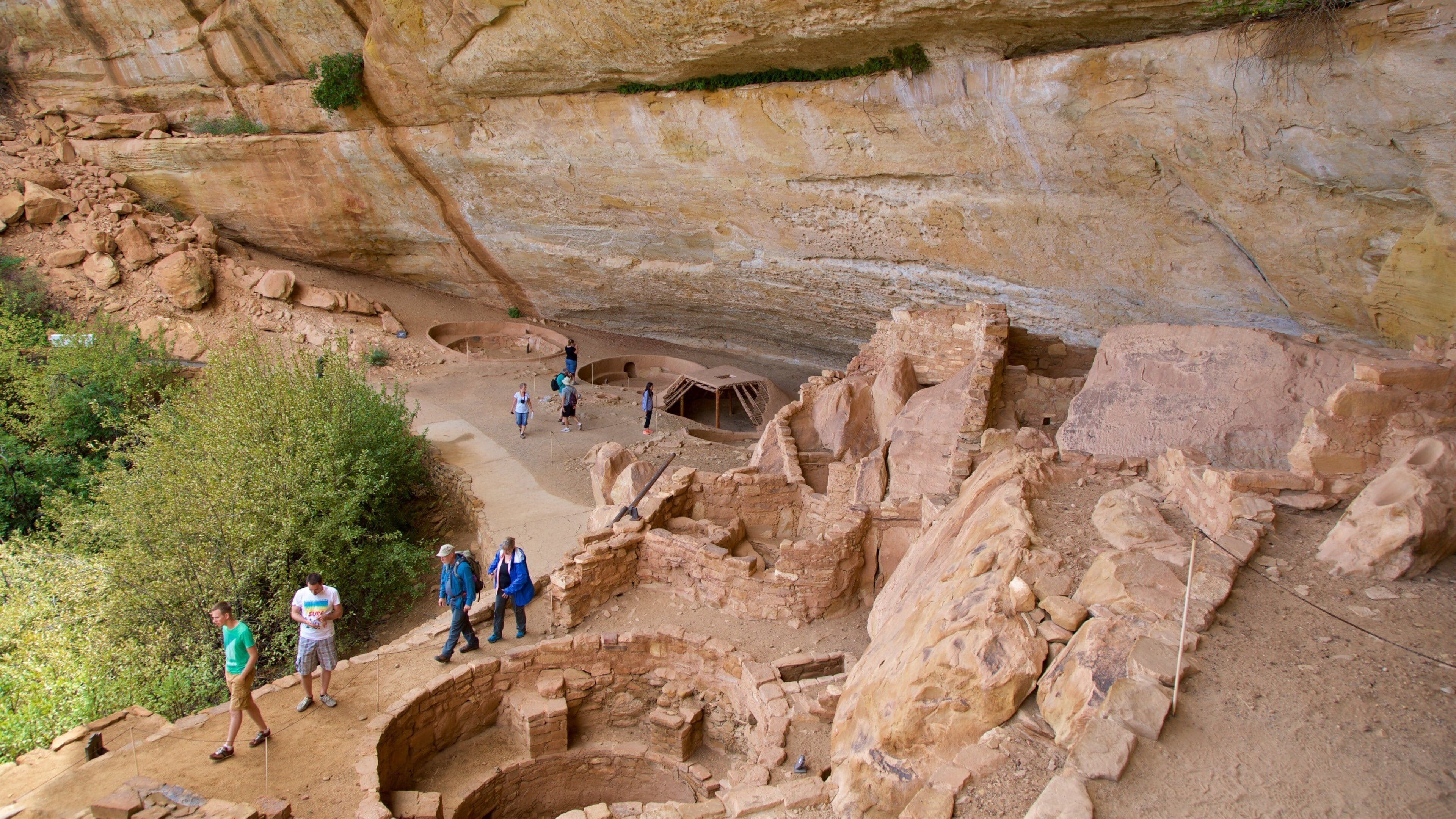
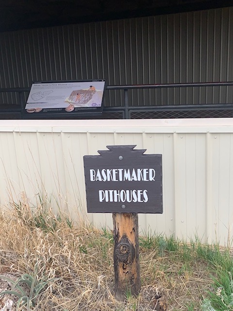
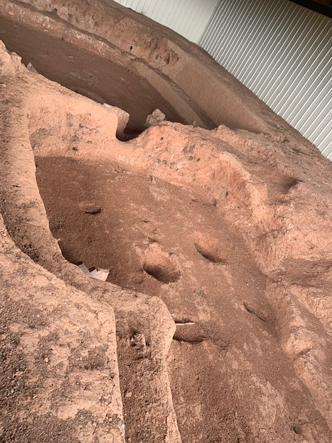
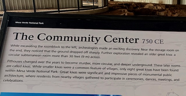
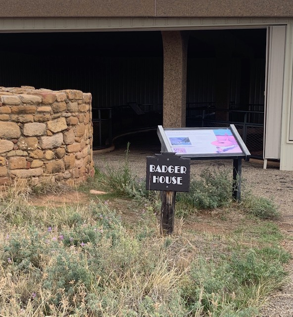
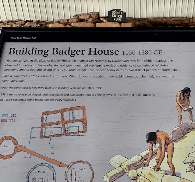
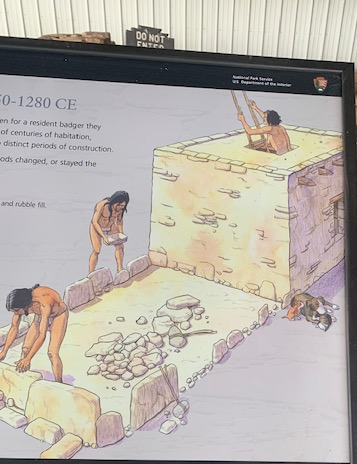
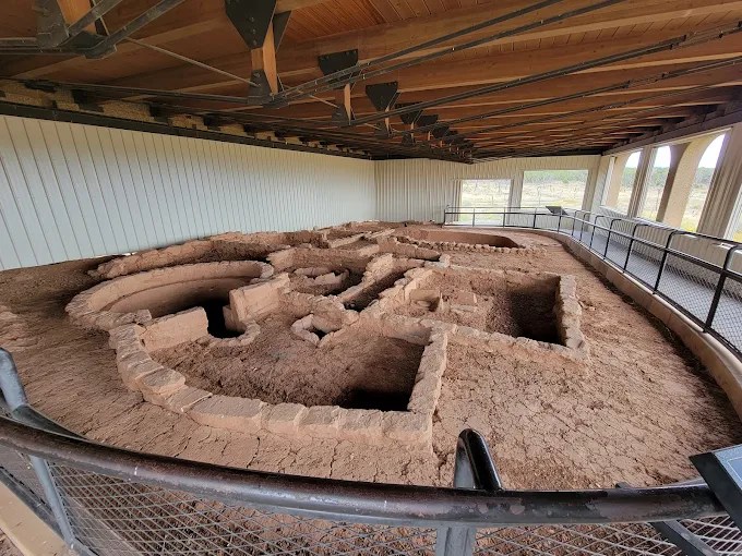
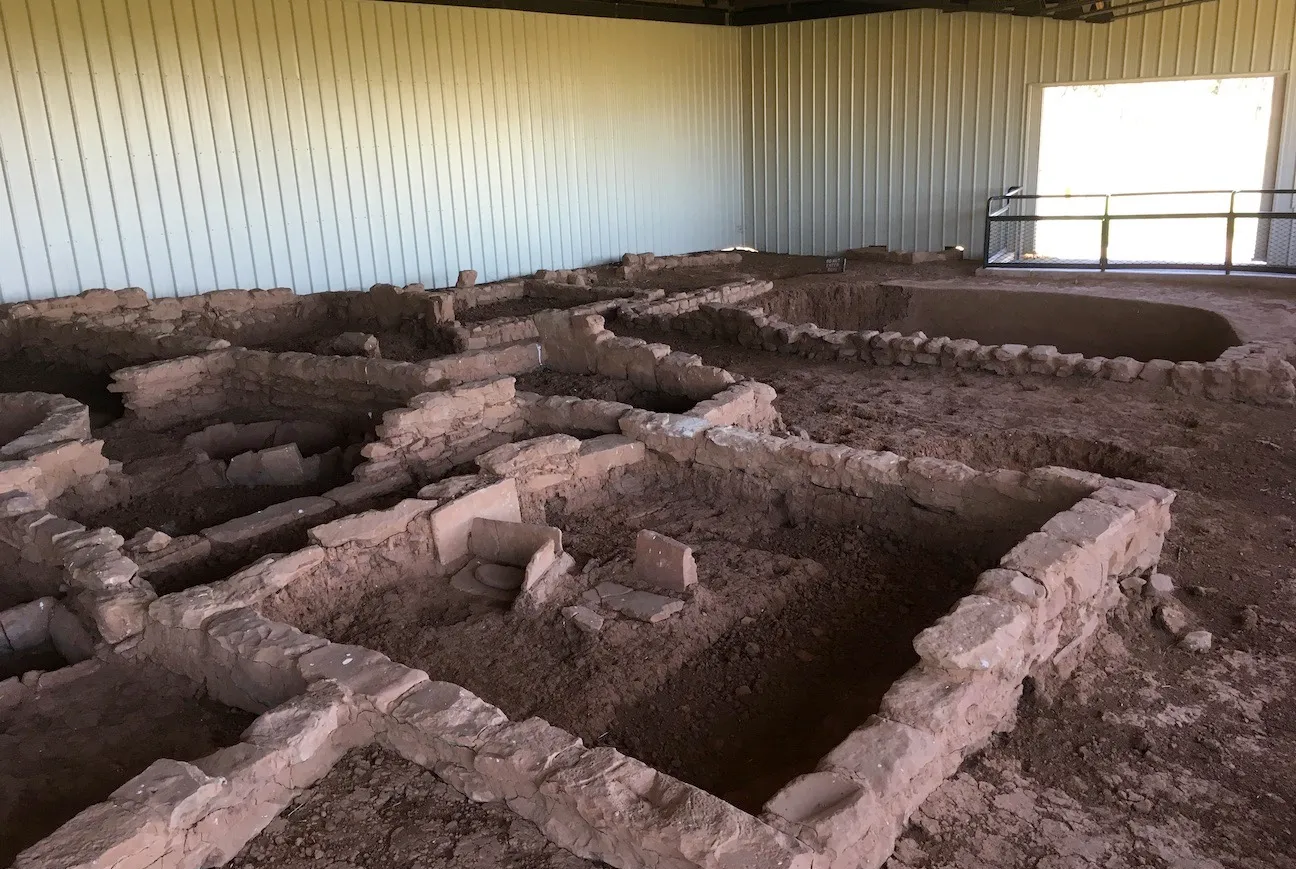
The Badger House Community has displays of 600 years of Ancestral Puebloan building styles from A.D. 650 to the late 1200s.The Community consists of four sites along a paved and graveled walking trail, a Modified Basketmaker Pithouse, A Developmental Pueblo village, Badger House, and Two Raven House.
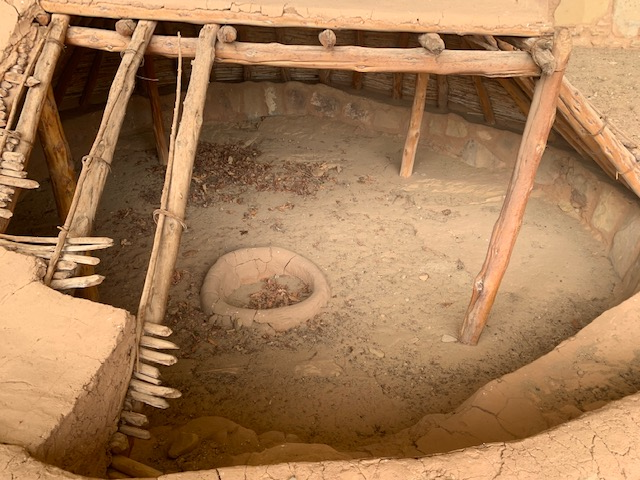
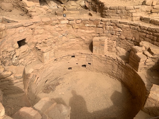
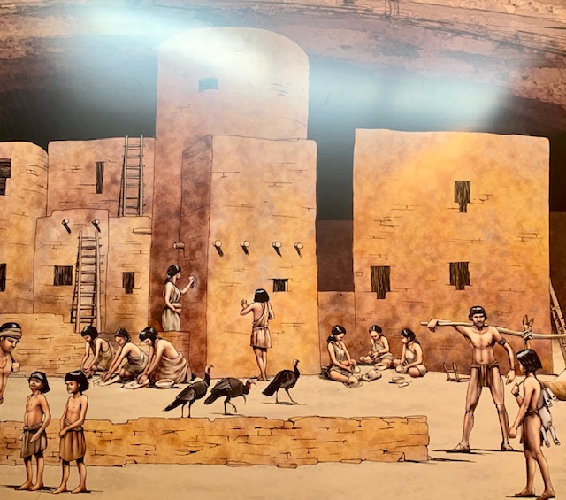
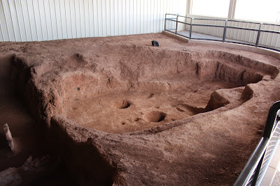
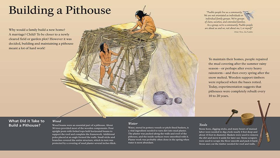
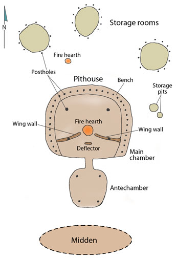
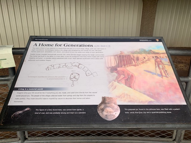
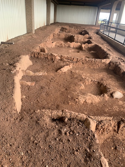
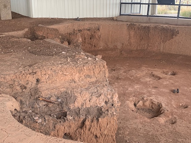
Mesa Verde’s First Homes. Pit houses are the first permanent buildings created by the Ancestral Puebloans during the Basketmaker III period (about 500–750) The Basketmaker people lived in these semi-buried homes to benefit from the earth’s natural insulation. The homes were dug roughly 3 feet deep into the ground. This design kept the interior warm during freezing winters and cool during hot summers
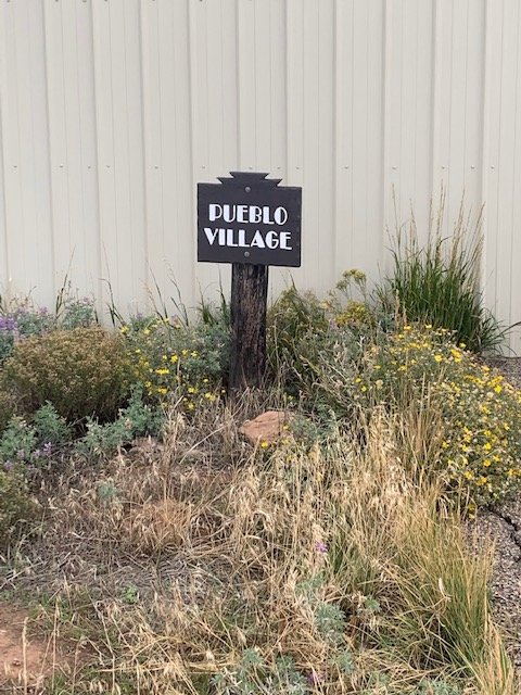
Heading to the Pueblo Village.
The Pueblo Village is a group showing the shift from underground pithouses to above-ground masonry rooms and early kivas.
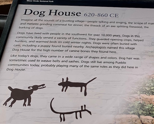
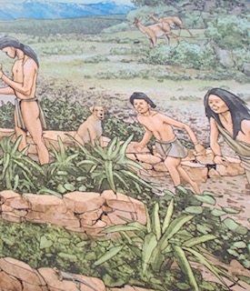
Yes, they even had ancient Pueblo Dog Houses. Archaeologists frequently uncover careful, intentional burials of dogs within or near ancient Pueblo sites (such as kivas and living areas), indicating they were kept as cherished companions and pets rather than just working animals. Dogs served as versatile trackers, hunters, guardians, and general camp helpers across the Southwest.
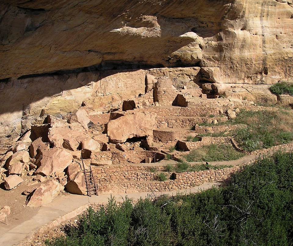
The Badger Room is a multi-room mesa-top pueblo inhabited during the later periods of the mesa’s ccupation.
Towers and Tunnels:
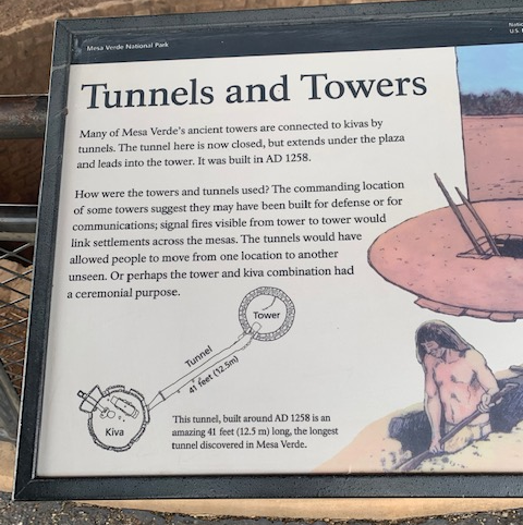
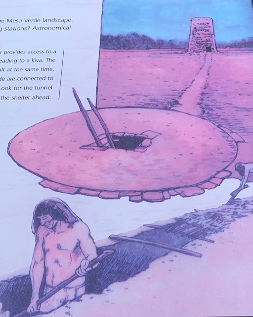
Badger House includes the foundations of an ancient stone tower. A 41-foot long tunnel connects a hatchway in the floor of the tower to an opening in the wall of a ceremonial kiva (pit structure). This underground passage is recognized as thelongest tunnel discovered in the American Southwest.
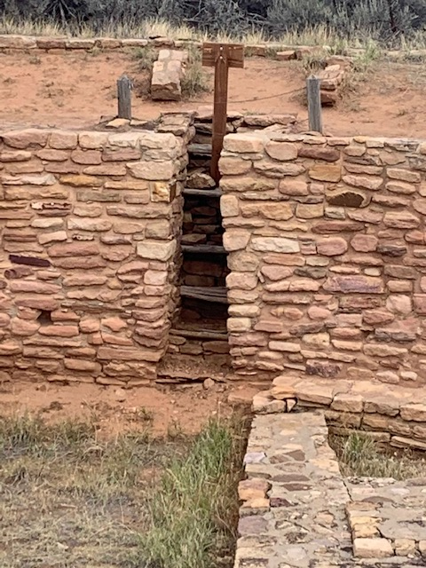
The hatch on the bottom to get into the tunnel,
The tunnel leads to this tower.
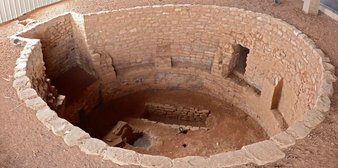
This Dwelling was also their Kiva.
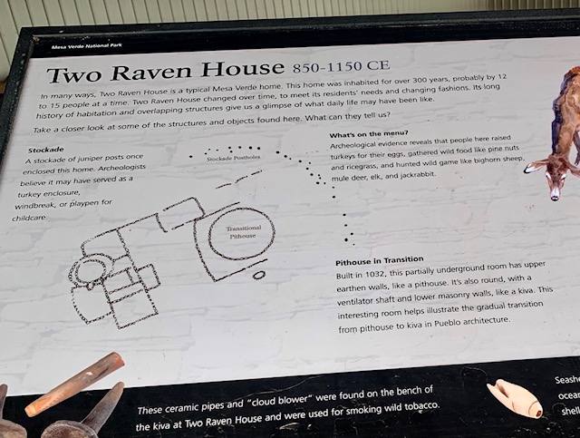
Two Raven House
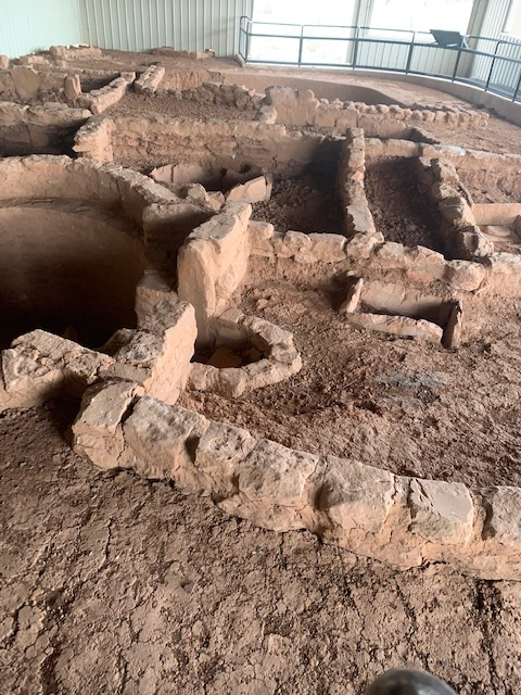
A single-story pueblo with lower-profile rooms and a noticeably small kiva.
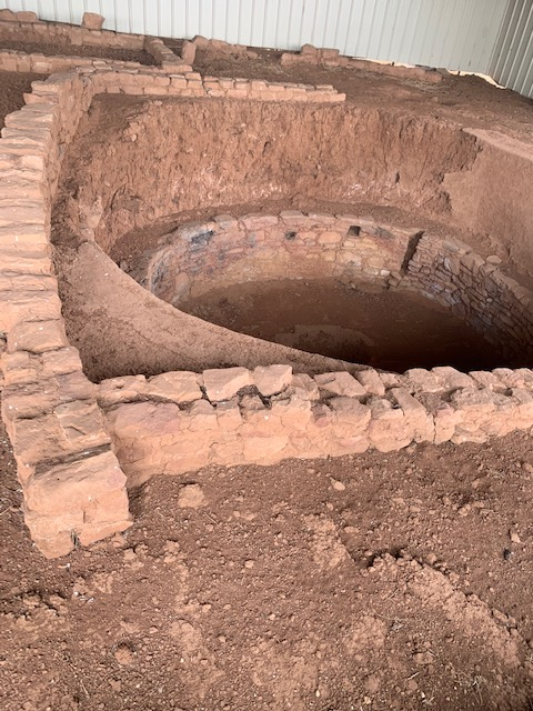
Small kiva and rectangular rooms are in the Two Raven House.
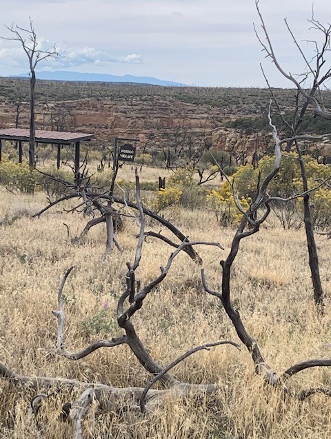
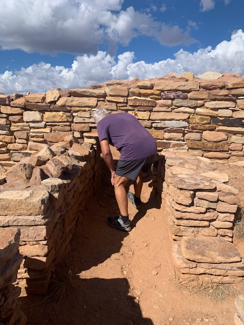
We believe that their Pubeloan Ancestors we’re incredible people. Especially since we learned about their history and lifestyle. It’s really something to see how they built their homes and see the intricate stone masonry used and the primitive tools that were used to build it. They even dug tunnels!
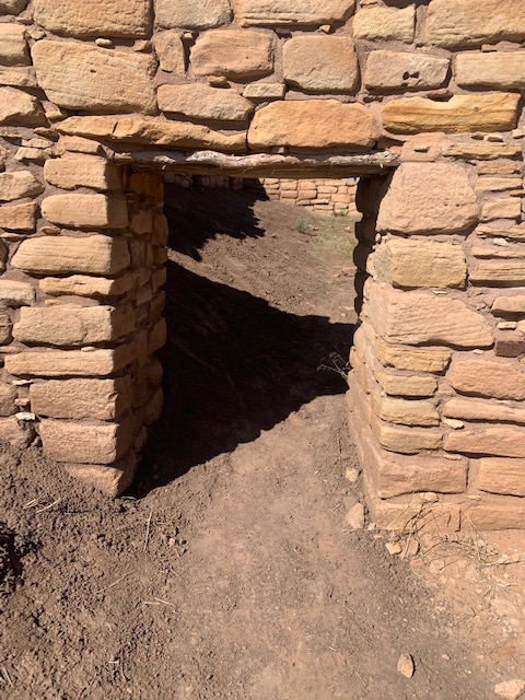
There was a sense of closeness, as the how tight and narrow the spaces feel, making it hard to imagine daily family life right next to the stone walls. But we learned that was because doorways and rooms were built small to keep out the cold winter winds and hold in body heat. It also made it cooler in the summer.
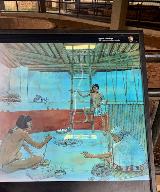
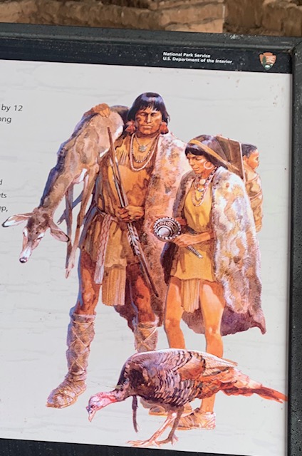
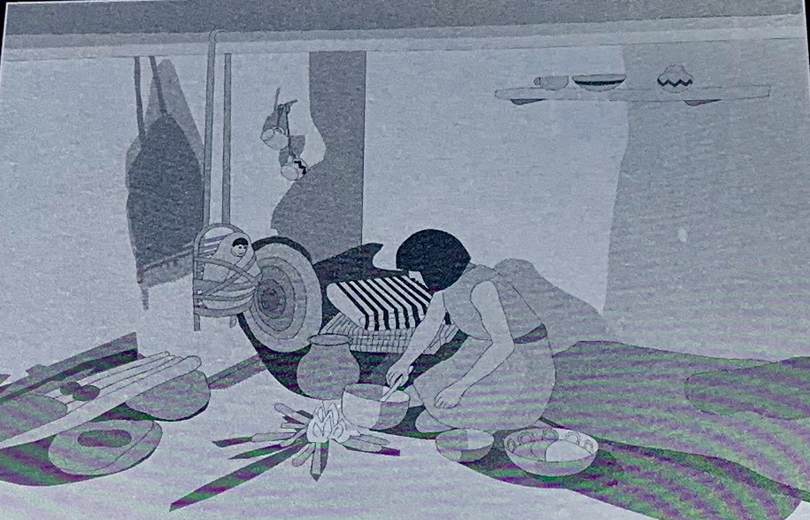
Their storage and sleeping rooms were mainly used for sleeping and storing corn and squash, while most daily cooking and socializing happened outside in the plazas.
We got our questions answered about how did they survive? What did they eat? For one, they engineered check dams, reservoirs, and terraced fields to capture and retain scarce seasonal rainfall and snowmelt. They successfully cultivated corn, beans, and squash (known as the “Three Sisters”) on mesas and near canyon floors.
Of course they hunted deer and elk but when large game like deer and elk became scarce due to hunting pressure and changing climate, they supplemented their diets by hunting rabbits, rodents, and birds.
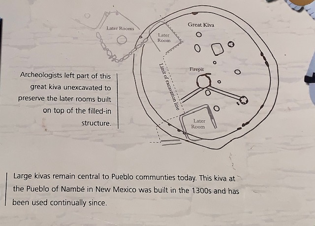
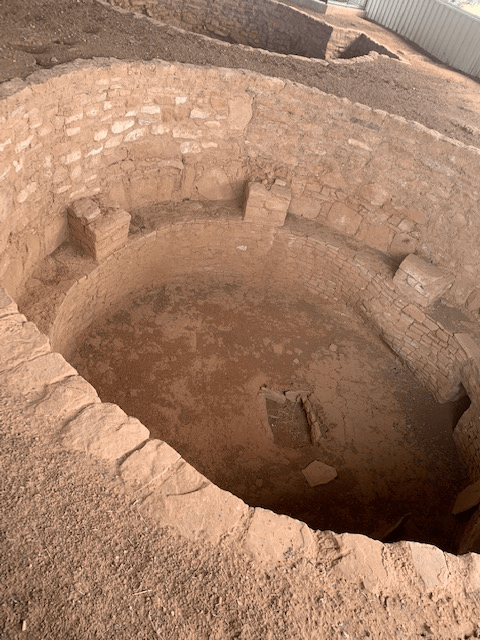
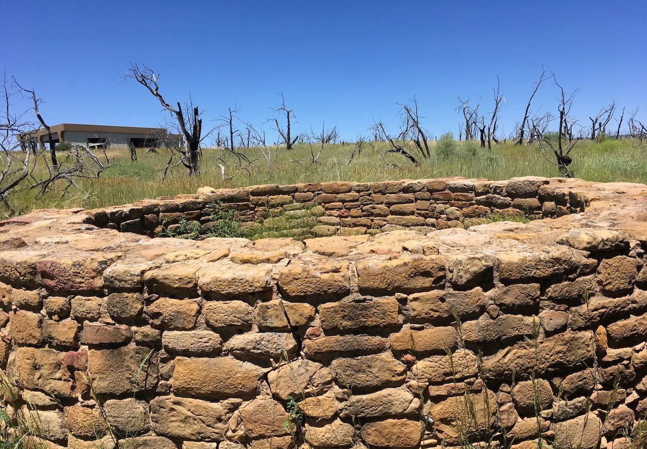
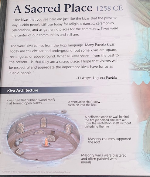
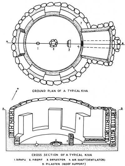
I liked learning about the Kiva’s, the circular underground rooms that were used for spiritual and ceremonial purposes by the Ancestral Pueblo people.
I always think if and how, I would have made it back then? But like people say, I wouldn’t have known any different.
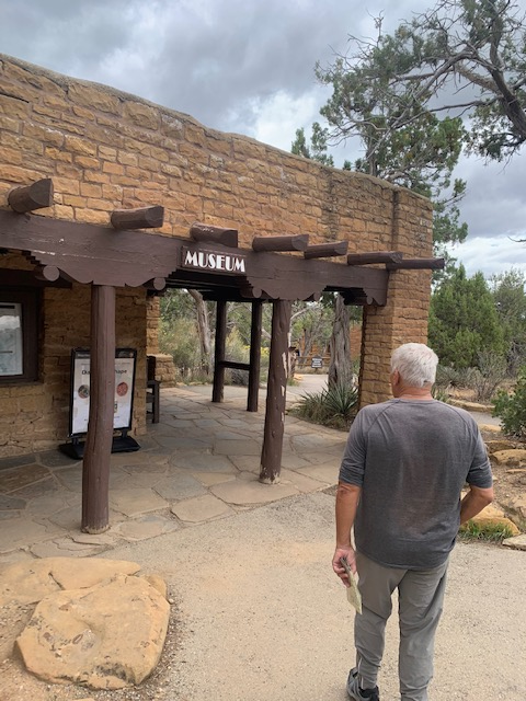
We then got into the truck and drove to the Chapin Mesa Archeological Museum
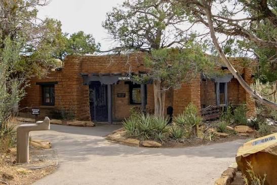
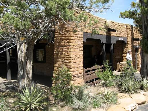
The Mesa Verde Museum is one of the oldest in the National Park Service. Constructed between 1922-25, it replaced a log cabin that had exhibited cultural items since 1917. Today, the Museum is part of the Mesa Verde Administrative District National Historic Landmark.
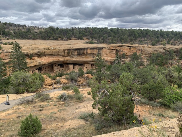
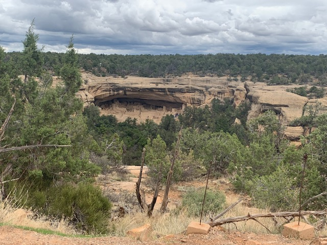
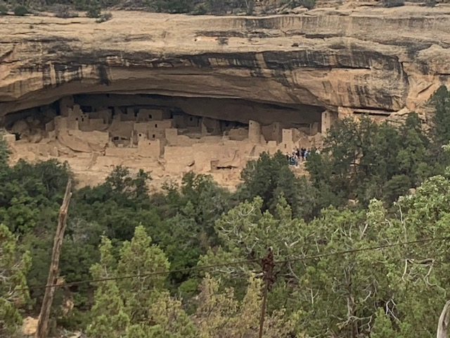
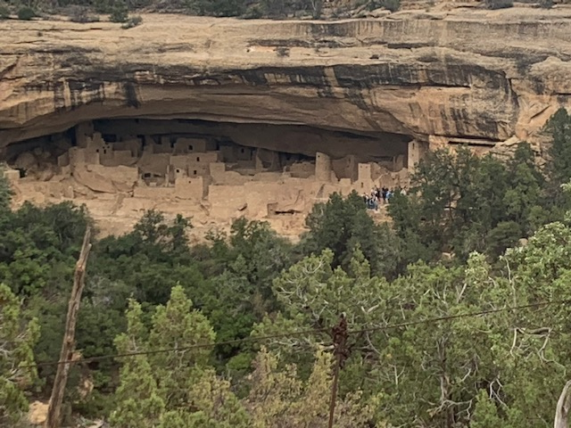
This is the third-largest cliff dwelling in the park was built by the Ancestral Pueblo people between 1211 and 1278.
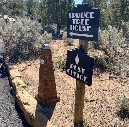
Ranchers Richard Wetherill and Charles Mason discovered the site in December 1888 while searching for cattle. Legend says they accessed it by climbing down a large Douglas spruce tree, which inspired its name
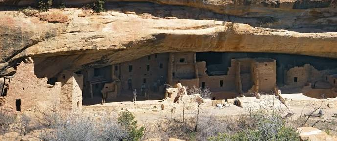
It is made by a massive natural sandstone alcove that protects the site, about 90% of the visible walls, wood, and plaster remain original, We’re they good or what? It is a crescent-shaped complex that features multi-story structures tucked tightly into the stone recess, including upper storage granaries accessible via hand-and-toe holds.
The site contains roughly 130 rooms and 8 ceremonial kivas, and it once housed 60 to 80 residents.
Truly an incredible ancient Cliff Dwelling.
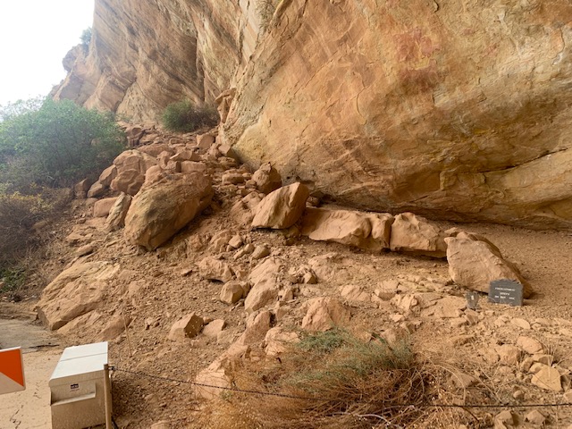
It was to bad that the direct-access trail to it remains closed indefinitely due to ongoing rockfall safety concerns and geotechnical assessments. In other words, there is a big, big crack in it somewhere. But it was still great seeing it from a far.
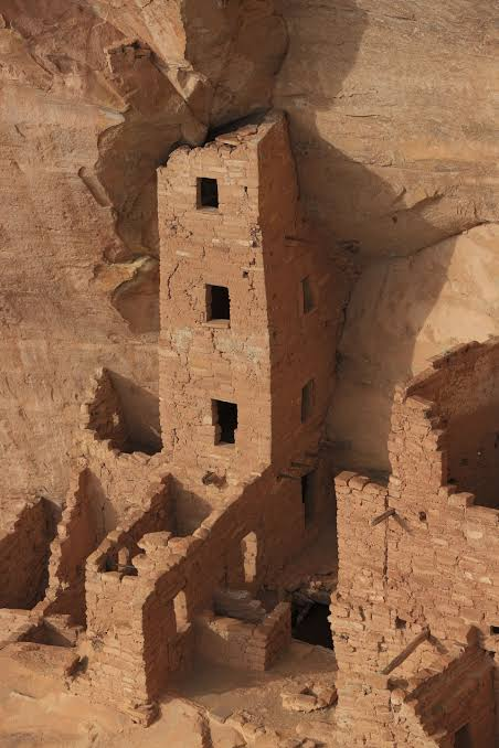
Square Tower House
With its four-story, 27-foot-tall tower, Square Tower House contains Mesa Verde National Park’s tallest standing structure. It’s one of the best-preserved cliff dwellings in the park, with an intact kiva roof and numerous examples of rock art. An impressive 90% of this village is original, including its roof beams and plaster walls.
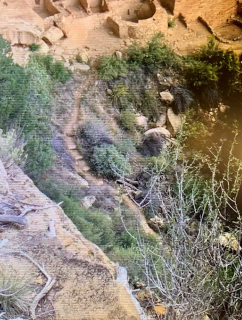
Check out the stairs they used.
This dwelling has elaborate decorations which suggests that the builders were not only concerned with meeting their basic needs, but also recognized the importance of art and beauty as essential components of a thriving community.
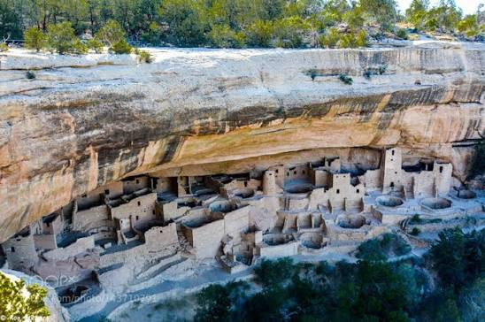
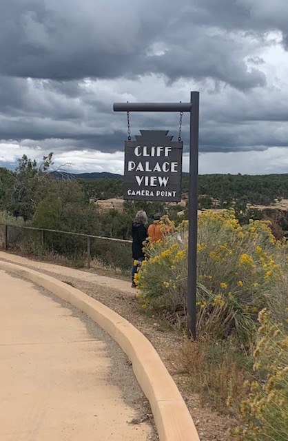
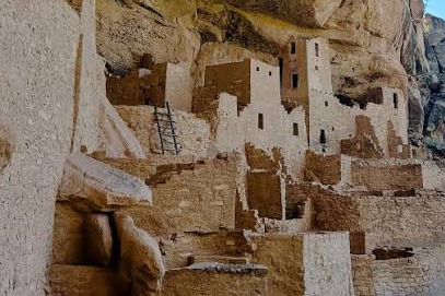
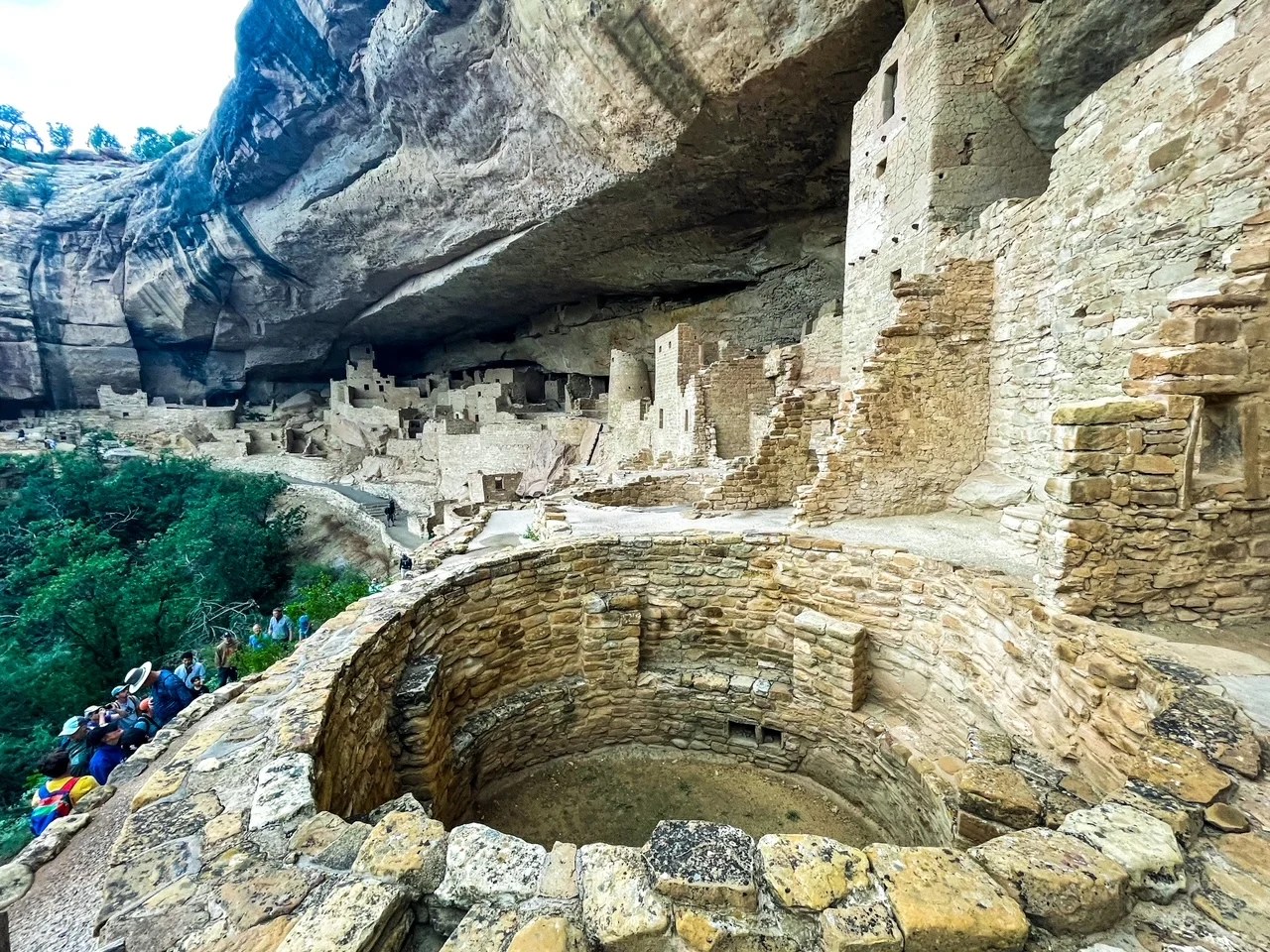
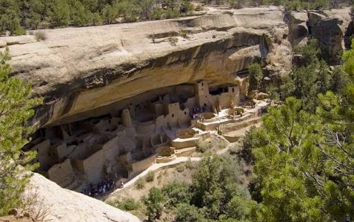
Cliff Palace is the largest cliff dwelling in North America. Built between 1190 and 1280 CE, Cliff Palace was home to about 100 people. Today, it stands as a testament to the engineering and artistic achievements of the Ancestral Pueblo people.
Sandstone, mortar and wooden beams were the three primary construction materials for the cliff dwellings. The Ancestral Pueblo people shaped each sandstone block using harder stones collected from nearby river beds. The mortar between the blocks is a mixture of local soil, water and ash. Fitted in the mortar are tiny pieces of stone called “chinking.” Chinking stones filled the gaps within the mortar and added structural stability to the walls. Over the surface of many walls, the people decorated with earthen plasters of pink, brown, red, yellow, or white — the first things to erode with time.
These multi-room sandstone complexes included living quarters with hearths and corn-grinding mealing bins, narrow granaries for food storage, and underground kivas reserved for ceremonies and communal gatherings.
They had elevated alcoves, sheer rock faces, and narrow access points that required removable ladders or specialized handholds that provided strategic protection against raids and allowed for easy surveillance.
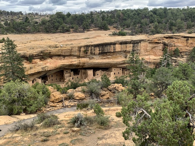
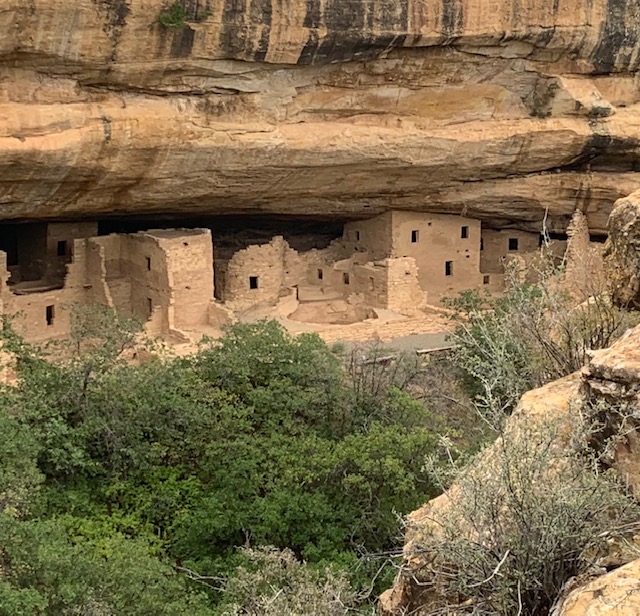
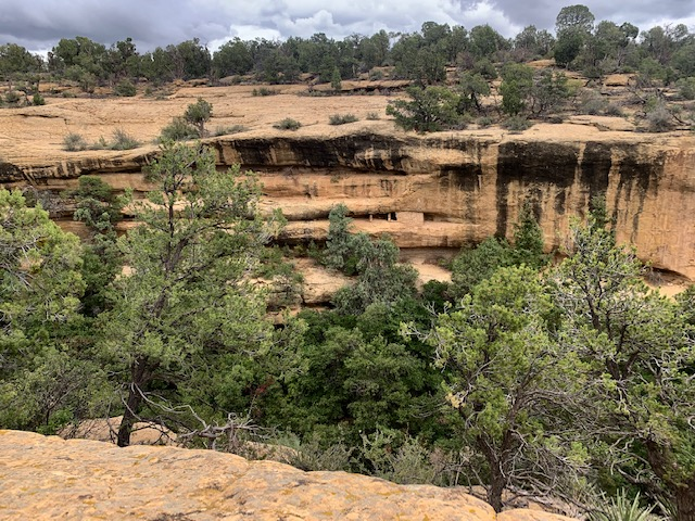
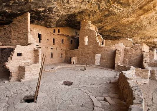
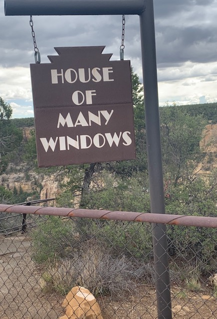
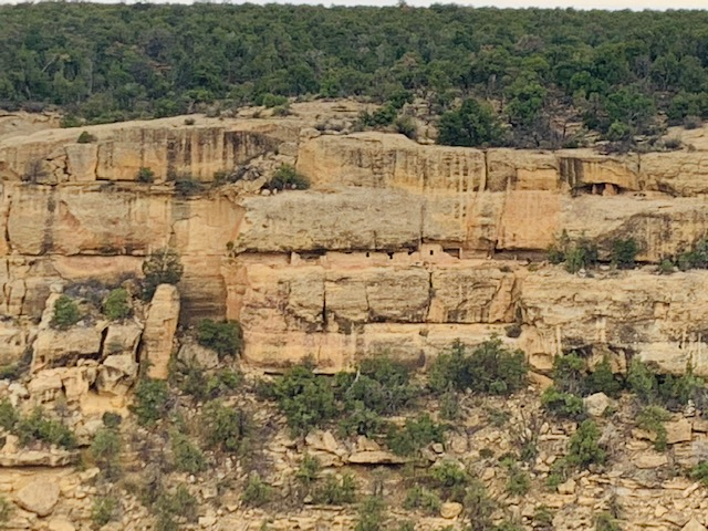
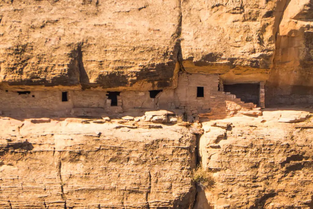
House of Many Windows is a small cliff dwelling perched on a ten-foot-wide ledge in Cliff Canyon. Its many windows are actually doorways into rooms made of hand-shaped sandstone rock. House of Many Windows is comprised of 15 rooms, and there is evidence of a kiva. This cliff dwelling might have been home to an Ancestral Pueblo family in the 1200s.
People compare their dwellings to forts or castles, I can see why with the many rooms, etc. that they have. Plus the physical challenge of navigating the steep ladders and rock trails they were all in good shape. We definitely learned a lot about these great people.
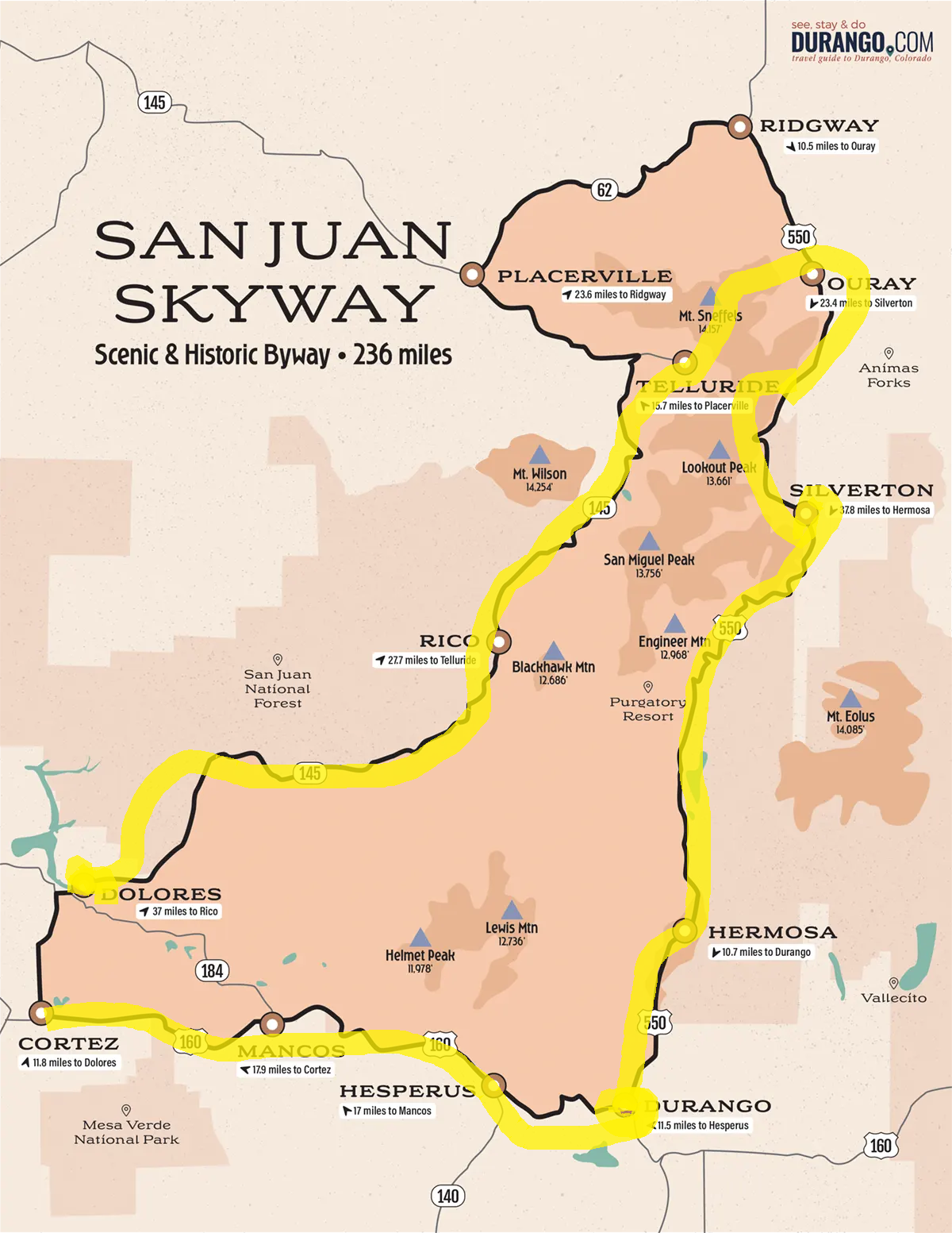
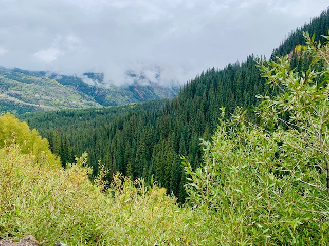
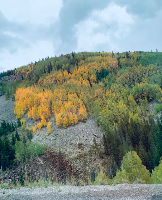
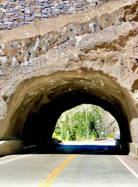
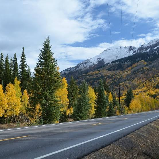
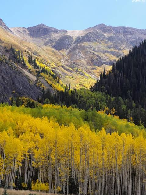
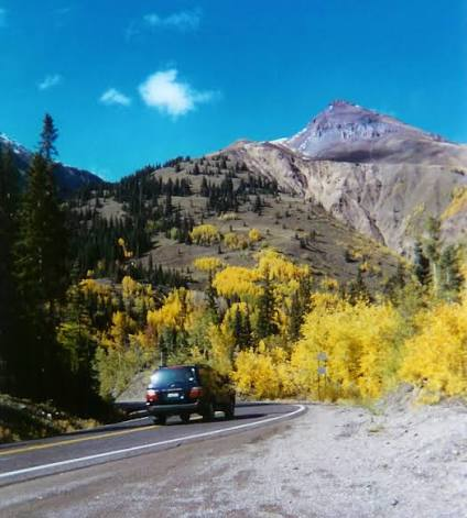
We left from Cortez and drove the San Juan Skyway, part of the Million Dollar Highway, acclaimed as one of “America’s Best Road Trips” by Travel and Leisure Magazine. And one of the most beautiful drives in America, and has been described in an Alamo Car Rental advertisement as a place “where the road touches the sky.”
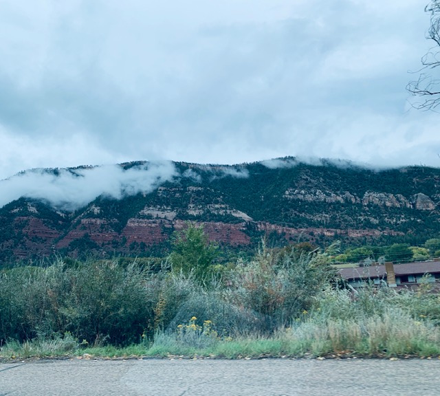
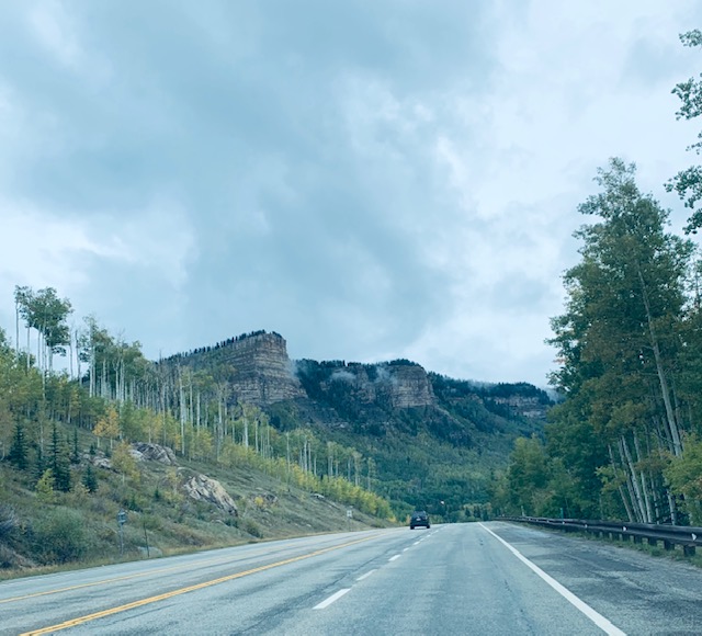
The 236-mile journey took us through Durango, Silverton, Ouray, Telluride, Rico and Dolores we saw awesome scenery including, peaks and valleys, historical towns, and dense forests that made the drive definitely worthwhile.
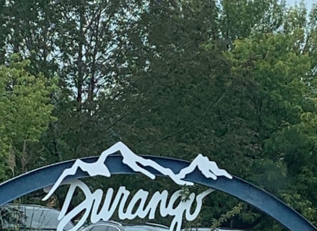
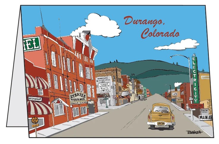
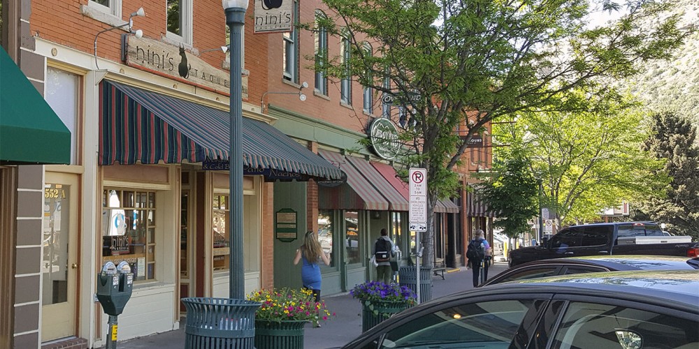
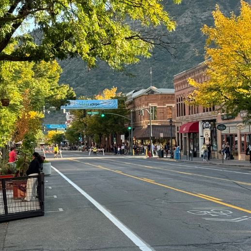
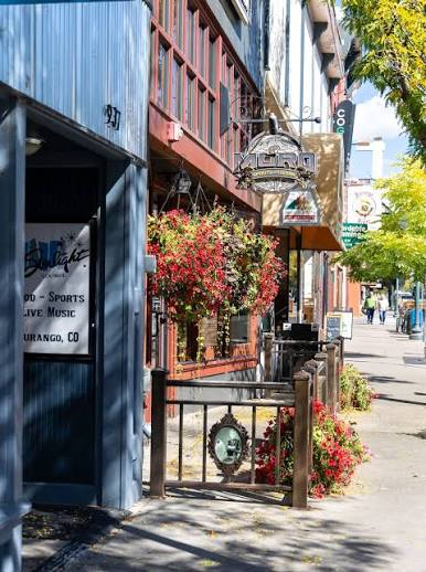
Our fist stop was in Durango, CO.
It was founded in September 1880 by the Denver & Rio Grande Railroad.
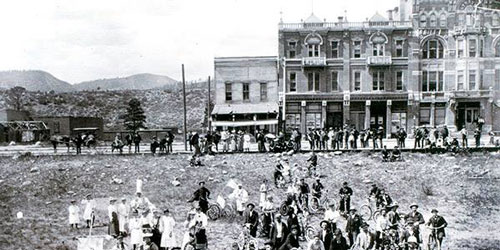
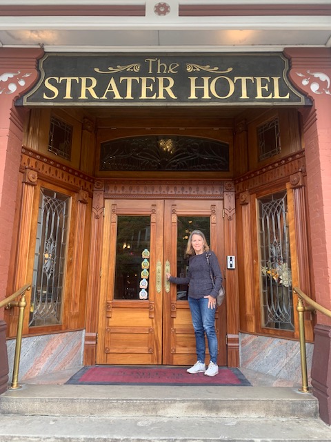
A very historic town that the late 1880s brought rapid growth, electric lights, and iconic landmarks like the historic Strater Hotel.
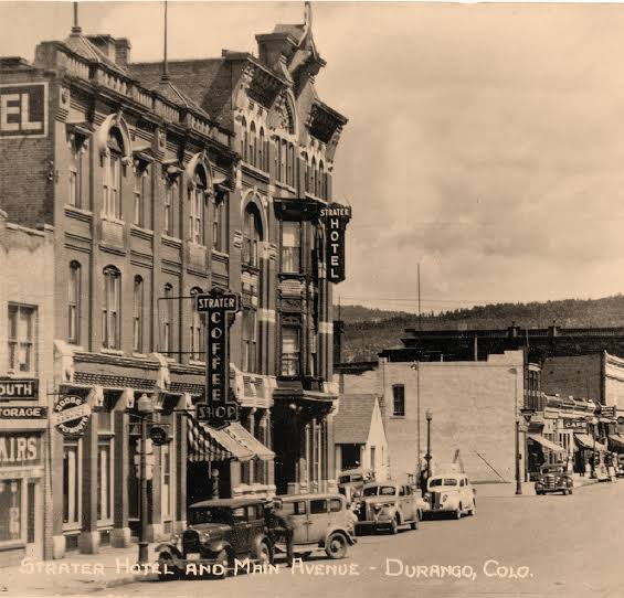
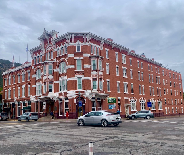
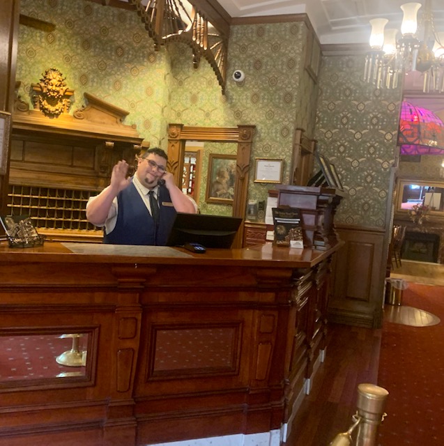
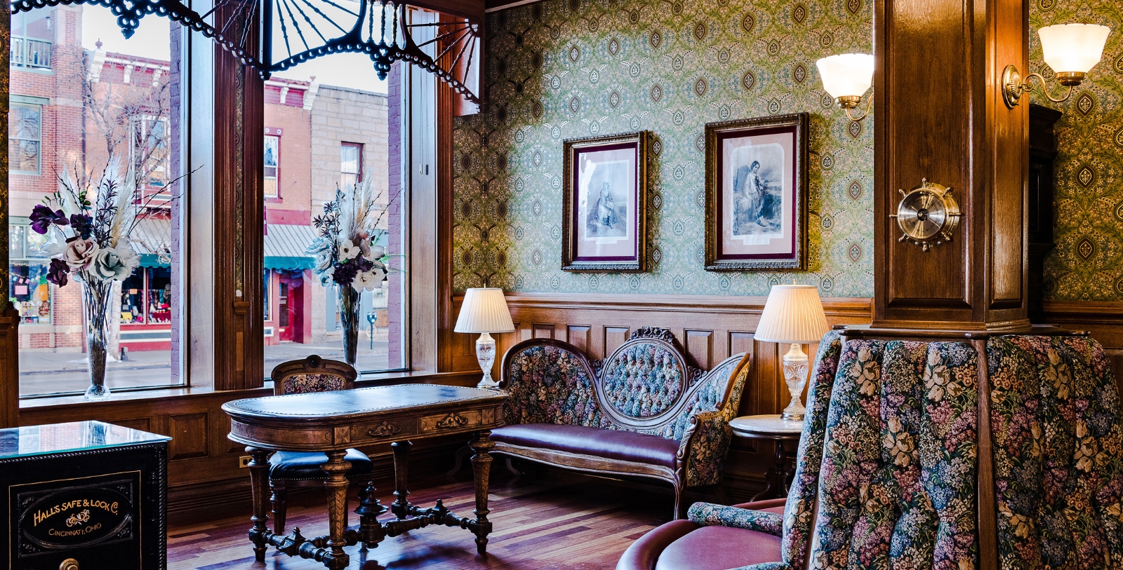
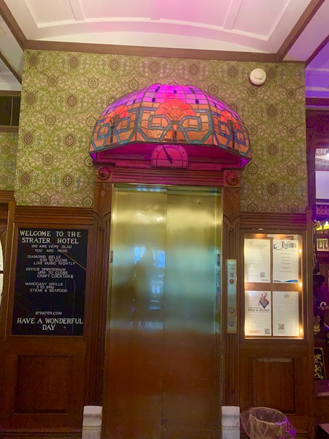
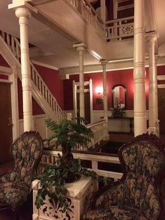
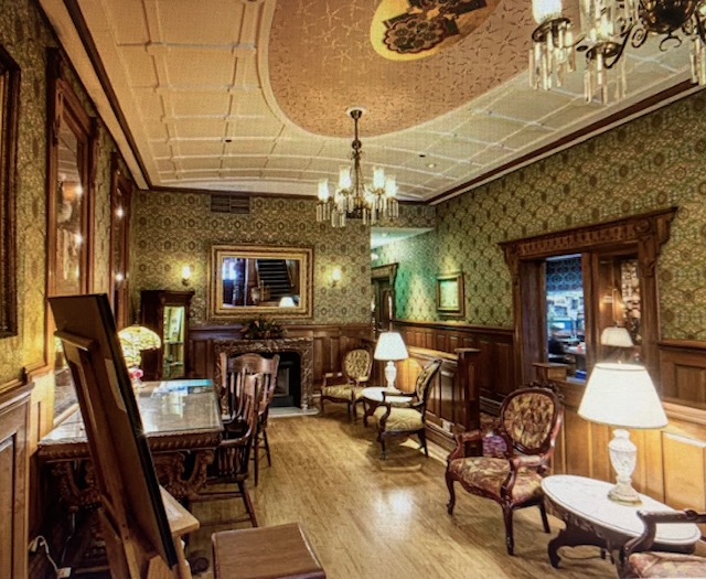
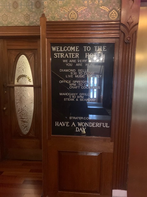
The historic Strater Hotel (Historic Hotel of America Founding Member) is one of the West’s iconic hotels and a prominent downtown Durango, Colorado landmark. The hotel is in the heart of the San Juan Mountains and the San Juan Scenic Skyway. The Strater Hotel has beautiful handcrafted woodwork, period wallpaper, and the largest collection of American Victorian walnut antiques which are used to decorate the hotel and guestrooms.
The hotel was originally built by the Strater family, who moved to Durango from Cleveland between 1880 and 1881. The hotel was the project of Henry Strater, a pharmacist who rallied his brothers and father to help construct the hotel in 1887 at the cost of $70,000. Strater kept his pharmacy in the corner of the hotel, while delegating the management to H. L. Rice, who elevated the social scene at the hotel. Strater eventually opened up a rival Columbian Hotel after he became furious at the high rents that Rice was charging him for the pharmacy located in the corner of the Strater hotel.
The hotel went bankrupt in 1895 and During the roaring twenties a group of Durango businessmen, led by Earl A. Barker Sr., purchased the aging hotel in 1926. In 1981, Roderick Earl Barker returned to his home town to renovate and operate the hotel under the ownership of his family. Under his direction and later his ownership, the Strater Hotel was developed into one of the finest small hotels in the United States. It is now owned by Ross Garrett and family.
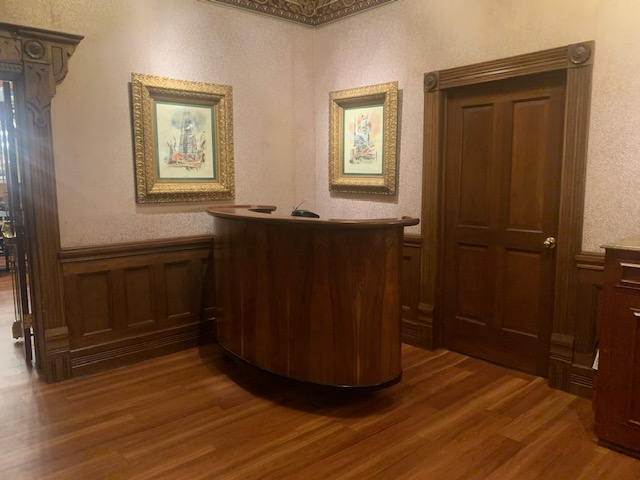
The hotel lobby has some hidden passageways and secret hiding places.
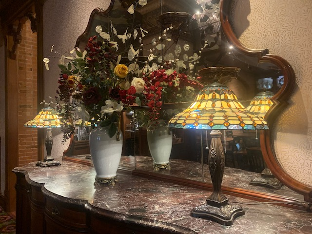
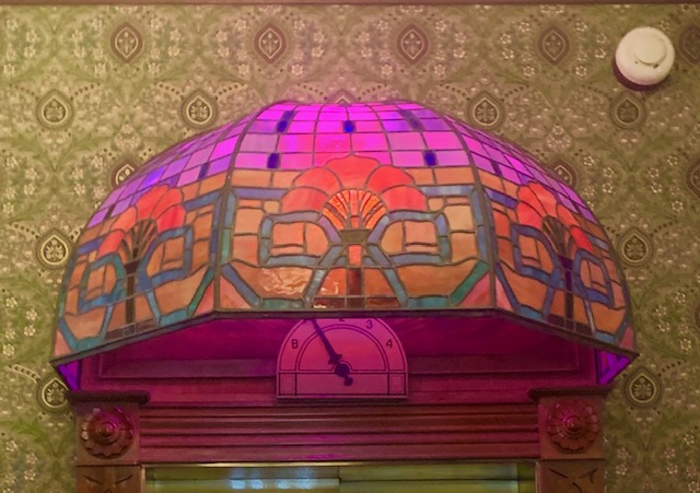
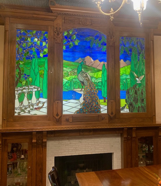
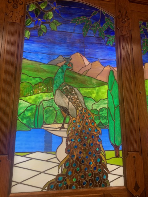
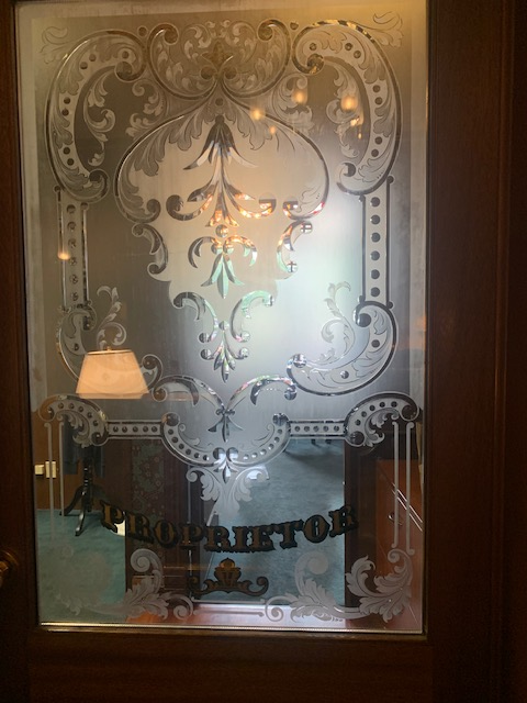
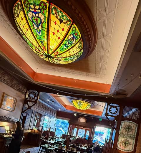
I love all this stain glass!
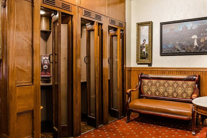
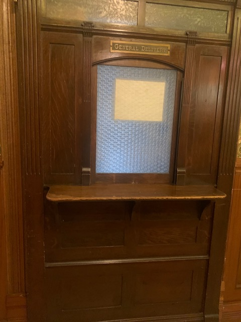
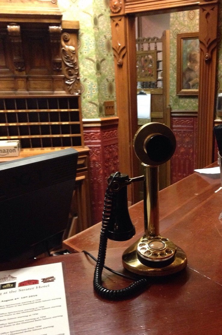
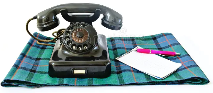
Of course they would have public telephones and mail service.
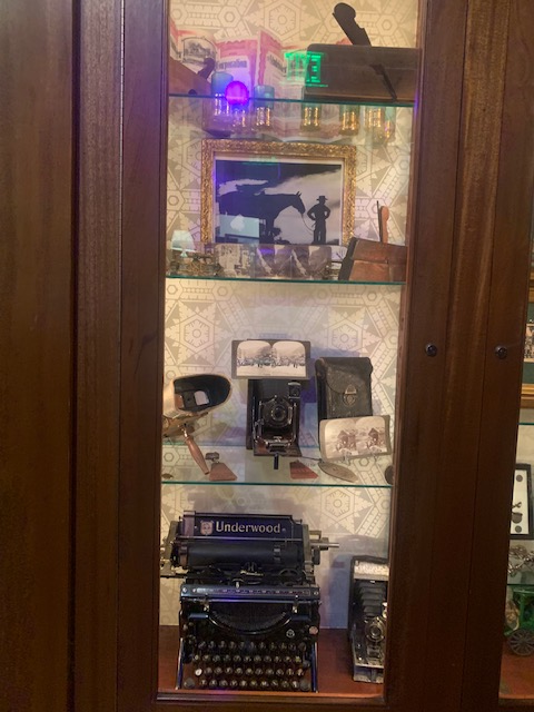
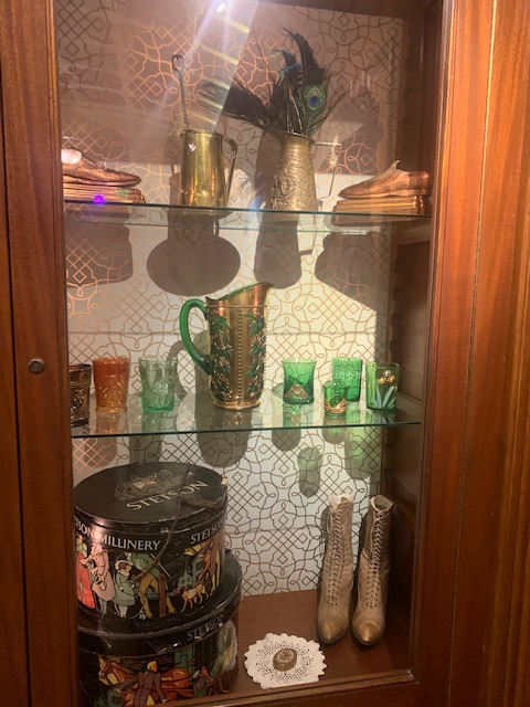
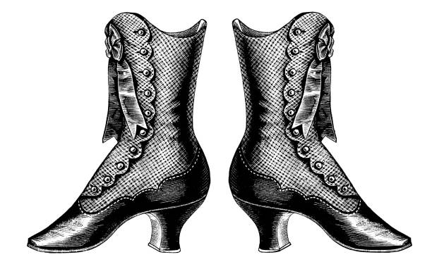
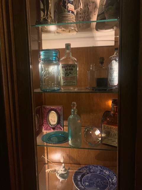
I love their cabinets with all the iconic items in them. Can you imagine typing on that typewriter or wearing those shoes?!
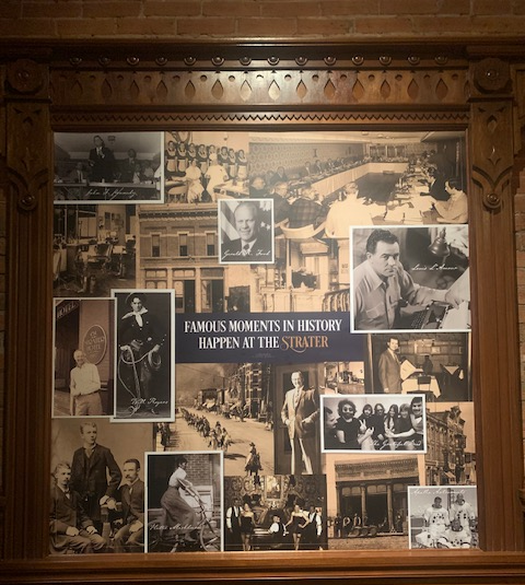
Among its notable guests throughout its history are President JF Kennedy, Gerald Ford, Will Rogers, the Grateful Dead and the astronauts from the Apollo Mission.
The following movies were filmed in Durango: Butch Cassidy and the Sundance Kid, City Slickers, Cliffhanger, National Lampoon’s Vacation, Night Passage, Around the World in Eighty Days, Ticket to Tomahawk, How the West Was Won, and Tracker. Plenty of older movies were also shot here.
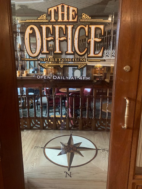
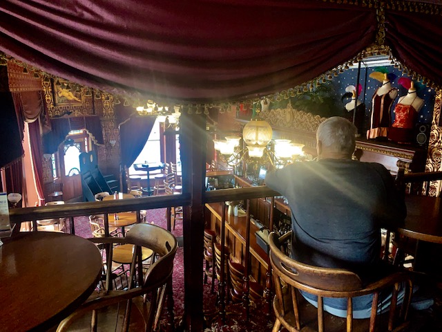
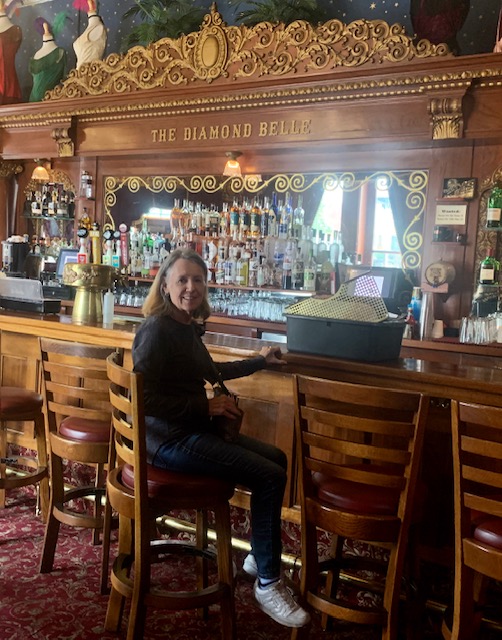
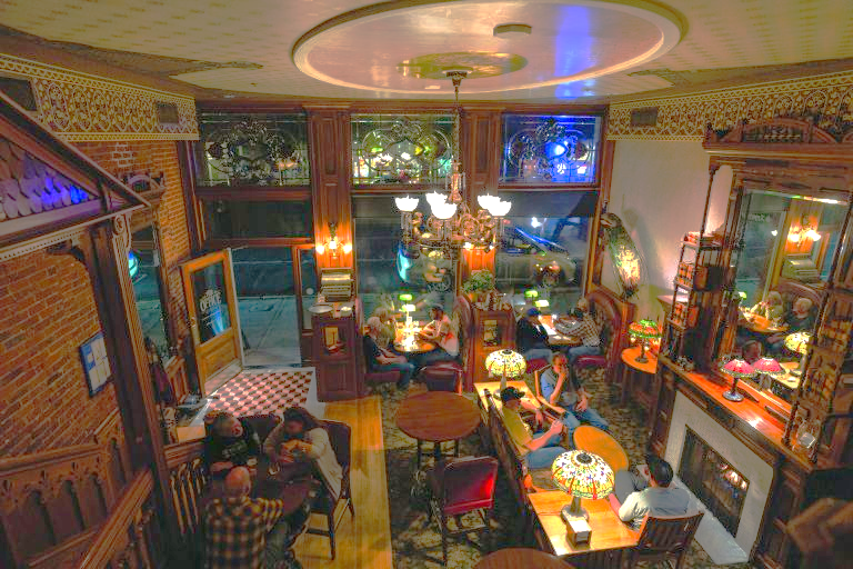
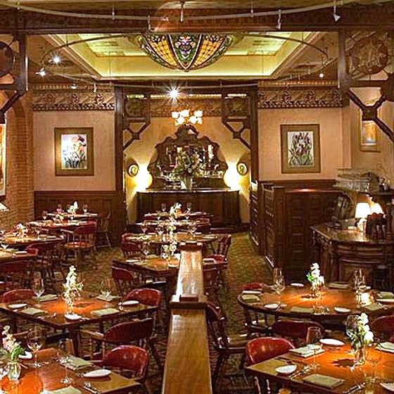
There are three restaurants in the hotel, The Diamond Belle, Office Spiritorium and Mahogany Grille.
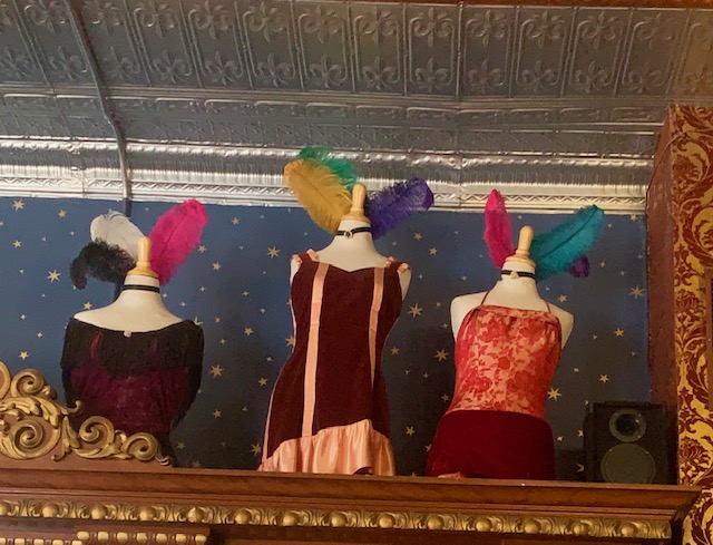
One is the Diamond Belle Saloon above. The hotel’s saloon girls and staff dress strictly in authenic, period-correct Victorian costumes (such as corseted lace-up dresses, bustles, and feathered headpieces) to maintain the authentic Old West atmosphere.
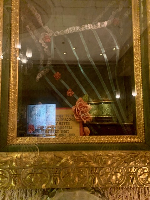
The ones below are from that period. The second picture is one that was worn by Jane Russell when she was here filming a western movie.
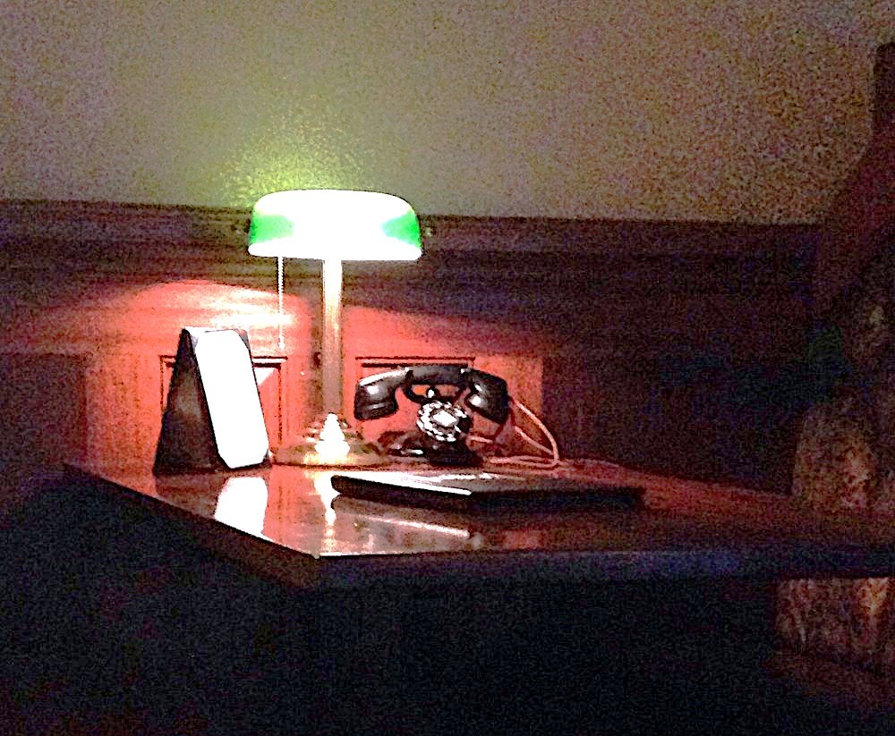
The Office Spiritorium Restaurant. Neat feature is they had phones at the tables, which are necessary to run an office.
The last restaurants is the Mahogany Grille.
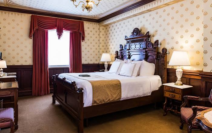
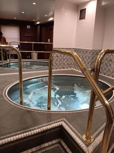
The bedrooms are very nice and they have hot tubs. In the era before indoor plumbing, the rooms’ washstands also housed the chamber pots, which were emptied each morning by the maids. The hotel also boasted a strategically designed three-story privy. I wouldn’t have wanted that job!
Durango and the Strater were just amazing, next time I’m in Durango, Colorado I’m going to stay at the Strater Hotel and eat at all three restaurants, we weren’t hungry this time around. And maybe go skiing.
Once again we’re on the San Juan Skyway.
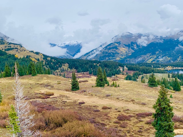
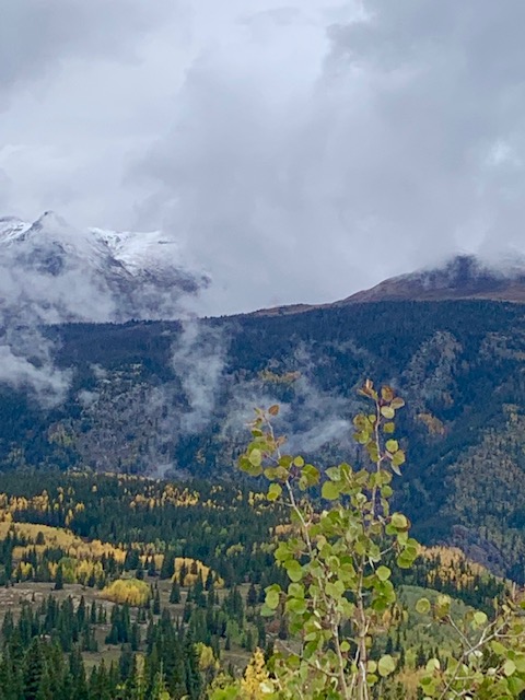
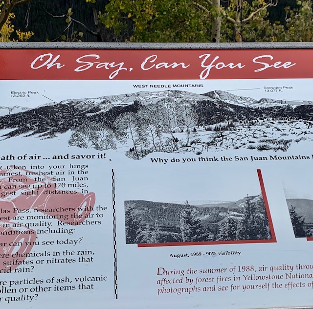
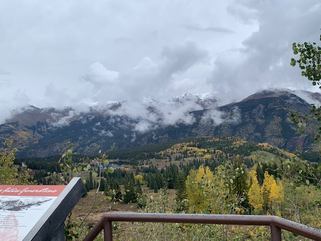
The San Juans are the largest and most rugged collection of mountain peaks in Colorado with thirteen of the peaks above 14,000 feet. The San Juan Skyway travels over four mountain passes and through two National Forests, San Juan, provides a view of many different climate zones. During the trip, the temperature will vary up to fifteen degrees between valleys and mountain tops will have changes in plants and animals at different elevations too.
The West Needle Mountains are in southwestern Colorado, south of Silverton and about 40 miles north of Durango, within the San Juan Mountains and National Forest.
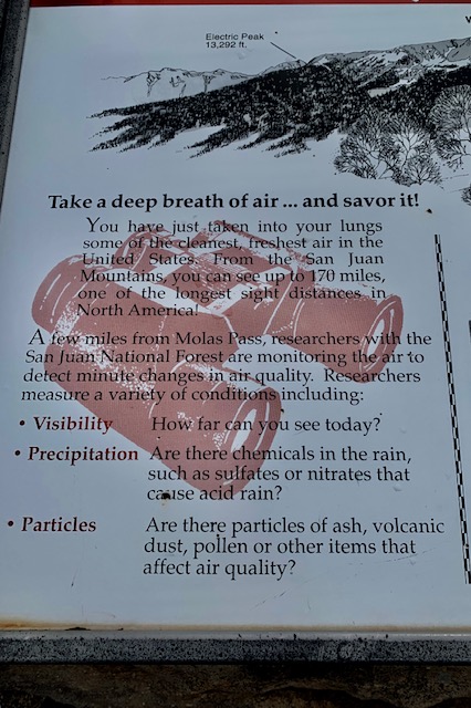
You can bet we took a few deep breaths.
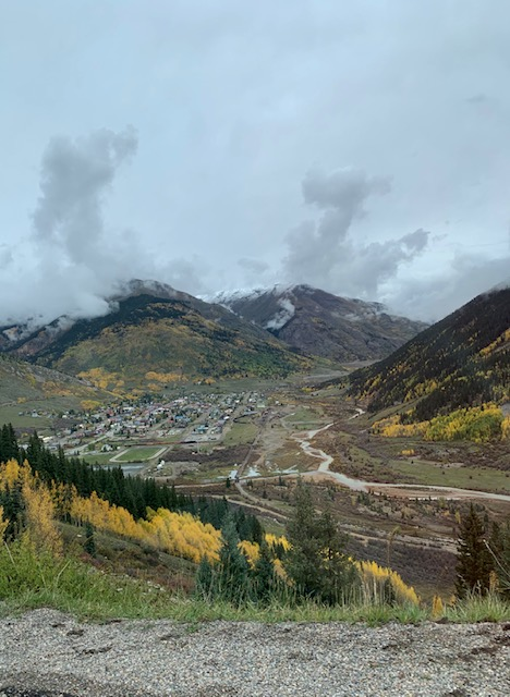
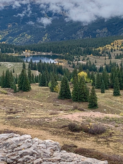
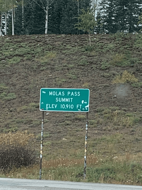
The Molas Pass is just before Silverton.
Silverton Mountain is the highest ski area in North America, with an elevation of 13,487 feet. Some of the runs include a 3,000 foot vertical drop, yikes!
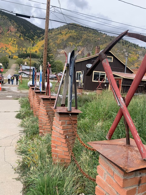
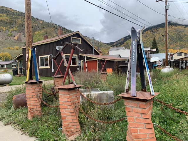
Great idea a fence with skis and tools!
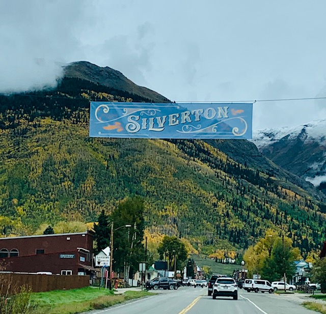
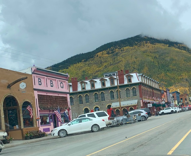
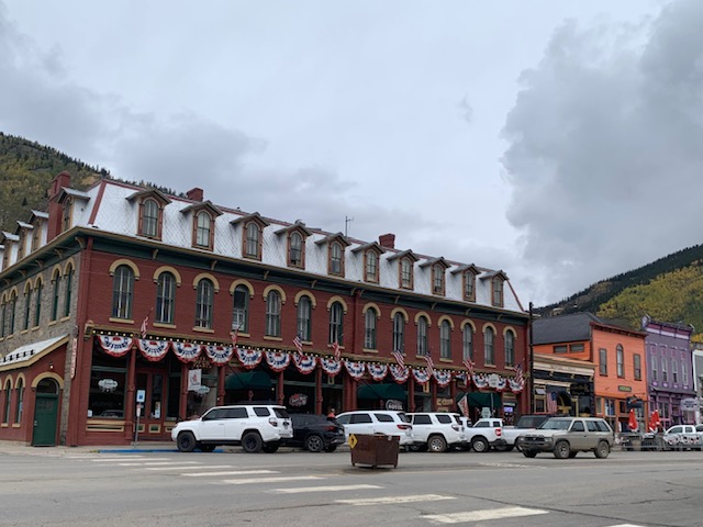
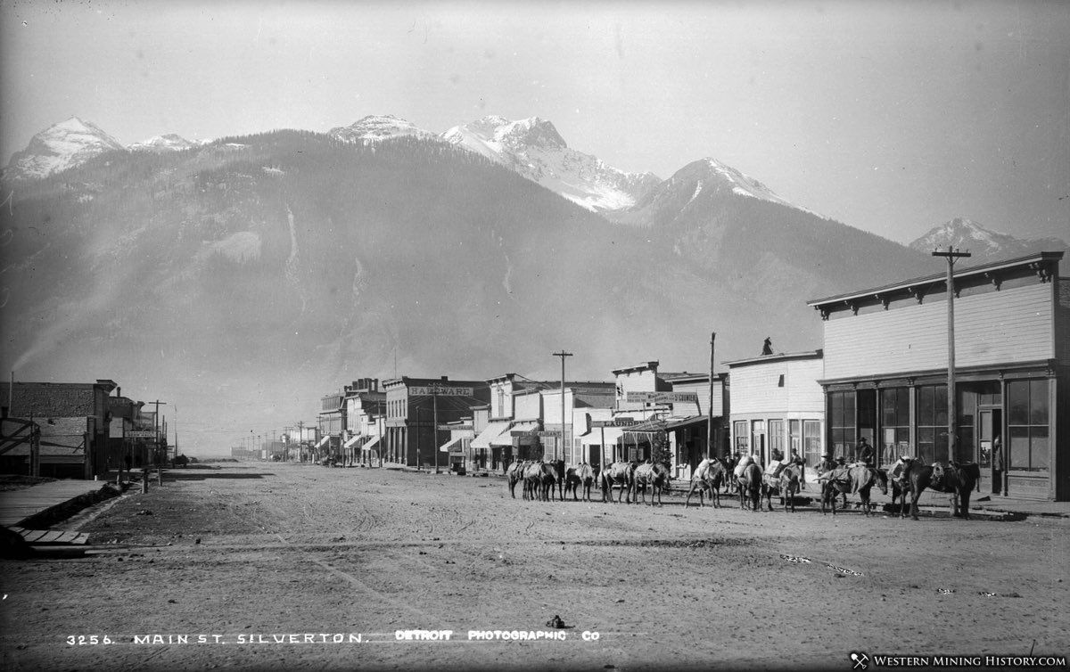
Silverton was founded by mining entrepreneurs William Kearnes, Dempsey Reese, and Thomas Blair in 1874.
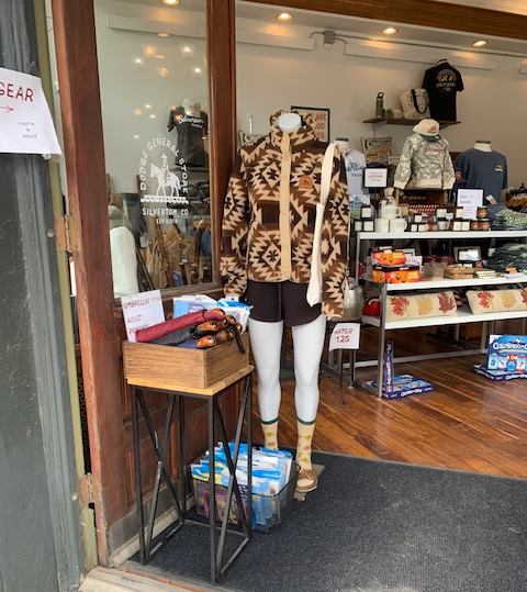
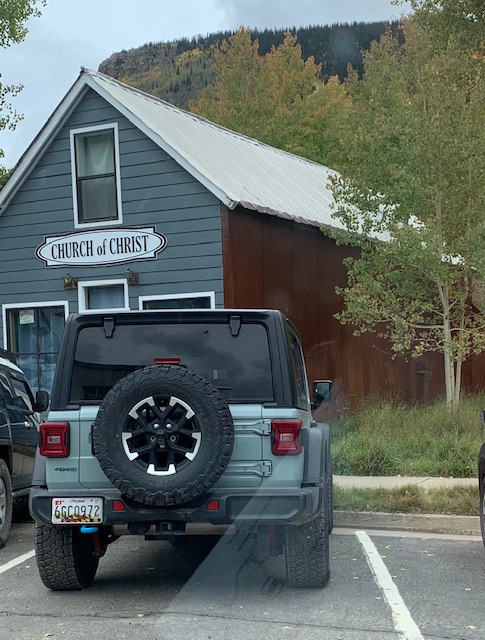
A neat winter outfit. And a very small church that looked charming.
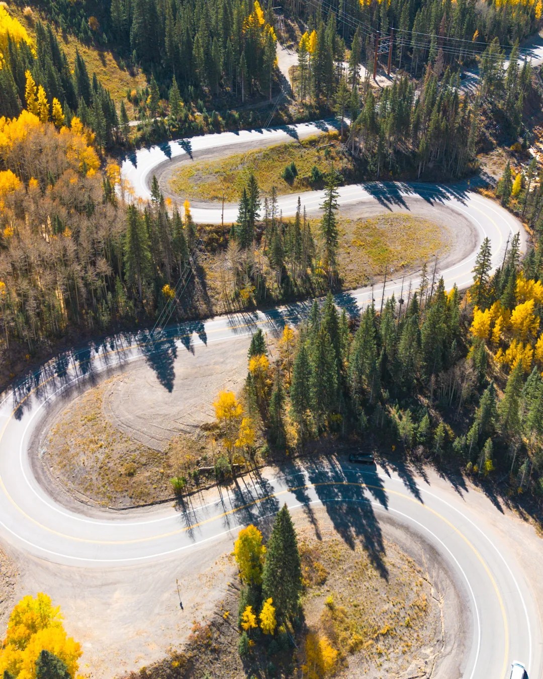
We’re back on The Million Dollar Highway is a 25-mile section of U.S. Route 550 in southwestern Colorado that links the towns of Ouray and Silverton.
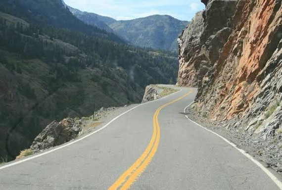
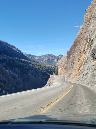
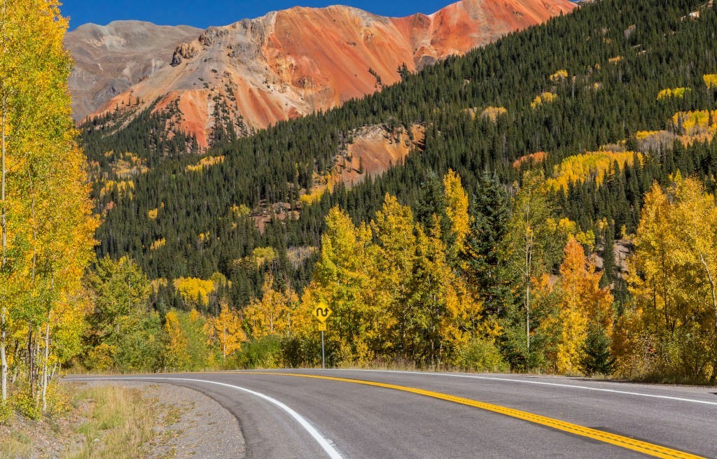
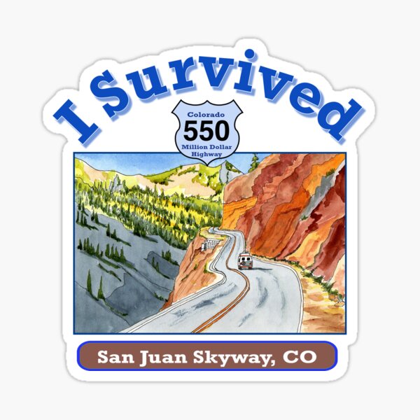
Highway 550, the “The Million Dollar Highway” they say is one treacherous road. Start with no guard rails and go from there. The highway was nicknamed due to the cost overruns in getting it built. Or another reason for the name they say is “that there is gold in them there hills.”
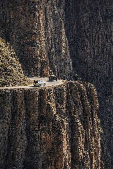
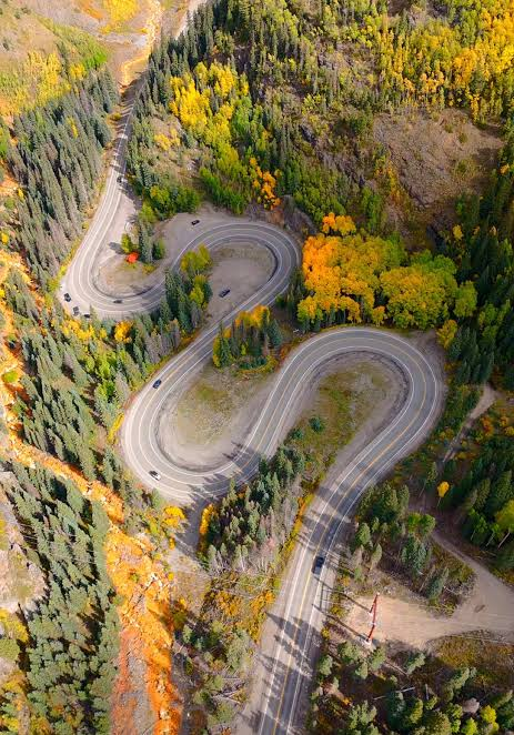
It features narrow 23-foot widths, sheer drop-offs exceeding 300 to 400 feet, tight hairpin curves, an absence of guardrails in key areas, and over 70 avalanche chutes. There are a lot of fatalities and accidents on the highway. Besides all that, you gotta see it!
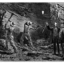
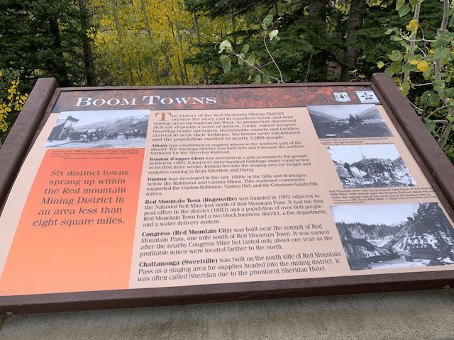
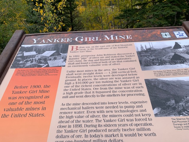
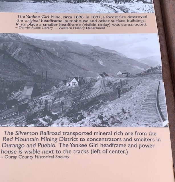
The history of the Red Mountain Mining District mirrors the story told in countless boom-and-bust mining areas throughout the West. As prospectors, miners, cooks, freighters, prostitutes, gamblers, saloon keepers, boarding house operators, and families flooded into the area six towns sprang up on the San Juan Skyway and the population increased to more than 3,000 people.
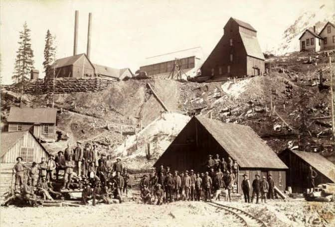
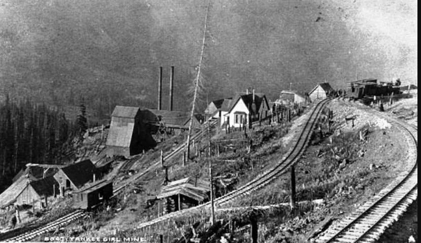
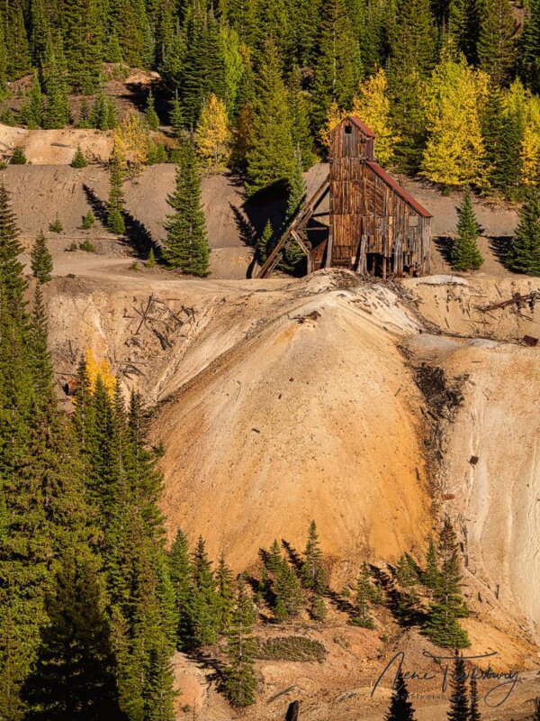
In 1882, prospector John Robinson discovered a massive “pipe” of silver ore and staked the Yankee Girl claim. He developed an exploratory shaft and found that the nearly vertical ore body contained an enormously valuable vein of silver.
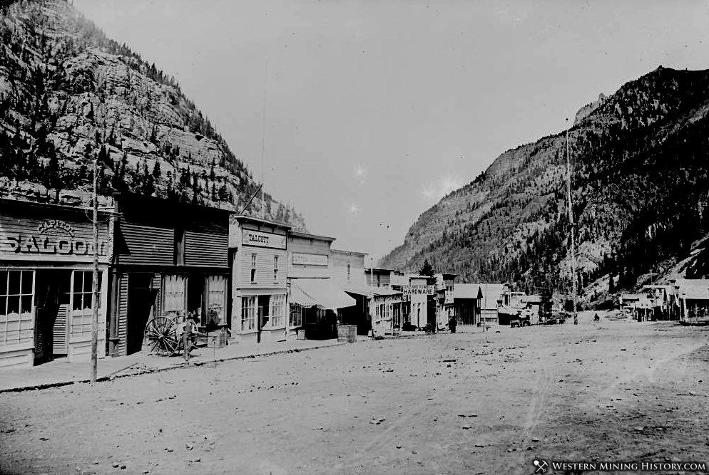
1890 pictures of the mine.
Unlike most local mines, the Yankee Girl shaft went nearly straight down – 1200 vertical feet. Eventually, twelve levels were developed below ground. In places, silver ore assayed as high as $10,000 per ton making the Yankee Girl one of the richest concentrations of silver ore in the United States. Ore from the mine was of such a high grade that it bypassed the concentration mill and went directly to the smelter for processing.
What’s left of Yankee Girl.
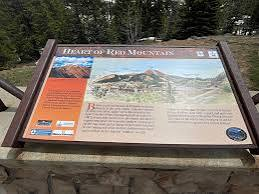
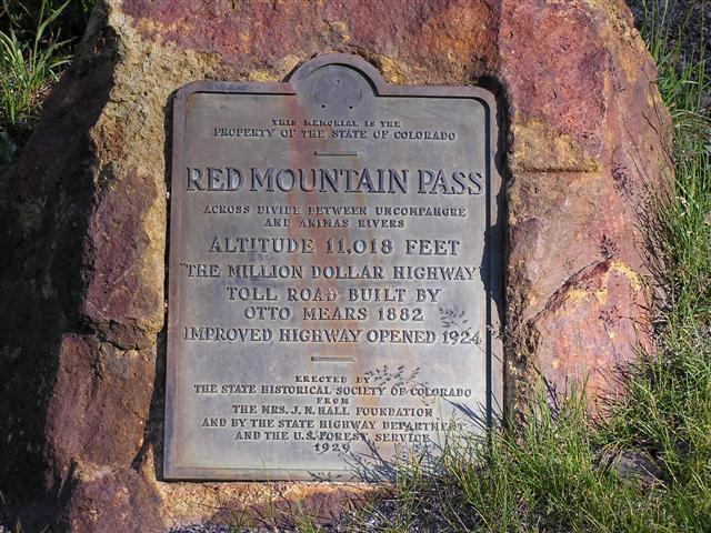
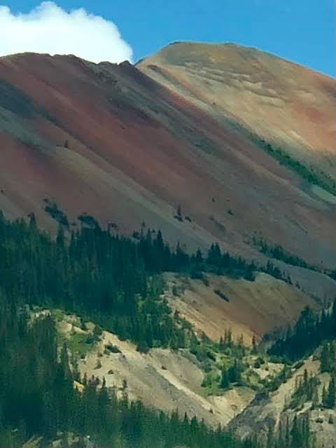
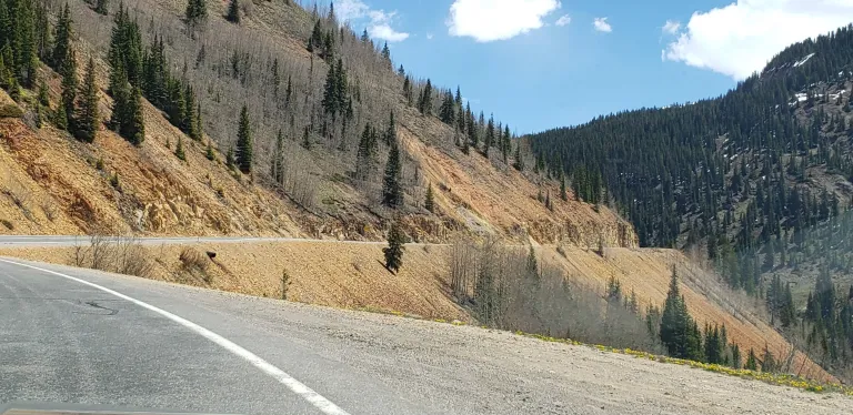
Red Mountain Pass is an 11,018-foot mountain pass on U.S. Highway 550 between Ouray and Silverton, forming the high point of the Million Dollar Highway through the San Juan Mountains. Named for the iron-oxide stained Red Mountain.
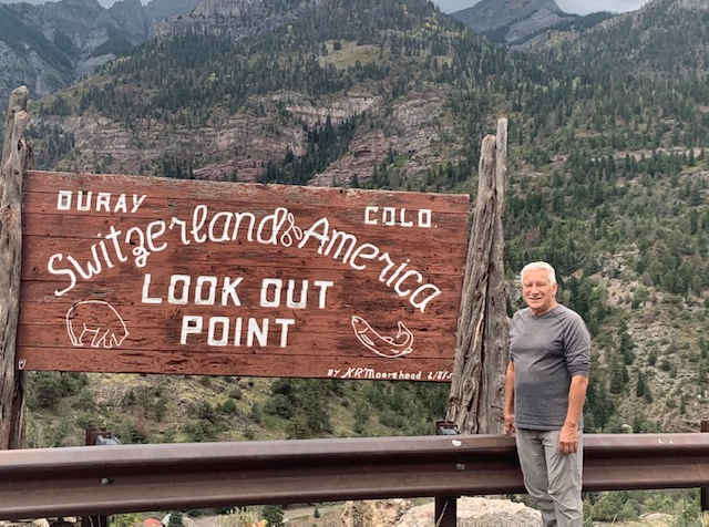
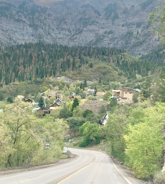
Switzerland of America Lookout Point is a popular stop with great views of the San Juan mountains, valleys, and the historic town of Ouray below.
Old mining Company sign.
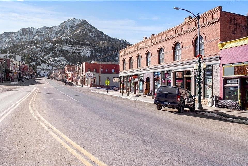
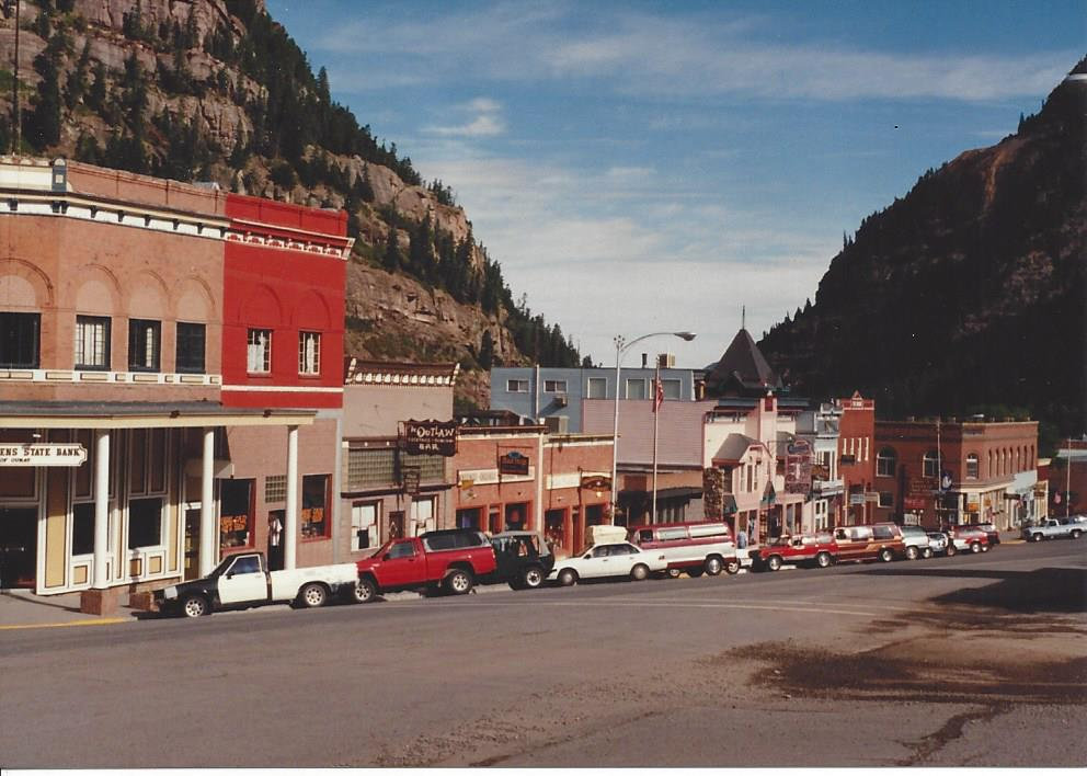
Quary has the name of a Tabeguache Ute Indian chief who wanted peace and friendship with the white settlers in the mid-1800s. It’s promoted as the Switzerland of America.
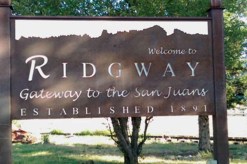
Founded in 1890, it was a key center for the Rio Grande Southern Railroad and named after railroad superintendent Robert M. Ridgway. It has about 2,000 residents. Known as the “Gateway to the San Juans,” it is located at the base of the San Juan Mountains.
Ridgway and its surrounding area have been featured in films like True Grit, How the West Was Won, and Tribute to a Bad Man.
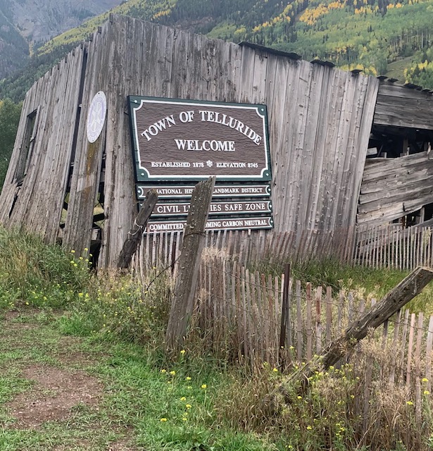
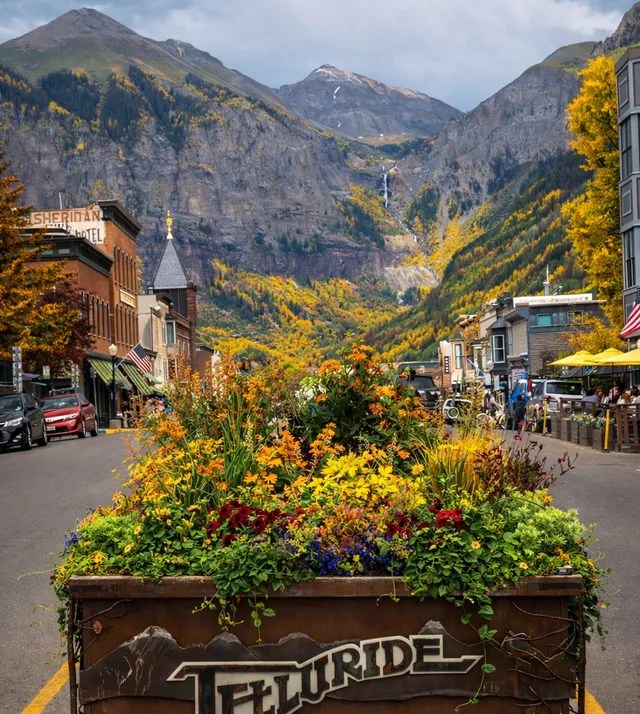
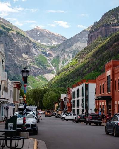
Telluride was our next stop.
The town of Telluride is just eight blocks wide and twelve blocks long. Because of its significant role in the history of the American West, Telluride was designated a National Historic Landmark in 1964. In has preserved Victorian architecture, boutiques, gourmet dining, and a strict absence of chain storefronts or traffic lights.
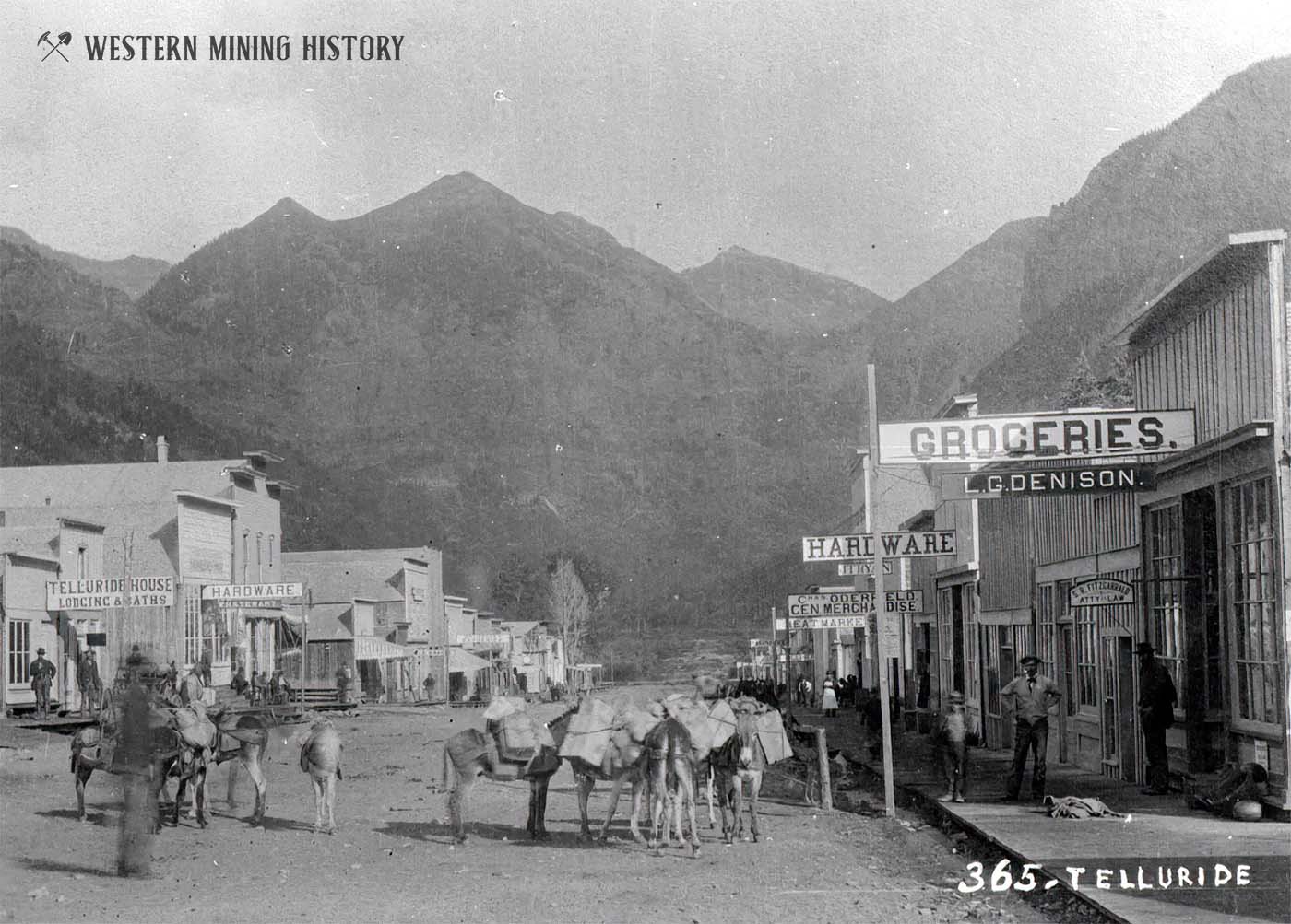
Telluride, Colorado, was established in 1878 as a mining camp for silver and gold.
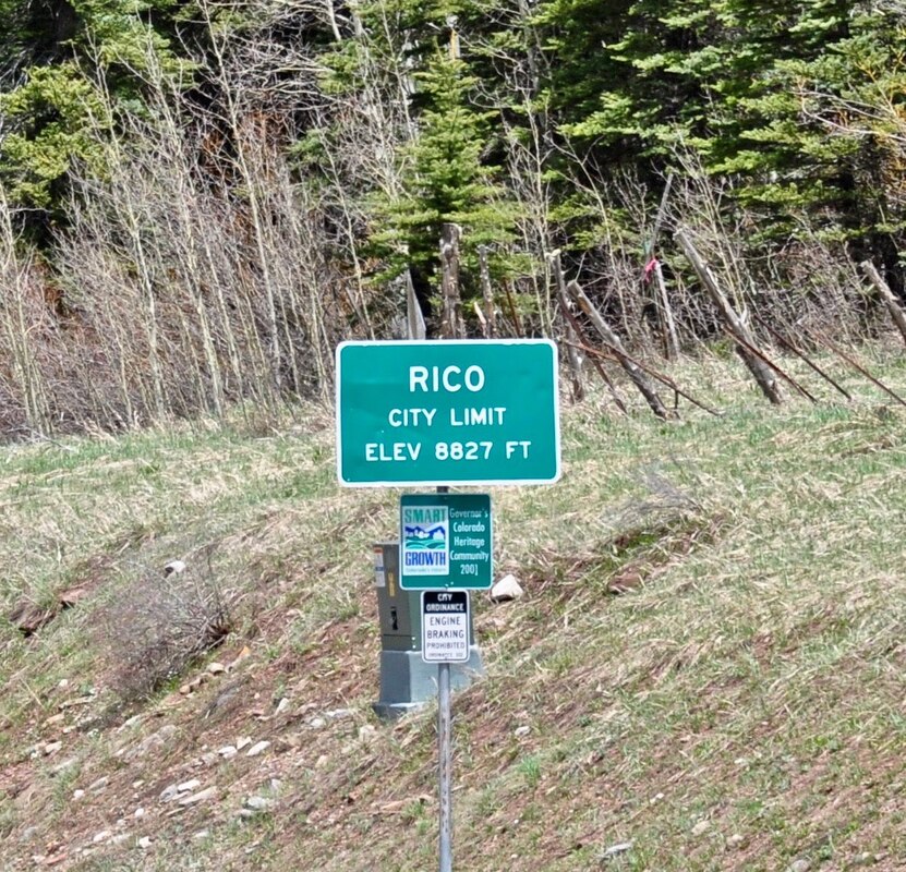
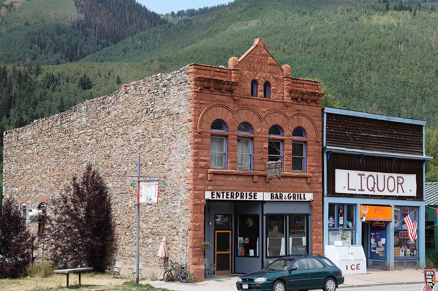
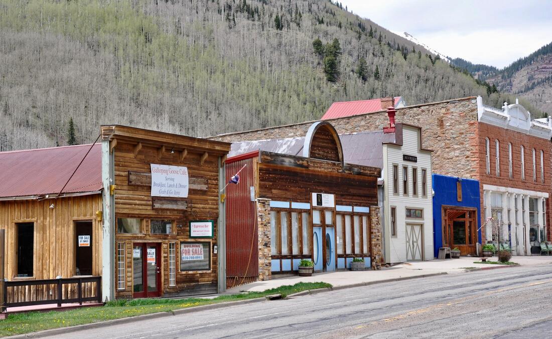
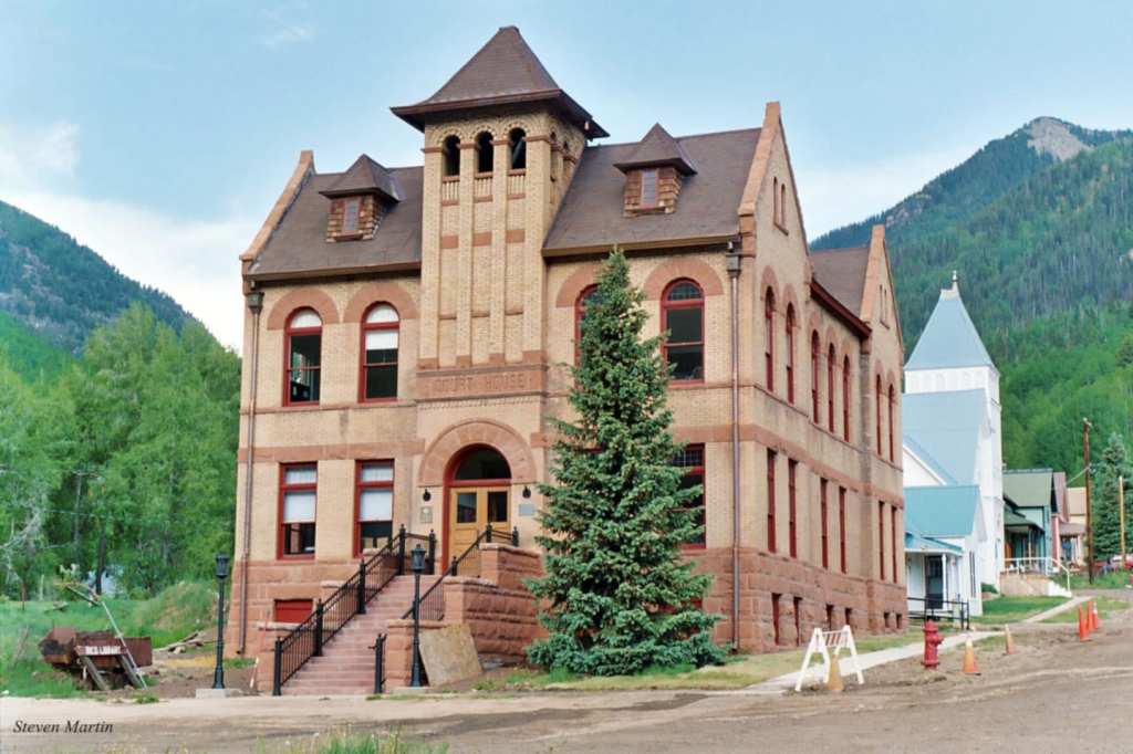
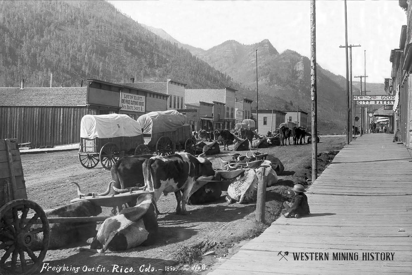
Rico is a historic town in eastern Dolores County, Colorado, located along the Dolores River and Highway 145. Population is around 200 to 350 residents
Founded in 1879 as a silver mining center in the Pioneer Mining District. Its name comes from the Spanish word for “rich,” commemorating early Spanish explorers and the area’s mineral wealth.
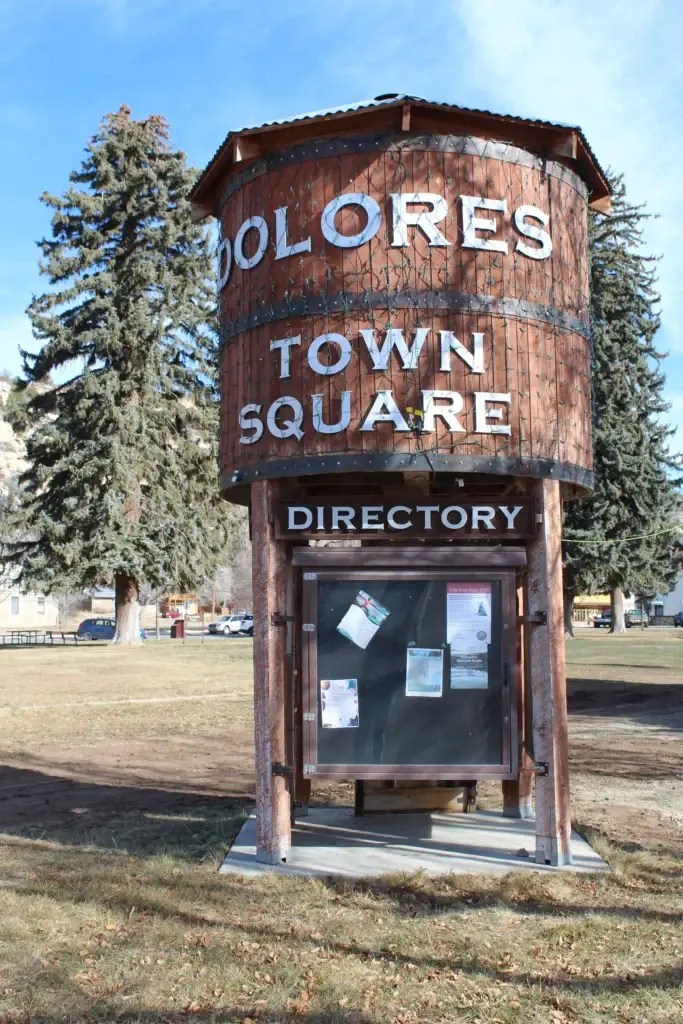
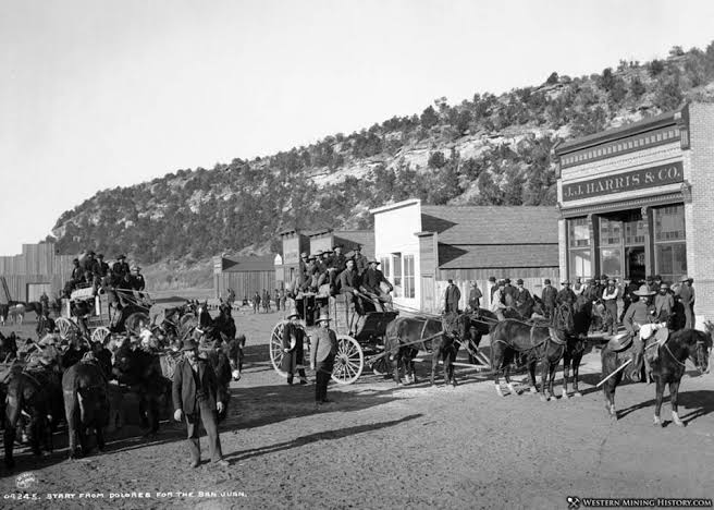
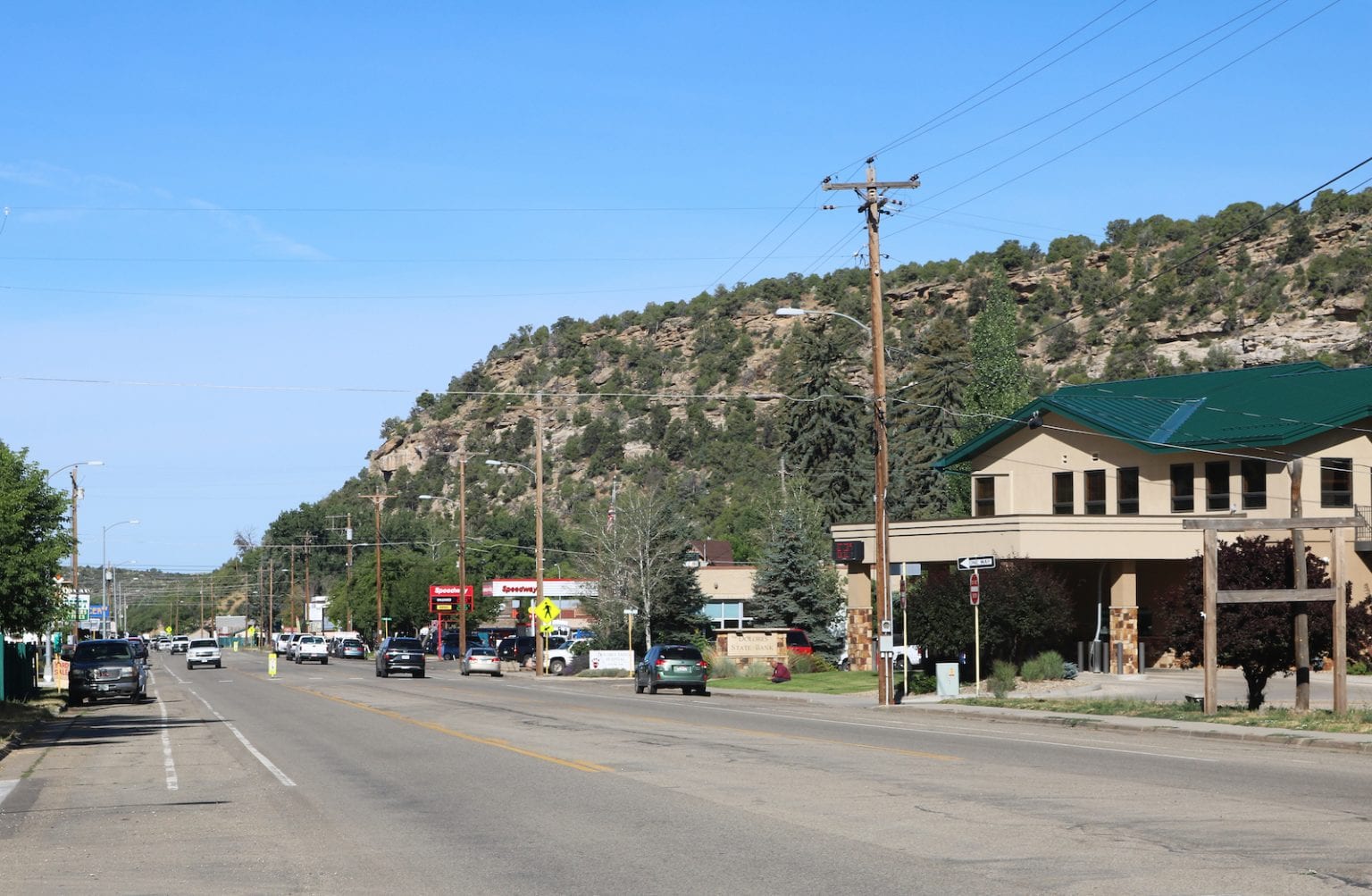
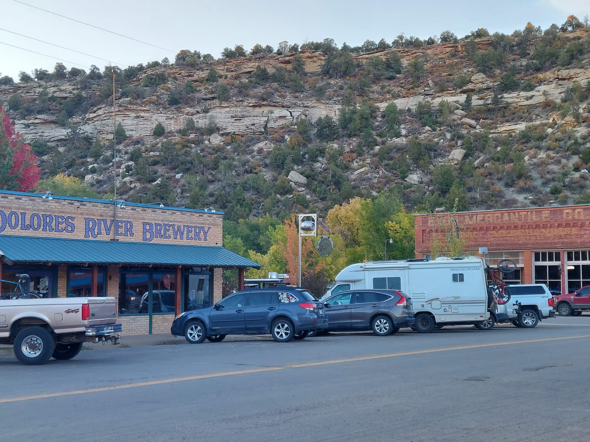
Dolores, Colorado, is a small town in a canyon bordered by rock cliffs. the Town of Dolores was incorporated on July 19, 1900.
The area was originally inhabited by ancestral Puebloans until around A.D. 1300; artifacts and remnants of their villages can still be found today as in all the surrounding areas.
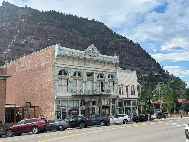
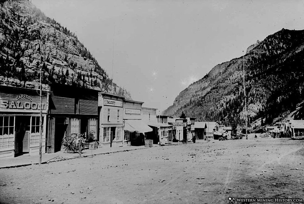
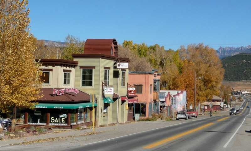
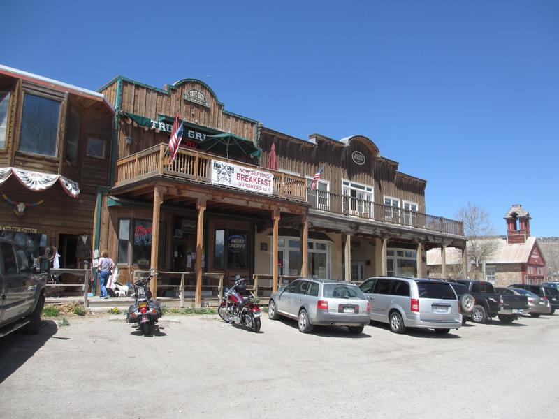
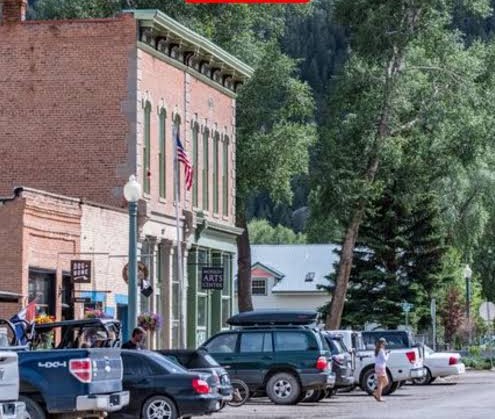
J. J. Harris & Son Building then and now.
Our 236 mile on the San Juan Skyway was incredible, with the twisty roads and super high drop-offs. Because it takes about 6 hours to drive the whole skyway, we couldn’t get out at all the towns but we drove around in the truck so I could take pictures. We didn’t want to drive on the Skyway in the dark.
All the towns began as mining towns and now attract visitors all year. Skiing is a major tourist draw here. If you’re ever in Colorado and have seen the Rockies, take a trip here y’all we love it!
“The landscape of the American West has to be seen to believed and has to be believed to be seen.”
N. Scott Momaday
Follow us on our Trails West: We left NY on on September 17th and drove to our first stop.
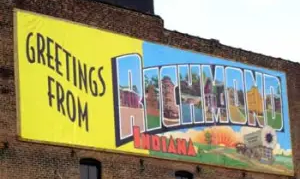
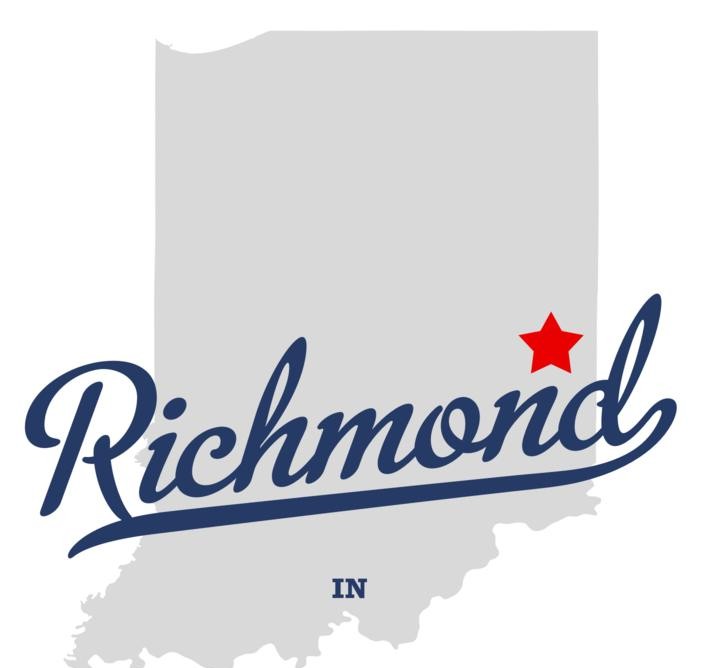
Which was in Richmond, Indiana. Dave planned this stop ahead of time cause it was in the right place on the map and going in the right direction.
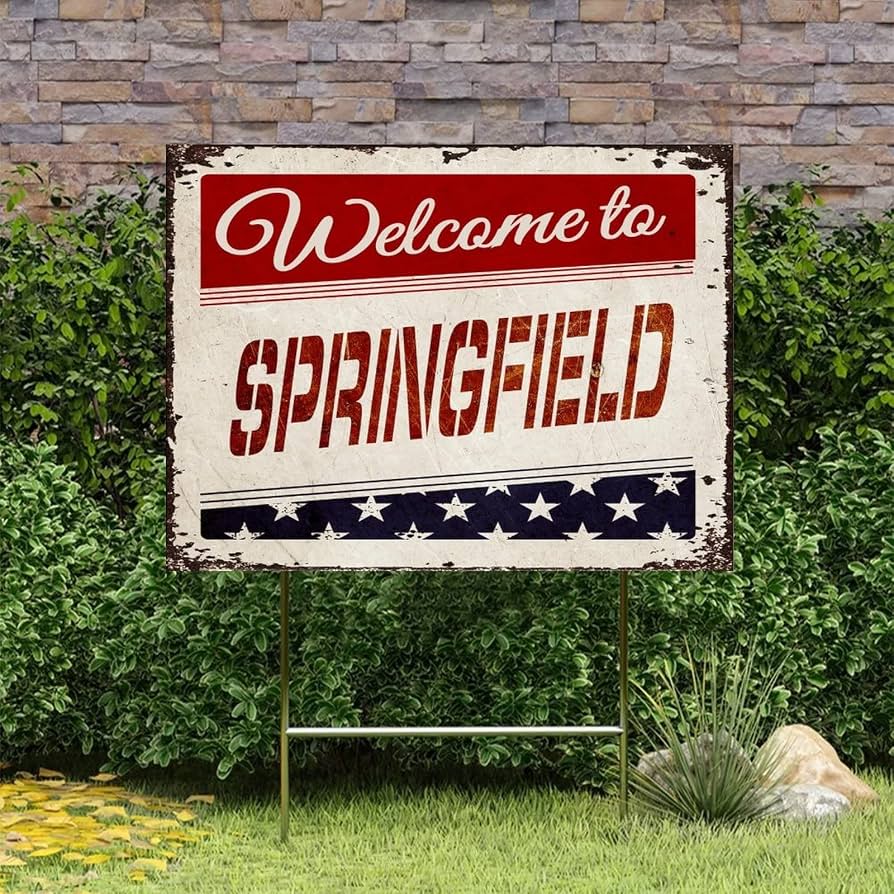
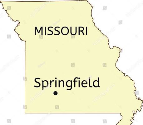
Our 2nd stop on September 18th was just for the night too, we stayed in SpringField, MO
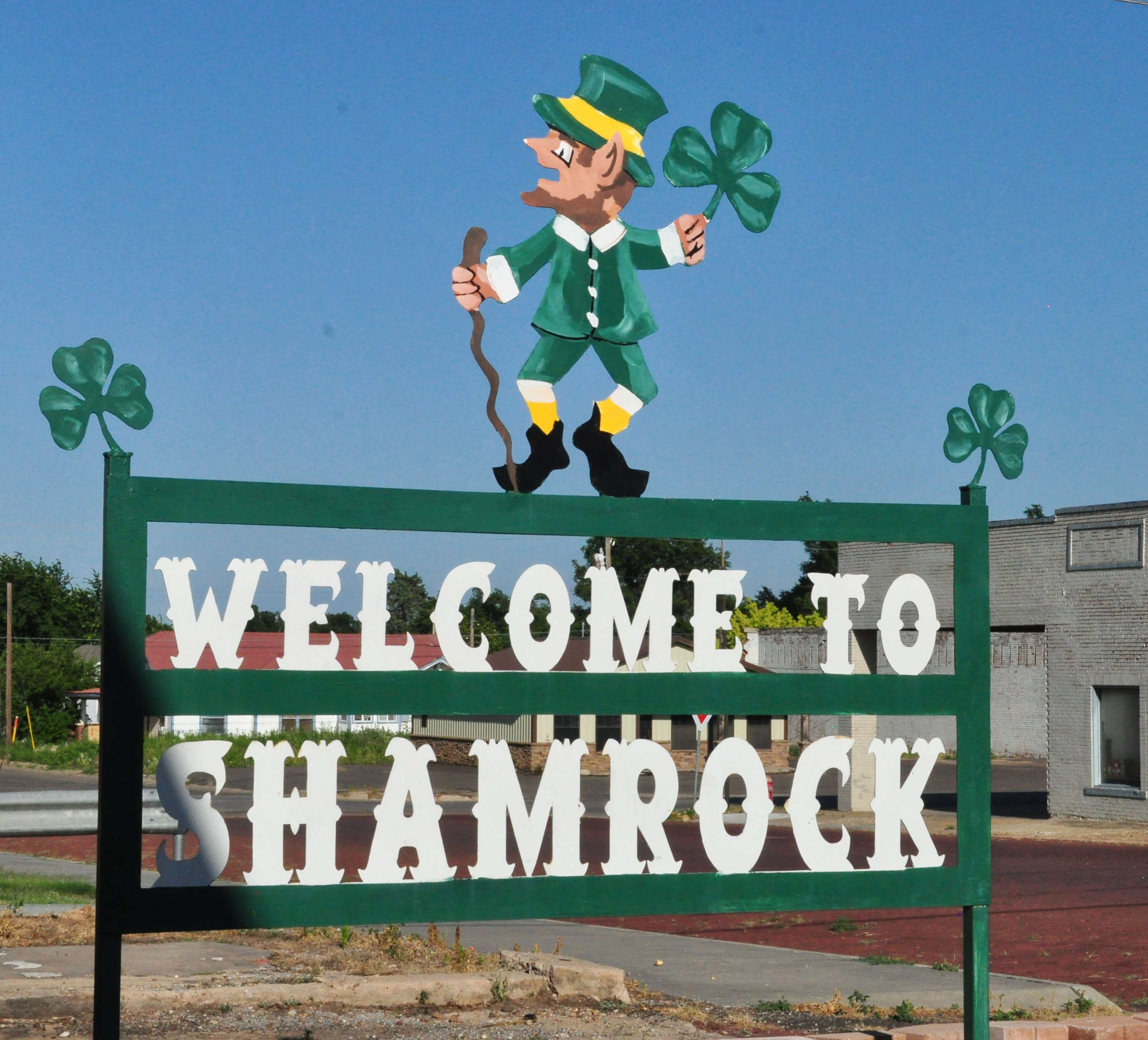
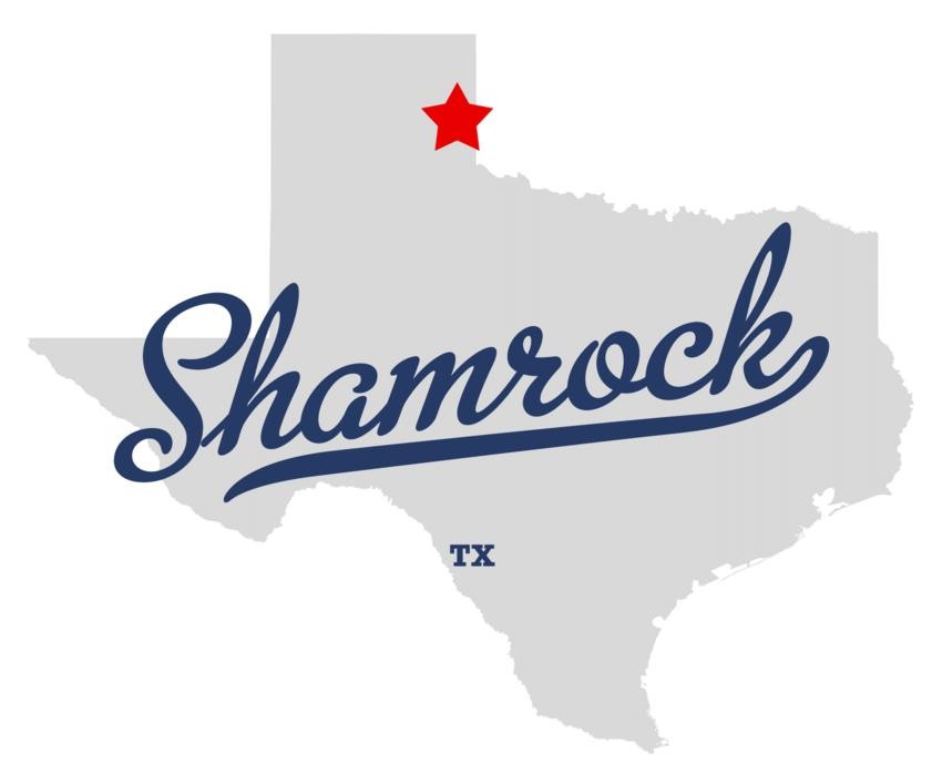
On Saturday the 19th we were once again in Shamrock, TX. If you read our blog you know that we have been here a few times before. It’s a cool location on Route 66.
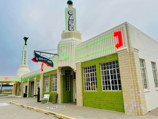
Only, we got here to late on Saturday to eat at the U Drop Inn!! They were closed and the food there is so yummy. Oh well McDonald’s it was.
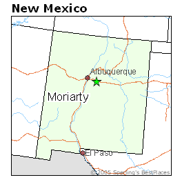
On Sunday the 20th, we stayed overnight at Moriarty, NM.
September 21, we were at our 1st place to check out the sights and sounds in Cortez, Colorado.
Cortez is a really neat area located in the southwestern corner of Colorado. It’s known as the heart of the Four Corners region and Cortez is also known for Native American history and is considered one of America’s top archaeological centers.
Here we stayed at an awesome Airbnb right in the city from the 21st – the 25th
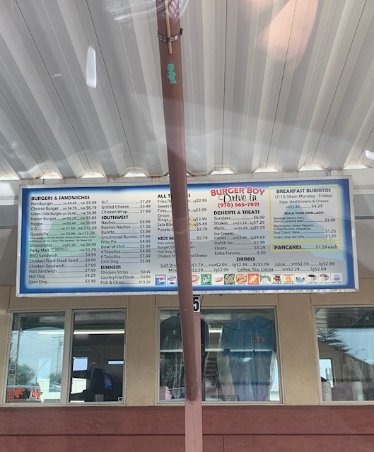
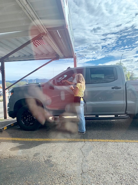
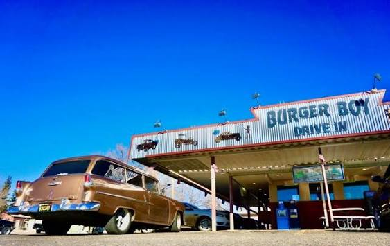
Our first night there we had dinner at a really fun spot in Cortez, it was Burger Boy! It’s a blast from the past. You drive up, park, sit back, read the menu. Waitress comes out, takes your order. Brings your food on a tray she then hooks to your partially rolled-up window. What a throwback to yesterday! I believe that at Sonic you order from a screen, a waitress doesn’t take your order but someone brings it to you. We have never been to a place like this so it was a real treat. I even had to go back for a delicious root beer shake, it was yummy!
On the 22nd, Our first stop was at
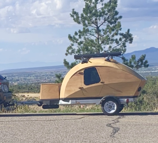
This neat wooden rv was in the parking lot.
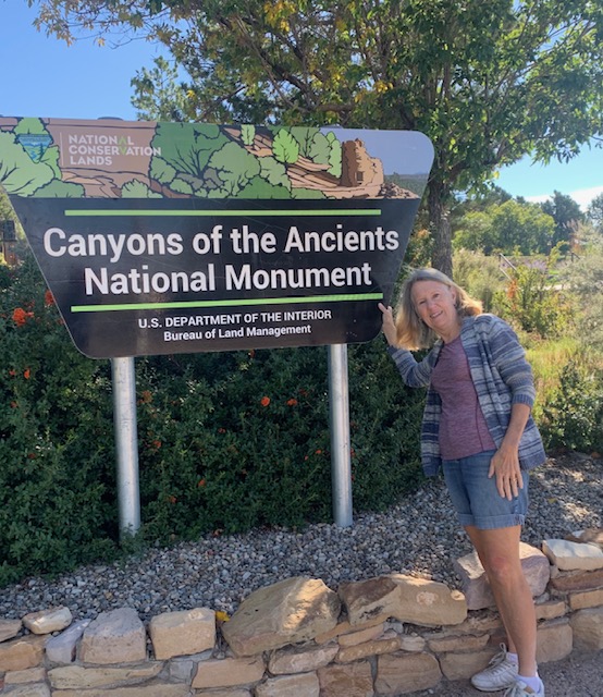
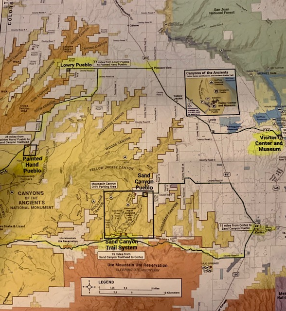
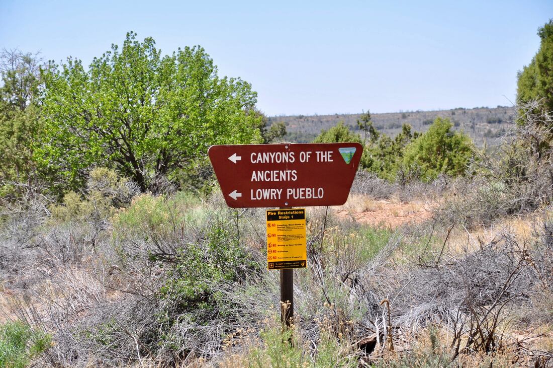
The Canyons of the Ancients National Monument is located in southwest Colorado. Elevations within the monument range from about 4,900 feet to about 7,500 feet above sea level. The outer boundaries of the area encompass approximately 183,000 acres of land. Besides being a beautiful area to visit it contains the highest known density of archaeological sites in the Nation, the Canyons of the Ancients National Monument holds evidence of cultures and traditions spanning thousands of years.
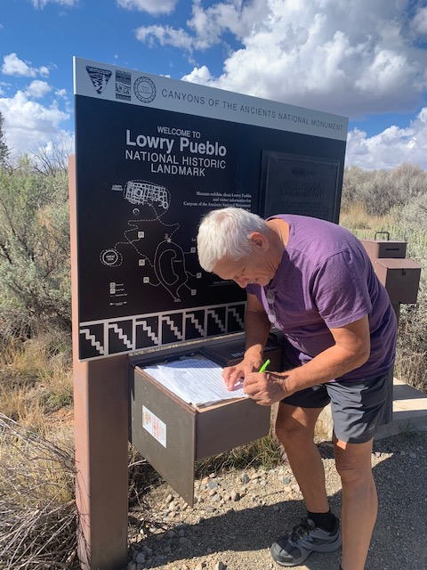
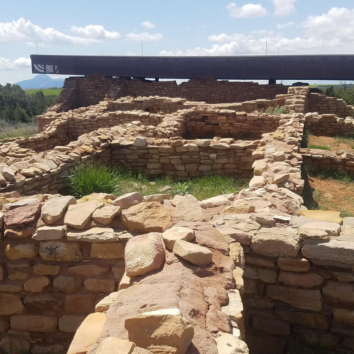
At the Canyons we started at the Visitor Center and then headed to our 1st stop at Lowry Pueblo.
Dave signing in.
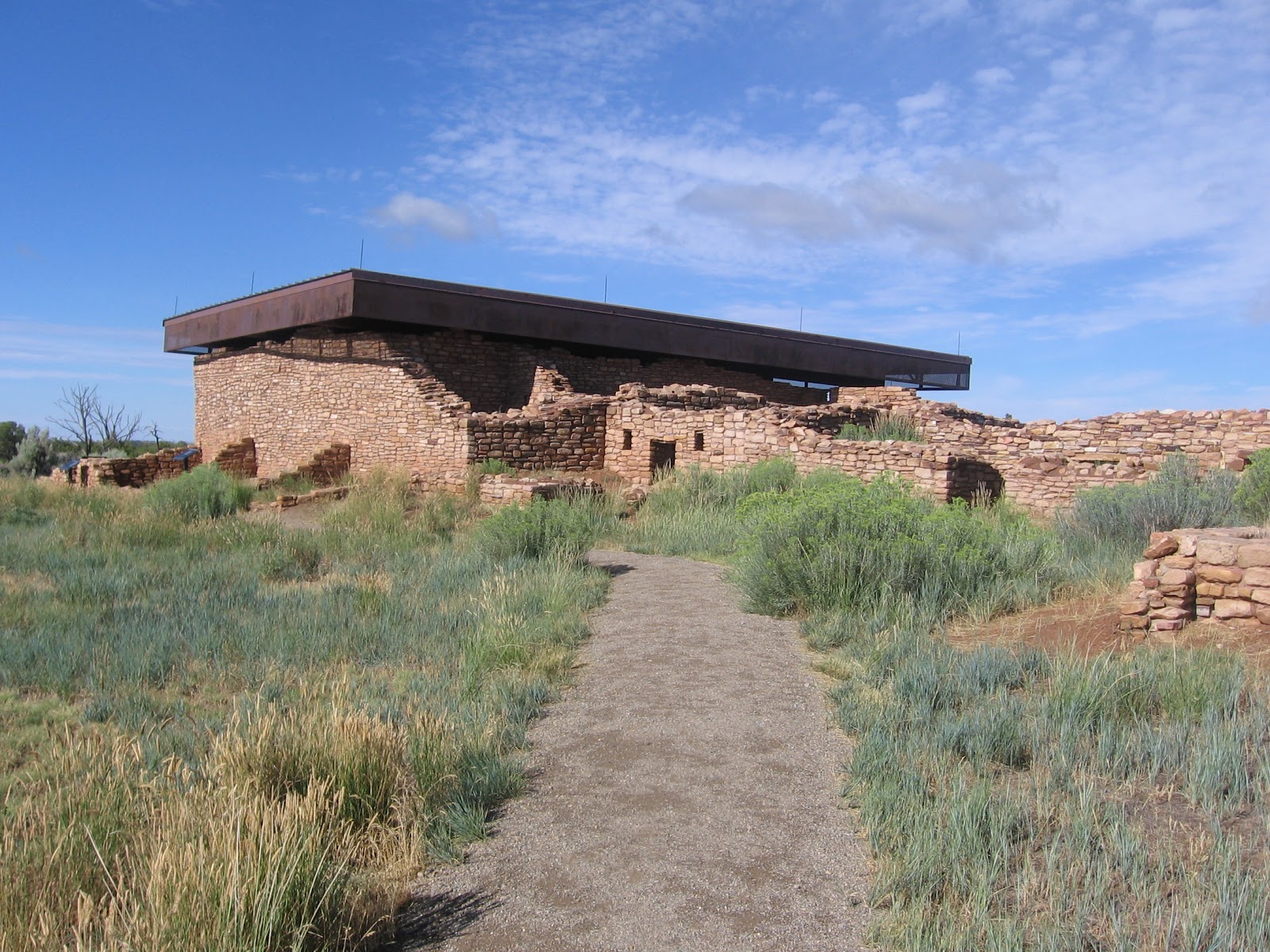
Taking the pathway to Lowry Pueblo.
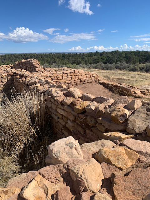
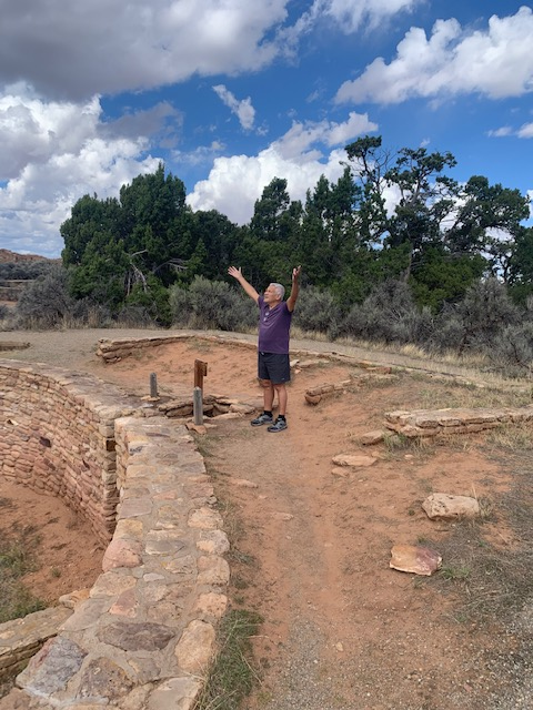
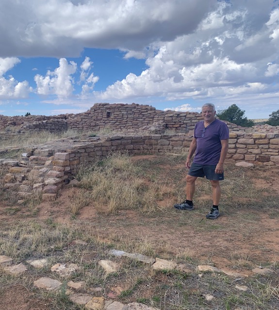
We were excited to visit an ancient dwelling, a 1,000-year-old Puebloan village site.
This site was first excavated in 1931 and became a National Historic Landmark in 1967.
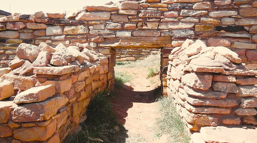
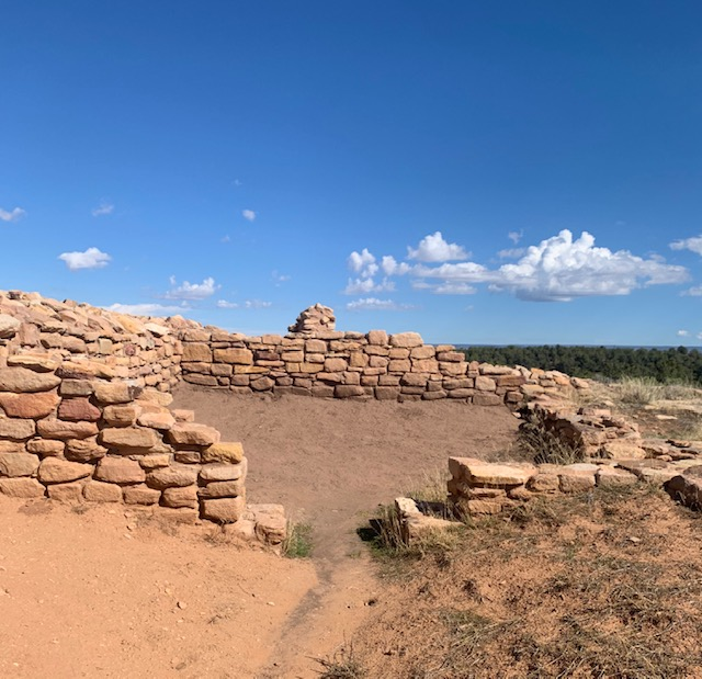
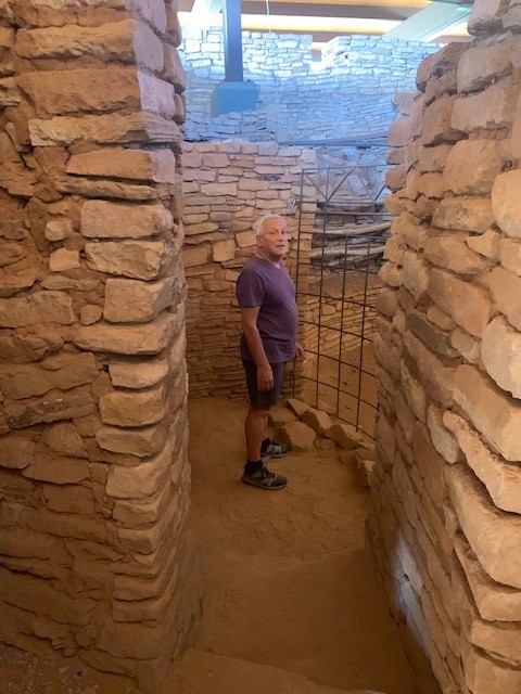
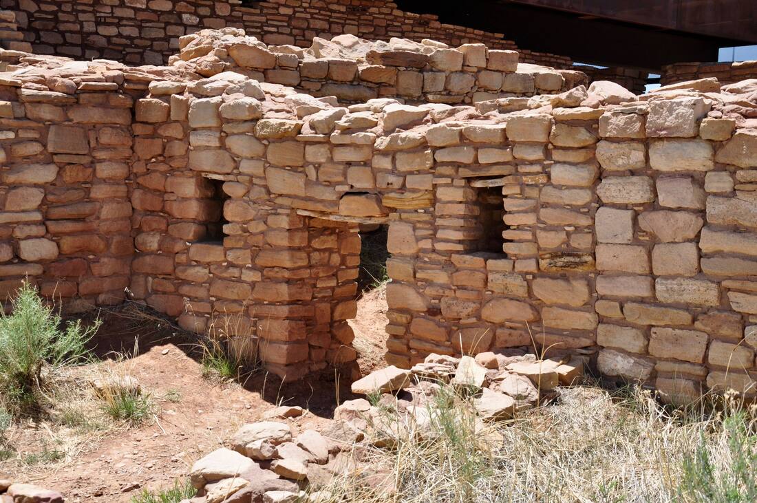
When we walked thru these buildings we were in awe and a bit surprised at the closeness of these ancient rooms. They seemed rather small for families. Especially since 65 to 100 people lived here at one time.
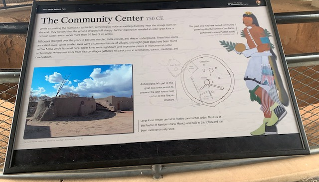
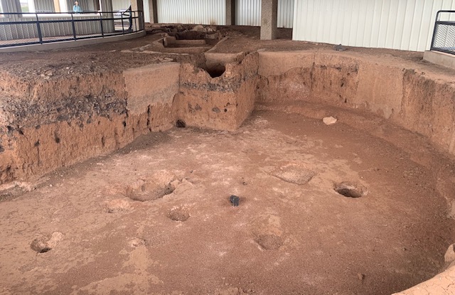
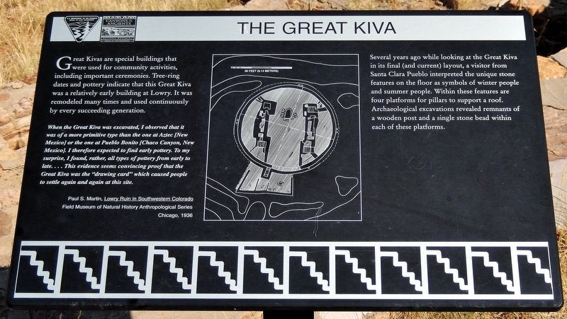
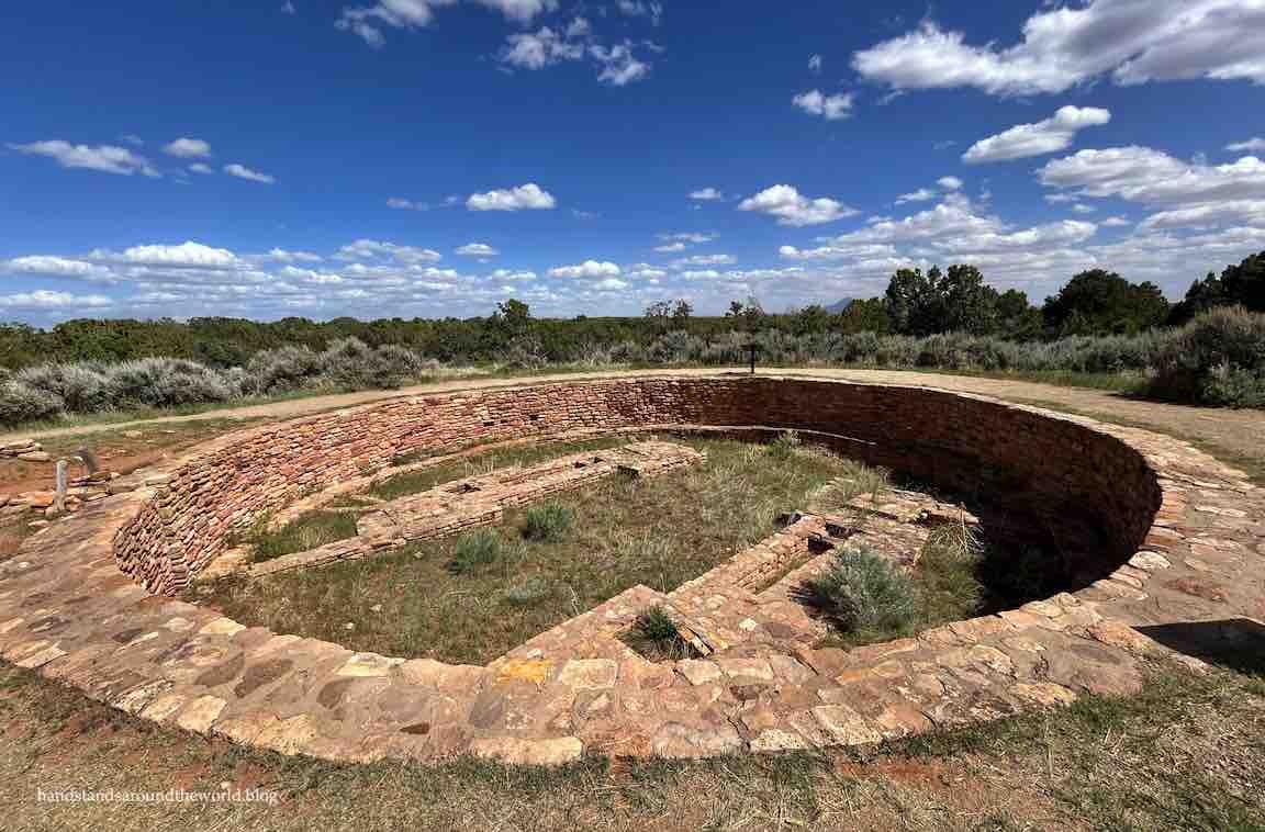
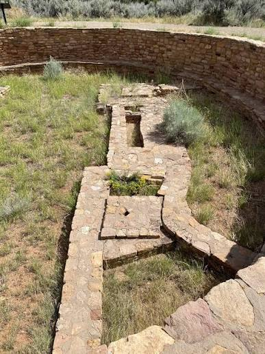
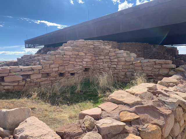
Great Kivas are sacred underground rooms that were used for community activities, including important ceremonies. Tree-ring dates and pottery indicate that this Great Kiva in Lowry Pueblo was a relatively early building at Lowry. It was remodeled many times and used continuously by every succeeding generation.
The Kiva
Other things that we’re going thru our minds walking thru the village was how did they survive?
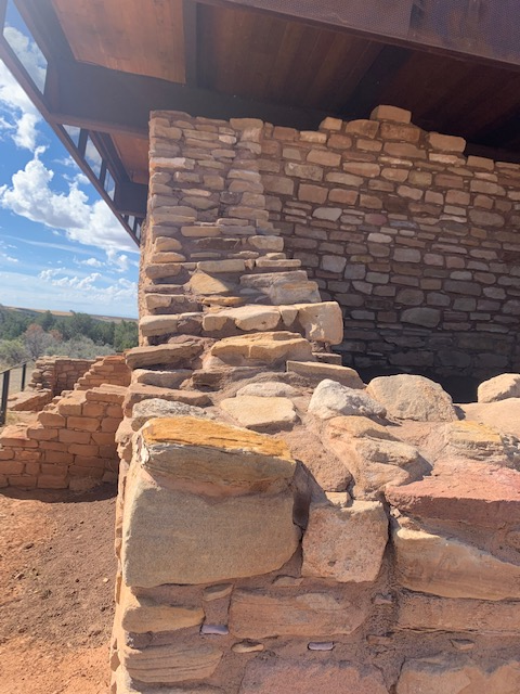
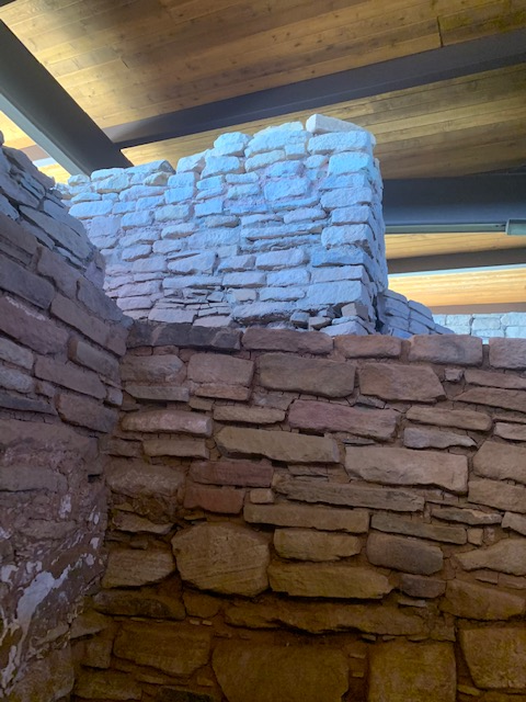
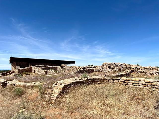
They put a roof on part of the village to save it from the elements. All the walls were higher and the ground/floor in all the buildings got filled in from thousands of years of weather.
Dave in the first picture is telling us that the walls were higher.
We found out that Lowry Pueblo was named after George Lowry an early 20th century homesteader. It was built on top of the houses of an earlier community around 1060 AD, and inhabited for about 165 years. It began as a small village with a few rooms and a kiva. Several more rooms, the Great Kiva was added between 1085 AD and 1170. By the time the last families left and migrated south and east, the pueblo had 40 rooms, eight kivas and the Great Kiva.
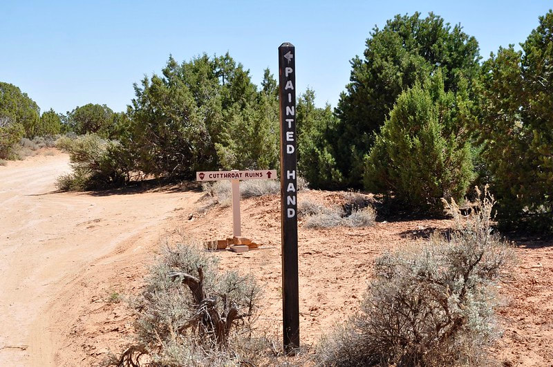
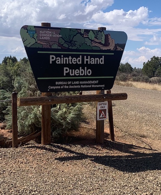
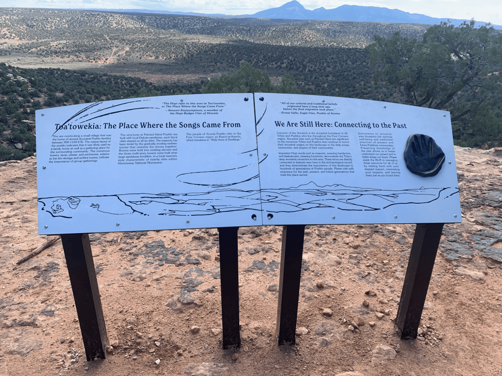
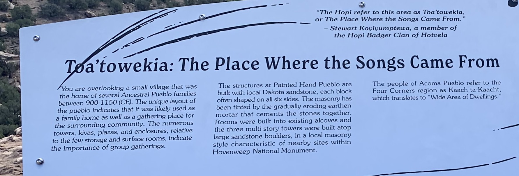
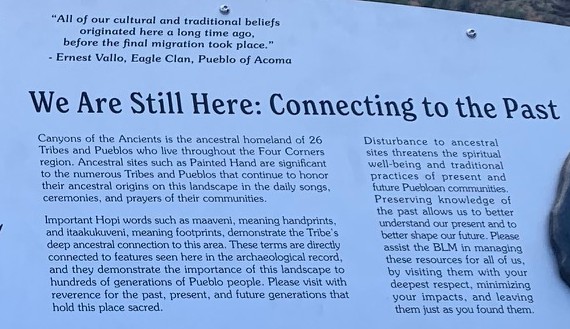
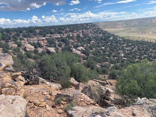
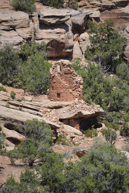
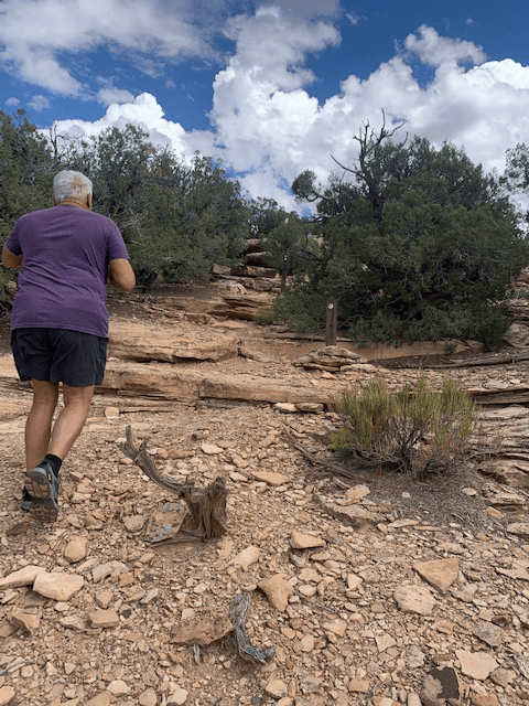
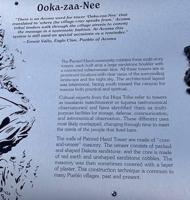
Our next stop was Painted Hand Pueblo. From the parking area it’s about a mile trail that meanders out to the cliff edge and views of what remains of the pueblo. The small village was built around 1200 AD. It had 20 rooms some structures, including a multi-story tower, kivas, and living quarters. It still has rock paintings and petroglyphs. The designs of the ancient images have special meanings to their descendants today and the Painted Hand Pueblo was placed on the National Register of Historic Places.
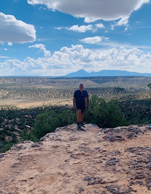
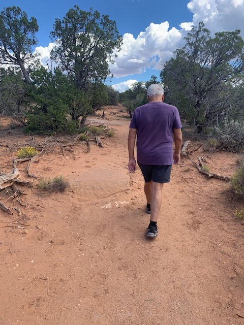
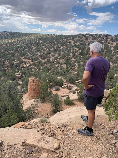
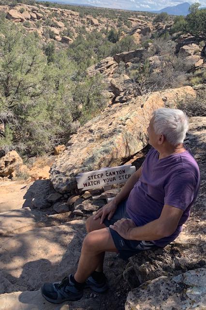
There’s Dave walking so close to the edge! He always does it!
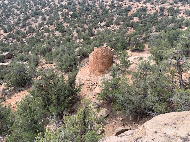
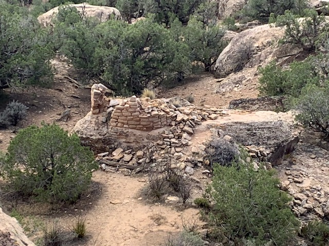
Dave is looking at the Stone Tower Building. A round masonry tower that sits directly on top of a large projecting sandstone boulder, with multi-level dwelling rooms and a structure built underneath it. The stonework features well-crafted sandstone blocks, and faint finger impressions still remain visible in the original adobe mortar.
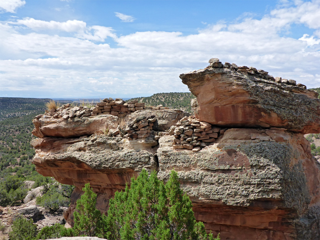
A view of the tower from another angle.
From this view you can see the ruins of another tower.
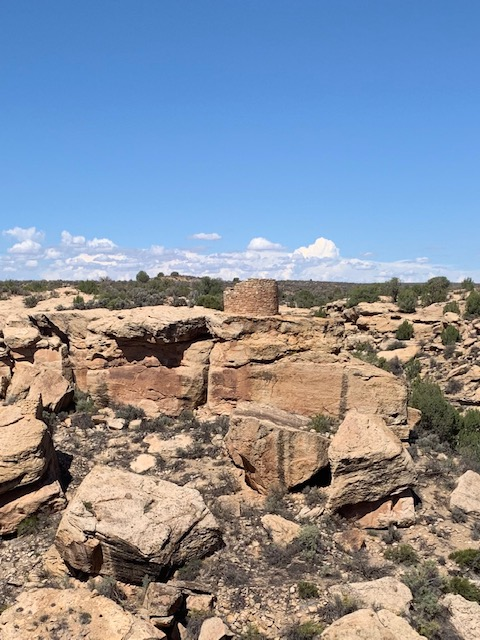
Additional ruins at Painted Hand Pueblo.
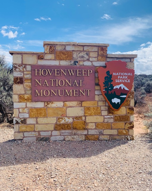
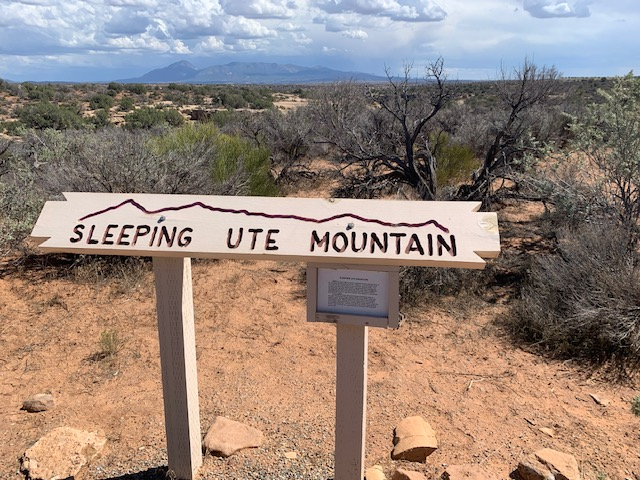
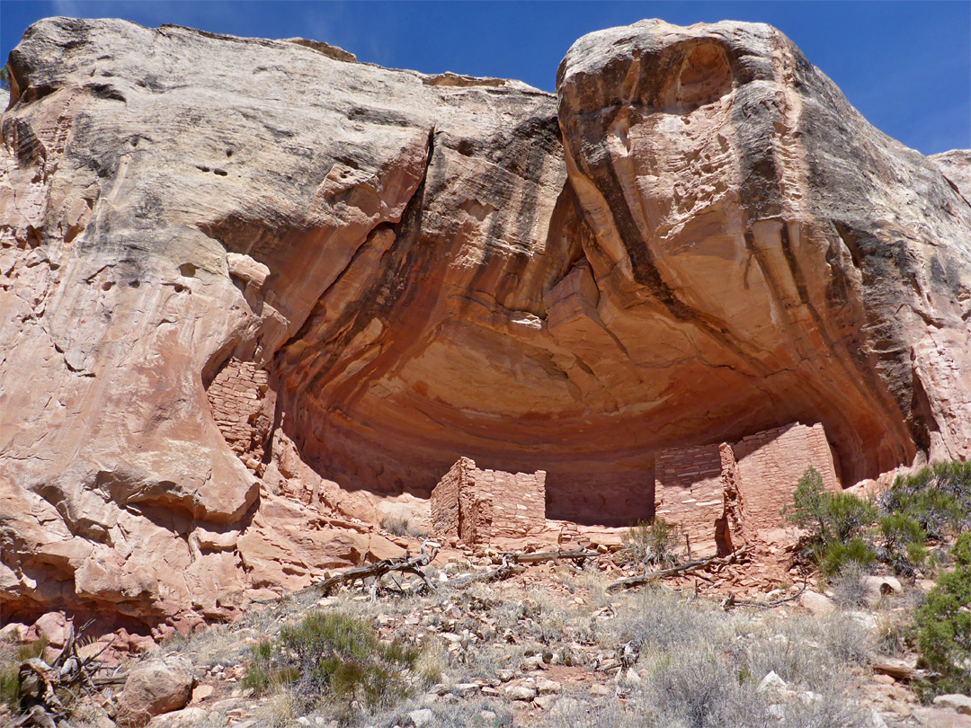
Our 3rd stop was at Hovenweep National Monument. Hovenweep a Ute Indian word meaning “deserted valley.”
Hovenweep was home to many Ancestral Puebloan people from 600 to 1300 AD, long before Europeans arrived. Together with the nearby, Canyon of the Ancients National Monument, is an area that has largely remained unchanged for centuries.
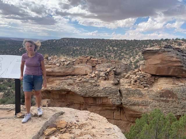
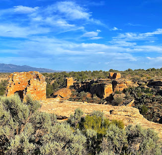
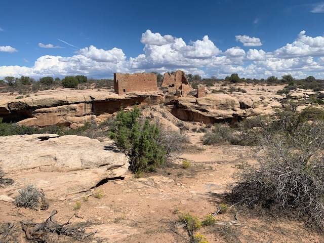
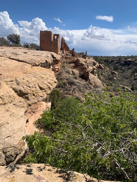
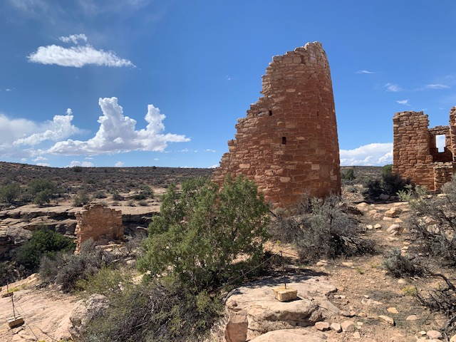
This area protects six ancient stone towers and villages built in 1200 by the Ancestral Puebloans along canyon rims on the Utah-Colorado border.
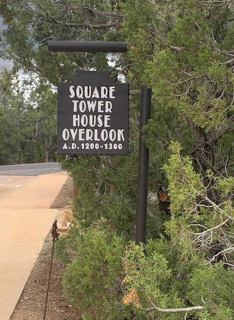
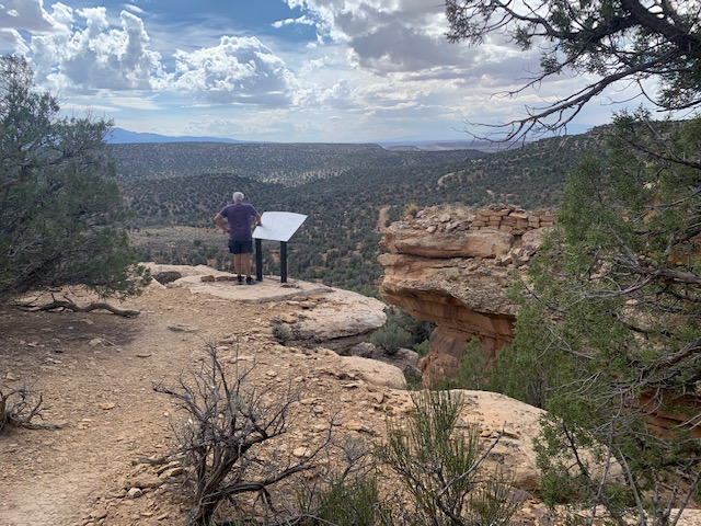
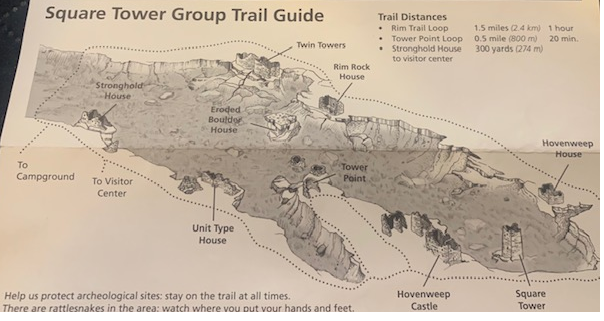
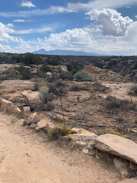
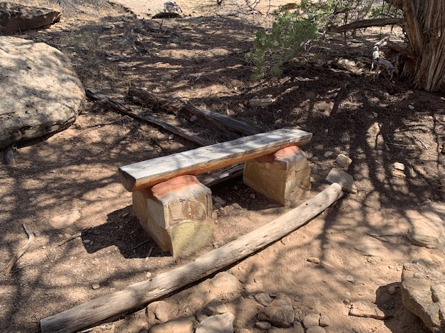
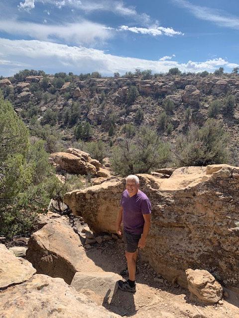
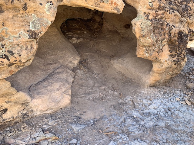
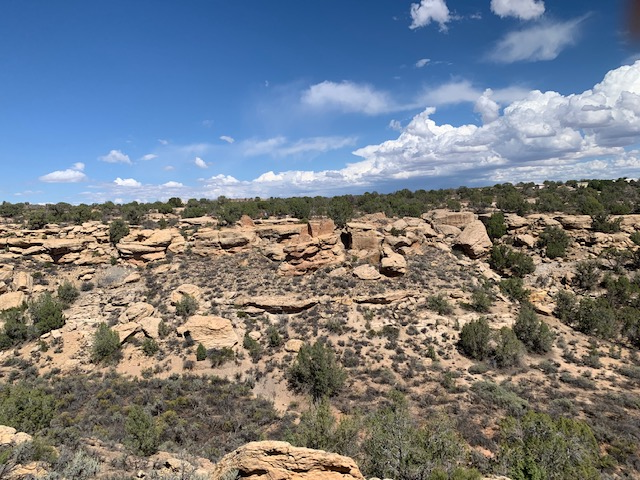
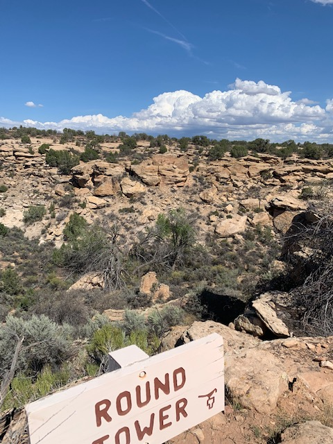
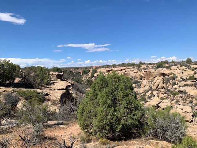
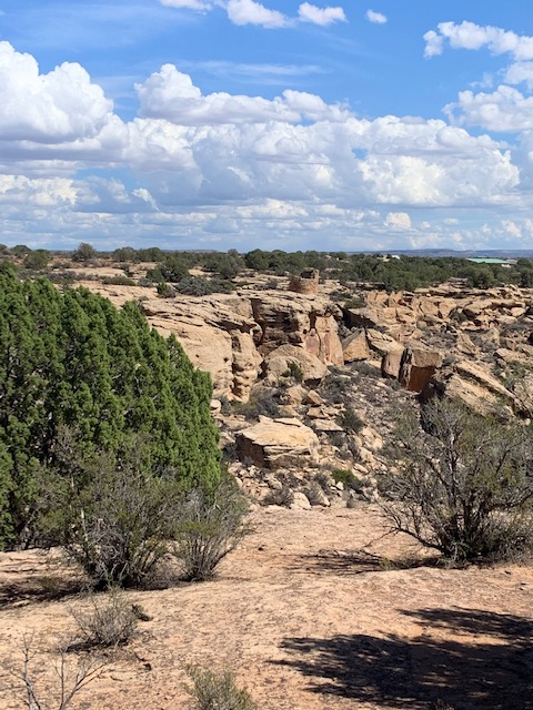
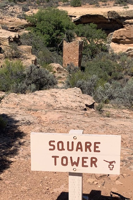
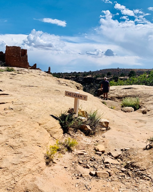
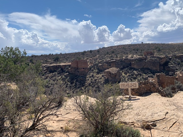
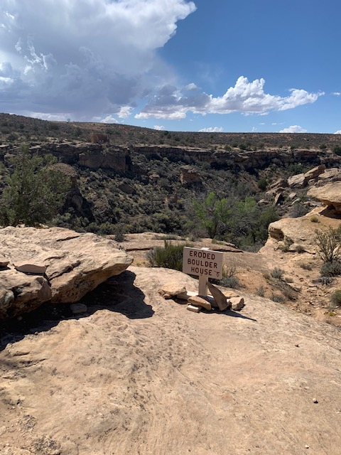
We took The Square Tower Trail by the visitor center. This starts as a sidewalk down to the overlook, then veers off in either direction (and loops back around) to circle the canyon. For a portion of this trail you hike down the canyon and then you gotta hike up again to get to the other side. The primitive trail is lined with rocks and passes within 5-10 feet of most of the structures, allowing us to see a lot of the goings on.
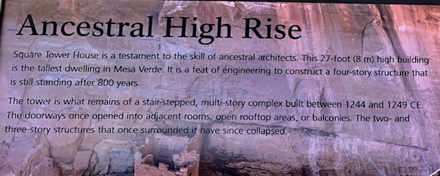
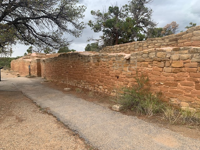
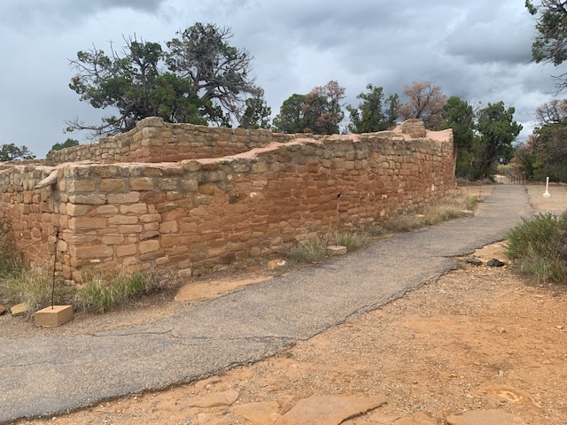
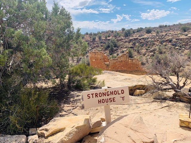
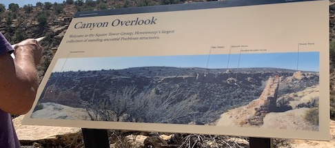
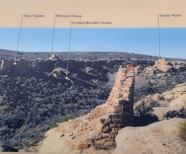
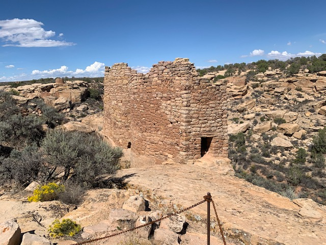
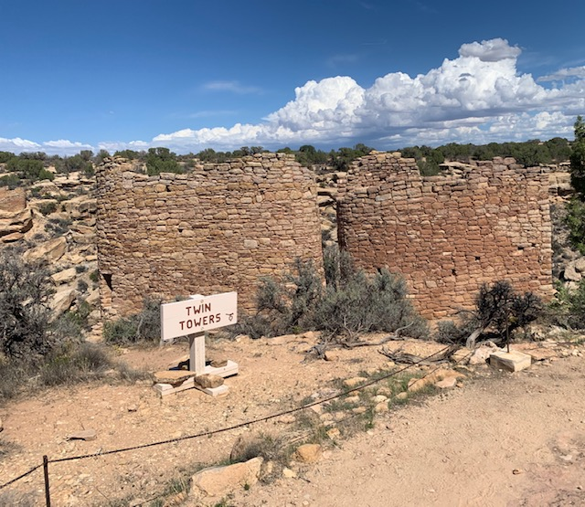
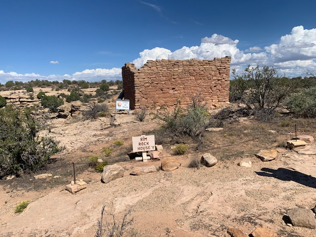
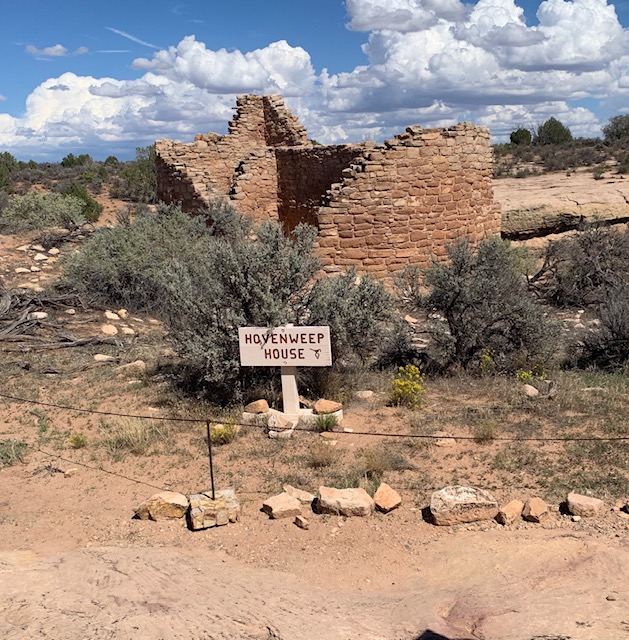
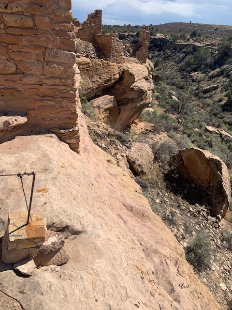
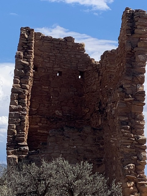
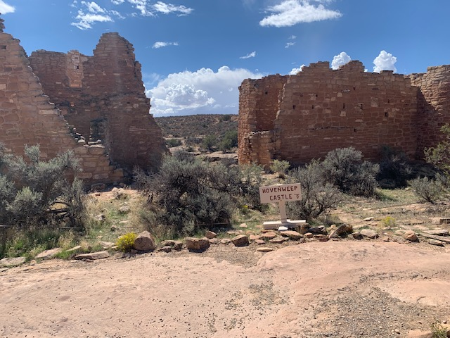
The Square Tower Group is Hovenweep’s largest and most convenient collection of standing structures. Ten buildings perch on the rim of Little Ruin Canyon; the remains of several more are crumbled down the canyon walls. Some of the most popular and unique structures in the Four Corners region are in this canyon: Hovenweep Castle, Twin Towers, and Square Tower, for which the group is named.
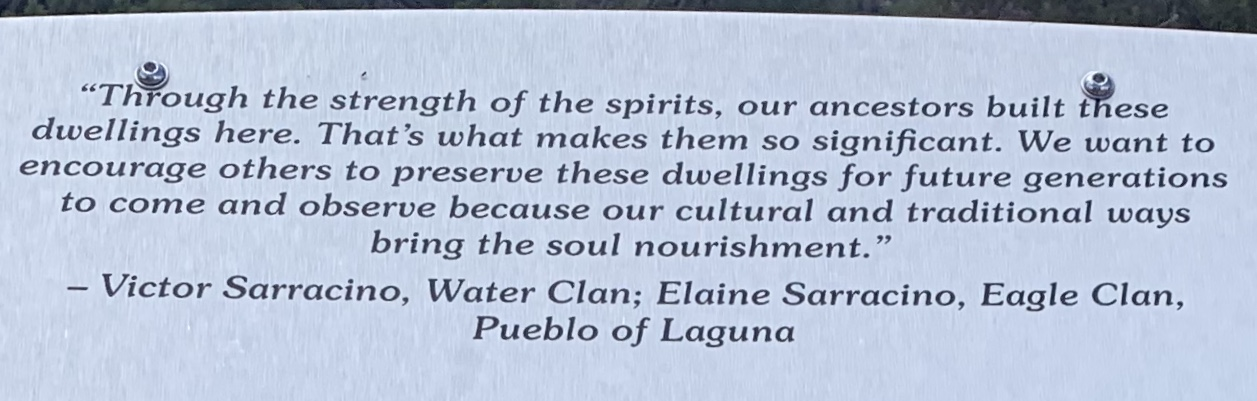
What inspired the ancestral Pueblo people to build these mulistory towers, perched on canyon rims and balanced on boulders? Modern tribal consultants from some descendant communities suggest that Hovenweep was a place to pray for rain during a great drought.
President Warren G. Hardingestablished the national monument on March 2, 1923.
We aren’t use to hiking down and up canyons so we took a couple of breaks.
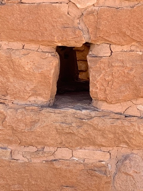
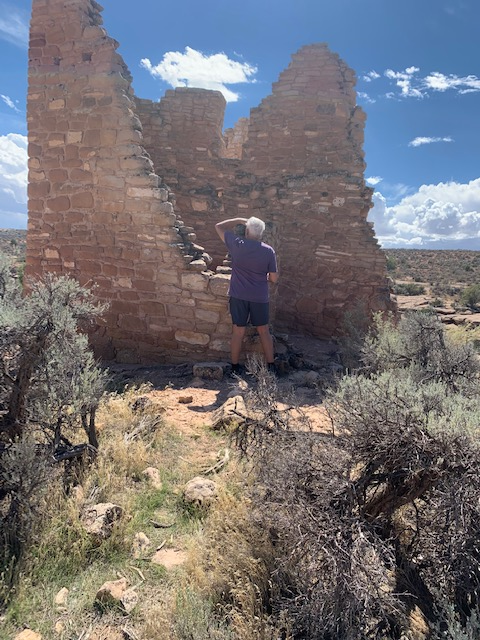
Sites like Hovenweep Castle act as solar calendars that track sun angles to mark the summer solstice and seasonal events.
With a variety of structures include multistory towers perched on canyon rims and balanced on boulders. Unique square, oval, circular, and D-shaped towers display incredible attention to detail and will leave you marveling at the skill and motivation of the builders.
We did a great job for not hiking for being somewhat out of shape.
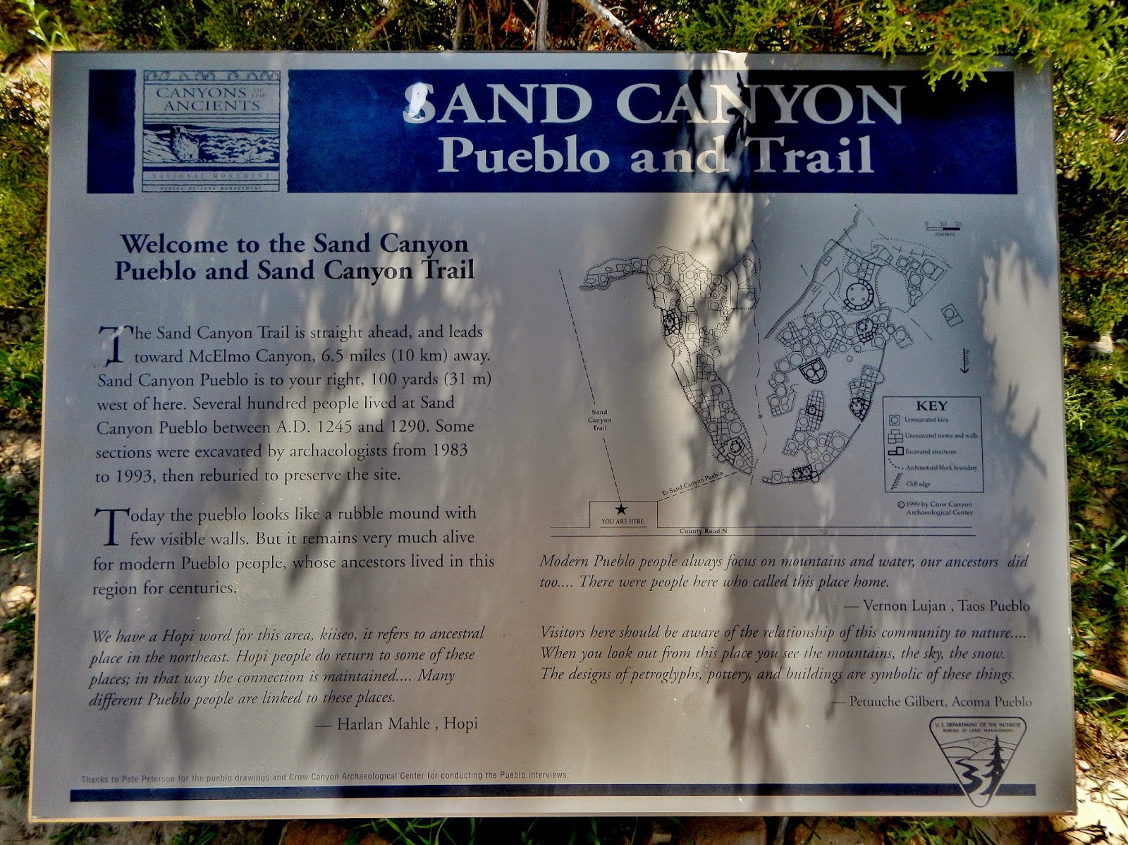
Sand Canyon Pueblo is the site of an ancient 13th century Pueblo Indian village. The desolate site has been excavated and overgrown rubble mounds remain.
We decided to pass by Sand Canyon Pueblo as we were a bit fatigued. And we knew we were going to visit other ancient dwellings.
We were truly amazed at the masonry work they did with the buildings with what little they had. Especially since they were on cliffs and boulders. How they went from buildings to buildings that were on different levels and cliffs, we wondered how many would have fallen. All these questions going thru our heads. They were truly amazing people!
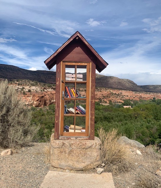
Just outside the canyon area was this library with really nothing around it. You never know what your gonna see.