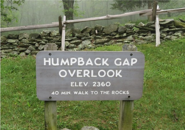
We went up to the Blue ridge parkway the other day and took about a 80 mile drive. The parkway goes right in the Blue ridge mountains, up and down over ravines and streams and all that.. It is about 300 miles long or so. It was built in the 30’s as a scenic parkway, no commercial vehicles. Then most of the trees were logged for lumber so a lot of the wayside pull overs now have trees grown up so the view is not that good. But the day was clear for us and looking down into the Shenandoah valley was cool. The first thing we did was go to the Humpback mountain visitor center. After that in our infinite wisdom we decide to hike up Humpback Mountain. It says it is .8 of a mile to the summit. A fifteen minute walk if it is flat. It took us an hour and fifteen minutes to get to the top. A lot of uphill, and switchbacks, but we did it and the view was very nice. Of course we made the first mistake of hikers, we forgot a backpack , no water and did not take our phones. No matter we are troopers, ya right. Took a half hour to come down. After we got to the truck we rewarded ourselves with two big fat donuts, we bought earlier at Donut Delight near Staunton as we drove up. They were good, but not good for us.

Below is a description of the hike as told by another hiker, which is spot on.
*****************************************************
“The hike to the Humpback overlook is about 1 mile (one-way), mostly straight up. The first half mile is no exception, but at least at this point the trail is relatively smooth, nothing like the rocky terrain that awaits you on the second half. Once you hit the second uphill climb, the trail not only becomes very strenuous, but also potentially dangerous. This area is extremely rocky, with staircases made of rocks, small rock fields that make it as if you are walking on rubble, and large rocks that you have to step up onto and over.
The hike is extremely strenuous, not to mention technically difficult and potentially dangerous without the proper equipment—boots and hiking poles. You do not need to be on this trail if you have a bad back or bad knees or are completely out of shape. You don’t need to be hiking this trail. However once you reach the top it was all worth it !! As told by Steven L. Markos”
******************************************************
We weren’t planning on taking this trail so we didn’t have the proper equipment or water. And like Steve Markos said we are out of shape. Nor did we have our Head Dogs, Doug & Jennifer who always hiked these kind of trails with us when we were younger and in shape. But they I’m sure are proud of us. And the view was awesome when you got to the top!
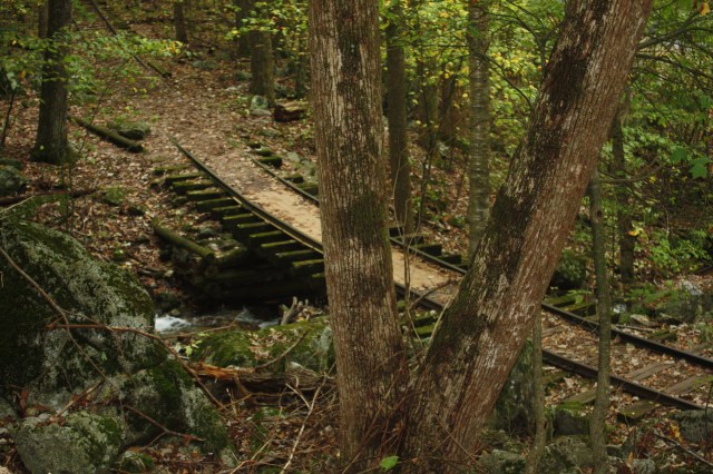
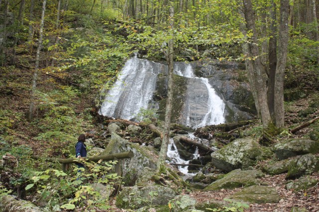
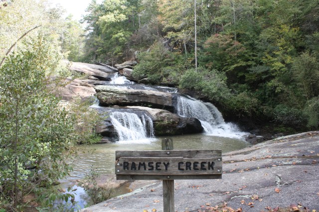
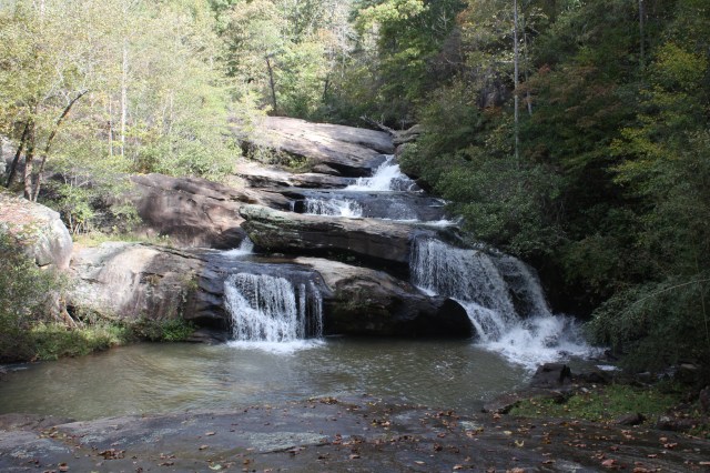
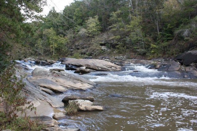
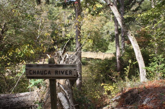
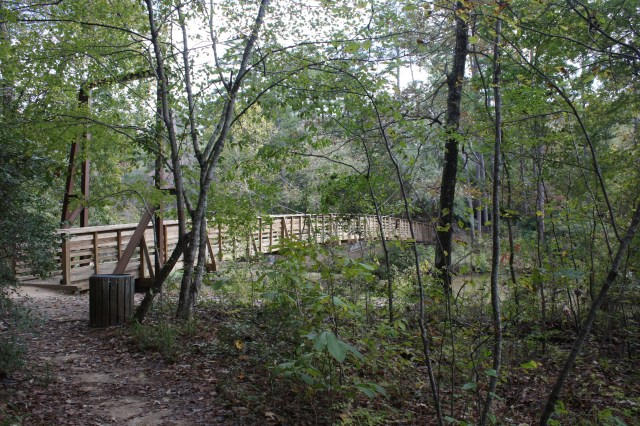
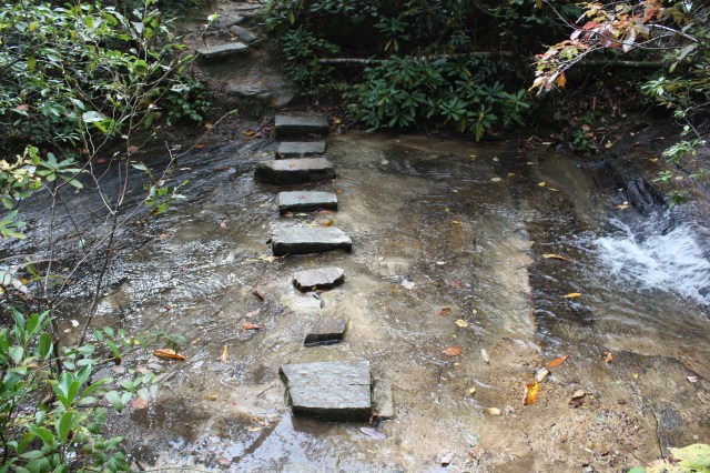
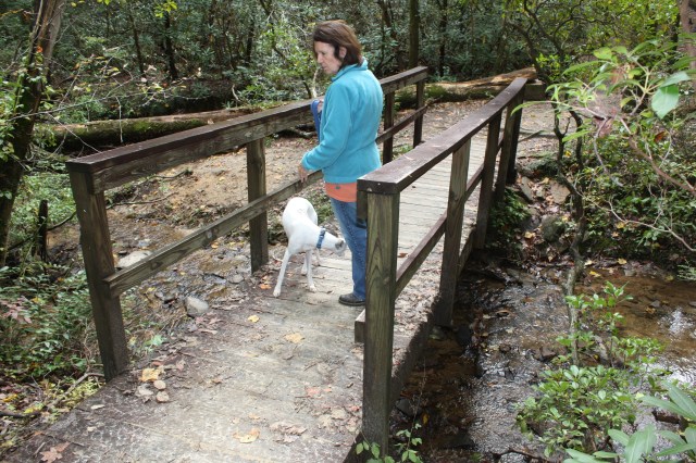
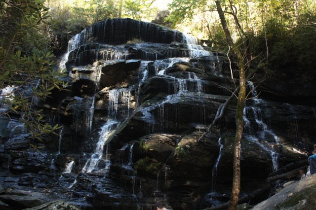
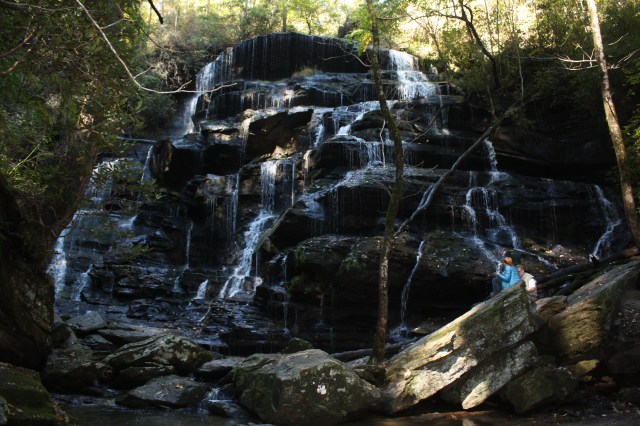
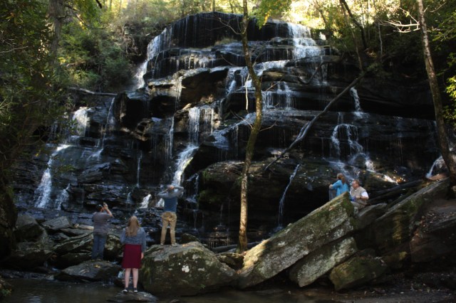
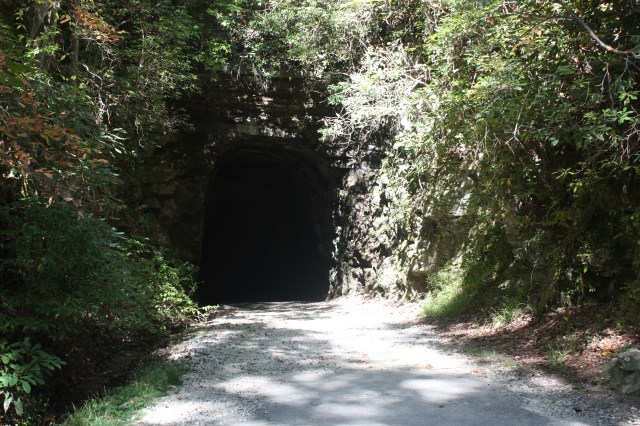
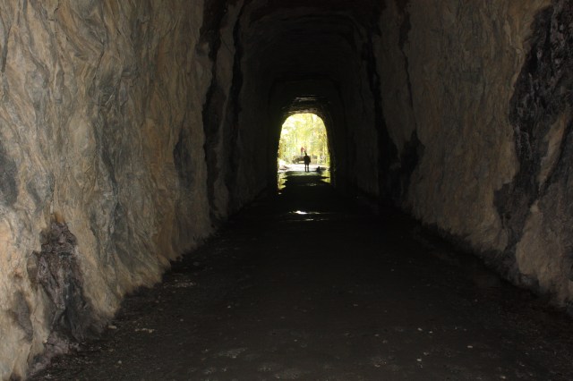
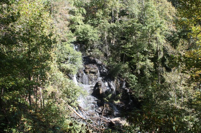
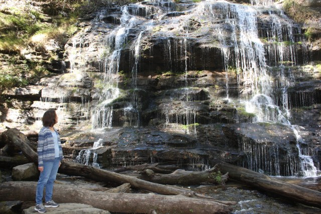
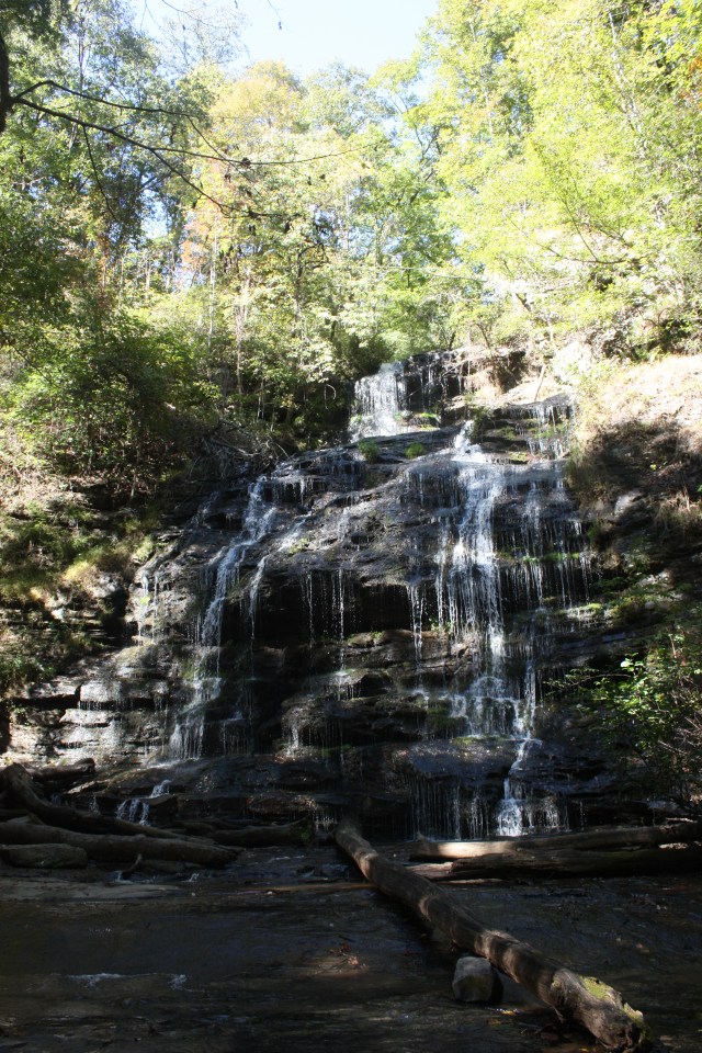
After that we drove the parkway for a while, there was fog on one side while the other was clear. We then stopped at a few wayside areas. One of which had a small falls and railroad exhibit. The pictures below are from there, it was pretty neat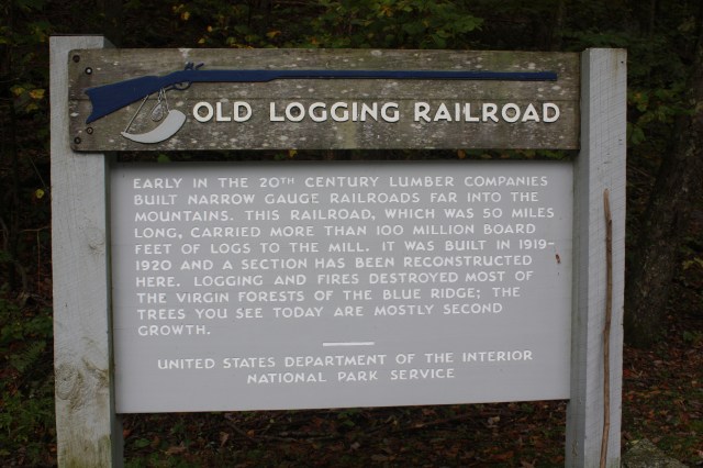

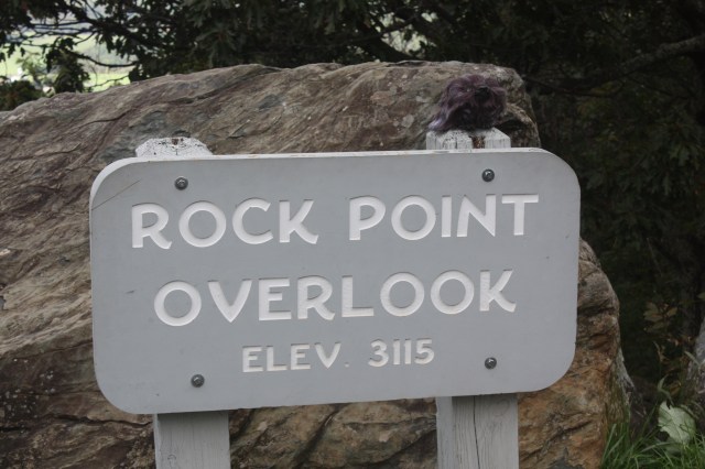
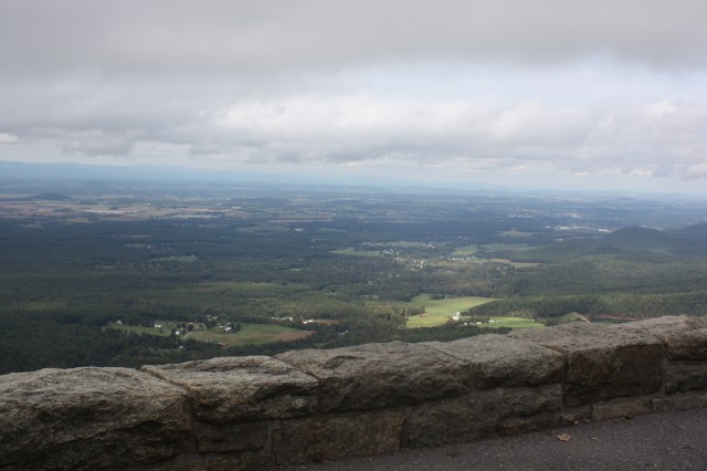
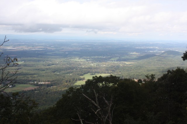
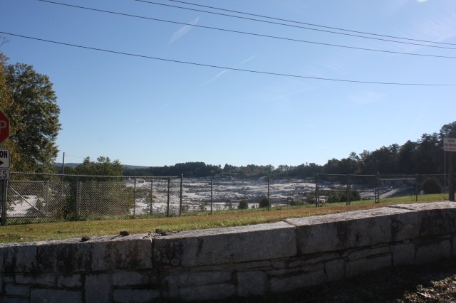
A stop at Rock point overlook with a few pics of the valley.
After that we drove back to Staunton and had dinner at the Cracker Barrel. I had the trout which was very good with mashed potatoes and green beans. Melissa had Chicken and Dumplings which she said was good. Then we went back to the campground and relaxes, we were pretty beat after that hike, but us old geasers did it. What a day!!!!!!!!!!!!
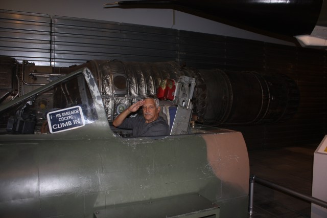


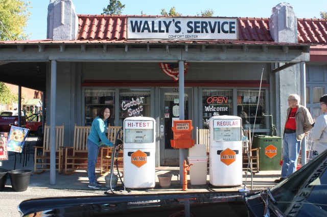
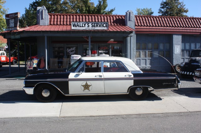

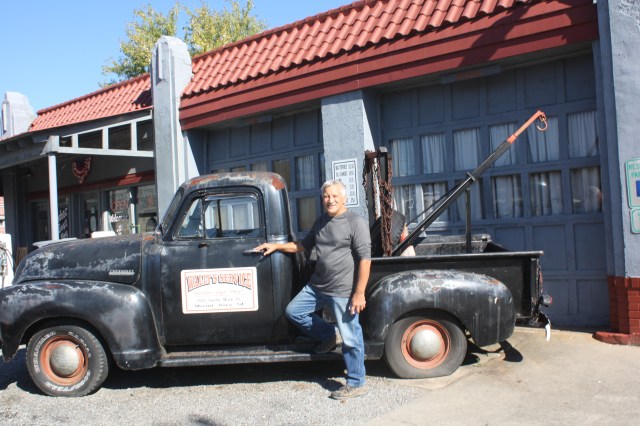 My new ride, needs a little fixin though.
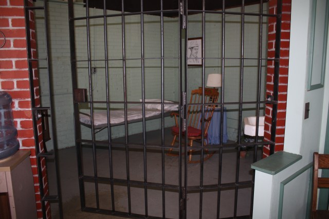 Otis’s jail cell.
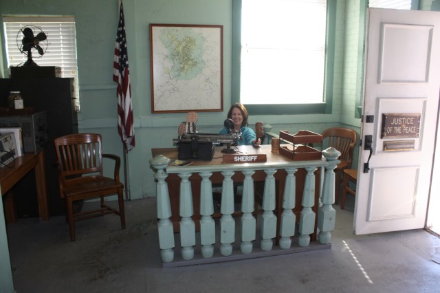 Melissa makes a good judge
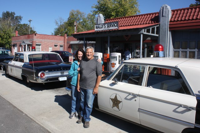
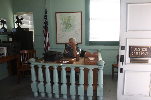 A new sheriff is in town. Someone actually asked me if I worked there while I was in the chair??