BOZEMAN TRAIL HISTORIC TOUR

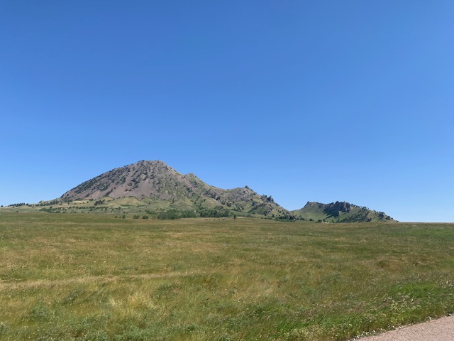
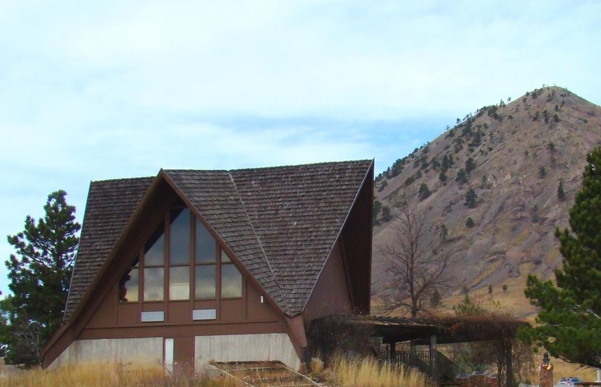
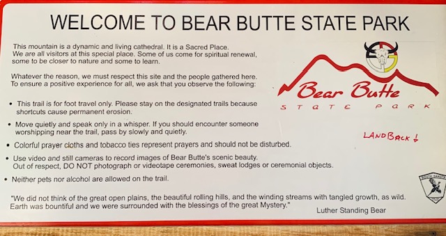
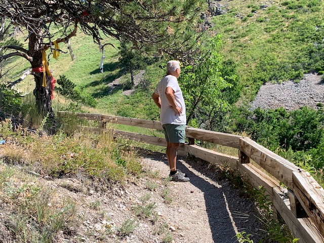
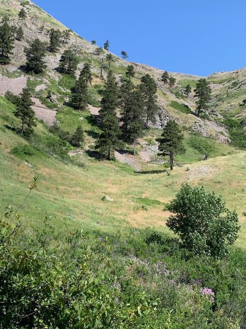
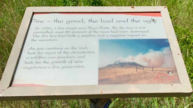
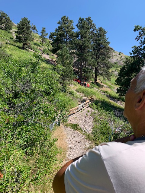
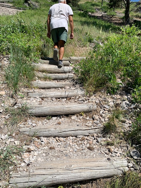
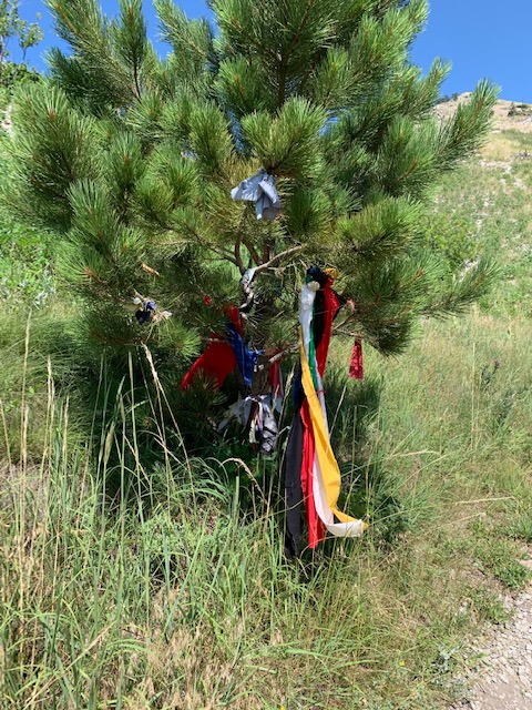
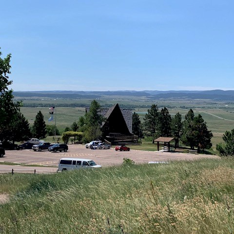
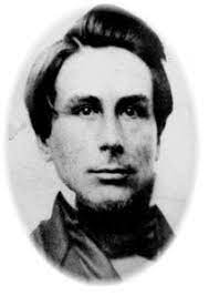
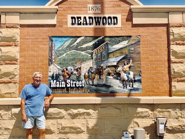
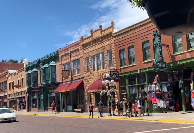
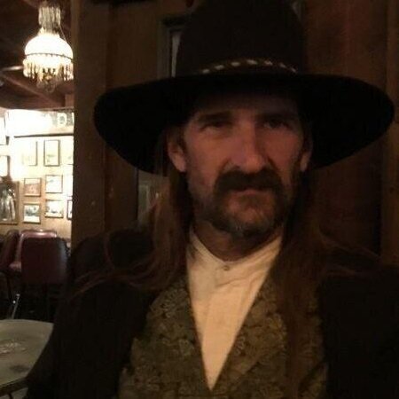
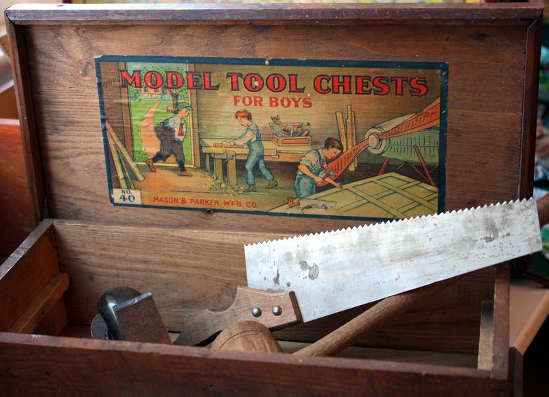
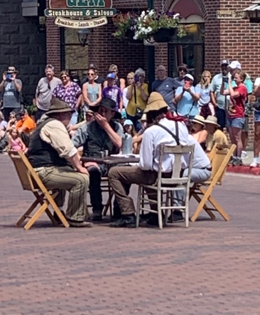
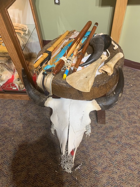
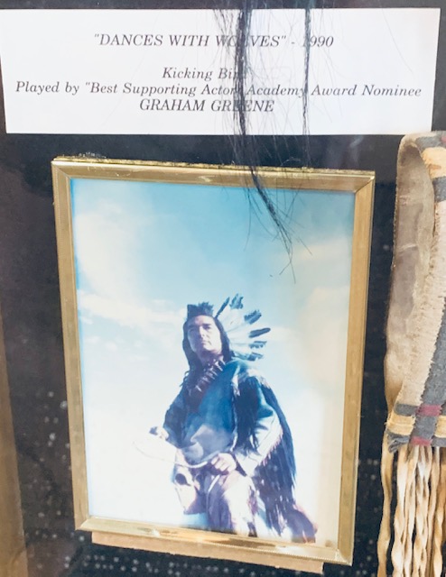
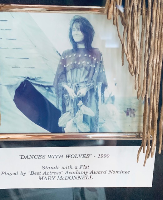
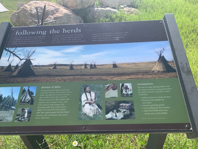
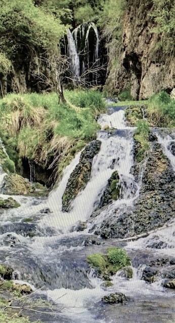
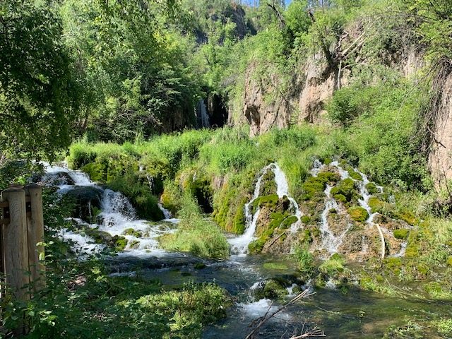
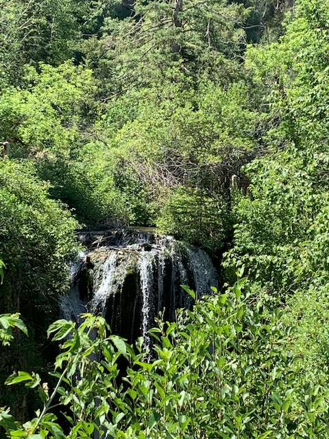
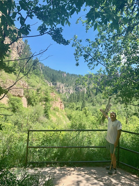
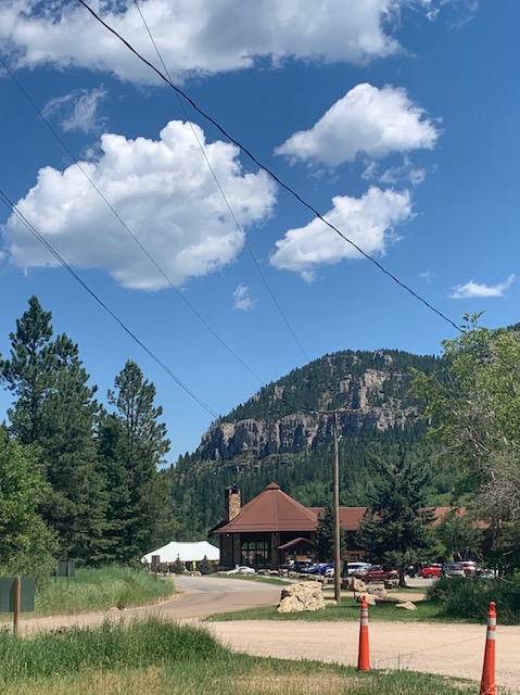
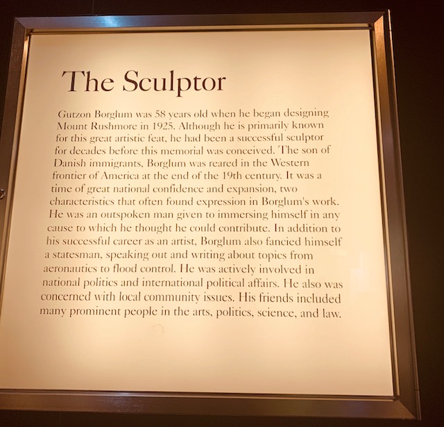
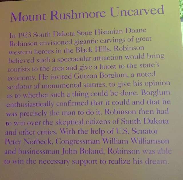
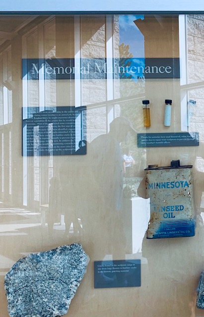
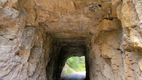
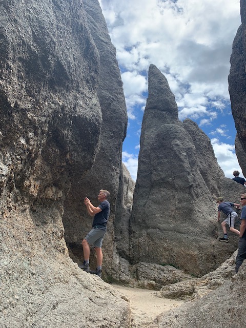
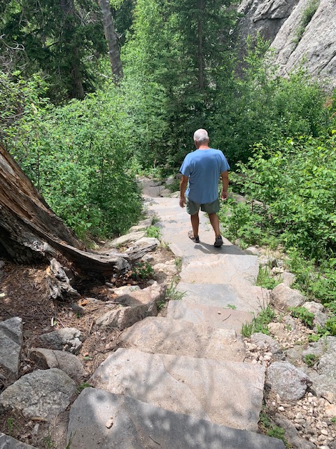
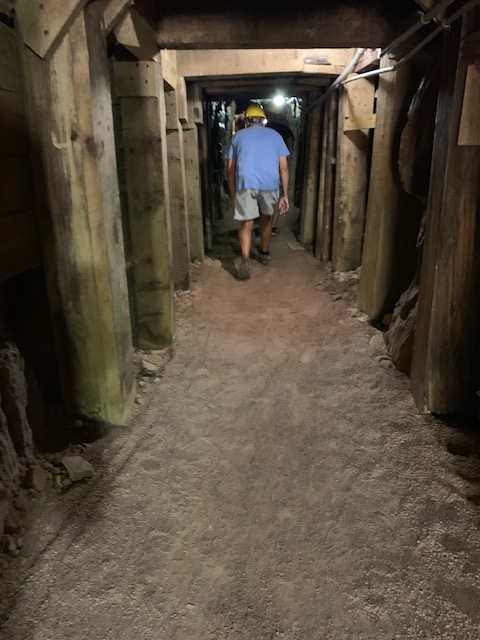
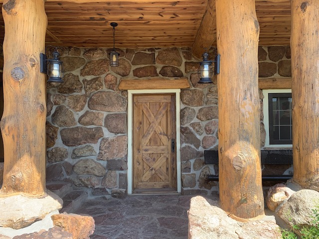
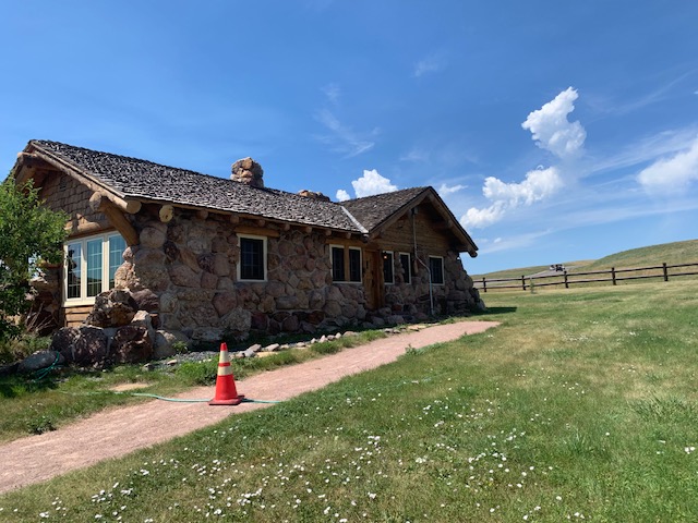
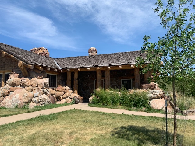
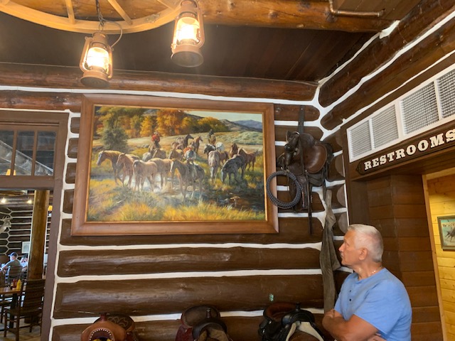
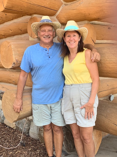
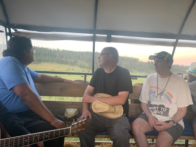
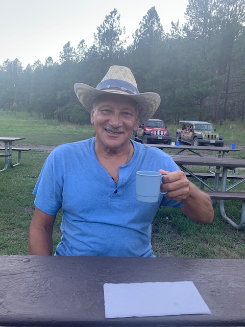
With all the history of Sheridan and the Custer battlefield not being that far away, we decided to hire a local guide outfit to show us the history of the area. We were not disappointed. Mike Kuzara who owns and operates Thunder Mountain tours was our guide for the day. Mike was born in 1939, yep, he is 83 years old, and a true cowboy, his family homesteaded here in the late 1800’s. He is a true historian, still plays in a band, and knows everyone here. It was a great time meeting him and learning all the fantastic, and tragic history of the area.
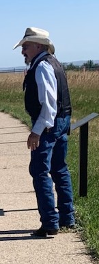
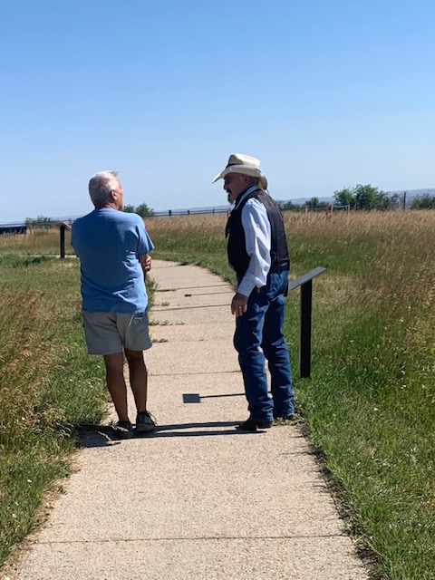
Our Guide Mike

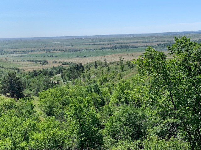
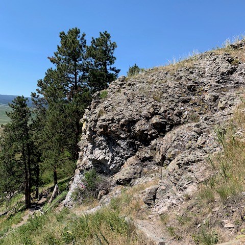
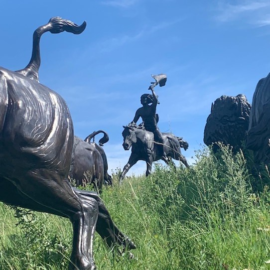
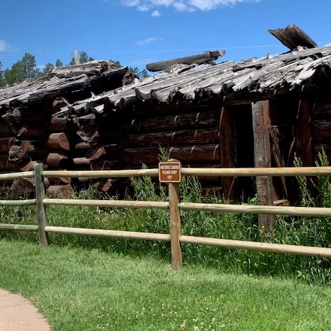
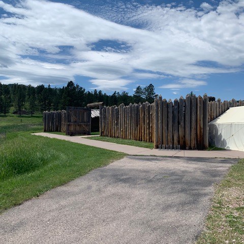
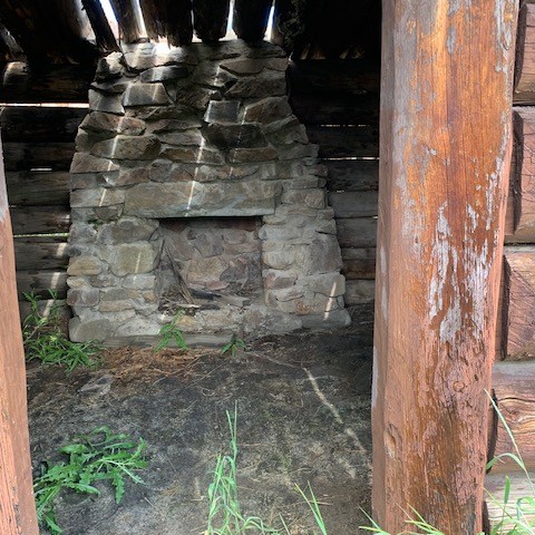
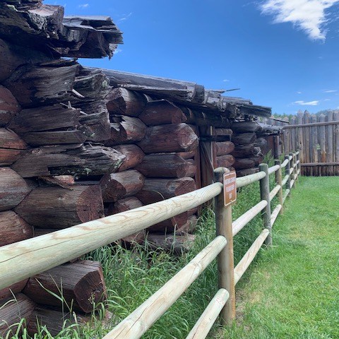
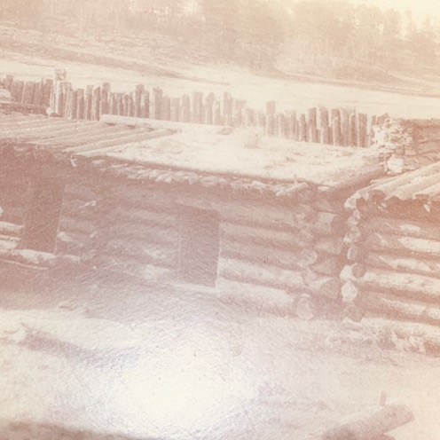
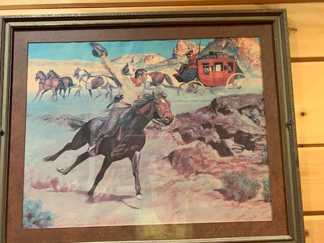
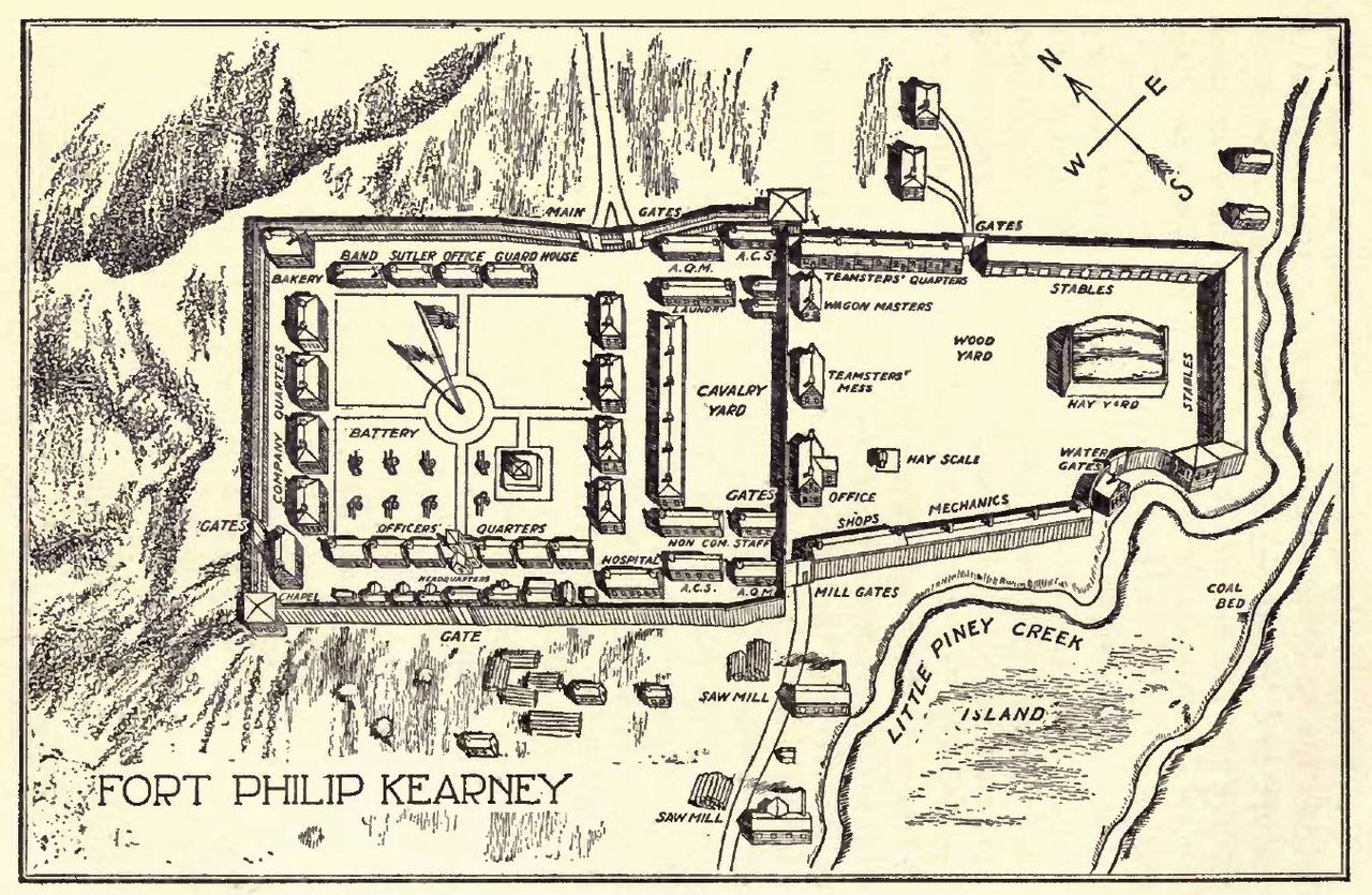
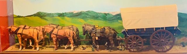
The Bozeman trail, similar to the Oregon trail, was put into use because of the gold discovered, in Montana, so it traveled northwest, unlike the Oregon trail which went west. It branched off the Oregon trail in lower Wyoming and skirted the east side of the Bighorn mountain range, following streams, rivers, low land. All the while being in Crow Indian Territory. For many years, they had no problems with settlers traveling through. Then in the early 1860’s the Sioux Indians came in and pushed the Crow over to the west side of the Bighorn mountains. The Sioux did not follow any treaties and soon settlers were being killed. The U. S. Army then decided to put up a few forts, along the trail, one being Fort Phil Kearny, near present day Sheridan, it was huge, enclosed in the 17 acres of wooden stockade, was everything you could have to run an efficient fort. The fort operated from 1866 to 1868 when the railroad came through and made the Bozeman trail, obsolete. The fort was abandoned and the Sioux burned it to the ground.

The fort’s 400 or so troops, were very little help in keeping the settlers safe, they were busy fighting the Sioux constantly. At this time the Army was still using muzzled loading rifles, while settlers and wagon train men had some henrys and other repeaters. Still the Sioux raided, pillaged and killed whenever they could. A few noteworthy battles were fought.

The Conner Battle, or Tongue River battle, took place just before the fort was built and was built because of this skirmish. Brig General Conner was sent on a campaign to suppress the Cheyenne, Sioux, and Arapaho Indians from all the raiding going on. they surprised a Arapaho village and attached and burned it to the ground. This enraged Red cloud chief of the Sioux and all three tribes banded together to fight the Whiteman, setting the stage for the next two years of bitter fighting.

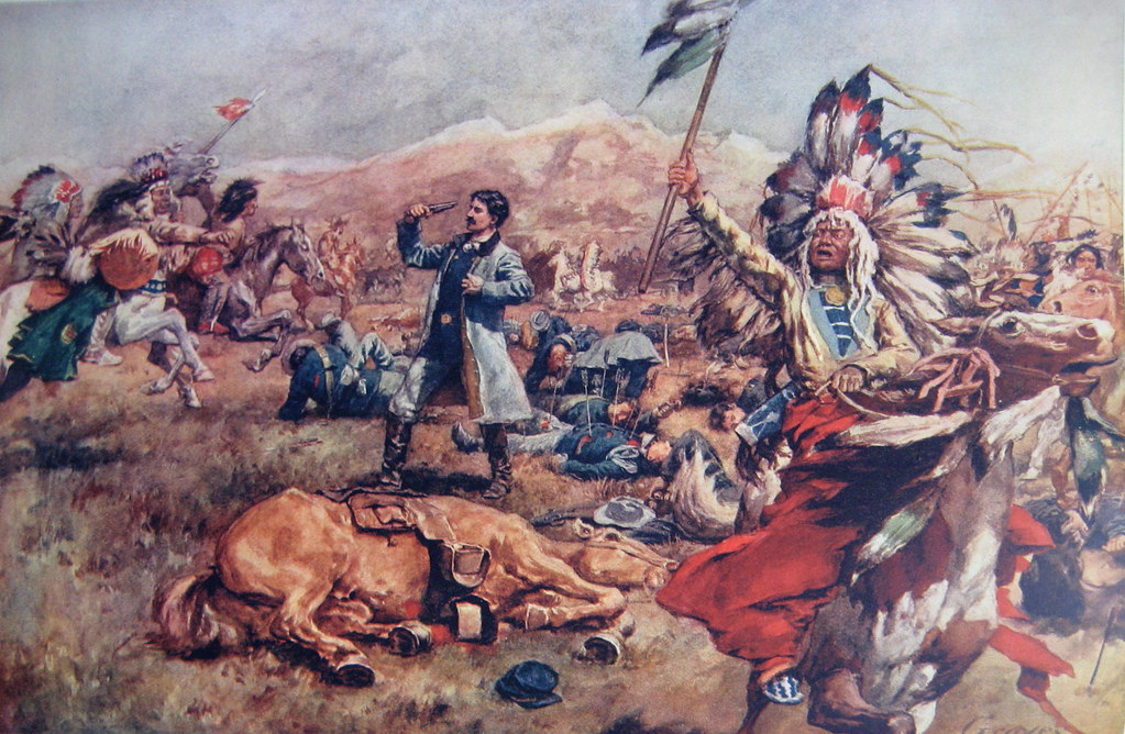
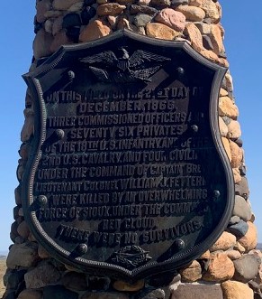
THE FETTERMAN FIGHT OR FETTERMAN MASSACURE

On December 21, 1866, a group of woodcutters out about two miles from Fort Kearny were attacked by a small group of Indians. Word came to the fort, and Captain William Fetterman was ordered to rescue the men. He took with him about 80 troopers, most raw recruits. When he reached the besieged wagon train, the Indians fled. They were led by Crazy horse, this was all a decoy and Fetterman fell for the trap, he pursued them to Lodge trail ridge where over two thousand Indians were waiting. It lasted only 30 minutes, all were killed, some having over eight or more arrows stuck in there bodies. They were then mutilated as was the custom of the Indians. All but one that is, the bugler when found was covered in a buffalo skin. Accounts say that he was the bravest as he had no weapon, and fought with his bugle only. The Indians as an honor left him alone and just covered him as was there custom for bravery.
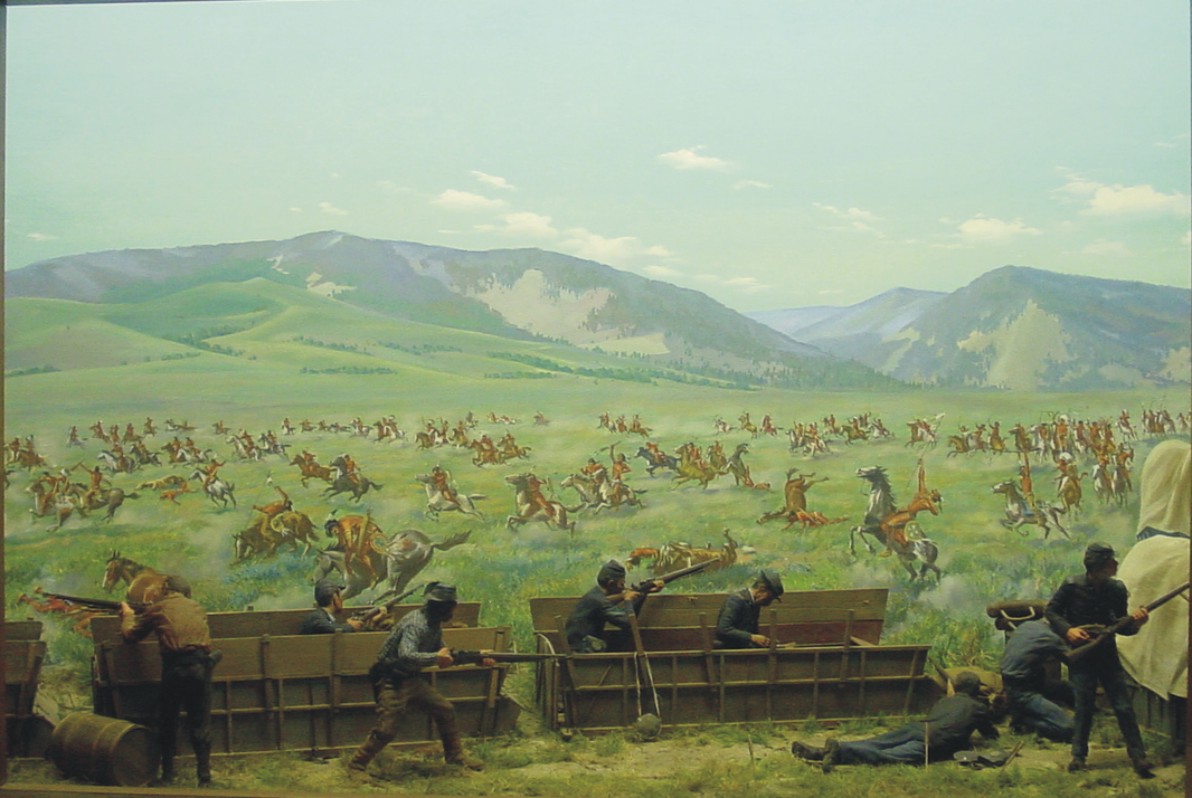
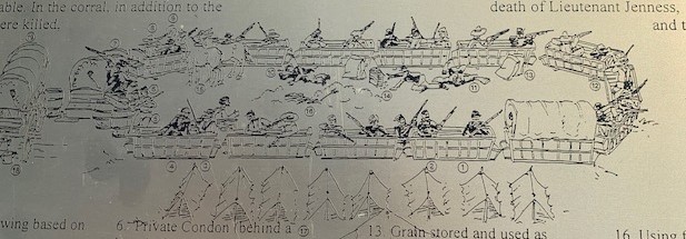
WAGON BOX FIGHT

On August 2, 1867, a group of soldiers and woodcutters were camped down in the little Piney creek area, where they were cutting down pine trees to use for fire wood, stockade posts and the like. As was the custom, they took off the wagon boxes from the wagon and put them in a large oval, with all there supplies. The wagon carriages, without the wagon box were then loaded with the wood they had cut down for ease of transporting them back to the fort. A force of about six hundred Sioux attached the area, sending everyone inside the wagon box corral. This time the troopers had a new rifle, the breech loading rifle, able to shoot seven to eight rounds a minute as apposed to the one or two they could do with the muzzle loader they had earlier. This made all the difference in the world, with just about thirty men they held off a much larger group for hours until help arrived in the early evening, sending the Sioux on there way back.

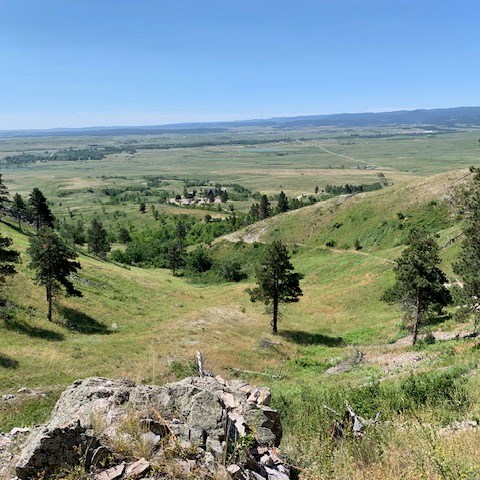
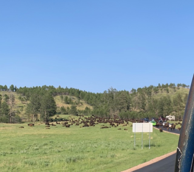
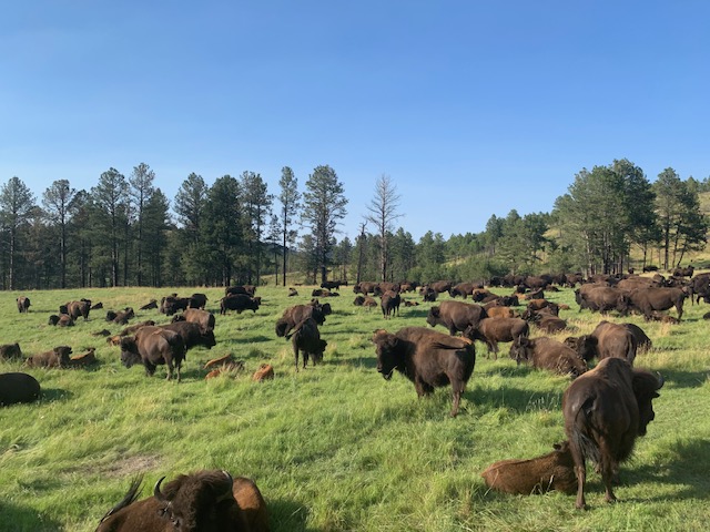
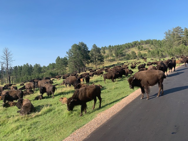
There were many other smaller fights, they say that for the two years the fort was there, one person was killed every day on average. As I mentioned earlier once the railroad came in, the Bozeman trail became obsolete. Some treaties were signed and for the next several years, an uneasy calmness hovered over the entire west. This was only the first half of our tour, the rest of the day was spent in lower Montana, along the Little Big Horn river, where in 1876, General George Armstrong Custer would meet his end. That’s for the next post.

SHERIDAN WYOMING

We are now at Peter D’s Rv park, in Sheridan Wyoming. This is the highest north and furthest west we are going this year. We drove 216 miles from Sturgis to get here, more and more mountains came into view, namely the Bighorn mountains. The park is nice, but spots are a little tight. Here we will visit the Custer battlefield, which is actually in Montana, and see other historic places here in Sheridan.

The Sacred Mountain of Bear Butte in South Dakota

Mato Paha or “Bear Mountain” is the Lakota name given to Bear Butte State Park. Bear Butte is a geological mountain of rock that formed millions of years ago near Sturgis.  It was established as a State Park in 1961. Along with its hiking trails, visitors can also enjoy fishing, kayaking, camping and rafting.

The Visitor Center is a tribute to many Indian tribes who came to the mountain. Even today the mountain is sacred to many native people, who make pilgrimages to leave prayer cloths and tobacco bundles tied to the branches of the trees along the mountain’s flanks. Other offerings are often left at the top of the mountain. There is also various religious ceremonies that take place throughout the year. The mountain is a place of prayer, meditation, and peace.

Famous Indians like Red Cloud, Crazy Horse, and Sitting Bull made pilgrimages to the site. In 1857, a council of many Indian nations gathered at Bear Butte to discuss the growing presence of white settlers in the Black Hills. They have discovered Indian artifacts dating back 10,000 years here at Bear Butte.

Indians had more than 150 different uses for the various bison parts. The bison provided them with meat for food, hides for clothing and shelter, and horns and bones for tools. They would even use the bladder to hold water. Everything the Plains Indians needed for life, the bison provided from its body.

The Indians believed they shared the Earth with their animal relatives, especially the bison. The Indians were thankful for the gifts the bison provided them every day and had many ceremonies to Mitakuye Oyasin, or all are related/all my relations to express gratitude for the connectedness of life. The bison gave the gift of life by sacrificing its own: the flesh and blood of the bison were a part of the flesh and blood of the Plains Indians.

Bear Butte Mountain Trail

While we were on the mountain you could sense and feel you were on scared place. A holy place and you felt at peace. The idea of Indians tying colorful cloth around the trees, would like me being a Christian, putting a cross on a tree.

An Inspiring place for sure.

Our next venture was back to Sturgis were we are staying

We took a walk thru Strugis only 3 weeks before the Big Rally. They were starting to prepair for all the bikers coming in from all over the world.

Another great day in South Dakota!

Great Faces, Great Places . . . How True

A fun Day in Deadwood, SD

Few towns capture the chaos and lawlessness of the American frontier as well as Deadwood, South Dakota. The illegal settlement sprung up in the 1870s as many drifters, drunks, and criminals sought fortune during the Black Hills Gold Rush. The community quickly gained a reputation for rampant crime, constant murders, and a surge in illicit acts, including gambling and prostitution.  Today, the town has embraced its legacy, offering many activities to help visitors enjoy themselves and learn about the town.

Our first stop was to the visitor center, there we decided to go to  Mt. Moriah Cemetery.

 Mt. Moriah Cemetery in South Dakota is the final resting place of many people and characters of the American old west including Wild Bill Hickok, Calamity Jane, Potato Jack and several others. It sits high on the hill above the town of Deadwood South Dakota. They made Deadwood famous, so we just had to pay our respects.

James Butler Hickok, better known as “Wild Bill” was a wagon master, soldier, scout, lawman, gunfighter, gambler, showman, and actor who was well known in the American West.

In the spring of 1876, Hickok arrived in Deadwood, South Dakota. There he became a regular at the poker tables of the No. 10 Saloon, but not having much luck, but barely surviving as a card player. On this day in 1876, Hickok was playing cards with his back to the saloon door. At 4:15 in the afternoon, a young gunslinger named Jack McCall walked into the saloon, approached Hickok from behind, and shot him in the back of the head. Hickok died immediately. McCall tried to shoot others in the crowd, but amazingly, all of the remaining cartridges in his pistol were duds. McCall was later tried, convicted, and hanged.

Martha Jane Canary was a tobacco-spitting, beer-guzzling, foul-mouthed woman who preferred men’s clothing to dresses.  One of the rowdiest and adventurous women in the Old West, she was a frontierswoman and professional scout, truly ahead of her time. She was well known through the Hills as Calamity Jane, but how she got this nickname is a legendary debate. 

Jane took her siblings back to Wyoming, arriving at Fort Bridger on May 1, 1868. Taking whatever job that was available in order to provide for the family, she worked as a cook, a nurse, a dance-hall girl, a dishwasher, a waitress, an ox-team driver, and according to some tales, a prostitute. Calamity Jane was also a well-known humanitarian in Deadwood, nursing Deadwood residents stricken by the smallpox epidemic.

She and Wild Bill knew each other and had both been in some of the most dangerous towns of the West like Abilene and Hays City at the same time. They arrived together in Deadwood in the same wagon train from Cheyenne. She did say numerous times that her & Wild Bill loved each other, but Wild Bill never said he loved her. Her dying wish, allegedly, was to be laid to rest by Wild Bill Hickok.  And there she rests, an official Deadwood legend.

The Reverend Henry Weston Smith (January 10, 1827 – August 20, 1876) was an American preacher and early resident of Deadwood, South Dakota.

The Reverend Henry Weston Smith, known to the locals as “Preacher Smith,” had the misfortune of not only being murdered in Deadwood in 1876, but of being murdered only a few days after the famous Wild Bill Hickok was also murdered in Deadwood — which is probably why you’ve never heard of Preacher Smith. Before he left town on Sunday, August 20, on foot to deliver a sermon to the miners in Crook City, he supposedly told his friends, “The Bible is my protection. It has never failed me yet.” And then he was shot dead.

Smith’s murderer was never caught, although blame was placed on either unfriendly Indians or a hired killer, paid for by the owners of Deadwood’s brothels and saloons. Smith was eventually buried in the same cemetery as Wild Bill.

Just one more, Last but not Least!

John Perrett was panning in Potato Creek when he found a leg-shaped gold nugget. The nugget was reportedly the largest piece of gold ever found in the Black Hills. The lucky prospector became an instant Deadwood legend known as “Potato Creek Johnny.”

He is buried at Mt. Moriah Cemetery alongside Wild Bill Hickok and Calamity Jane. Upon the occasion of Johnny’s passing, the headline of the Black Hills Pioneer on February 21, 1943 read: “Potato Creek Johnny Crosses the Great Divide.” Thus another Black Hills character passed on into the annals of history.

And now we go into the town of Deadwood . . . .

Deadwood is on the list of the National Historic Landmark District.


Early settlers named Deadwood after the dead trees they found in its rivine.
The city was of Deadwood was established in 1876 and experienced its heyday from 1876 to 1879 after gold deposits were discovered there, sparking the Black Hills Gold Rush.
In its heyday, the town had a population of 25,000, and was filled with miners, gamblers, and outlaws.
Deadwood attracted famous Old West personalities such as Wyatt Earp, Calamity Jane, and Wild Bill Hickok. – as you know was killed here.

No rules. No regrets. That’s been the motto of Deadwood since the Gold Rush.

It’s changed a bit.

Our stroll down the Historic Main Streets of Deadwood was fun. As you can see we took a lot pf pictures and even saw two live re-enactments.

One was the re-enactment of Wild Bill’s Death. This is a fun play follows the Shooting of Wild Bill Hickock who was shot while playing poker by Jack McCall. Wild Bill was holding a hand of Aces and Eights (Dead Man’s Hand). This re-enactment is one of the longest running stage plays in America dating back to the 1920s

Wild Bill talked about his life, very interesting life by the way, and the card game took place and the rest is history.

The 2nd re-enactment was David Lunt being shot.

David Lunt was shot in the forehead, with entry and exit wounds, in the crossfire of a Saloon Fight in Deadwood, South Dakota. He resumed daily life until he died 67 days after being shot. There is no known explanation as to why Mr. Lunt survived so long after being shot.

One thing that hasn’t changed in Deadwood is that there still is many bars and casinos instead of saloons.

We checked out Celebrity Hotel because they have costumes that movie stars wore in various movies.

Deadwood. . . . Where else would you have a bar in a store?

All that FUN and they day wasn’t over yet.

We went to see Kevin Costner’s Tatanka – Story of the Bison

It’s only about 1 mile down the road from Deadwood but worth seeing.

There is a small museum owned by Kevin Costner. It’s not touristy, more of a respectful tribute to the buffalo.   The visitor center had a introductory film giving the background of the buffalo and the sculptures by Kevin Costner, a number of displays and souvenirs.

When your done you take a path outside to see the  Ta’Tanka its the 3rd largest bronze sculpture in the world.  It is composed of a total of 17 pieces: 14 bison being pursued by three Lakota riders on bareback. These figures artfully depict the earliest and most effective form of hunting bison called a bison jump.

Lakota Bison Jump” created by local artist Peggy Detmers

Another great day in South Dakota.

 Spearfish Canyon in S. Dakota

Gradually climbing from the town of Spearfish on the northern edge of the Black Hills, this canyon is one of the gateways into towering limestone cliffs and a rushing mountain stream.  Spruce, pine, aspen, birch and oak trees are along the hillsides. Spearfish Creek flows along the canyon bottom.

The 22-mile stretch of US Highway 14A known as Spearfish Canyon Scenic Byway.

The first stop is Bridal Veil Falls.

A quick stop as it was right next to the road.

2nd stop we walked along Spearfish Falls Trail

Just about a 1/2 mile down the trail is the falls

3rd stop Roughlock Falls

This trail is approximately 2 miles round trip and the surroundings were stunning.

Stop 4 was a surprise on the side of the road as it wasn’t on the map. What a beautiful surprise it was.

Also on the same stretch of highway we stopped at Cheyenne Crossing store, restaurant, bed & breakfast. We had lunch and it was very, very good. I had their famous Indian tacos and Dave had pulled pork.

STURGIS SOUTH DAKOTA

We are now at the Sturgis RV park, in Sturgis South Dakota. The park is very nice, the town is small and sort of dead. That changes during the motorcycle rally which is coming up soon, @ 3 to 4 hundred thousand come here, I have no idea how they fit them all, it must be bedlam. The three days we will be here we will be busy seeing the northern end of the black hills.

We left Rapid City this morning and it only took an hour to get here, drove 53 miles all together. That is the shortest yet, of a drive.

Our spot down yonder hill.

Sturgis

One of the most recognized American symbols . . Mount Rushmore

Mount Rushmore National Memorial features 60-foot sculptures of these four US presidents. The memorial covers 1,278.45 acres and sits 5,725 feet above sea level.

Upon entering the Memorial you see The Avenue of flags.

Next we went to the Lincoln Borglum Visitor Center. Where we saw a film about the making of Mt. Rushmore, and saw exhibits and displays.

Doane Robinson, South Dakota historian suggested building a monumental sculpture  in 1923. However, it was American sculptor Gutzon Borglum, who was hired to design and execute the project. He choose Mt. Rushmore for the site because it had solid granite., Borglum also proposed that the four heads in the sculpture symbolize the first 150 years of the United States: Washington to represent the country’s founding; Jefferson, its expansion across the continent; Roosevelt, its development domestically and as a global power; and Lincoln, its preservation through the ordeal of civil war.

To carve the four presidential heads into the face of Mount Rushmore, Borglum utilized new methods involving dynamite and pneumatic hammers to blast through a large amount of rock quickly, in addition to the more traditional tools of drills and chisels. Some 400 workers removed around 450,000 tons of rock from Mount Rushmore, which still remains in a heap near the base of the mountain. The fine details of the faces were achieved with a jackhammer. Operators hung from the top of the mountain in bosun chairs held by steel cables. Though it was arduous and dangerous work, no lives were lost during the completion of the carved heads.

Hanging from bosun chairs, oh what fun!

The first blast on the mountain occurred in 1927, shortly after its dedication by President Calvin Coolidge, and continued, off and on, for the next 14 years. Progress was hampered by periodic funding losses and design  changes.  

Before Borglum started he made a plaster model of what the sculptures would look like.  Over the course of carving Mount Rushmore, Borglum had to change his model nine times.  Borglum intended the sculptures of the four presidents to be from the waist up. Unfortunately Borglum died on March 1941, several months before the sculpture was finished. Congress ultimately decided, based on lack of funding, that the carving on Mount Rushmore would end once the four faces were complete by Borglum son Lincoln in 1941.

“Let us place there, carved high, as close to heaven as we can, the words of our leaders, their faces, to show posterity what manner of men they were. Then breathe a prayer that these records will endure until the wind and rain alone shall wear them away” Gutzon Borglum

Memorial Maintenance

Next is the Presidential Trail to walk along the base of Mt. Rushmore.

Along the walkway you come to the Borglum View Terrace & Sculptor’s Studio

There is a gift shop and Carver’s cafe where we had a bit to eat

We got to Mount Rushmore later in the afternoon so we could see the Evening Lighting Ceremony.

Each evening from late May through September, the evening lighting ceremony is held at dusk. It starts with a ranger talk, followed by a film, singing of the national anthem and then lighting of the sculpture. At the end of the ceremony they call all Veterans on stage and proceed taking down the flag. Definitely a patriotic ceremony.

Last but not least . . .

Mount Rushmore was named after New York attorney Charles E. Rushmore, who had visited the area in 1885.  Rushmore was visiting South Dakota for business when he spied the large, impressive, granite peak. When he asked his guide the name of the peak, Rushmore was told, “Hell, it never had a name, but from now on we’ll call the damn thing Rushmore.” Charles E. Rushmore later donated $5,000 to help get the Mount Rushmore project started, becoming one of the first to give private money to the project

Ya just never know . . .

Before it was carved.

Scenic Drives

One of the first drives we took was thru Wind Cave National Park. Besides having a really neat cave, they have a scenic drive that takes you to Rankin Ridge to a walking trail.

OFF WE GO

And now we’re back at Custer State Park . . . .

Driving the Iron Mountain Road

Iron Mountain Road, also known as 16A, is an unforgettable road for sure and a unique experience.  It has been said that it’s the most unusual and captivating road in America. Everyone that has experienced this 17 mile stretch in the Black Hills of South Dakota leaves with an opinion about this road, either good or bad this road will leave an impression. It was designed  and is a historical work of art to make you slow down, to see and feel things that you don’t experience every day .

Our first view of Mount Rushmore was through The Scovel Johnson Tunnel.

 The road takes you thru the town of Custer where we came upon this stockade.

 The Gordon party was named after its leader, John Gordon. The party was made up of twenty-six men, one woman, and one small boy. The party came to the Black Hills in December 1874. They built a stockade and stayed through the winter. In April, the United States Army came and took them out of the hills.  They decided to just settle here, dig for gold until they got caught and the best thing was they never got in any trouble for it, they didn’t even have to pay a fine.

The only woman in the party was Annie D. Tallent. Her husband and their nine-year-old son were also along. Annie Tallent later wrote a book about her experiences. It is called The Black Hills; or, The Last Hunting Ground of the Dacotahs. She later moved to the Black Hills, where she taught school. She was also superintendent of schools for Pennington County.

Our next stop . . .

The Needles  Highway was completed in 1922.. The whole road was marked by foot & horseback by former South Dakota Governor Peter Norbeck.  Needles Highway in South Dakota seemed almost impossible to build.  There are giant “granite needles” – large rocks that look like needles all along the path.  To create a road they had to blast through the needles to create tunnels.  It was designed to hit the most beautiful parts of Custer State Park.  The 14-mile stretch has a speed limit of 20 mph and many places to pull off the road to take in the views.

The most famous part of the drive is the Needle Eye Tunnel. This one-way tunnel is only  8′ 4″ wide by 12′ 0″ high.

Before entering any of the tunnels you have make sure no other car is coming from the other end and gauge the size of your vehicle.  It’s also a good thing to honk to make sure your safe, It’s a tight fit.

The Peter Norbeck National Scenic Byway, which contains both Iron Mountain and Needles Highway is  named one of the 10 Most Outstanding Byways in America.  I gotta say it has truly amazing scenery everywhere!   Both highways are also on the most 5 dangerous roads in South Dakota, being numbers 1 and 2. Dangerously sharp hair-pin turns, rapid-climbing lengths of roadway, narrow tunnels through rock formations and driver’s not going the speed limit, on the average it’s 25 miles an hour, plus both of these roads have no winter maintenance.  So if your planning a visit to Custer State Park don’t go in the winter and have lots of time to spend.  

Sylvan Lake, commonly referred to as the “crown jewel” of Custer State Park. The lake was created in 1881 when a dam was built across Sunday Gulch.    We took a trail around the shore of the lake. It was only 1.6 miles but it was worth it.  It was mostly a dirt trail with some stairs and we got to climb on some boulders to stay on the trail. Plus all around the lake trail  there was breathtaking views.

I keep following this guy in the blue shirt.

You can also swim, boat or fish in the lake.

The Blue Star Memorial Highway marker on Highway 83 was erected by the South Dakota State Federation of Garden Clubs.  Blue Star Memorial Highways are highways in the United States that are marked to pay tribute to the U.S. armed forces.

THERE’S GOLD IN THEM THERE HILLS AND CHAIN SAWS

The other day we went to keystone to the Big Thunder Gold Mine. we did a tour and filed a claim for gold panning. In 1874 General George Armstrong Custer led an expedition into the Black Hills, to map it out, at that time it was part of a large Indian Reservation. In the creeks they found gold, Actually placer gold or flakes. Soon, thousands upon thousands of people arrived to strike it rich. Soon after that little towns like Keystone, Lead, Deadwood and Hill city sprang up. While placer gold was found, not enough of it was found to make you rich, so mining into the hills was done, hundreds and hundreds of mines were dug. Enough Gold was found to keep going. Two German immigrants, named WB Krupp, and JA Engles, who already were working full time in a gold mine, decided to file a claim and try it themselves. They name it Gold Hills Lode, and began in 1882. They were not rich so they had to use hand tools to dig there mine, namely a two foot long rod with a point on the end ,and a ten pound hammer. After work they worked there mine for four hours a day. One two foot deep hole was done in a four hour night. Eight holes were needed so they could fill it with dynamite and were ready to blast. The blast took out a two foot deep by six feet high area. Then it took them two nights to clean the rock out. In a month they went five feet into the hill. Along the way then bought a sheet of iron six foot by four foot. They propped it up before they blasted, this contained the debris, so it could be removed easier. To the locals this sounded like thunder, thus the name Big Thunder. They did this month after month year after year, never really finding anything. After twenty eight years, they finally got a air driven drill and made more headway. Thirty five years later with little to show for it, they found an area with pockets of Gold, which amounted to four or five ounces. The bad part was that they soon figured it out they were on someone else’ claim. So they grabbed the gold, sold the mine and were never seen again. In all they got into the mountain 680 feet. It was a neat tour and learned a lot.

Interesting fact about Gold Fever, it was not because of the excitement of gold digging, it was an actual disease, although they did not know it at the time. When miners found ore that contained gold they filled there carts and transported them to the mill, where a machine would pulverize the rock it all would slide down the copper table and the gold would stick to the bottom, WHY, it was coated with Mercury. It would be picked up, then over to the assayers office, who also handled the gold, then weighed and put in the strong box to be transported to a large bank. Everyone handled the gold, soon after they would start to get excited , anxious and then go somewhat insane. hence the term Gold Fever. Below is a picture of the pulverizer.


After the tour we filed a gold claim, which is just paying money for a pan. you get a quick lesson on gold panning, then you go the the panning area which is large trays filled with creek bed material. You scoop some into your pan and start panning for Gold. It was a lot of fun, stayed four hours, and found a good many placer (flakes) of gold. So we both can say We found Gold in them there hills. EUREKA

Also in Keystone was a company that does chain saw carvings, it was really neat, some amazing carvings.

Scenic Trails & a Chuck Wagon

Encompassing 73,000 acres in the Black Hills, Custer State Park is home to abundant wildlife and truly incredible scenery everywhere you look! It’s among the largest state park in the continental United States and  It was named for George Armstrong Custer, who led an expedition that discovered gold along French Creek in 1874.    

The park grew rapidly in the 1920s, and acquired additional land; during the 1930s the Civilian Conservation Corps made many park improvements. The CCC men laid out campgrounds and picnic areas, built a massive park museum, miles of roads, bridges and a stone fire tower. They also constructed three dams creating Stockade, Center and Legion Lakes. An additional 22,900 acres were added to the park in 1964.

This amazing park has scenic roads that go all thru and around the park. On Saturday July 9th we drove on a few scenic roads, one was Wildlife Loop Road. Wildlife Loop goes through prairie and ponderosa pine-studded hills, this is where many of the parks wildlife inhabitants live.

Prairie Dogs, their so cute.

We were driving along and the Big Horn Sheep came from the other direction to say “Hi.”

Legion Lake on Wildlife Loop Road

A look out spot.

The Donkey’s came too.

The Bison Center tells the story of Custer State Park’s bison herd and hopes to educate future generations on the importance of bison through engaging and dynamic interpretive displays.
The free roaming herd of nearly 1,400 bison at Custer State Park is one of the world’s largest publicly owned bison herds.

“The Wildlife Station Visitor Center is located on the loop. You can park and ask the staff about the prairie habitats of the animals, or find out where you might see a herd of bison and other wildlife.

It’s a really neat old building that was originally built as the Buffalo Herdsman’s house and over the years has housed the herdsman and other park staff but recently became a Visitor Center around 1990. Inside you will witness the unique craftsmanship of the CCC era as well as exhibits, wildlife mounts and a bookstore.”

 A hayride and a hoedown!

Seeing the animals we saw was on the loop was great and we were in store for another great adventure. We took an Old Fashion Hayride to a Chuck Wagon dinner feast. 

The Blue Bell Lodge where we left from.

Be part of a Blue Bell tradition. This old-fashioned hayride takes you on a 45-minute scenic wildlife tour on the park’s beautiful backroad to a mountain meadow canyon for a chuck wagon feast. On the way, you can sing along to classic country and folk music! Each paying guest gets a souvenir cowboy hat and bandanna to help you play the part. That’s what they advertised, we got delayed about an hour on our hayride to dinner by . . .

Buffalo! The buffalo herd decided to block the road so we had to wait for them to move out of the way. Keith said this happens about once a year when the buffalo roam. It was a great way to see the buffalo herd all around us. Talk about up close and personal!

Keith kept singing, playing the guitar and harmonica while we waited as well as tell jokes and stories.

Menu includes your choice of either an 8 oz. choice sirloin steak or a 1/3 lb hamburger, with all the fixin’s:  Cowboy beans, Cornbread and honey, Potato salad, Coleslaw, Watermelon, Cookies, Chuck wagon coffee and  Lemonade. Everything was so delicious.

It was an enjoyable time with a great group of people and when we left some Buffalo come by to say so-long, fair well.

🎶 Oh give me a home where the buffalo roam 🎵