We’re driving down highway 40 once again, headed to Crossville Tennessee. This song y’all know keeps going thru my head.
🎵Wish that I was on ol’ Rocky Top Down in the Tennessee hills Ain’t no smoggy smoke on Rocky Top Ain’t no telephone bills
Rocky Top, you’ll always be Home sweet home to me Good ol’ Rocky Top Rocky Top, Tennessee Rocky Top, Tennessee Rocky Top, Tennessee
Once I had a girl on Rocky Top Half bear, other half cat Wild as a mink, but sweet as soda pop I still dream about that
Rocky Top, you’ll always be Home sweet home to me Good ol’ Rocky Top Rocky Top, Tennessee Rocky Top, Tennessee🎵
I couldn’t tell y’all who was the first to sing it but a lot of people have.
I got you singing it now, don’t I ? 🎵🎶🎵
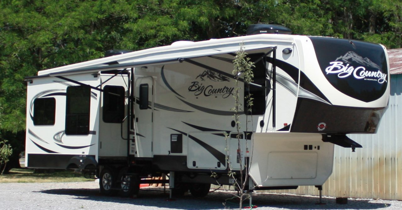
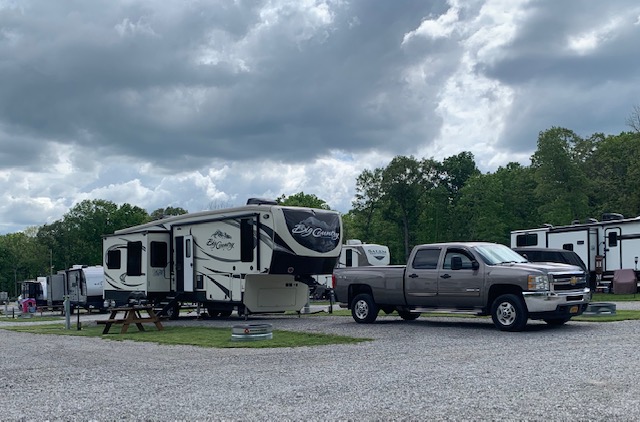
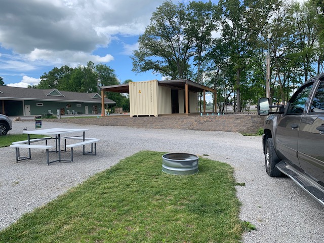
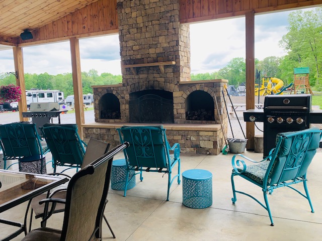
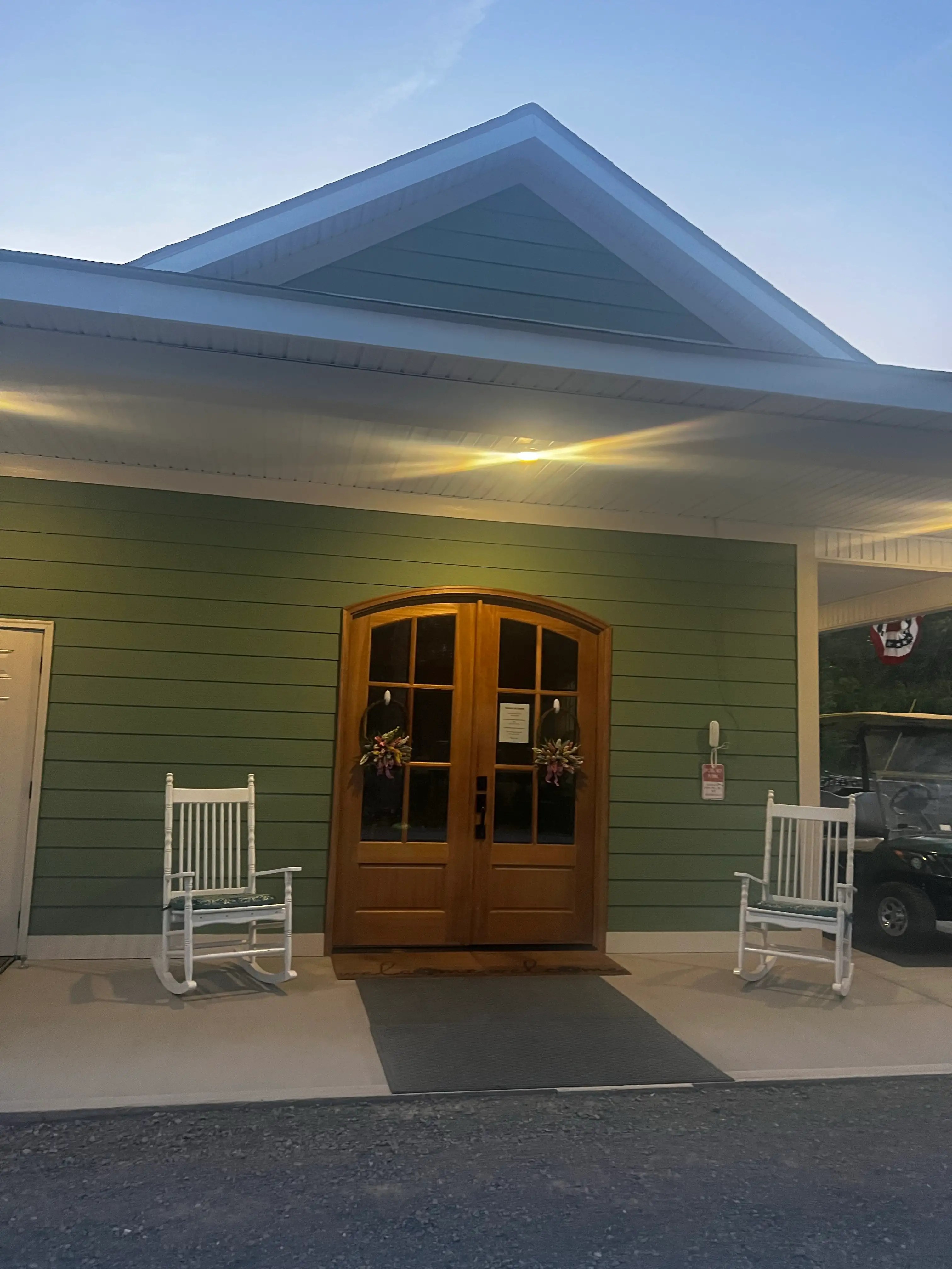
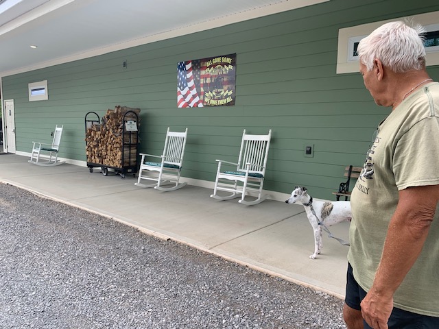
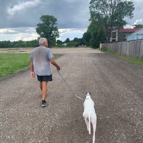
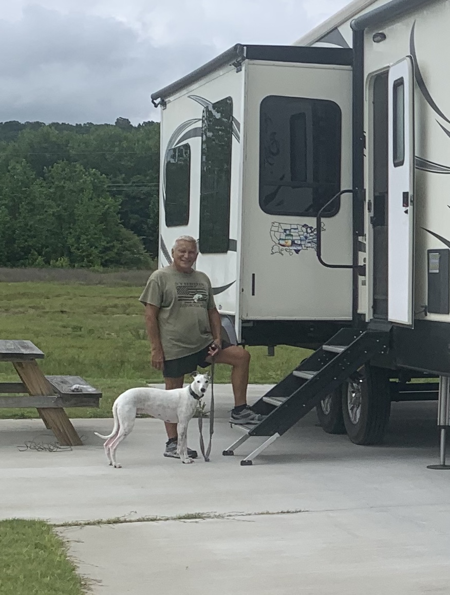
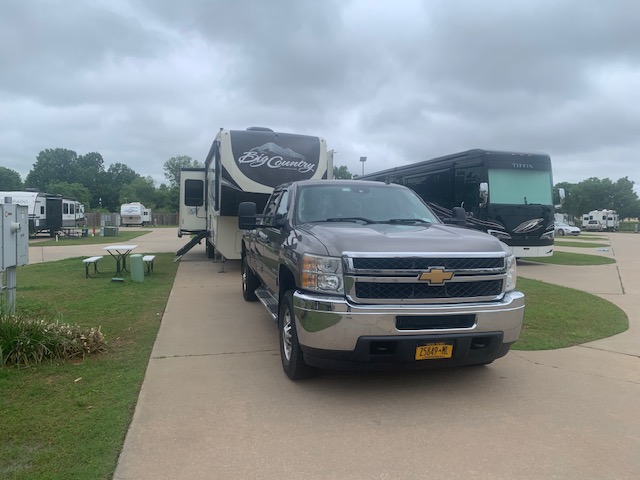
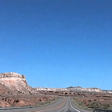
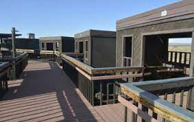
We drove 217 miles to Our site #7.
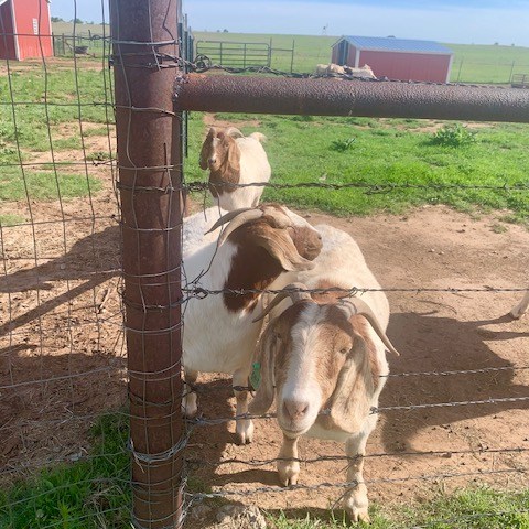
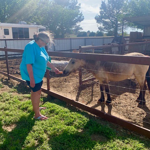
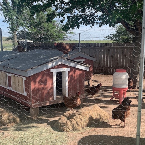
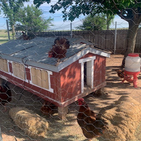
The park is just 3 years old so it’s still nice and new. They are making it for a family to be able to stay for awhile if they want. They do have a lot of permanent RVs here. Very nice place.
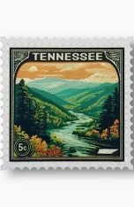
Can you remember when stamps were 5 cents ? Way Back When?
Anyway, Hit the Hay” or “Cash out for the Night” Have a good one!
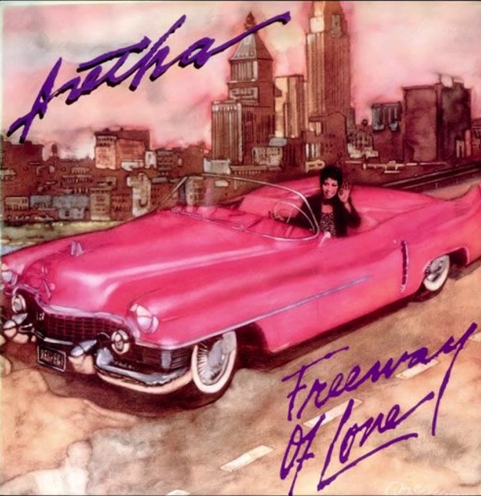
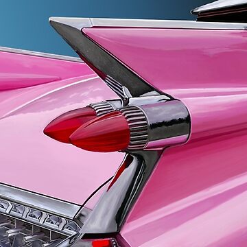
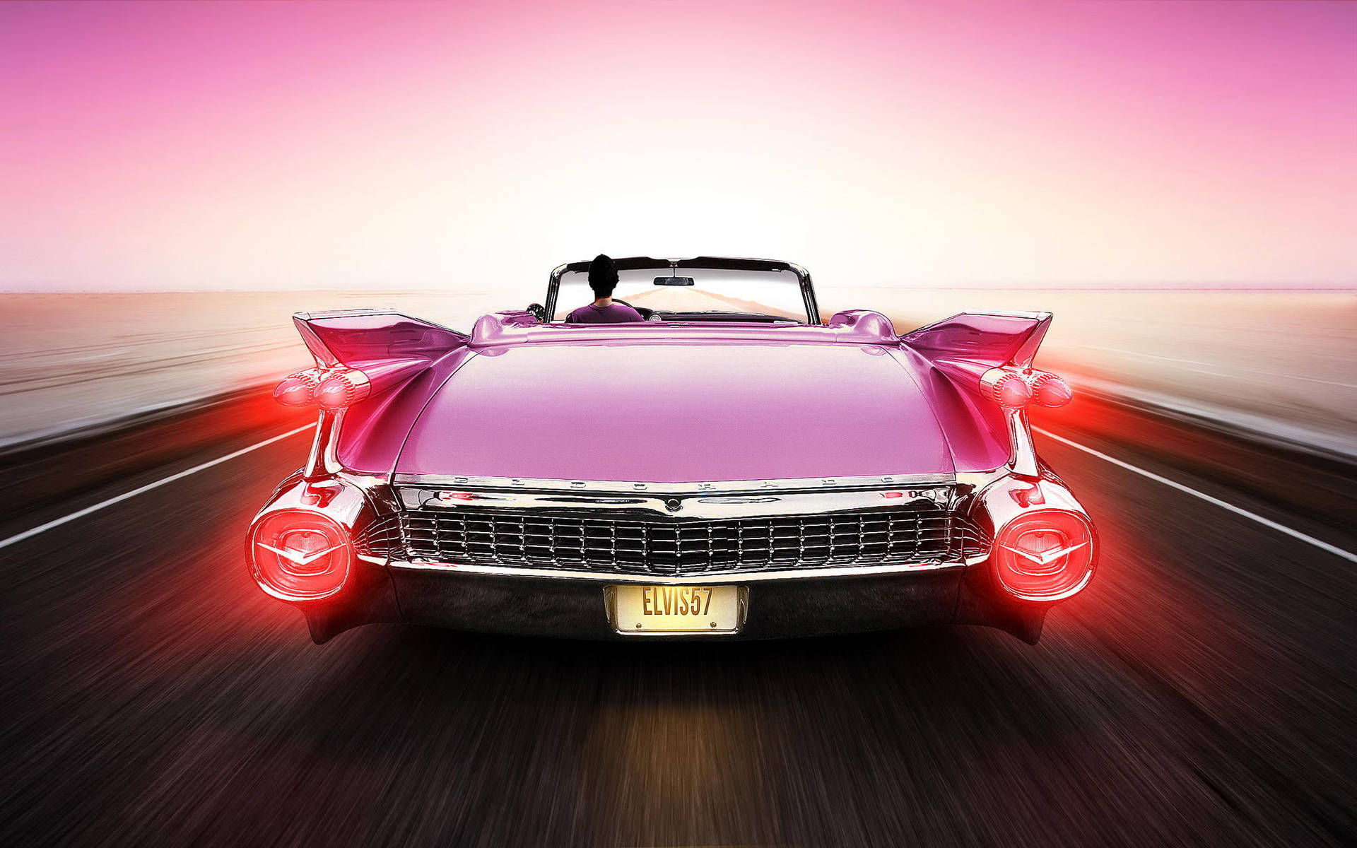
It’s gotta be nice going down the freeway, highway, street or road in a Pink Cadillac
Pink isn’t my color but I wouldn’t care.
♪♪ Knew you’d be a vision in white How’d you get your pants so tight? Don’t know what you’re doin’ But you must be livin’ right Yeah
We’re goin’ ridin’ on the freeway of love Wind’s against our backs We’re goin’ ridin’ on the freeway of love In my pink Cadillac We’re goin’ ridin’ on the freeway of love Wind’s against our backs Ain’t we ridin’ on the freeway of love In my pink Cadillac ♪♪
I Always liked “Freeway of Love” by Aretha. But Bruce’s Pink Cadillac song isn’t bad,
♪ I love you for your pink Cadillac Crushed velvet seats Riding in the back Cruising down the street Waving to the girls Feeling out of sight Spending all my money On a Saturday night ♪
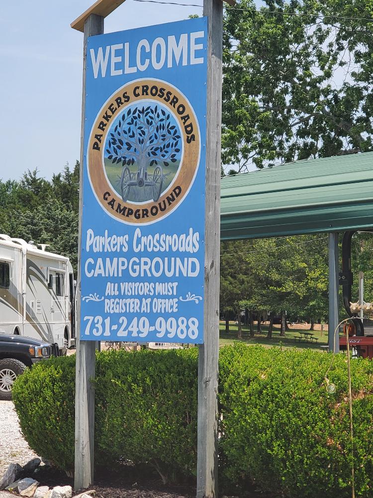
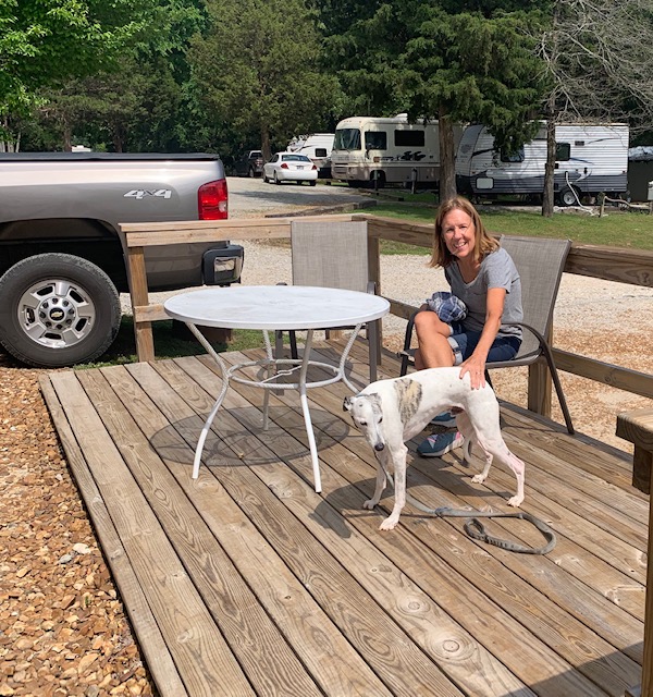
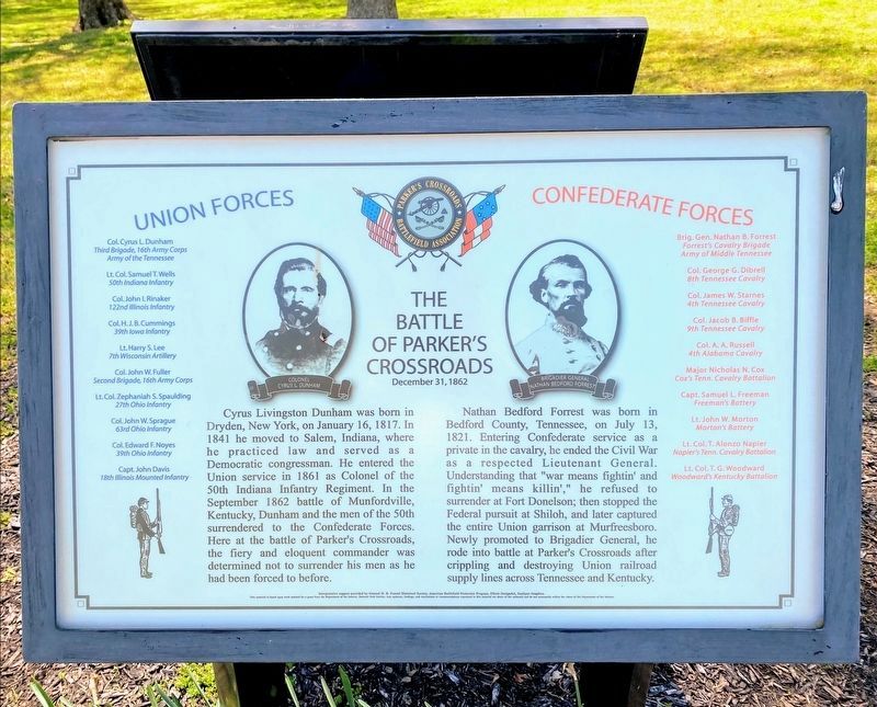
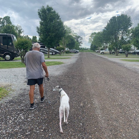
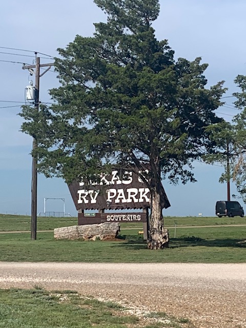
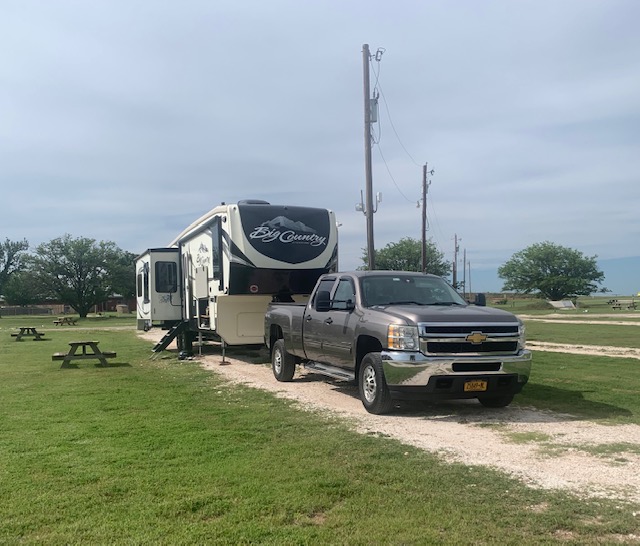
We got to Cross Parkers Crossroads RV Park yesterday May 9th and we’re leaving tomorrow May 11th. Dave drove 163 miles to get here.
We were at this campground in August 2022 and liked it so we came to spend two nights.
Our site is #15
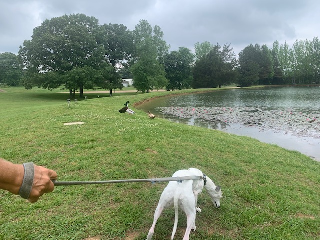
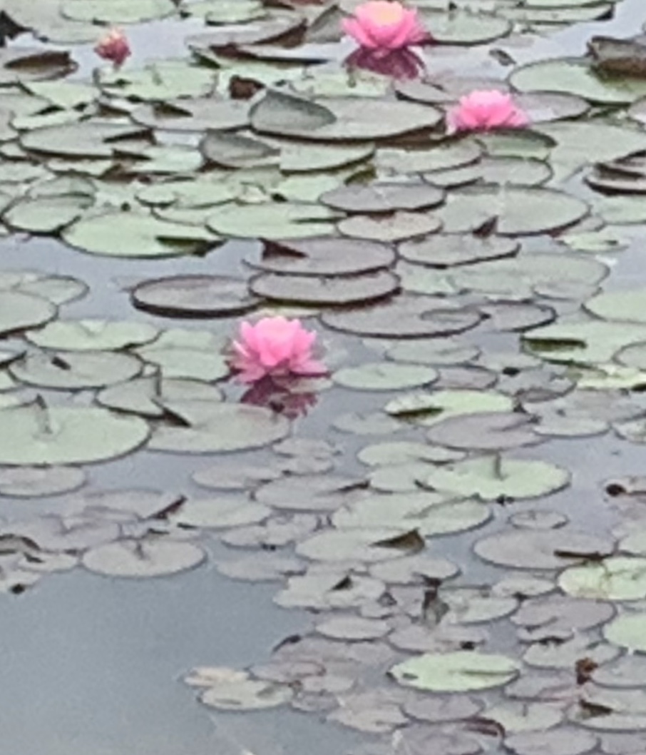
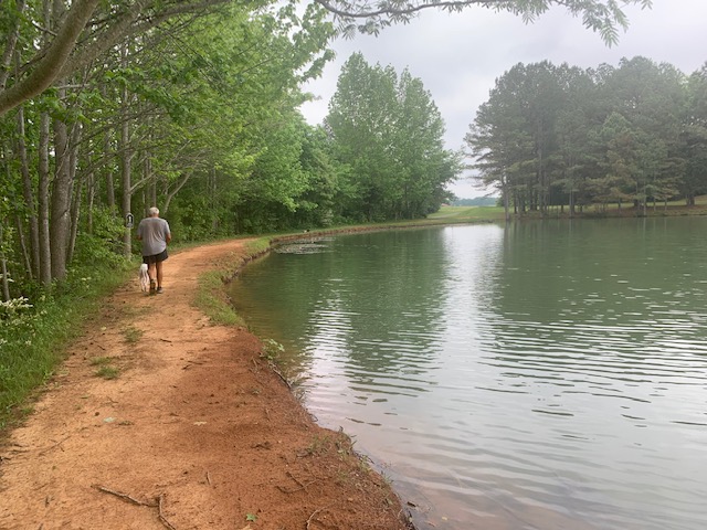
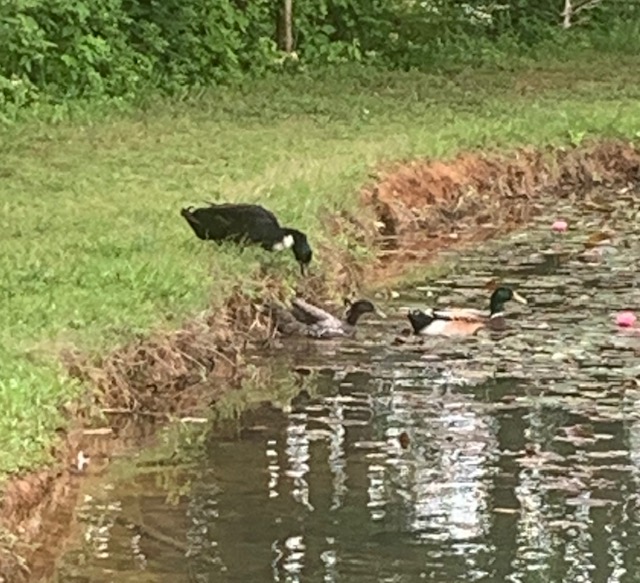
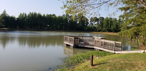
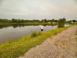
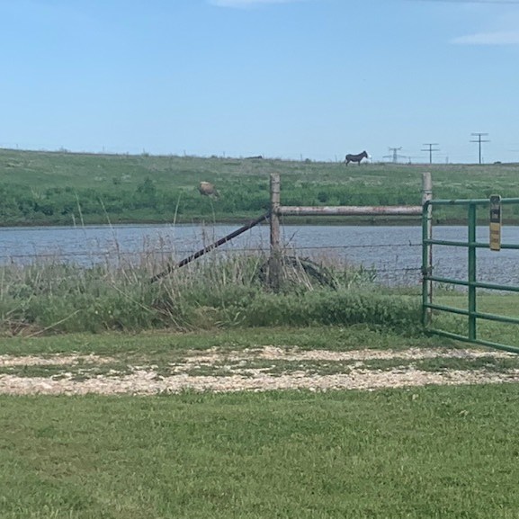
We took a few walks around the campground and pond. Gotta get out and exercise.
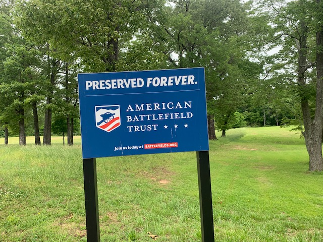
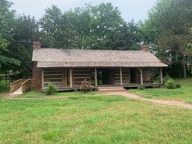
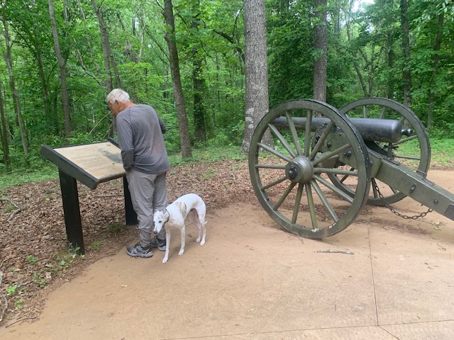
Saturday we went to the battlefield for a nice walk.
I know you know who sings this, just think about it for a bit.
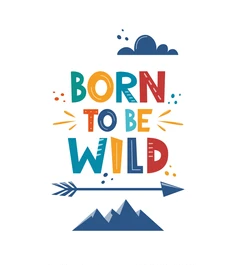
Get your motor runnin’ Head out on the highway Lookin’ for adventure And whatever comes our way Yeah Darlin’ go make it happen Take the world in a love embrace Fire all of your guns at once And explode into space
Born to be wild Born to be wild,
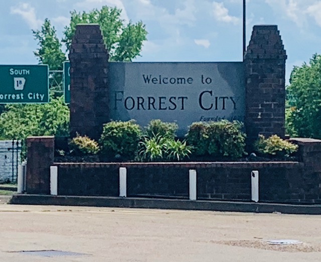
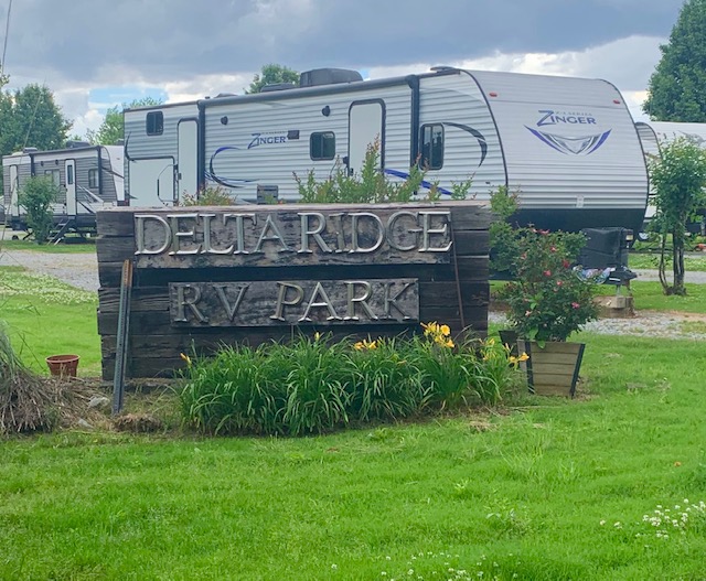
We drove 238 miles from Alma, Arkansas to Forrest City, Arkansas. We’ve been through different areas in Arkansas that we really liked and would go back to, but there really isn’t anything to see here other than hiking and such, which we can’t do right now. Actually Forrest City was named after Nathan Bedford Forrest, a famous confederate general in the Civil War. He later became a head guy of the KKK, nothing to be proud of that’s for sure.
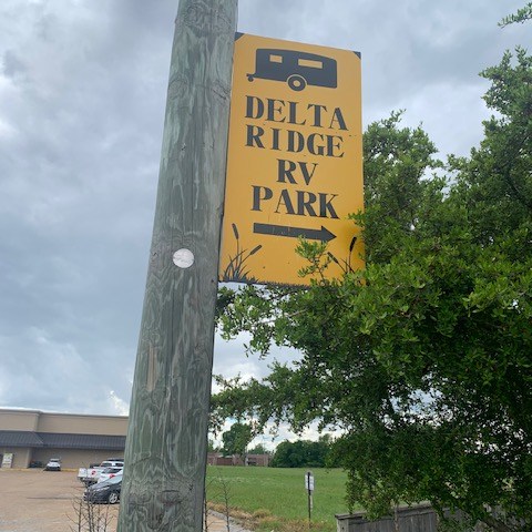
We’re staying at Delta RV Park
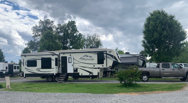
Our site for the night is #21
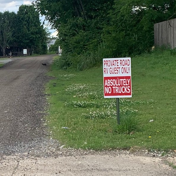
To get into the RV park was a bit different. We took Cooper for a walk and took pictures of the way in. We turned off the highway made a right and went through a parking lot of was once a big store or even a mall, kept going straight and came a sign that said No Trucks. Went further down and came to a sign that said STOP, Call For A Site and their phone #. We never saw anyone they just told us our site # and that was it. There is a lot of RVs here, the place is kept up and clean and that’s always a plus.
🎶RV sites to rent, Simple for me to own, no map, no laundry, no picnic table, ain’t got no TV cable.
To the tune of King Of The Road
Trailers for sale or rent Rooms to let, 50 cents No phone, no pool, no pets I ain’t got no cigarettes 🎶
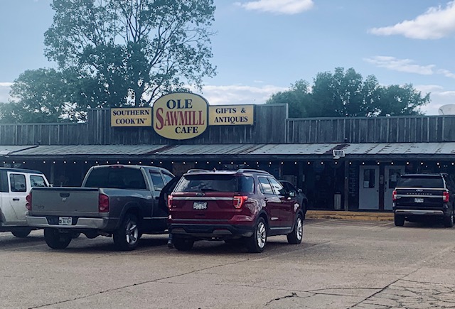
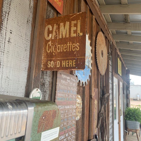
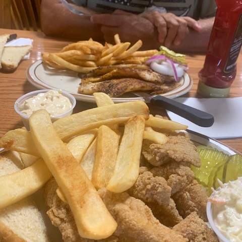
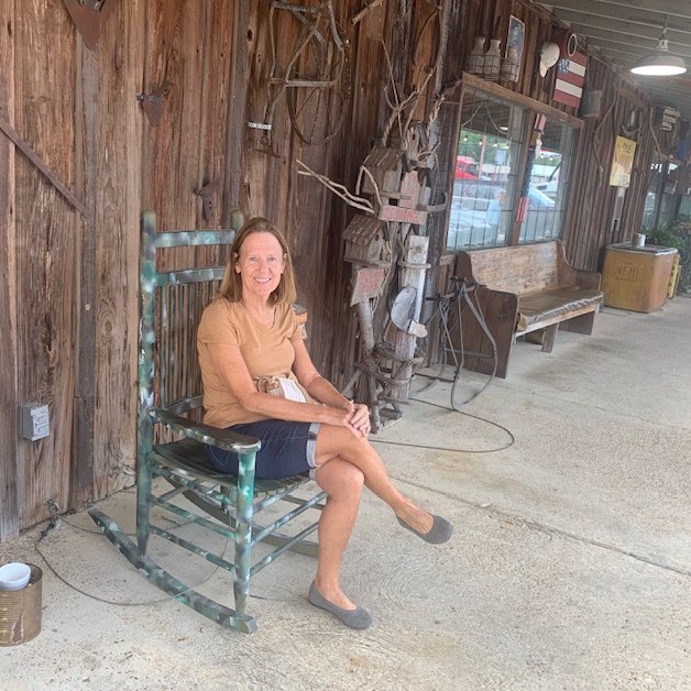
But…there was a main attraction right by us called The Ole Sawmill Cafe.
It is listed as an attraction but all kidding aside the food was Delicious. If your ever in the area you gotta come here.
🎵Well, I’m so tired of crying But I’m out on the road again I’m on the road again Well, I’m so tired of crying But I’m out on the road again I’m on the road again I ain’t got no woman Just to call my special friend 🎵
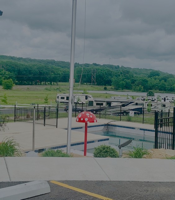
we’re in town of Alma, Arkansas at Pathfinder RV Resort.
Our site #45.
It’s a new nice RV Park with all cement sites a pond and even a cement pond. Our 5th wheel is above the mushroom.
We drove 223 miles and got here about 2:30, set up and went to get some needed supplies. When we got back I checked things of interest in the area, a lot of hiking and fishing trails and such. We didn’t want to do that, so the only thing about 4 miles away was a bronze statue of your favorite sailor Popeye! I figured if that was the only thing near by we could skip it. Tomorrow we’re headed to Forrest City, AR.
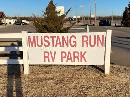
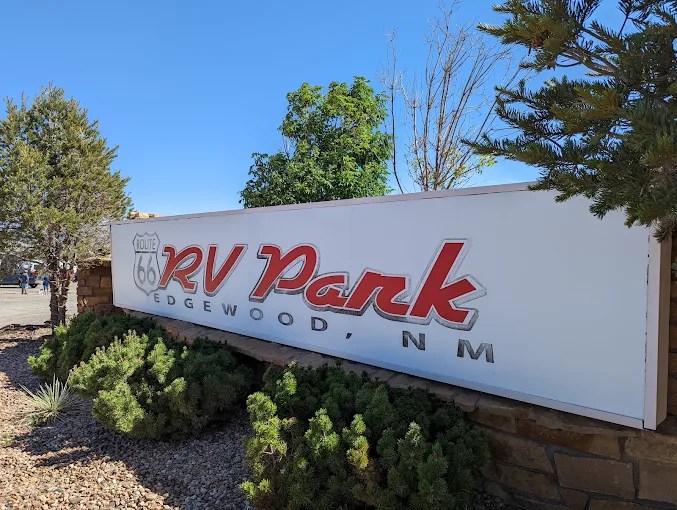
We are at Mustang Run RV Park on Mustang Run Road in Yukon, Oklahoma. We came here on May 5th and we’re leaving tomorrow May 7th.
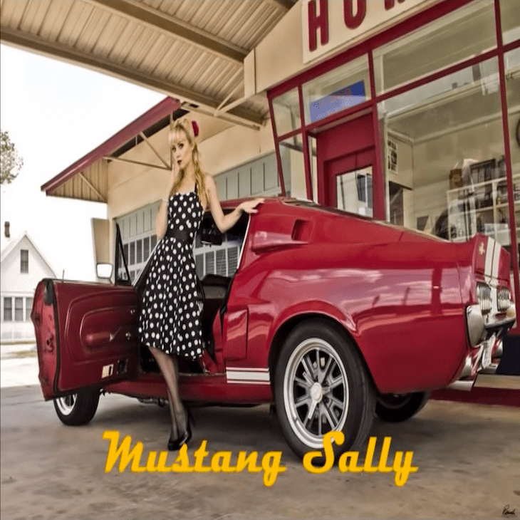
And now for the song . . . since it’s our third time staying here at Mustang Run, the song has to be
🎼Mustang Sally, huh, huh, guess you better slow your mustang down Oh Lord, what I said now? Mustang Sally, now baby, oh Lord, guess you better slow your mustang down Huh oh yeaah You been running all over the town now Oh! I guess I’ll have to put your flat feet on the ground Huh, what I said now? Listen All you want to do is ride around Sally, ride, Sally, ride All you want to do is ride around Sally, ride, Sally, ride All you want to do is ride around Sally, ride, Sally, ride. Huh All you want to do is ride around Sally, ride, Sally, ride 🎵
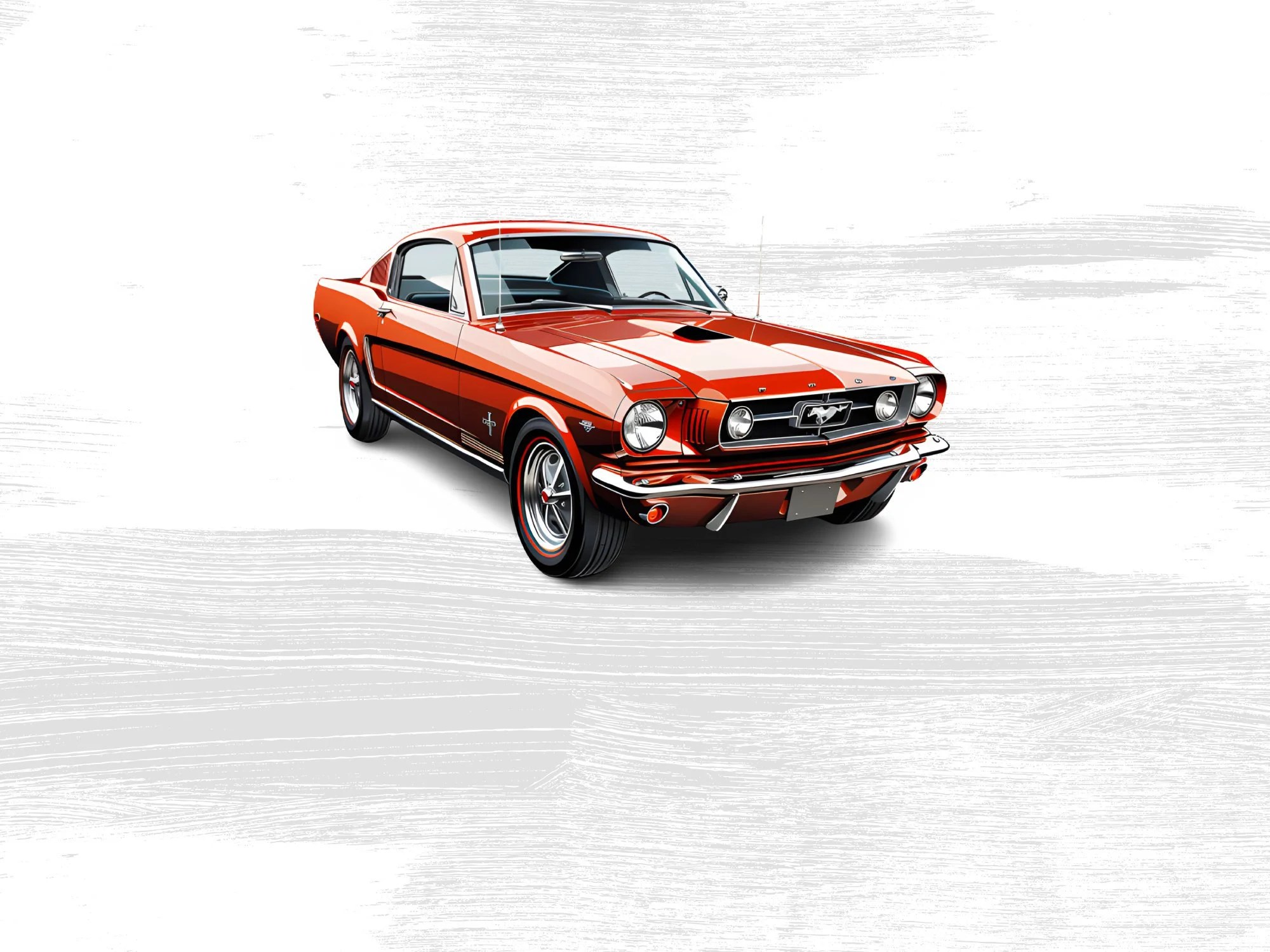
I don’t know if Wilson Pickett sang it first but it’s my favorite version. I definitely like this song and it’s fun to dance to. If somebody bought me a 65 Mustang I would be be riding it all over town too!
Our site #45.
We didn’t go and check anything out, we relaxed on the 5th and on the 6th went grocery shopping and they have one of Dave’s favorite places to eat here so we went to Canes.
We want to say a special “Hello” to Bill and Sandy, a great couple we met on our first trip to Florida at Cypress Trails. That seems so so long ago. So glad we met, your both are so courageous and kind-hearted folks.
♪ It’s a highway song You sing it on and on On and on . . . .
Do you know who sang this? It’s a bit tough, it’s Black. . . .
He’s rode a horse so long he straddles chairs instead of sitting in them.
Everything is bigger in Texas, so they say.
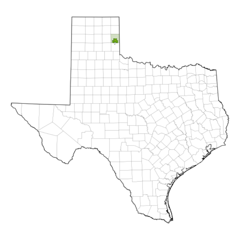
On May 4th – 5th we traveled to Shamrock, TX. Dave drove 209 miles with the wind blowing steady against the right front of the RV. But we haven’t hit rain yet so that’s a plus.
Our site #6
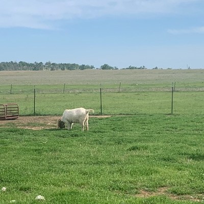
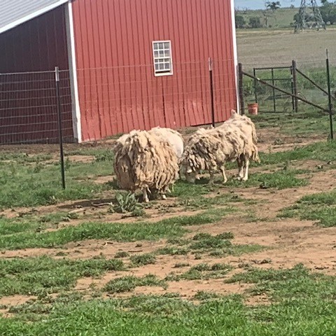
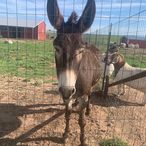
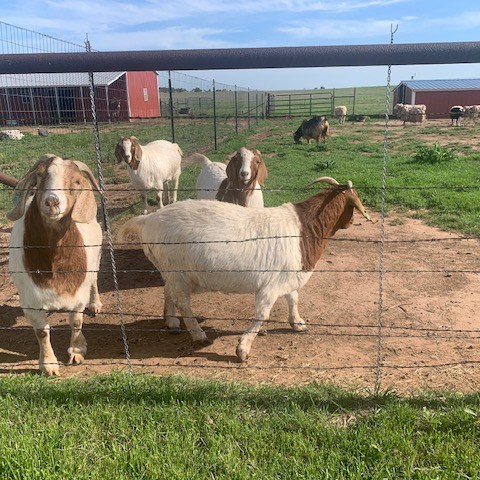
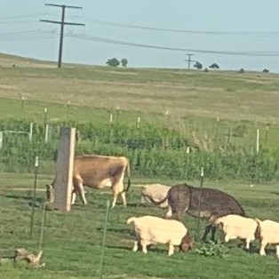
We have a lot of nice neighbors around us.
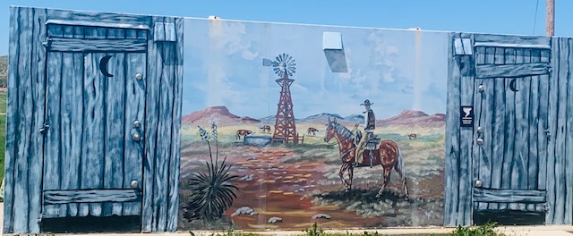
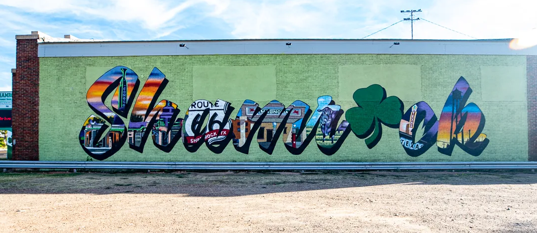
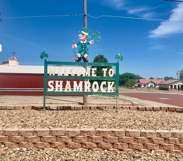
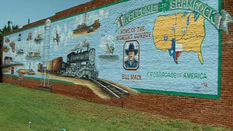
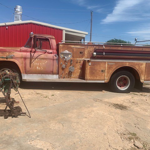
We drove into the City of Shamrock to check it out.
Shamrock, TX. is on Interstate Highway 40 (here formerly U.S. Highway 66) in south central Wheeler County, was in the 1980s the largest town in the county. The name Shamrock was first suggested, for good luck and courage, by Irish immigrant sheep rancher George Nickel, when he applied in 1890 to open a post office. But it wasn’t until the railroad named the stop Shamrock in 1903, and the post office was finally named Shamrock, and in 1911 the name Shamrock finally stuck.
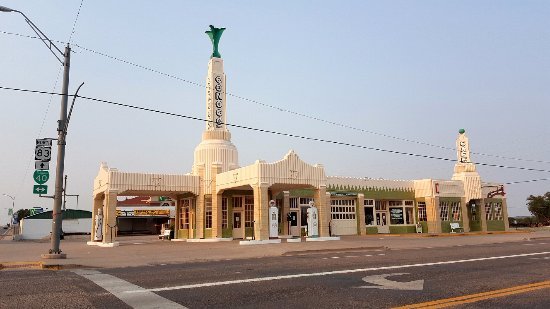
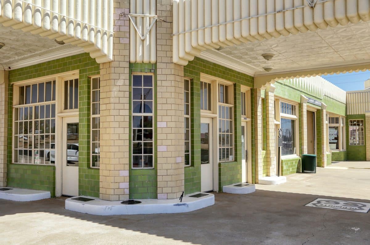
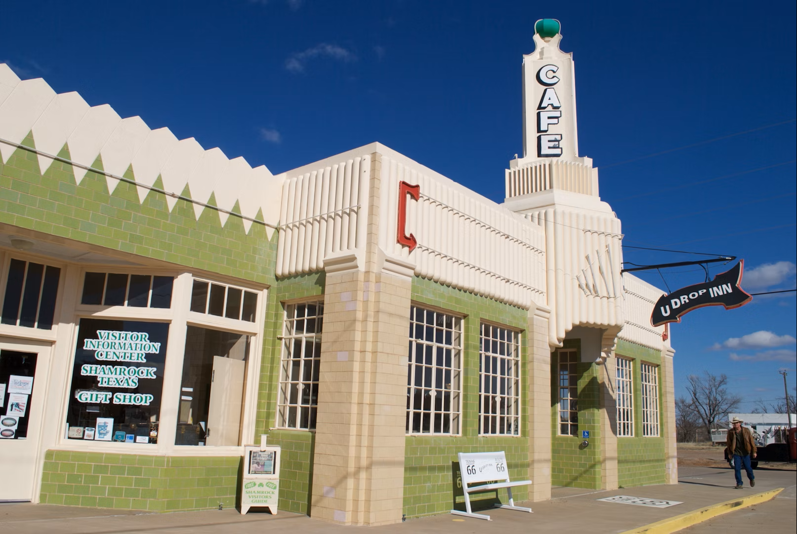
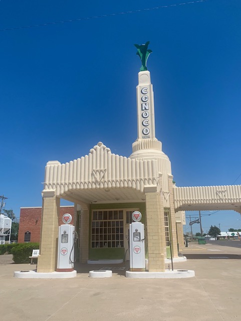
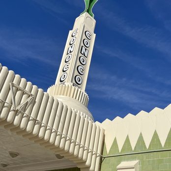
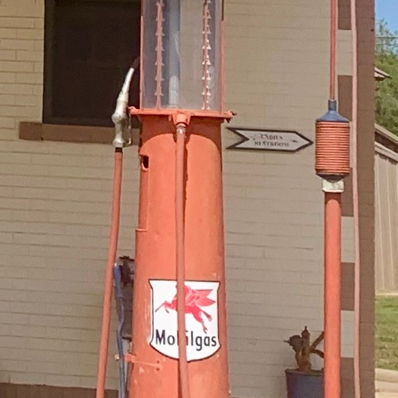
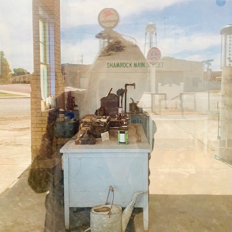
Tower Station and U-Drop Inn Cafe on Route 66 in Shamrock
If you look close you can see that there are old gas tanks on the left side of the building as well as in front.
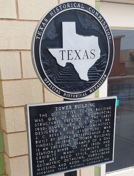
The historic Tower Station and U-Drop Inn Café was built in 1936 to serve travelers along Route 66. The location of U.S. Highway 66 made the main avenue of Shamrock boom with garages, filling stations, restaurants, and tourist courts. The Conoco station provided fuel for those early travelers, while the adjacent cafe provided food and drink. The third area was envisioned as a retail store, but became an overflow seating area for the cafe. Restored in 2004, today the iconic art deco building of green glazed tile and brick serves as a Visitor Information Center and also houses the Chamber of Commerce and in 2021 they began offering restaurant service in the building for the first time in decades. The center has an expanded gift shop and offers free coffee & tea along with free internet and encourages everyone to “sit a spell” and enjoy the ambiance of this historic icon along the “Mother Road”.
The cafe has limited hours so we didn’t get to go in. We heard and from reading reviews this is a must and the food at the cafe is said to be delicious Plus it is known for having the original booth where Elvis Presley once sat. Definitely a neat unique building.
Elvis has left the building
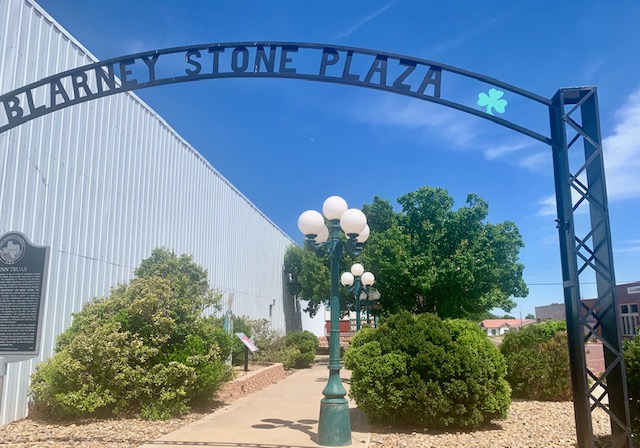
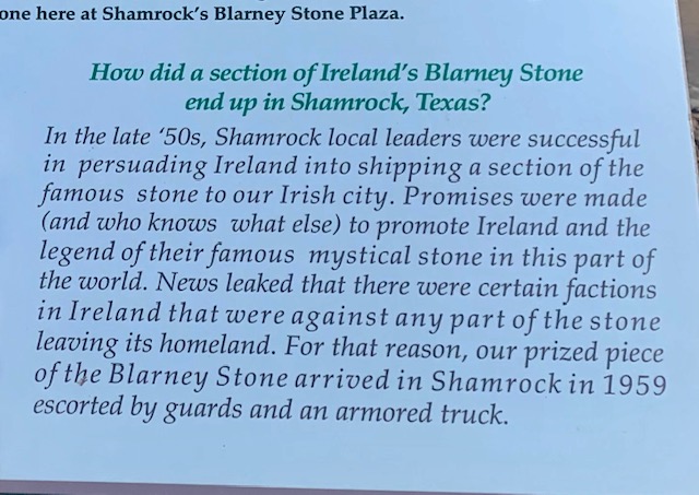
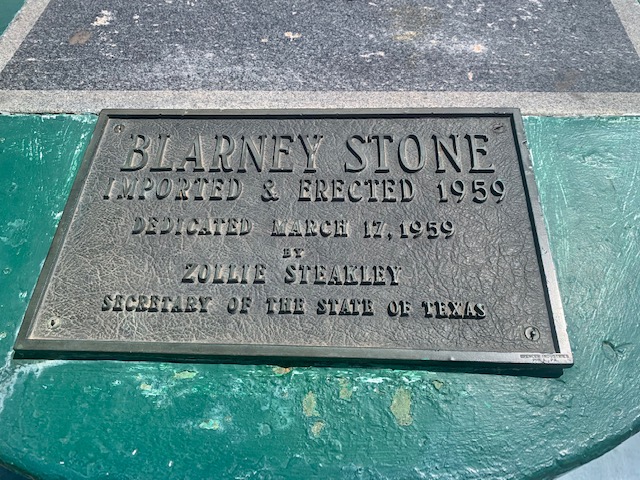
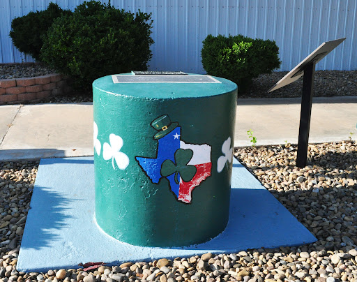
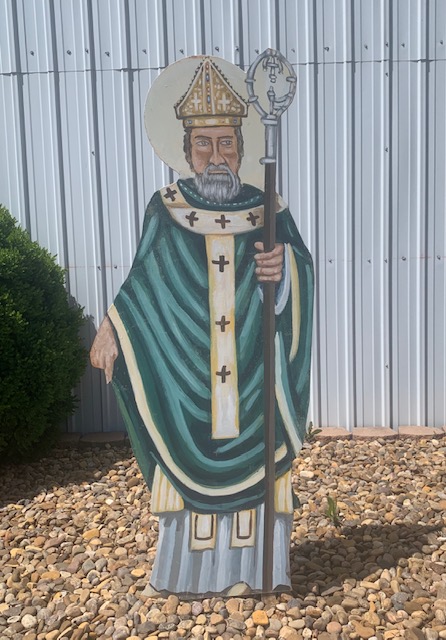
Also in Shamrock is part of the Blarney Stone in Ireland, so legend has it. Being I’m a bit Irish we went to check it out.
A fragment of the original Blarney Stone is immured within a concrete monument at Blarney Stone Plaza on Main St. This genuine chunk from the ruins of Blarney Castle was accidentally knocked off of the original Stone — at least according to the Shamrock official who brought it here in 1959. The chunk’s arrival was so important that Shamrock’s mayor called out the Texas Highway Patrol and the Texas National Guard, who reportedly stationed a sub-machine gunner atop the drug store as the Stone was wheeled into town.
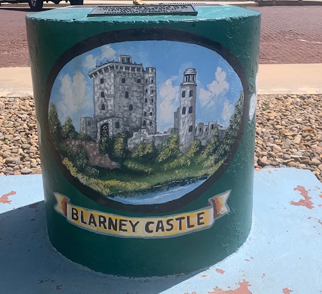
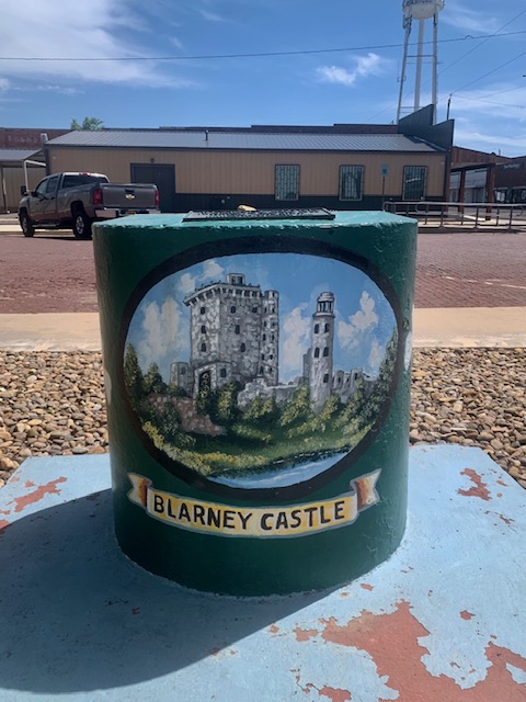
Also in the Blarney Stone Plaza
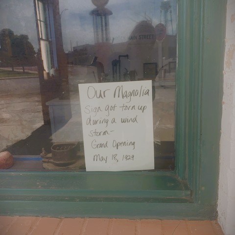
Down the street from the plaza, we came upon this old gas station that looked like someone from the 1960s just left the building and left the note at the bottom right circle.
Our one night stay at Shamrock was fun, I didn’t get a chance to finish the blog last night, to busy talking with our nice neighbors. We are now in Yukon, Oklahoma for a 2 night stay.
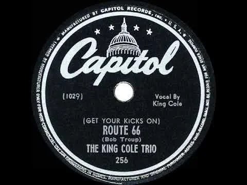
♪ If you ever plan to motor west Travel my way, take the highway that’s the best Get your kicks on Route 66 ♪
The original song was by Nat King Cole, that’s the version I grew up listening to. Others who sang the song were Glen Fry and The Rolling Stones.
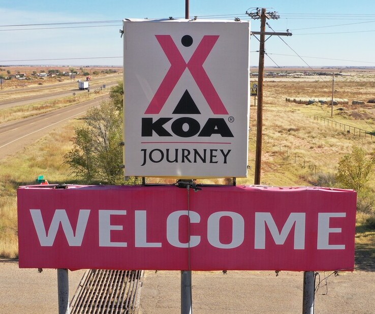
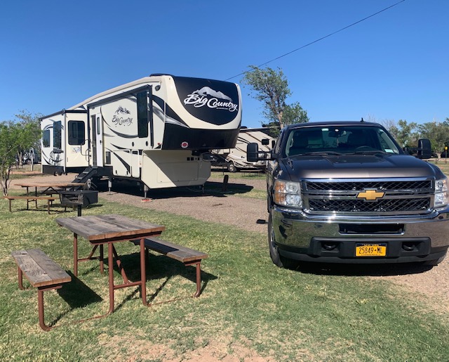
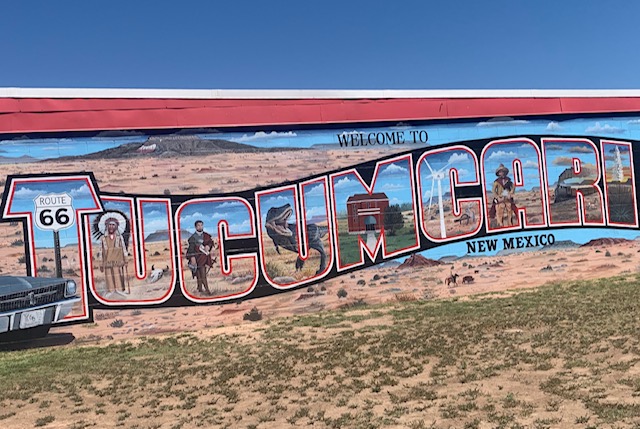
We were traveling today from Albuquerque NM to Tucumcari NM, a total of 151 miles.
Our site # 40 at the Tucumcari KOA.
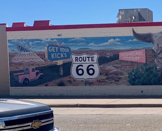
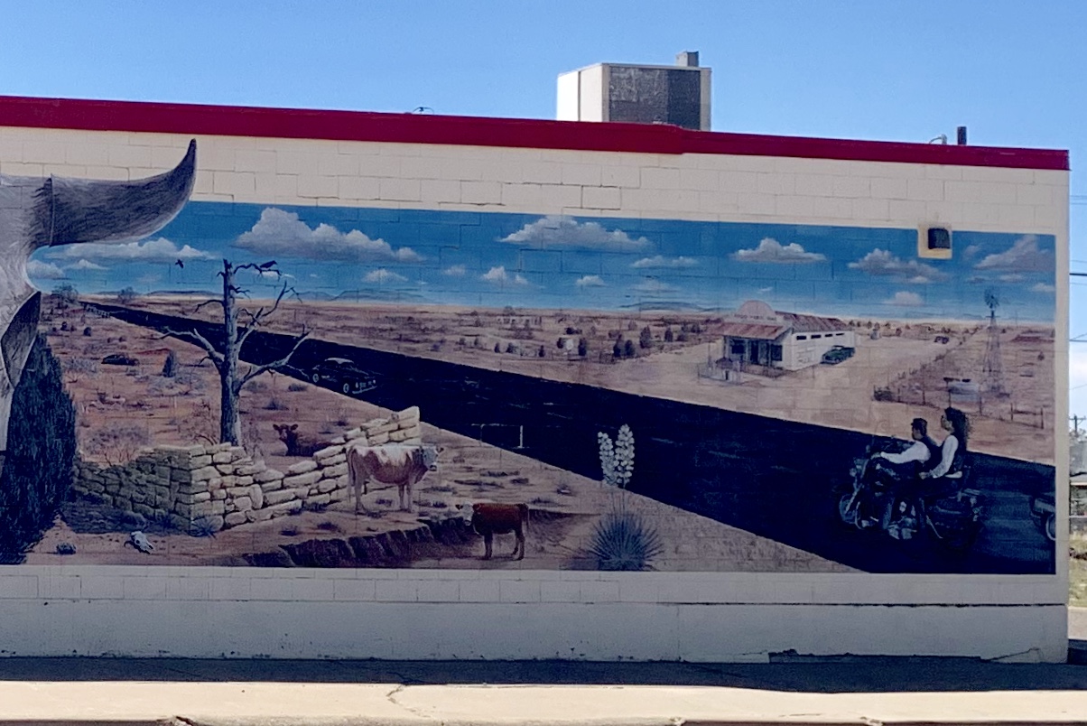
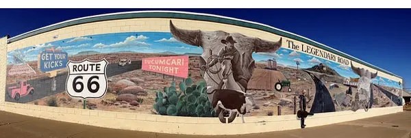
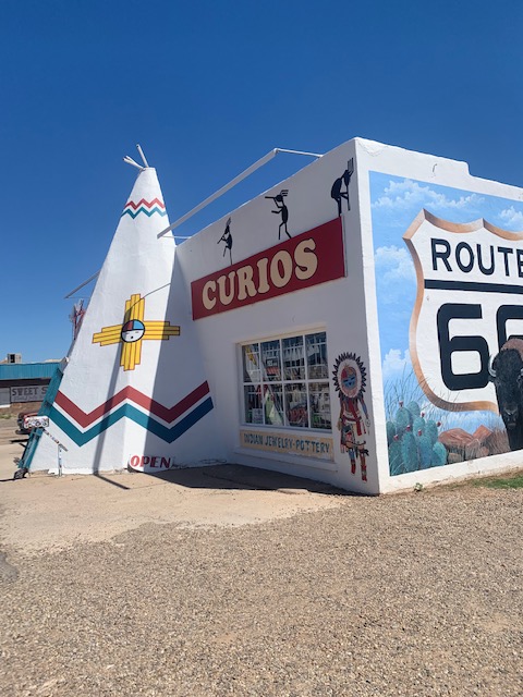
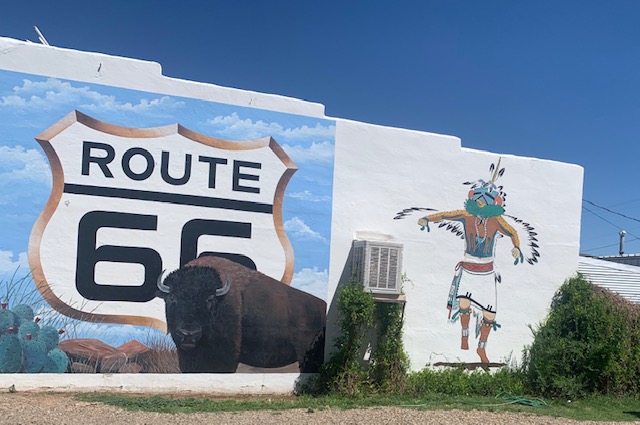
We got set up and checked out a small section of Route 66.
We checked out a couple of the murals.
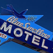
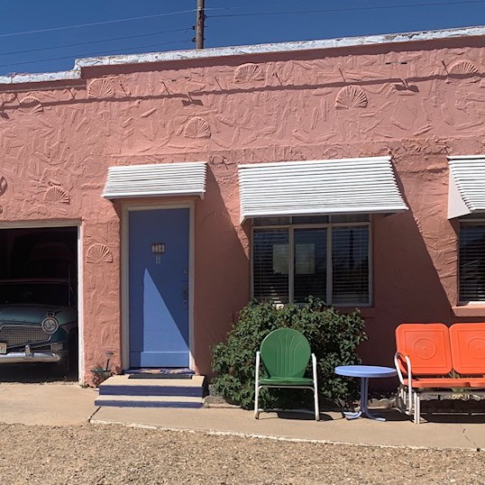
We saw this neat looking motel from the road and had to check it out.
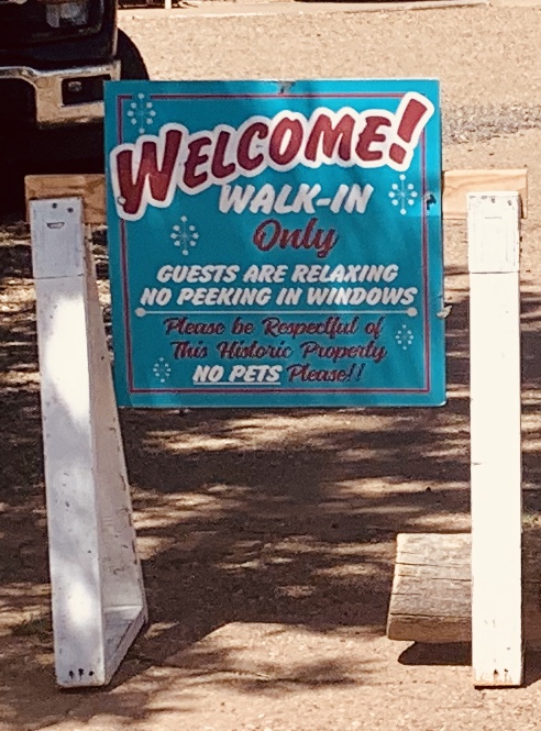
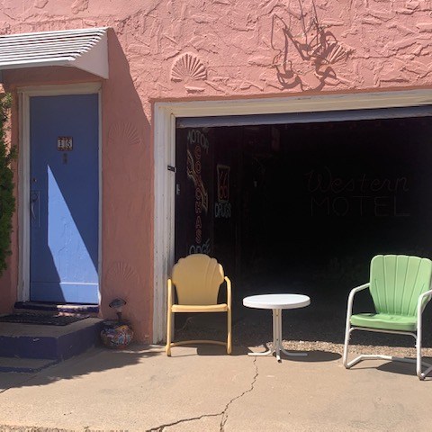
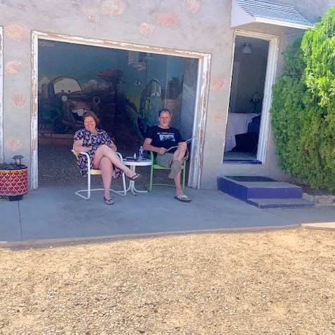
What we found out about the motel was really impressive. The Blue Swallow Court Motel is a 12-unit L-shaped motel that is listed on the National Register of Historic Places in New Mexico and part of the U.S. Historic Route 66. I talked with the couple in the picture and they said they were really enjoying their stay. They said it is awesome inside with authentic items from the 1960s, as well as very clean.
Original architectural features included a façade with pink stucco walls decorated with shell designs and a stepped parapet, on-site office and manager’s residence, and garages located between the sleeping units for travelers to park their motorcars. It is one of the longest continuously operated motels along New Mexico’s slice of Route 66. The Swallow from the sign can be seen in the movie Back to the Future Part II, and inspired the creators of Pixar’s movie Cars to create the “Cozy Cone Motel “
One of the best neon displays on Route 66! Come spend a memorable night and experience the home-style hospitality of a bygone era at the Blue Swallow Motel!
It was a fun afternoon and we decided to come back thru when we head back west. We have to check out the rest of the 44+ murals and other places on Route 66.
We’re on our way to Shamrock, TX tomorrow morning.
No stop signs, Speed limit, Nobody’s gonna slow me down, Like a wheel Gonna spin it.
Everyone should know who sings this song.
Dave drove 183 miles today against the wind, not fun. But we made it to Albuquerque, NM.
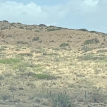
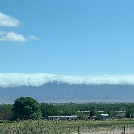
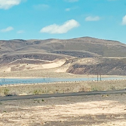
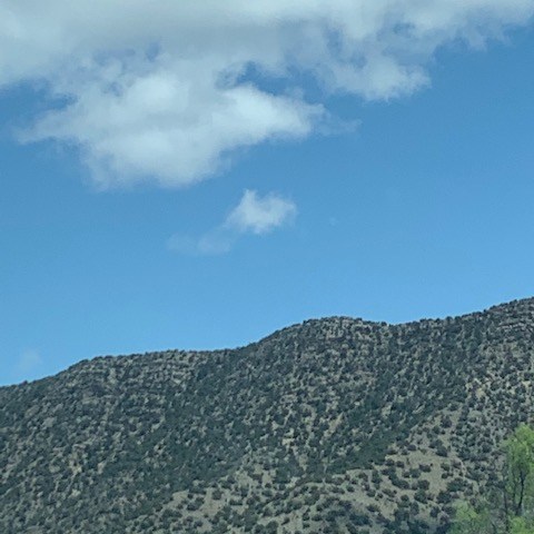
Traveling on I-25 North we got t see scenic sites on the way.
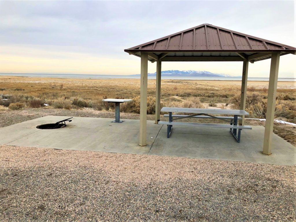
New Mexico always has covered picnic areas in their state parks and rest stops. I took a picture of this one when we stopped because they are connected.
Our Site #54
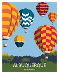
Albuquerque is known as the ” Hot Air Ballooning Capital of the World.” The annual city hosts the Albuquerque International Balloon Fiesta, a major event that attracts visitors and enthusiasts from all over the world. If we come back this way I would love to take a balloon ride, my brother-in-law and sister-in-both did it and thought it was an awesome experience.
♪ I wanna ride it all night long, If you’re goin’ my way Well, I wanna drive it all night long ♪
OK who remembers this song ?
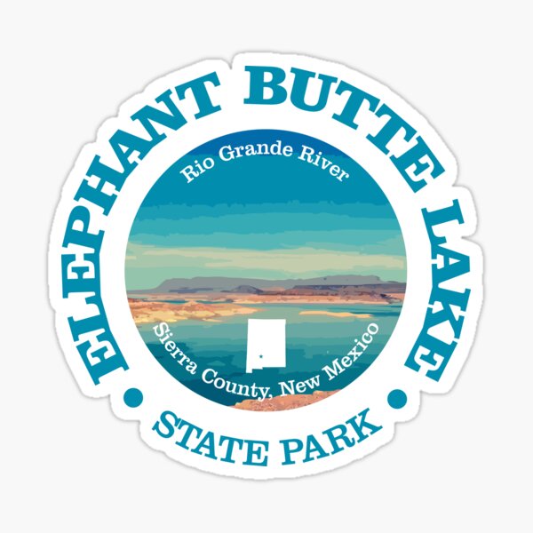
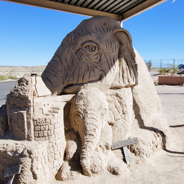
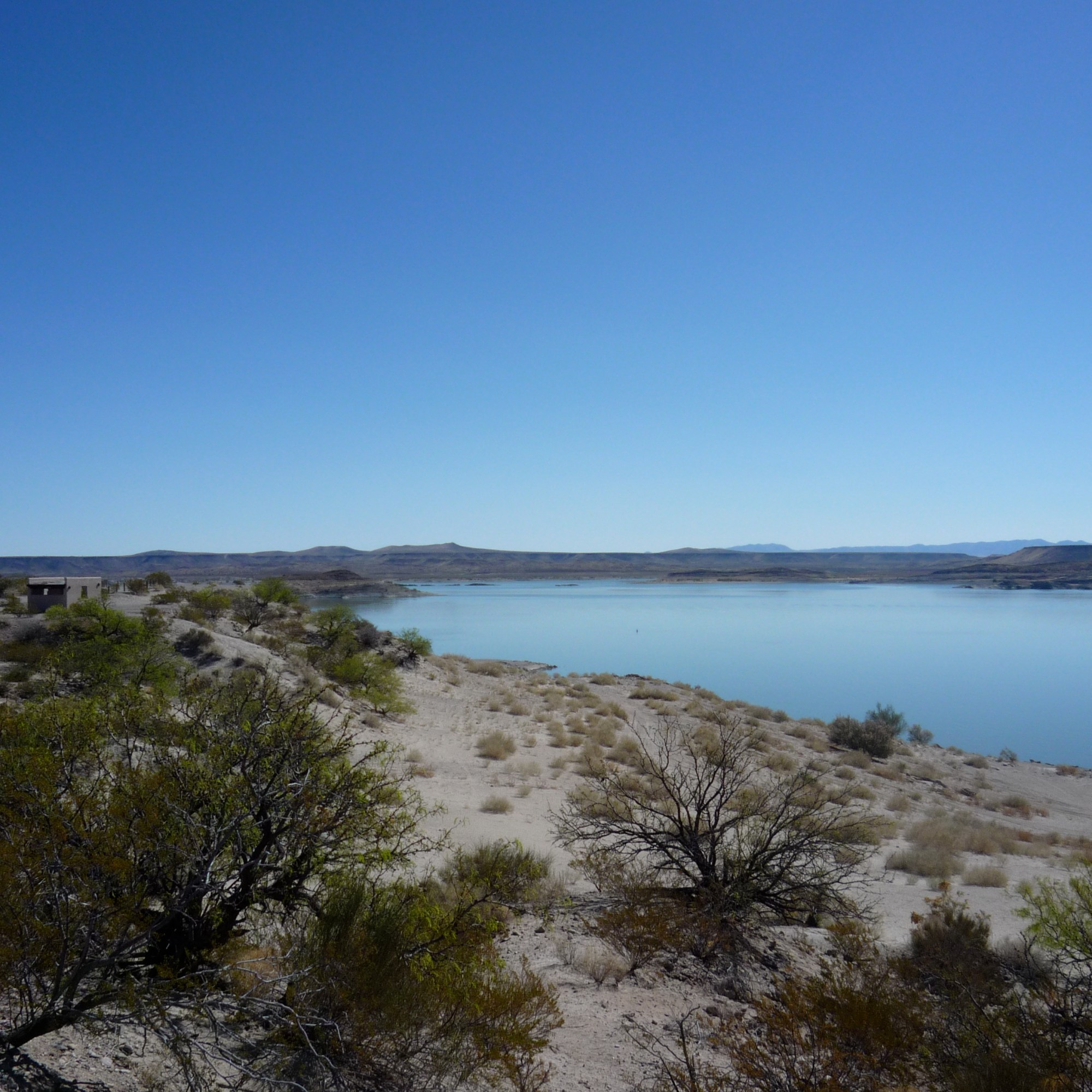
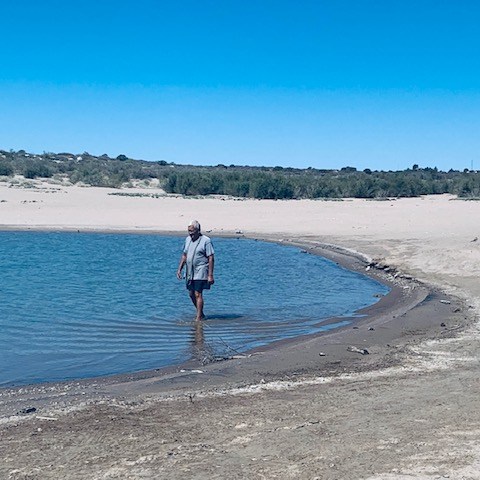
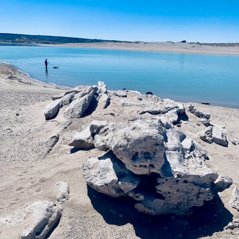
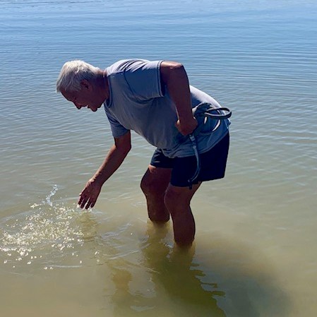
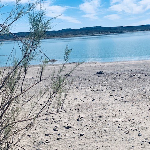
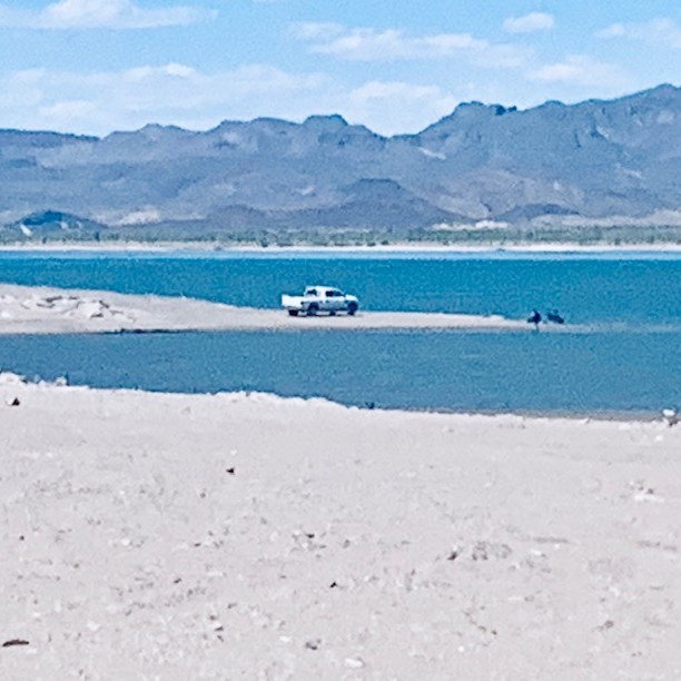
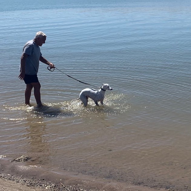
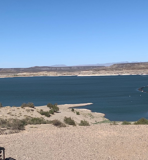
It’s called Elephant Butte, both the butte (a hill with a steep slope) and the surrounding area, is named for a volcanic core that when viewed from the right angle that when viewed from the right angle resembles the shape of an elephant lying down. I can kinda see the elephant. 🦏
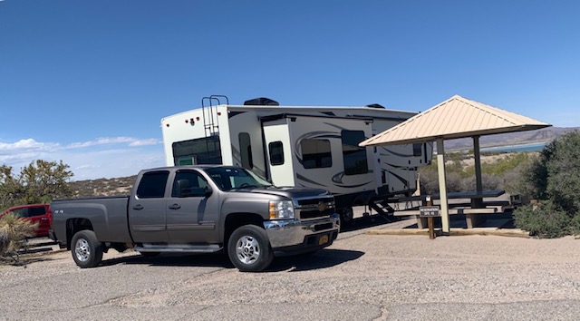
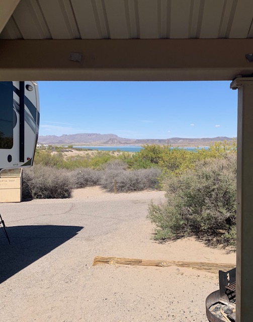
It’s also New Mexico’s Largest State Park and it is truly a beautiful park. We stayed here in 2022 going West and now we are here heading back East.
We arrived here on April 30th and are leaving May 2nd.
We’re at site 41 in Quail Run Circle.
A fun day frolicing at the beach.
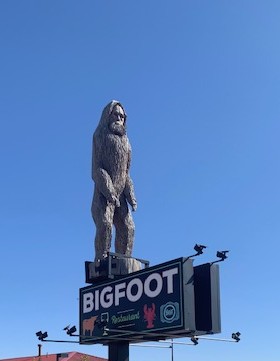
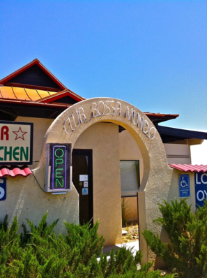
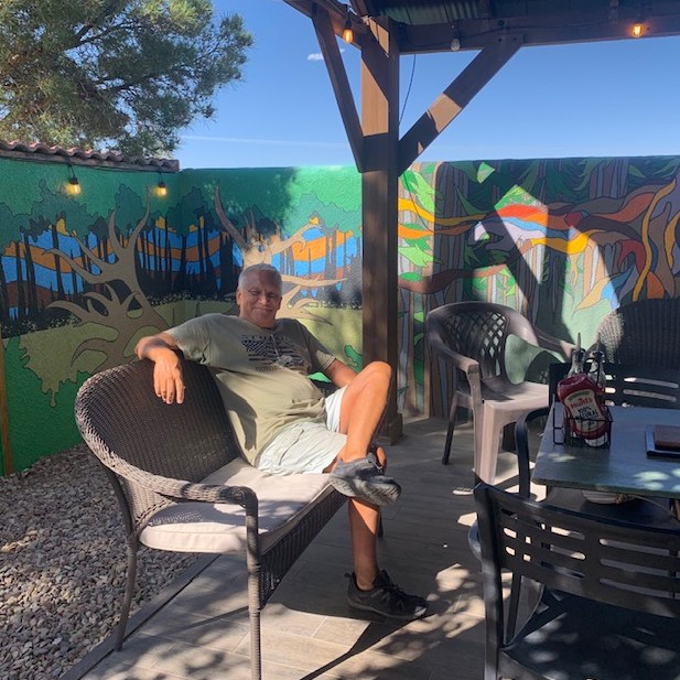
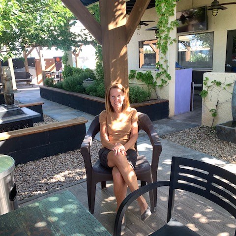
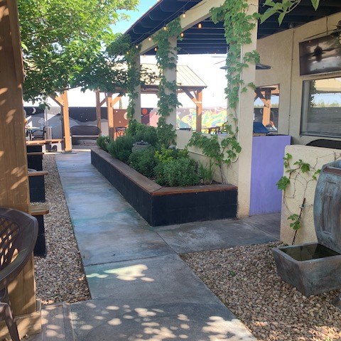
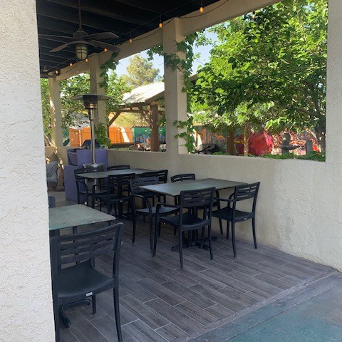
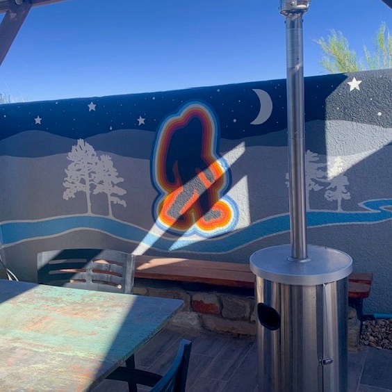
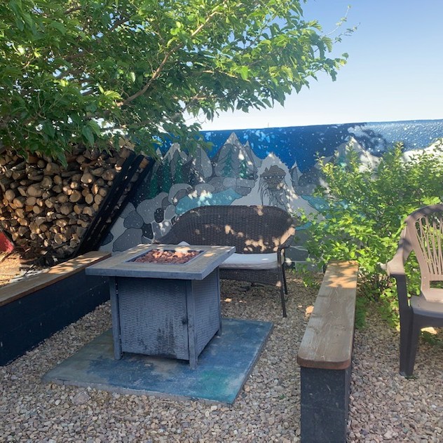
We had dinner at the Big Foot Restaurant in town.
We sat in the patio outside, had a delicious dinner with a wonderful atmosphere!
Pictures that were taken driving back to our site.
If we ever get back to this area we’ll stop again to Elephant Butte State Park and eat at The Big Foot Restaurant. Tomorrow morning we’ll be on our way to Albuquerque.
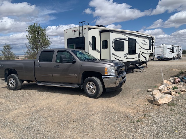
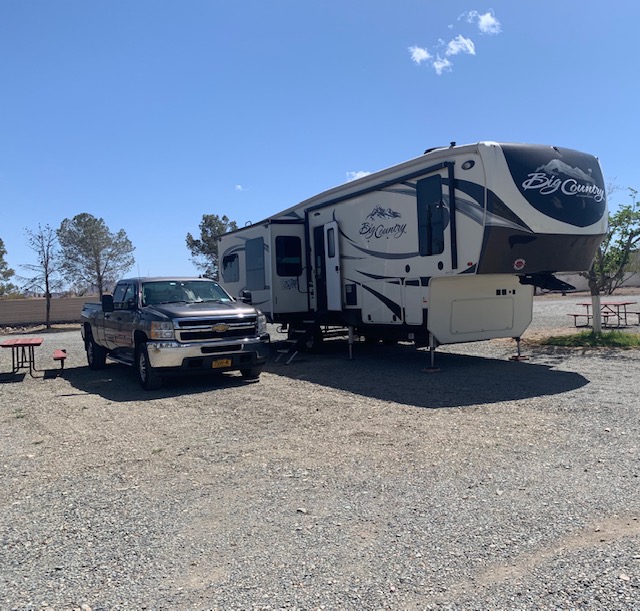
We were rockin down Highway 10 to Lordsburg, New Mexico. Our first travel day in 9 months! We rode 147 miles takin it easy on our first day of travel.
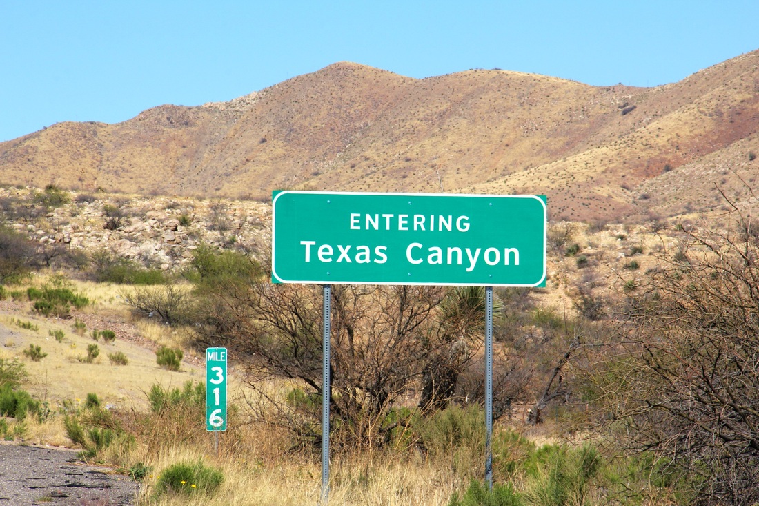
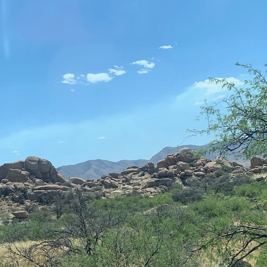
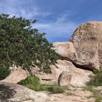
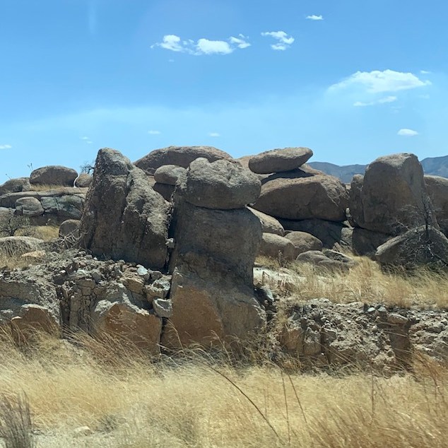
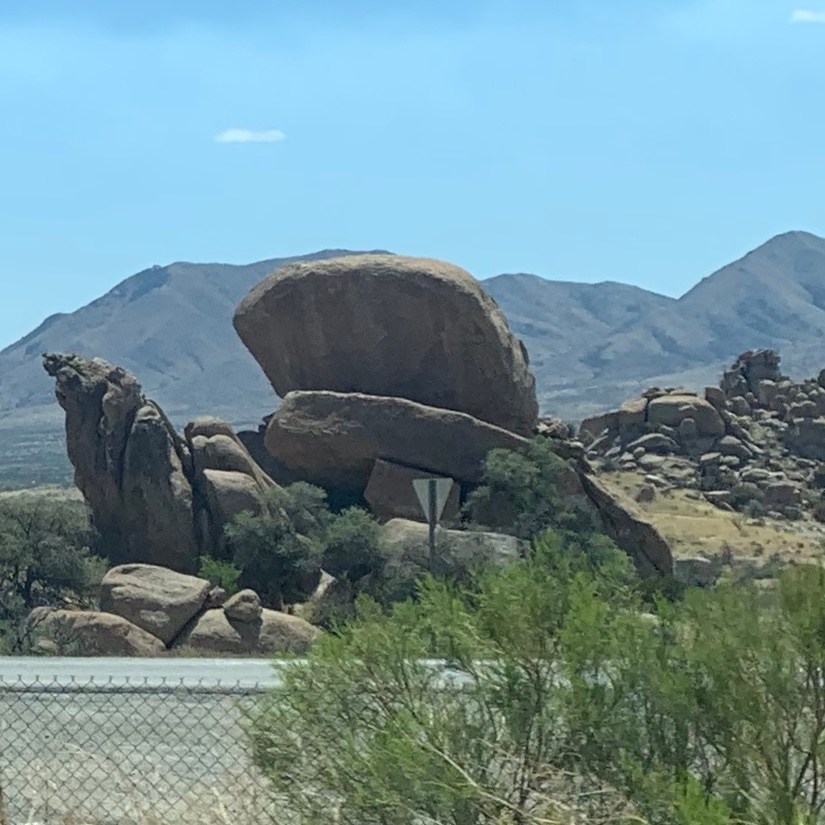
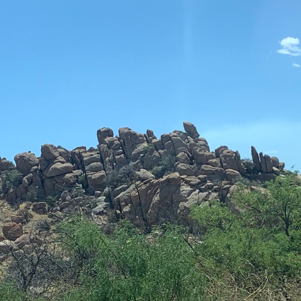
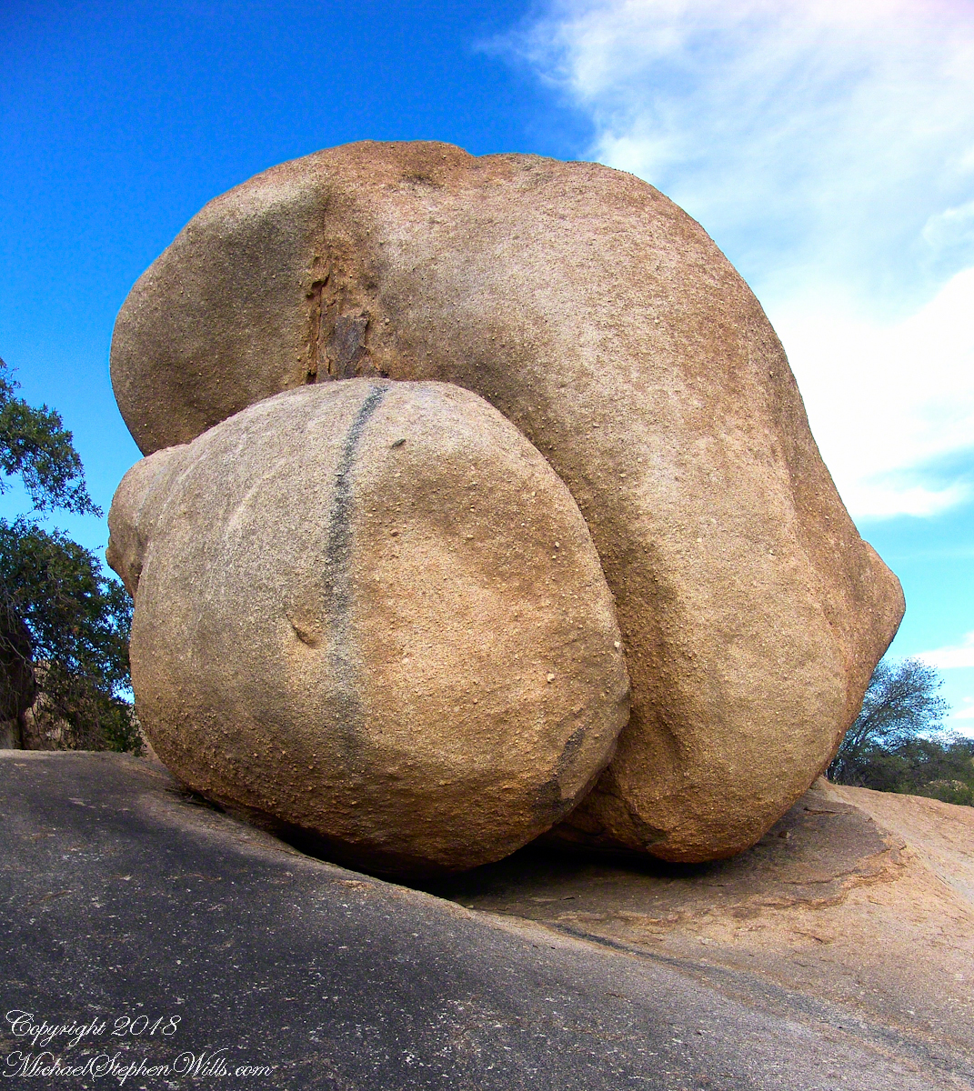
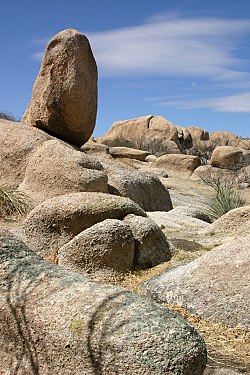
Traveling from Tucson to Lordsburg on route 10, halfway between Tucson and the New Mexican border, we passed through “The Texas Canyon.”
As we’re driving by I thought these rocks are so cool I need to take pictures, I’m glad I did. The rocks are what makes this canyon so unique. The rock formations are made up primarily of granite and metamorphic rock. The area has a long and complex geologic history, with rocks that range in age from approximately 1.4 billion years old to just a few million years old.
One of the most striking features of Texas Canyon is the dramatic cliffs and towering spires that rise up from the desert floor and boulders that balance on top of each other.
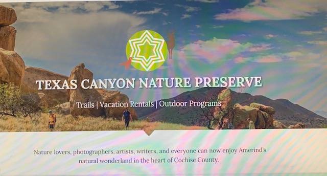
The Texas Canyon is a Nature Preserve with a museum and lots of great trails that take you up close and personal to the rocks.
Checked the website and saw these rocks. I know I want to go here when we’re headed back this way. You never know what your gonna see.
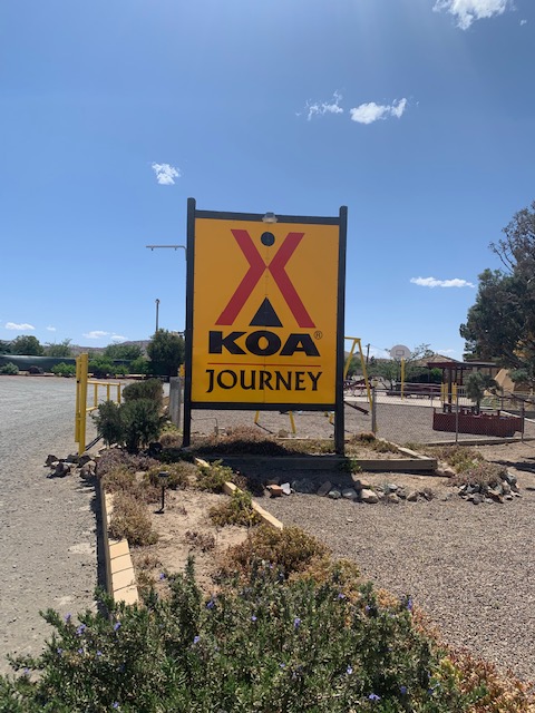
We arrived safe and sound at the KOA site #8 in Lordsburg, NM. Have a goodnight everyone.