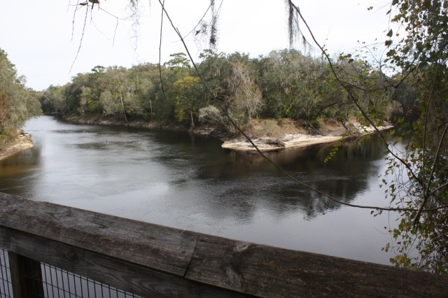
Yesterday we took a few hikes in the park. Where the Suwannee River and the Withlacoochee river meet is a pretty historic site. It was were a major path, stagecoach road went through in the early and late 1800’s. You crossed the river on a ferry, from one side to the other and then were on your way. After a while a little town sprang up, with a few shops. The ferry cut is still visible as the picture shows. The road was the only one in the day you could get down to the panhandle coast.
THE RIVERS MEET
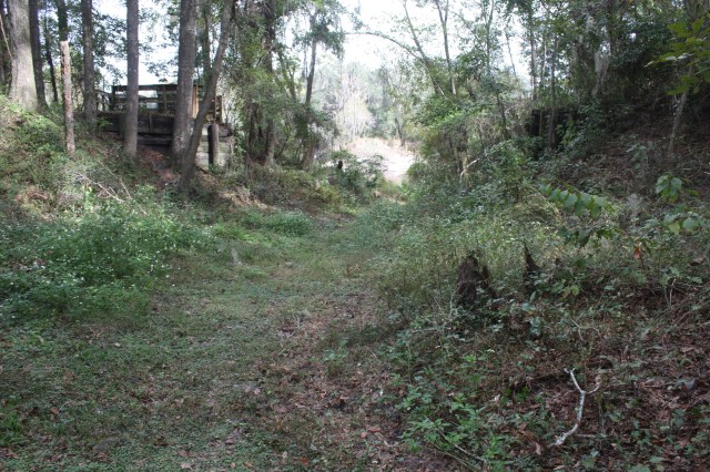
THE CUT TO THE RIVER FERRY.
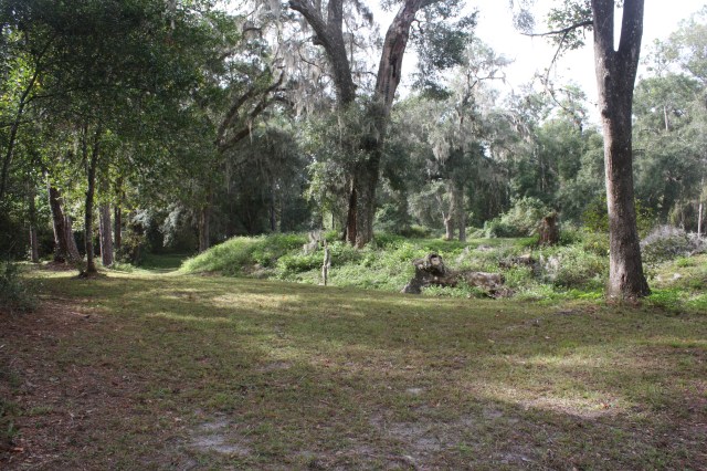
During the civil war this was a major road to get to the deep south. So the confederates in 1864 built a set of earthwork fortifications near the crossing.
During that time there would not have been any trees around at all. Since they controlled the ferry, the Yankees were a little stymied in getting across. Since the confederates only numbered in the couple of hundred, they stood little chance of holding the area, and they were eventually driven out of the earthworks. It then became a Yankee supply depot area. The earthworks here today are some of the best preserved in the nation, it was pretty neat to see this up close.

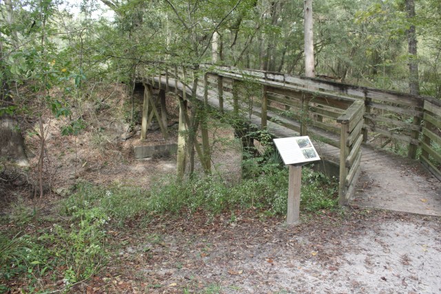
THE WALKWAY IS MODERN AND ONLY AN OBSERVATION PLATFORM TO SEE THE FORT BELOW.
THE OUTER PERIMITER OF THE FORT
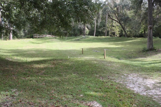
A FURTHER AWAY VIEW.
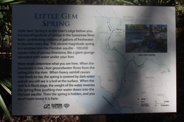
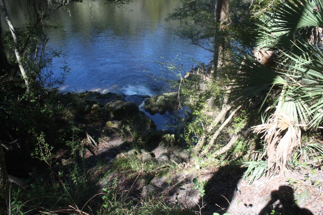
After that we went on the Lime Sink run trail. Lime sink is an area where a large spring is and when it gets full it overflows into the run and out to the river. While we were walking it ,it was like being in prehistoric times. The foliage and the lime stone is cut away in all kinds of interesting shapes. Apparently this enters into a very large cave system which runs for hundreds of miles, who knew.
THE TRAIL STARTS HERE.

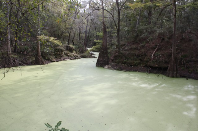
A LITTLE SPOOKY
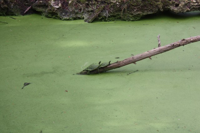
TWO TURTLES WE SAW.
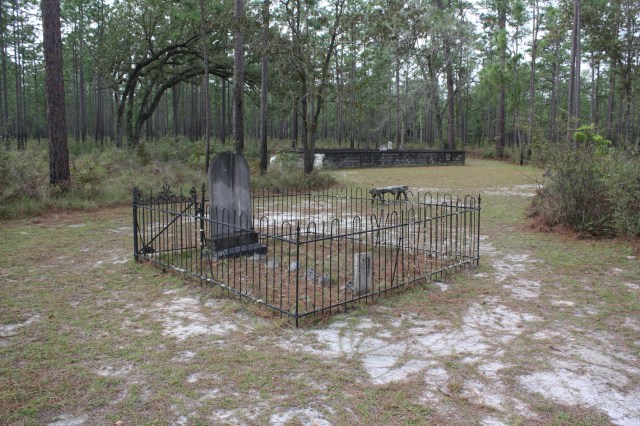
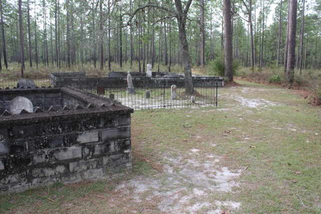
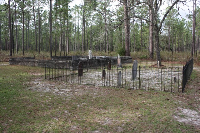
We then hiked the Sandhill trail. It is on a little flat elevation area, and is apparently where the little town was. The couple of buildings that were there we right next to the stagecoach road, which makes sense. The town was abandoned right after 1900 and there is no sign of it now except for the Columbus Cemetery. The only thing left of the small town is a resting place of some of its inhabitants. The cemetery is unique as the pictures show.
In all it was about 5 miles of hiking.