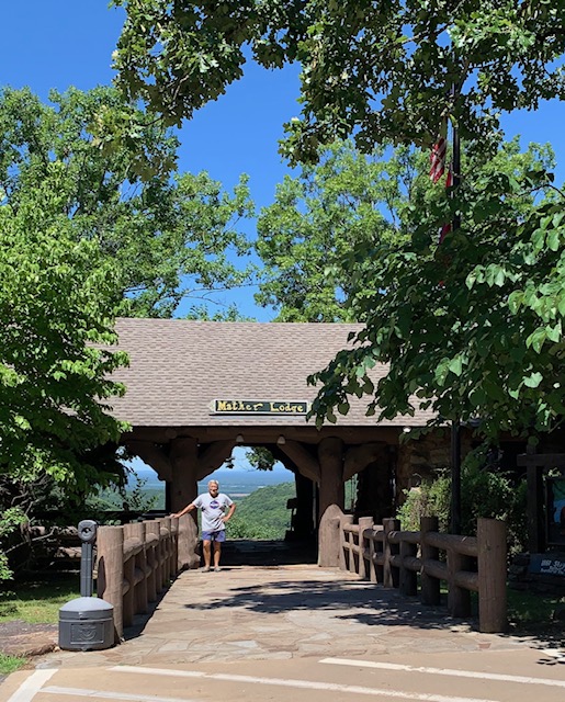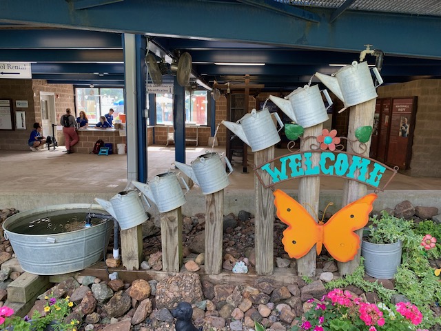
We planned to Visit Frank Lloyd Wright Bachman-Wilson House in Bentonville but to our surprise it was located inside what is know as the Crystal Bridges Museum of American Art. It’s an incredible place!


The museum has a renowned collection ranging from Rockwell to Warhol in a museum-structure set on 120 acres.
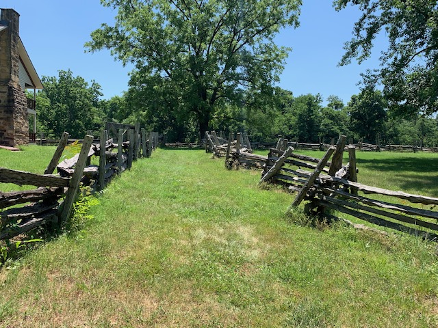
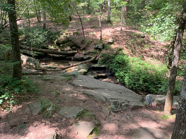
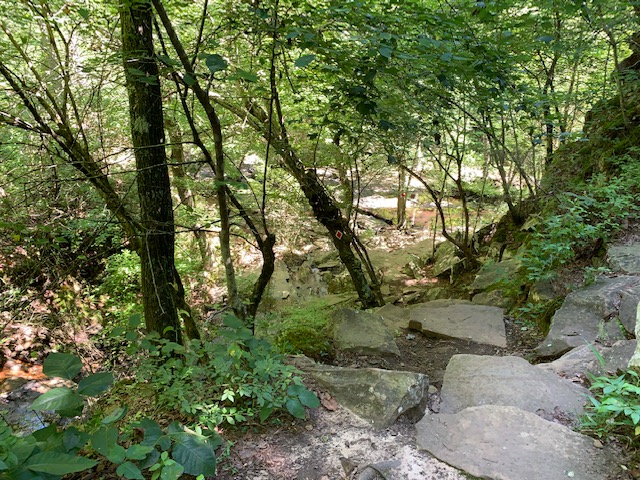
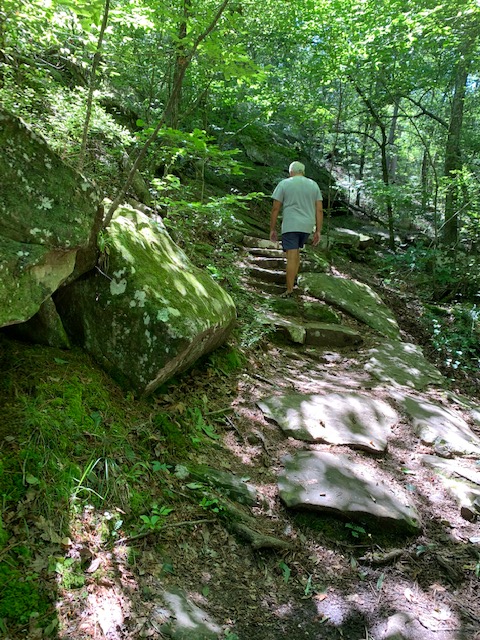
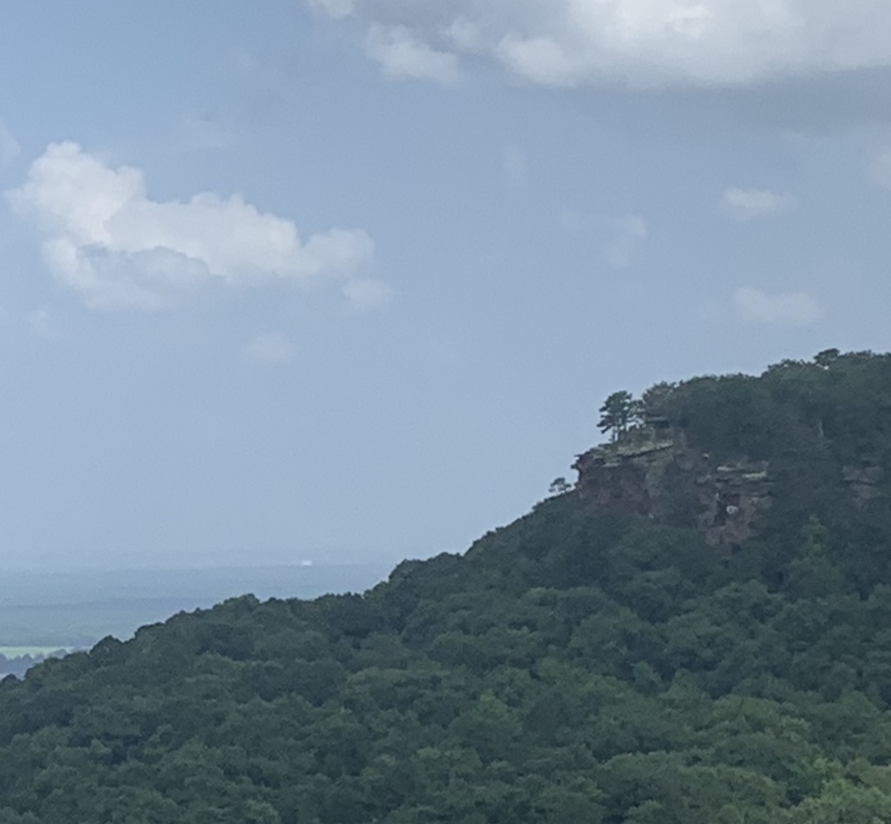
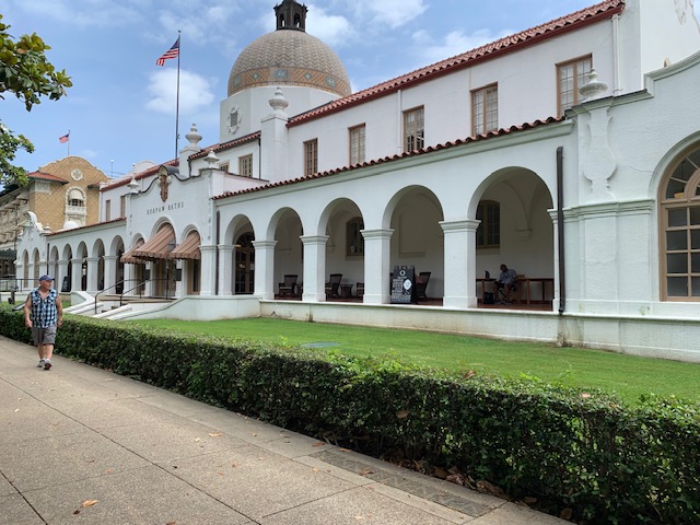
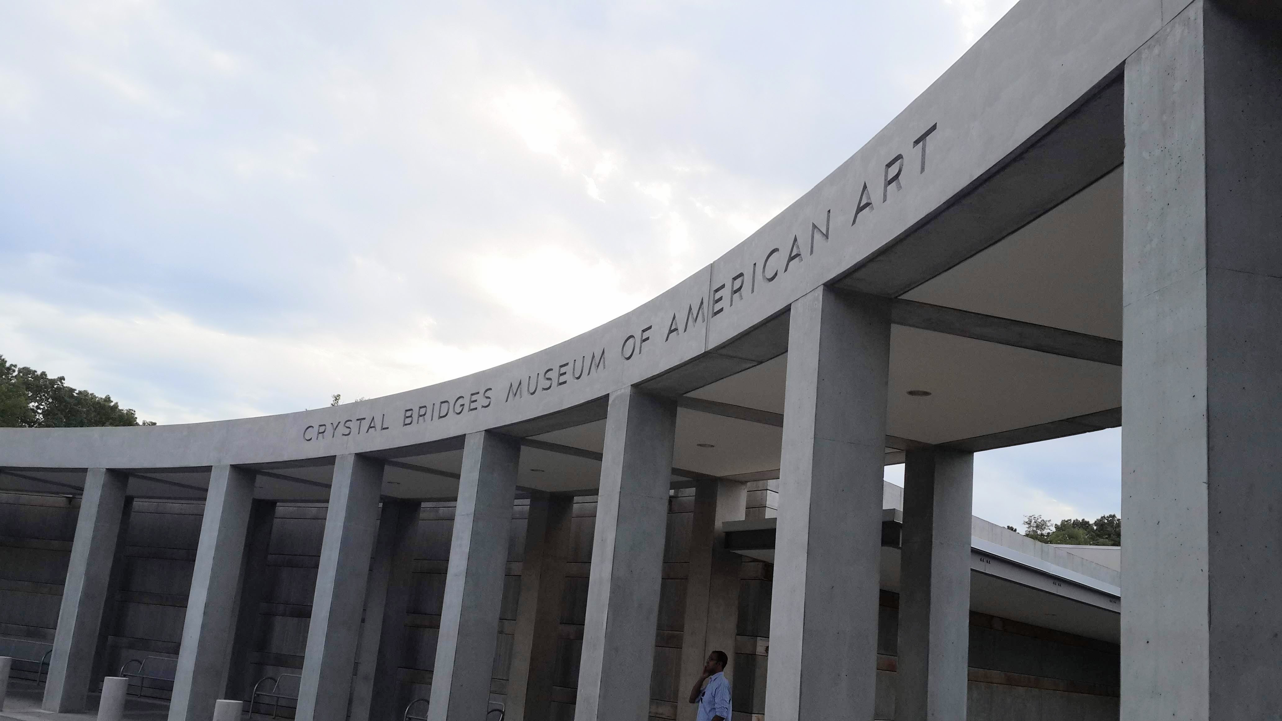
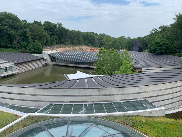
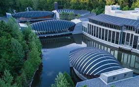
Surrounded by 120 acres of the Ozark forest, Crystal Bridges Museum of American Art in Bentonville, Arkansas, is definitely a different kind of museum. They like to say it is a mixture of art & nature in harmony. Crystal Bridges was founded in 2005 as a non-profit charitable organization by arts patron Alice Walton, the daughter of Sam Walton who started Walmart, it opened up to the public in 2011, since then museum has welcomed more than 5 million visitors.
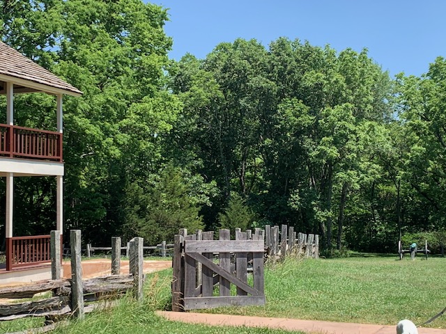
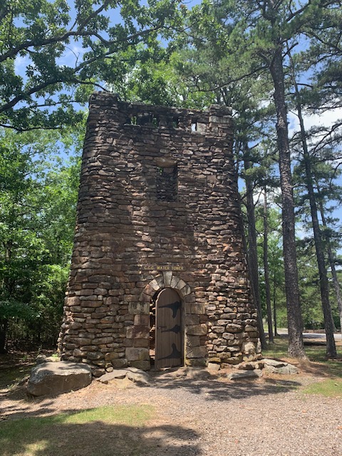
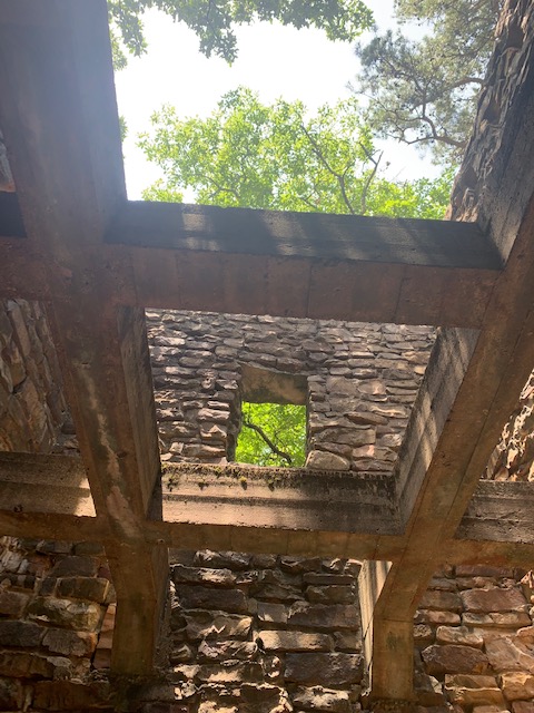
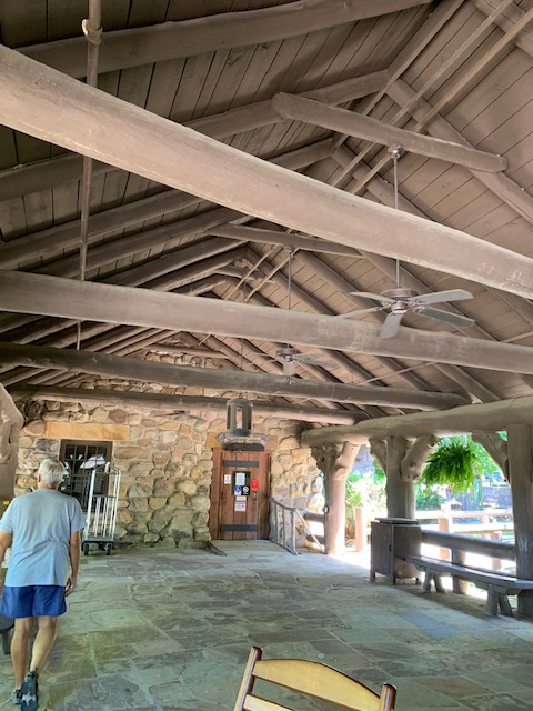
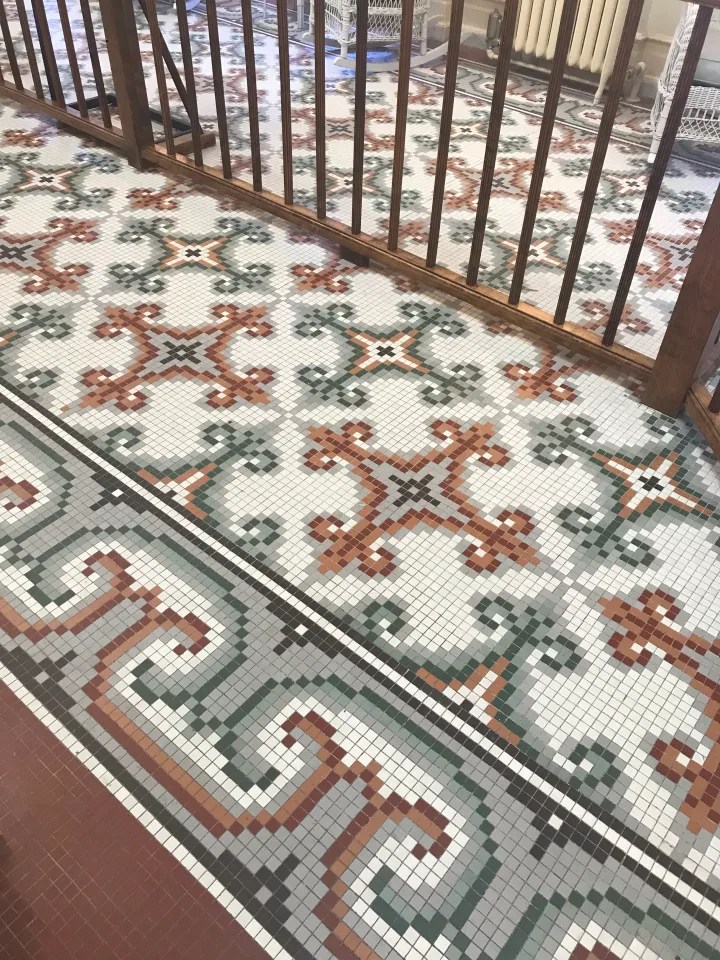
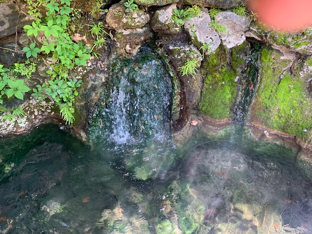
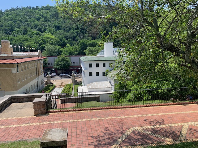
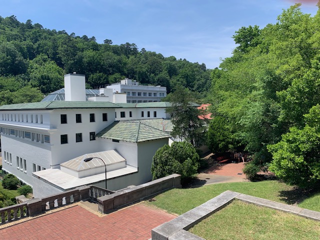
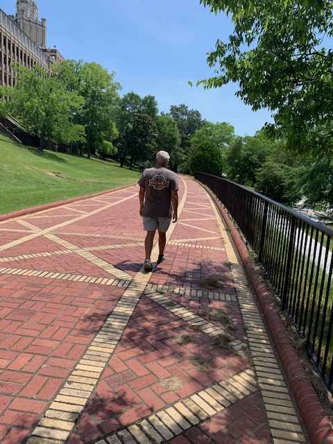
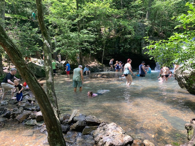
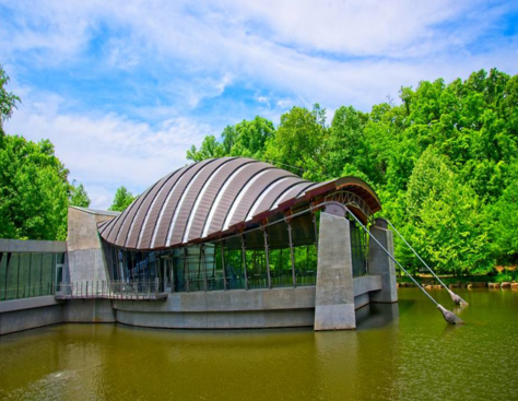
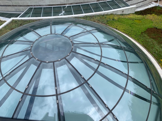
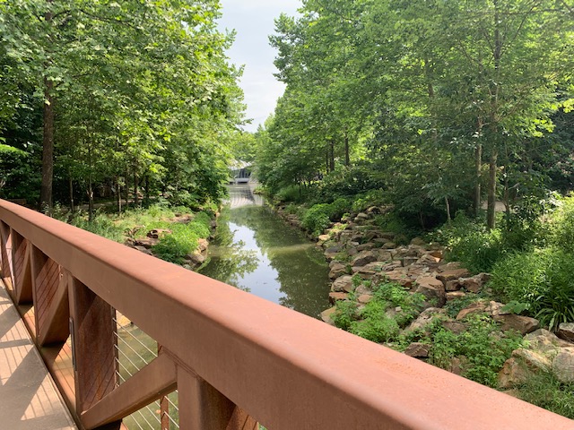
Architect Moshe Safdie pictured a building that would complement the surrounding landscape. Nestled into a natural ravine, the museum mixes the element of water on the site through two spring-fed ponds that are spanned by two signature bridge structures and surrounded by a group of pavilions housing museum galleries and studios. A Frank Lloyd Wright Usonian house was preserved, acquired, and moved to the museum grounds in 2015, and a rare Fly’s Eye Dome by Buckminster Fuller was installed in 2017, showcasing two American architectural masterworks in a natural setting that also includes five miles of sculpture and walking trails.
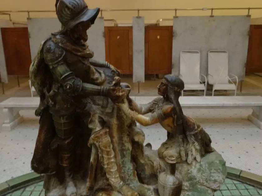
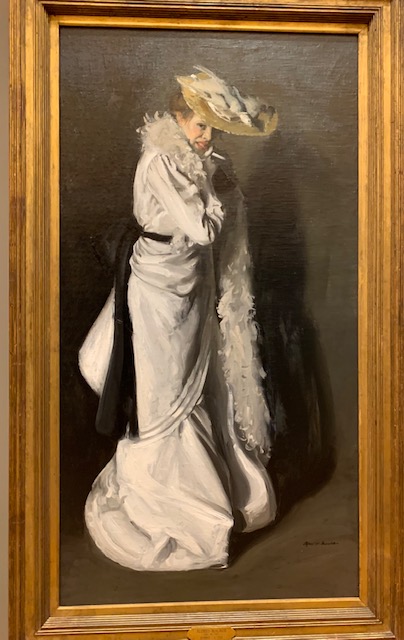
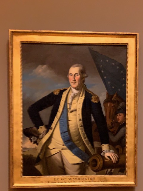
Crystal Bridges’ permanent collection spans five centuries of American artworks from Early American to the present, with an emphasis on artists underrepresented in art history and conventional museum settings. Works such as Asher B. Durand’s Kindred Spirits, Gilbert Stuart’s portrait of George Washington, and Georgia O’Keeffe’s Jimson Weed are displayed alongside pieces by contemporary artists.

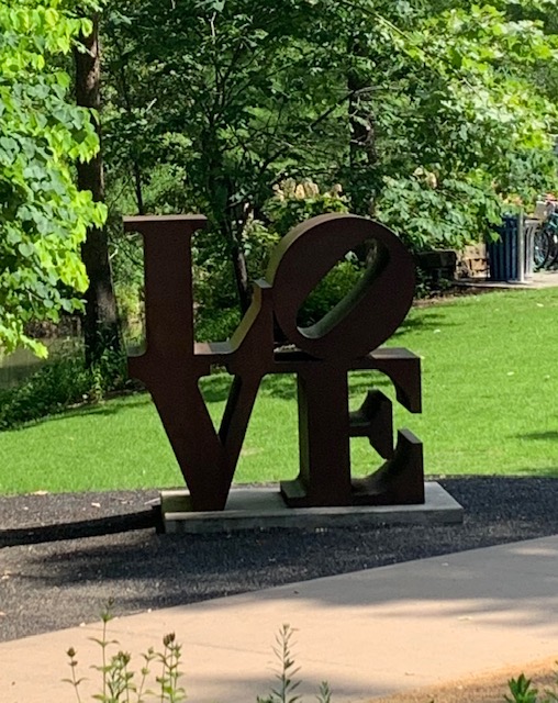
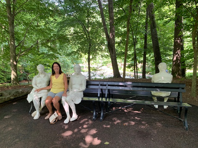
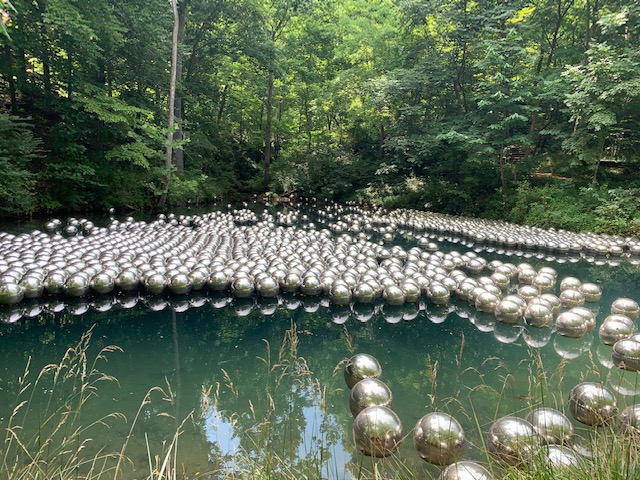

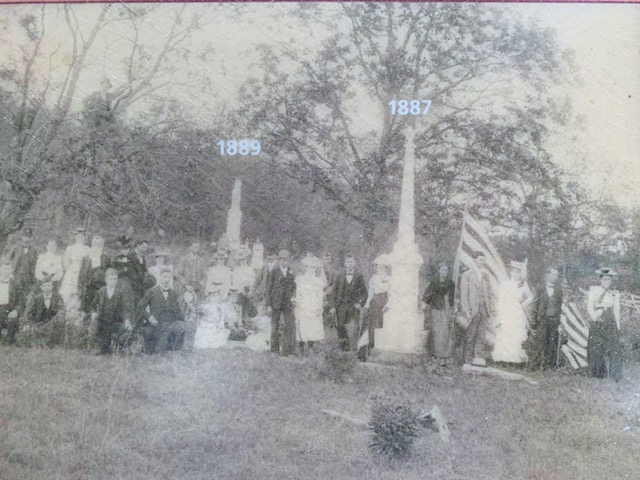
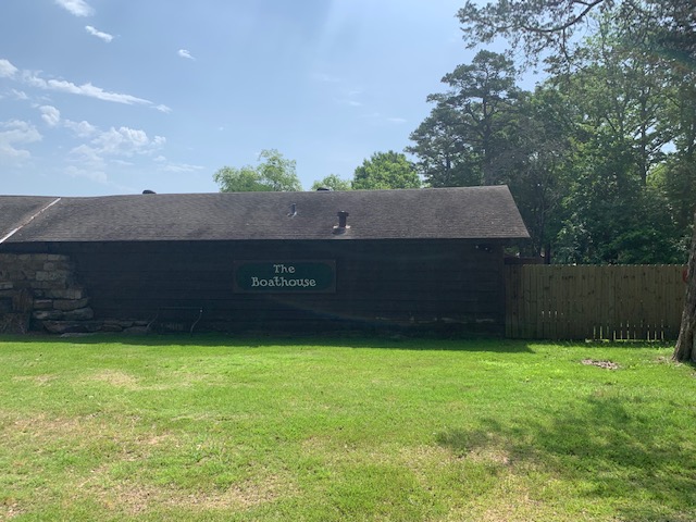
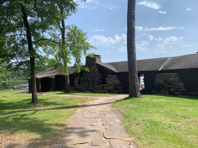
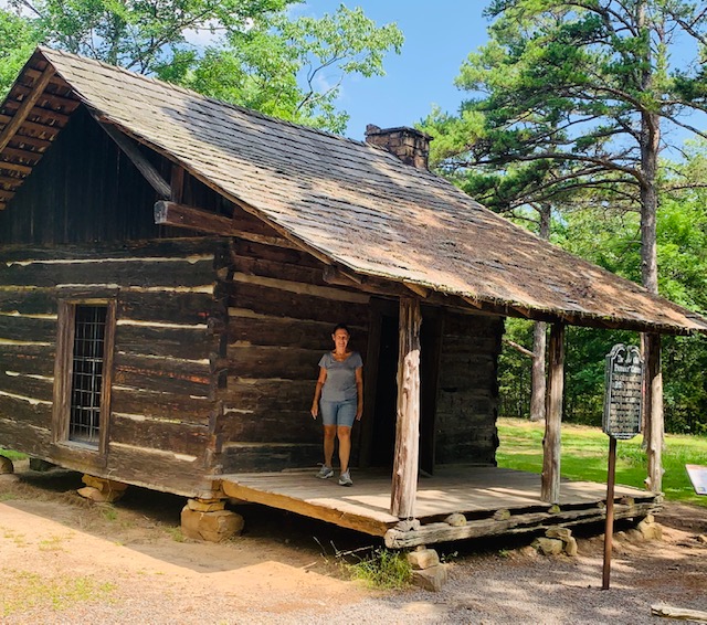
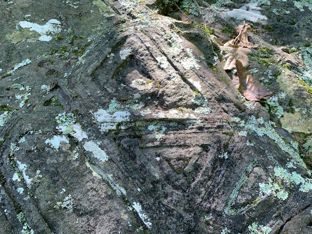
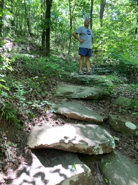
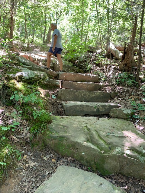
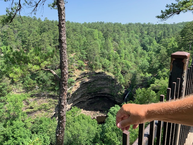
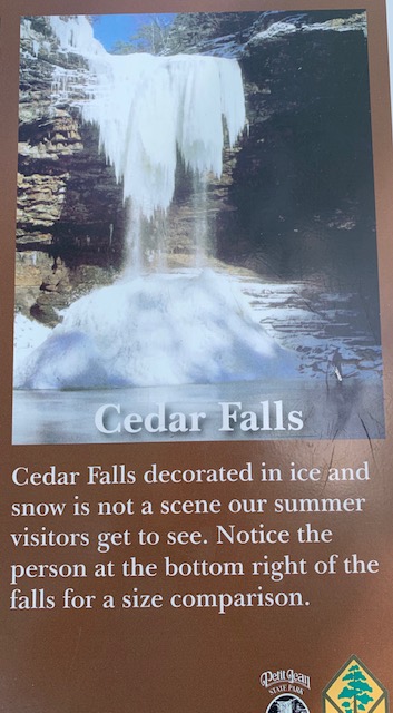
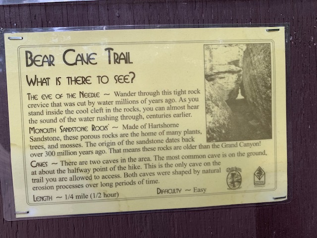
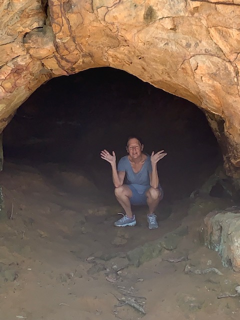
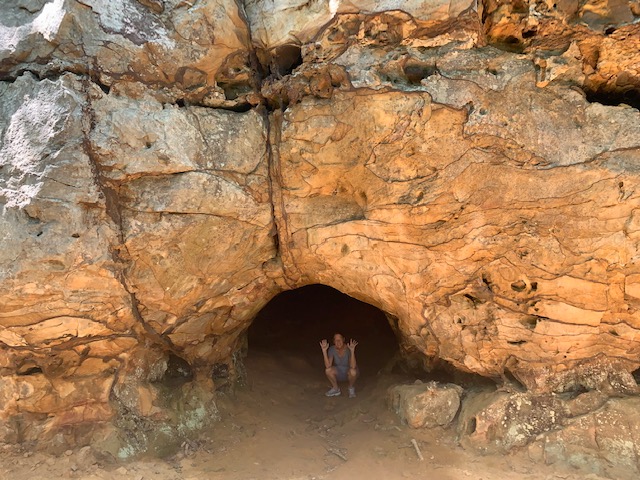
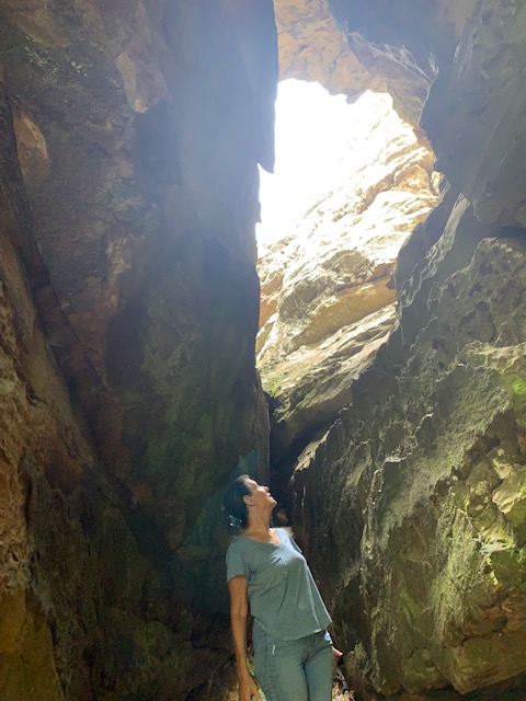
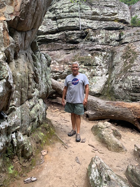
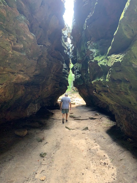
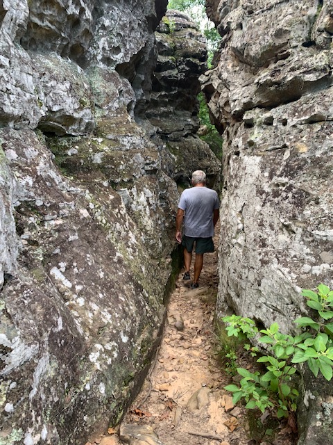
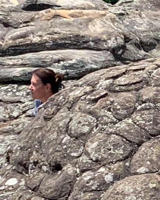
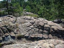
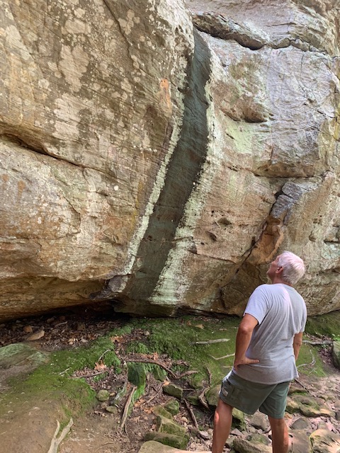
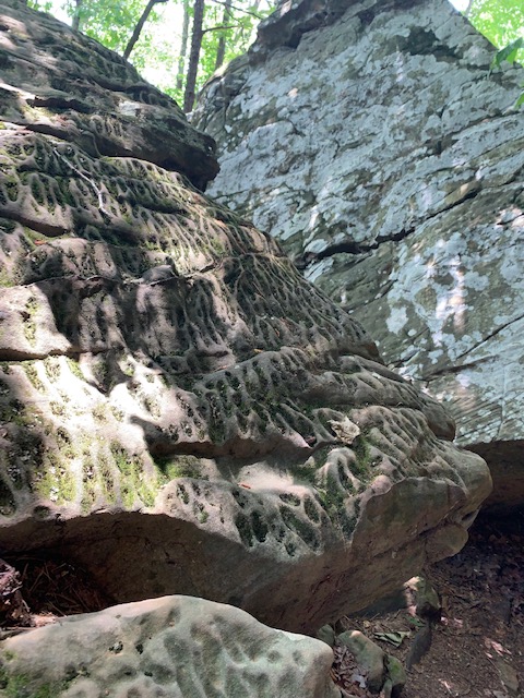
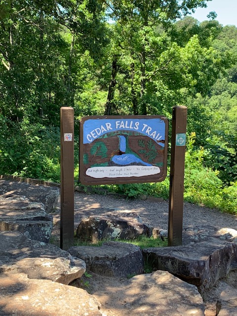
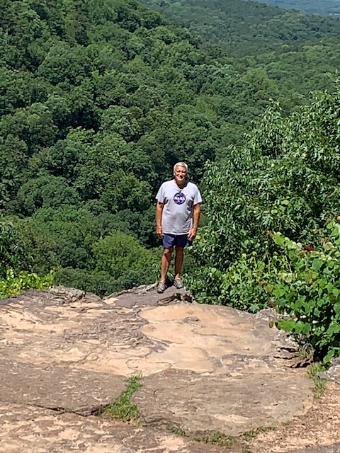
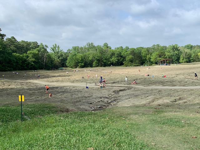
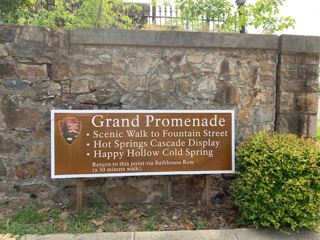
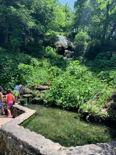
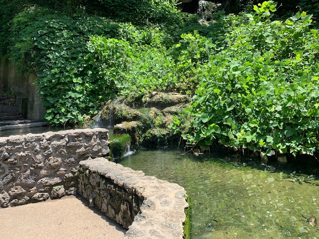
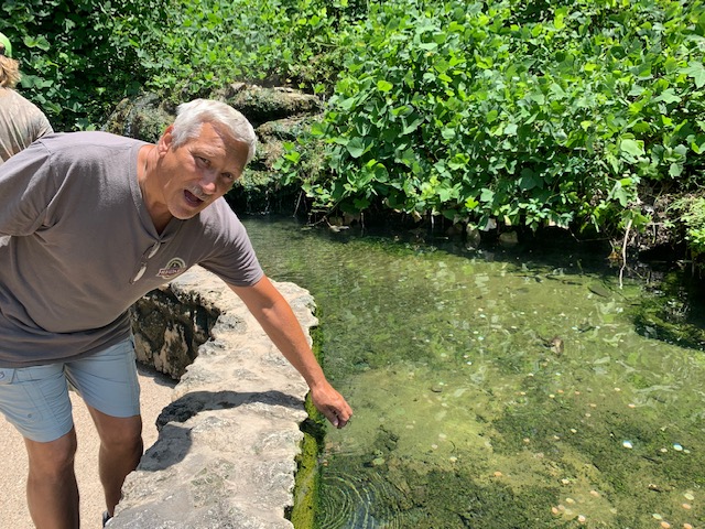
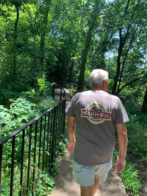
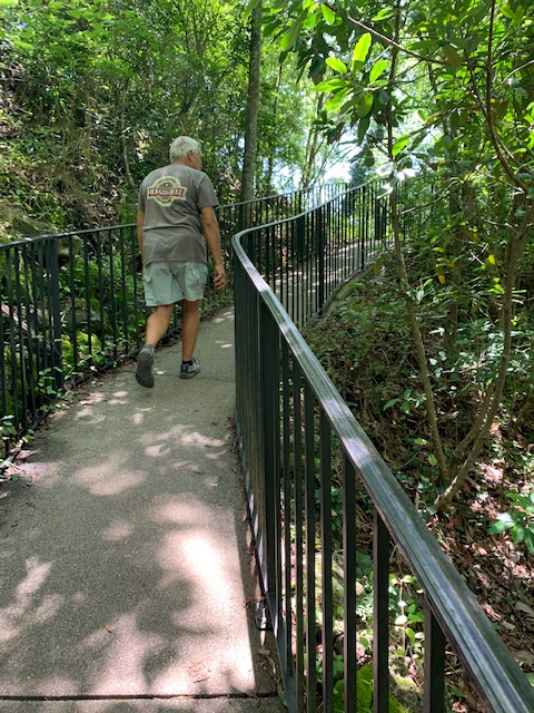
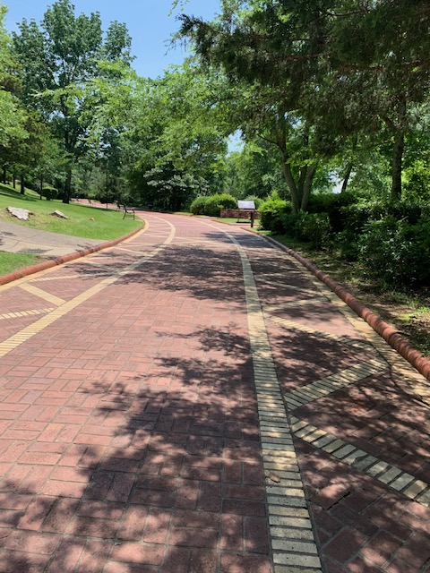
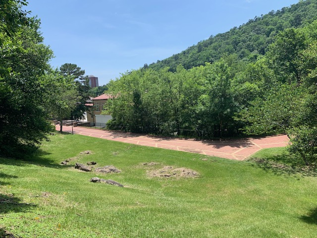
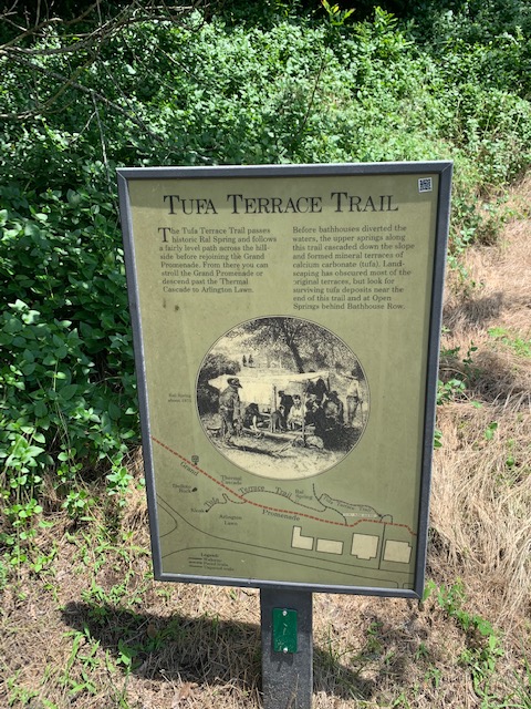
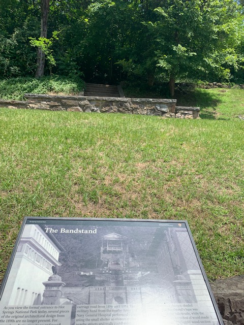
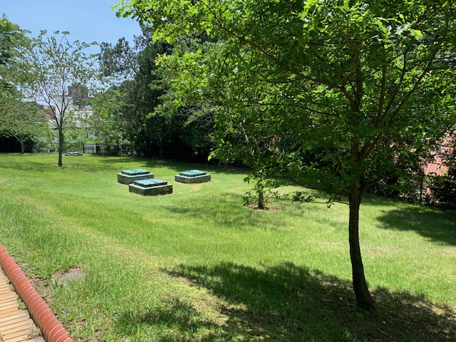
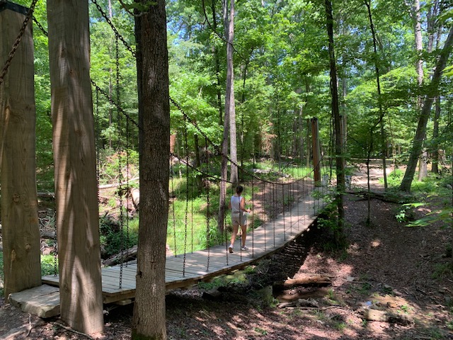
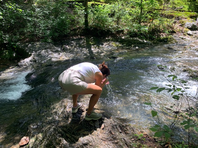
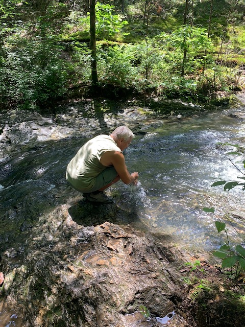
Around the museum they have 5 miles of trails with different kind of art work. We only were able to walk a mile due to time limitations, but you could actually spend a day here.
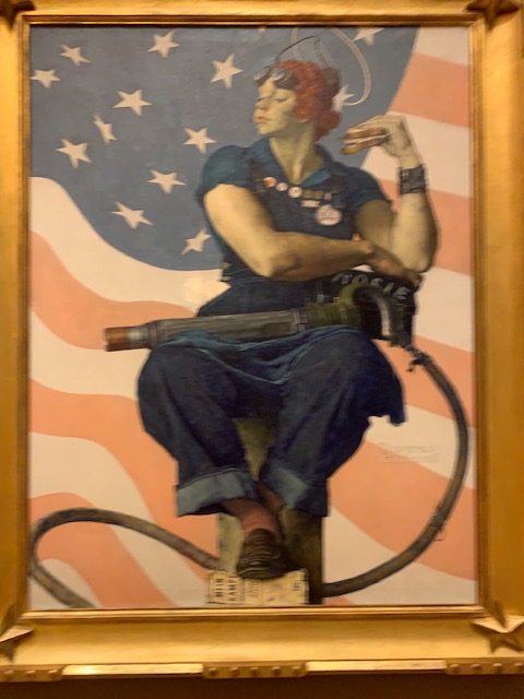
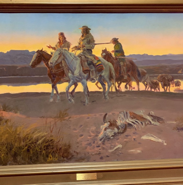
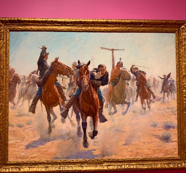
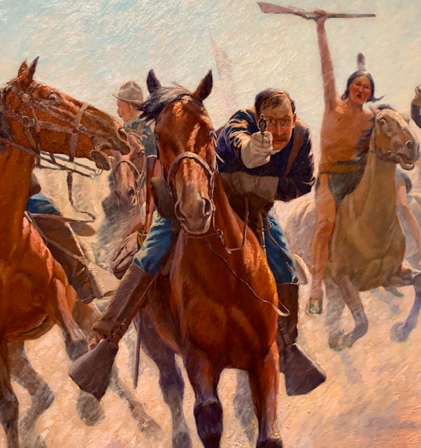
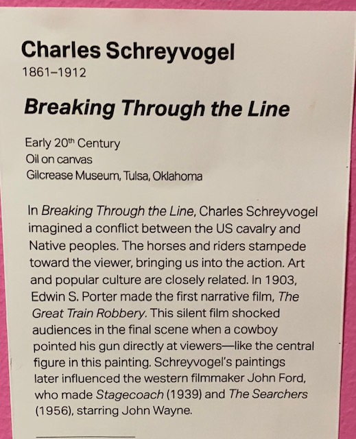
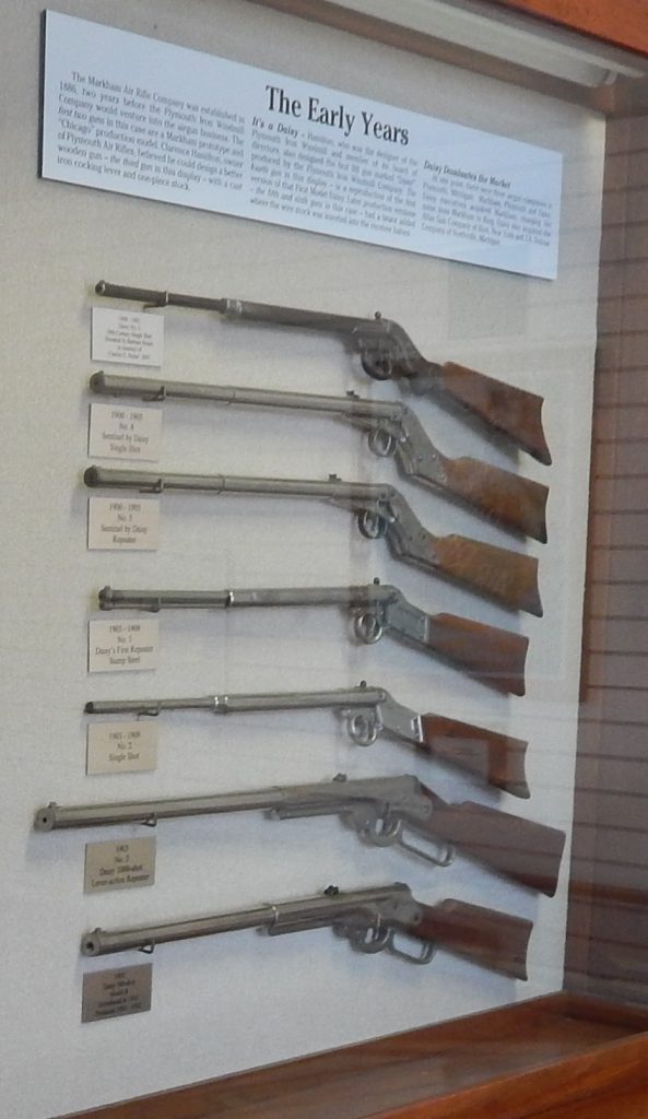
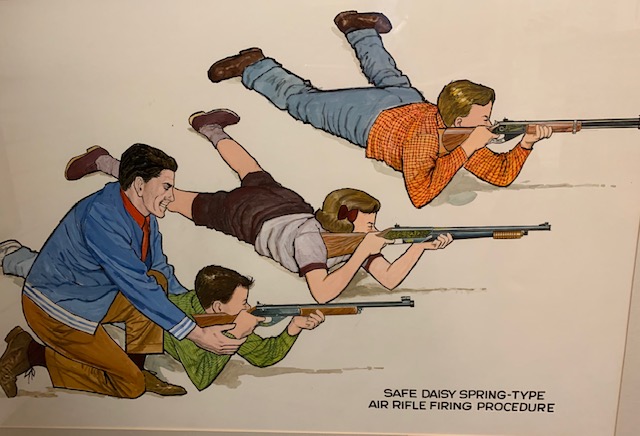
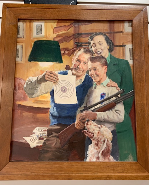
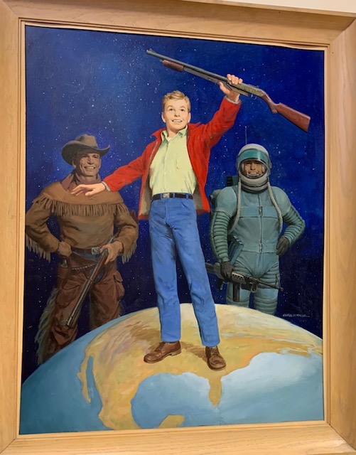
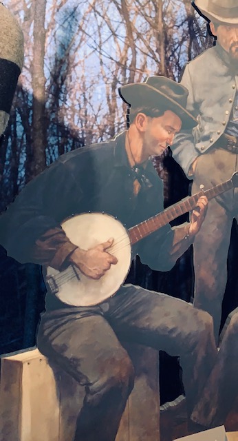
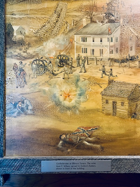
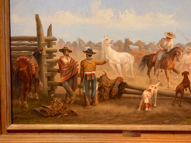
This painting by Charles Schreyvogel was my favorite. He mad you feel like you were going to be shot by the cavalry soldier for sure.

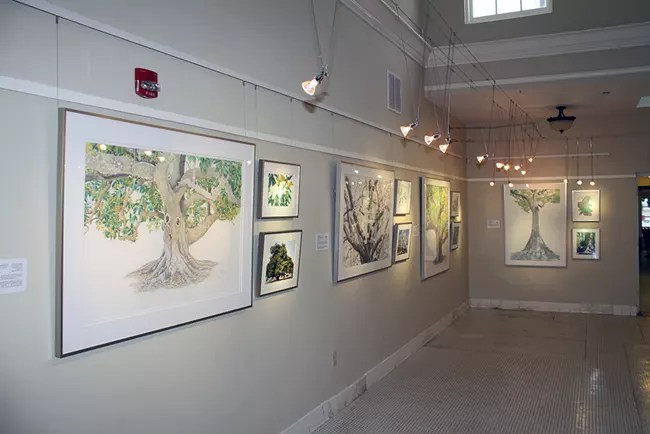
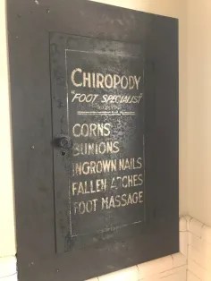
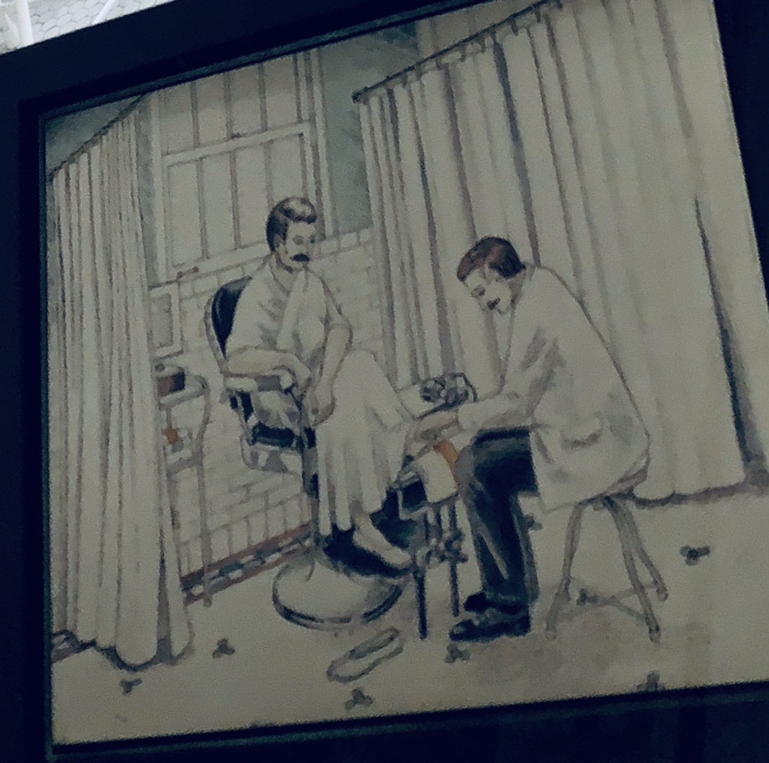
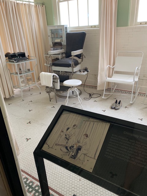
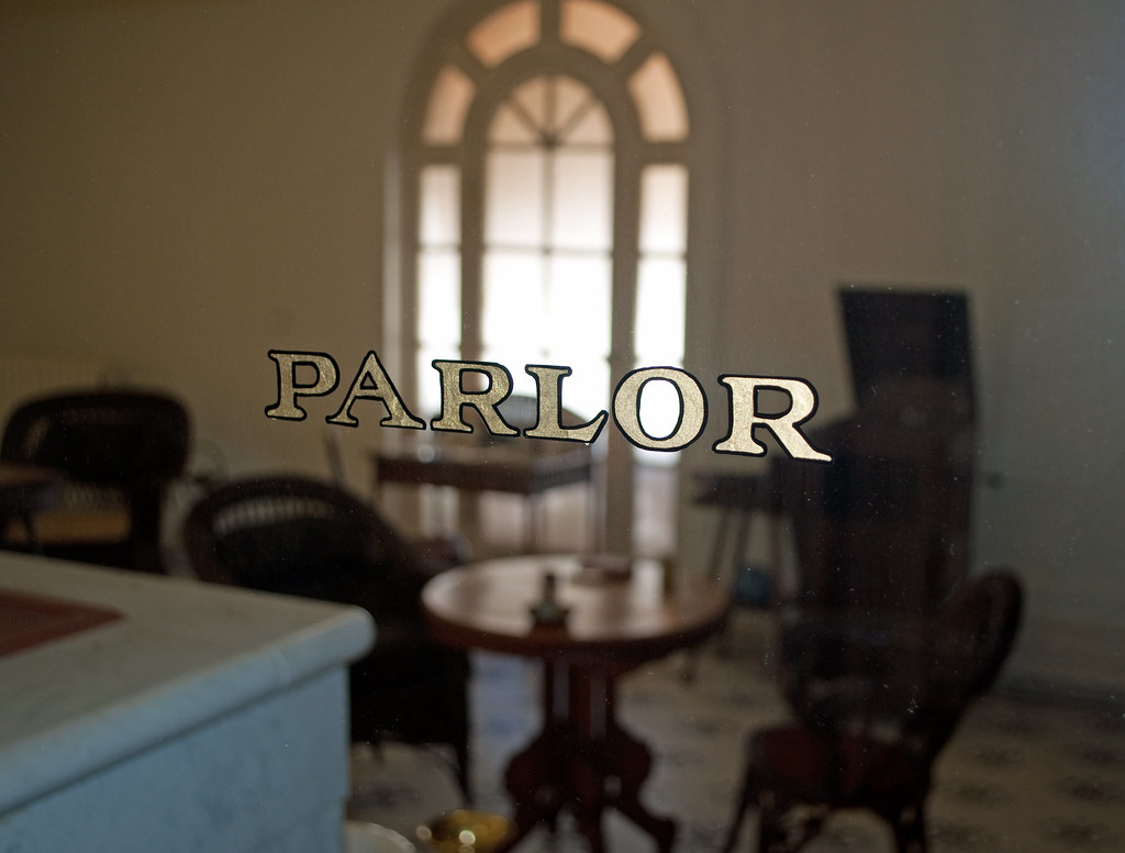
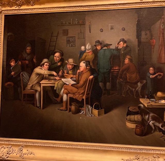
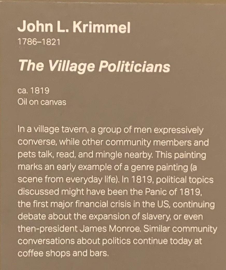
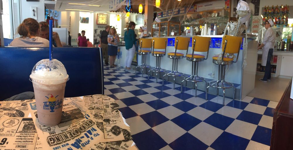
Dave & I were glad we stopped to see this art exhibit. I could only take a few pics but the paintings were fantastic. It reminded us of the time our friends Don & Mary took us to an art museum in Ohio where we saw some great paintings as well. We made sure we didn’t get to close to the paintings. 😊
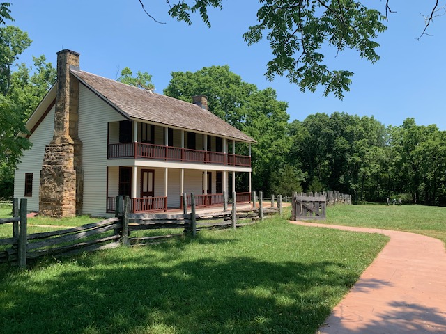
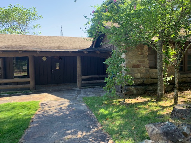
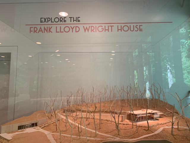
Inside the 120 acres is what we came to see the Frank Lloyd Wright Bachman-Wilson House.

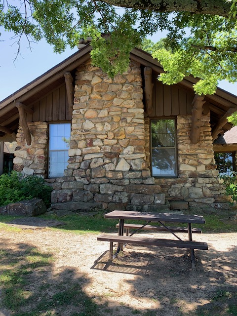
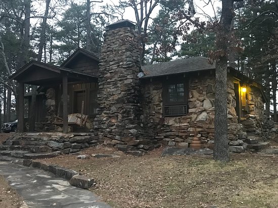
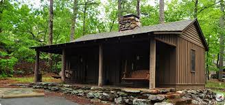
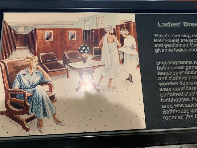
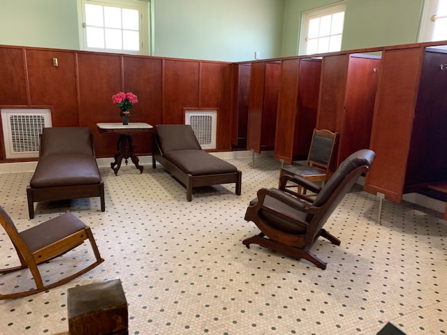
This house was originally built for Gloria Bachman Wilson and Abraham Wilson in 1954 along the Millstone River in New Jersey. It was subsequently purchased by architect/designer team Lawrence and Sharon Tarantino in 1988 and meticulously restored. However, the structure was threatened by repeated flooding at its original location, and the Tarantinos eventually determined that selling the house to an institution willing to relocate it was the best option for its preservation. Crystal Bridges acquired the house in 2013. The entire structure was then taken apart and each component was labeled, packed, and loaded into two trucks for transportation to the Museum. After its 1,235 mile journey, the Bachman-Wilson House arrived in Northwest Arkansas in April, 2014. Scott Eccleston, Crystal Bridges’ Director of Operations, spearheaded the reconstruction process. The Frank Lloyd Wright house is now situated a short distance from the Museum’s south entrance, with views overlooking the native woodlands and Crystal Spring.

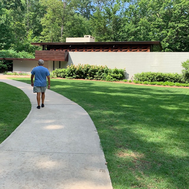
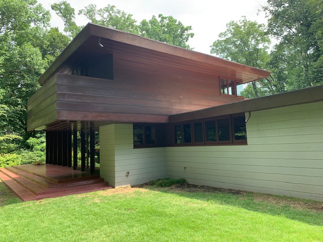

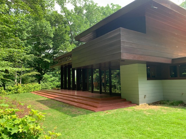


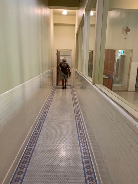
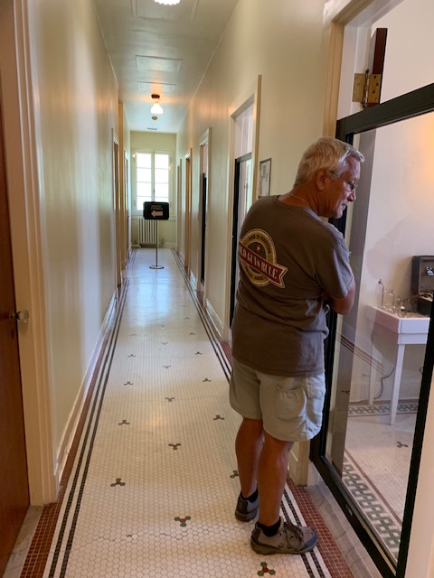
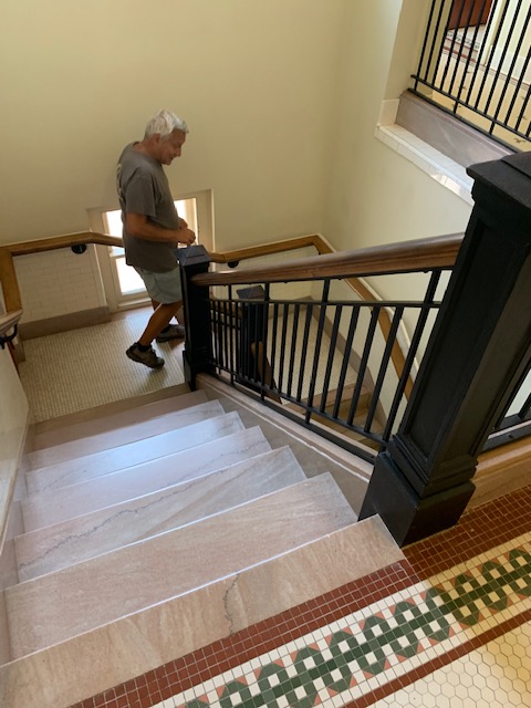
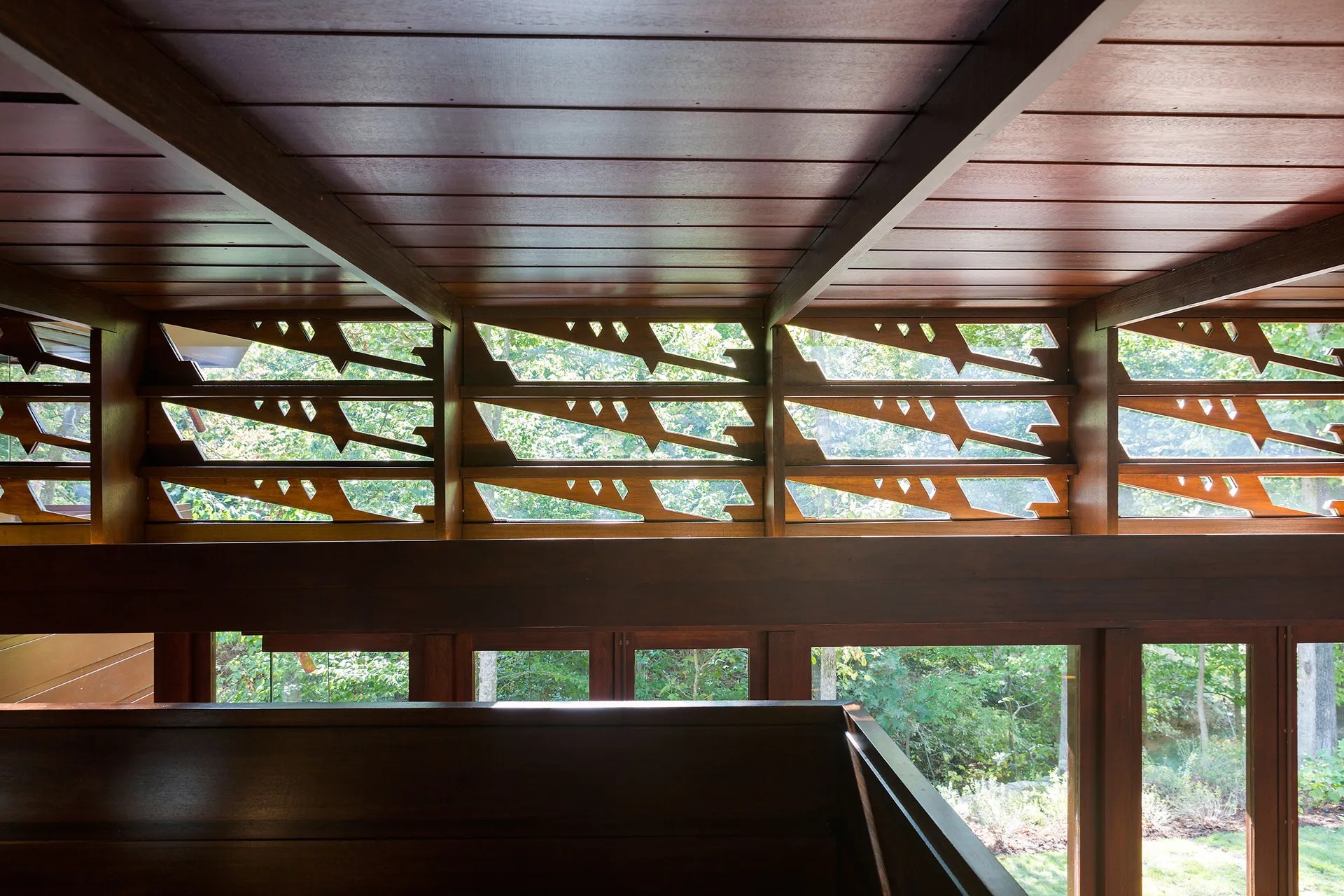
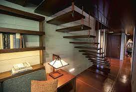
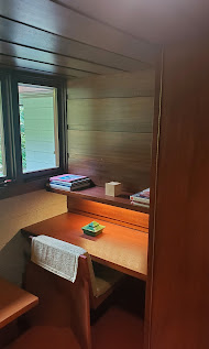
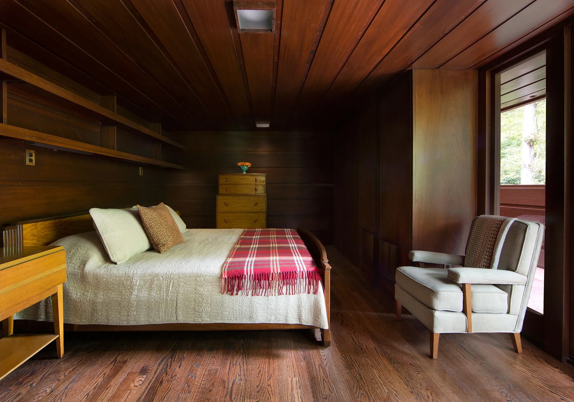
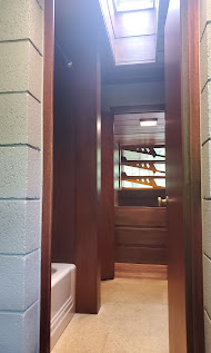
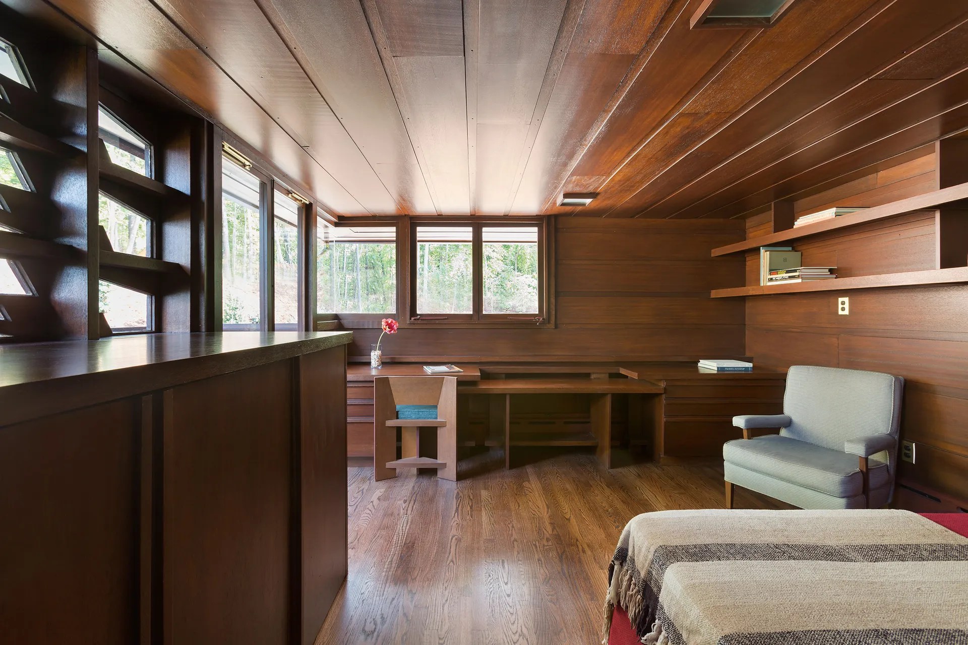
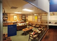
When you walk in the house and enter the living room you definitely get the feeling your linked to the outside and nature with all the windows.
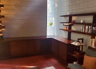
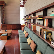
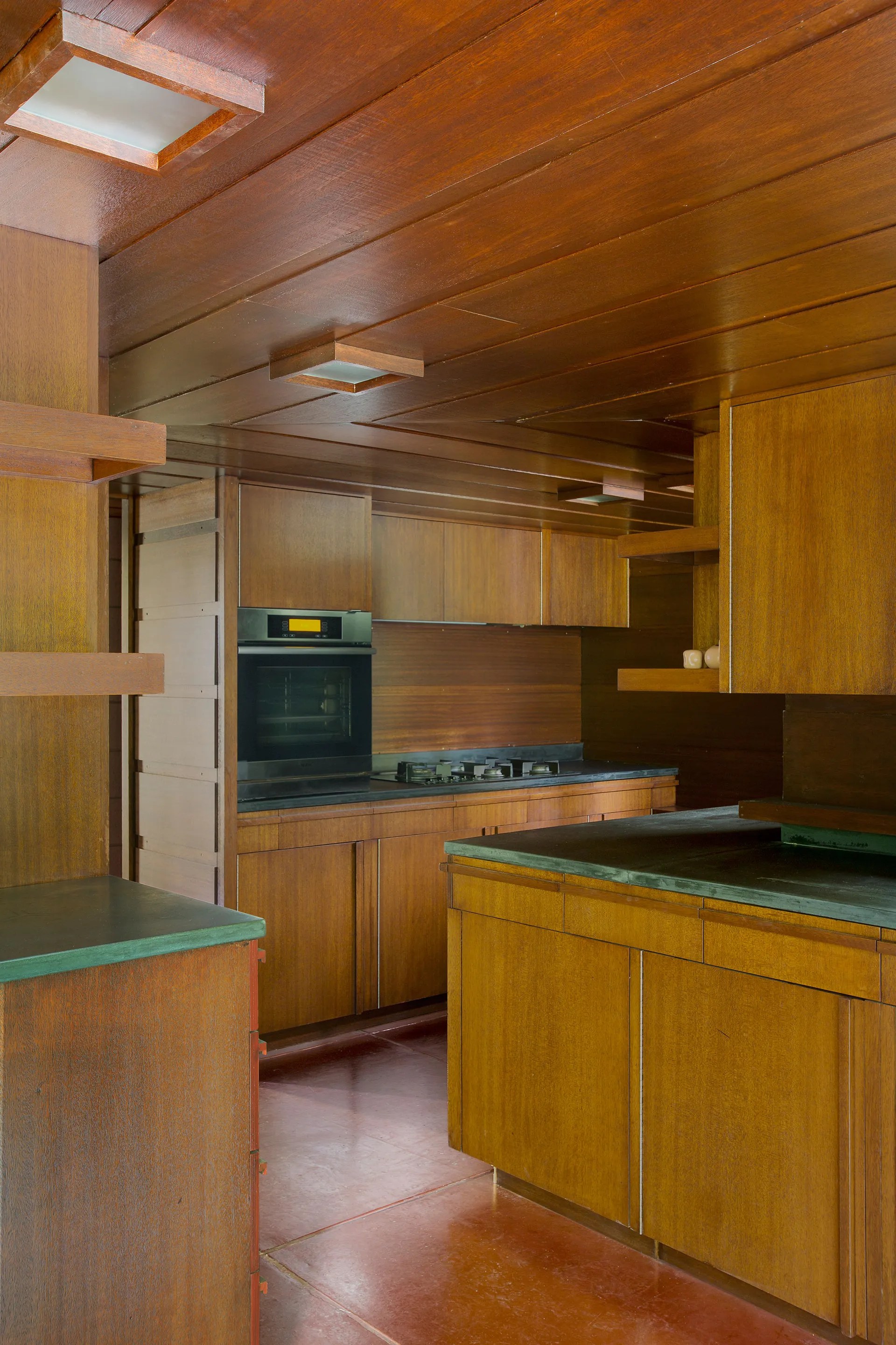
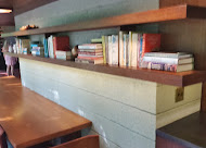
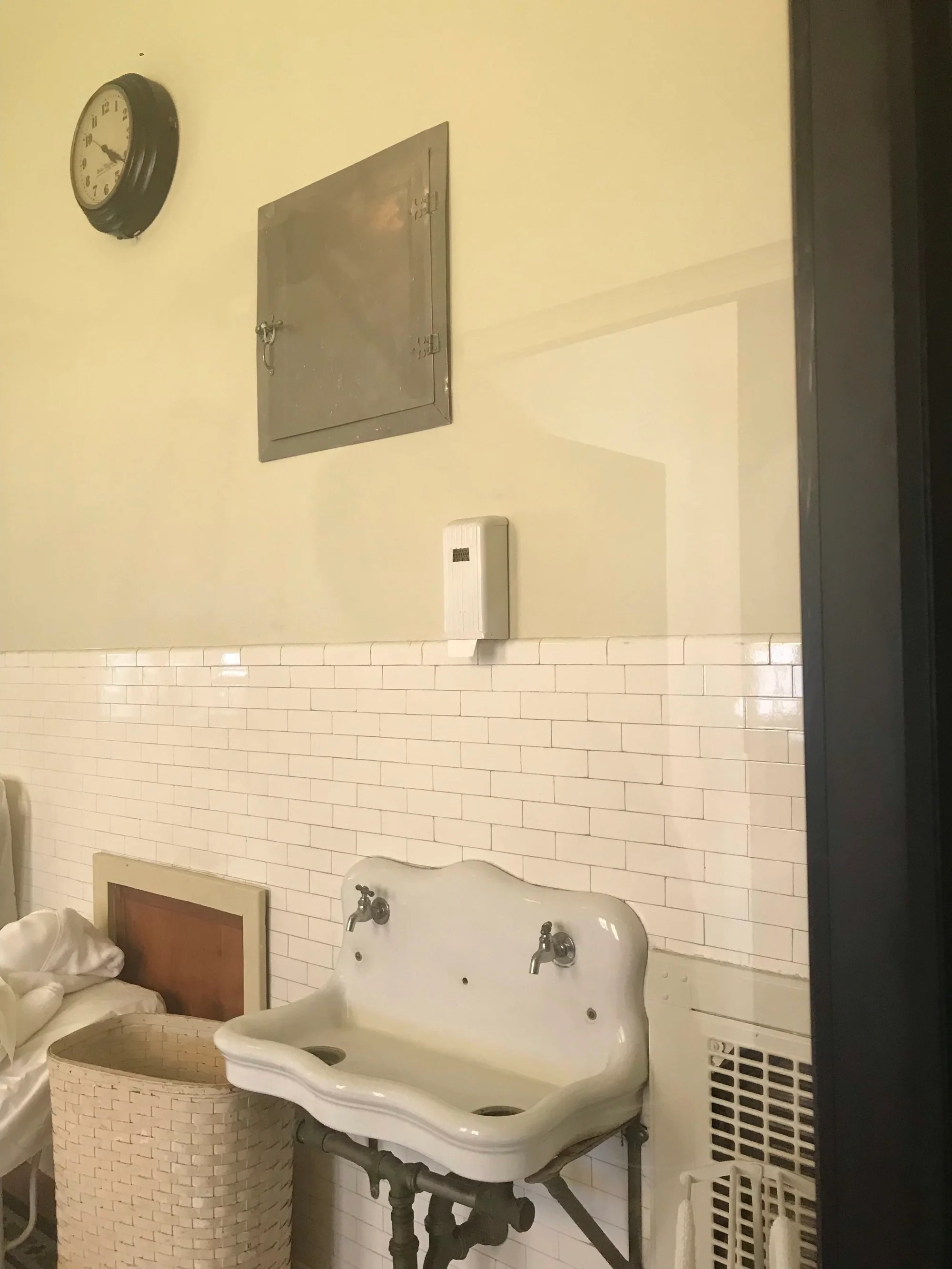
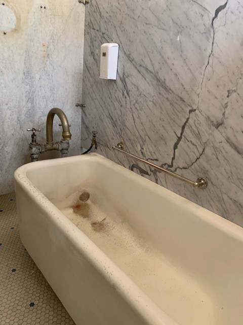
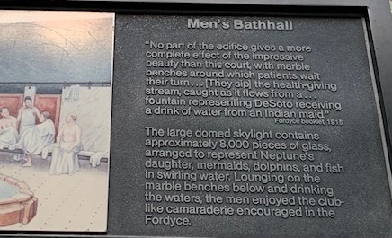
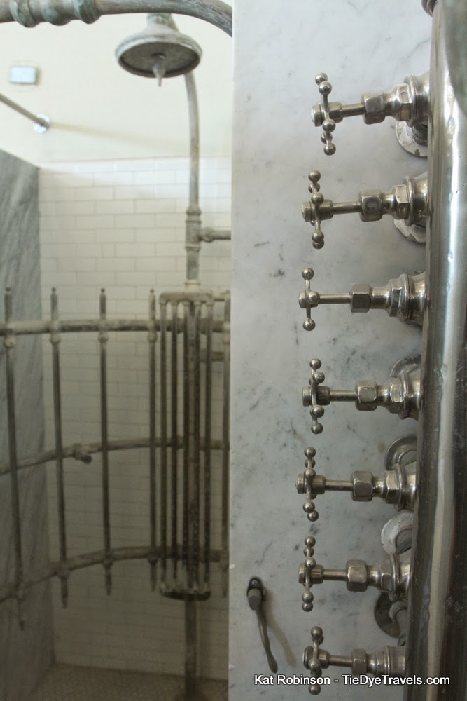
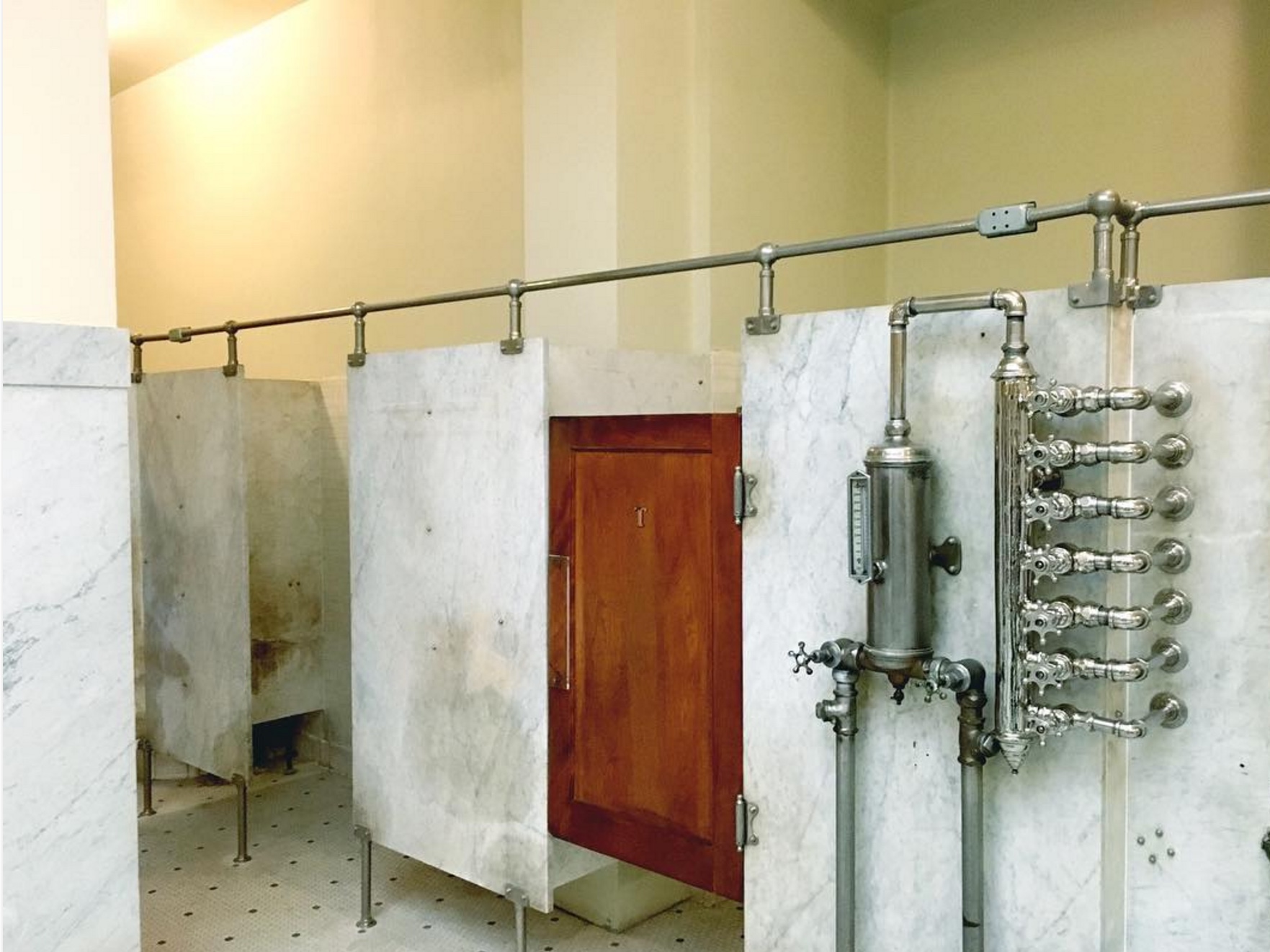
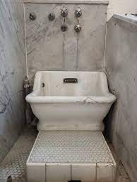
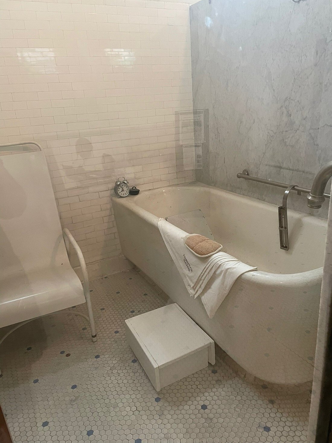
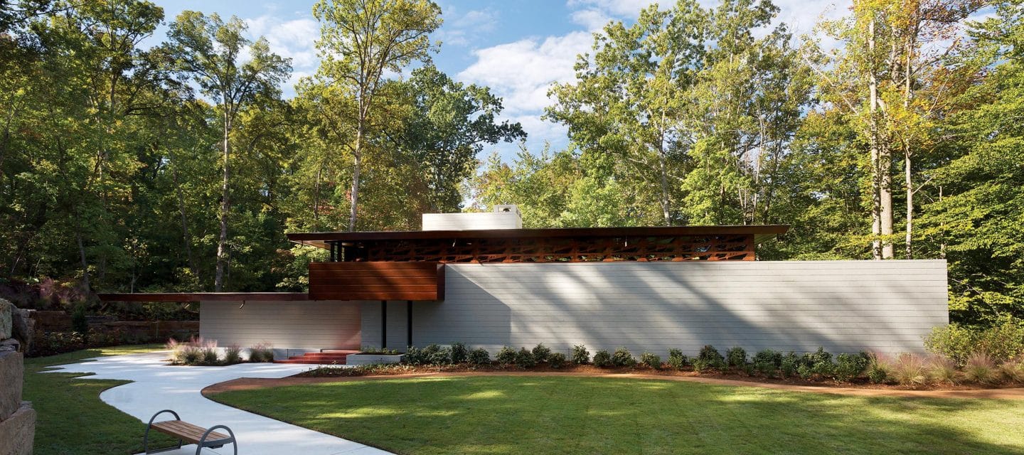
The first floor living room, dining room, kitchen and guest room and there is also a bathroom on the first floor.
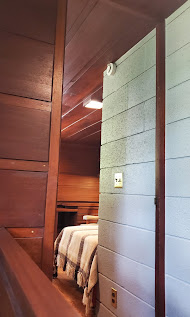
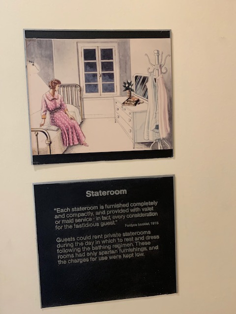
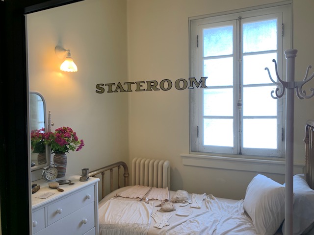
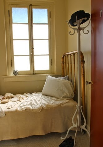
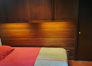
We weren’t allowed to go up the stairs because of deterioration but I got pictures from their website. There is a master bedroom, bathroom and another bedroom that goes out into the terrace.
An impressive house for sure, he was way ahead of his time.
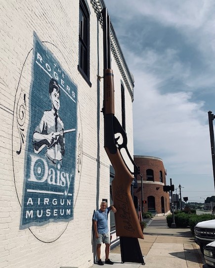
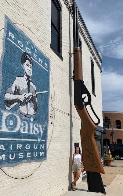
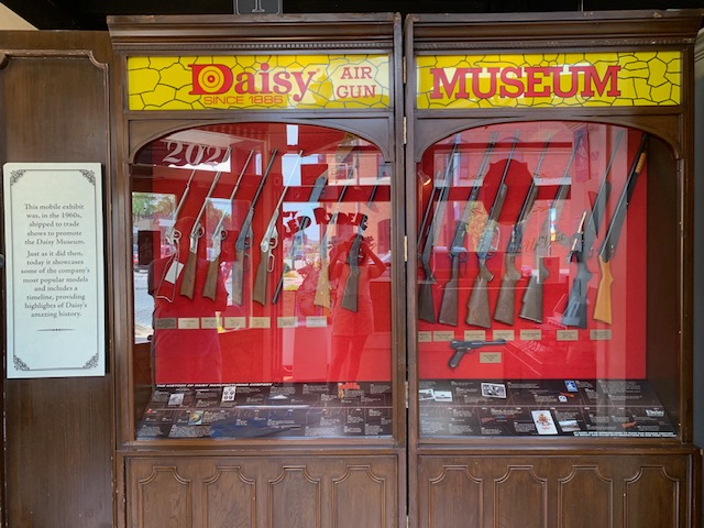
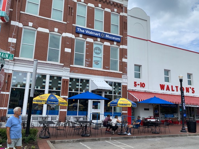
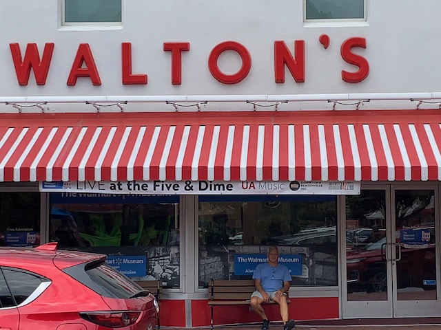
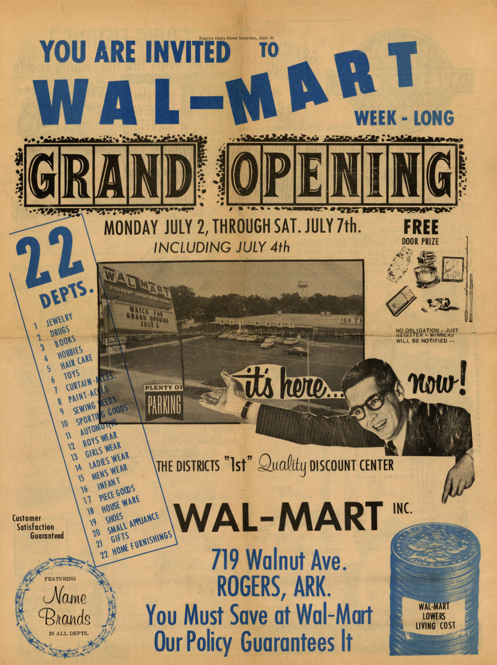
The adventure doesn’t stop there. We also went to where the first Walmart store was born, where the Walmart Museum is.
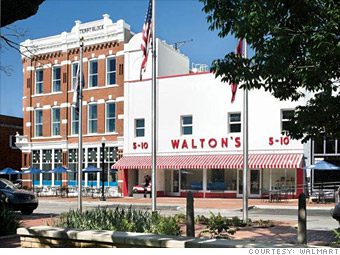
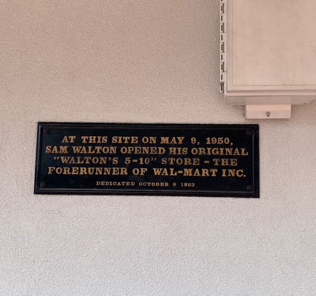
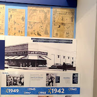
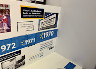
Company founder Sam Walton was born in 1918 in Kingfisher, Oklahoma. In 1950 the Waltons moved to Bentonville, Arkansas where Sam opened a Ben Franklin franchise store that he named Walton’s 5&10. It proved successful and over the next decade he opened 14 stores. In 1962 Walton cut ties with Ben Franklin and established his own company. His first store under the name Walmart opened that same year in Rogers, Arkansas. The company grew steadily, spreading nationwide by the 1970s. Walton opened the first Sam’s Club in 1983 and the first Walmart Supercenter in 1988. By the 1990s, Walmart had become the nation’s top retailer, and had expanded internationally. The rest is history.
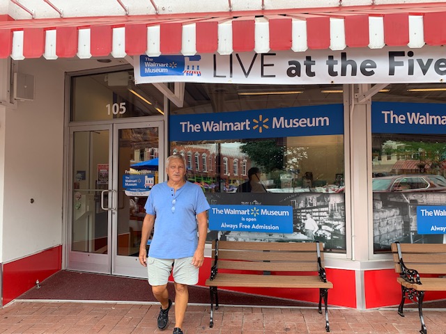
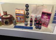
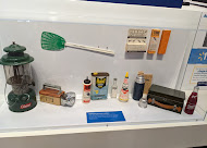
The Walmart Museum tells the early history of the global business and its founder, Sam Walton. Owned and operated by Walmart, the museum is housed in the original Walton’s 5&10, the store that began the Walton family’s retail empire. It contains multiple exhibits, a vintage toys souvenir shop, and an ice cream café. The museum has had over two million visitors since it first opened in 1990.
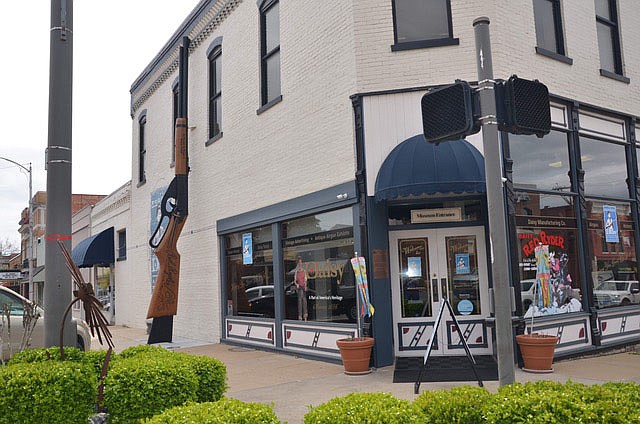
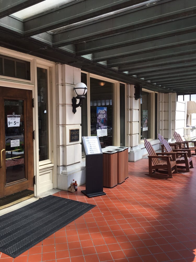
Walmart 5&10

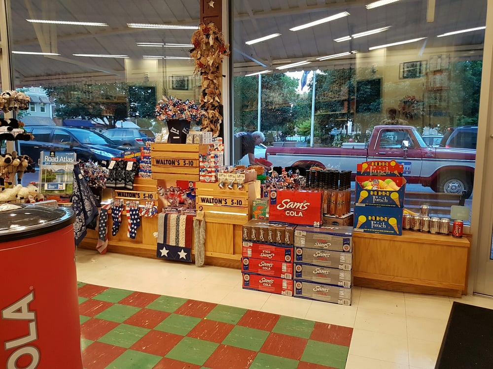
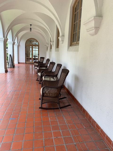
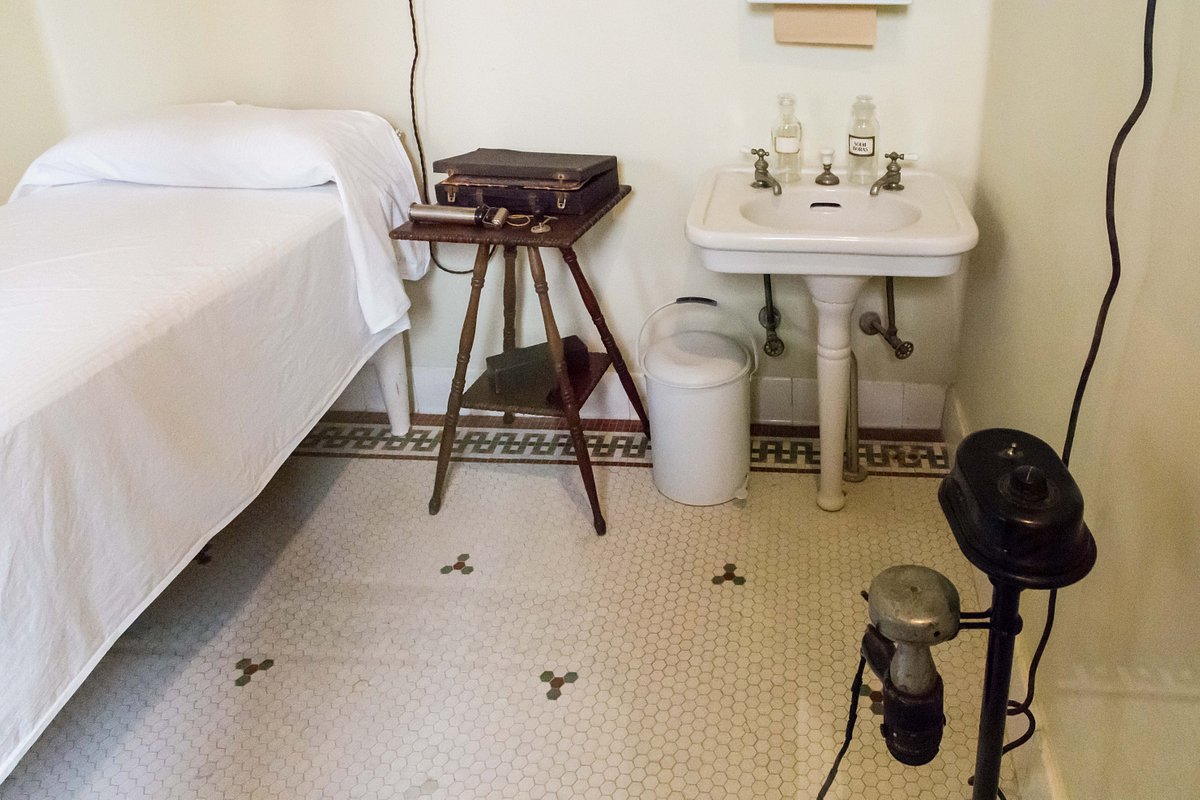
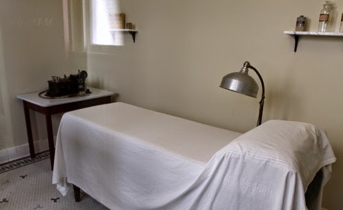
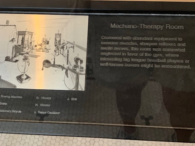
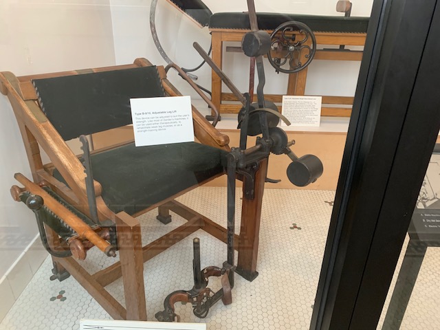
You enter thru the original Walmart 5&10 store to the Walmart museum. We weren’t allowed to take pictures but I got these from their website. It has the original red & green floor tile.

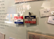

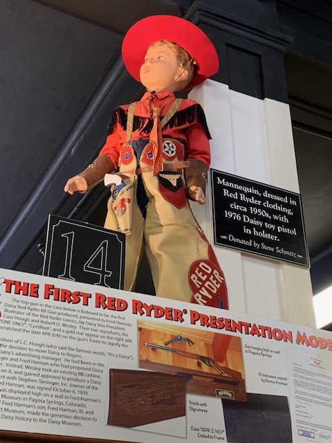
It was a great tribute to Sam Walton & Walmart. Lots of displays and very informative. Sam started the first Walmart store in 1962 and the first one to come into the Western New York area was in the 1990s. He had great ideas about the customer being the boss.
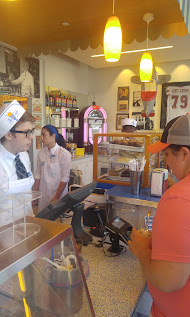
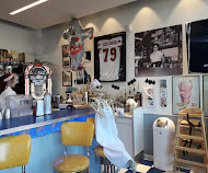
you exit thru The Spark Cafe that serves ice cream. Ice cream was one of Sam Walton’s favorite things so they added it to the museum. We both got ice cream cones, waffle cone with one scoop of ice cream for $1.59 a cone, can’t beat that.
The Walmart museum was fun and educational. I can see Sam Walton’s ideas of how to operate a store by being a friend to everyone and the customer being always right was the way to operate. But now there being thousands of Walmart stores in the US and some in other countries, it certainly has lost that small town charm & feel.
Walmart funded Crystal Bridges Museum of American Art and the Walmart Museum so a very nice thing they did was to make it free to everyone. We had another great day.