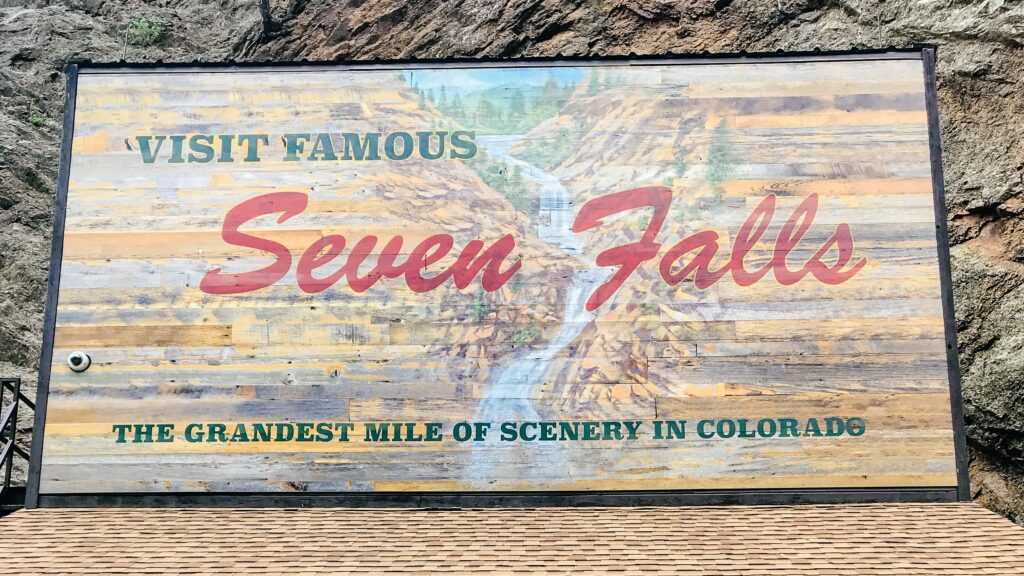
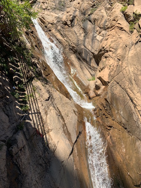
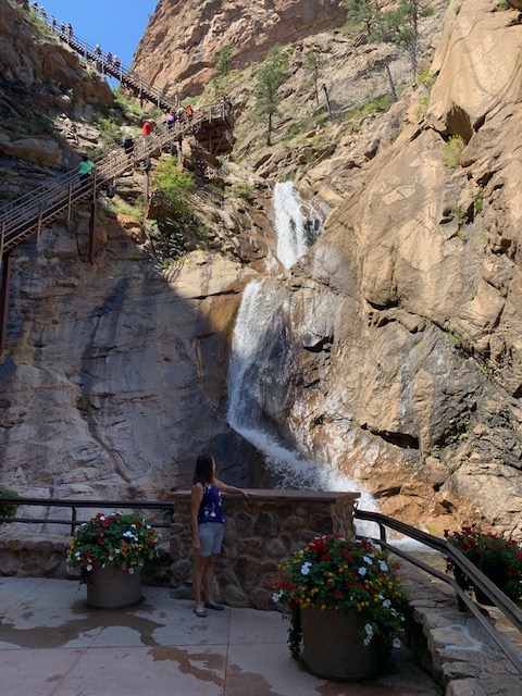
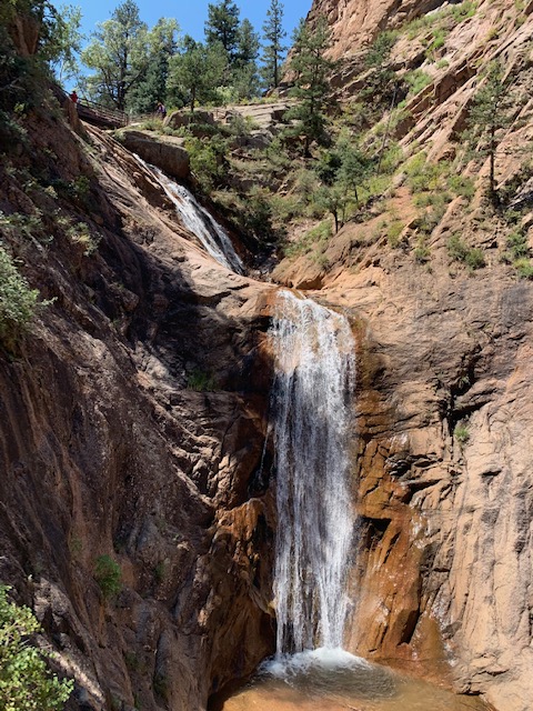
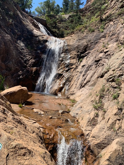
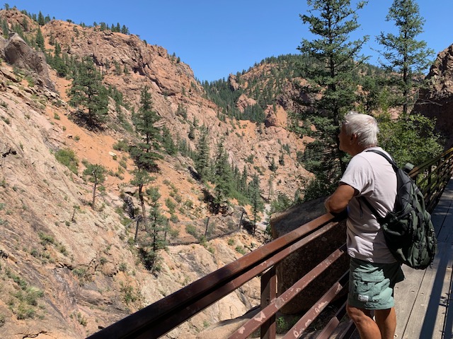
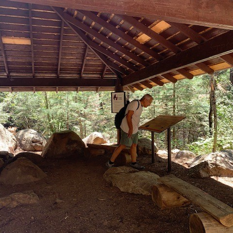
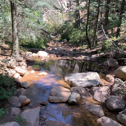
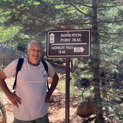
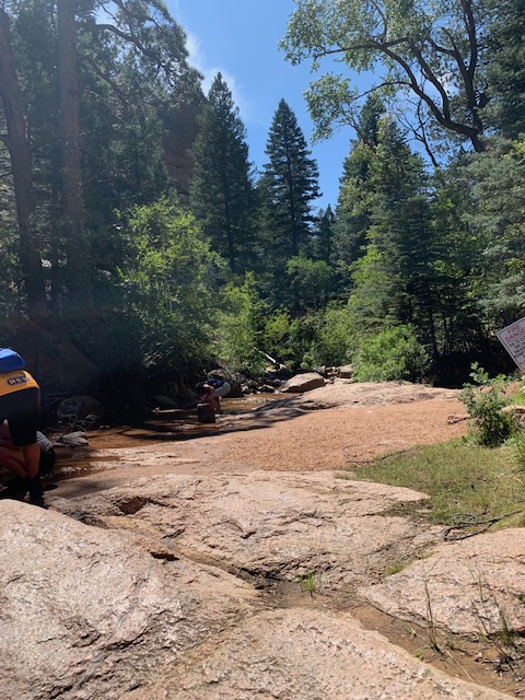
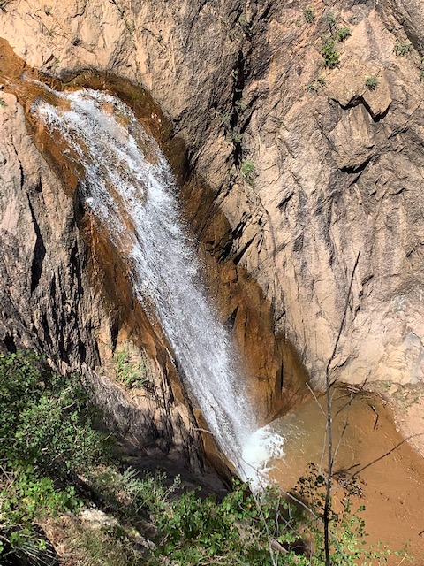
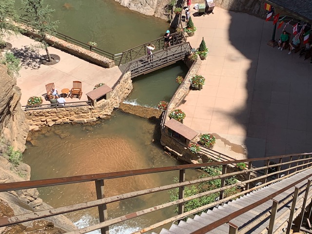
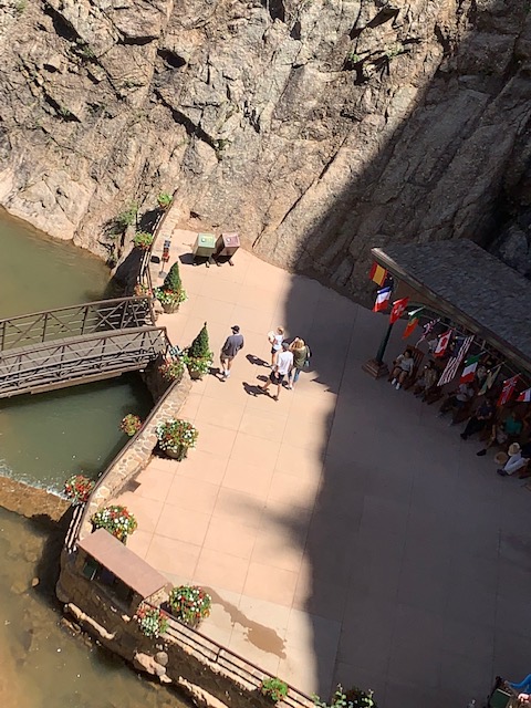
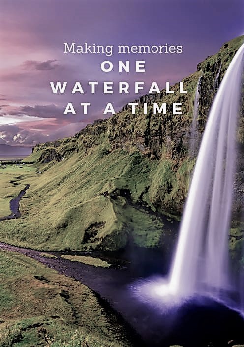
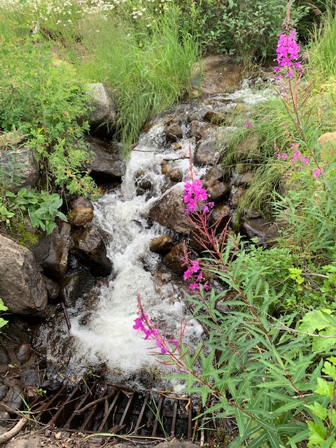
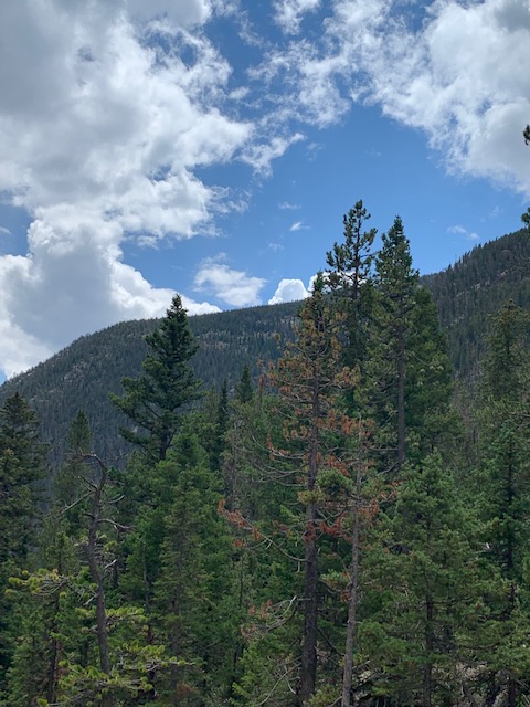
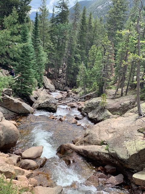
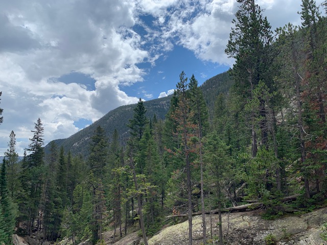
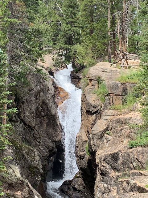
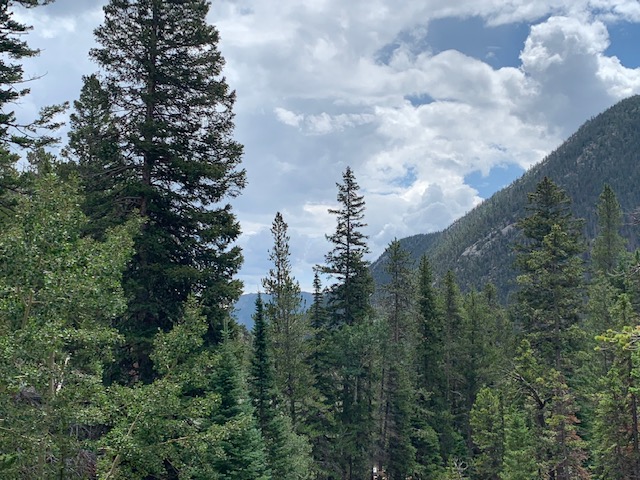
Near Colorado Springs is one of Colorado’s most captivating natural wonders. Seven Falls is the only waterfall in the state on National Geographic’s list of International Waterfalls, and often called “The Grandest Mile of Scenery in Colorado.
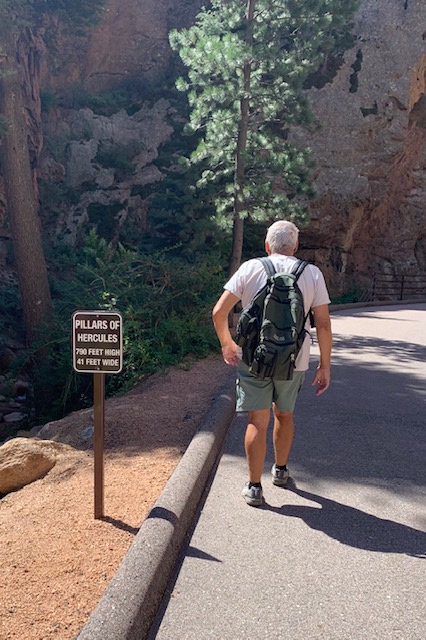
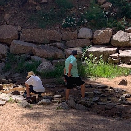
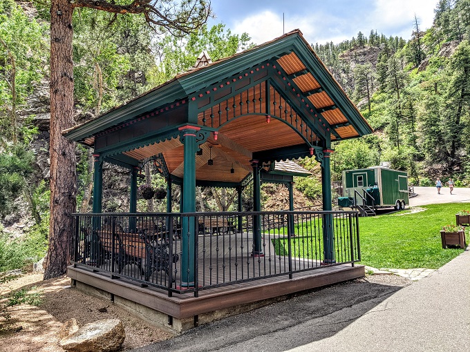
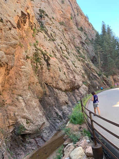
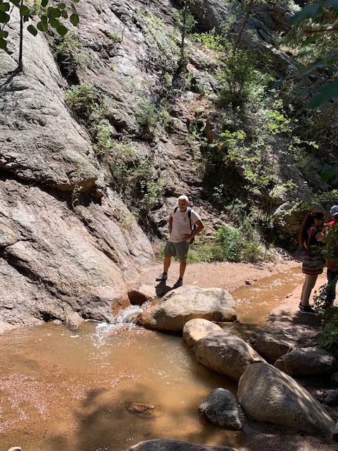
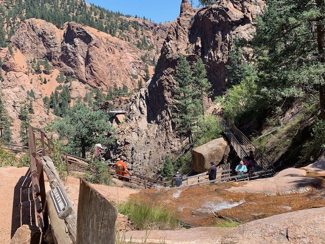
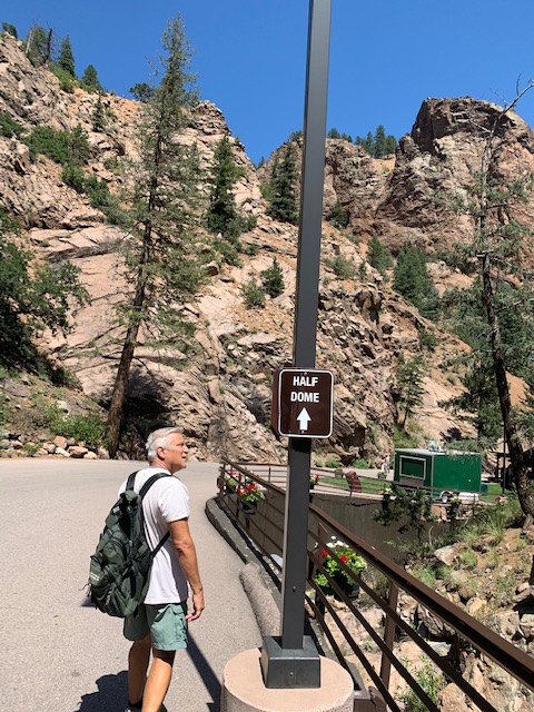
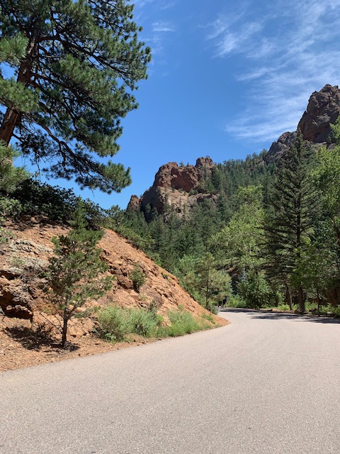
We drove to where a shuttle picked us up and brought us into Seven Falls. You can take a shuttle from there or walk to the falls, we walked and we got to see some great scenery along the way.
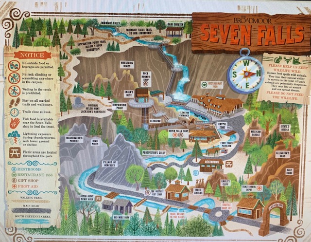
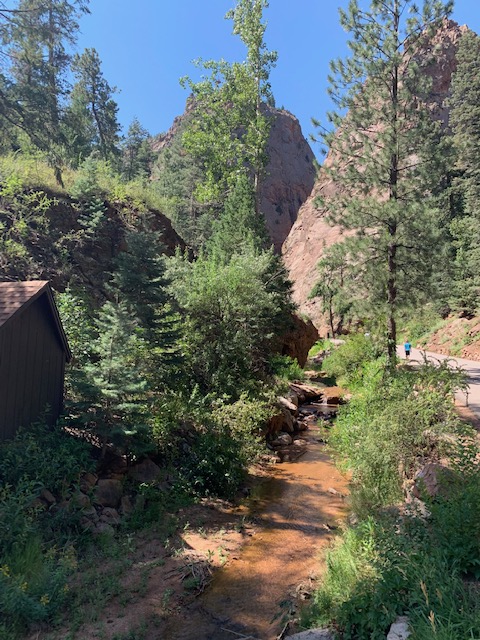
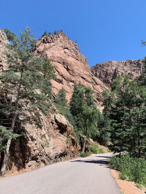
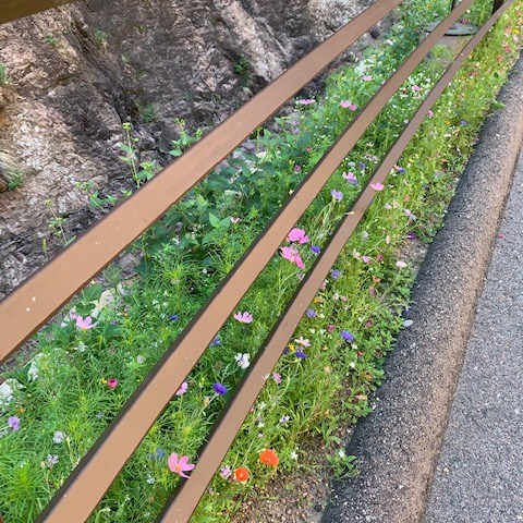
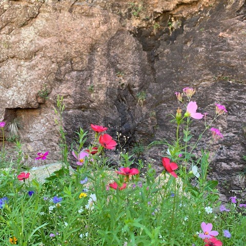
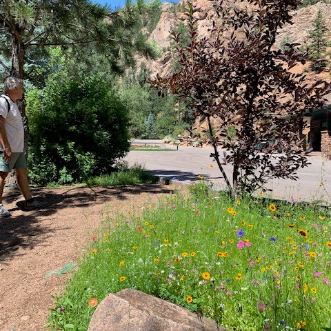
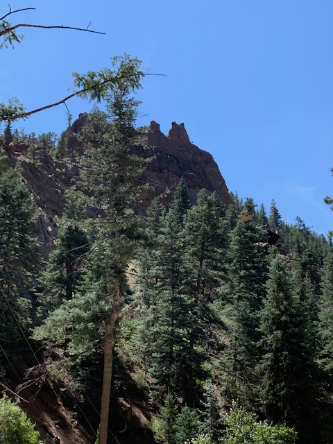
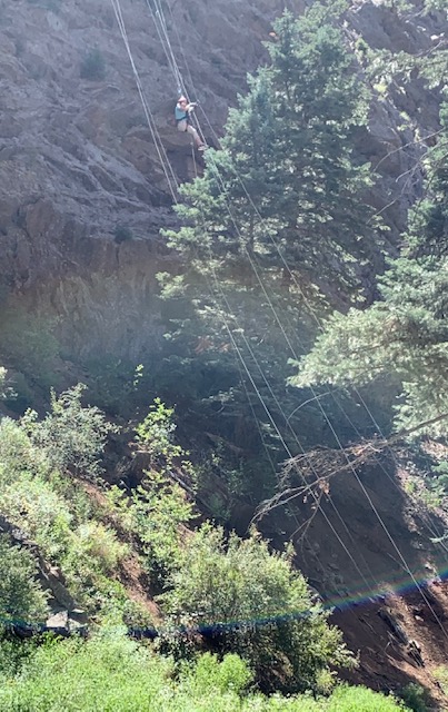
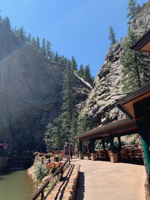
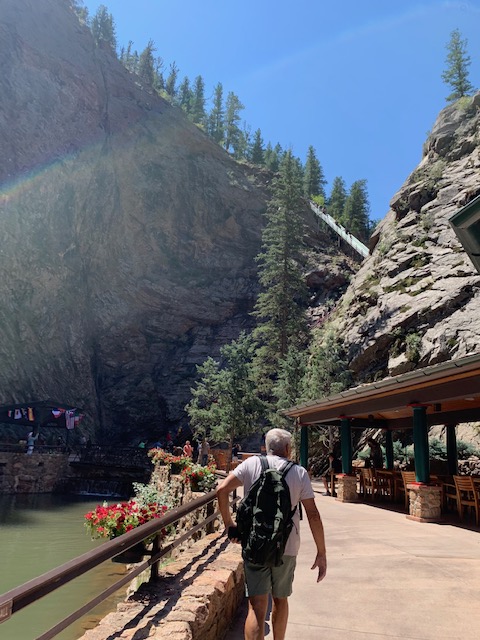
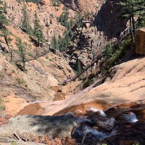
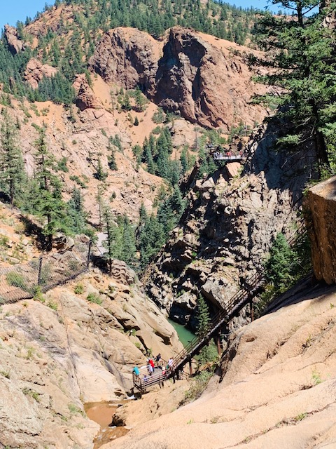
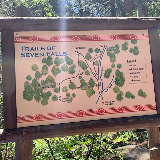
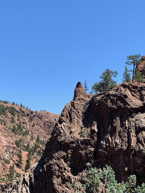
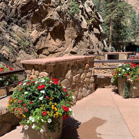
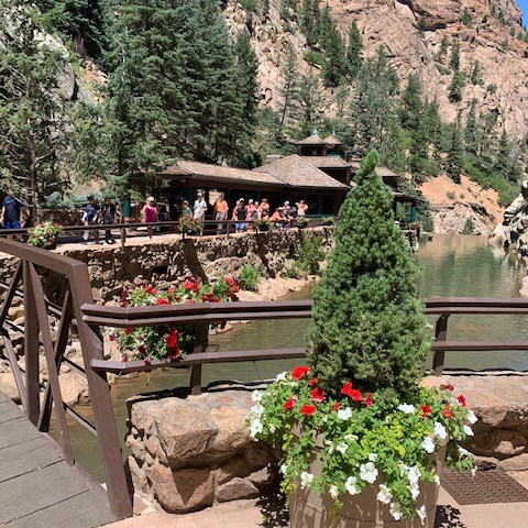
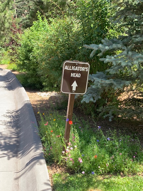
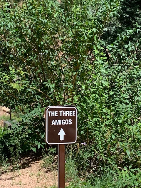
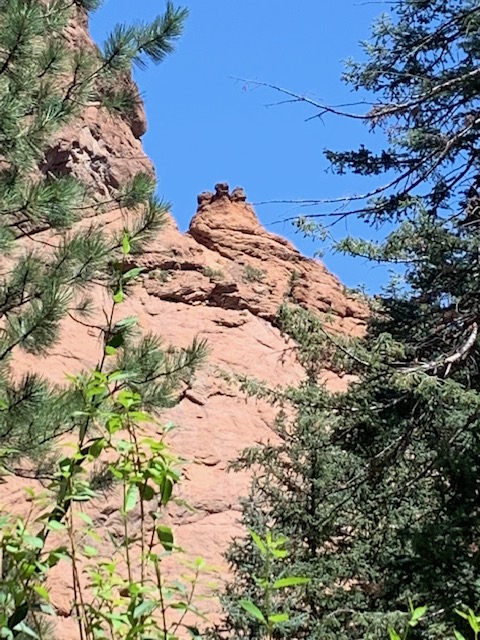
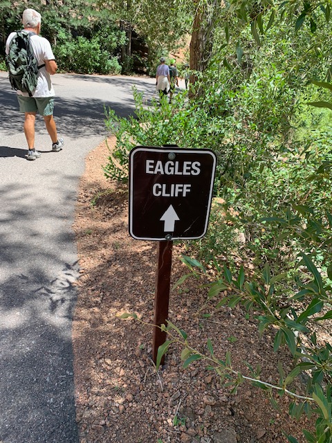
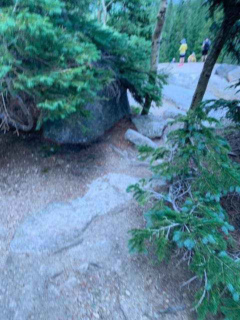
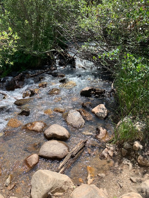
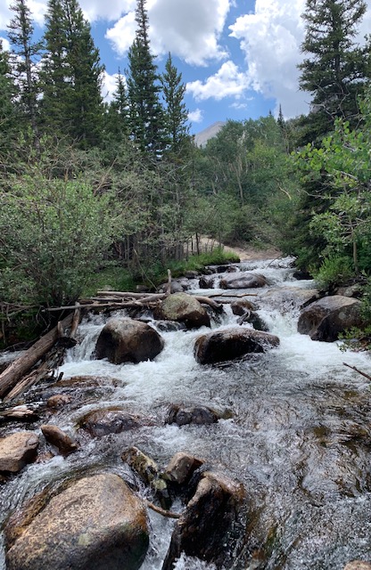
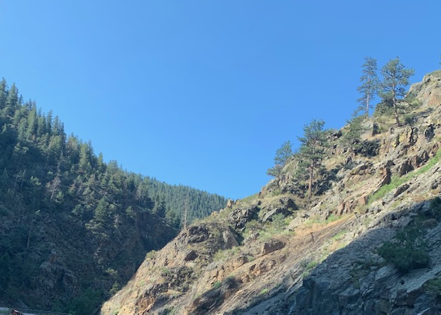
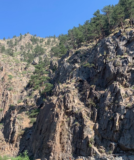
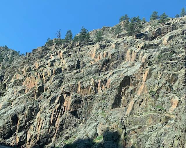
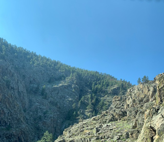
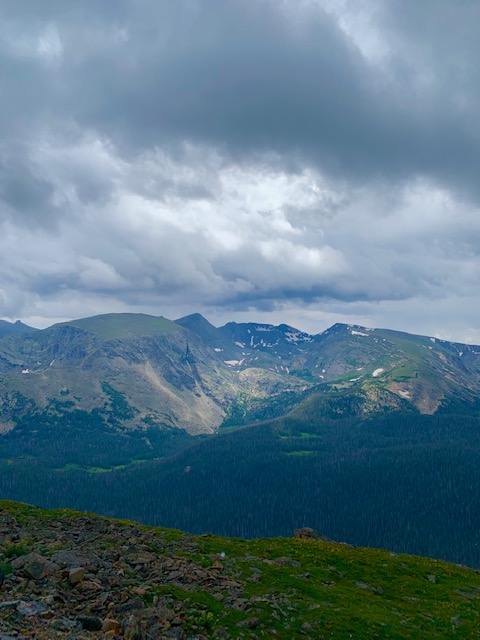
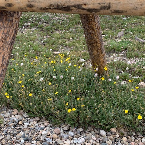
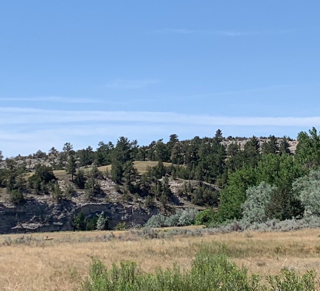
The hike to the Falls is a paved canyon trail it’s about a mile to get to the tiered waterfall. Along the way we saw stunning views of the Cheyenne Canyon and it’s incredible rock formations, along with beautiful wild flowers along the way. In the last picture you can see that you can also take a zip-line across the park.
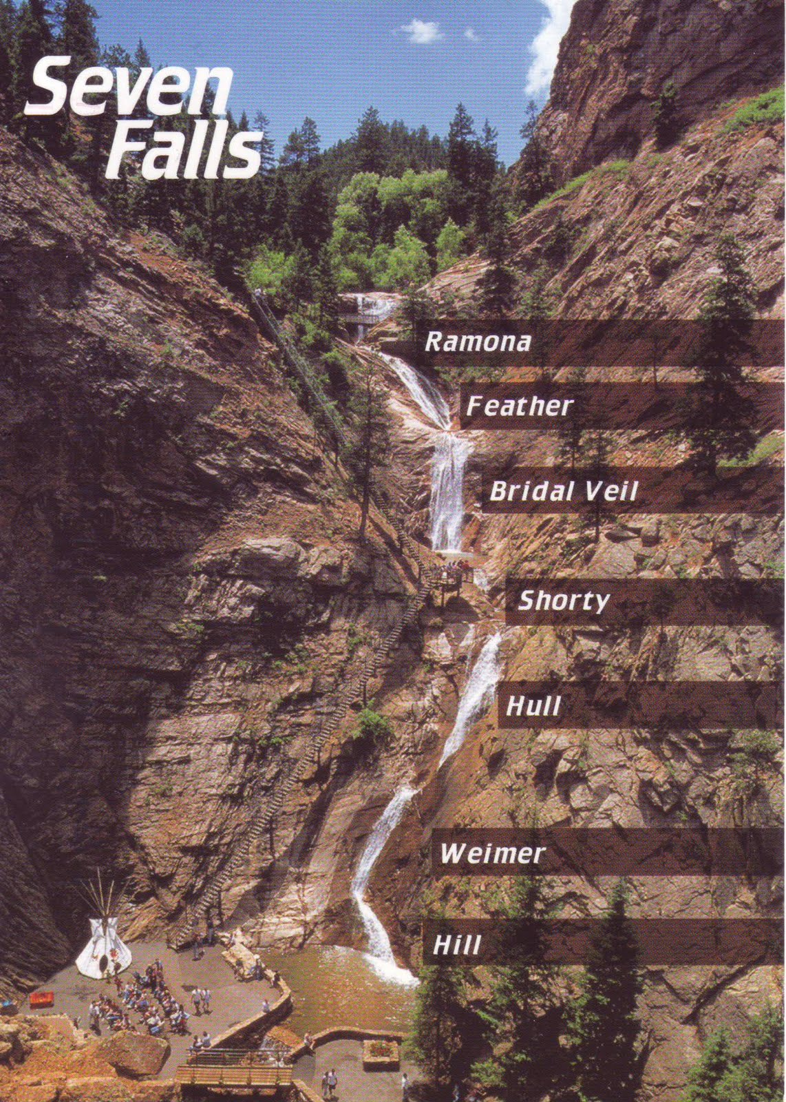
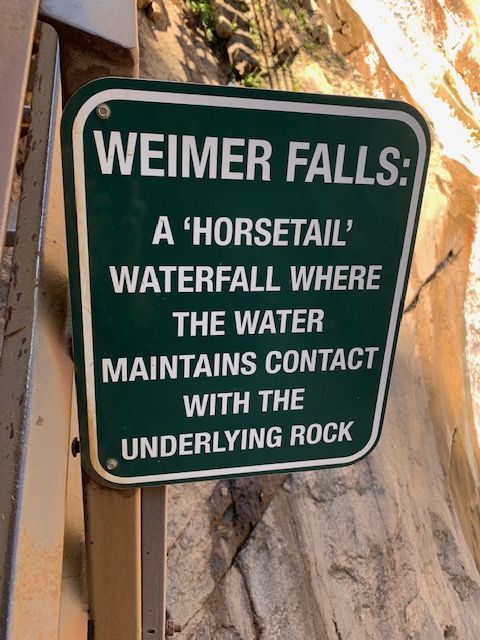
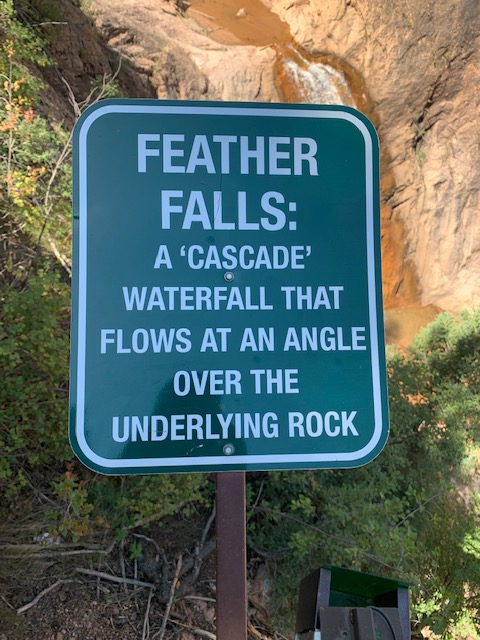
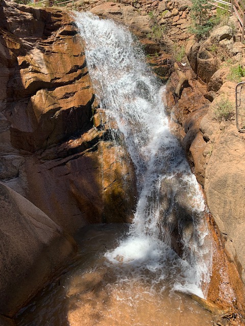
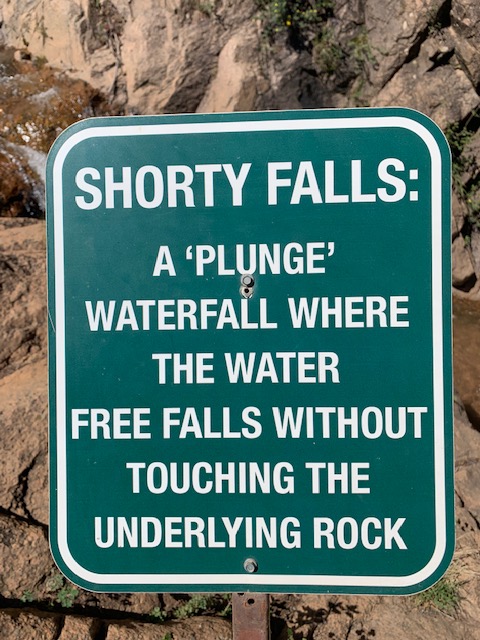
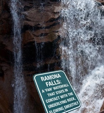
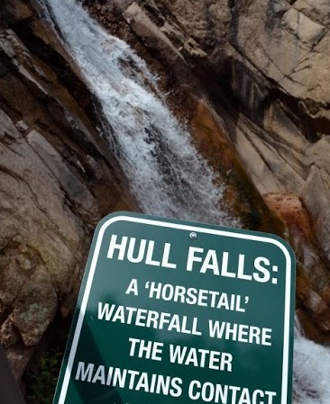
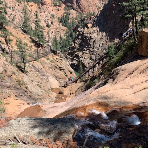
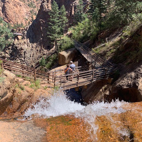
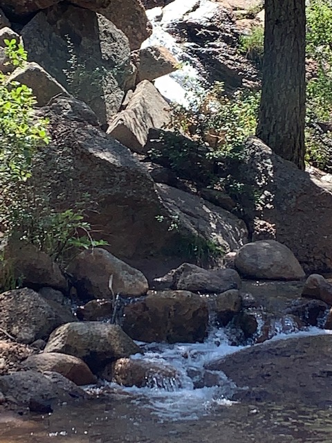
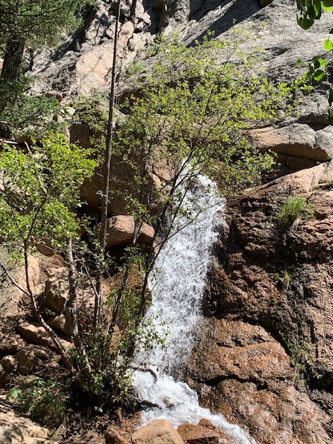
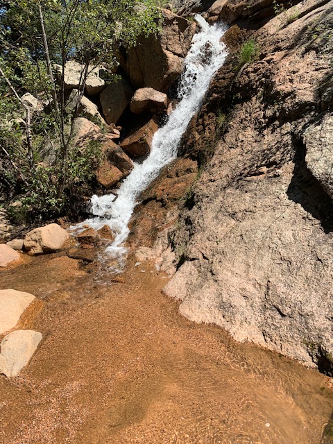
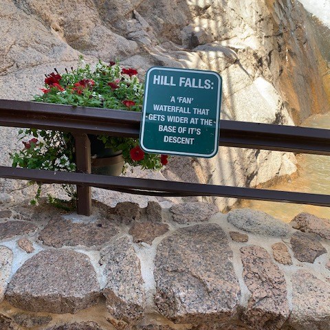
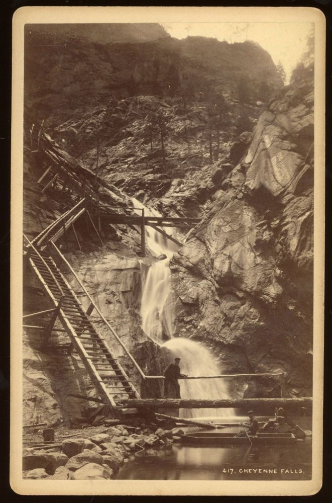
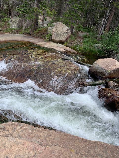
What you see is Seven Falls, a magnificent series of cascading waterfalls located in a 1,400-foot-wall box canyon. Each of the falls have names :Ramona Falls, Feather Falls, Bridal Veil Falls, Shorty Falls, Hull Falls, Weimer Falls, and Hill Falls.
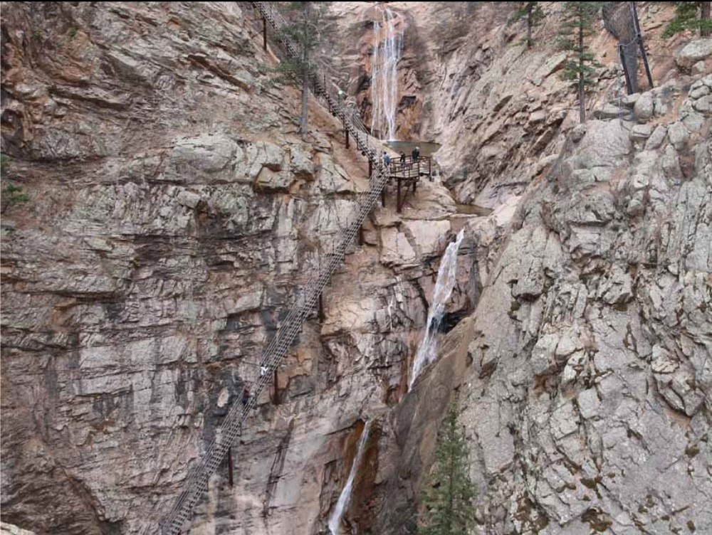
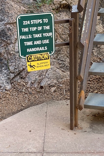
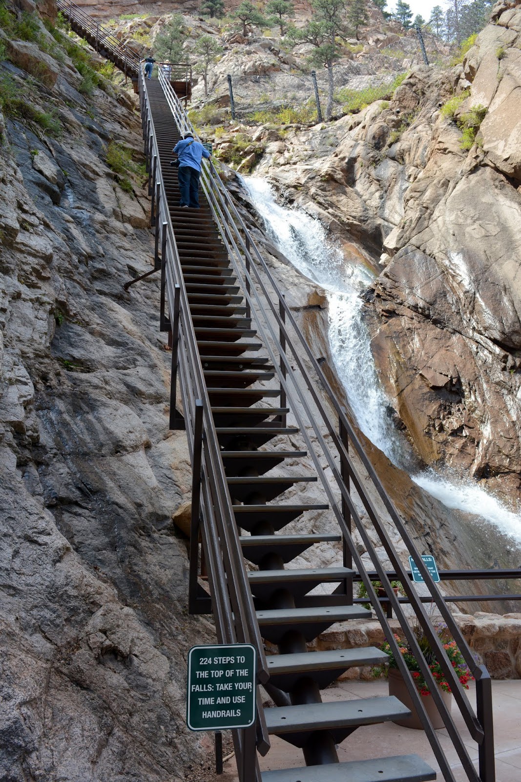
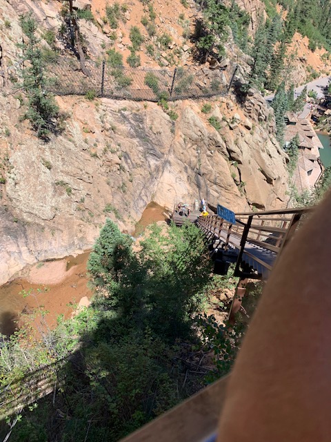
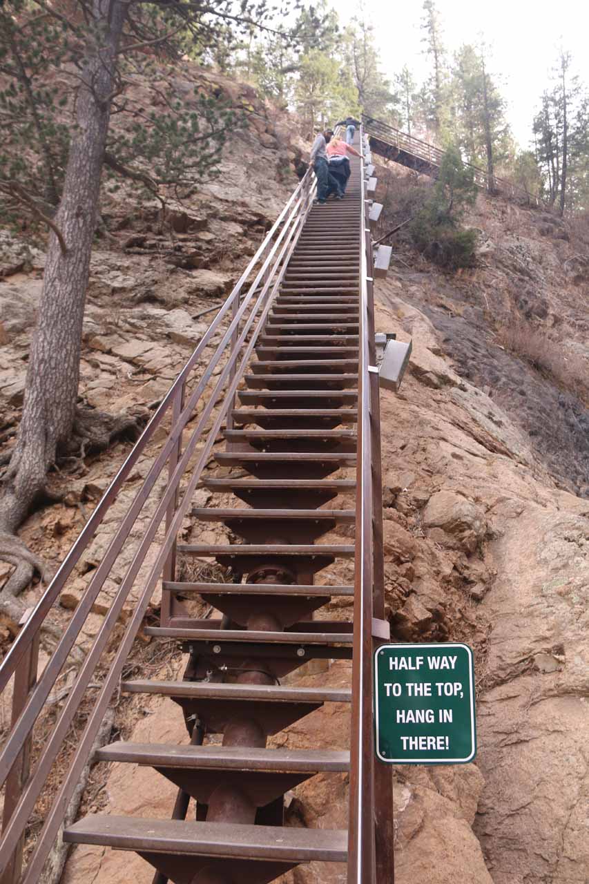
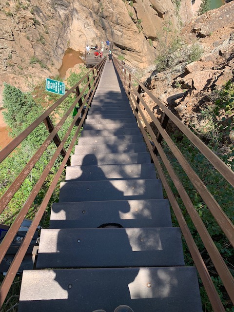
To get to the top of the falls you have to climb all these stairs, oh what the heck.
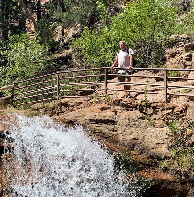
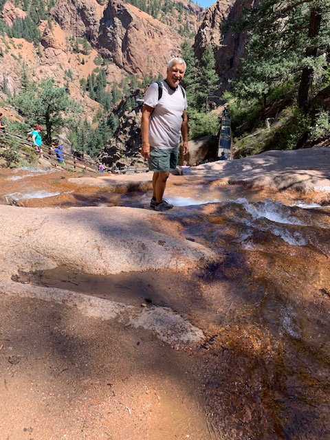
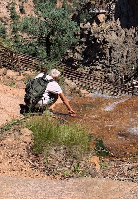
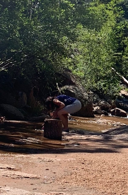
When we reached the top we put our hands in the falls.
There is also trails above the falls to take.
On the way back down
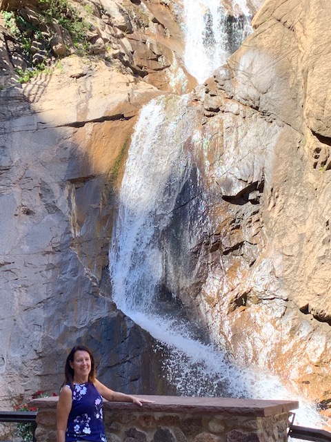
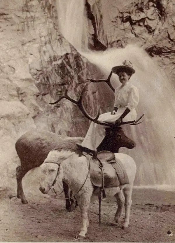
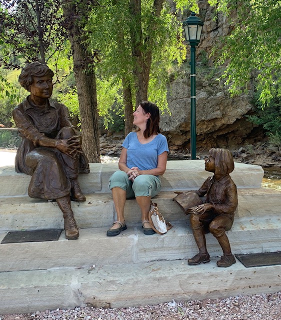
Seven Falls would pass through many more hands over the decades, but, fortunately, each owner saw the value in protecting the falls. Before Seven Falls was officially known as Seven Falls, it was a simple chunk of land given to Nathan Colby in 1872 as part of the Homestead Act. His wife is in the picture above. While different owners would make new trails and add safety changes or other features to accommodate visitors to the waterfalls. One of the owner’s even added an elevator in the 1990s, It has been nature that has changed 7 falls. Floods had a huge impact on the falls and the visitor park. The first, in 1965, wiped the entire visitor park off the map and the second Seven Falls flood in 2013 re-shaped the park forever. Five days of powerful rain stuck area after two summers of tragic fires and long dry periods. The water running through Cheyenne Creek and surrounding streams was referred to as a “500-year flood” with water levels so catastrophic that it destroyed the visitor park and the road leading to Seven Falls. Trees were upended, pavement completely disappeared and mud covered the region. Despite the best efforts of the Walker family, who owned the land at the time, the park was forced to close for over two years until its ultimate sale to the Broadmoor Hotel just down the road. The Broadmoor are still the owner’s today, they own a beautiful resort just down the way.
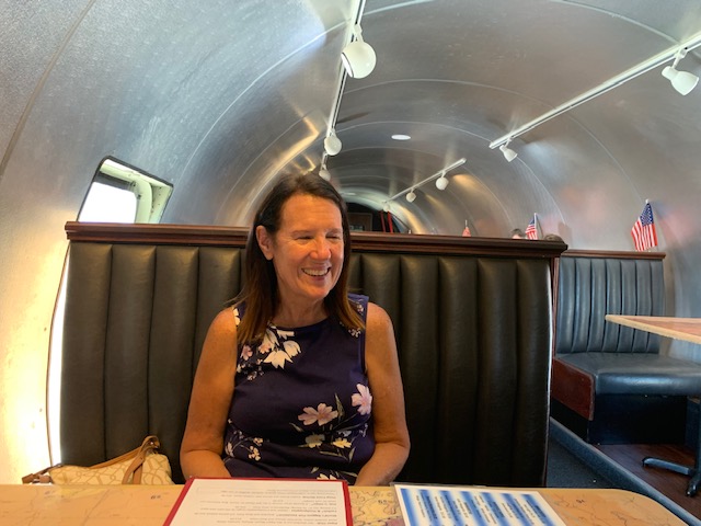
We then went to a very unique restaurant for dinner.
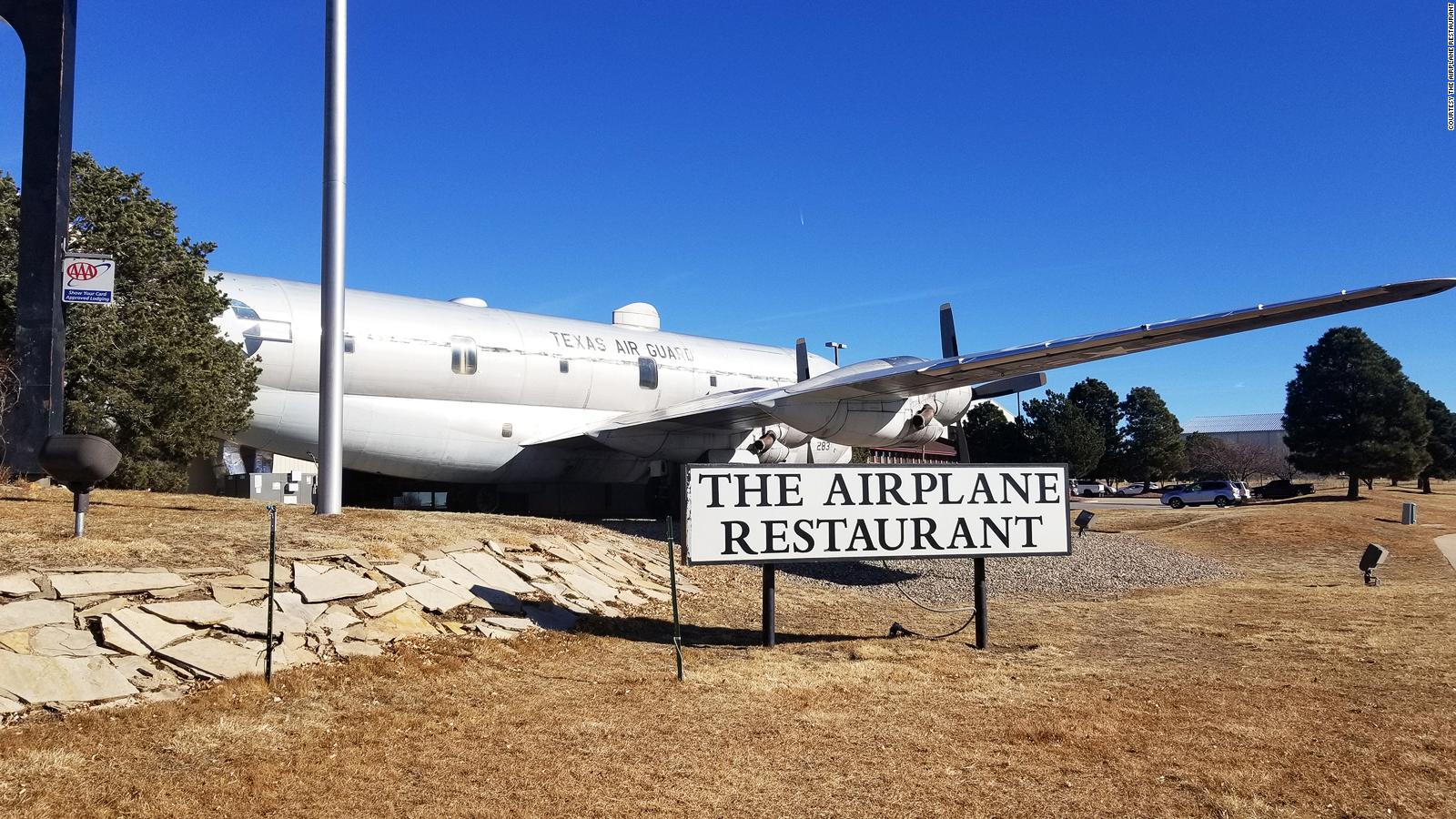
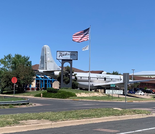
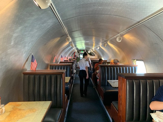
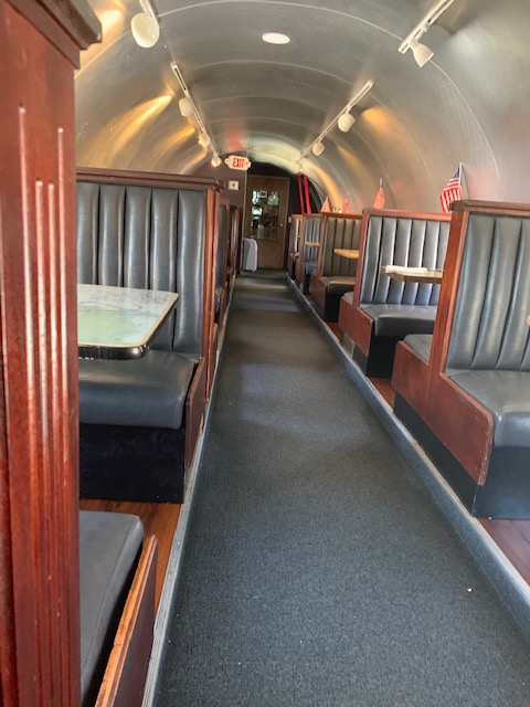
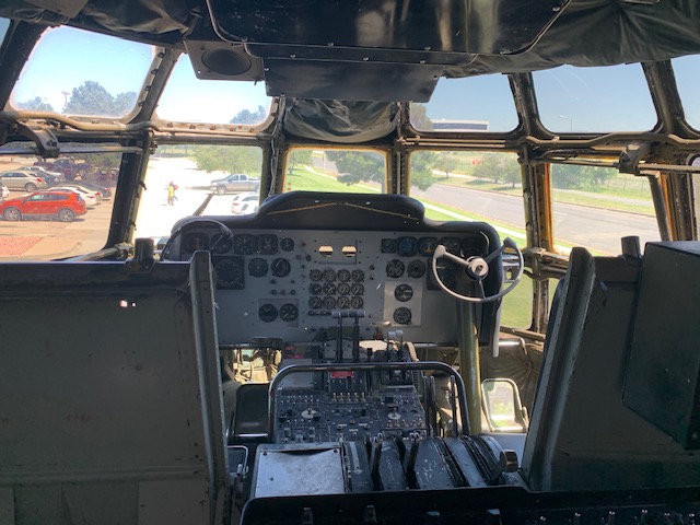
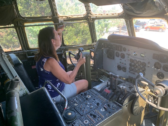
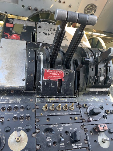
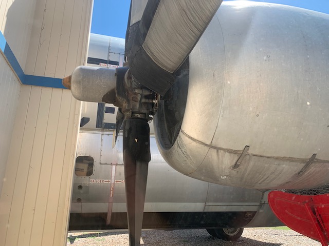
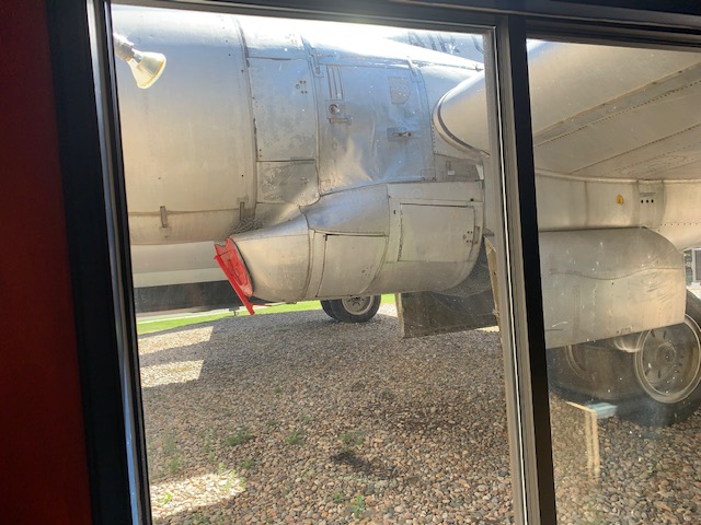
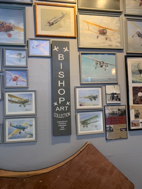
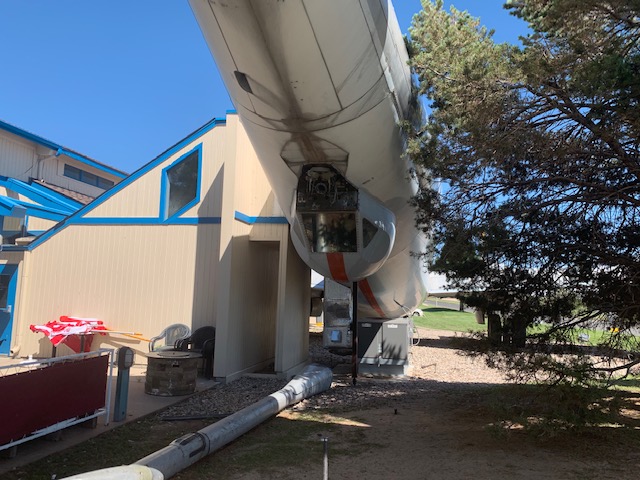
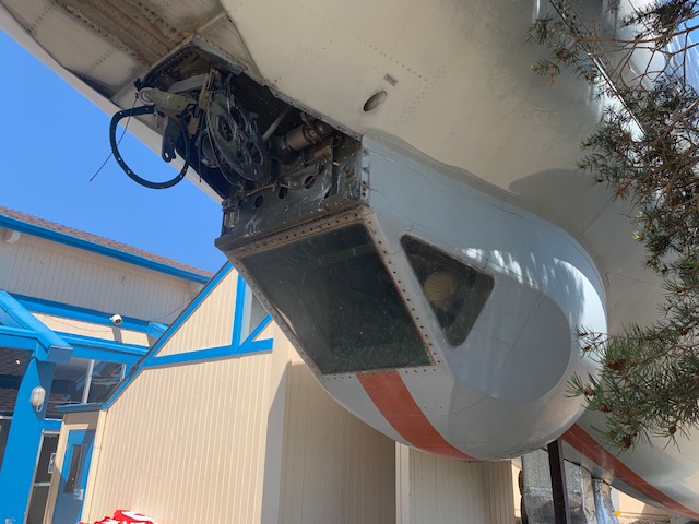
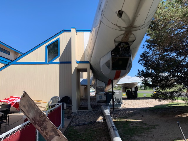
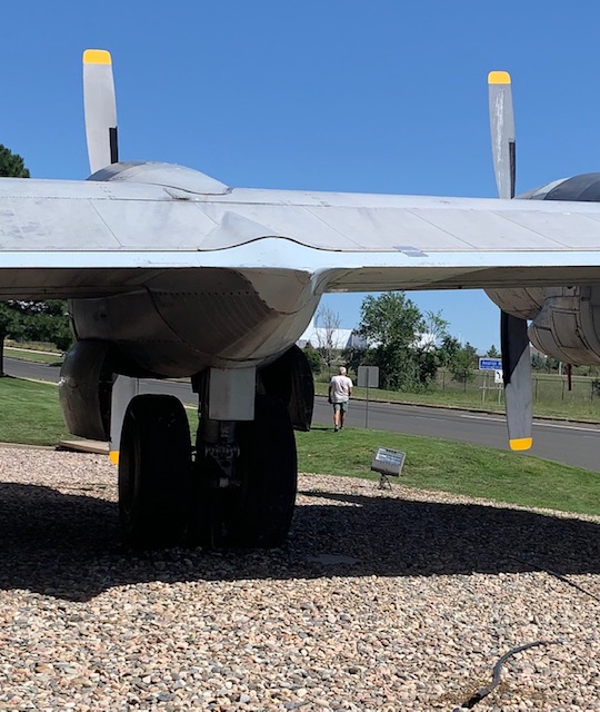
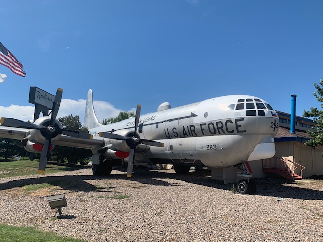
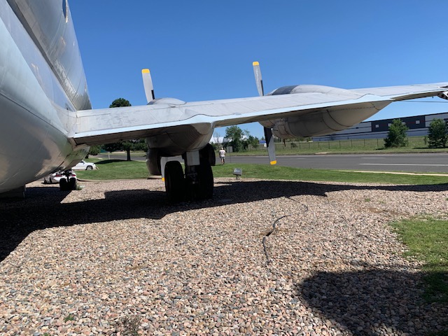
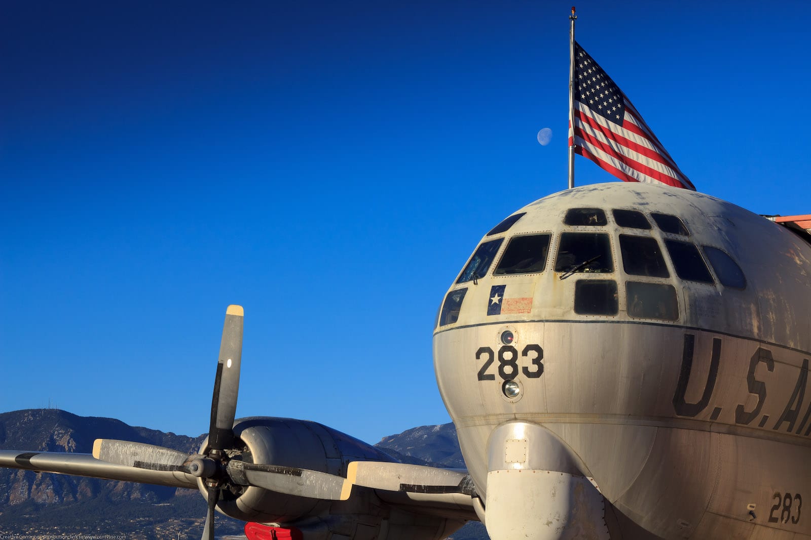
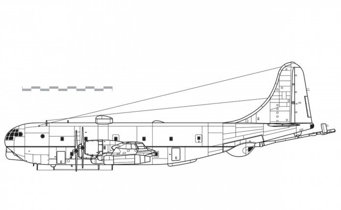
The Airplane Restaurant, opened in 2002, is literally a diner inside the middle of a restored KC-97 tanker.
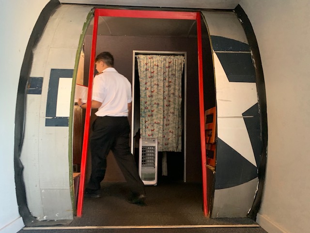
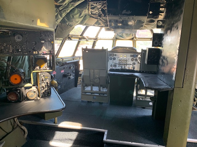
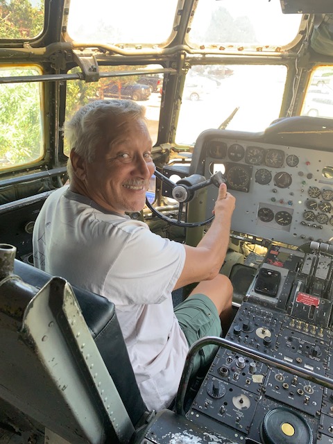
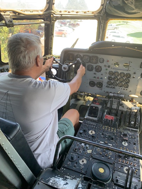
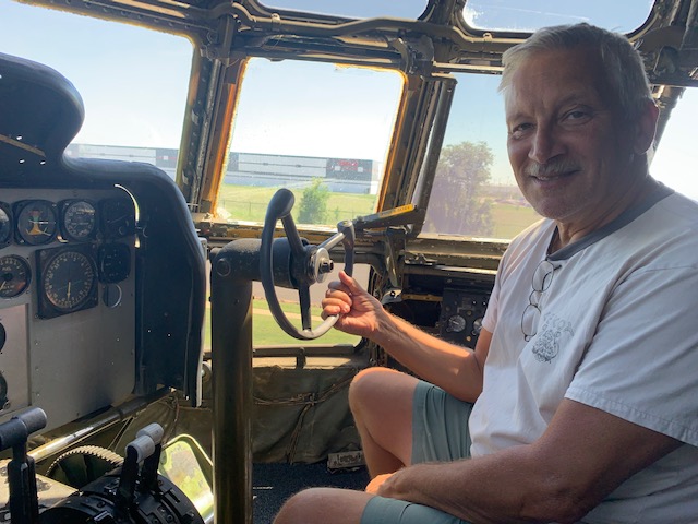
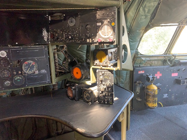
Forty-two passengers can actually eat in the plane so that’s where we went. You also got a chance to fly the plane, as you can see below.
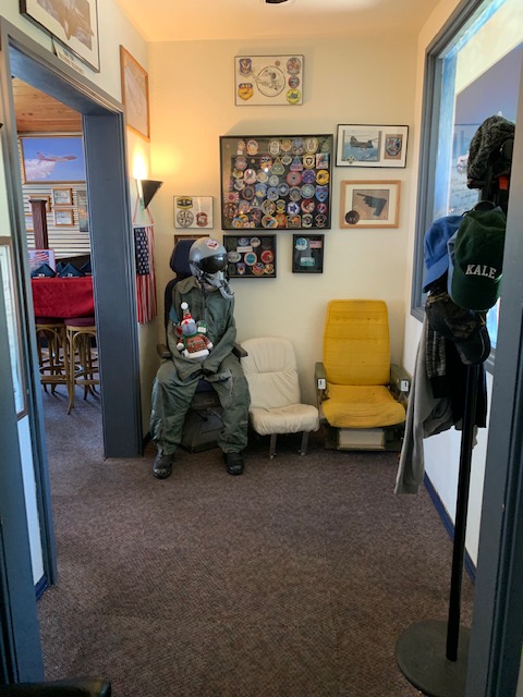
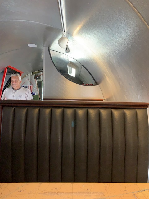
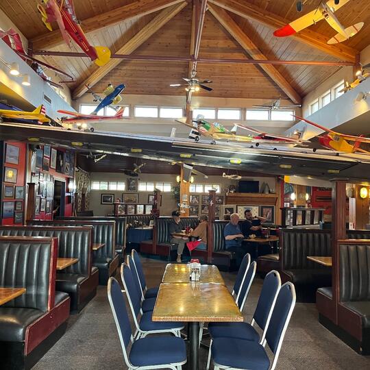
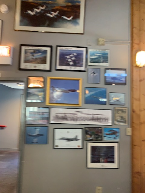
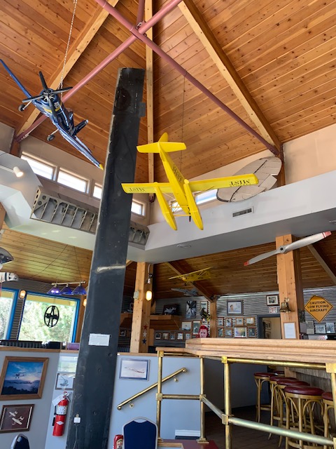
The rest of the restaurant that isn’t in the actual plane
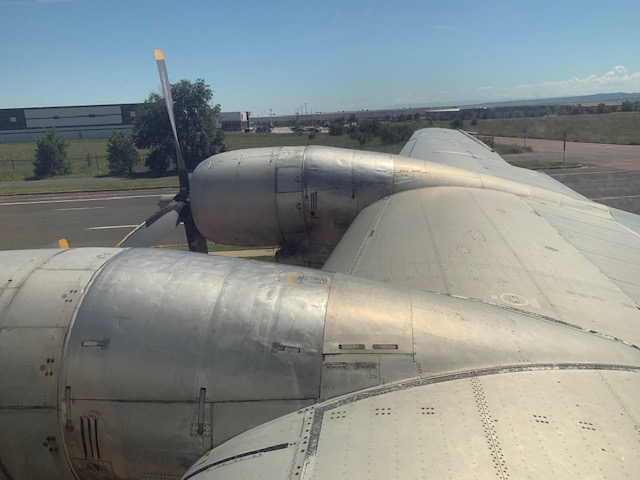
Built in 1953, this airplane was used for refueling aircraft all over the world. It was used by the U.S. Air Force for cargo and troop transport, as well. Almost lost at sea, it was safely returned and ended its career in the Texas Air Guard. The plane was later purchased by a couple, and in 2002 it was converted into a restaurant open to the public.
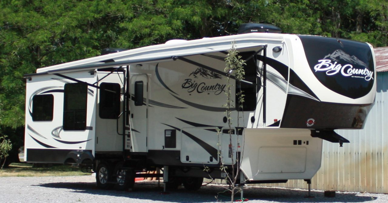
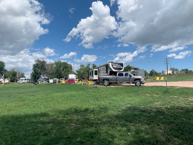
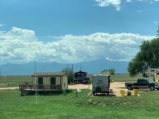
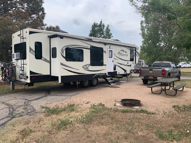
We are now at Falcon Meadows Rv campground in Colorado Springs Col. Drove 133 miles today from just above Denver in Fort Collins to just below Denver here in Colorado Springs. Traffic was HEAVY all the way. Elevation here is about 6000 feet, Here for two weeks.
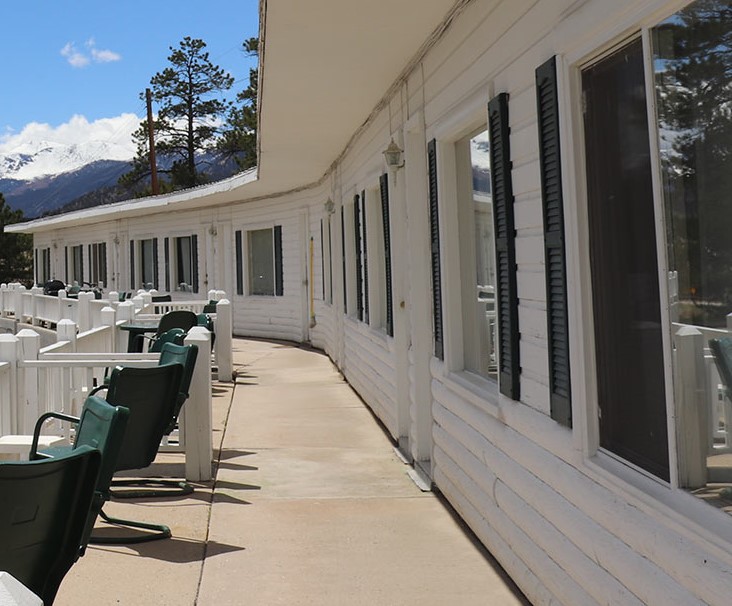
The last few days we have been exploring the Rocky Mountains. Because of the distance from Loveland where we are staying to Estes Park, which is the gateway to the National park, we rented a room for a few nights at the Olympus Motel, it was nice, clean and cheap which is what I like. Wednesday our first day in the park we had a timed entry for 9 am, then drove the 46 mile park road, at high altitude, no guardrails, to Grand Lake, a small resort town on the western side of the Rockies. spent some time there then drove the park road back to Estes park. The second day we had a timed entry for noon, and spent the day exploring the Bear lake area. Friday, we explored Estes park some and returned to Loveland in the afternoon. What a trip. It was an amazing time.
You notice I have said timed entry, you cannot get into the park without a timed entry permit. You have to get them online, and know exactly what days you want to go. Sixty days before hand you can reserve the tickets from the parks web site, for the days you want, if they have not already all been taken by about five after eight in the morning. They have eight different times during the day, with about three hundred tickets per time slot, that you can reserve. Thus the reason we arrived at noon the second day.
That was Dave telling about our adventures in the park, now I get to add the pictures! One thing I love about walking through the park is the wonderful smell of the pine trees along with the fresh air.
Oh before I forget, Come on sing along with me . . . . .
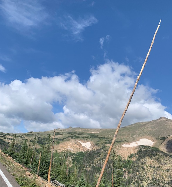
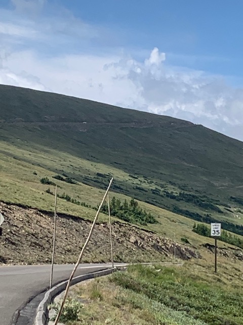
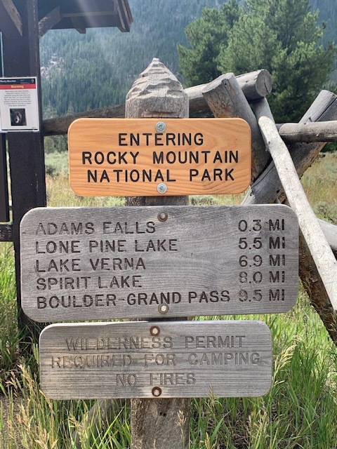
As Dave mentioned we drove through the park to see Adams Falls, along the way, especially where there are no guard rails, the park has these poles in different places to help the snowplows stay on the road as the snow gets to high levels. I wouldn’t want that job.
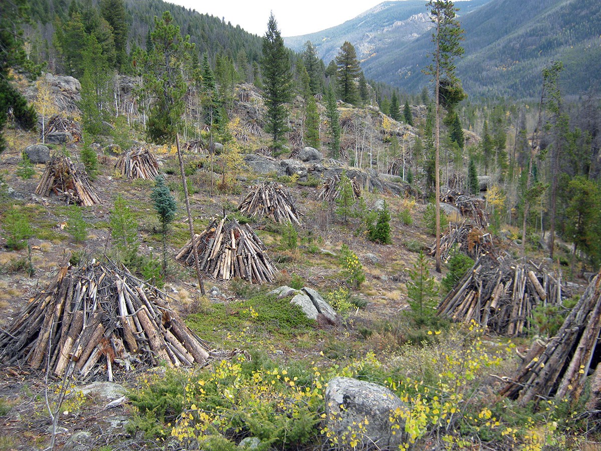
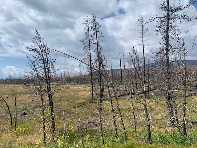
There was a fire in the park in October 2020 and approximately 30,000 acres, or 10 percent of the park, was impacted by the fire, a couple years later and this is how it looks. Based on evidence gathered at the fire’s origin, investigators have determined the fire to be human caused.
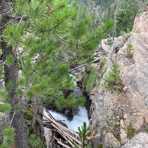
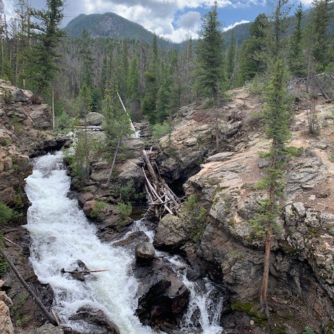
Drove through the park and arrived at Adams Falls
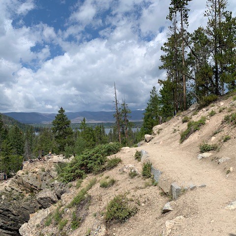
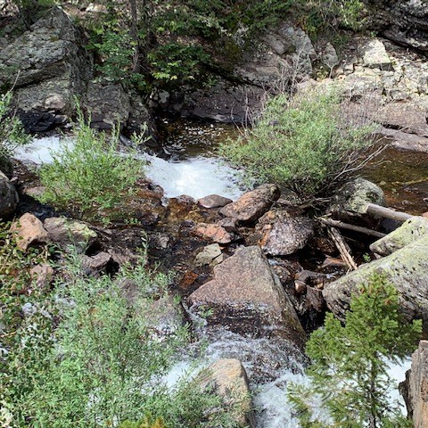
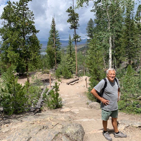
The hike to Adams Falls was fairly short and definitely worth it.
Stopped in the Visitor Center and off we went.
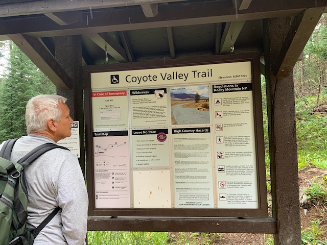
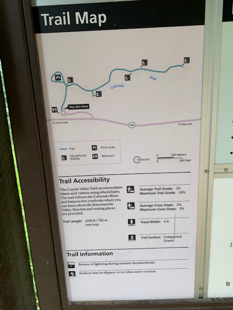
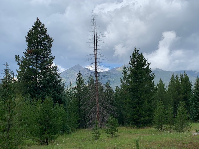
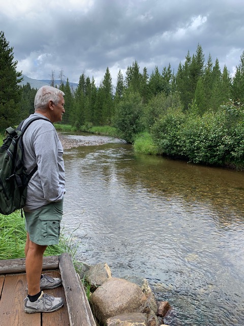
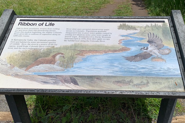
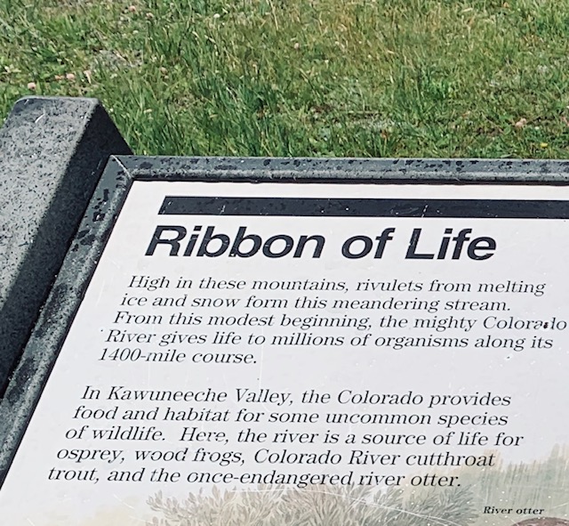
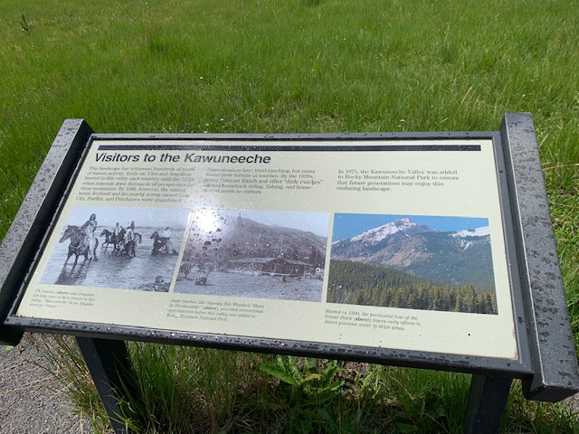
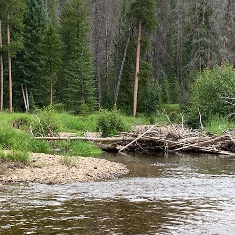
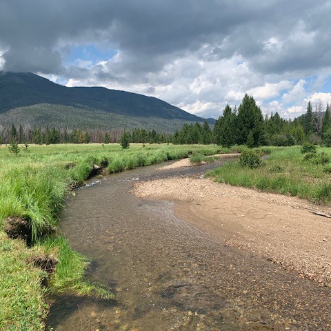
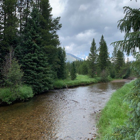
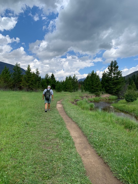
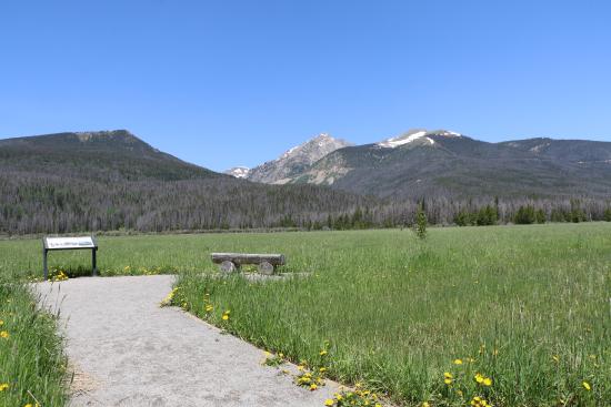
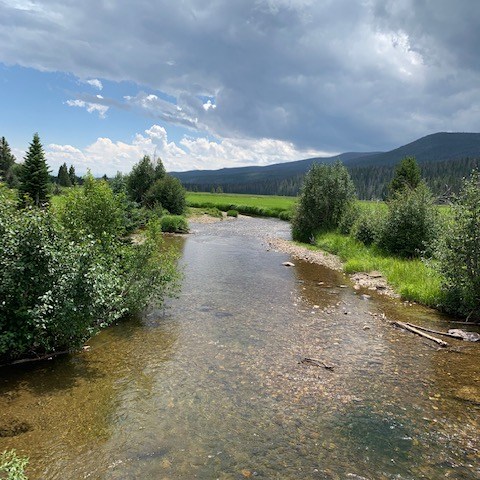
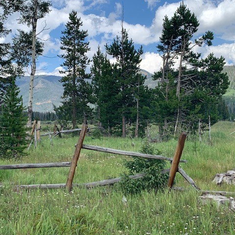
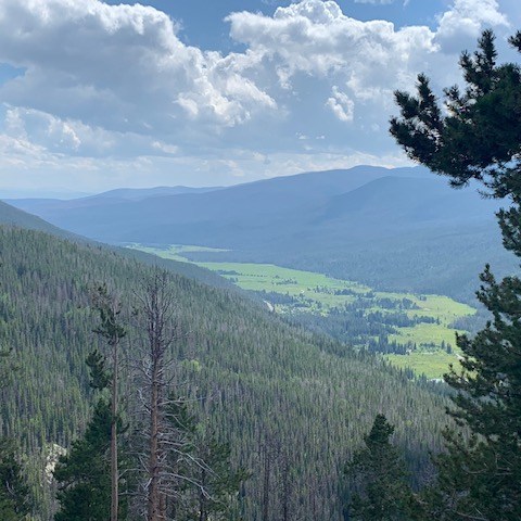
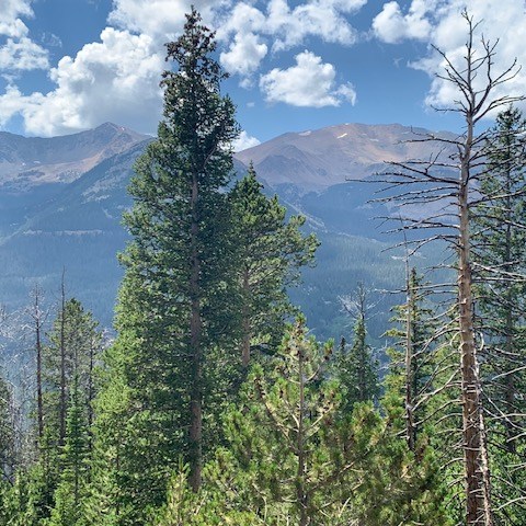
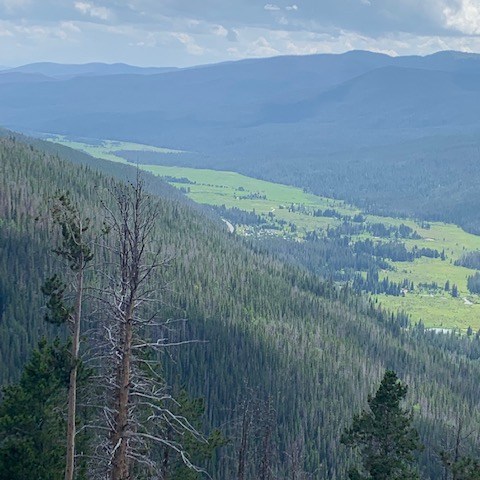
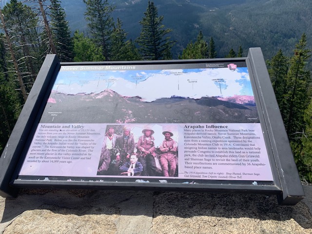
The trail meanders along the start of the mighty Colorado River, though it’s still little more than a mountain stream in the Kawuneeche Valley. It has beautiful views of the Colorado River, the Kawuneeche Valley meadows and the snow-capped Never Summer Mountain Range in the distance.
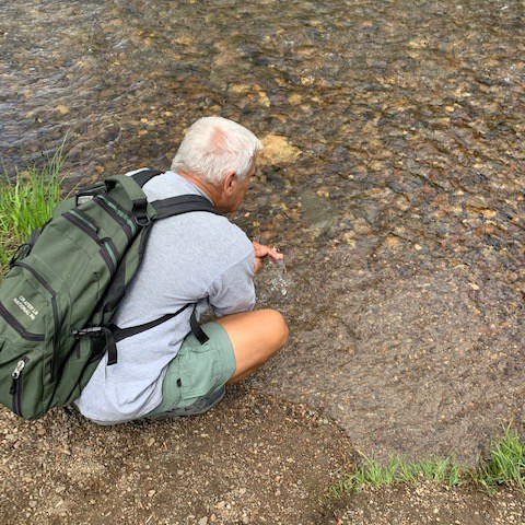
We both put our hands in The Mighty Colorado River. Since we were at the beginnings of the river it felt like the thing to do!
🎶You gotta keep singing with me. 🎵
Our next stop
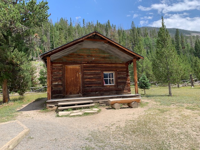
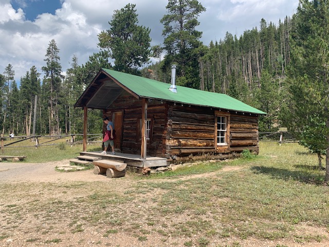
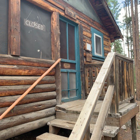
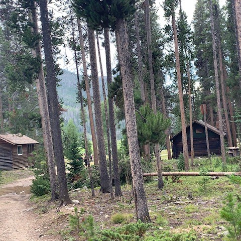
On the beginning of the trail is this miner’s cabin, one of the oldest buildings left standing in the Kawuneeche Valley. In 1902, Joseph Fleshuts homesteaded 160 acres here with the intent to live on the land for at least five years. Life must have been hard. In 1911 he abruptly he abandoned his cabin—and was not heard from again.
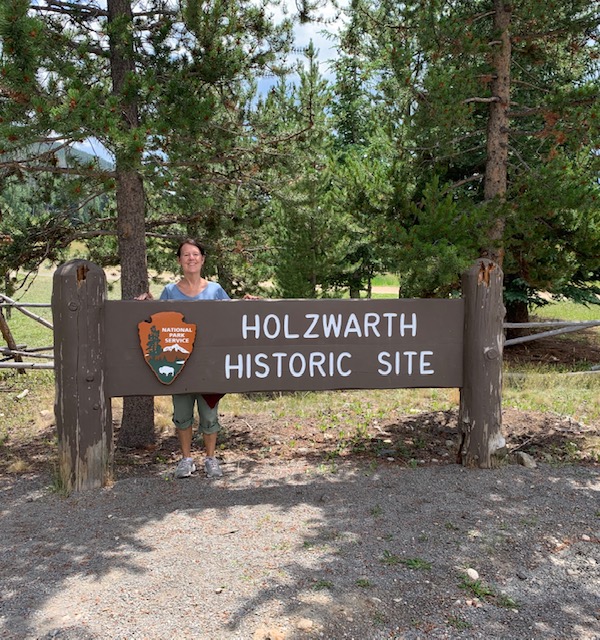
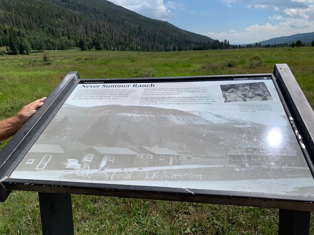
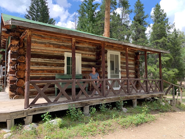
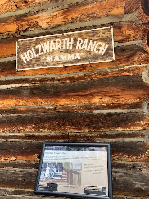
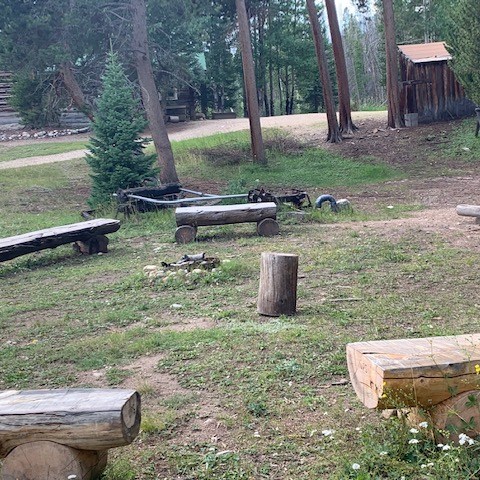
Further down the path is one of the Kawuneeche Valley’s first dude ranches once thrived here. In 1917, German immigrants Sophia and John G. Holzwarth built their homestead here, after wartime prohibition closed their saloon in Denver. Originally ranchers, they began hosting friends from the city at their “Holzwarth Trout Lodge” in the 1920s.
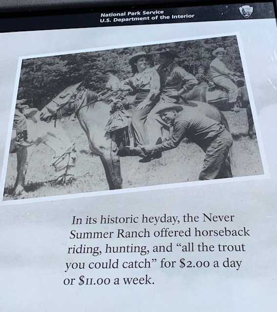
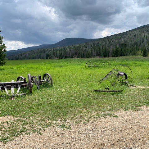
The Never Summer Ranch, as it was later known, offered fishing, hunting, and horseback rides. Guest stayed in rustic cabins or a lodge that once stood in the meadow before you. In 1975, Never Summer Ranch and Holzwarth Homestead became part of Rocky Mountain National Park. Although the newer buildings were removed to restore the meadow, this dirt road leads to the Holzwarth’s or original homestead buildings.
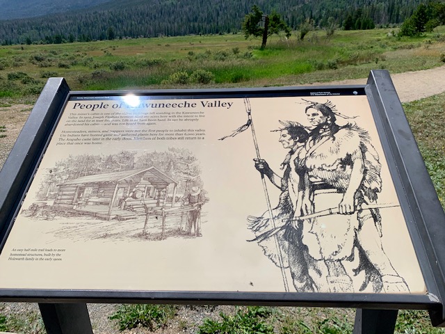
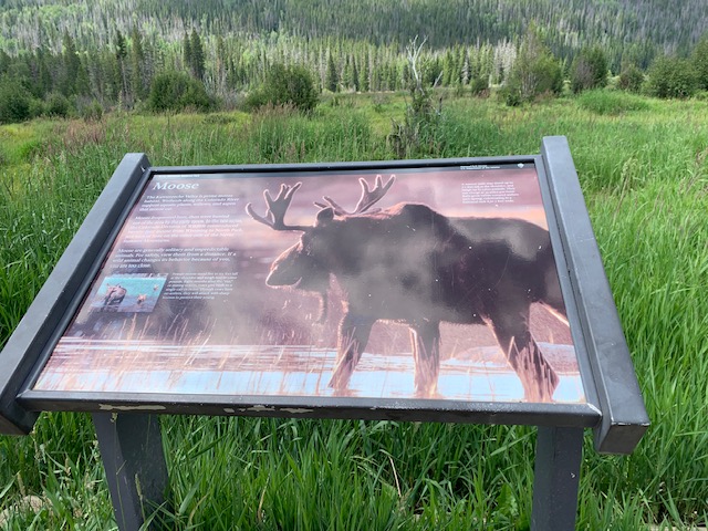
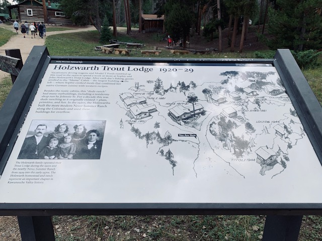
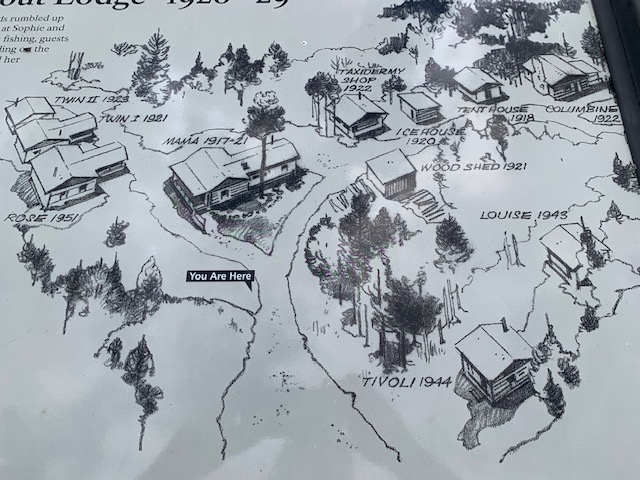
The Kawuneeche Valley is prime moose habitat. We didn’t see any, the closest we got to one is this picture. Vacationers driving wagons and Model T Ford’s rumbled up this road in the 1920s to spend a week or more at Sophie and John Holzswarth’s Trout Lodge. After each day’s fishing, guests strolled to the “Mama” Cabin-the largest building to the left where Sophie cooked meals that combined her native German cuisine with western recipes.
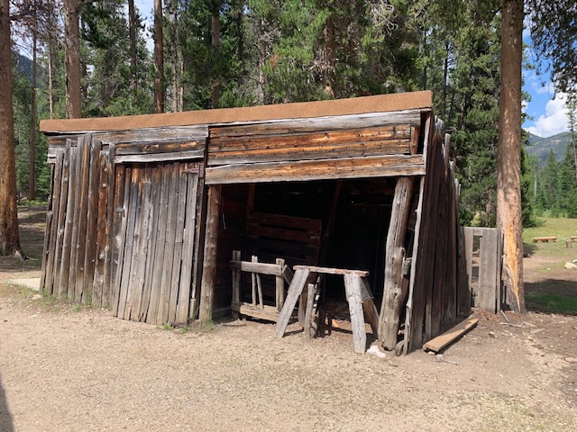
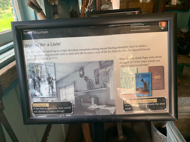
Besides the rustic cabins, this “dude ranch” had many outbuildings, including a taxidermy shop run by Johnny Sr. for a decade this was due to ranching as it originally existed-plain, primitive, and fun. In the 1920s the Holzwarths built the more modern Never Summer Ranch along the Colorado river and use these buildings for overflow.
Our next hike . . .
To see the valley we were just at and hike the Milner Pass.
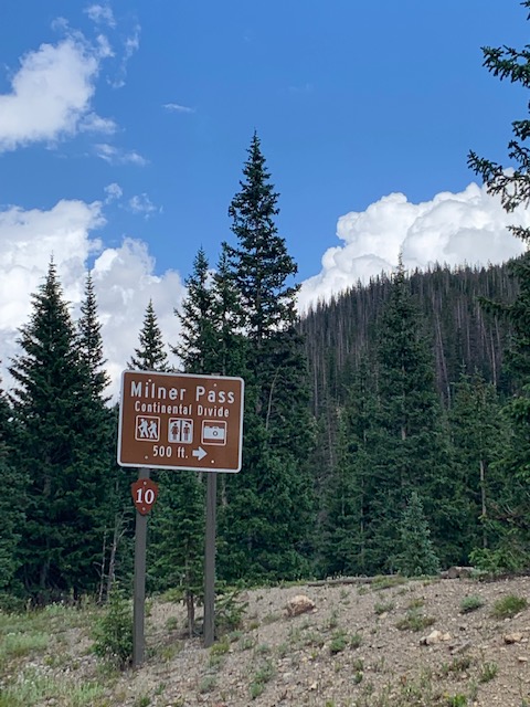
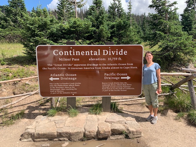
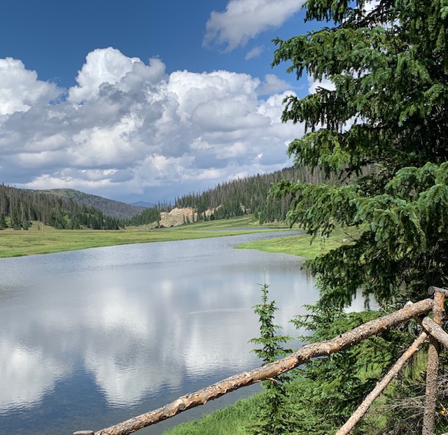
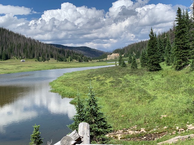
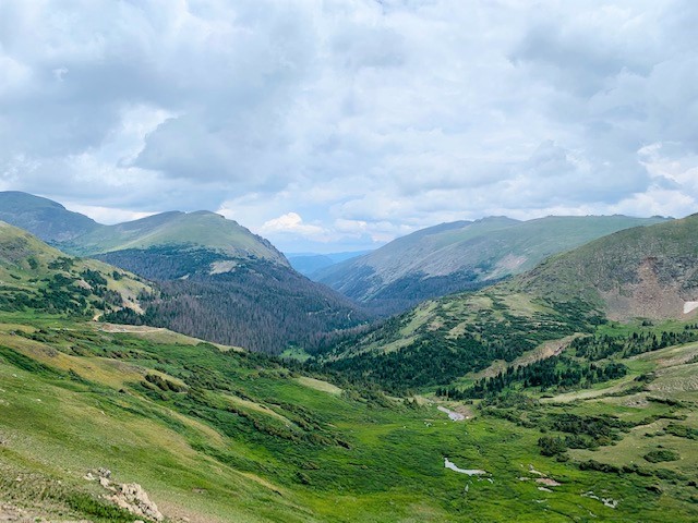
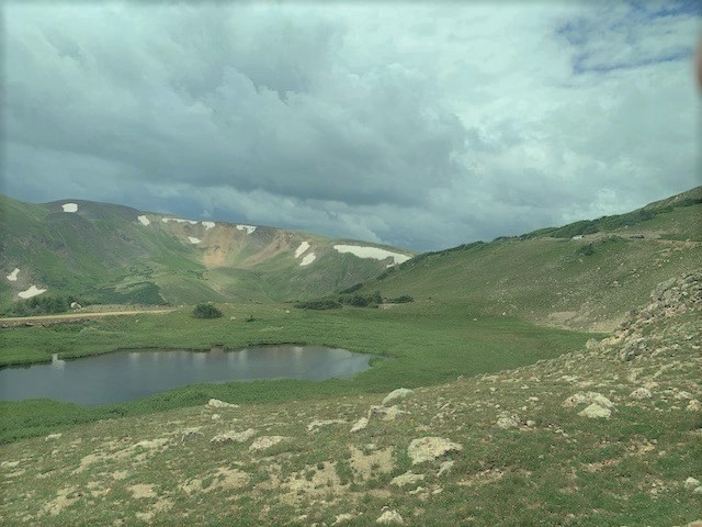
At 10,759 feet, this mountain pass has exceptional views of Poudre Lake, and is located on the continental divide!
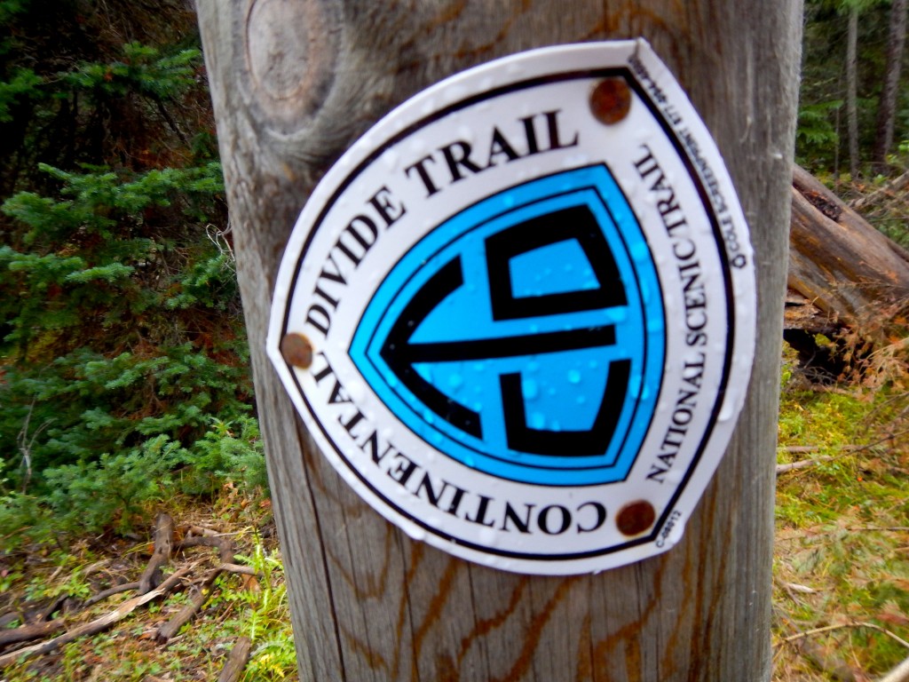
The divide traverses the Americas from Alaska to Cape Horn in Chile. As it rains on the divide, the future course of a drop of water depends on a matter of feet. All water east of this pass will flow towards the Atlantic Ocean while all water on the west side will flow towards the Pacific Ocean.
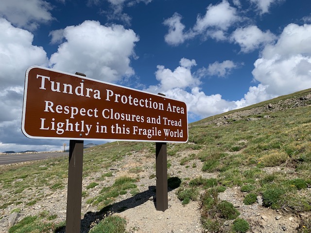
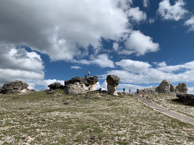
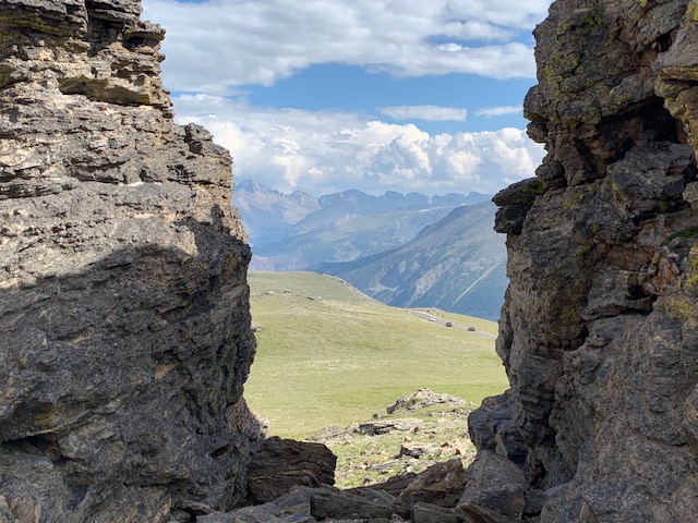
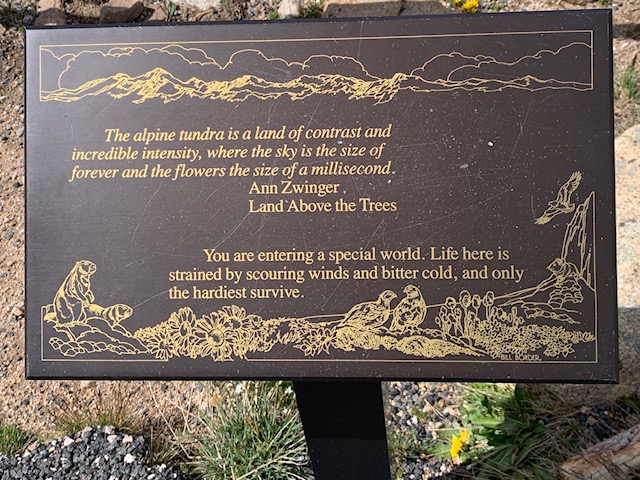
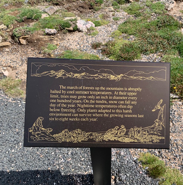
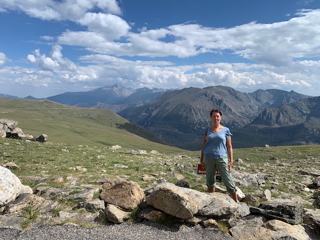
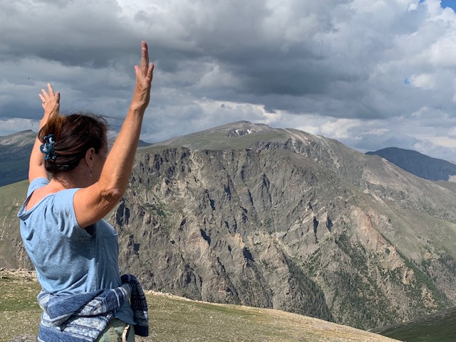
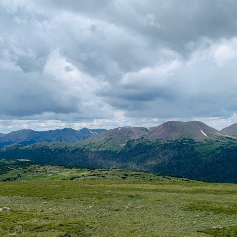
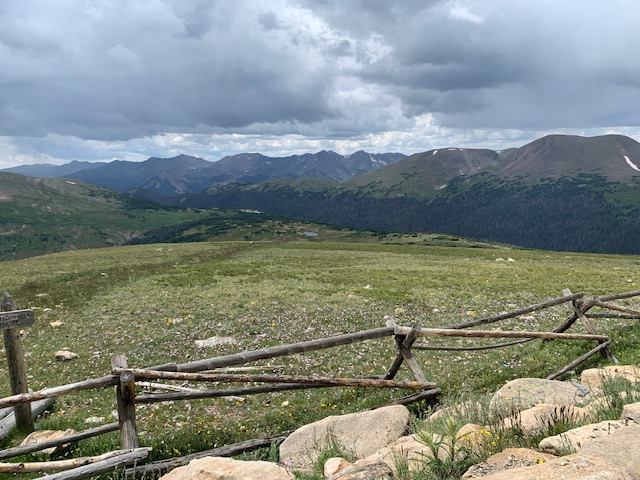
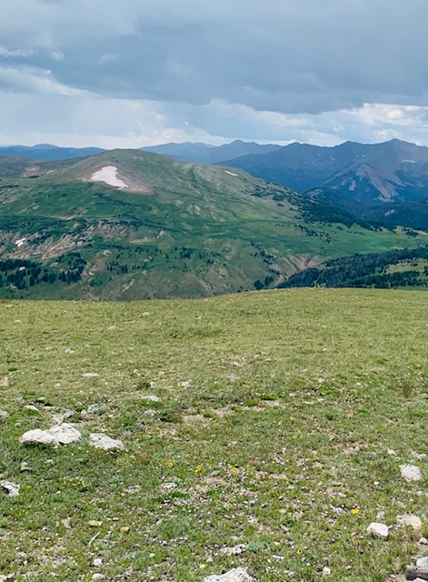
It starts as a paved trail and has 360 degree views of the tundra and Rocky Mountains. We were over 12,000ft in elevation so we felt kinda winded and it was chilly being up that high in the tundra, but it was totally awesome!
Back at the hotel where we staying, thinking about all the astonishing and amazing things we’ve seen today!
Time to awaken and start another grand day in the park.
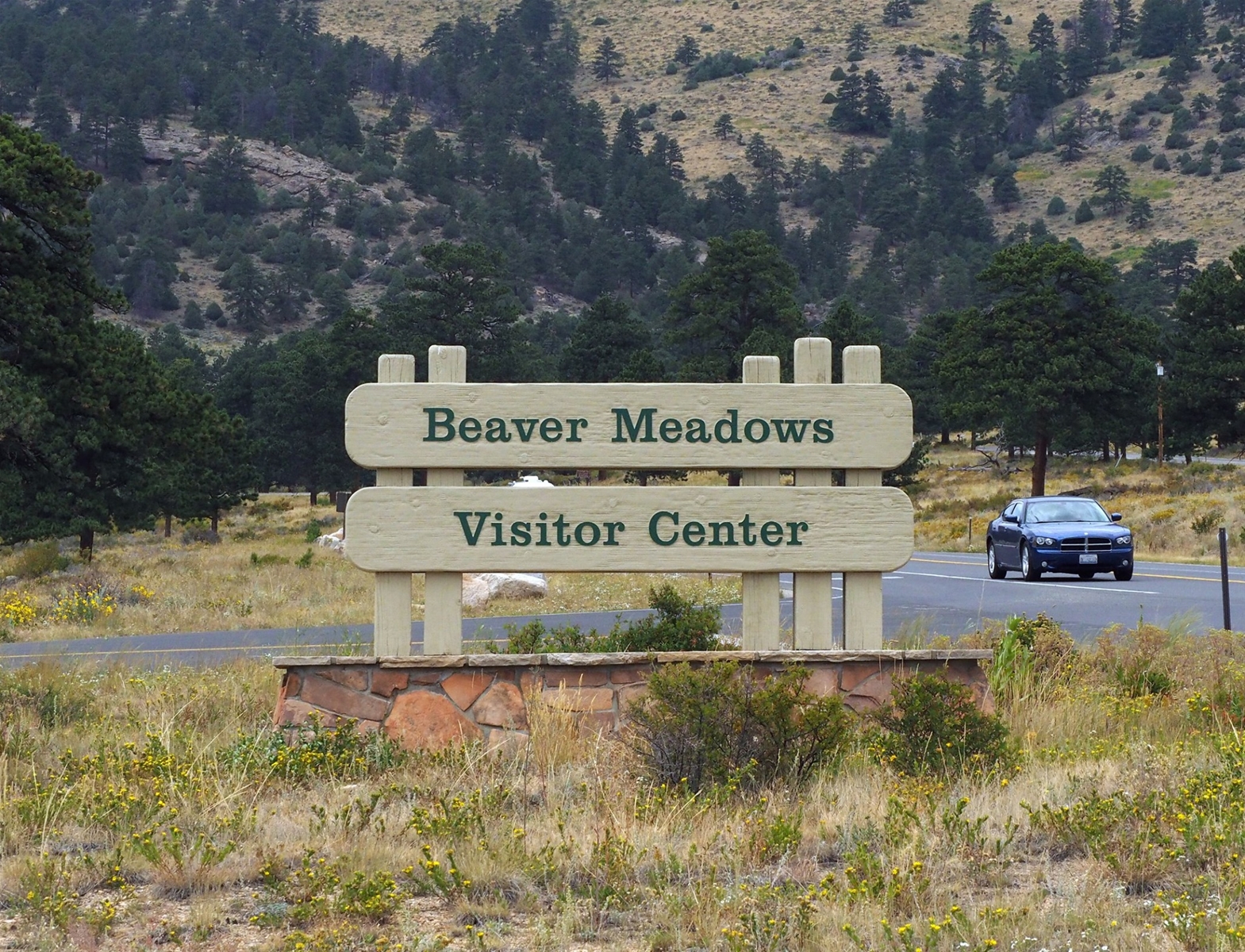
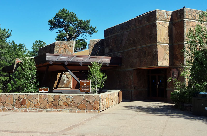
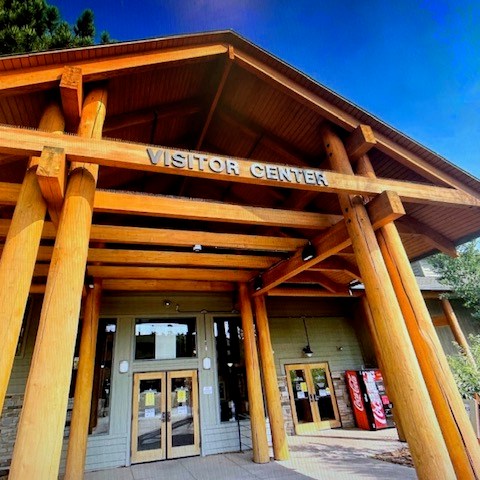
Our first stop was Beaver Meadows Visitor Center.
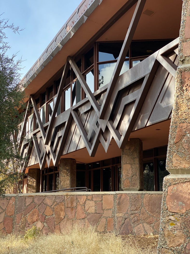
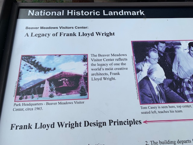
The Beaver Meadows Visitor Center is a National Historic Landmark because it reflects the legacy of one the world’s most creative architects, Frank Lloyd Wright.
After Wright’s death the firm he founded, Taliesin Architects, designed the Visitor Center. Architect Thomas Casey, who designed the visitor center, was apprenticed to Wright. Casey incorporated many of Wright’s design principals into its creation. Today, the building is a National Historic Landmark in recognition of its unique contribution to architecture in the National Park Service.
Frank Lloyd Wright Design Principles 1. The building blends with the natural setting. 2. The building departs from traditional “box” architecture. 3. Materials are chosen for their weathering effects over time.
I almost forget . . . Sing along with me . . .
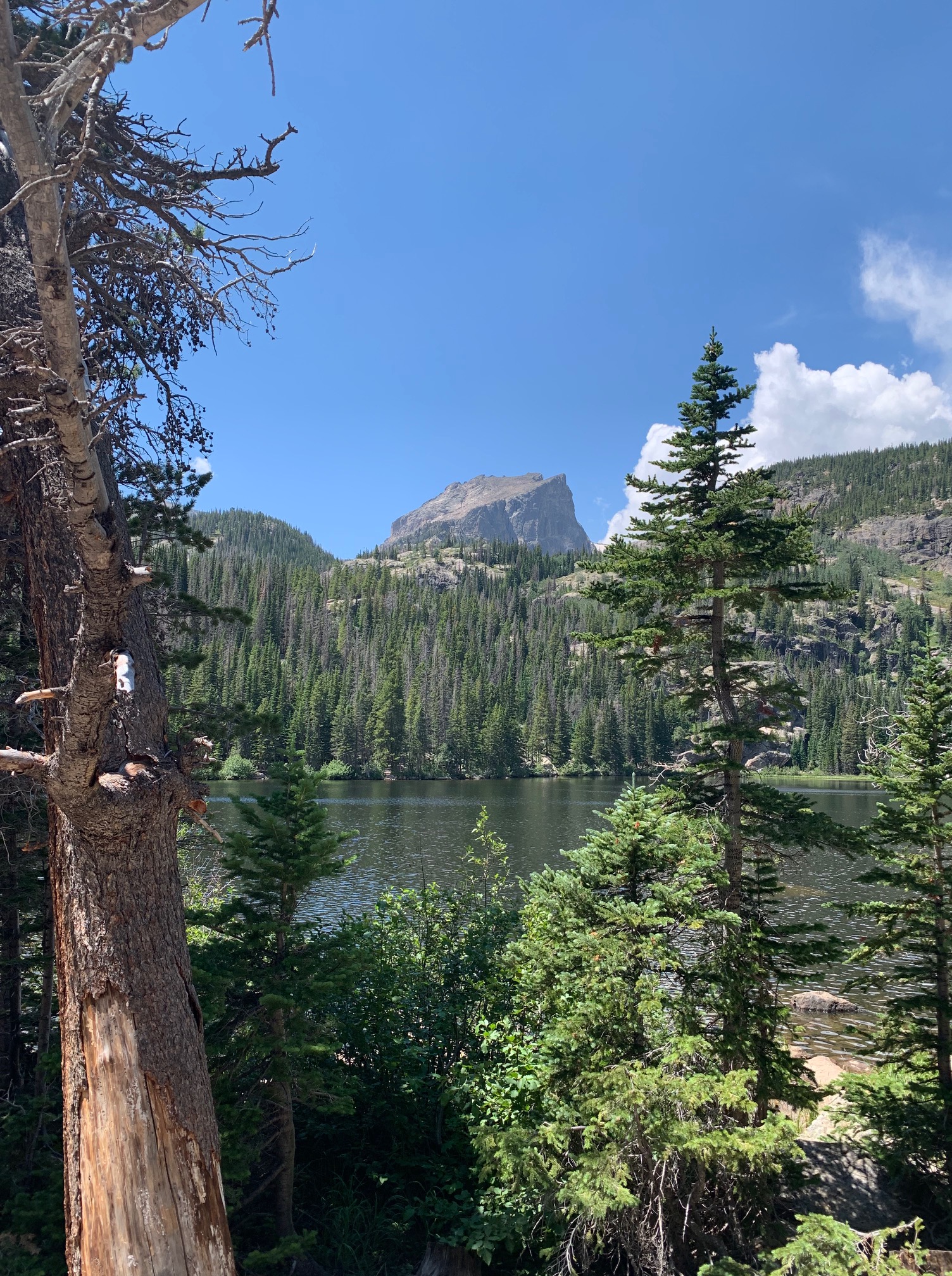
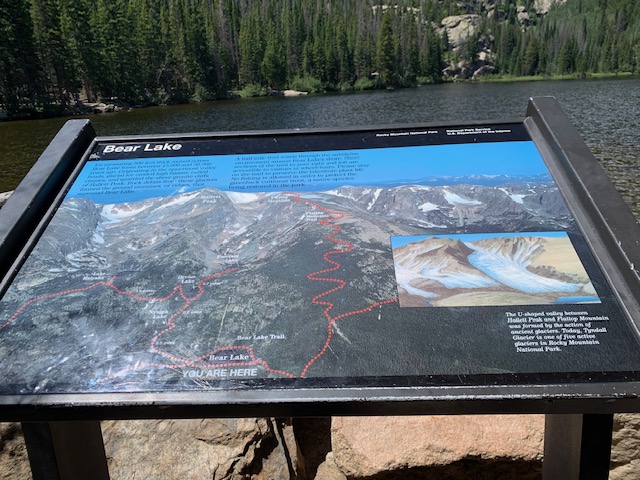
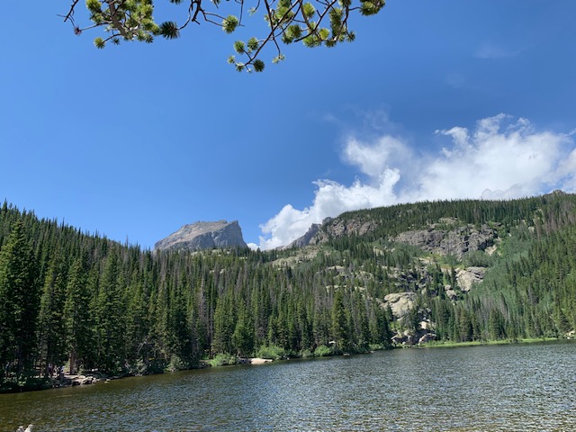
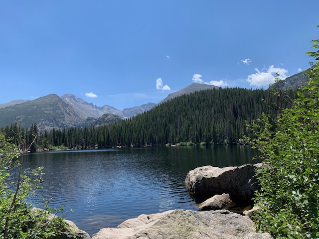
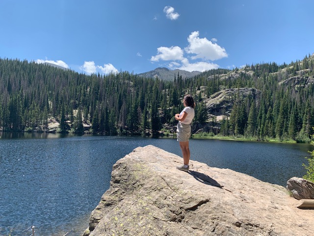
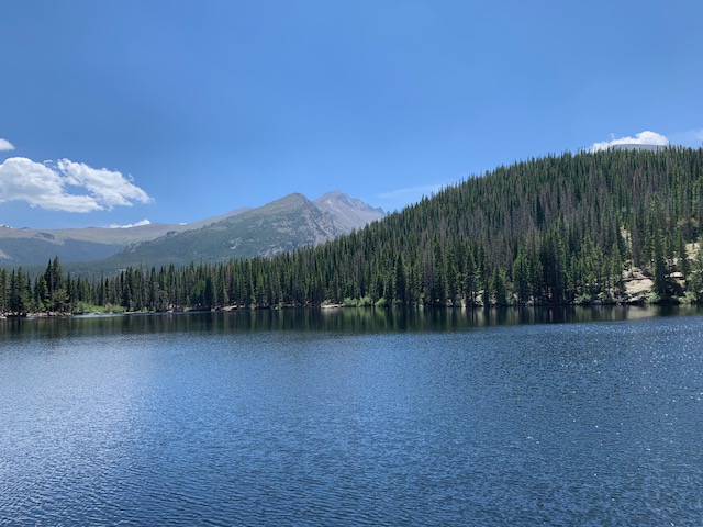
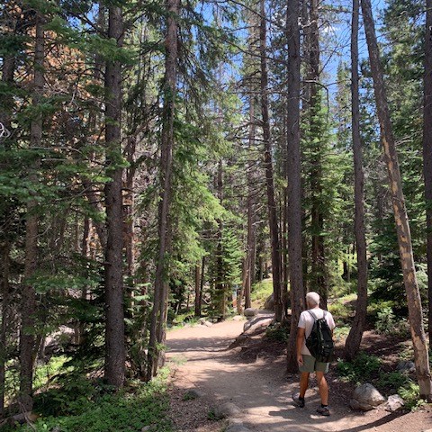
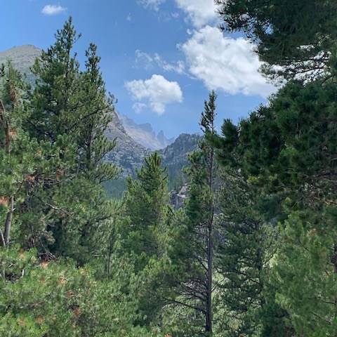
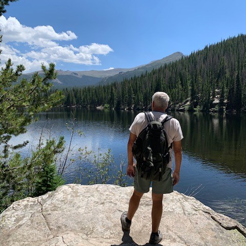
Bear Lake is a scenic trailhead and destination in Rocky Mountain National Park. Sitting at an elevation of 9,450 feet, the alpine lake rests beneath the steep edges of Hallett Peak and the Continental Divide. Several trails start from the lake.
Just an incredible place to be.
Our next stop . . .
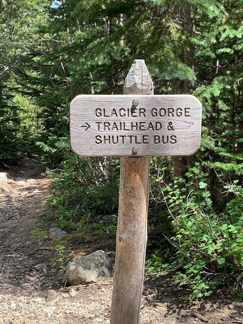
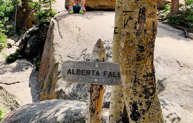
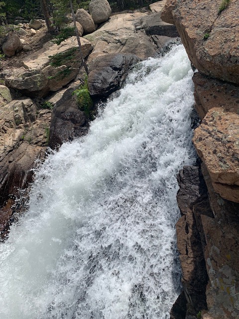
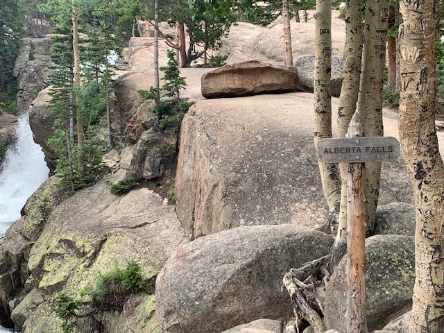
Is at Glacier Gorge trail and we hiked to Alberta Falls.
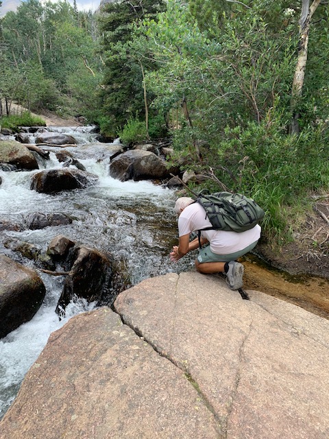
We were both at the top of the falls and had to put our hands in the water. 😊
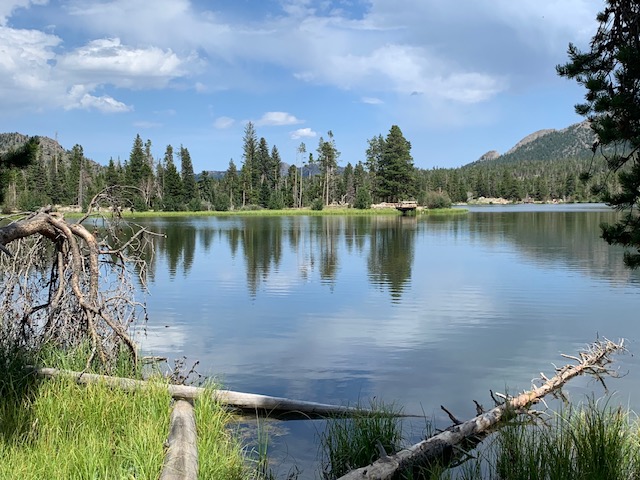
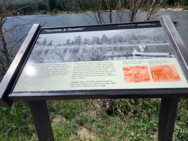
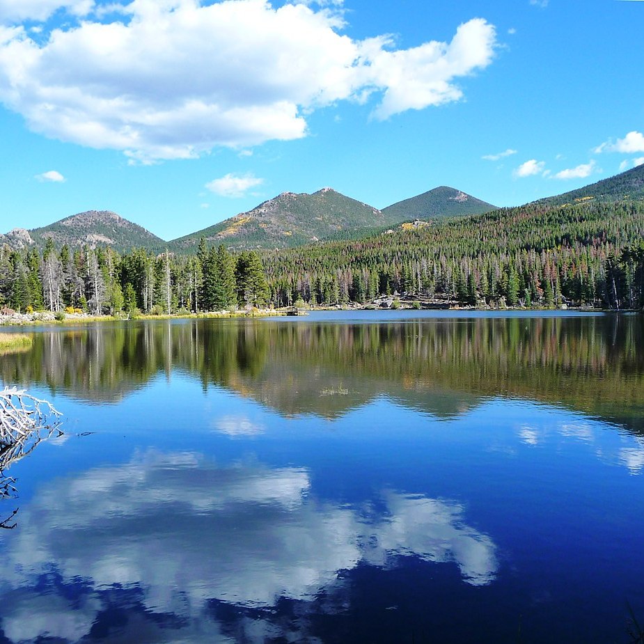
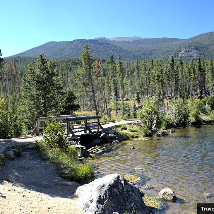
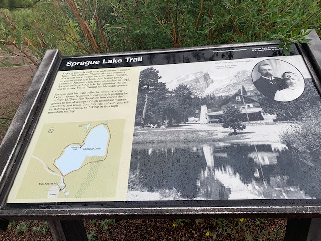
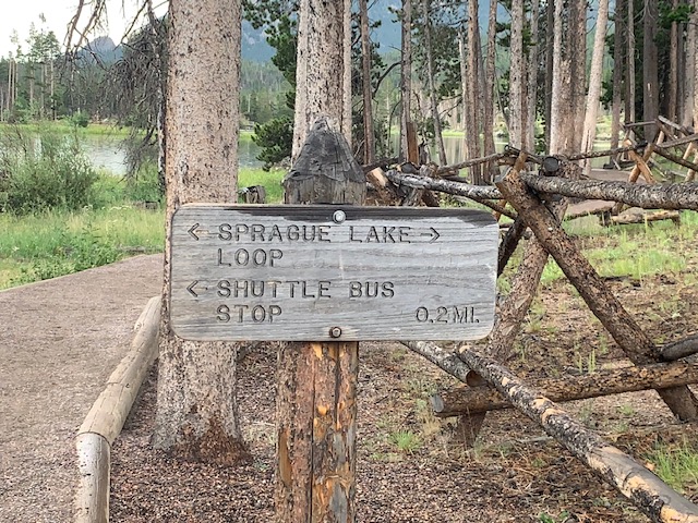
Next we went back to Sprague Lake, where we took the van tour, because we didn’t get to see very much of it. We took a walk which has boardwalks and bridges with views of Flattop Mountain and Hallet Peak.
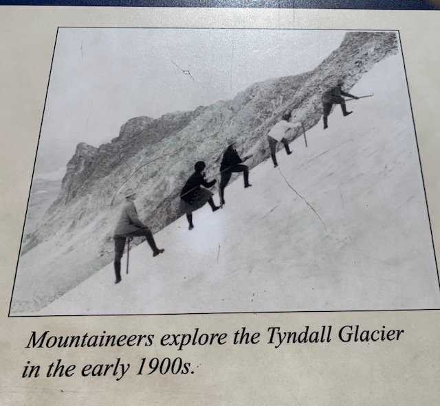
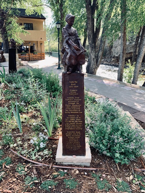
There is definitely a lady exploring the glacier as you can tell by her skirt. I gotta give her a lot of credit!
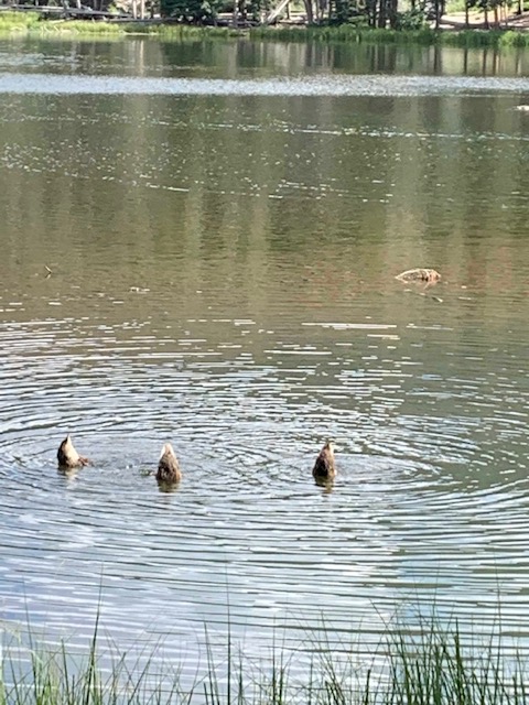
We finished out our day sitting on a bench and watching theses three ducks go under water for food and come up again. Another day at Rocky Mountain National Park with the spectacular scenery.
“Because of the Thames I have always loved inland waterways – water in general, water sounds – there’s music in water. Brooks babbling, fountains splashing. Weirs, waterfalls; tumbling, gushing.”
— Julie Andrews
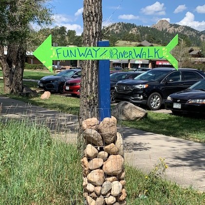
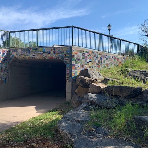
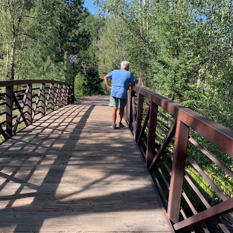
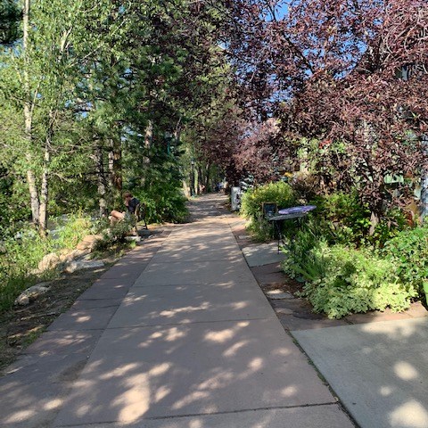
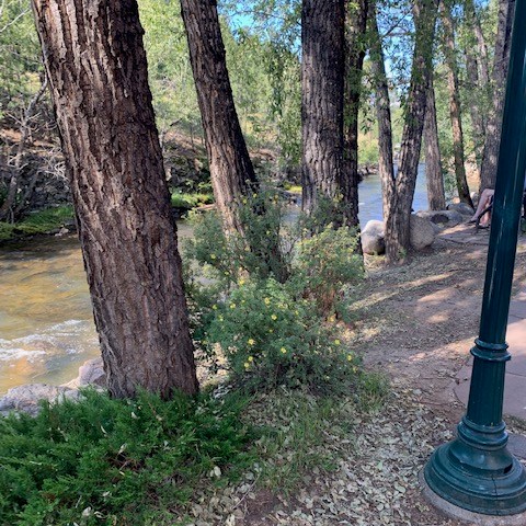
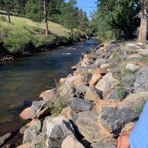
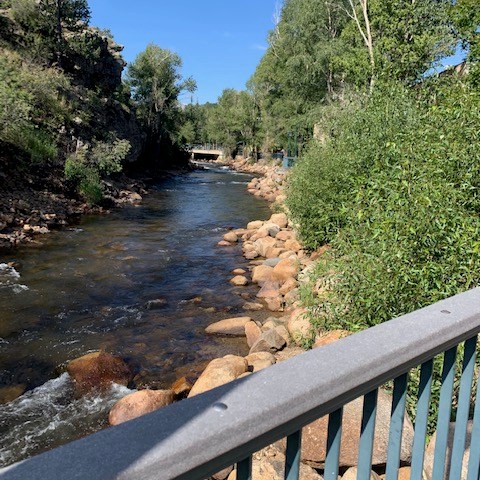
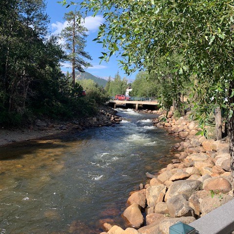
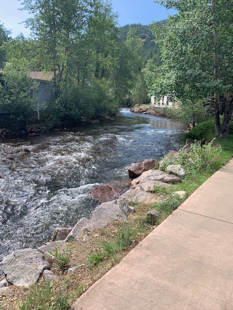
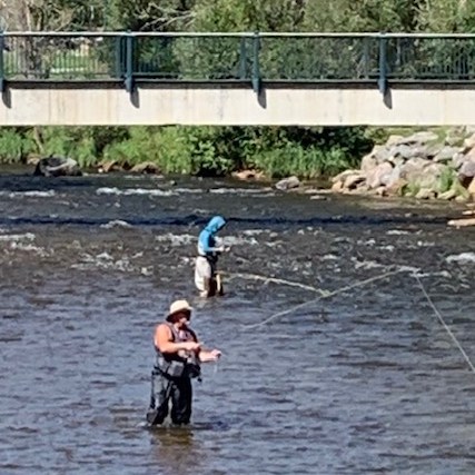
Our last day at Estes Park, which is right next to Rocky Mountain Park. The Town has a River walk trail that we took before we left.
I’m still trying to comprehend all the beautiful spaces and places and just how wonderful and vast Rocky Mountain National Park is.
Your last and final time to sing along with me . . . .
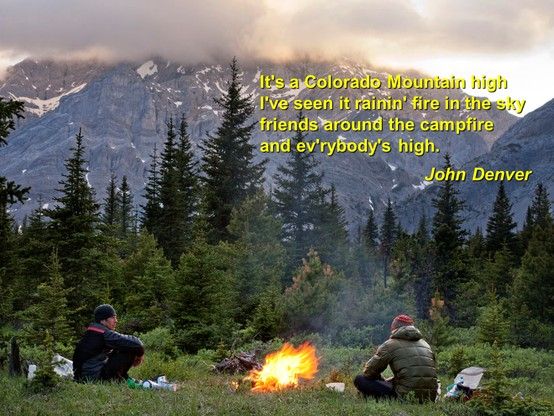
🎵 Friends around the campfire and everybody’s high
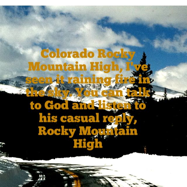
Ever since the song came out in the 70’s about The Rocky Mountains, come on now you know what song I mean . . . . come sing along with me . . .
But the Colorado rocky mountain high
I’ve seen it rainin’ fire in the sky
The shadow from the starlight is softer than a lullabye
Rocky mountain high (Colorado)
Rocky mountain high (Colorado)
Yes, that’s the song. I’ve been wanted to come here, and after a few, o.k. many years I’m here ! !
My apologizes if you don’t like the song.
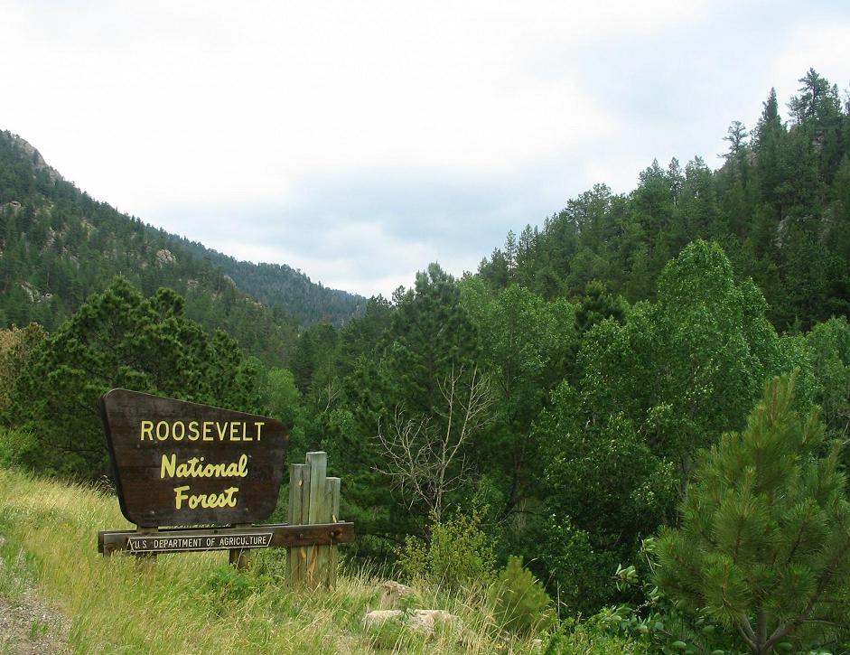
We took an Asprie tour and met our guide Nick, at The Estes Park Visitor Center. Before we got to Estes Park Visitor Center, where the entrance to the Rocky Mountains is located, we went through parts of Roosevelt National Forest.
Which was an incredible introduction before we even got to Rocky Mountain National Park.
Our tour guide Nick found us and off we went . . . . .
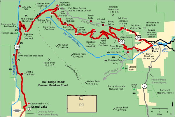
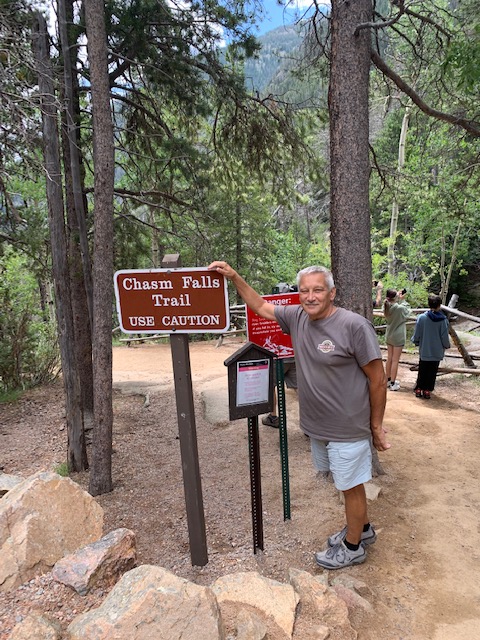
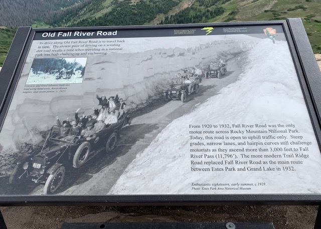
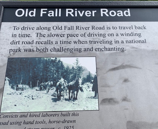
We took Route 34 and continued on to Old Falls River Road, which is closed in the Winter, and stopped at Chasm Falls, Alpine Visitor Center, and then headed back on Route 36/Trail Ridge Road to Gore Range, Forest Canyon, Sprague lake and back where we started at Estes Visitor Center.
Our first stop . . .
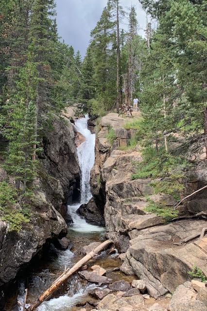
Chasm is a beautiful waterfall surrounded by rock.
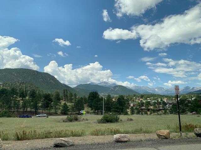
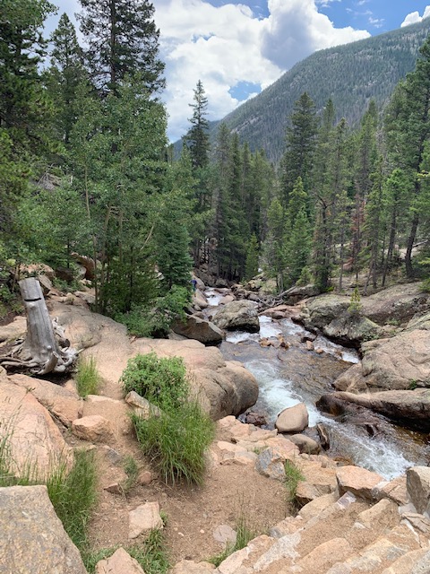
Pictures along the way . . .
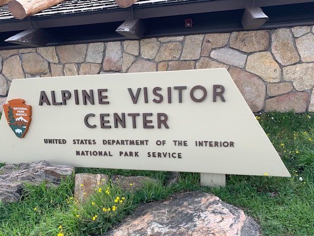
Our next stop The Alpine Visitor Center. . .
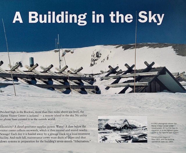
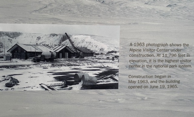
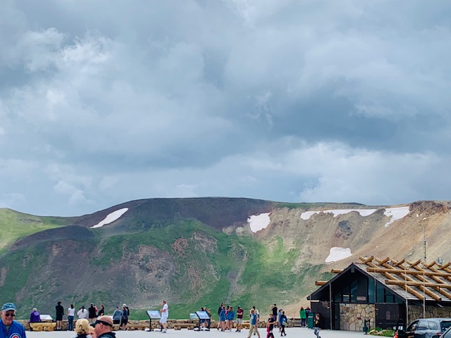
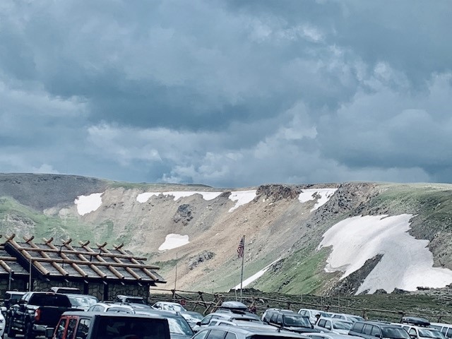
Located at the top of Old Fall River Road Alpine Visitor Center is truly the Visitor Center in the sky. At an altitude of 11,796 feet it is the highest visitor center in the National Park System. It is only open late May through mid-October each year, weather permitting.
At such a high elevation many people may experience mild to moderate Acute Mountain Sickness or Altitude sickness. Symptoms tend to occur within hours after arrival at high altitude and include headache, nausea, shortness of breath, and inability to exercise. Since we are definitely in high altitudes, when we were in Florida where at times we were 3ft. below sea level, we have felt a bit of a headache at times as well as shortness of breath. We have to take it slow and try and drink lots of water 👍
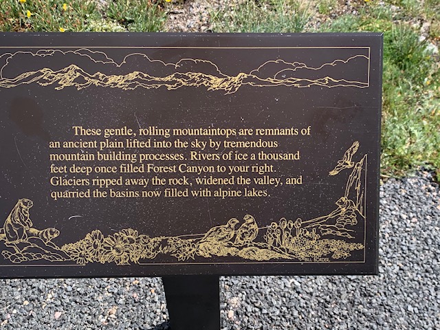
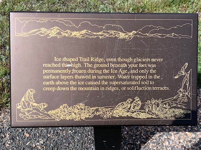
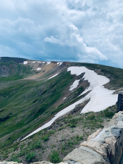
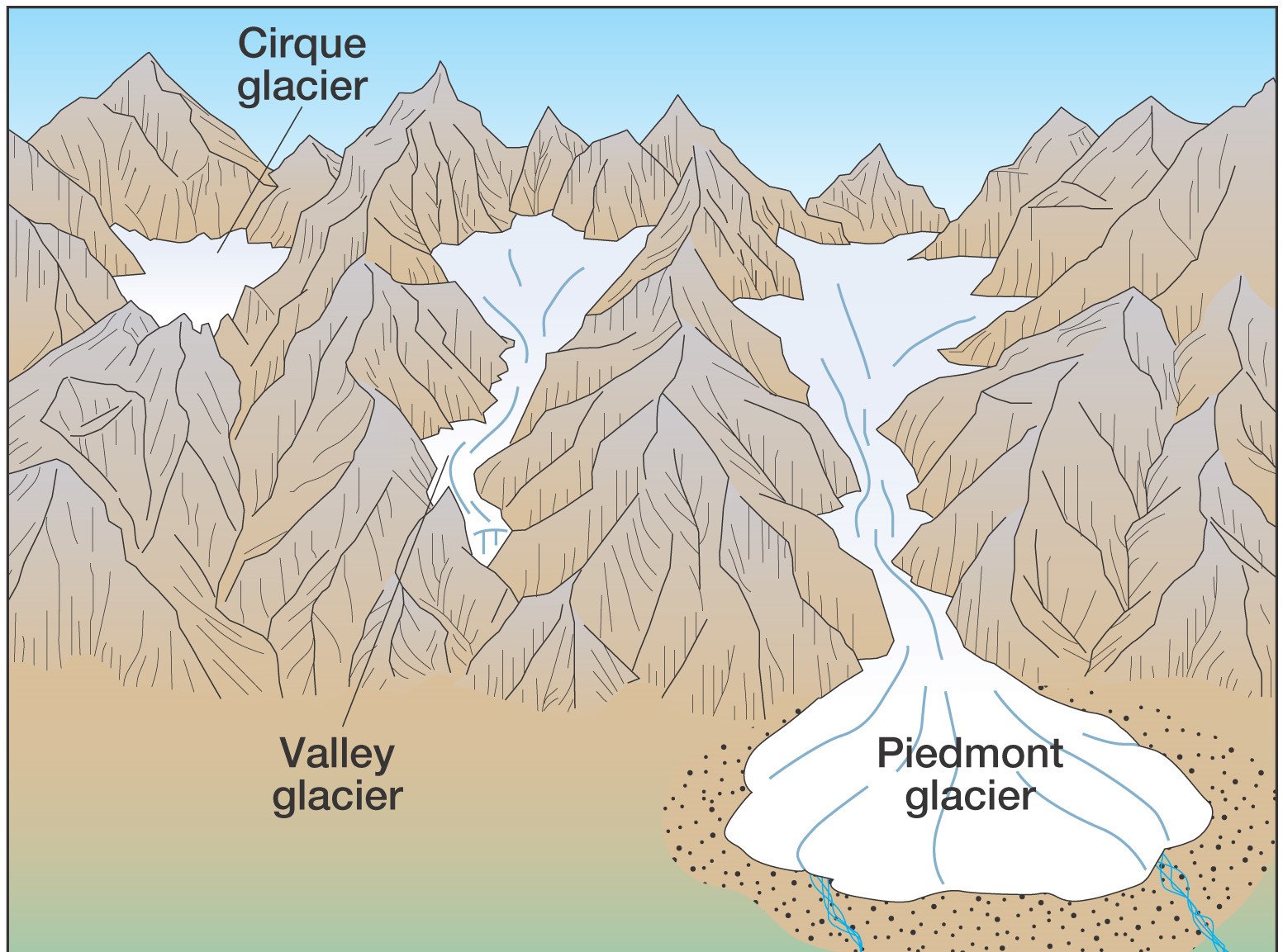
We learned how the park was formed by glaciers. A glacier is a constant mass of snow or ice that is large enough and heavy enough to flow, like a very thick fluid. Glaciation is one of the strongest erosional forces on the planet and is responsible for shaping the park as it is today. Ice is a powerful sculptor of this natural environment and large masses of moving ice are the most powerful tools for sure.
All of the glaciers at Rocky Mountain National Park are now cirque glaciers. A cirque glacier is a small glacier that occupies a bowl-shaped basin at the head of a mountain valley. Cirque glaciers are the remains of much larger valley glaciers.
Since glaciers only form in high altitudes, It was really neat for Dave & me to see glaciers up close and personal. And thinking this is the highest we’ve been, except on an airplane.
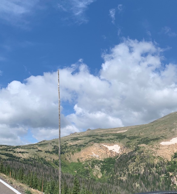
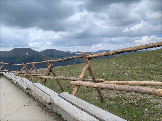
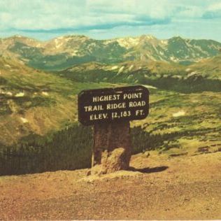
Along the way we stopped to see the highest elevation in the park you can drive to 12,183 feet above sea level!
A stop at . . .
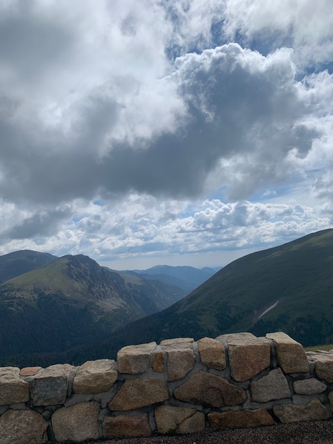
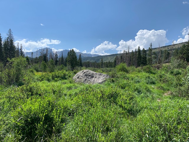
Gore Range Overlook offers views of the Never Summer Mountains, and the Gore Range, with the flat top of Long’s Peak is in sight – the highest peak at 14,259 feet in the park. You can hike up to the highest peak in the park, but you can’t drive to it.
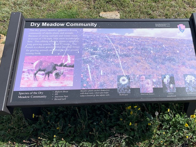
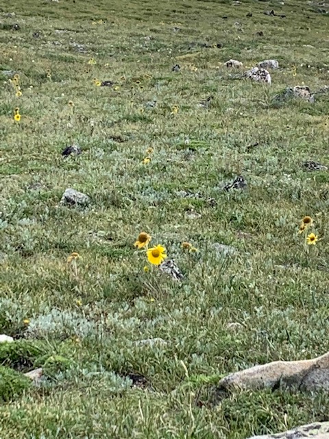
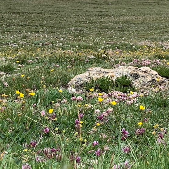
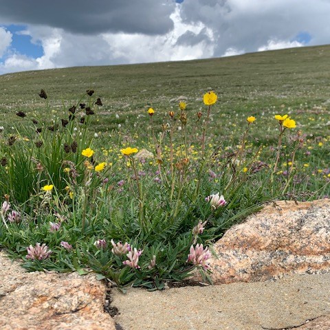
The varied elevation of the terrain in Rocky Mountain National Park brings with it a wide of variety of wildflowers. The flowers in Gorge Range have started growing again after a long period of not being there. Our guide told us after many years of being walked on they wouldn’t grow back. Botanist studied the area and learned that to get the flowers back they had to block off the area so know one would walk on them, so they did for about 100 years, and now their back!
On our way to another stop . . .
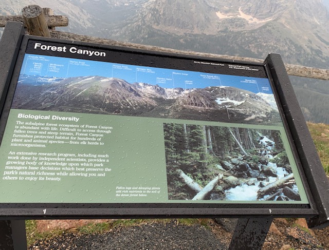
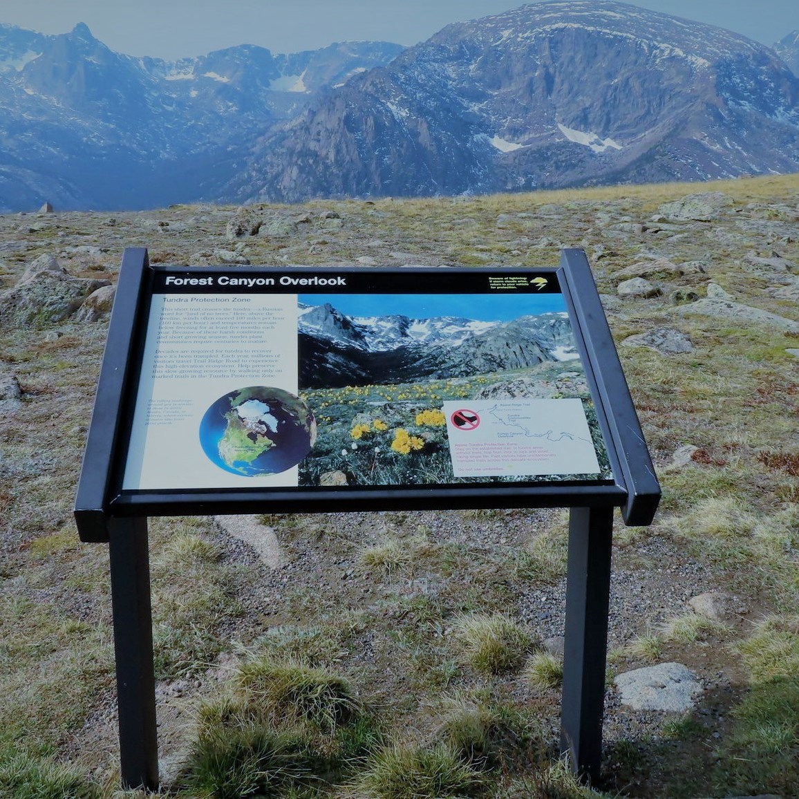
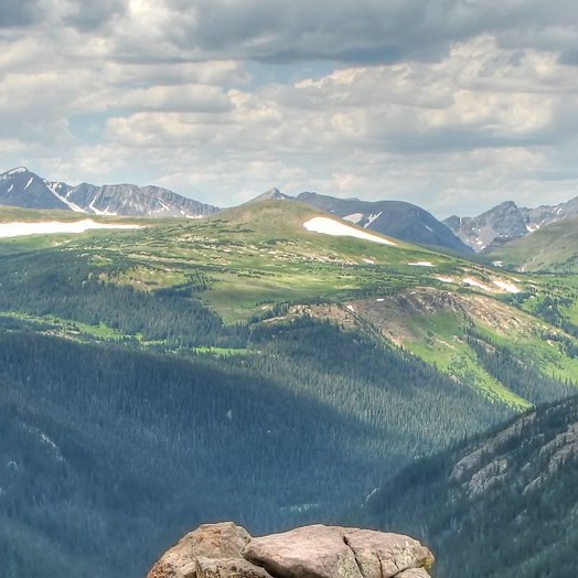
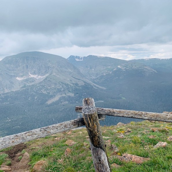
A short walk took us to Forest Canyon Overlook
Our final stop on the tour . . .
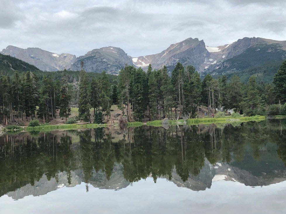
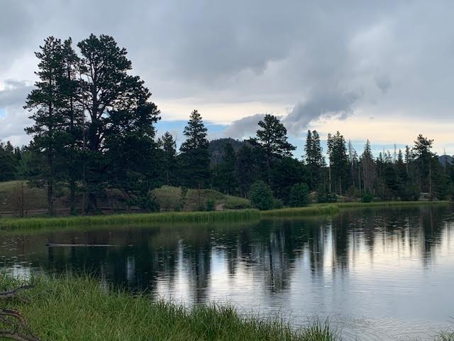
Sprague lake was a beautiful spot we couldn’t stay long as out tour was running a bit behind, we’ll have to come back.
Some facts we learned about the park. Trail Ridge Road is America’s highest continuous-paved road. It’s also the highest road in any national park. The CCC worked at the park and built trails, buildings and roads, including Trail Ridge Road and Fall River Road, which are still in use today.
We had a great first visit to the park and are looking forward to going back on Wednesday!
Come on everybody sing, Rocky Mountain High Colorado !
We are now in Loveland Colorado, just below Fort Collins and twenty miles above Denver. Drove 127 miles south today, we had nice views all the way. now we are back in congested areas. Damn, it was so nice in Wyoming with nothing around. Lot to do and see here. We are at Boyd State park for two weeks.
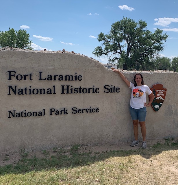
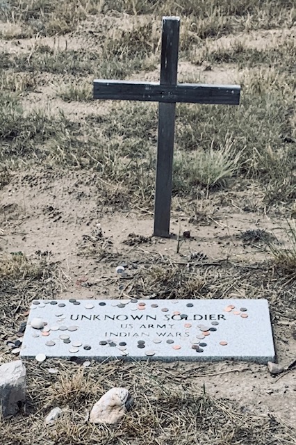
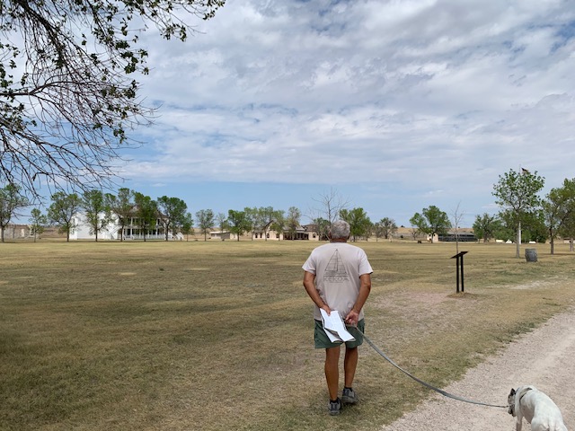
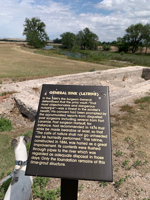
We went to Fort Laramie today, spent a lot longer there than I thought we would about five hours. There is a vast amount of history here, which is really neat to learn.
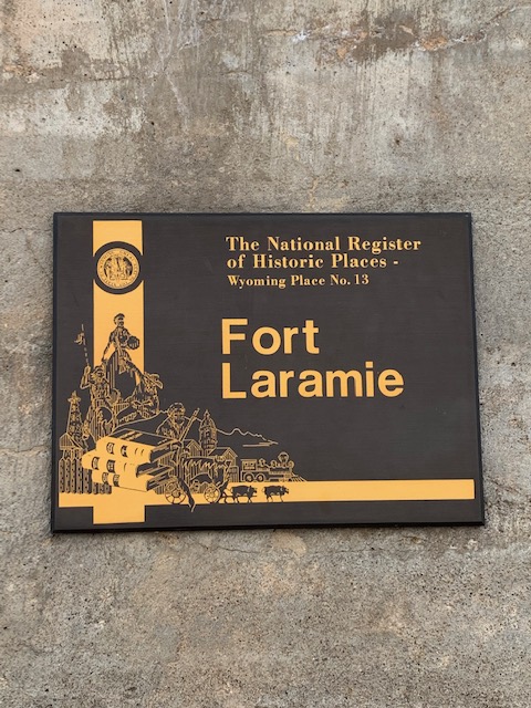
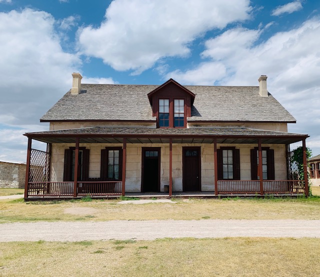
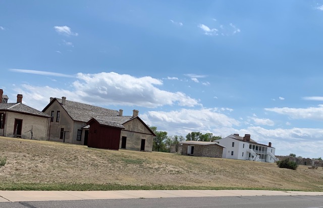
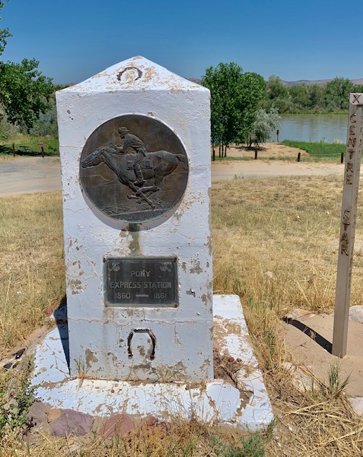
The original fort was Called Fort John, built at a bend in the Laramie river, just about where it goes into the North Platte river. It was built before 1840, was a small place about 200 x 200 with fifteen foot hill log walls. It was a trading post really, where fur traders, and Indians would come together and trade goods. The very powerful American Fur Trade company owned it. In 1849 the U. S. Army purchased the Fort as part of a plan to establish a military presence with the increased emigrant traffic. It was renamed Fort Laramie. Right away it was enlarged and grew in size with new buildings made of adobe and had everything a fort would need. Military presence grew, and soon the fort became the principal military post on the northern plains. The fort was also the transportation hub for the Oregon trail, pony express, stage lines ,and the telegraph. In the 1870’s the fort saw again a need for update, new buildings were now made of cut sandstone, more quarters for troops we added, married men brought there wives and kids to live. Soon it looked almost like a small frontier town, as in the 1880’s there were tree lined streets, gas lights, swanky looking homes. In 1890 with the railroad, and the Indian wars over, it was closed, and sold at auction. Homesteaders bought what was left, tore down buildings to use for there own use. in 1938 Roosevelt declared Fort Laramie a national historic monument. Detailed surveys then took place, along with archeological research. Twelve buildings are now restored to original, to show what live was really like out in the plains.
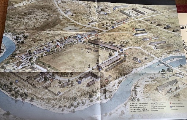
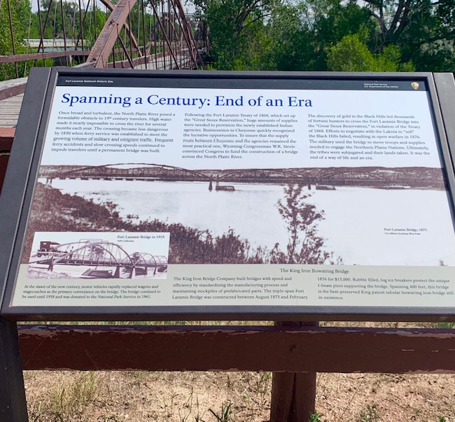
The fort after it’s many enlargements, about a mile long, three quarters mile wide. The original, small Fort John , is in the far left hand area by the river, nothing remains today. The iron bridge to the right goes over the Laramie river, ( no longer standing)built in the early 1870’s, before then and in which most immigrants had to do was take the ferry across, which was in itself very dangerous. Also on the far right is a vast flat area where all the wagon trains would stop, then you could go the fort and buy supplies. Soon sutlers, selling there goods ,and even some hotels sprang up on that side to resupply settlers on there way to Oregon. Also on the far right top would of been the very vast area for the horses, mules, oxen ,whatever ,think about how that smelled day after day.
The fort as it appears today. Notice there are no walls, around the fort. They only had rifle pits around which were maned all the time, with a few cannon about. Indians liked open area attacks where they had the advantage with there swift pony’s. They knew it was not wise to attack a fort, so all the movies you see with them attacking, that’s just Hollywood.
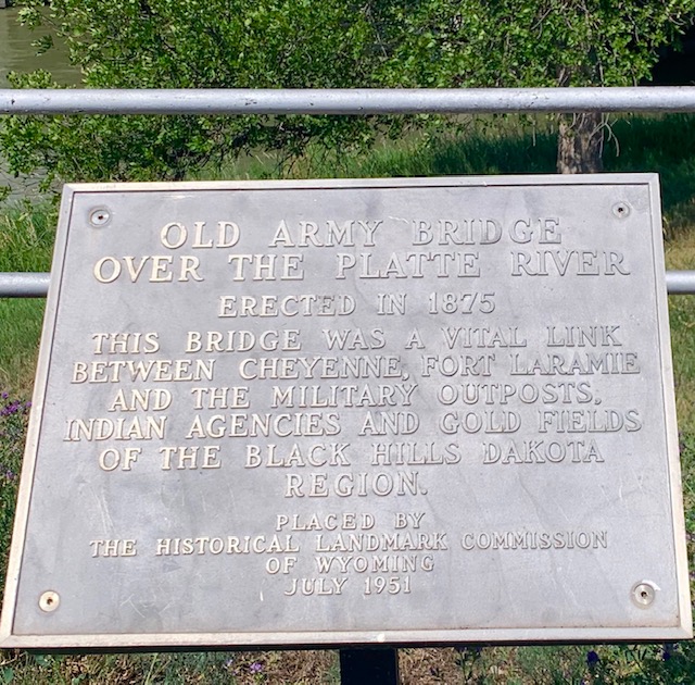
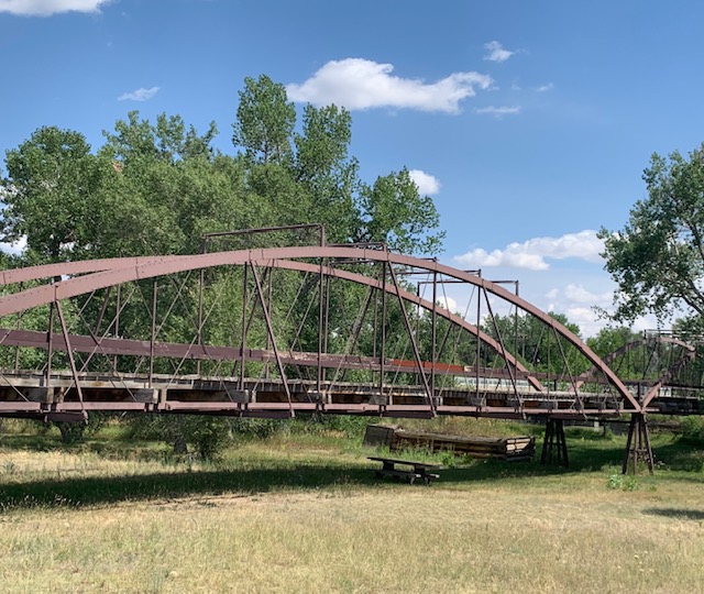
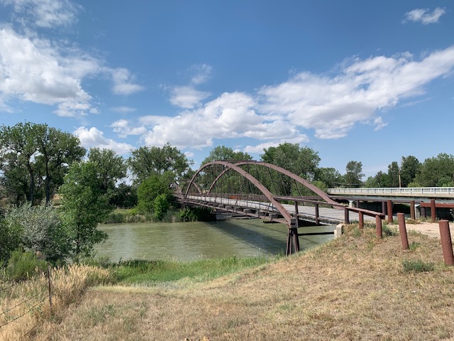
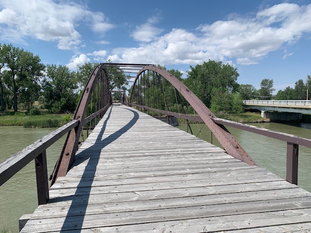
If you were traveling west on the Oregon trail, Fort Laramie, was a must stop, you would of crossed the Platte River and Laramie river by barge or ferry. Time consuming and dangerous. As i mentioned before an iron bridge was erected over the Laramie river, there was one also across the Platt river. It still stands and to think thousands of people, horses and wagons crossed it was fun to walk it.
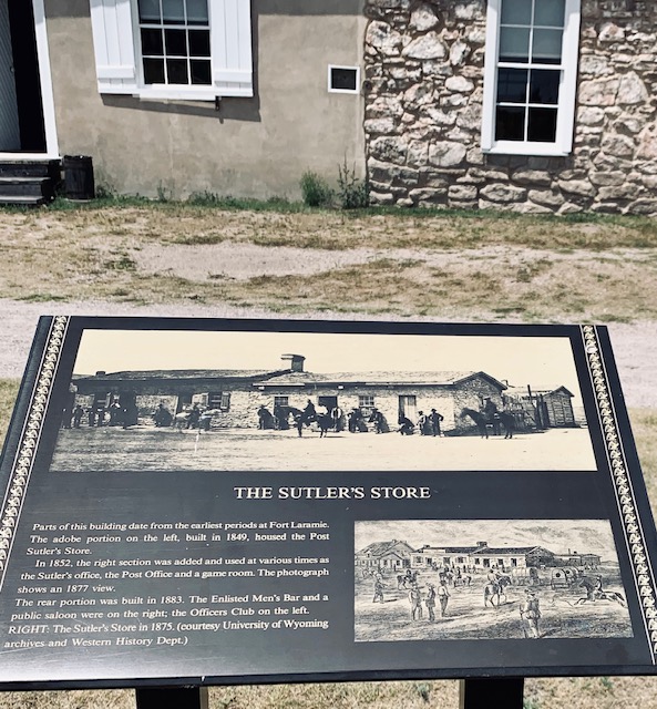
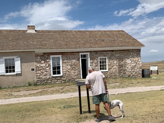
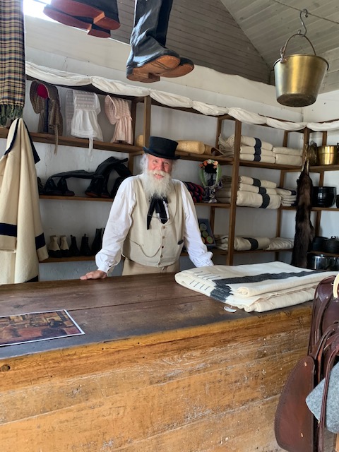
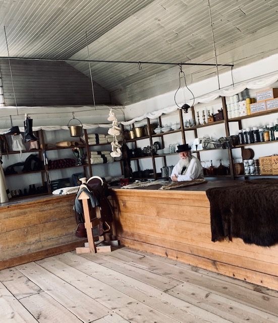
Fort Laramire’s emigrant season lasted only 45 days, between late spring and early summer, each year, the place was so busy that in the sutlers store, they had 13 clerks working day and night to keep up with the demand of goods needed along the trail. Pictures below show that ,and the counter the sutler is leaning on is the original one over 175 years old.
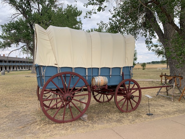
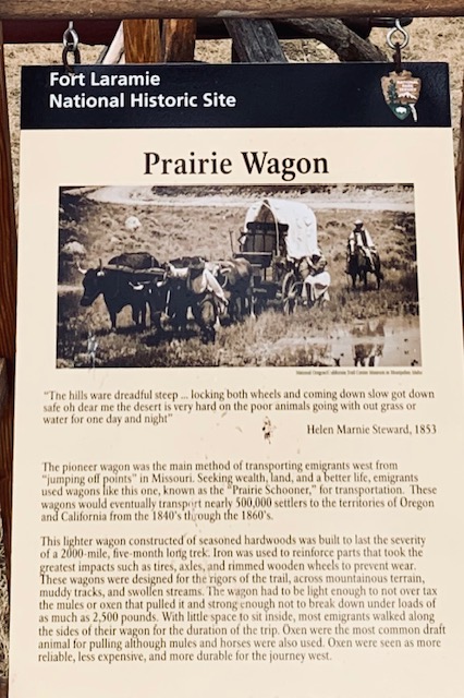
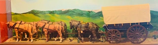
Traverling the trail also required a special kind of wagon, called a prairie schooner or wagon, only four feet wide, it was built to withstand the harsh terrain along the trail. Emigrants walked along side of it, not in it as it was packed with too much stuff, they only slept in it, if there was room.
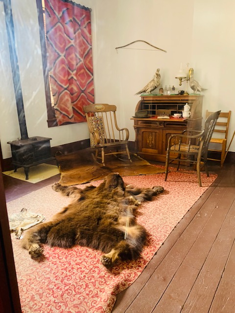
The fort underwent a lot of changes in it’s time, with a lot of original buildings lost to history, but what is left defines what it was like to live in the open out west country at the time.
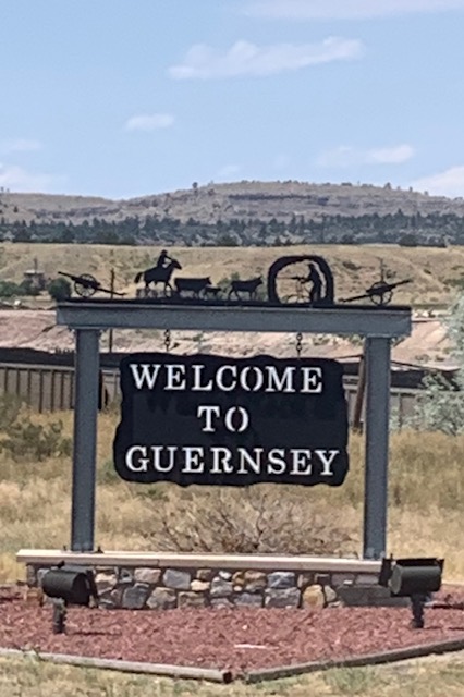
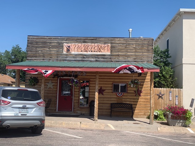
On our way back we stopped in Guernesy to have lunch at the Twisters Eatery. It was good food.
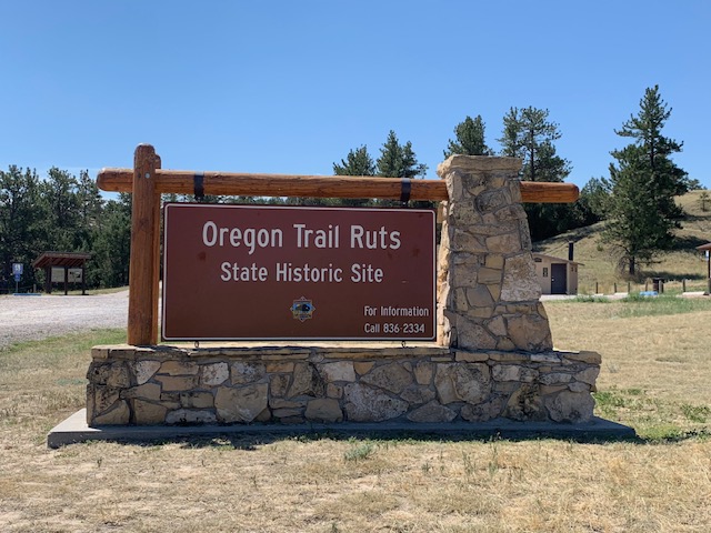
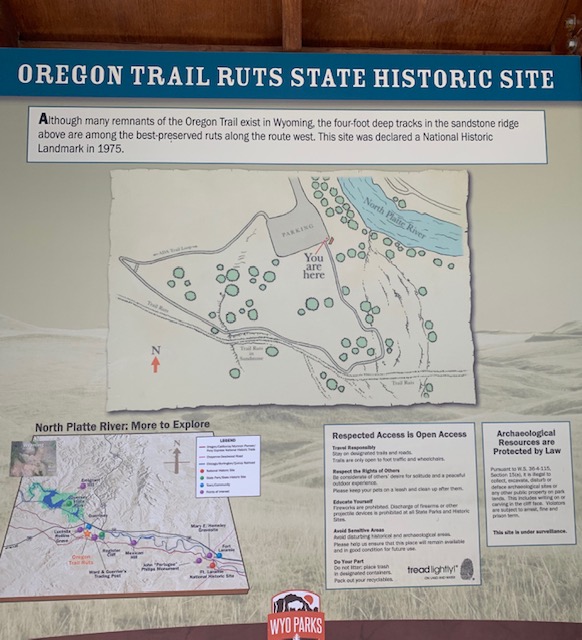
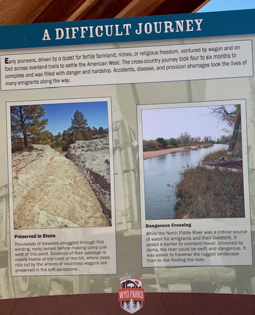
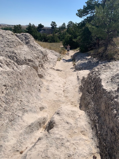
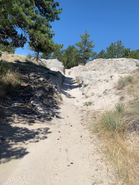
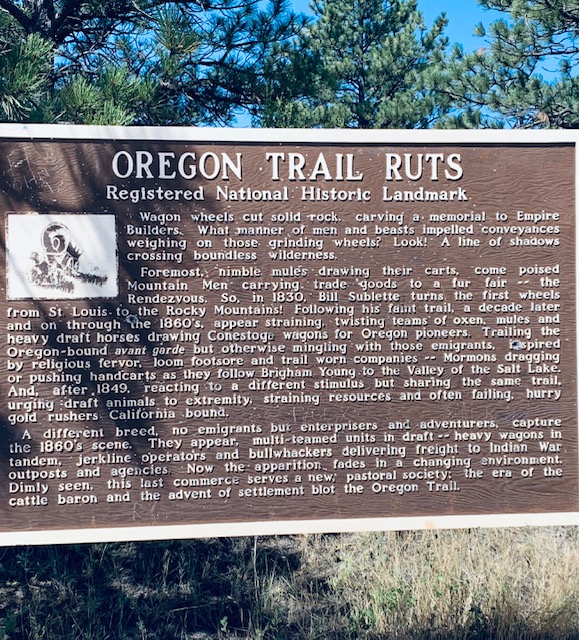
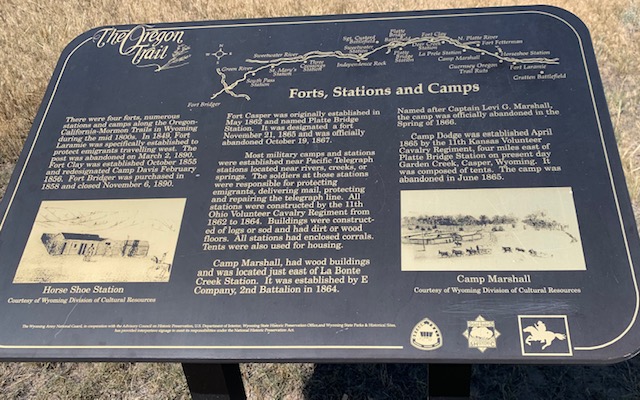
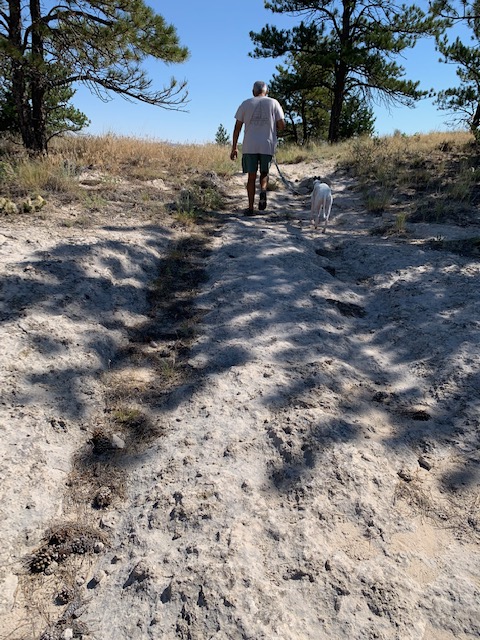
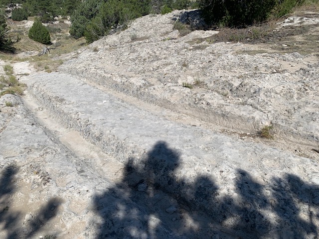
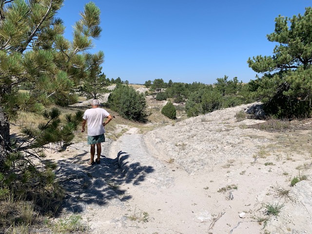
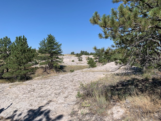
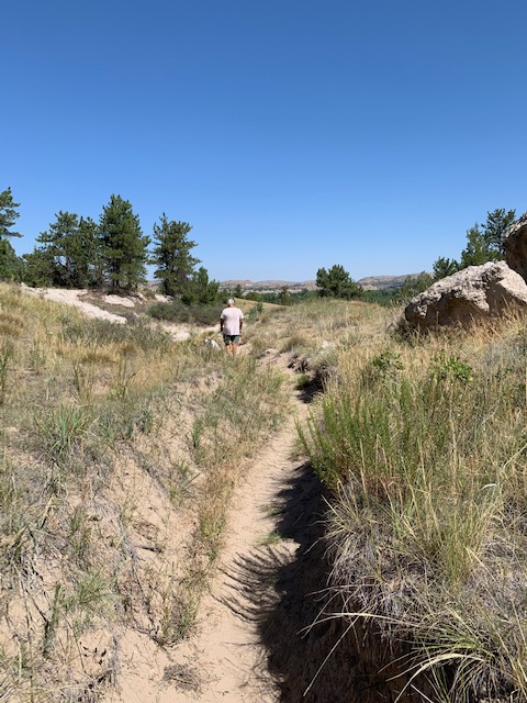
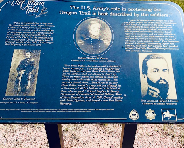
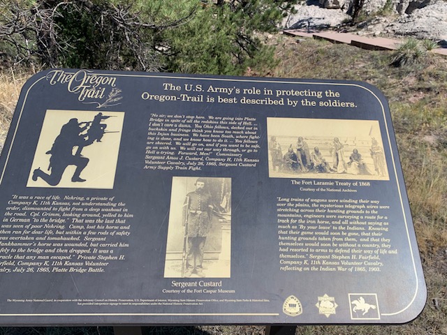
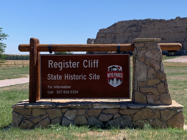
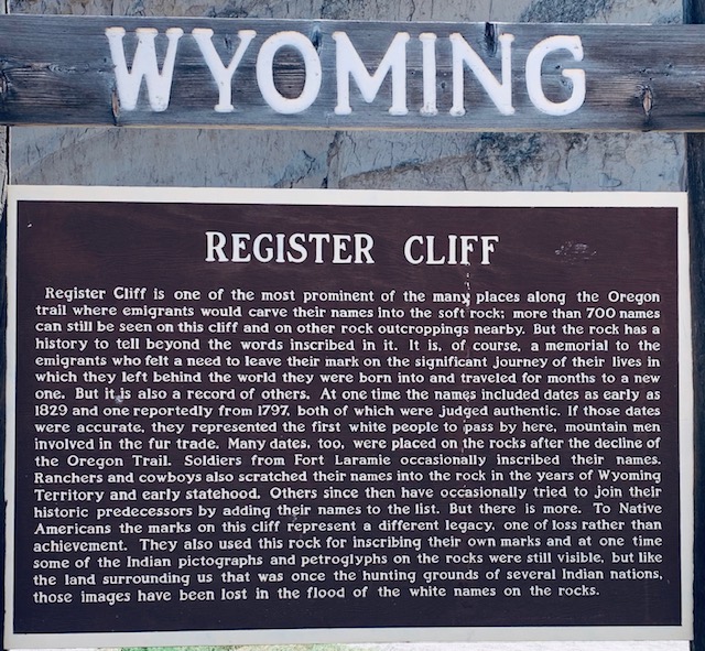
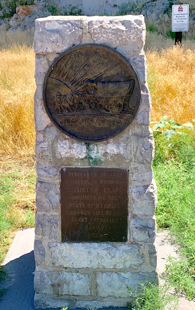
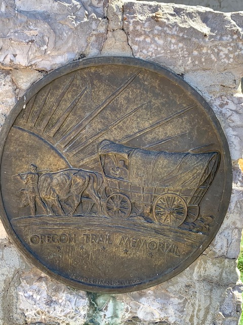
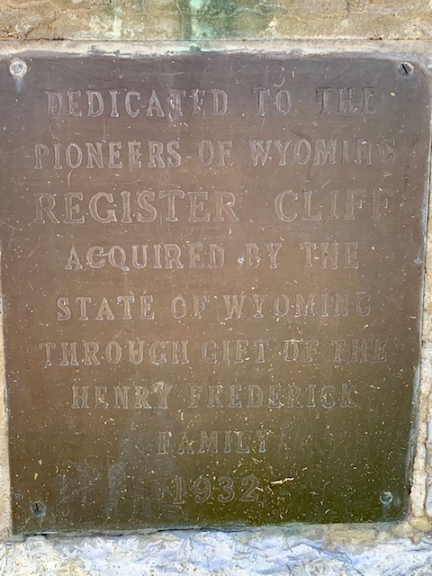
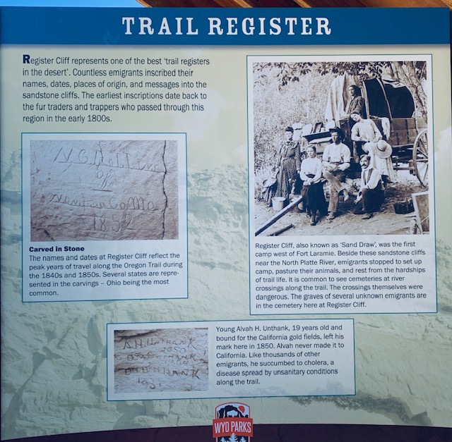
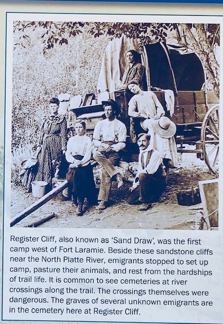
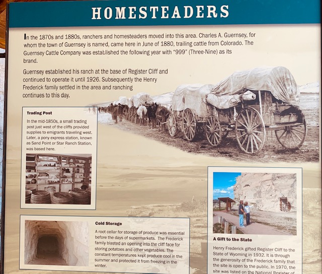
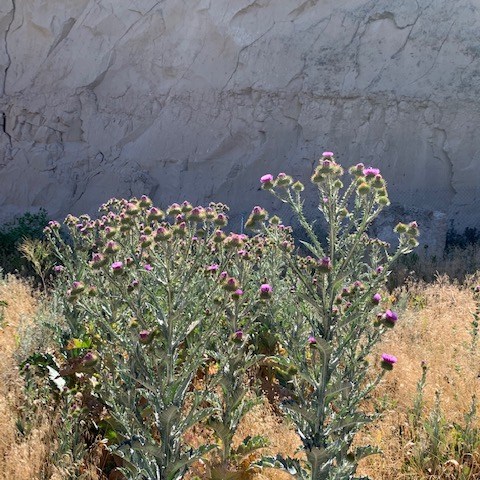
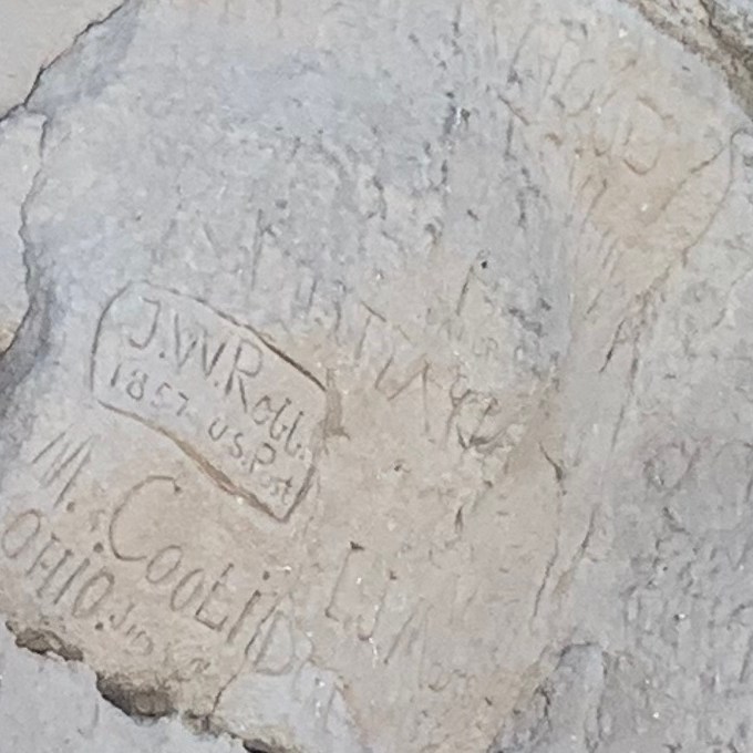
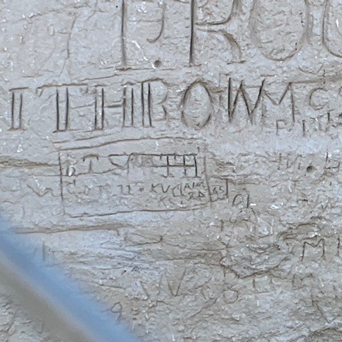
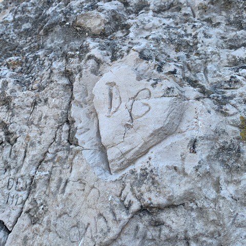
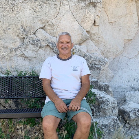
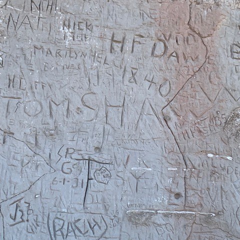
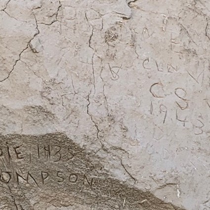
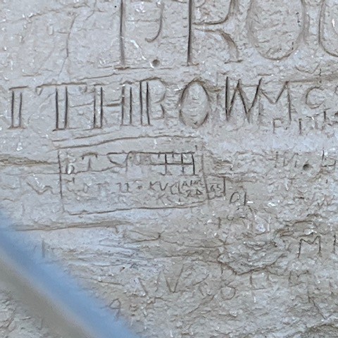
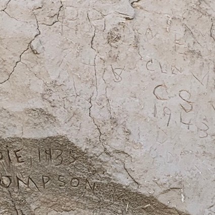
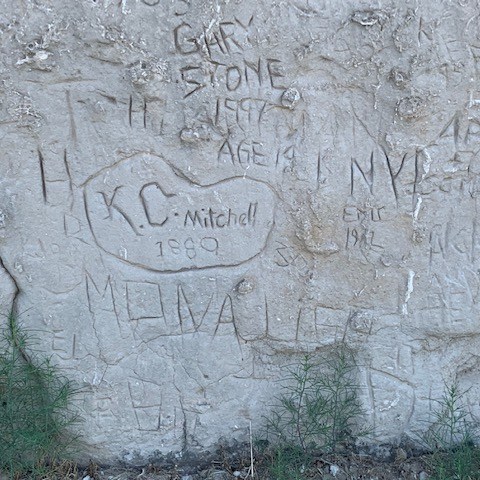
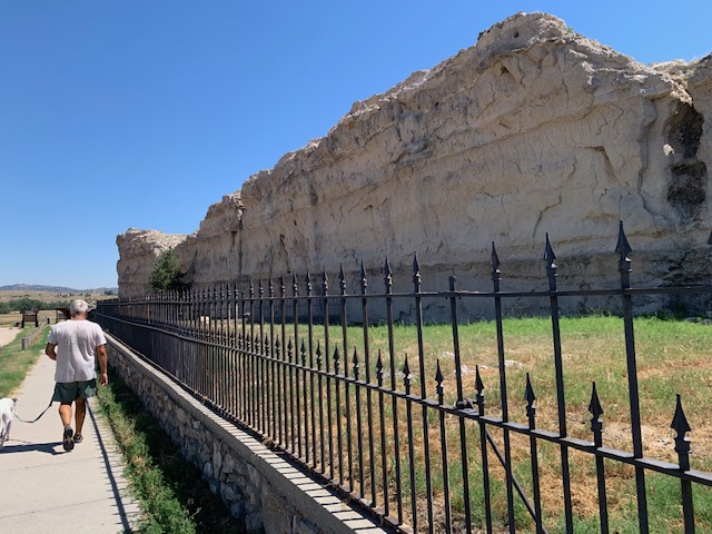
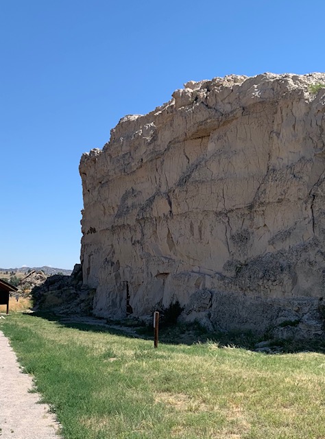
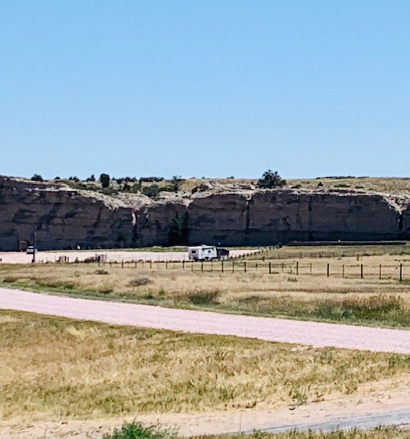
Today we went to Guernsey Wyoming a little town on the east side of the Platte river. On the west side close to the river is the Oregon trail. We visited the Trail Ruts national historic area and the Register Cliffs historic site. At the time of the Oregon trail Guernsey did not exist, nothing did, except Fort Laramie 10 miles to the south, also along the Platte river. These two sites are parts of the Oregon trail that have been preserved. Either site would be your first stop after leaving Fort Laramie as the wagon trains only traveled about 10 miles a day. Being near the Platte river, it was a good stop as there was water and large areas for cattle, horses. Register Cliffs is named for thousands of people who put there names on the side of the soft sandstone cliffs, where they stopped. As early as 1840 there are names. It was a really cool place to visit and ponder if we would have signed our names or even ventured on such a hazardous trek to begin with . There is a small cemetery there also for those who died along the way. The Oregon trail Rut site was an amazing place, there are ruts from the thousands, and thousands of wagons that crossed, five feet deep or so. As the sandstone was soft the wheels just dug deeper and deeper. If you were on the trail, you did not deviate from it, it was too risky, and also the trail goes along ridges and smooth hills, not lowland like we thought. This was for two reasons, one on the hill tops you could see for miles so if anyone was lurking around you would see them. Second during the fall and early winter, the wind would keep the snow off the hill tops, so you could move and not get stuck in the snow. These were two very neat places to go and we learned a lot. Next we are going to Fort Laramie, will post on that soon.
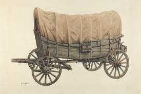
The wagons were ten to twelve feet long, four feet wide, and two to three feet deep, with fifty-inch diameter rear wheels and forty-four-inch front wheels made of oak with iron tire rims. The wagons weighed from 1,000 to 1,400 pounds and carried loads between 1,500 and 2,500 pounds. They had sturdy hardwood box frames that were made as watertight as possible to facilitate stream and river crossings. Most overlanders used two or four yoked oxen to pull their wagons, because they had more endurance and were less expensive than horses or mules and they were less likely to be stolen by Indians. Prudent travelers carried spare parts, grease for axle bearings, heavy rope, chains, and pulleys to keep wagons repaired and to aid in rescue from predicaments.
More Ruts . . . . Oh Nuts . . .
Where the wagon train ruts are
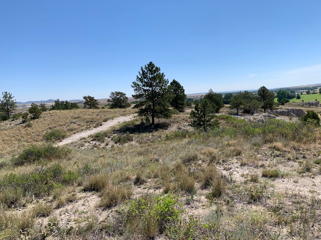
And Now . . .
By the time the last wagon trains crossed in the 1880s, mass migration on the Oregon Trail had left an indelible mark on the American frontier. Decades of prairie schooner traffic carved up certain sections of the trail, leaving imprints in stone and wearing down grasslands so much that nothing grows on them to this day. These pioneer wagon ruts can still be seen in all six of the states that once encompassed the trail.
Truly incredible places and incredible people who left their homes back East for a new start out West.
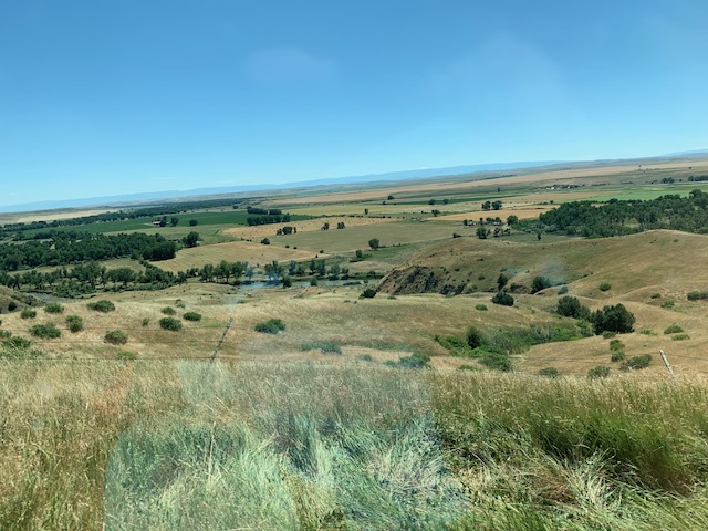
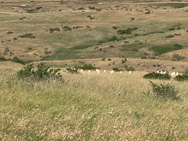
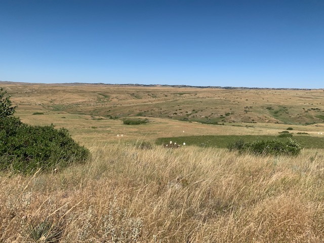
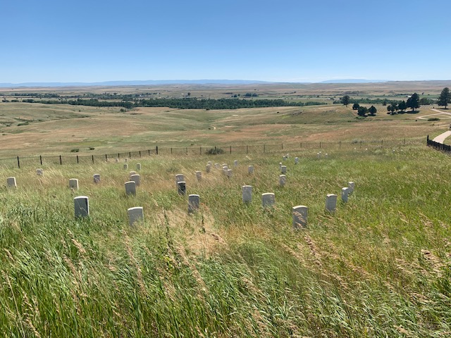
If you have never been to the Little Bighorn Battlefield, you would believe everything thing you ever heard, or saw about the battle, however it’s all Hollywood. My perception of the battle that took place here was all in my mind as I stared out into the open vastness of the landscape before me. How big it was, how hilly it is, and wide-eyed looking at all the little white markers scattered all over the place, indicating where a soldier fell .There are no grand hero’s here, no great charges or last stands to ponder about, just stark reality of it all 150 years ago. The battlefield is on a long sloping hillside going down to the lush green grass next to the Little Big Horn river, about four miles long and a mile wide. Our tour guide Mike took us through the battlefield and educated us on the battle itself, which is somewhat complicated . I will give the short version.
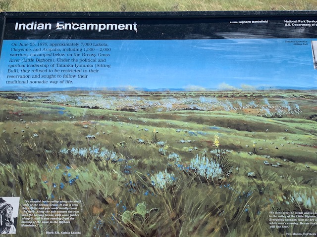
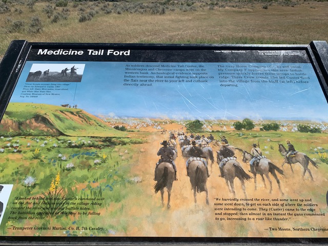
In early summer of 1876, about 7000, Lakota, Cheyenne, and Arapaho, including about 2000 warriors, are camped in a vast village along the green grass of the Little big horn river. Led by Crazy horse, they refuse to go back to the reservation. The army is sent to persuade them to go back by force. Three large groups are sent after them. Around June22, General Custer and about 600 men of the 7th Calvary, are detached from the main body and travel south and east, upon hearing word of a large group of horses down by the meeting of the Rosebud and little big horn river. Custer travels over the Wolf mountains at night, reachs the Rosebud and learns there is also a large village there. Not waiting he travels most of the day to the Little Big horn. His men and most important his horses are dead tired. When he reachs the river, atop a hill , he sees before him a vast Indian village spread out for miles along the river.
View Custer saw of the village across the river
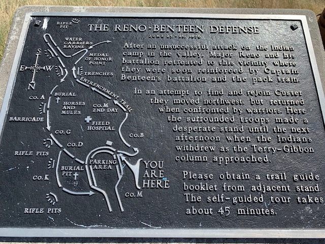
At this point it is about noon. Custer decides to attach, he divides his forces into three groups, his, Reno’s and Benteen’s. Custer has about 240 men with him the other two groups a little less each, as the pack mule train miles behind needs protection, so some men are assigned to protecting them .(lucky as it saved there lives). The map below should help in understanding the charges, retreats and demise of Custer. Black line is current tour road, Blue are Custer’s out fit, red are Indian warrior movements
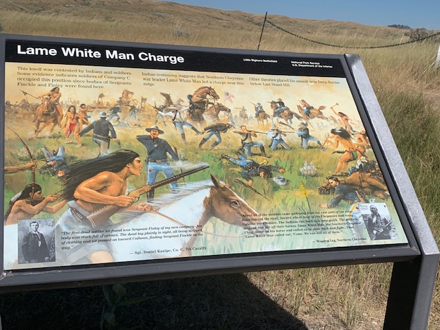
The battle starts right to left. Reno is ordered to sweep down into the southern end of the village. Benteen who is still miles back will not reach the battlefield until late in the afternoon when it is over. Custer upper dotted line, will take his men at a gallop behind the hills, a few miles then comes out and sweeps down to the village. Reno’s men move first and decent the ravine, splash over Bighorn river ,and surprise the village. Lower blue line. Mounted troops shoot into the village, soon a group of warriors halts the charge, troopers dismount and make a skirmish line. More and more warriors apppear. Reno moves his troops into a stand of trees, where his horses are and continues to fire. Soon he is surrounded. Reno who has been drinking most of the day, orders his men to mount and make a run for it. They cross the big horn river and ascend a large ravine, now called Reno- Benteen hill( light green area on right of map). All the while being hunted down by hundreds of warriors, over 40 men are lost. On top of the hill Reno sets up a defensive position and awaits an attack. It does not come, Warriors break off the attack as they are now needed on the other end of the village where Custer has now started his attack. (Large green area left side map)While Reno makes his charge Custer, moved three miles along the hillside, and atop a hill now known as last stand hill, he decides to attack, so he descends the ravines, to the river. Hundreds of warriors stop his advance and he is forced back up the hill, losing a lot of men killed and wounded. Atop the hill 40 or so troopers stagger back for the last stand. Surrounded Custer and his men are inudated with arrows and bullets. Custer is shot in the lower side and left temple, who knows when. The battle started at 3 p.m. and was over by 5p.m. All of Custer’s men and command are killed. Later in the early evening, All along the battlefield, women and older children, kill the wounded, strip the dead of cloths and mutilate there bodies, which was custom so your spirit would go to the great beyond. However Custer and Major Keouh bodies are not mutated, a few Indians recognize them ,full of hate they do not want there spirit to go beyond, they are left alone. The battle however is not yet over. Warriors continue there attack on Reno, Late afternoon Benteen arrives and there position is reinforced. No one has any idea where or what has happened to Custer All night they are attached by warriors in small groups, morning comes and the Indians are seen retreating, a large dust cloud is seen to the north, approaching is the army of Gibbon and Terry. They are the first to see Custer and his men, scattered all over the hill sides. They find Reno and his men in there position, and learn of Custer’s demise. The battle is over. Over 250 troopers are killed, and are all buried where they fell. Less than 100 warriors are killed. Our tour with Mike was a great learning experience for us. Some interesting facts.
Custer severely underestimated the amount of warriors in the village, who had superior fire power with them , like repeating rifles, which a lot of the troopers did not have.
Almost all of Custer’s troopers had never seen combat.
The youngest to fall in the battle was 17 and the oldest was 56.
The Indians only took women and children as prisoners’.
The Indians used pony’s not full size horses like the cavalry, so they were much faster.
To be in the cavalry you had to be no taller than five foot five and weigh no more than one hundred fifty pounds.
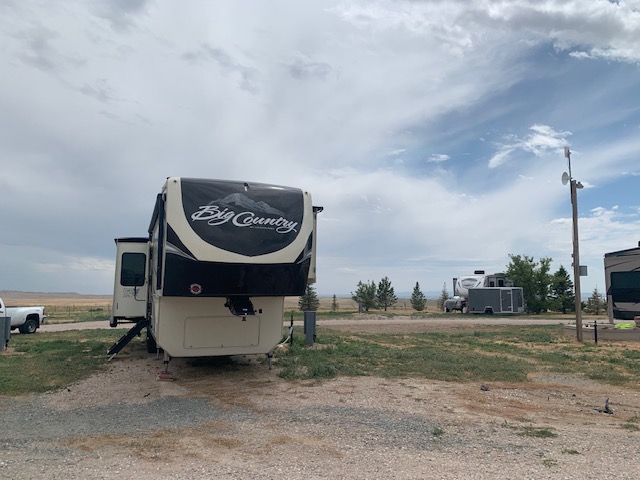
We are now at Peak View Rv park in Guernsey Wyoming. This park has only 17 spots, but full hook up. Traveled 250 miles south on interstate 25 today after leaving Peter D’s Rv park this morning. It was a pleasant drive. We are about 30 miles from Nebraska to our east and 100 miles north of Cheyenne. There are a few things to see here so we will. I am still in the process of completing my blog on the Custer battle, so hopefully soon.
With all the history of Sheridan and the Custer battlefield not being that far away, we decided to hire a local guide outfit to show us the history of the area. We were not disappointed. Mike Kuzara who owns and operates Thunder Mountain tours was our guide for the day. Mike was born in 1939, yep, he is 83 years old, and a true cowboy, his family homesteaded here in the late 1800’s. He is a true historian, still plays in a band, and knows everyone here. It was a great time meeting him and learning all the fantastic, and tragic history of the area.
Our Guide Mike
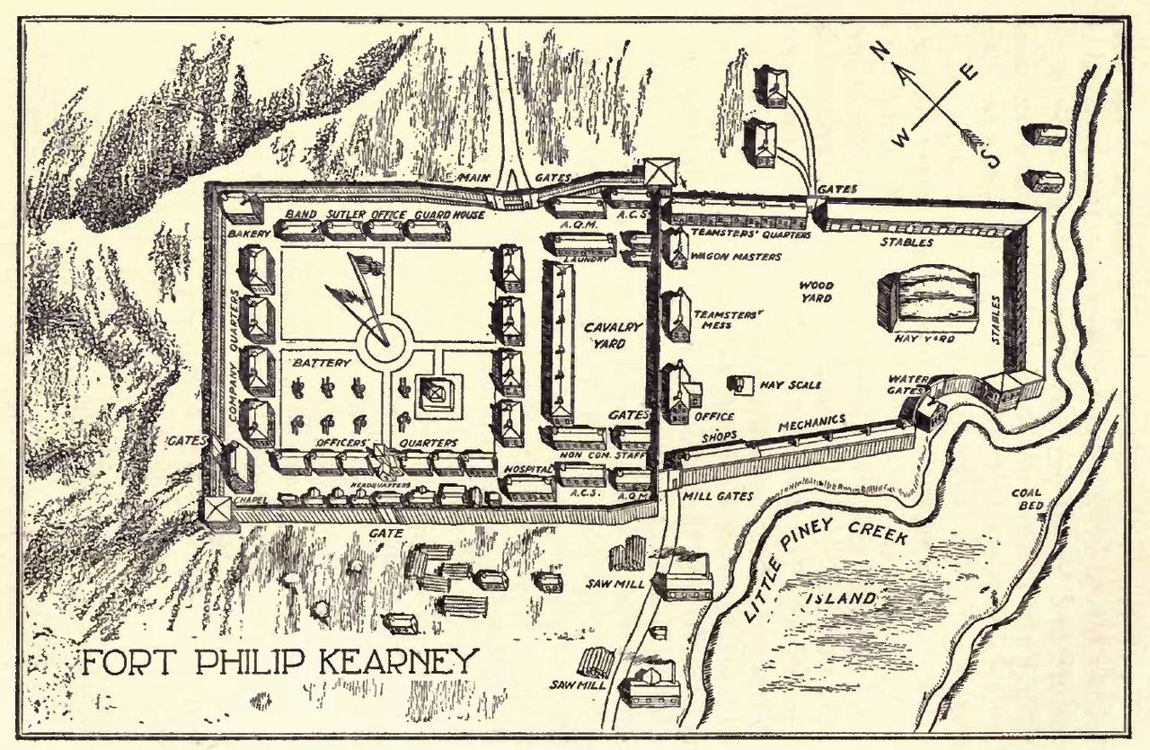
The Bozeman trail, similar to the Oregon trail, was put into use because of the gold discovered, in Montana, so it traveled northwest, unlike the Oregon trail which went west. It branched off the Oregon trail in lower Wyoming and skirted the east side of the Bighorn mountain range, following streams, rivers, low land. All the while being in Crow Indian Territory. For many years, they had no problems with settlers traveling through. Then in the early 1860’s the Sioux Indians came in and pushed the Crow over to the west side of the Bighorn mountains. The Sioux did not follow any treaties and soon settlers were being killed. The U. S. Army then decided to put up a few forts, along the trail, one being Fort Phil Kearny, near present day Sheridan, it was huge, enclosed in the 17 acres of wooden stockade, was everything you could have to run an efficient fort. The fort operated from 1866 to 1868 when the railroad came through and made the Bozeman trail, obsolete. The fort was abandoned and the Sioux burned it to the ground.
The fort’s 400 or so troops, were very little help in keeping the settlers safe, they were busy fighting the Sioux constantly. At this time the Army was still using muzzled loading rifles, while settlers and wagon train men had some henrys and other repeaters. Still the Sioux raided, pillaged and killed whenever they could. A few noteworthy battles were fought.
The Conner Battle, or Tongue River battle, took place just before the fort was built and was built because of this skirmish. Brig General Conner was sent on a campaign to suppress the Cheyenne, Sioux, and Arapaho Indians from all the raiding going on. they surprised a Arapaho village and attached and burned it to the ground. This enraged Red cloud chief of the Sioux and all three tribes banded together to fight the Whiteman, setting the stage for the next two years of bitter fighting.
THE FETTERMAN FIGHT OR FETTERMAN MASSACURE
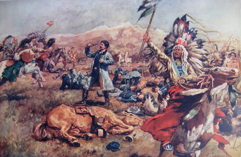
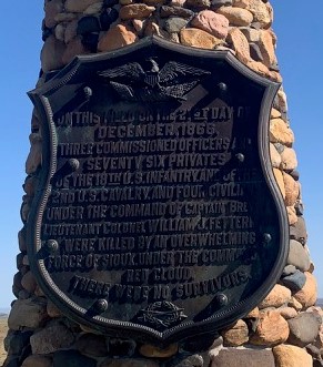
On December 21, 1866, a group of woodcutters out about two miles from Fort Kearny were attacked by a small group of Indians. Word came to the fort, and Captain William Fetterman was ordered to rescue the men. He took with him about 80 troopers, most raw recruits. When he reached the besieged wagon train, the Indians fled. They were led by Crazy horse, this was all a decoy and Fetterman fell for the trap, he pursued them to Lodge trail ridge where over two thousand Indians were waiting. It lasted only 30 minutes, all were killed, some having over eight or more arrows stuck in there bodies. They were then mutilated as was the custom of the Indians. All but one that is, the bugler when found was covered in a buffalo skin. Accounts say that he was the bravest as he had no weapon, and fought with his bugle only. The Indians as an honor left him alone and just covered him as was there custom for bravery.
WAGON BOX FIGHT
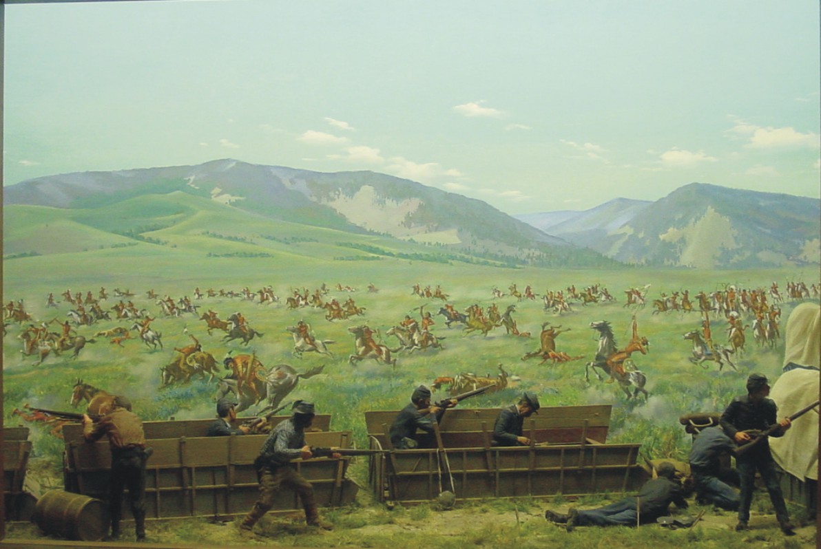
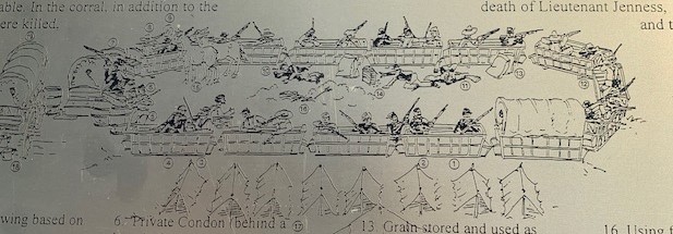
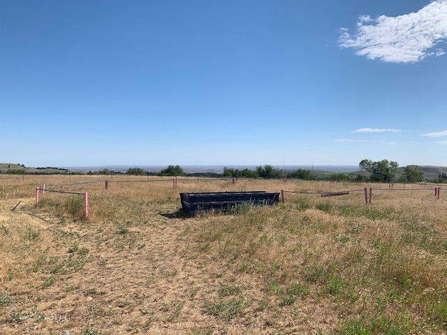
On August 2, 1867, a group of soldiers and woodcutters were camped down in the little Piney creek area, where they were cutting down pine trees to use for fire wood, stockade posts and the like. As was the custom, they took off the wagon boxes from the wagon and put them in a large oval, with all there supplies. The wagon carriages, without the wagon box were then loaded with the wood they had cut down for ease of transporting them back to the fort. A force of about six hundred Sioux attached the area, sending everyone inside the wagon box corral. This time the troopers had a new rifle, the breech loading rifle, able to shoot seven to eight rounds a minute as apposed to the one or two they could do with the muzzle loader they had earlier. This made all the difference in the world, with just about thirty men they held off a much larger group for hours until help arrived in the early evening, sending the Sioux on there way back.
There were many other smaller fights, they say that for the two years the fort was there, one person was killed every day on average. As I mentioned earlier once the railroad came in, the Bozeman trail became obsolete. Some treaties were signed and for the next several years, an uneasy calmness hovered over the entire west. This was only the first half of our tour, the rest of the day was spent in lower Montana, along the Little Big Horn river, where in 1876, General George Armstrong Custer would meet his end. That’s for the next post.