CAVES AND MAMMOTHS

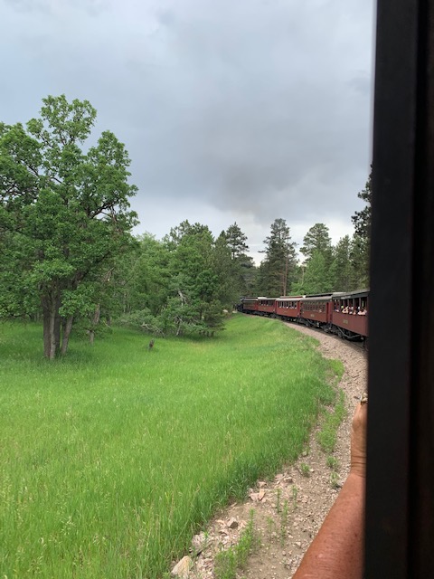
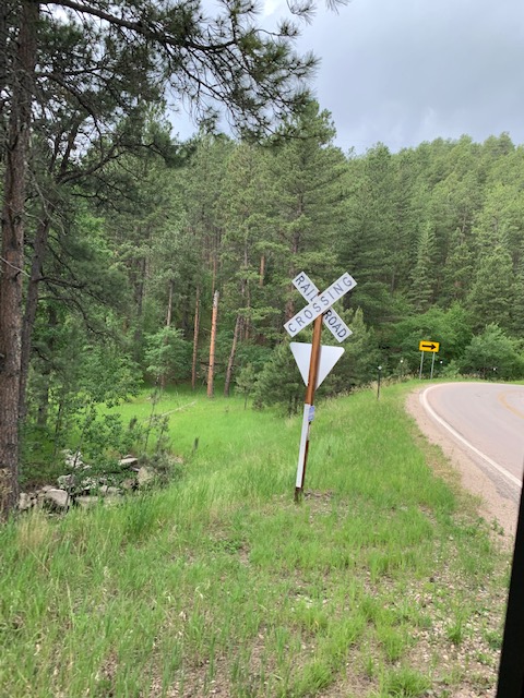
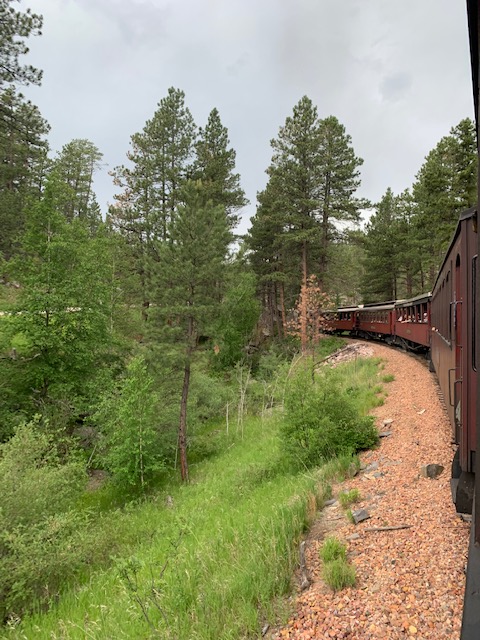
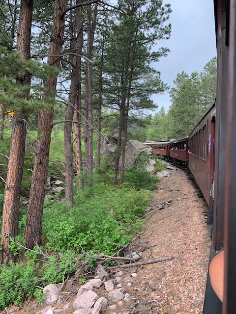
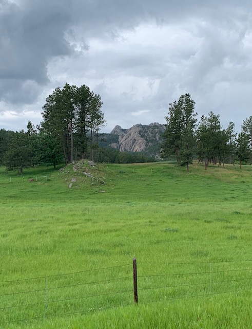
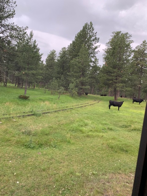
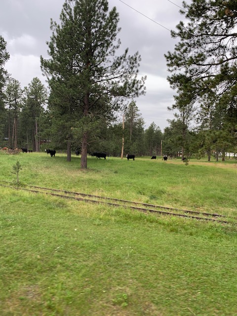
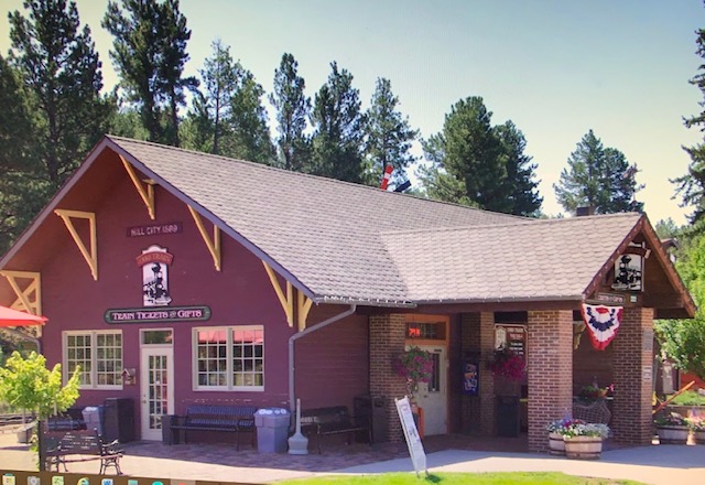
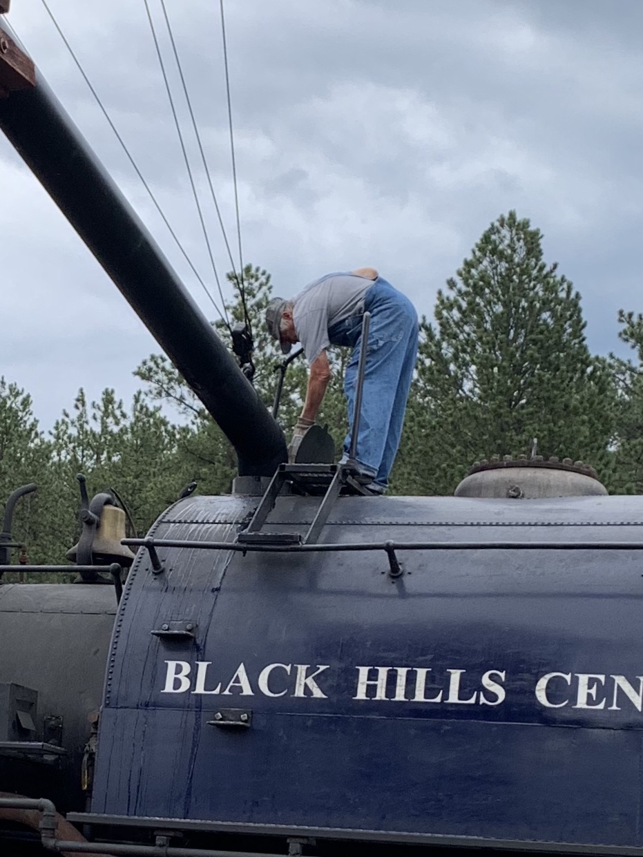
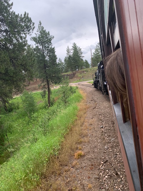
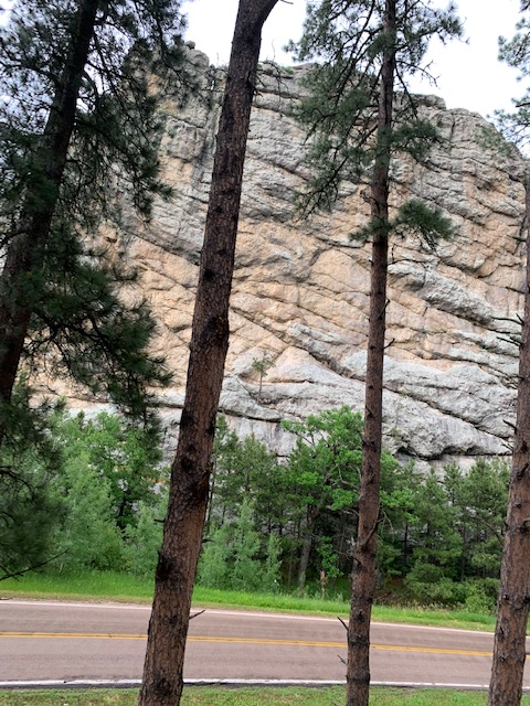
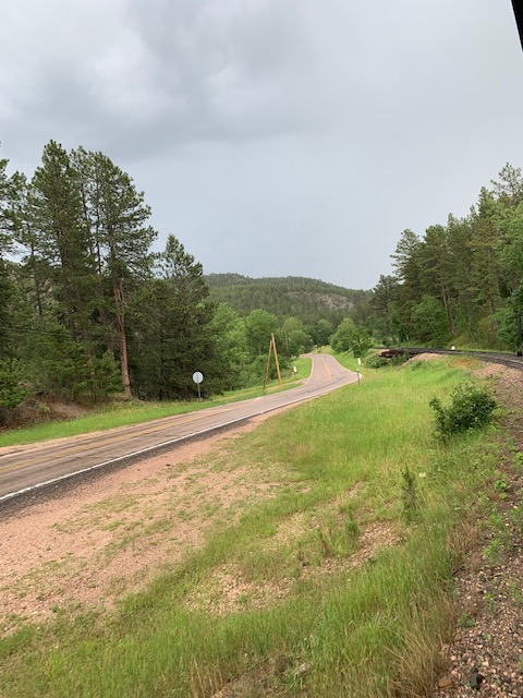
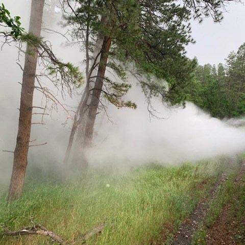
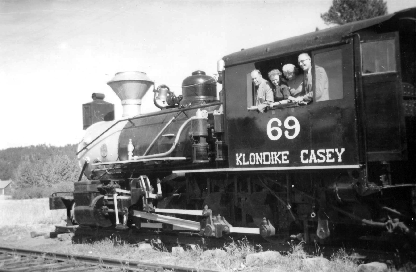
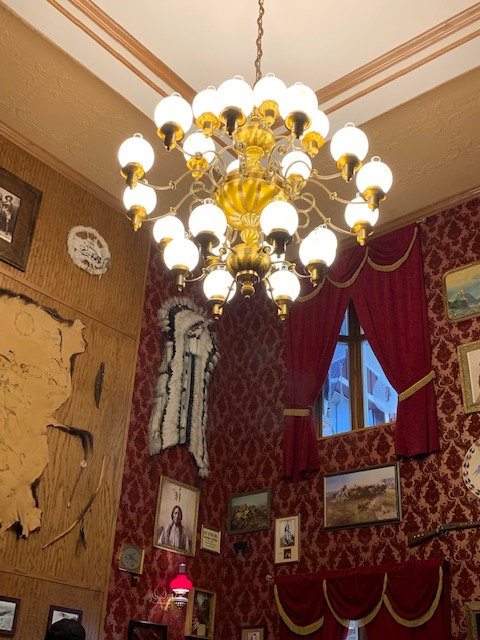
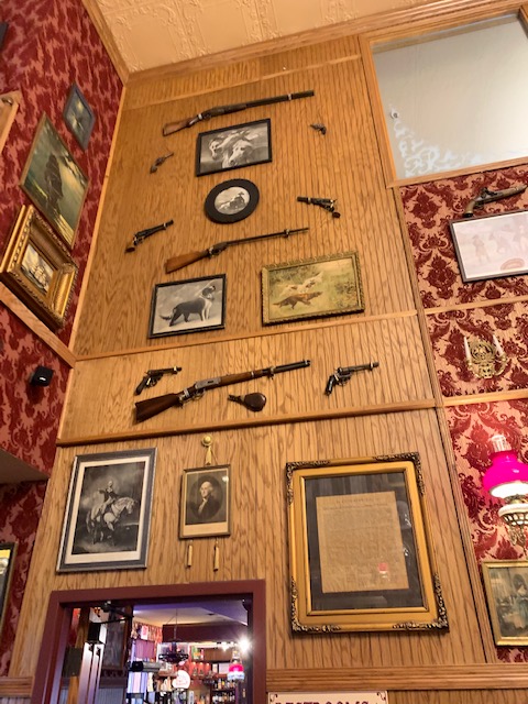
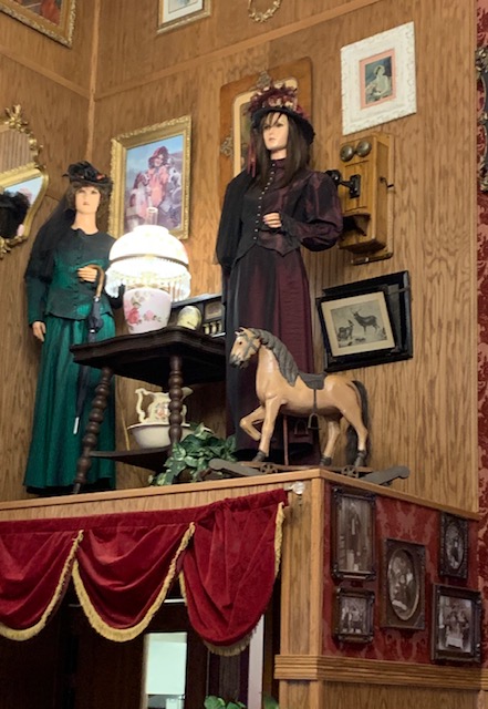
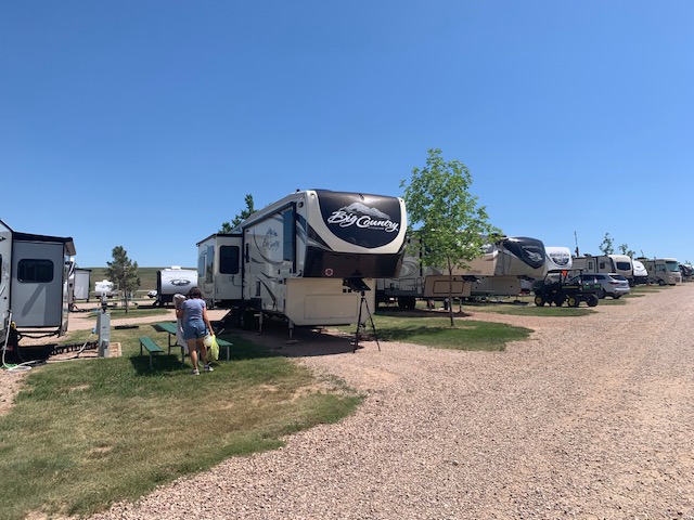
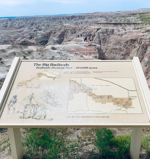
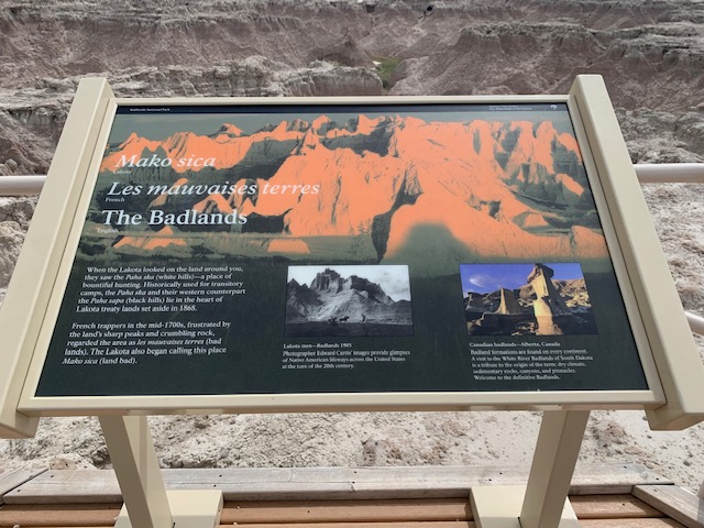
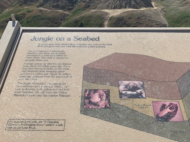
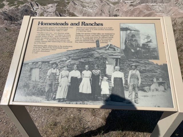
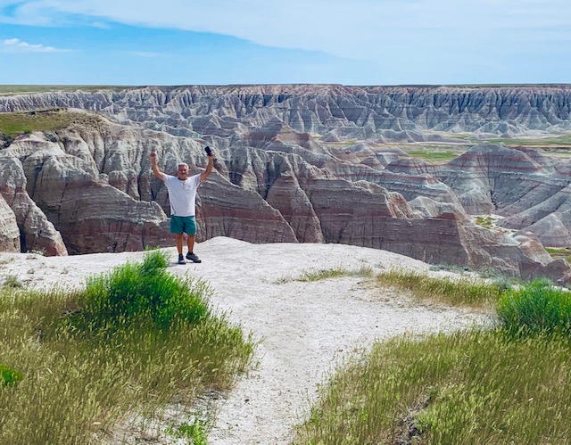
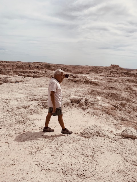
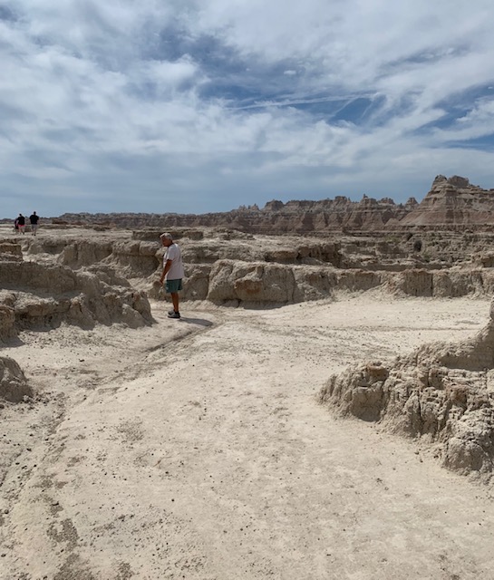
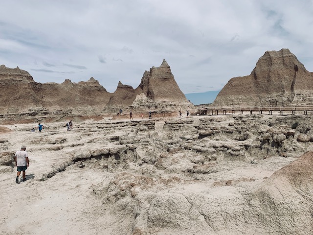
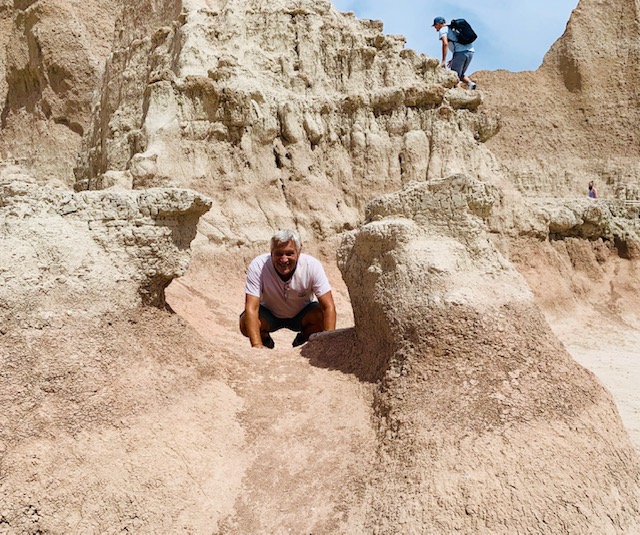
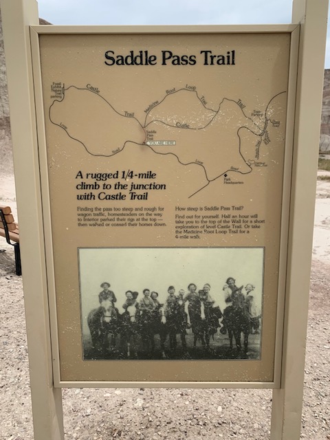
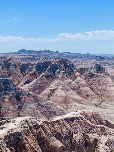
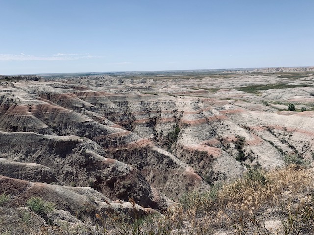
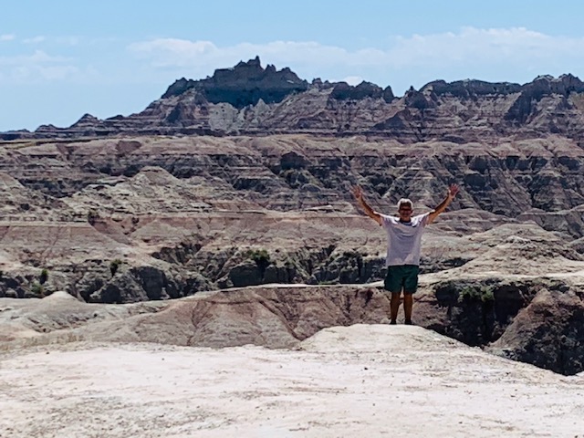
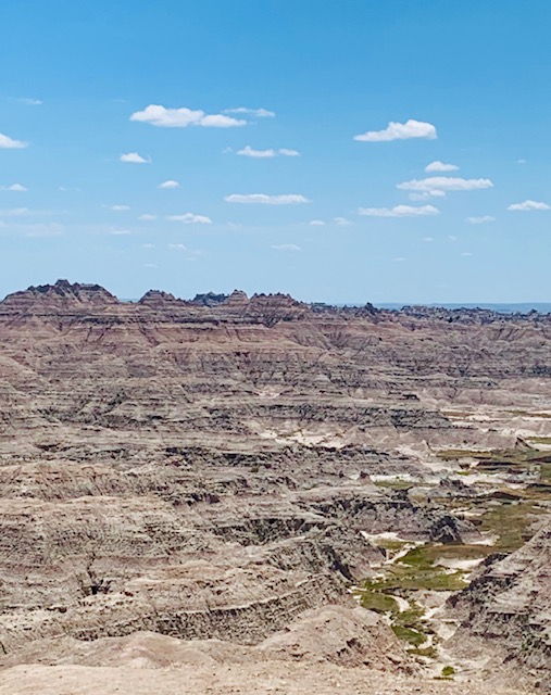
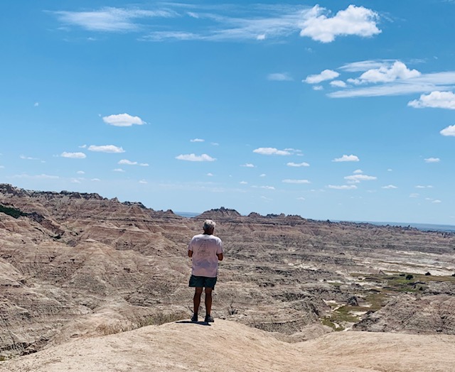
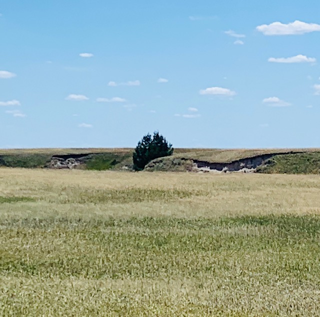
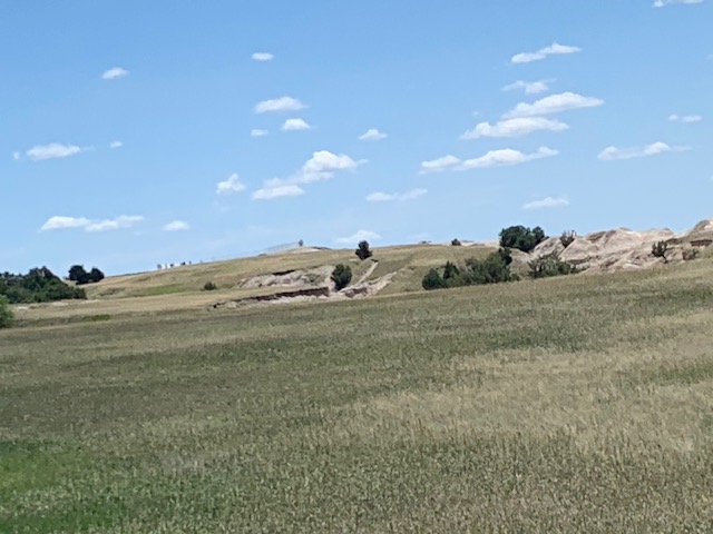
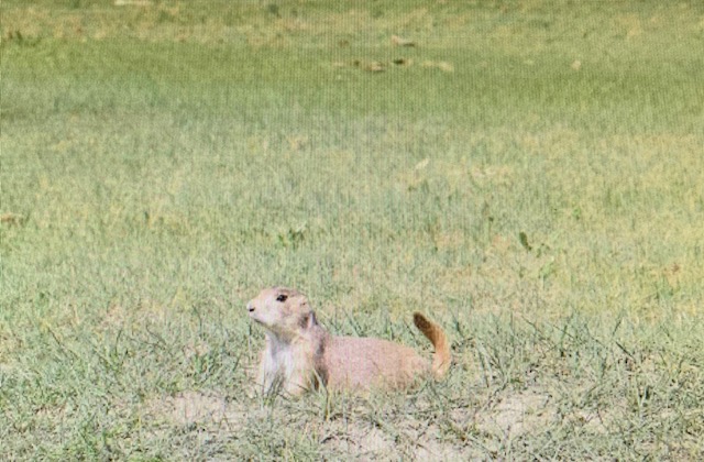
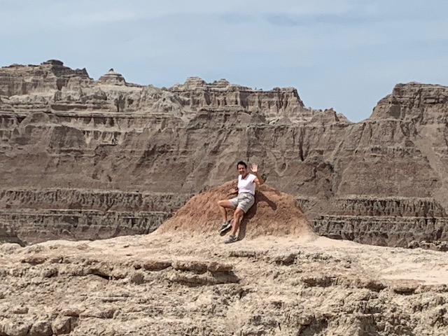
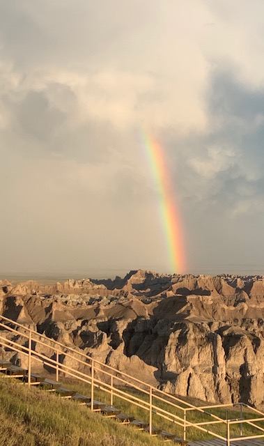
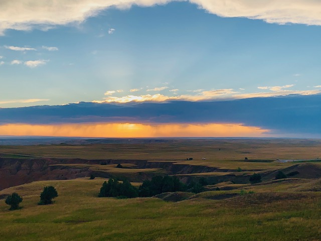
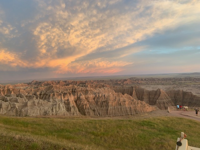
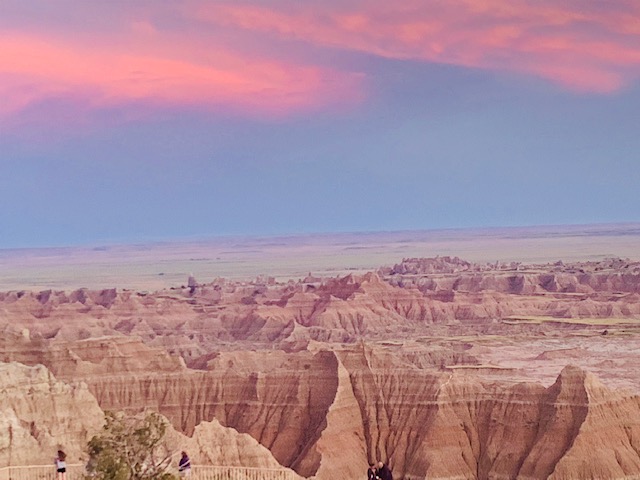
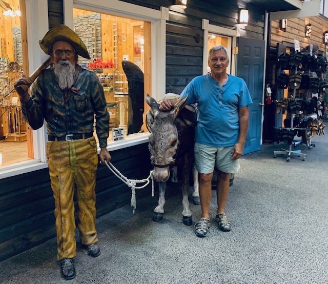
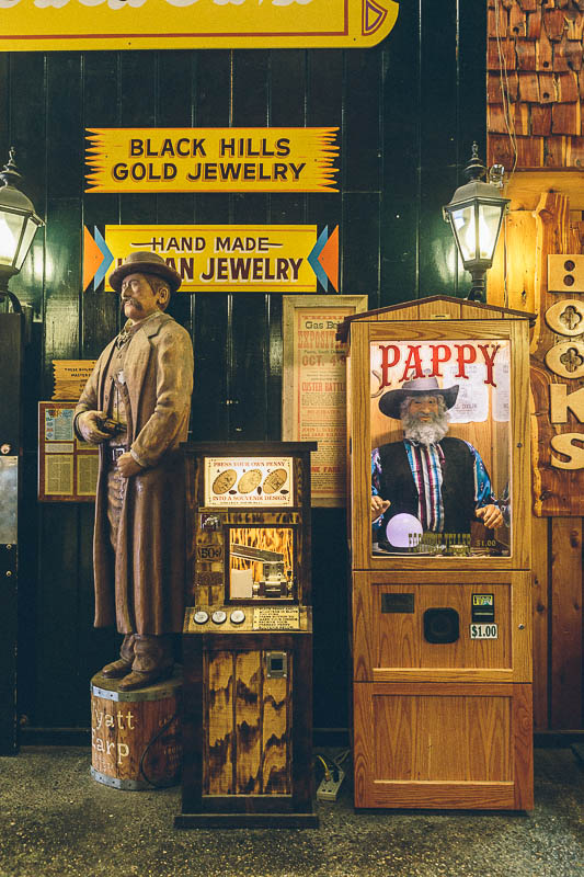
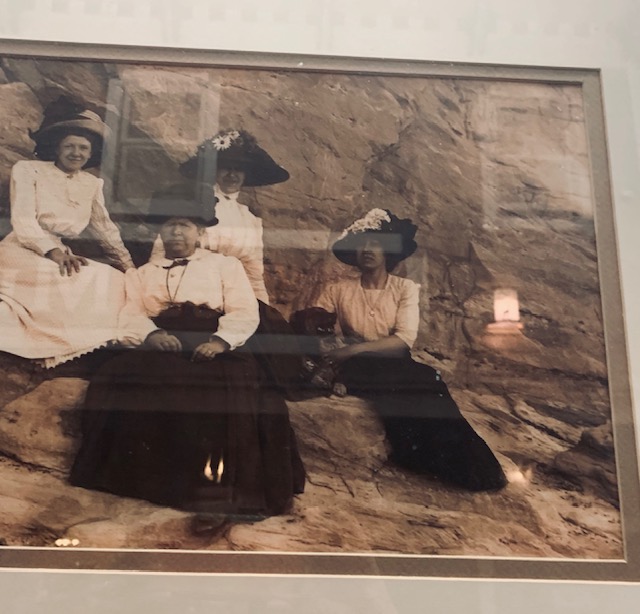
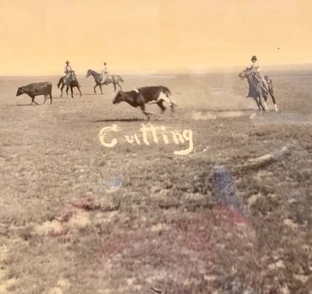
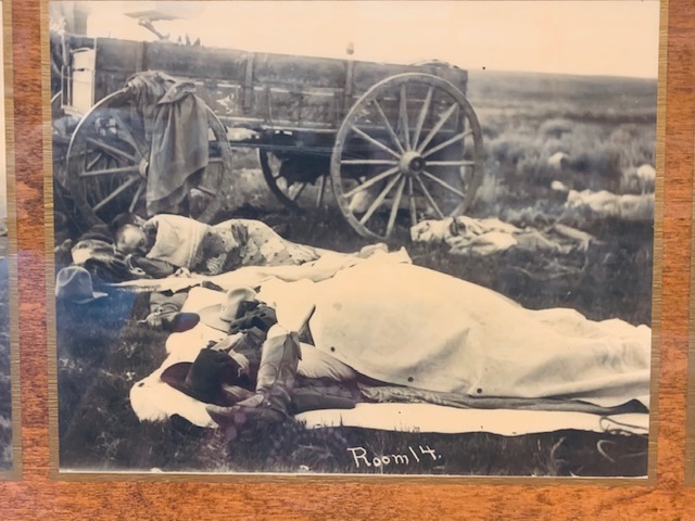
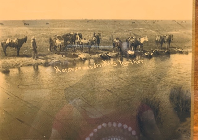
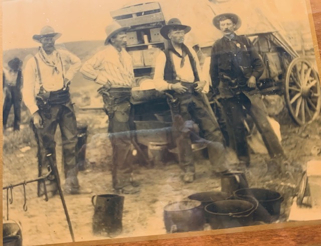
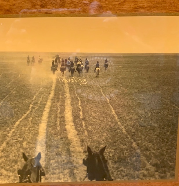
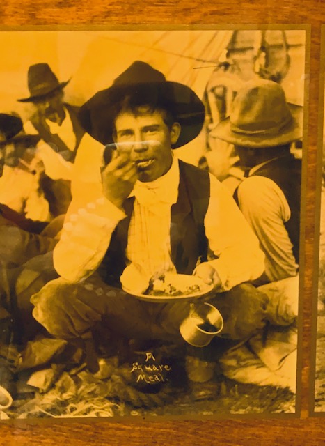
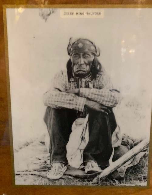
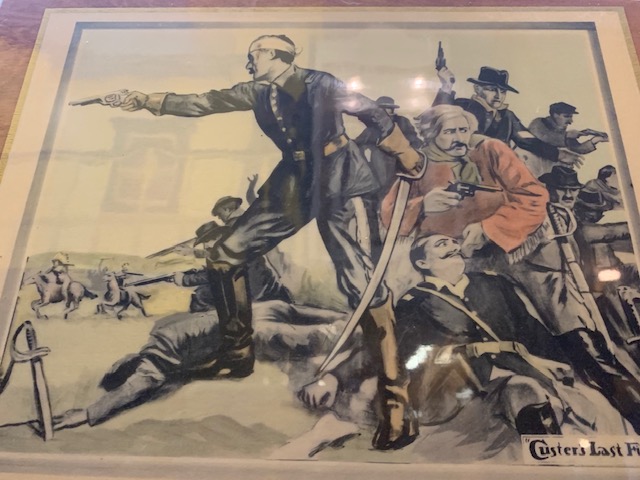
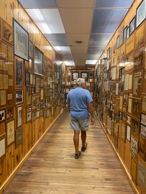
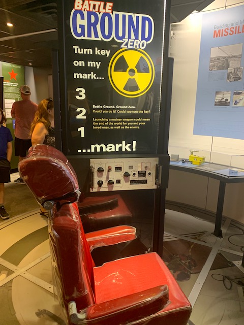
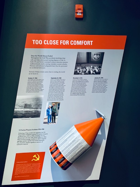
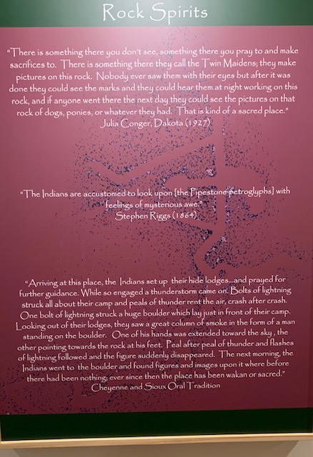
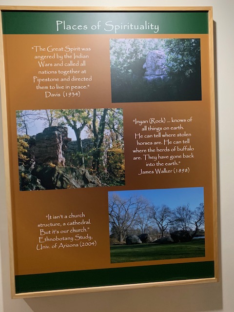
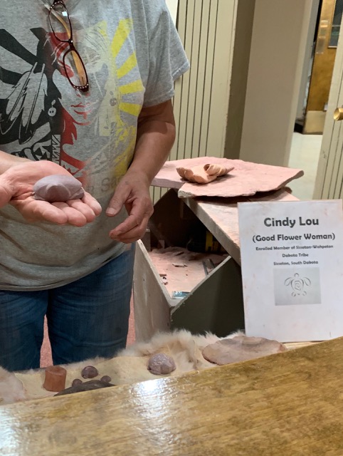
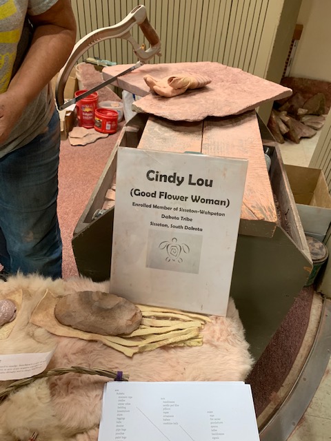
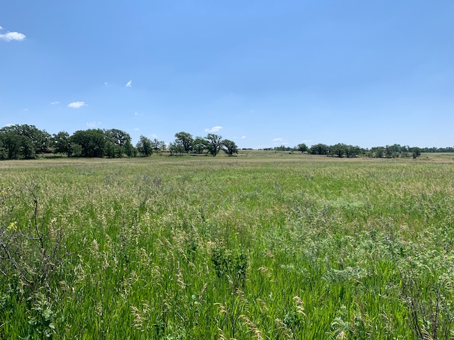
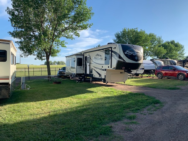
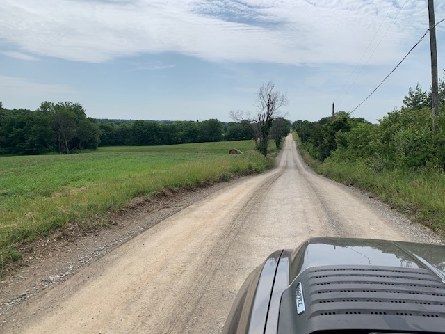
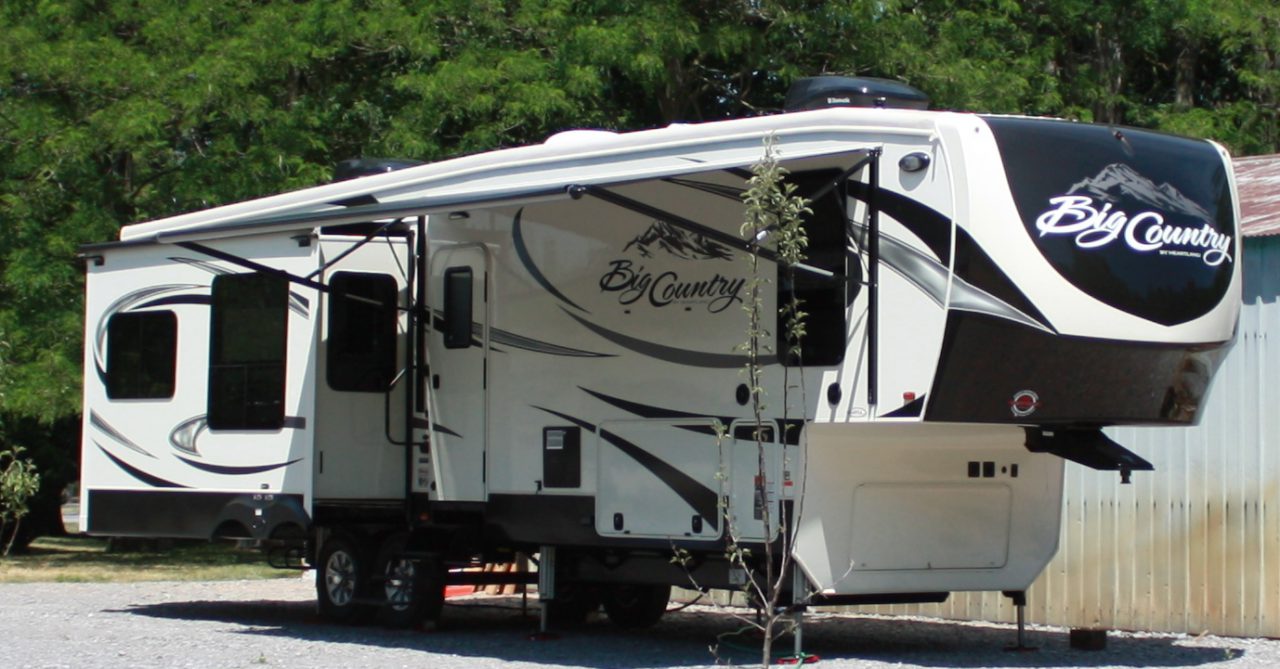
We have been very busy lately visiting the black hills area. Below are a few places we went so far. I have not gone in-depth or put in a lot of pictures, otherwise if I did the blog would be miles long. Suffice to say these places were awesome.

JEWEL CAVE NATIONAL MONUMENT.

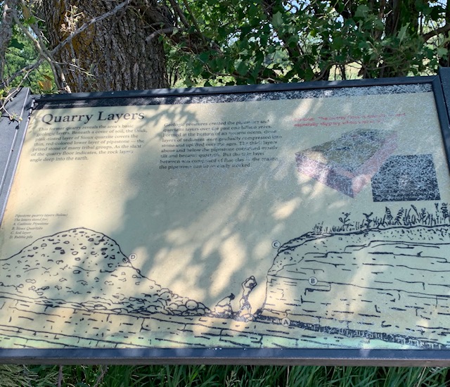
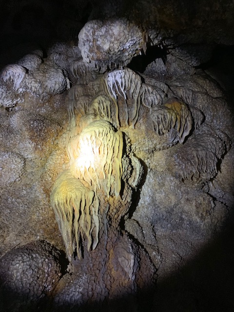
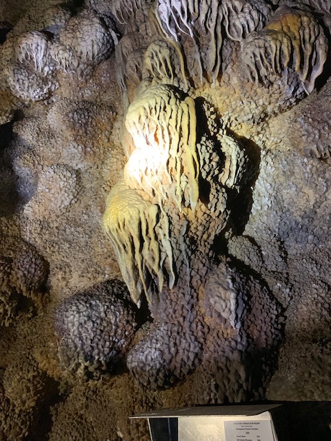
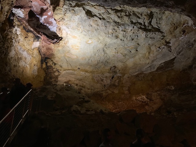
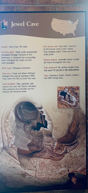
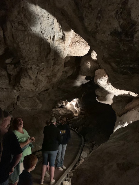
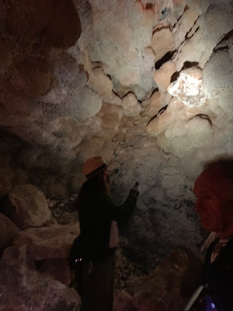
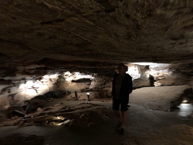
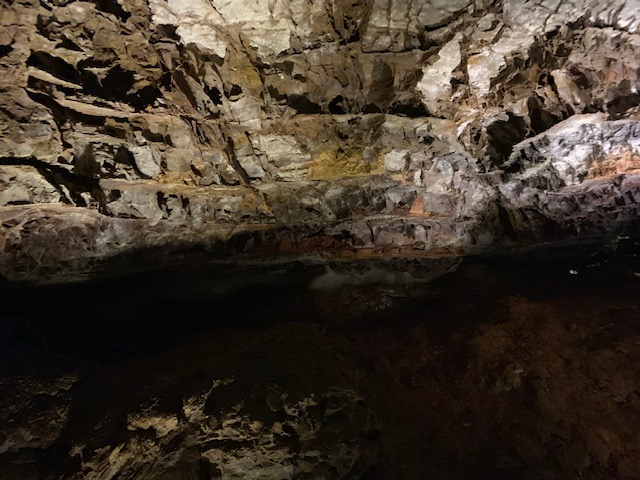
Jewel cave is much smaller above ground, than Wind cave at only 1000 acres or so, but has the third longest cave system mapped in the world ,at over 200 and some miles, which are spread over a vast area. It also is much more colorful as it’s name say’s, lots of brightness, and jewel like features.  The cave was Discovered by two prospectors in 1900. The cave entrance was too small so they blasted it open, upon entry found the beautiful formations of calcite crystals we see today. There venture was not to successful in bringing the public to take a tour. Upon hearing this President Theodore Roosevelt, decided to put this under the government control, by making this the Jewel Cave National Monument in 1907. In the 30’s the CCC, made many improvements to the area and the cave. It was turned over to the park service, and has operated that way ever since. In 1959 only about two miles of the current 200 plus miles were mapped. Tours were short then. In 1965 the park service decided to improve the caves again, now that many more miles of caves were discovered. They sank an elevator shaft 300 feet into the ground to an open area of the cave, put extensive walkways, and stairs in to allow for the current cave tours we have today. We took the Scenic tour, down the 300 feet in 44 seconds, up and down 736 stairs, and walkways to view the really cool formations in the cave. This cave has large rooms in it, and wider walkways than Wind cave did.

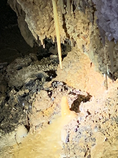
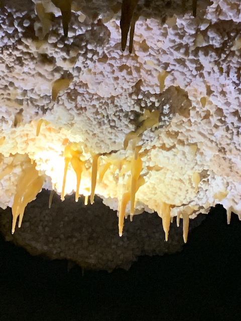
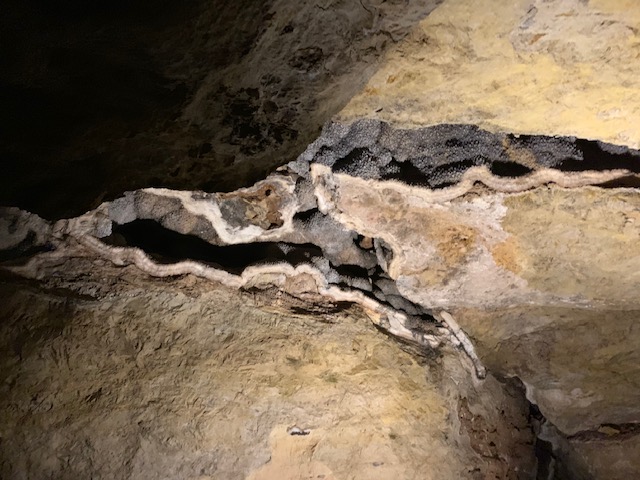
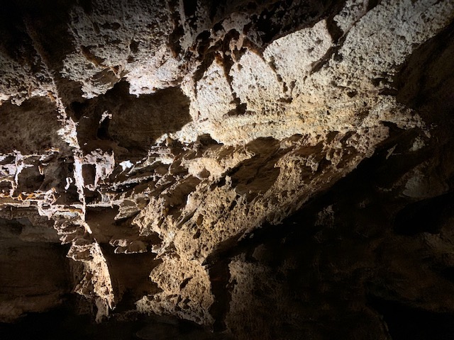
These are called draperies, as they look like drapes.

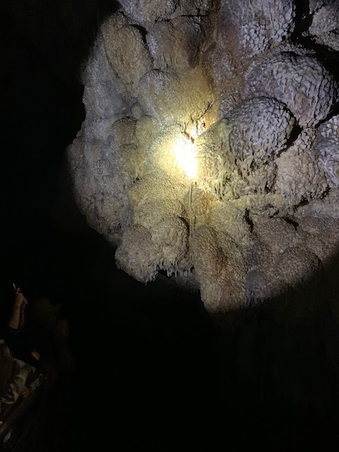
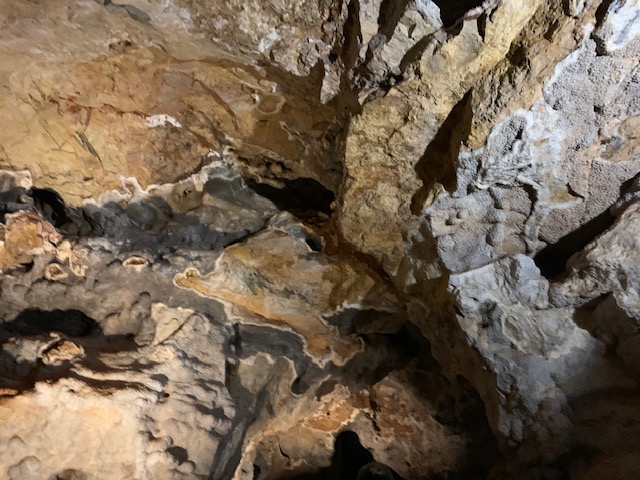
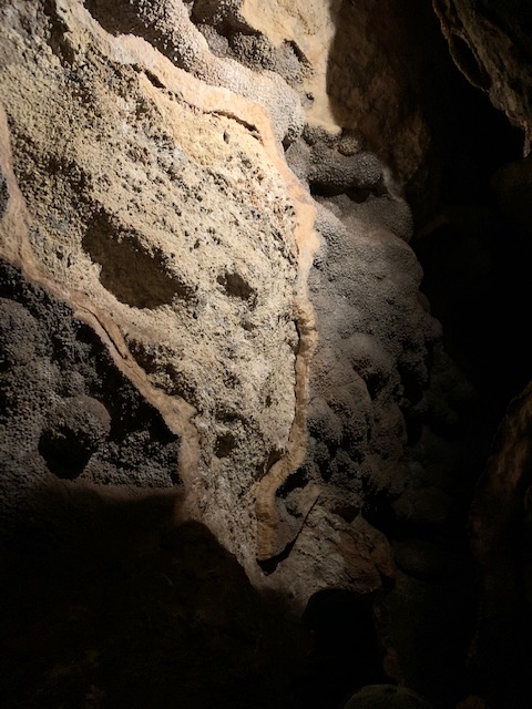
Most all the cave is covered in a thick layer of calcite crystles, which took millions of years to form. when they break off they expose the granite rock

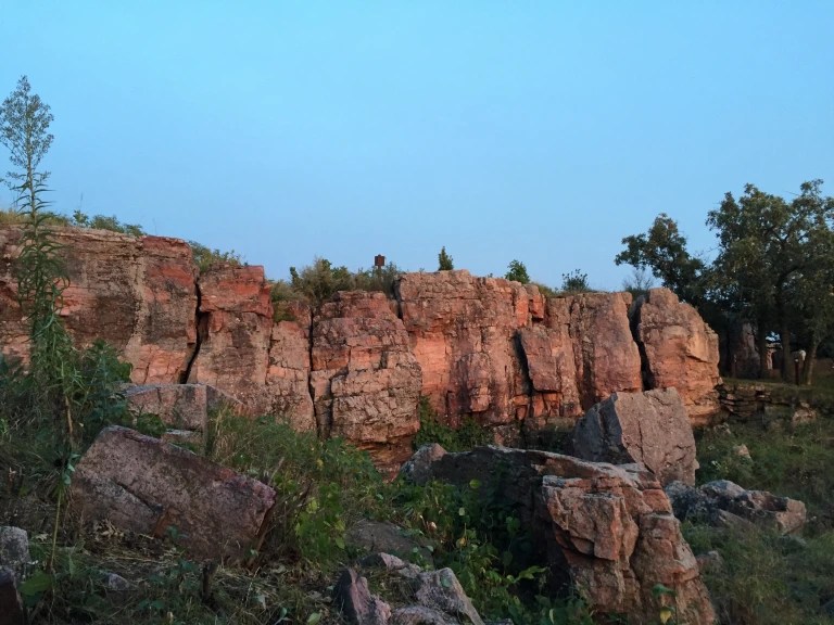
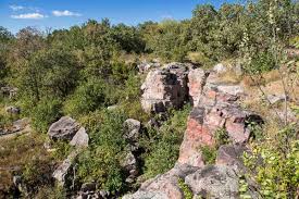
WIND CAVE NATIONAL PARK.

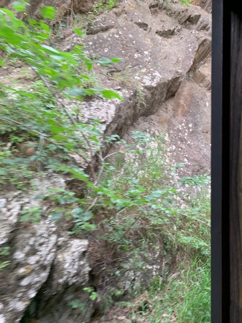
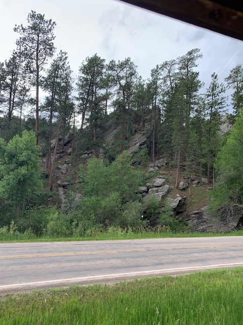
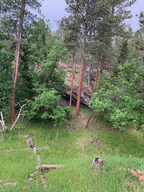
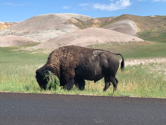
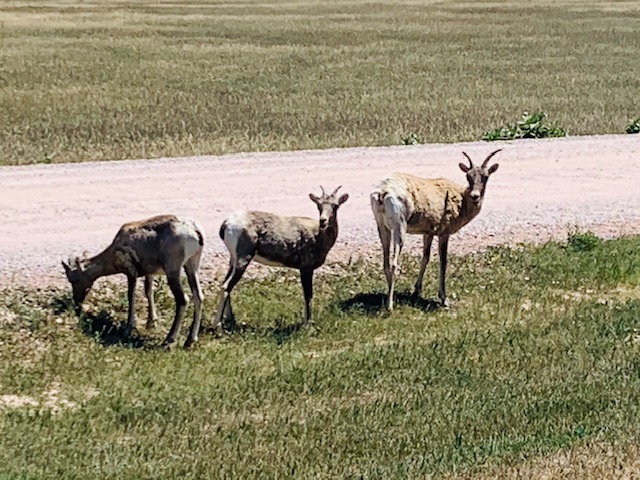
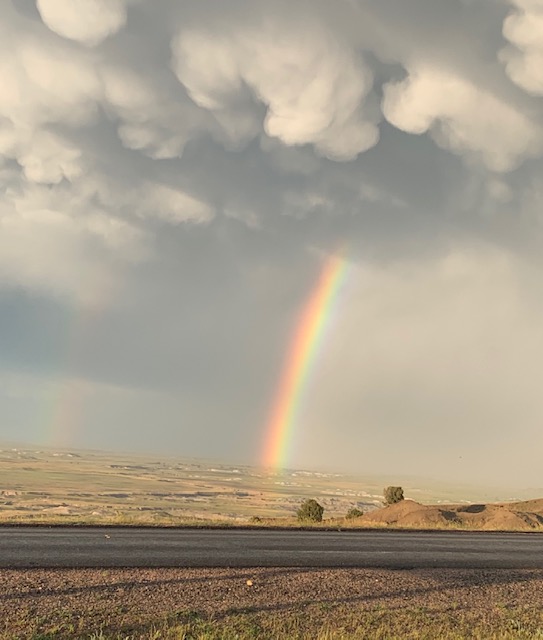
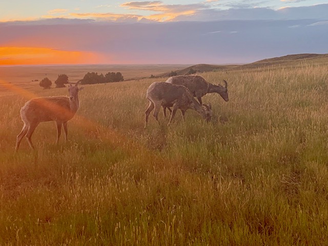
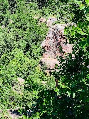
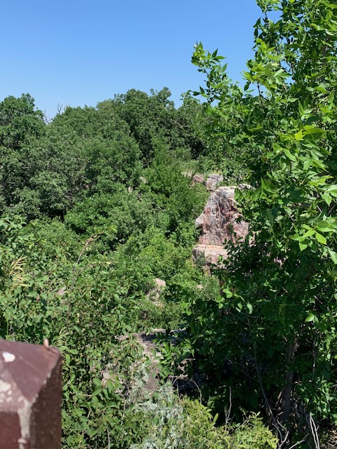
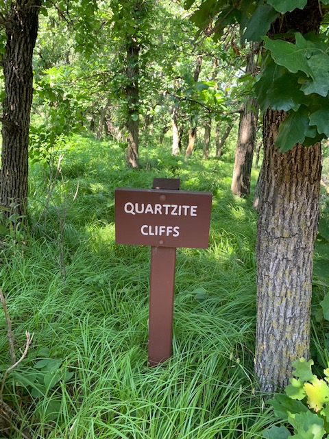
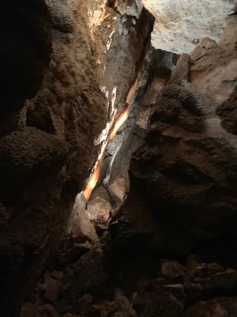
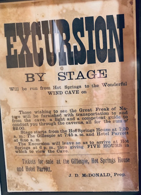
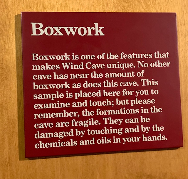
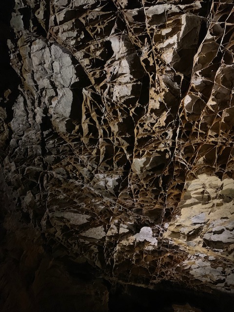
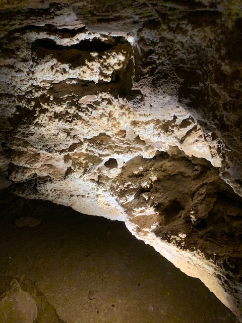
Sits just below Custer State park in the lower Black Hills. It is pretty big in land area at just under 34,000 acres. The area above ground is known for it’s bison, long horned sheep, Elk, and the like, below it’s the caves that are the spotlight. Over 100 miles of caves have been mapped here, with only a few miles of that open for cave tours. Active caving is always being done to map more of the cave system. This was a great cave to visit, we took the natural Entrance cave tour. The original natural entrance is only about two feet round if that, for centuries the Lakota people viewed this opening as a sacred place where the spirit world emerged from the Earth’s surface, and called it “Maka Oniya” or wind cave. Today, you enter a building and go down in an elevator 208 feet to the caves. Also this cave system is stacked rather than outwards, so many layers of caves trails are over each other by just a few feet. In 1890 the McDonald family moved from Iowa to this place on a land grant. Soon young Alvin McDonald found the cave, crawled through the narrow opening with just a candle and a ball of twine to find his way back, and discovered the cave. More and more passageways were discovered, which he mapped, he also keep careful notes, and named large rooms. After a while he began to gave tours of the cave. In 1893 he and his father went back east to promote the cave, he caught typhoid fever and died, he was only 20 years old. For years after the cave saw little use, and a bitter court battle ensued with the McDonald’s and a business venture that said they owned the land. The government finally stepped in and in 1903 President Theodore Roosevelt, made this the seventh national park,  and the first cave to be a national park. The cave is notable for its calcite formations known as boxwork, as well as its frostwork. Approximately 95 percent of the world’s discovered boxwork formations are found in Wind Cave. Boxwork is formed when rock crushes each other, it forms fishers where minerals and calcite flow into and harden. While we were in this cave we were alerted about a very bad storm above ground with 60 mph winds, heavy rain and hail. When we got out about two hours later. There was pebble size hail all over in piles.I HATE hail.

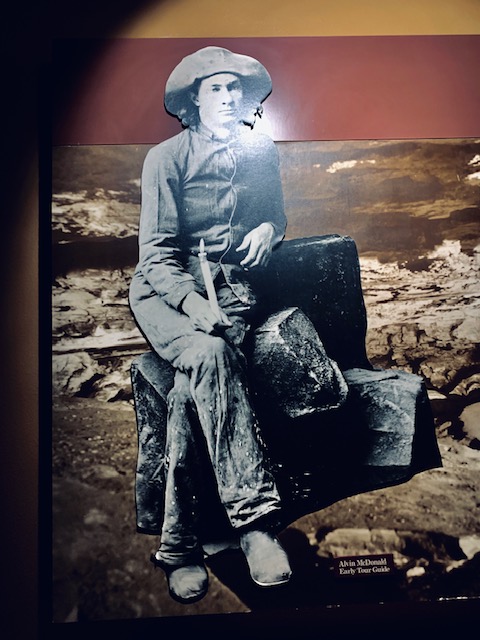
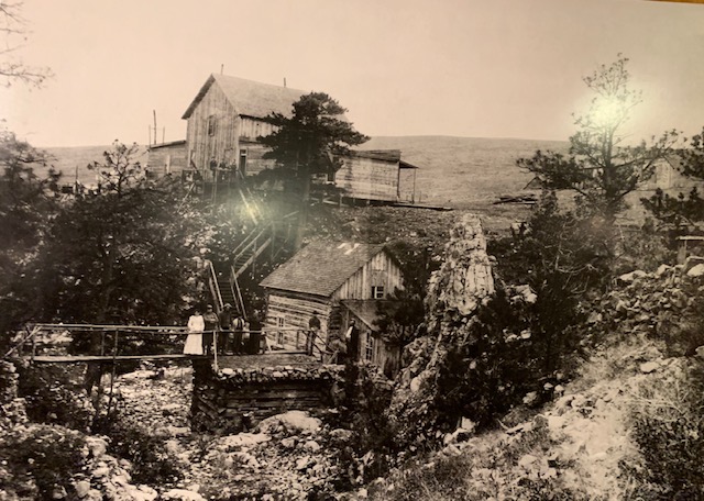
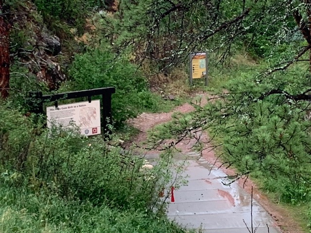
Alvin McDonald, notice he built a small house over the cave entrance in the hill

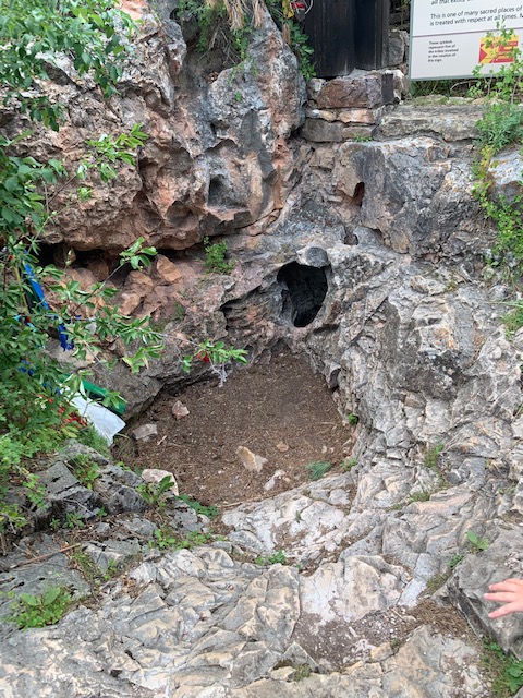
Original cave entrance as it is today, Alvin brought visitor’s for a tour through that little hole.

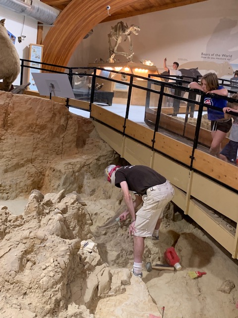
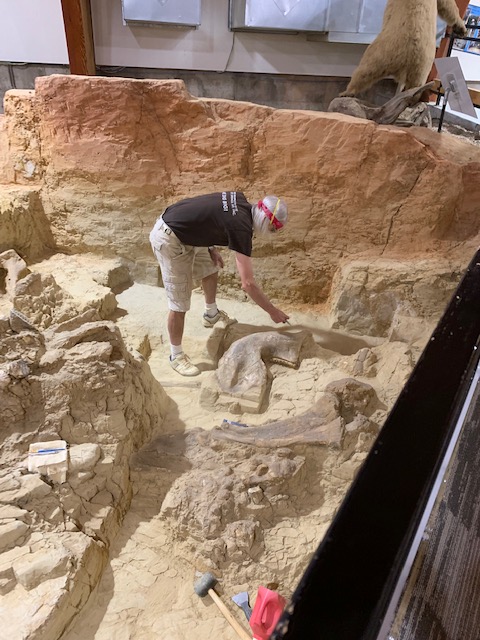
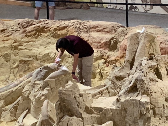
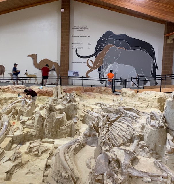
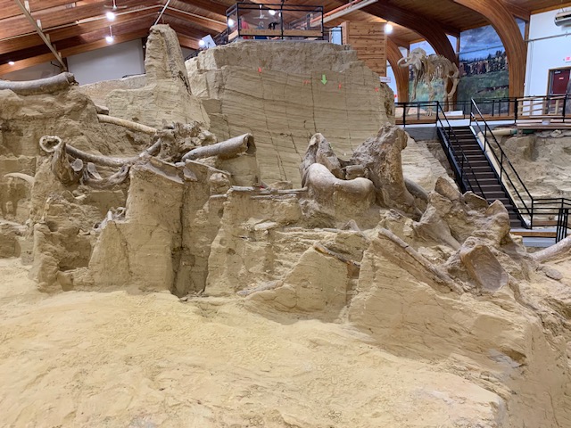
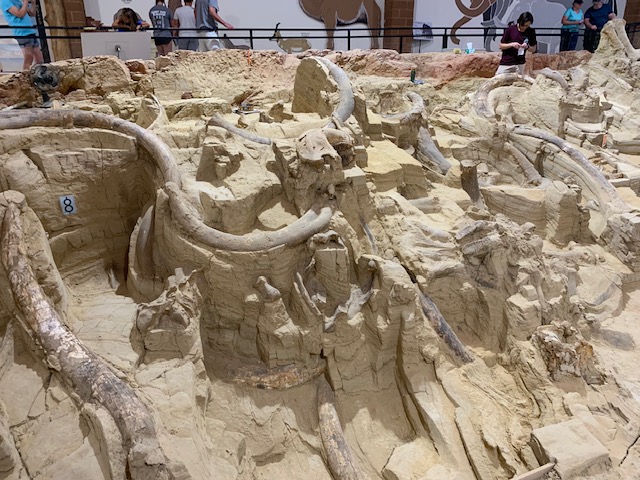
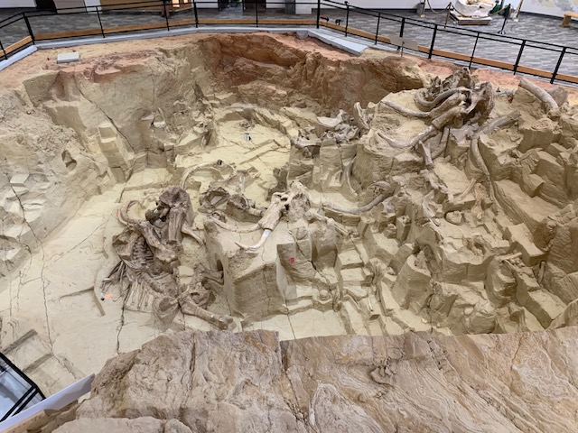
HOT SPRINGS SOUTH DAKOTA, HOME OF THE MAMMOTH

Yes, there is a hot spring in Hot Springs S.D. , but today that is not what the draw there is about. I’ll tell you that in a minute. The hot springs began bringing in people in the mid 1800’s, a small town grew around, bring sick people in to help cure them in the warm springs. Most all of the Town’s buildings are made of sandstone blocks, which are very cool looking. After WWI, veteran’s came here, in an effort to help cure them from battle fatigue and injury. Veteran’s from all over came, so a large veteran hospital was built, thus becoming the first of what today is known as the Department of Veterans Affairs. They still come today. The town is pretty small, sitting in a small valley next to a creek where the springs feed into. Up the hill about a mile away is what todays draw to the town is.

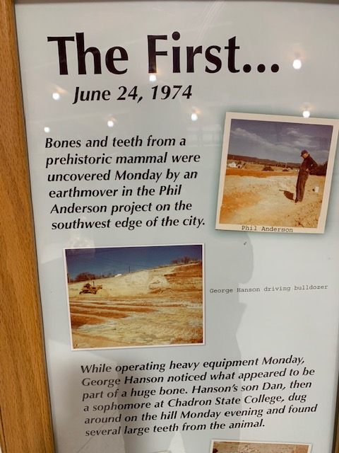
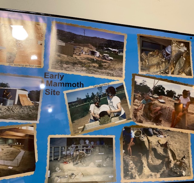
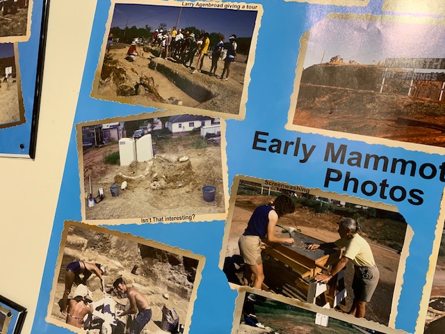
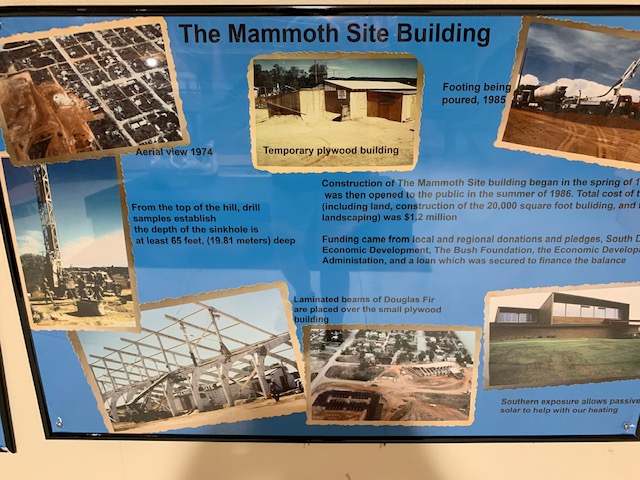
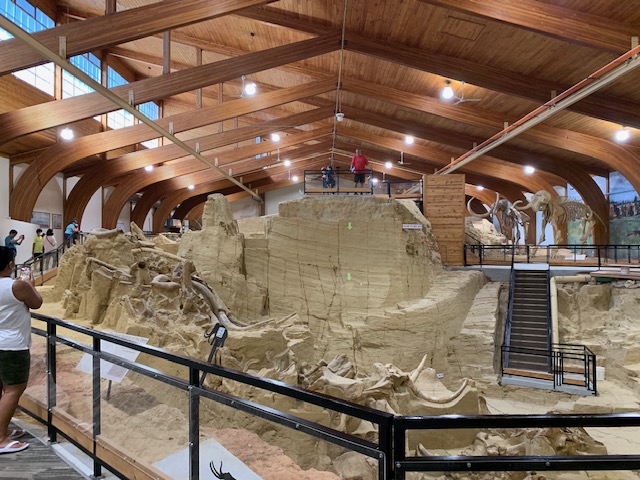
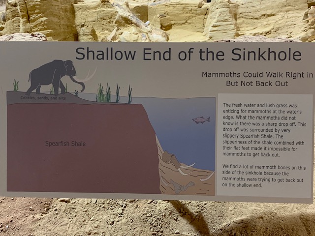
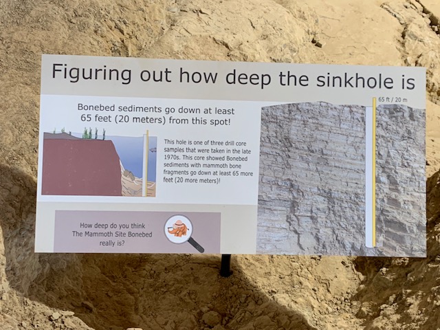
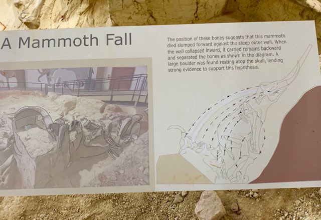
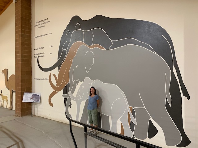
In the summer of 1974, a lonely bulldozer sat atop a small sixty foot tall hill, maybe two hundred feet in size. The operator got on board, fired it up, and started excavating for a sub division, within five minutes, his dozer was shut off forever. WHY, he and his crew had noticed a large amount of LARGE bones, and ivory being dug up. After a few days, experts were there, and after careful study found the bones to be from the Wooly Mammoth. After a summer of digging and finding many more bones it was determined these were the bones of the much larger Mammoth itself. For the next several years, the dig site got larger and deeper, with amazing finds, and in 1980 the site was declared a National Natural Landmark. A nonprofit was started, along with outside tours given. In 1986 a huge building was built over the dig site, preserving it from the weather. As we toured the site, which is an active dig site in progress, we were just amazed, over 60 Mammoth are in this hill, probably many more. HOW, you ask did they get here, well 140,000 years ago this hill, was a sinkhole, filled with warm water at that time. The outer edge of which was surrounded by red spearfish shale, which is very slippery when wet, so as the Mammoths got close, they fell in unable to get out, so they died sank to the bottom, decayed, and over thousands of years, sediment covered them and the pond over. Also at this time, with wind, rain and erosion, the area around this sinkhole with the red spearfish clay, eroded, so what was a sinkhole, now in our time has become a small hill. The site is not even one half dug out yet , all bones are in place as is covered in a chemical to keep them from deterioration. They are also not petrified, as the pond water slowly dissolved the minerals in the bones, so they are very fragile. This was a really fascinating place to visit. Makes you really think about time, which we humans have so little time of.

Welcome aboard the Black Hills Central Railroad 1880 Train!

Dave & I like trains so we drove to Keystone to ride an old steam train. The 2 1/2 hour roundtrip adventure took us through the South Dakota Black Hills between Keystone and Hill City.

They use water and recycled oil to power the engine, which creates a lot of white smoke.  

 The Black Hills Central Railroad restores early twentieth century-era locomotives and train cars and the train has been featured on television shows such as the Gunsmoke,  “Snow Train”, General Hospital and the TNT mini-series Into the West. It also appeared in the movie Orphan Train.  Quite The Celebrity!

Since the Black Hills has many changes in elevation, the train has to maneuver 4 – 6% grades, which is very difficult for any train, actually it’s the third steepest railroad grade in the country. It goes through some of the oldest rock formations, near the highest peak East of the Rocky Mountains and along the back side of Mount Rushmore. 

Keystone Depot where we got on.

ALL ABOARD !!

The route it takes is the one built by the Chicago, Burlington and Quincy Railroad in the late nineteenth century when the Black Hills were undergoing a mining boom.  The first steam engine arrived in this area in 1879, five years after the gold mining boom began. The route the 1880 train follows was built during the 1890s. These rail lines were also used to haul materials to Mount Rushmore during its carving in the 1930s. Commercial use of this route stopped in the early 1950s.

Our 1st stop Hill City train depot

Last picture the Engineer is putting the recycled oil & water mixture into the engine. We got aboard and headed ack to Keystone.

The train had to left off some steam. Quote for the day:  “The introduction of so powerful of an agent as steam to a carriage on wheels will make a great change in the situation of man.” – Thomas Jefferson

As steam engines were being replaced by diesel engines, a group of local railroad men decided to do what they could to preserve the heritage of the steam locomotive. But they did not want to limit it to a non-functioning display that would only be looked at as part of a museum or park.

The Black Hills Central Railroad opened to the public in 1957 with a steam engine and two open-air passenger coaches. It is also called the 1880 Train because one of the founders believed it would give folks the experience of what it was like to ride on a passenger train during the 1880s.

Today, the Black Hills Central Railroad owns three steam locomotives, two diesel locomotives, and twelve other cars.

It was really a neat experience riding on the train, we let them do the driving and navigating! It was also neat to hear the train whistle blowing and the clatter of the train going down the tracks.

We had dinner at the Ruby House restaurant in Keystone, which was very nice.

RAPID CITY SOUTH DAKOTA

We are now at Heartland Rv park, on the eastern side of the Black hills just below Rapid City south Dakota. Only drove 71 miles today from Wall SD. Here for two weeks, exploring and seeing all there is to here in the Black Hills. Rented a car for one week also, while not the cheapest will save wear and tear on the truck. Our spot

BAD TO THE BONE

The Badlands that is. We went to the Badlands National Park two days, Why, well the first day we did all our hiking and before we knew it it was late. We do not like to leave Cooper in the Rv more than five hours, so we went back. The second day we did all the overlooks and pull offs with Cooper with us. I have to say this is an awesome place.

THE BADLANDS or “Mica Sica” as the Lakota Indians named it, was formed over 1million years ago, with uplifts in the earth, volcano eruptions, and massive movement of rock and stone to create an over 60 mile long shelf or wall formation. Around 500,000 years ago water began to cut down through the rock layers, carving fantastic shapes into what once was a flat floodplain. Ancient fossil soils, buried for millions of years, once again were exposed. Erosion, and rain, drive the ever changing landscape as more sediment is washed away. In human terms it will not change, but in another 500,000 years, they will erode away. As we traveled the over 30 mile park roadway, it is hard to grasp what you are seeing, moving, and changing colors of rock in layers all over. Then you come to the plains area, and next to it the plain has eroded into deep gullies, and towering spires all over. As you peer into the depths and prairie lands it just goes on and on. We saw a lot and the pictures don’t even come close to really show what you are seeing. We got to see a Buffalo right along the side of the road, munching on grass. Cooper gave a bark , he looked at us as if to say go away. Then we saw some long horned sheep, and the ever present prairie dog, they are cool. We also saw an active fossil dig site, someone a month ago saw a femur bone sticking up ,and now it is a full scale dig site. They believe there is a full skeleton of the ancient big pig, which stood over six feet tall, that was cool to see. We spent about 11 hours in the park, it was a great adventure.

Tatonka, or buffalo, right along the road, how cool.
The best pic of the bunch

Checked out the Badlands at 8:00 pm, it just rained so we didn’t get sunset pictures like we wanted, but what we did see was a double rain bow!

We really enjoyed our time spent here!

The story of Wall Drug began in 1931 when Nebraska native Ted Hustead, a Pharmacist, and his wife Dorothy  bought the only drugstore in a town called Wall.  In the beginning, times were tough, so the Husteads resorted to make their own signs advertising “free ice water” to weary interstate travelers driving to and from Mount Rushmore. Then Presto . . . People came.

More & More people began coming because of all the signs, and now the pharmacy was growing and including other stores. These are only a few of the signs they have along the thru-way and all over.

In addition to their signs and billboards around South Dakota, signs for Wall Drug began popping up around the United States and other countries, including one placed by Ted in the London Underground advertising that Wall Drug was only 5,160 miles away and that if they wrote, he would send them information on both the store and state.

Before long, it was time for Wall Drug to expand, which is when they moved into their famous 76,000-square-foot building that an estimated 2 million people visit each year.

Old Wall Drug

The new Wall Drug and it still has a pharmacy inside.

We couldn’t resist Bill.

The very best part of Wall Drug’s is that it has an incredible “Famous Art Gallery.”  The collection includes 320 original paintings by some of the most celebrated artists of the Golden Age of Illustration. There is even a paintings there by Gutzon Borglum, the sculptor of Mount Rushmore. There were signs all over saying don’t touch or take pictures of the paintings, I couldn’t resist a couple of times. The photographs they didn’t care, and their great also. There is just something about Cowyboys!

Dave liked the coffee and it’s still 5¢.

And you still get Free Ice Water.

What began as a small pharmacy has changed into a South Dakota institution that has everything from restaurants and donuts to shopping and photo ops.

LAUNCH SEQUENCE STARTED.

In the plains and wide open spaces of South Dakota, where we are and a few other states out west there lurks a danger hidden in plain sight. Since the late 1950’s there have been over a thousand minuteman missiles hidden in silo’s, ready to be launched at any time. Today we went to the Minuteman Missile National Historic Site. Set up in the early 90’s after a worldwide treaty, between the United States and Russia to reduce it’s missile supply. This was a really eye opening visit, learned a lot and went away with a feeling of how mankind has figured out a way to kill us all. Now there are only about 500 Titan III minuteman missiles around. In Wall, where we are there is one base nearby, with a unassuming house surrounded, by barbed wire, guarded day and night. While below 60 feet in the ground is a launch control room, manned by two people round the clock, waiting. Surrounding them are 10 silo’s each carrying a Titan III, with three, 10 megaton warheads attached, ready to launch, if word came from the president. I don’t like that. We also went to the Delta 9 site, which houses a real Titan II minuteman missile. From the glass dome above you can peer down and view the thunder of death. With it’s solid fuel inside it would only take thirty minutes to travel 5000 miles to it’s intended target. There have been about twelve close calls, the Cuban missile crisis a big one, but one in 1973, when the U. S. radar screens lite up with multiple missiles launched, from Russia, only a few minutes later realizing someone put in a computer tape of a training simulated attack. Also one in 1983 on the Russian side, where the commander was ordered to fire on the U. S. . He disobeyed this order, hesitated and figured out there was a glitch somewhere, and fixed it. He was stripped of his command, and cast aside for his actions in saving the world, go figure.

This is the 70 ton blast door that would slide open when the missile was fired, the top part is for display only , so you can see into the silo. The badlands is in the distance,

Did you have to duck in cover under your desk in school?

THE BADLANDS BABY

We are now in the Badlands area of South Dakota, staying in Wall at the Sleepy Hollow campground for a few days. We are finally here, YES. Drove 296 miles today going West in the high plains area of low rolling hills, was very pretty. It was also a very pleasant ride, not a lot of traffic and not windy. We saw the badlands on our left getting here, what a sight really cool. Wall also has the Famous Wall drug store, thousands of people stop here every day to get there free water. Melissa will make a post on all this soon.

Right now I am going To mossie on over to make myself another drink.

An adventure next door in Minnesota

Dave took me on a surprise trip to Pipestone MN., about 40 miles from here, And I’m glad he did! It was an enjoyable visit for sure!

Dave didn’t know much about Pipestone only that it was a National Monument. He knew it had something to do with Indians, because it was on sacred ground, he thought it was going to be some kind of mound.

As it turned out . . . . For countless generations, American Indians at this site have dug out the red stone used for the carving of their ritual pipes used in prayer, Peace Pipes As noted in the seminal text of Native American religious beliefs and practices, Black Elk Speaks, “When you pray with this pipe, you pray for and with everything.” The American Indians believed that the smoke from a pipe made a connection to the Great Spirit by carrying prayers aloft. These grounds are sacred to many people. The traditions of quarrying and pipe making continue here today.

Pipestone National Monument — home of the historic Pipestone quarries, beautiful tallgrass prairie, and the majestic Winnewissa waterfall.

Pipestone National Monument visitor center has a museum, orientation film, exhibits and a gift shop. 

The best part is that they also have pipestone carving demonstrations by American Indians.  We talked to three of the demonstrators who had their talent passed down to them by many generations.  And we got to see them use the primitive tools that were used long ago.

Cindy Lou made turtles and Jewelry with the pipestone

Cindy showing us what they used to make the hole in the pipe. Dave is sanding down, rounding off a piece of pipestone.

Travis Erickson is a Fourth Generation pipestone artist. He work is exhibited in the Smithsonian Institute. He said all the Indian tribes from the West came here to get their pipes. And that old paintings of Indians holding their pipes, their pipes came from Pipestone.

An old pipe in the visitor center. This is where you would connect the pieces together.

A tulip magnetic I purchased from Travis

Another great part about the park is the ¾ mile walking trail along Pipestone Creek, Winnewissa Falls, and the tall grass prairie where digging for pipestone was and is being done.

They definitely had to dig down deep to get to the pipestone layer.

When you look thru the oracle you see the outline of this face.

Minnesota pipestone is said to be the preferred source among Plains tribes due to the quality of the stone. According to oral tradition the site was used by people of all tribes, and that all tribes – even enemies – laid down their arms before quarrying side by side.

As always the white man started to take away their land so this National Monument was established by an act of Congress on August 25, 1937, with the establishing legislation reaffirming the quarrying rights of only Native Americans. Any enrolled member of a federally recognized American Indian tribe may apply for a free quarry permit to dig for the pipestone. Only members of registered Indian tribes are allowed to quarry at the site now.

Examples of pipestone that were made here at the park.

Another great day out west.

SIOUX FALLS SOUTH DAKOTA

We are now at the Gogi Bear Campground near Sioux Falls South Dakota. YES, we are finally here, after two years of delays, we are out West. Drove 358 miles today, the most ever. It was a hard day of driving, at first not bad, got into Iowa, and I-29 north was closed for construction. Detour went 35 miles around, then back tracked a ways ,then put us on two small service roads. WHAT, it was not marked well, glad it wasn’t real busy, still watching semi’s and Rv’s like me making turns was pretty nerve racking. Whoever thought of this was nuts, they even had state troopers, in the area watching for speeders. Iowa, never again. In total about 75 miles in detours, insane. Then the wind picked up about 40 mph or so, driving right into it, I had a hard time keeping 60mph. Going north into South Dakota was a little better, but was over 7 hours driving for me , i’m tired and cranky. However a few drinks later I am fine. Be here a few days.

Our spot

ST JOSEPH MISSOURI

We are now at the AOK Rv park in St Joseph Mo., just a little above Kansas City. Drove 196 miles today to get here. Turning onto the road to the park it was dirt and stone, this isn’t the road we said, so we turned around and parked to call them. Sure enough you drive 1/2 mile down a dirt ,stone actual rural road to get here, but this is not a bad park. Tomorrow we drive to Sioux Falls South Dakota. Pictures below of site.