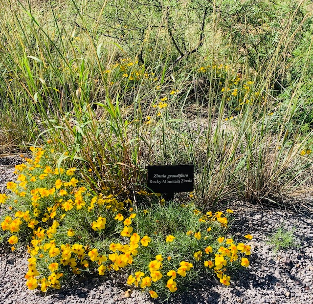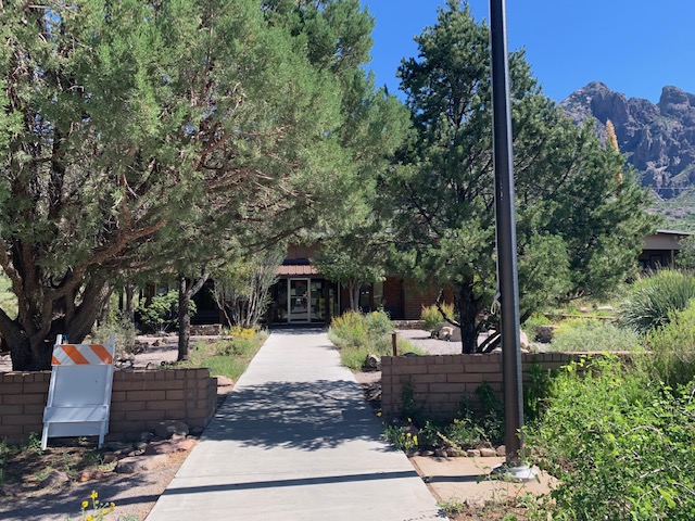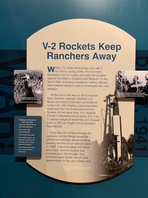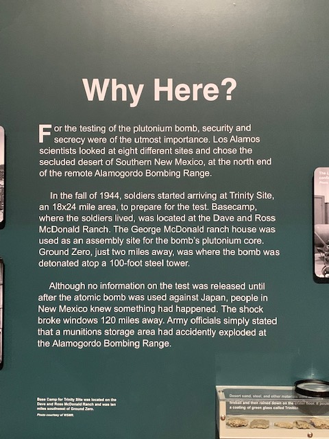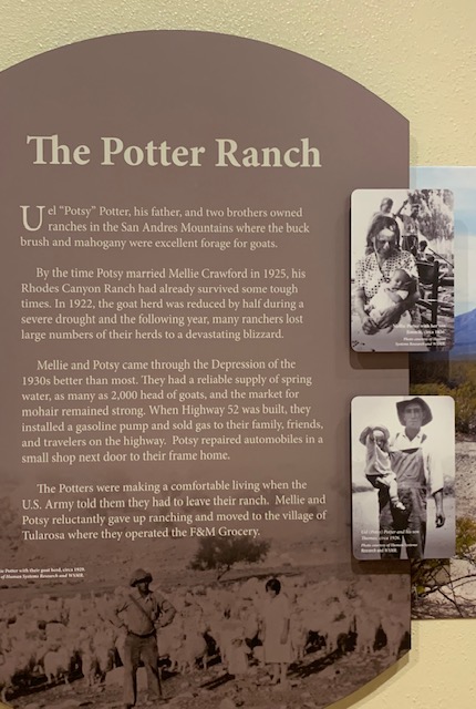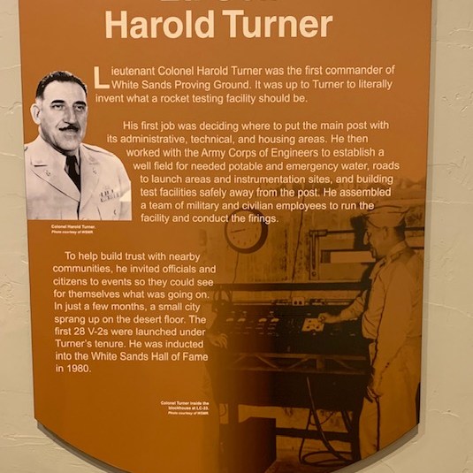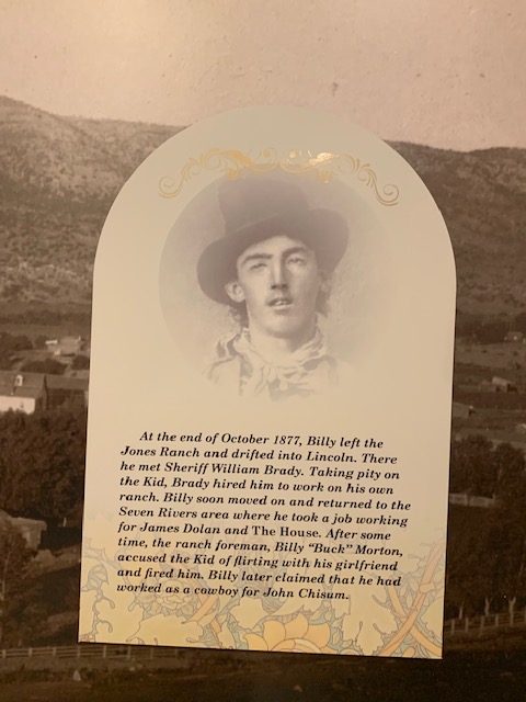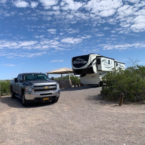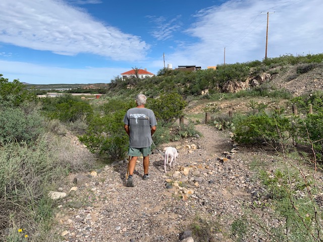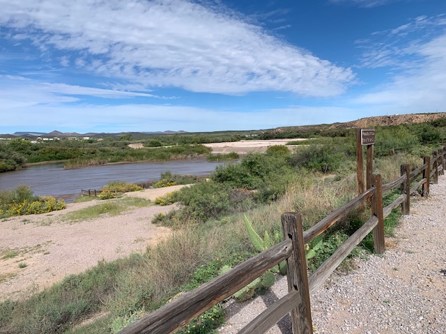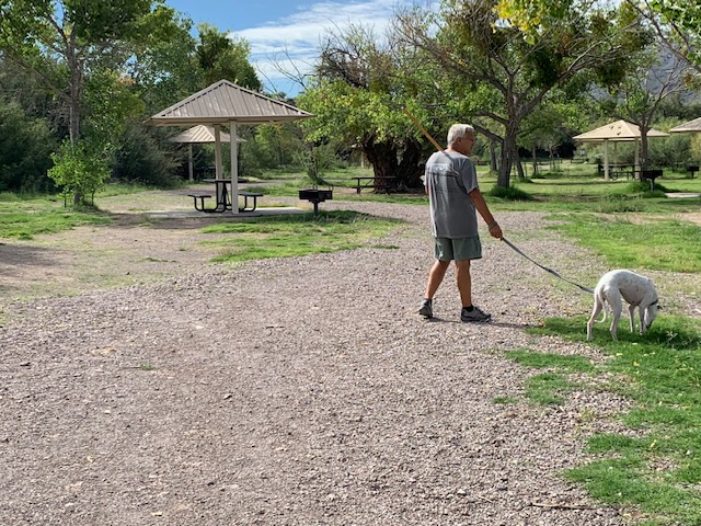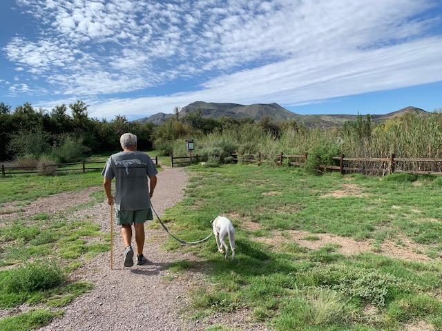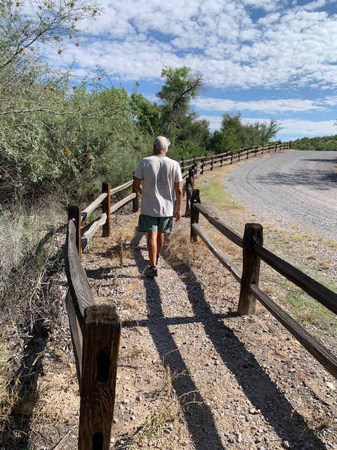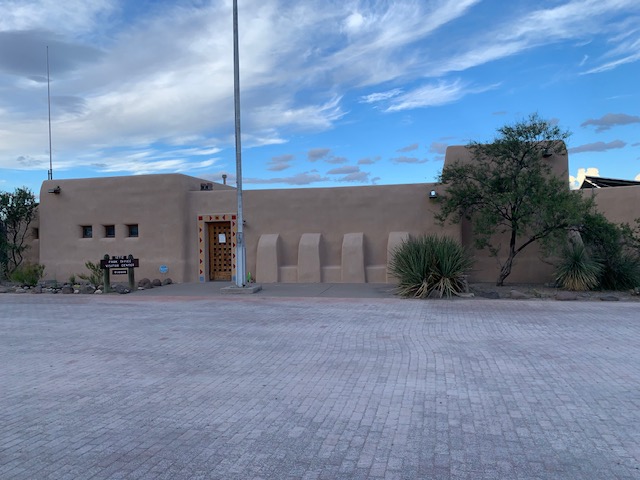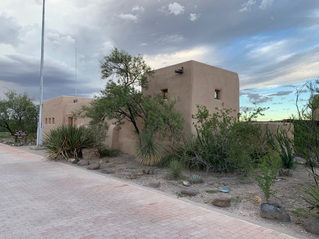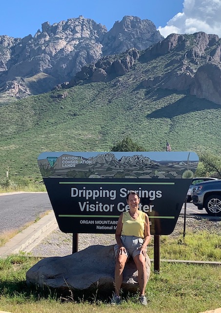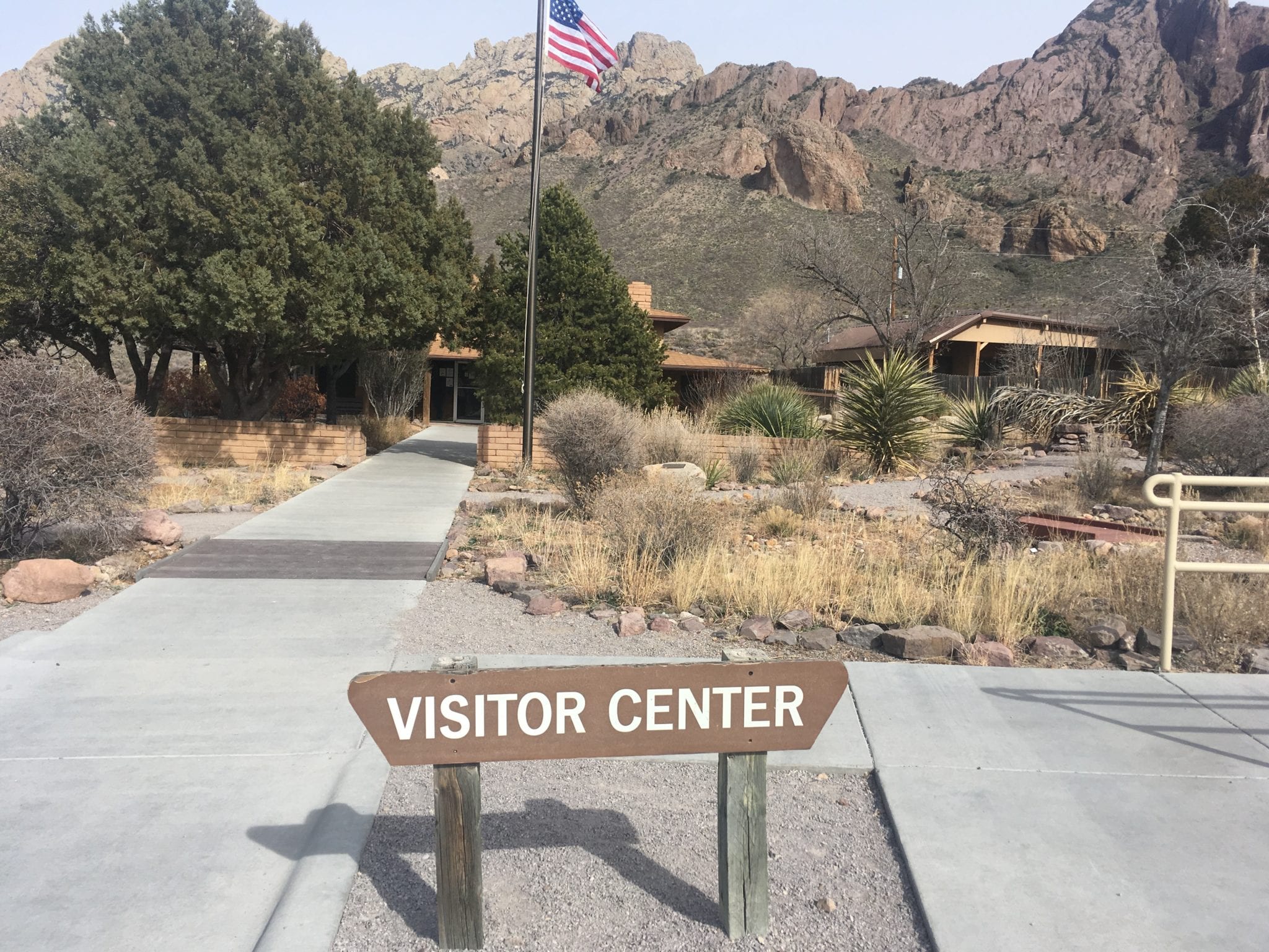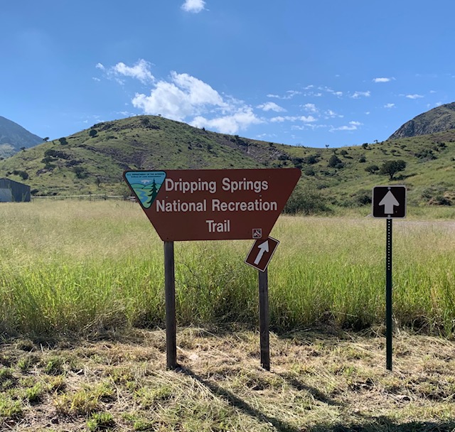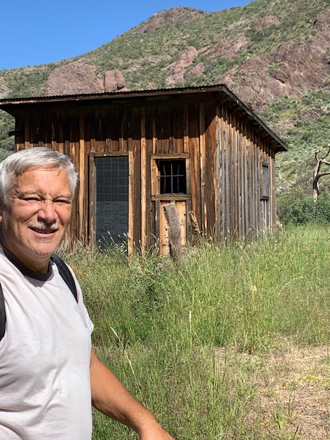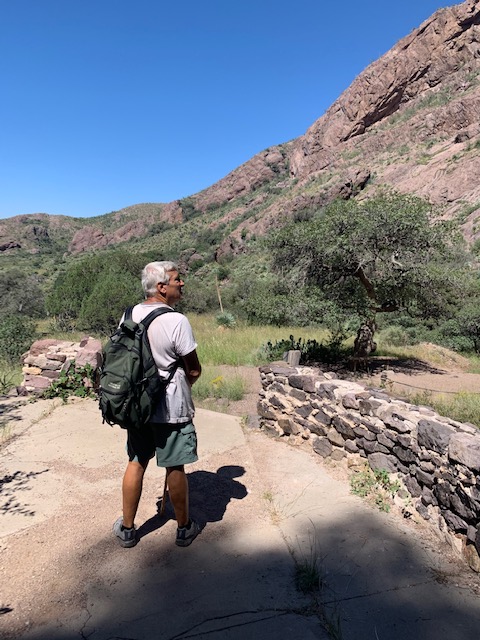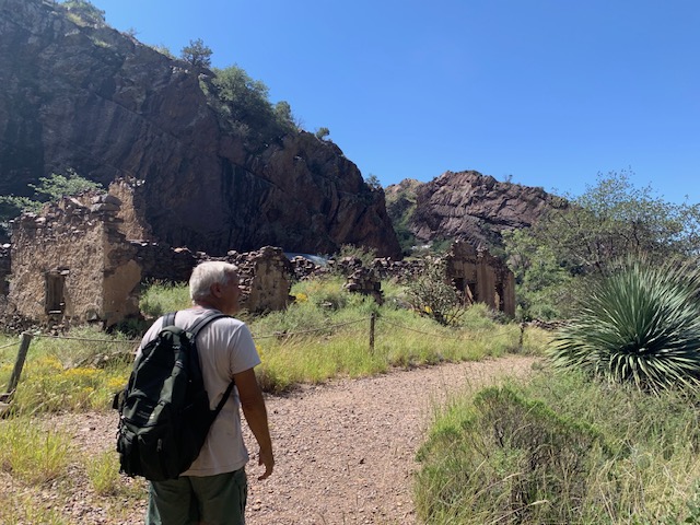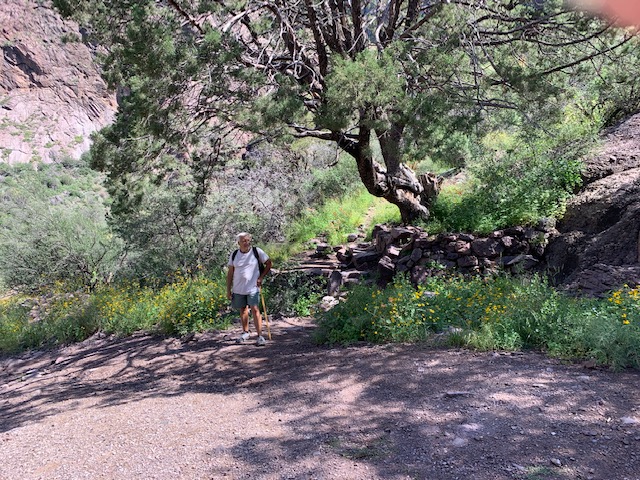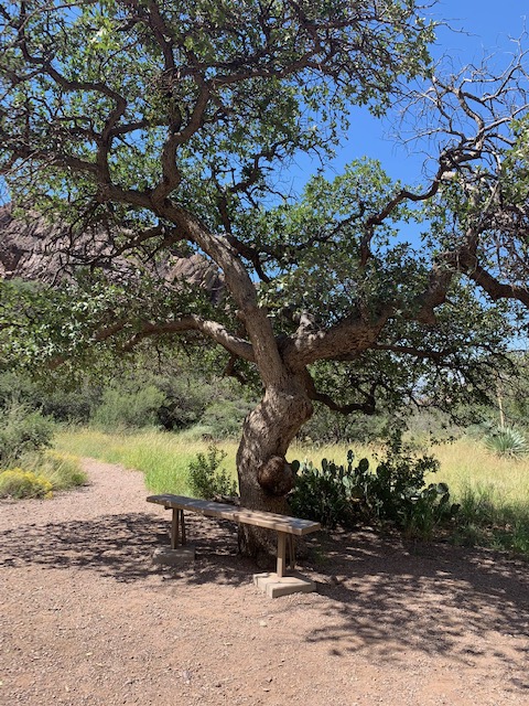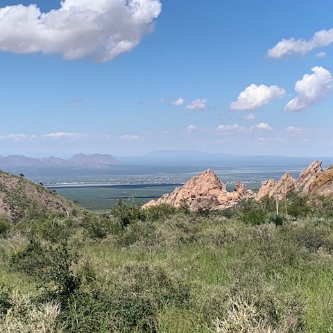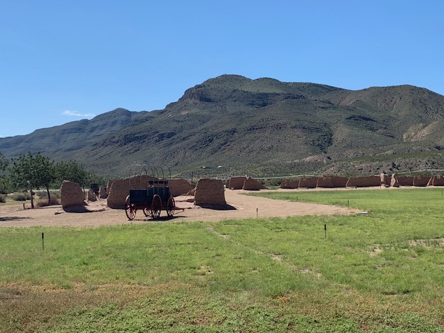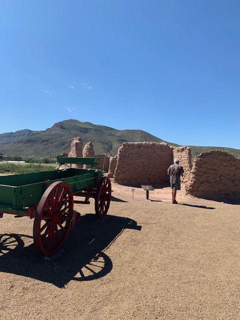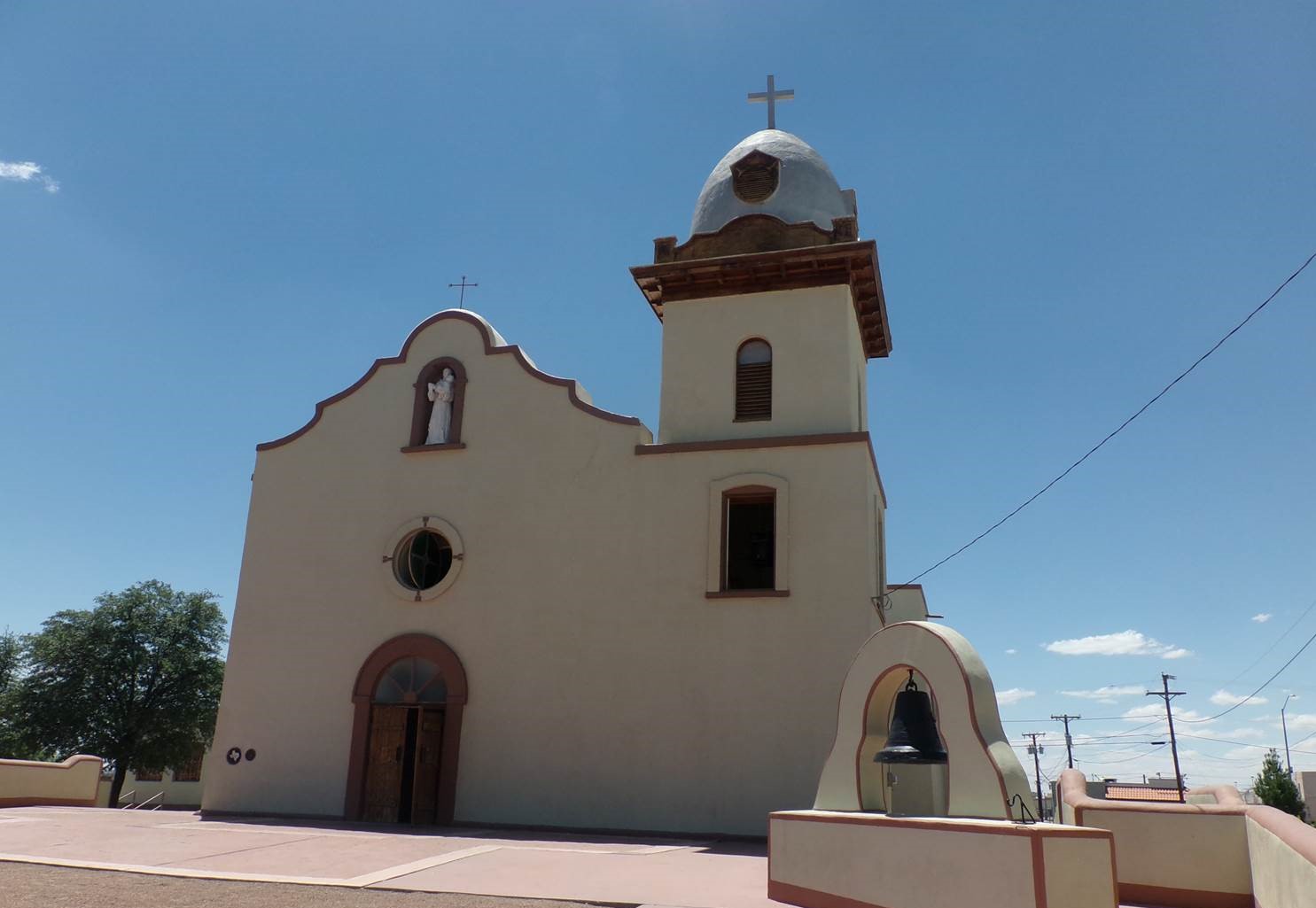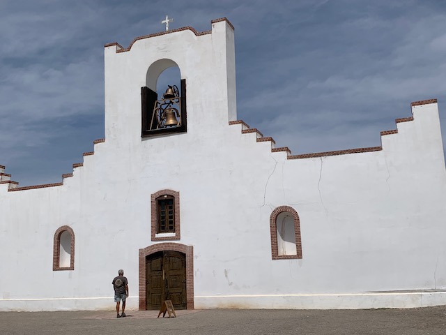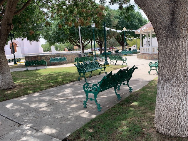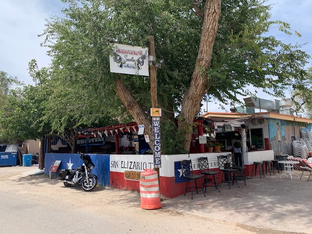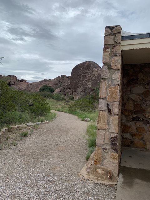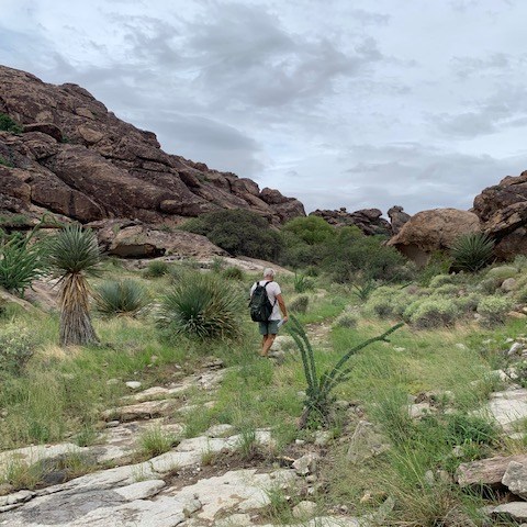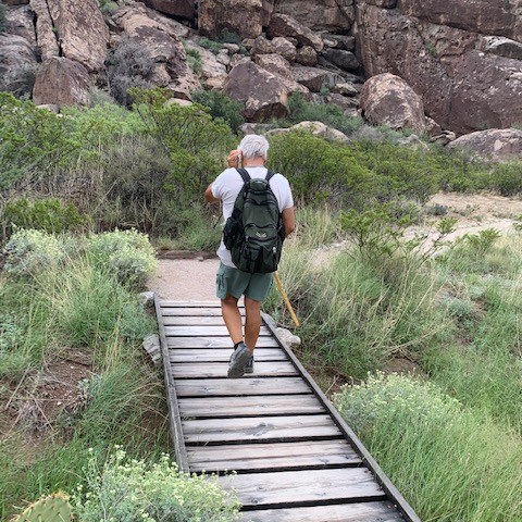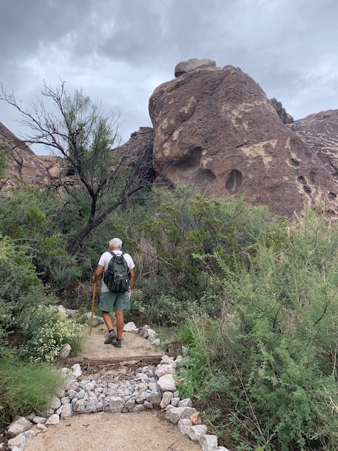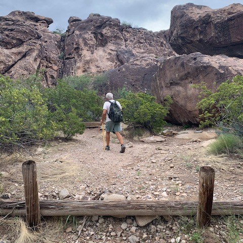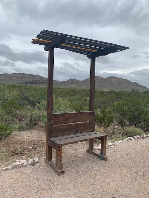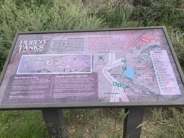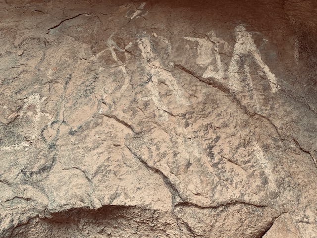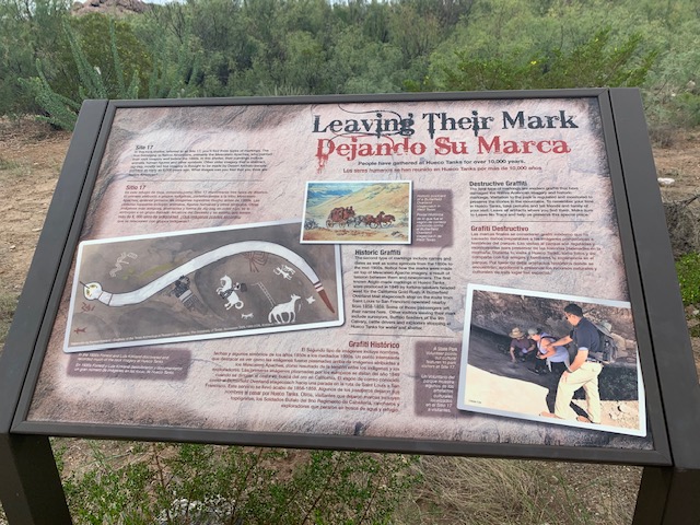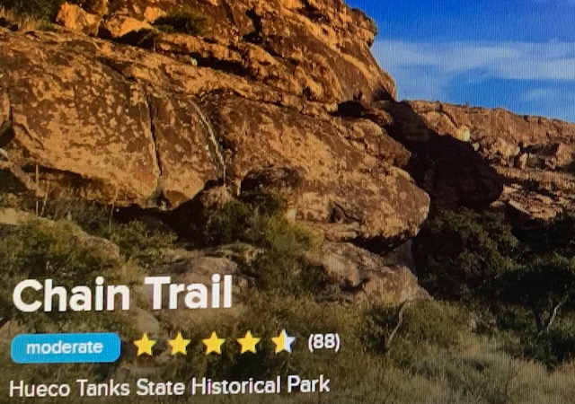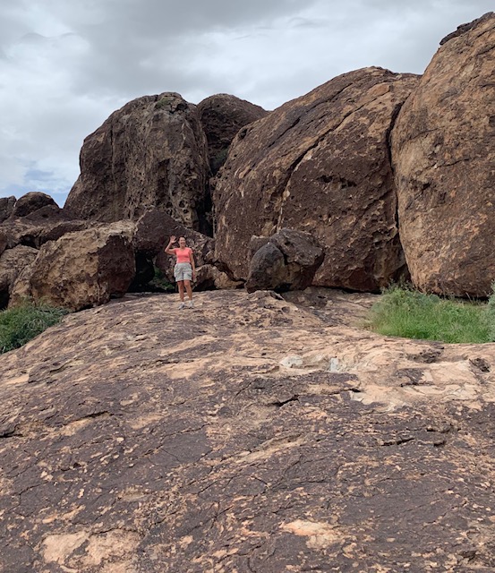
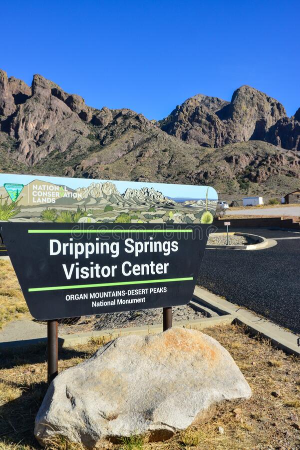
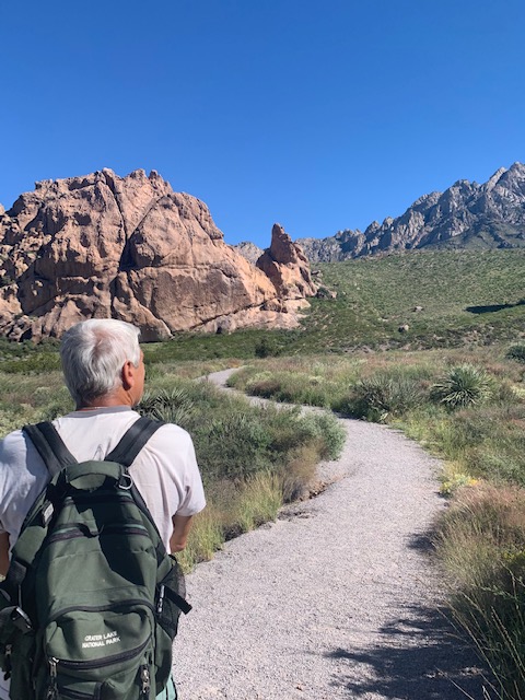
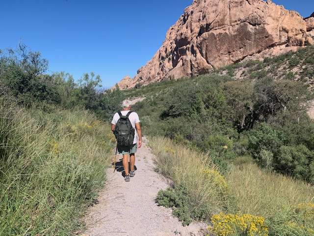
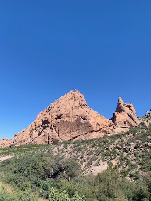
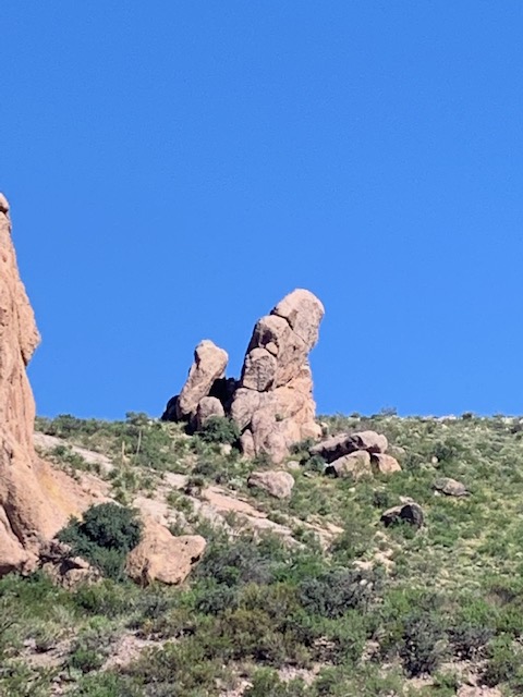
To see about a famous hermit. From the Visitor Center we went the other direction to #3
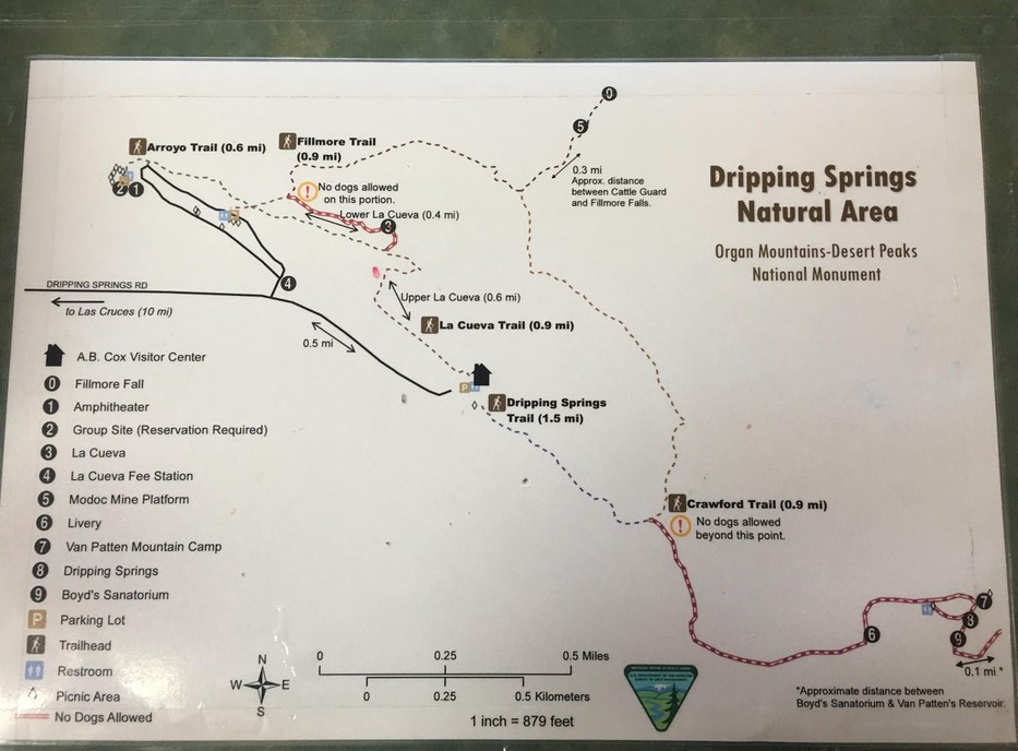
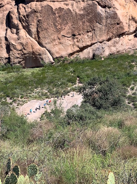
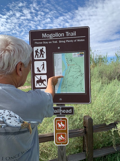
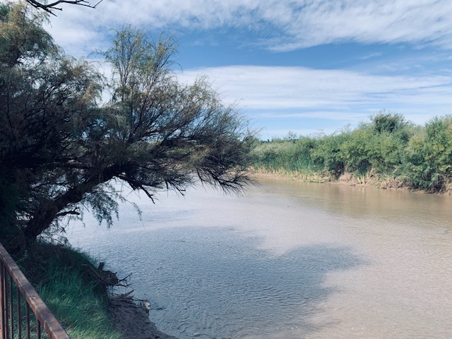
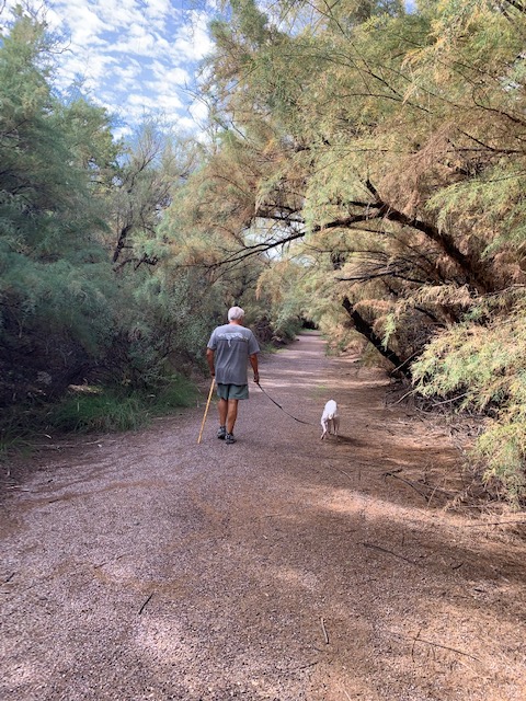
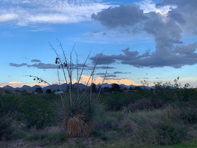
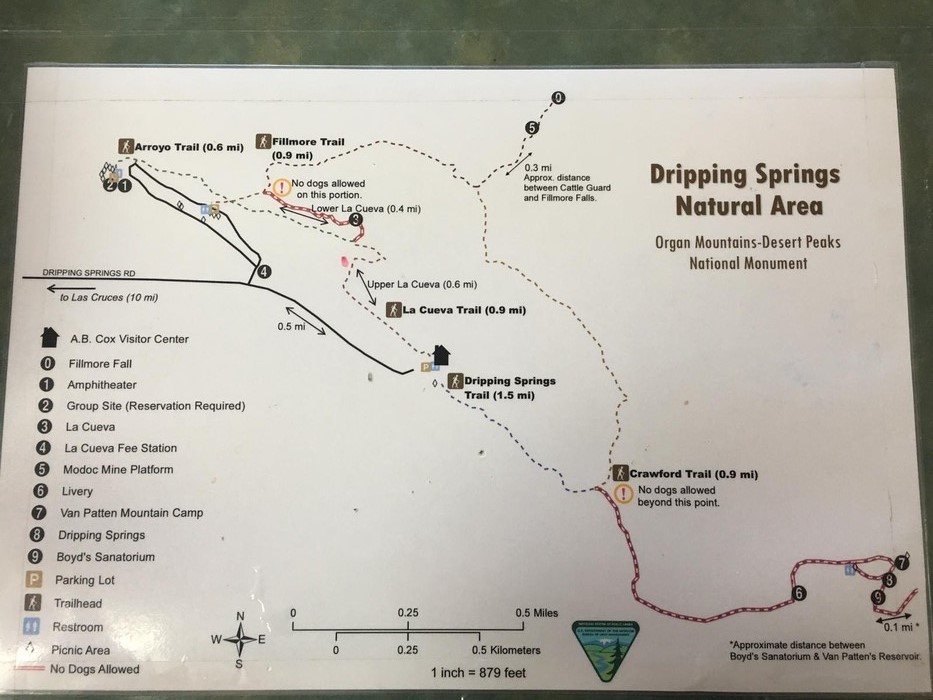
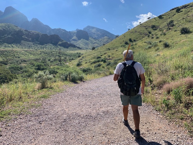
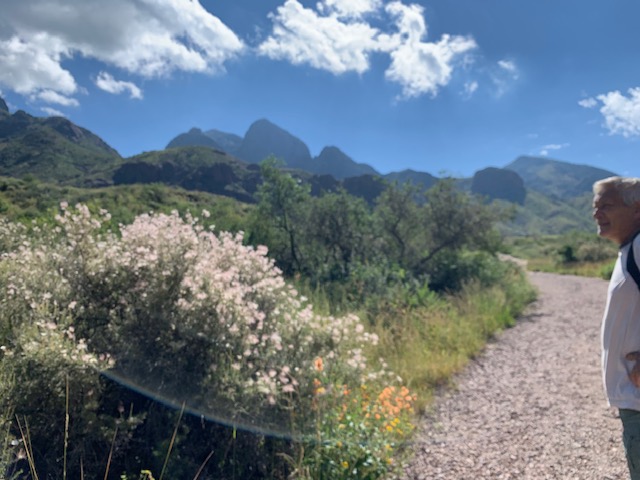
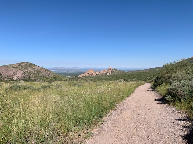
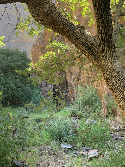
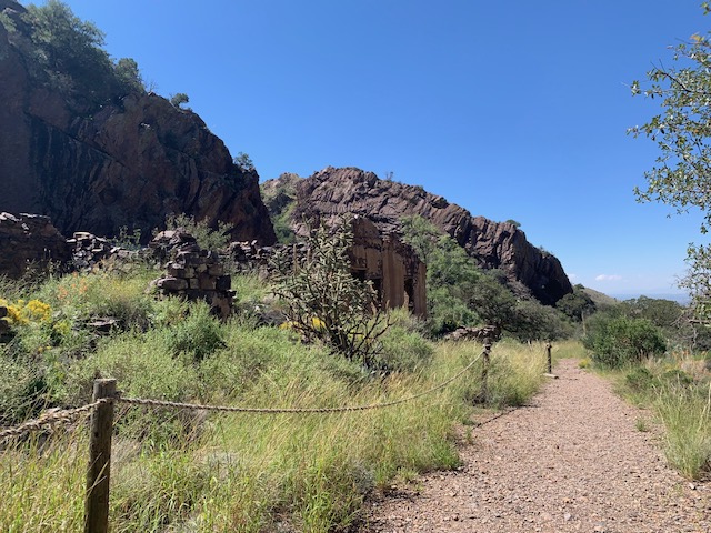
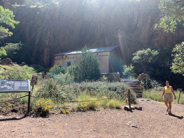
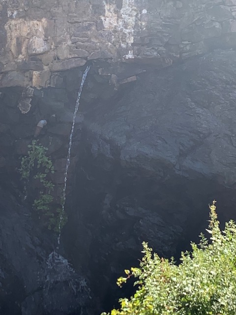
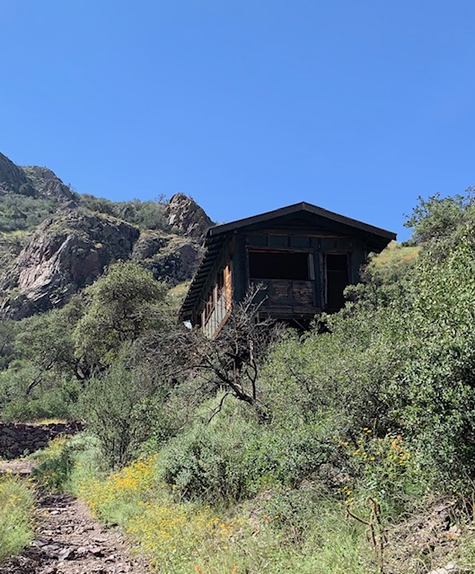
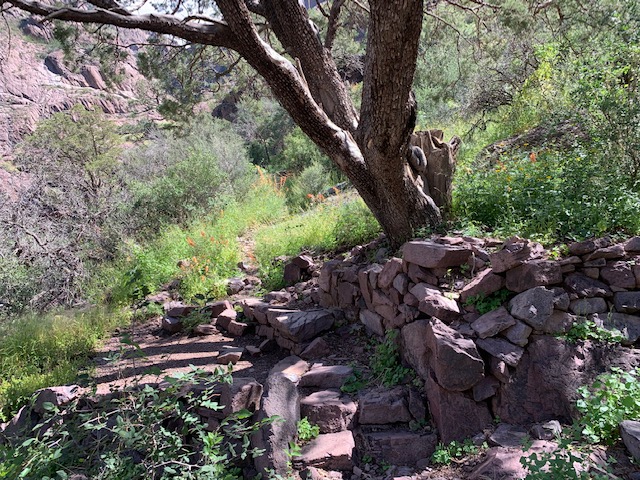
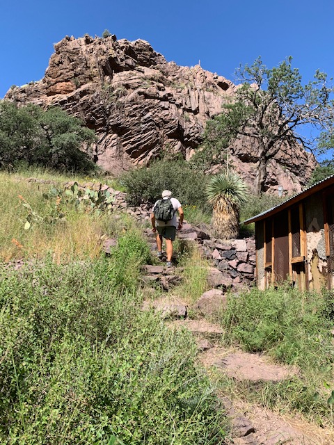
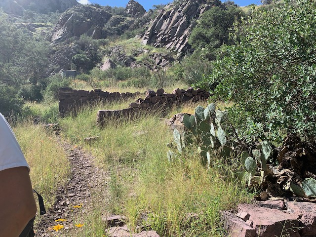
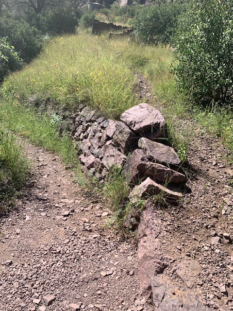
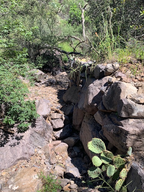
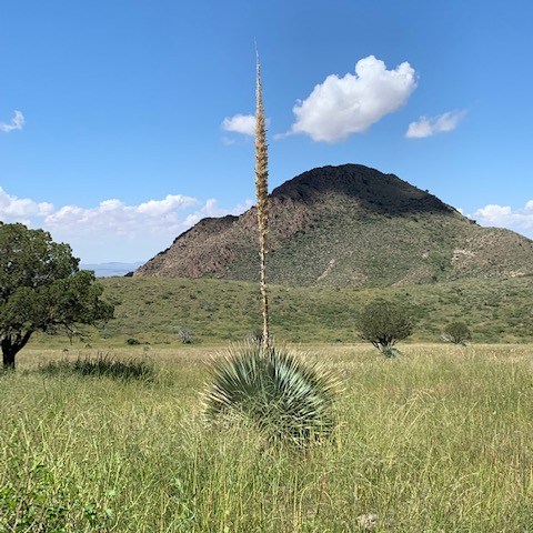
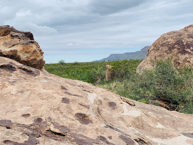
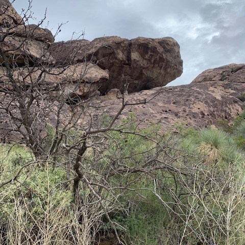
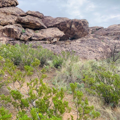
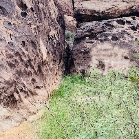
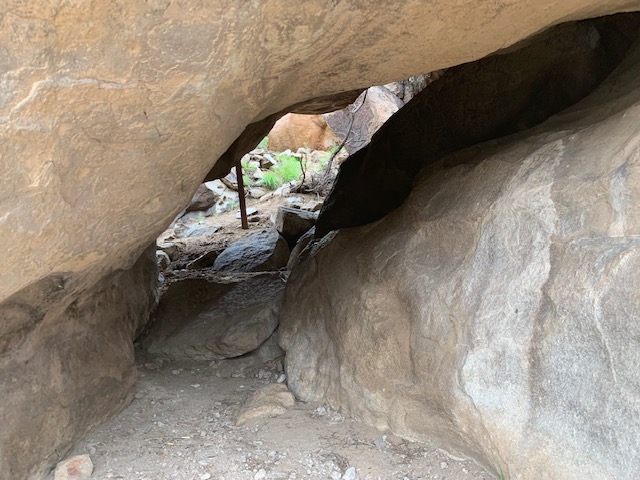
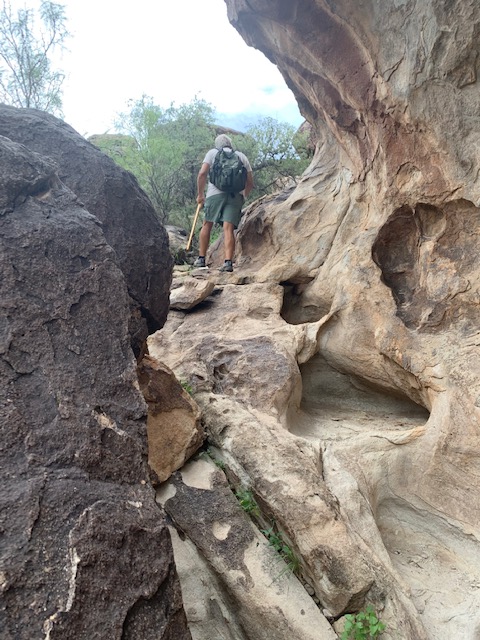
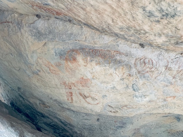
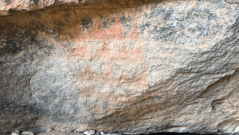
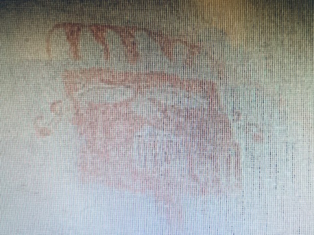
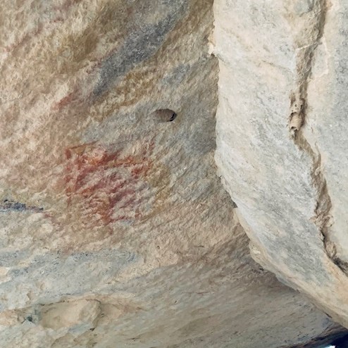
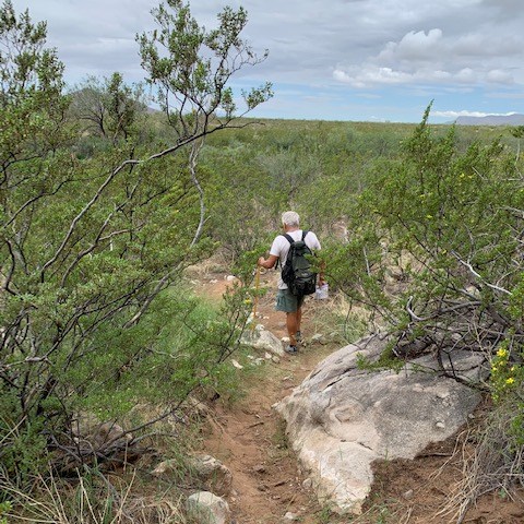
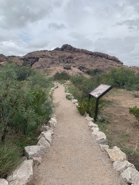
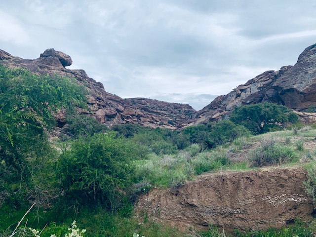
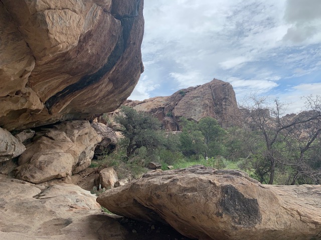
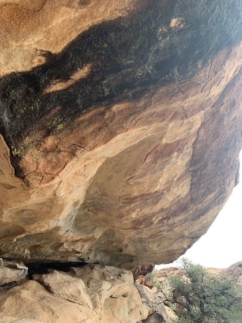
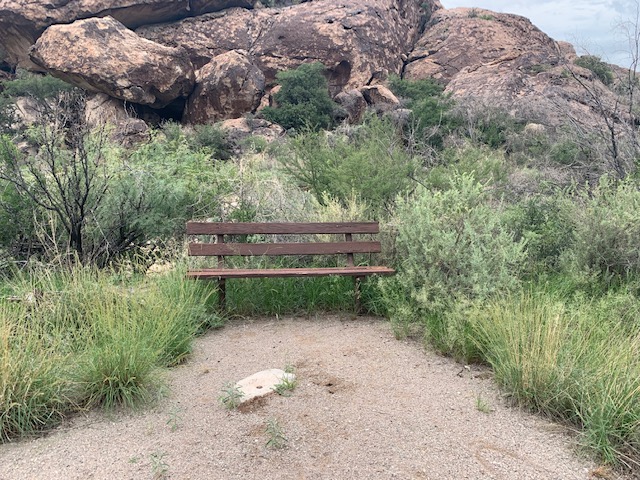
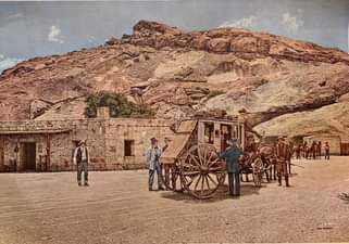
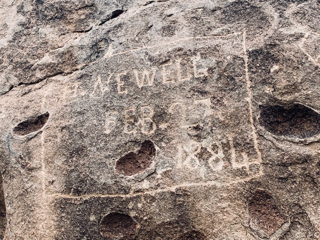
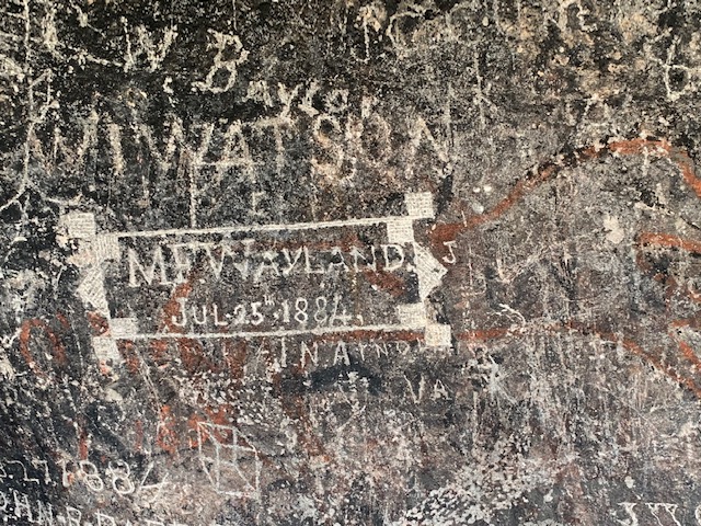
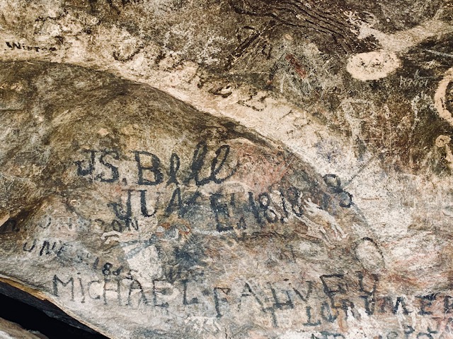
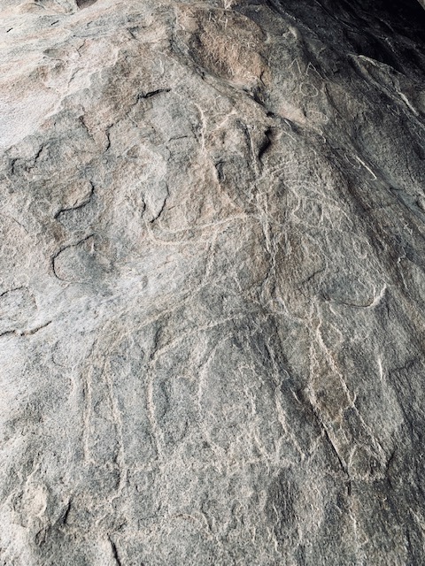
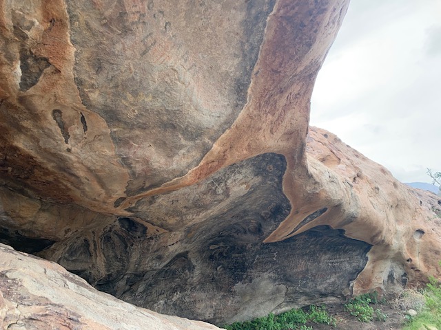
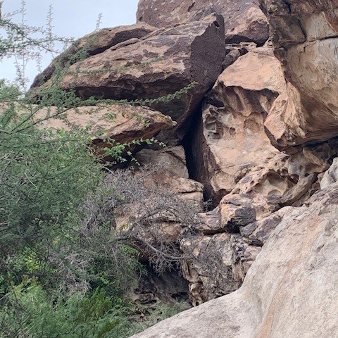
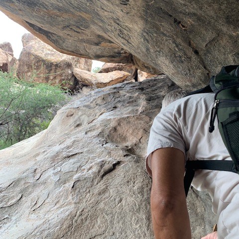
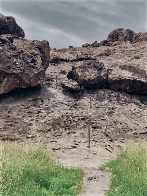
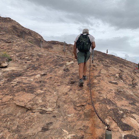
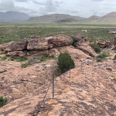
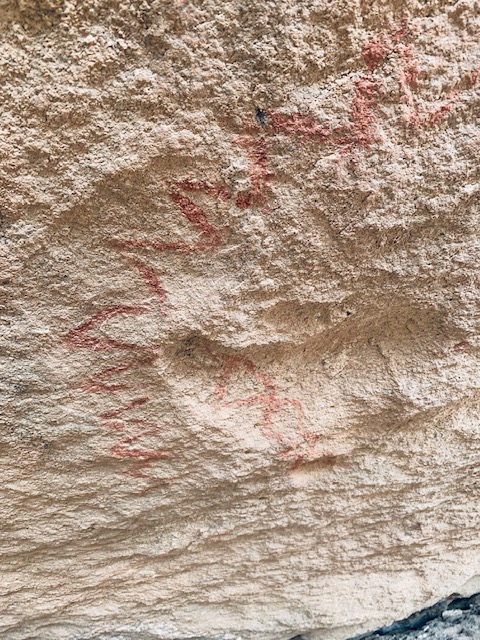
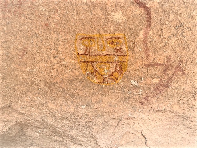
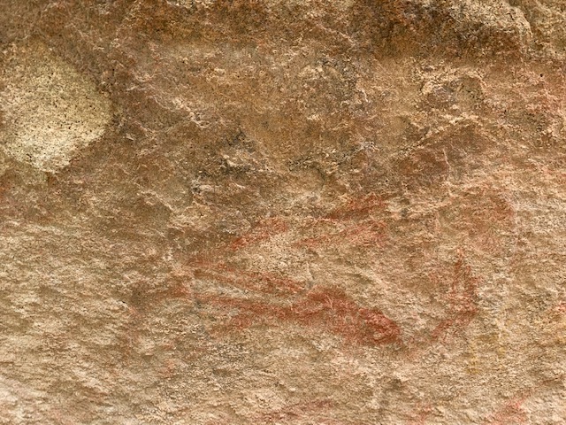
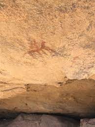
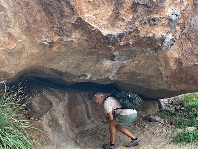
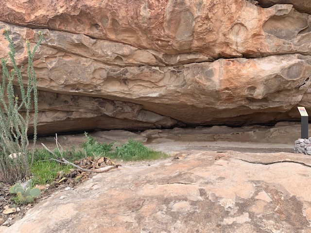
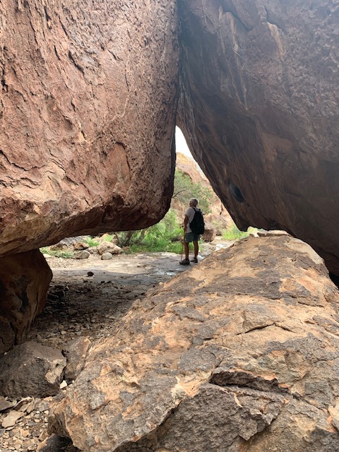
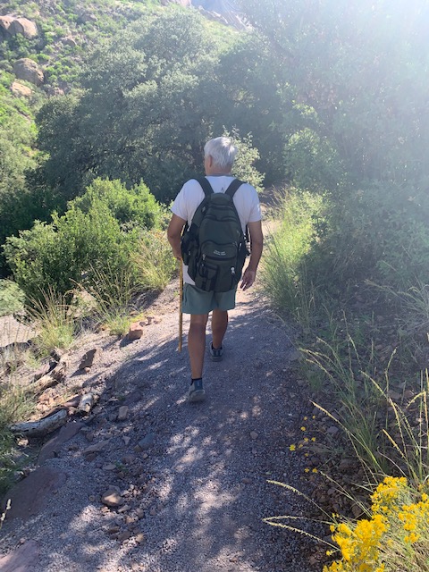
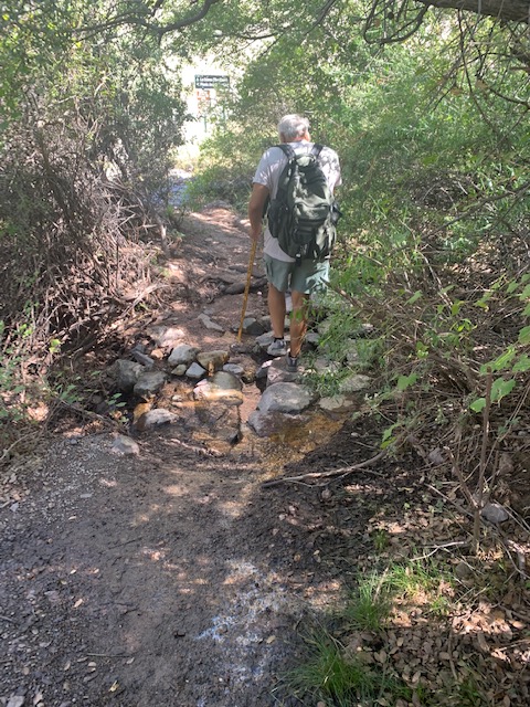
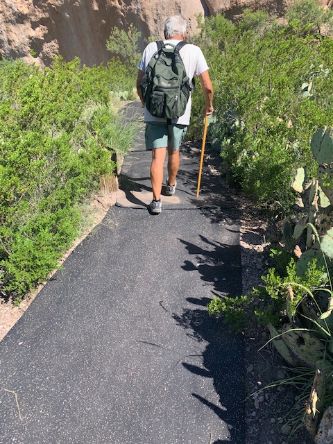
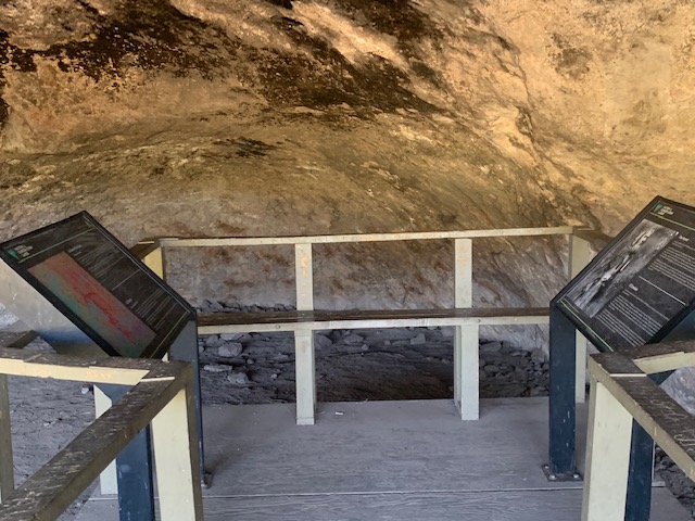
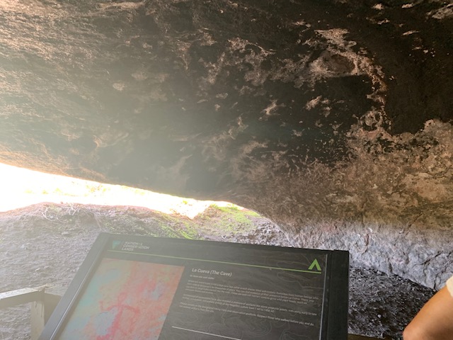
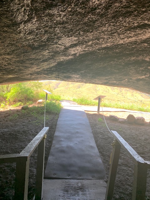
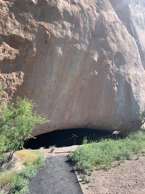
The Cueva Trail

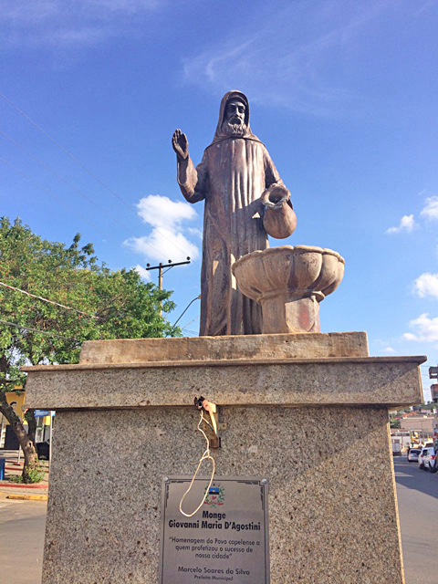
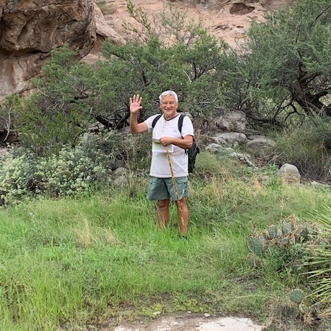
Now let me tell you a bit about the famous hermit.
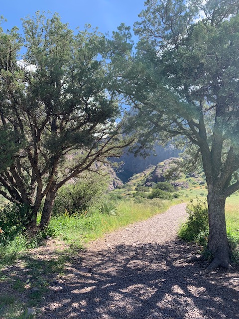
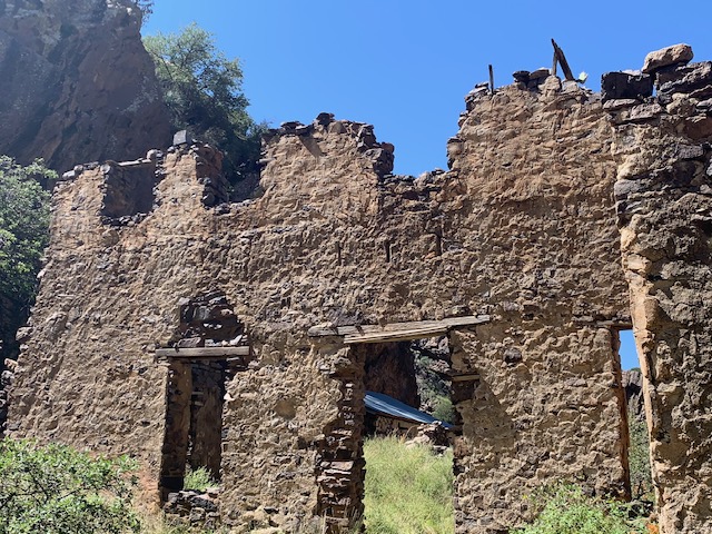
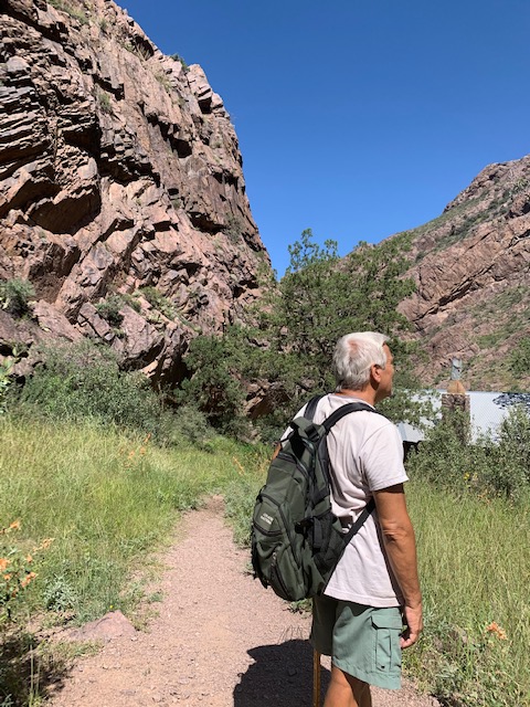
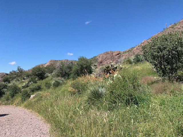
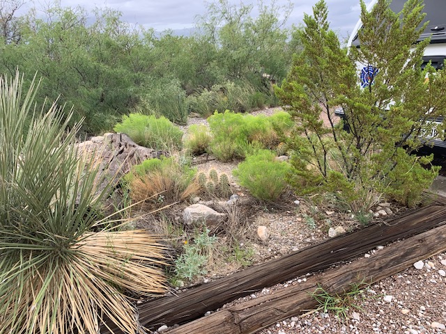
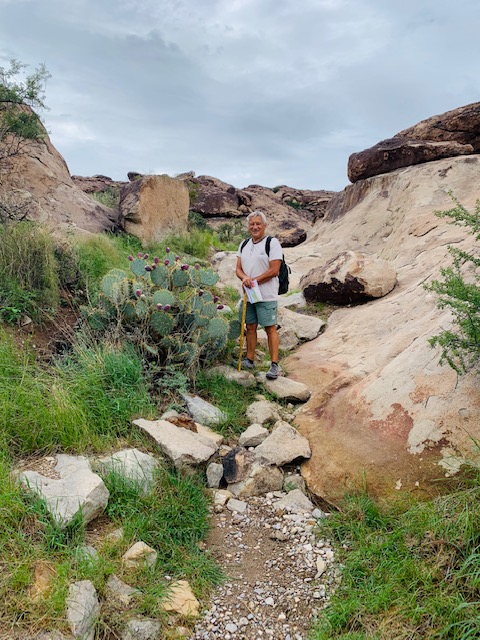
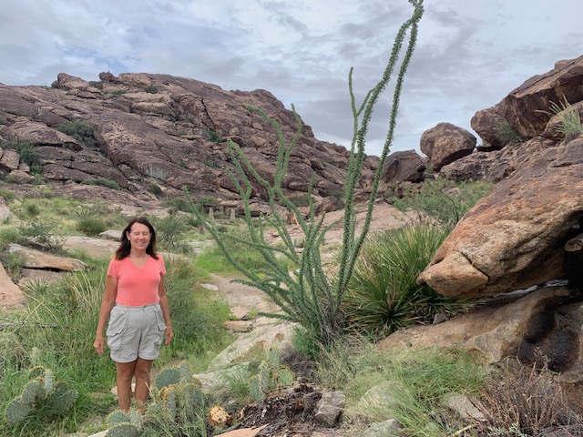
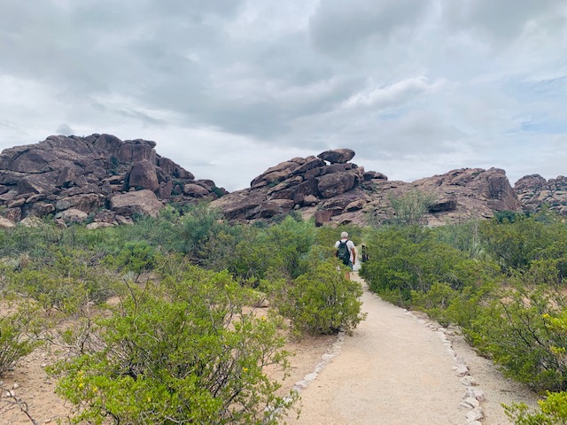
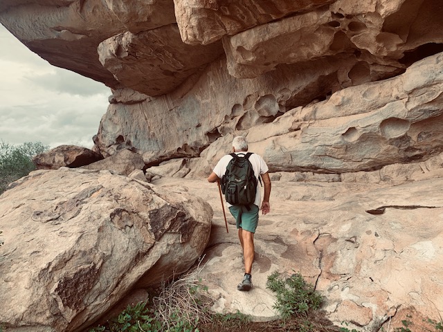
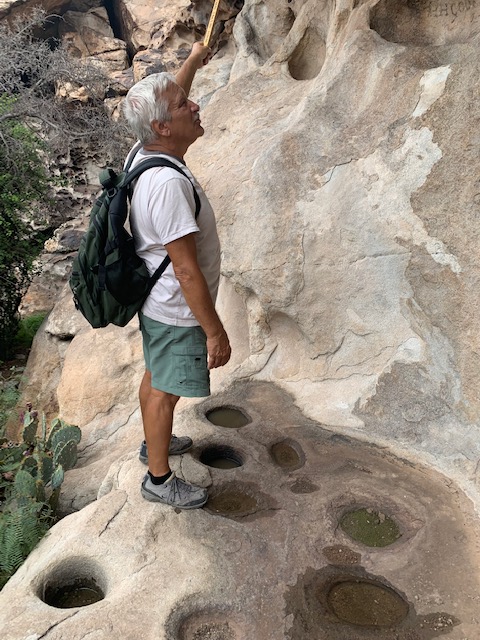
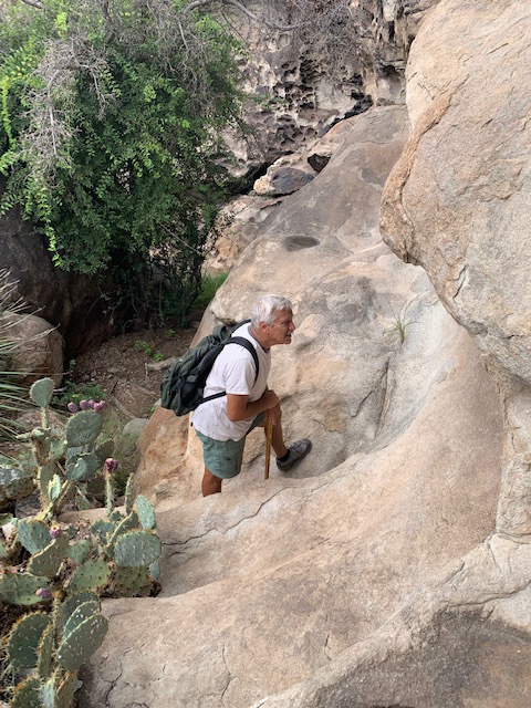
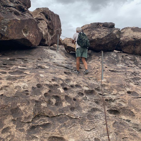
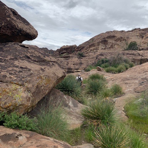
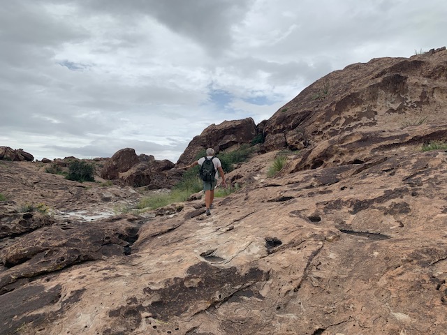
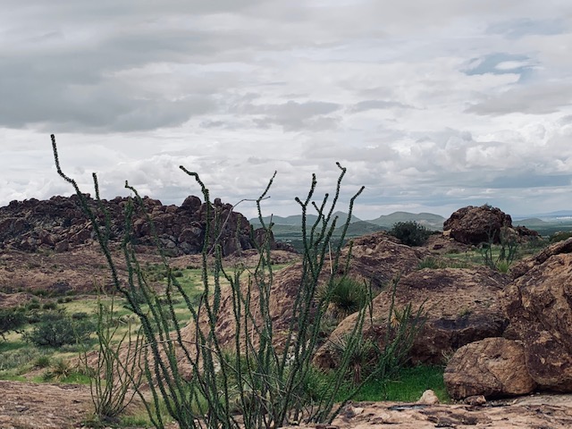
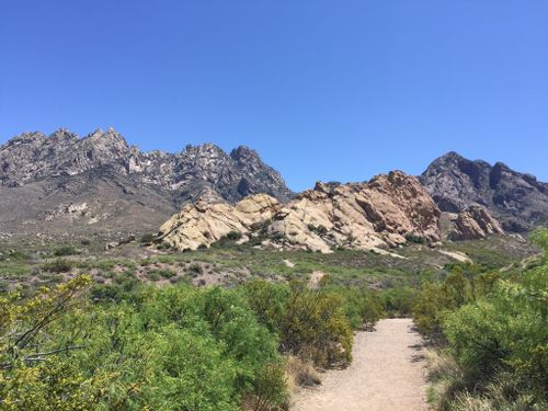
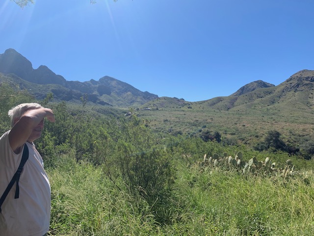
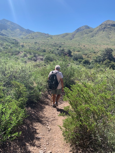
We’re on our way to check it out

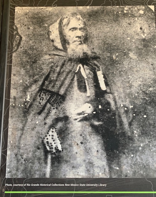

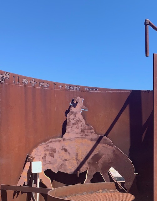
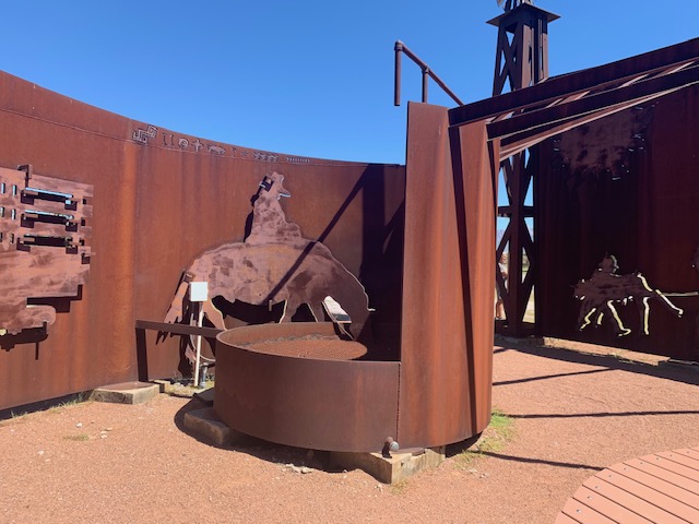
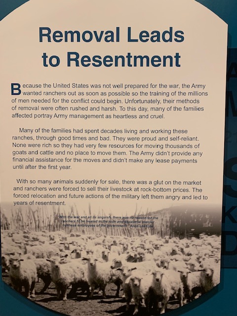
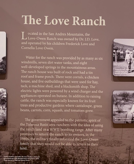
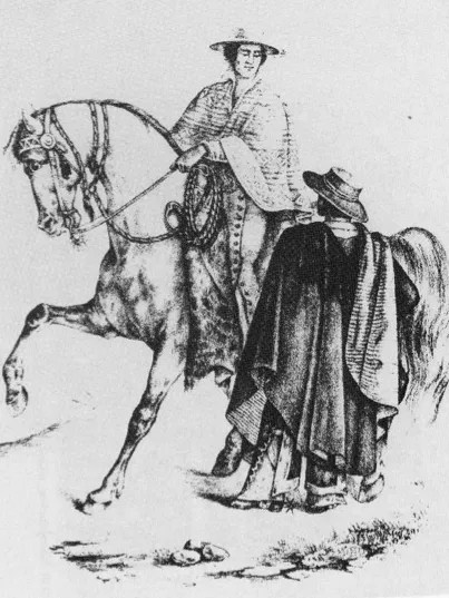
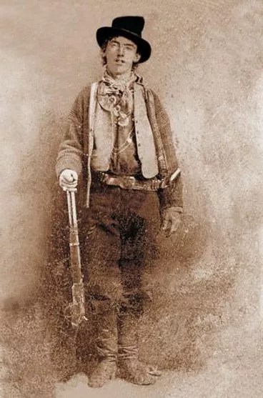
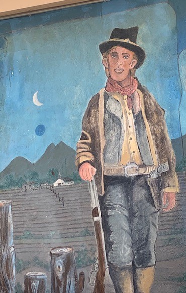
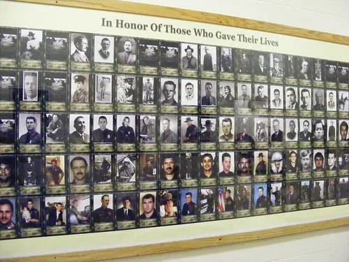
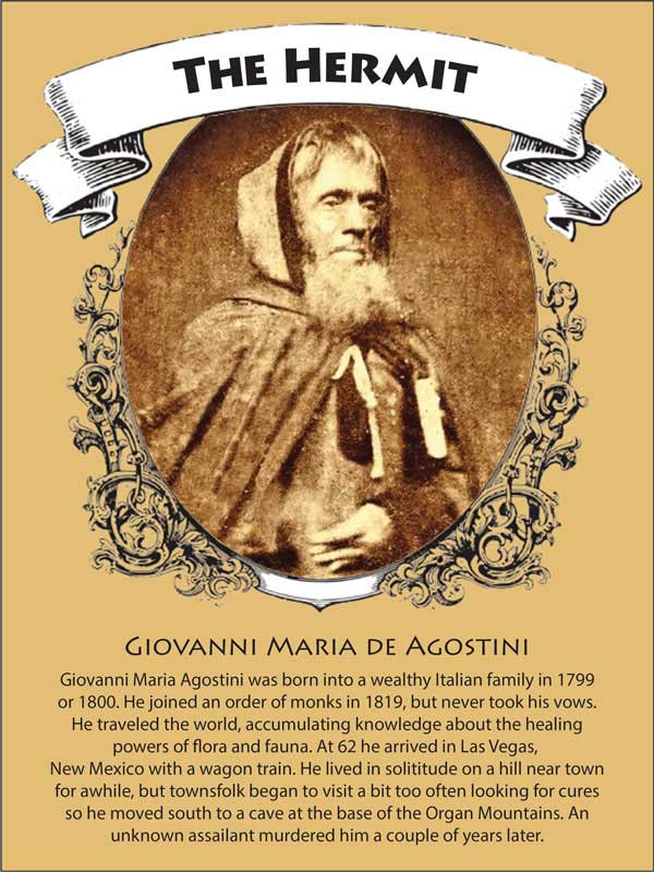
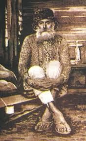
Over the years Hermit’s Peak and it’s sole resident, Juan Maria d’Agostini, have become an important part of the local culture when he came to the area in the 1860s. He was described as a short and thin man with a brown eyes and a gaunt face. He wore a long dark cape and leaned on a walking staff. The local residents had never seen anyone so striking and mysterious. They called him “El Ermitano”, the Hermit.
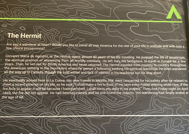
Born in northern Italy in 1801, Giovanni Maria de Agostini came from a wealthy Italian family. He studied Latin, French, and theology before taking the vow of Saint Anthony the Abbot. He then dedicated himself to a Monastic life of poverty, austerity and virtue. After traveling around in Europe he set out for South America, landing in Caracas, Venezuela in 1839. In South and Central America he traveled from Venezuela to Peru, Brazil, Argentina, Chile, Bolivia, Panama, Guatemala, and Mexico. In 1861 he journeyed to North America and arrived in New York City. Except for voyages which required boats, his only mode of transportation was by foot. From New York he walked up to Canada, and then down to Kansas.
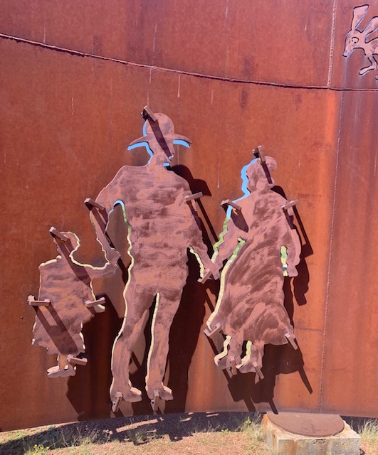
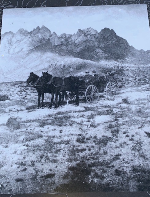
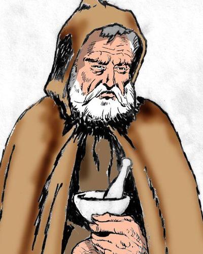
He found his way to Las Vegas, New Mexico accompanying a wagon train from Council Grove, Kansas along the Santa Fe Trail in 1863. When offered a ride on one of the wagons he said that he preferred to walk, and asked only for some cornmeal mush to nourish himself. By this time he went by the name Juan Maria d’Agostini. But to the religious settlers of early Las Vegas he was simply “the Hermit”. Due to his appearance and wise demeanor he was perceived of as a holy man, a healer and a miracle worker. He claimed to be none of these things. Nonetheless, throngs of locals collected wherever he resided, seeking counsel, healing and miracles.
Giovanni decided to abandon his cave on Hermit’s Peak in 1867. He joined a southbound wagon train, traveling on foot to San Antonio, Texas and Juarez, Mexico and then to Mesilla, New Mexico. He became friends with the Barela family, visiting them regularly. Again, his healing ability attracted lots of attention from the locals.
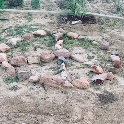
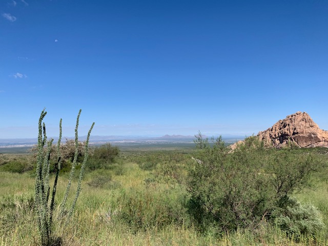
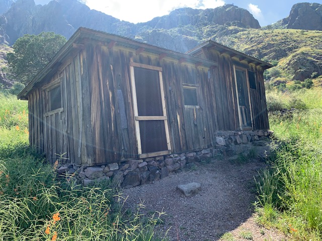
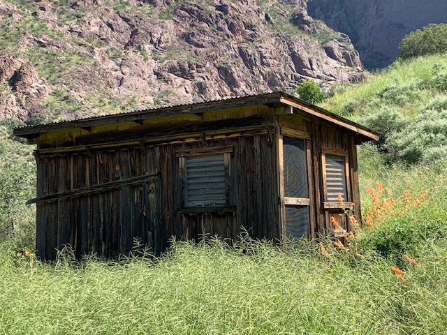
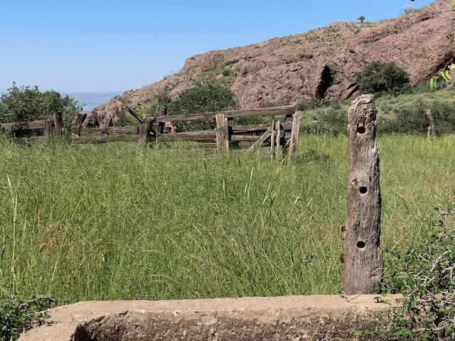
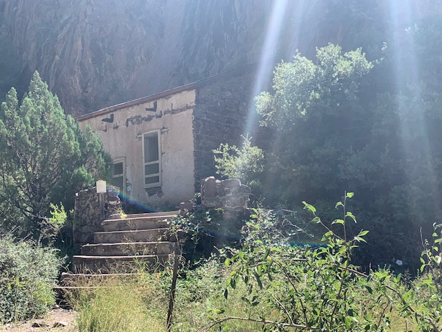
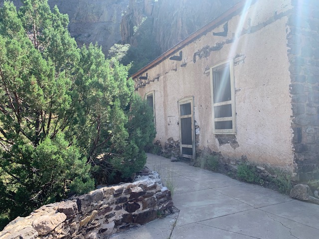
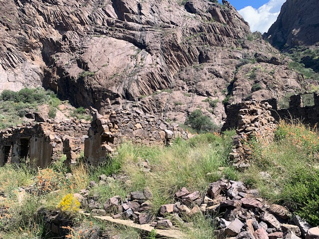
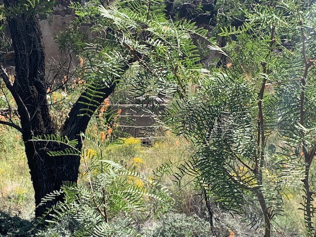
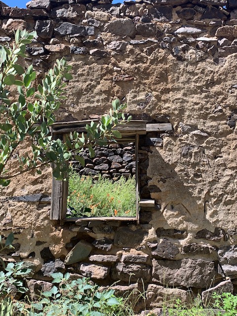
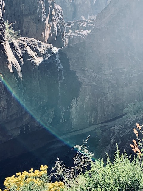
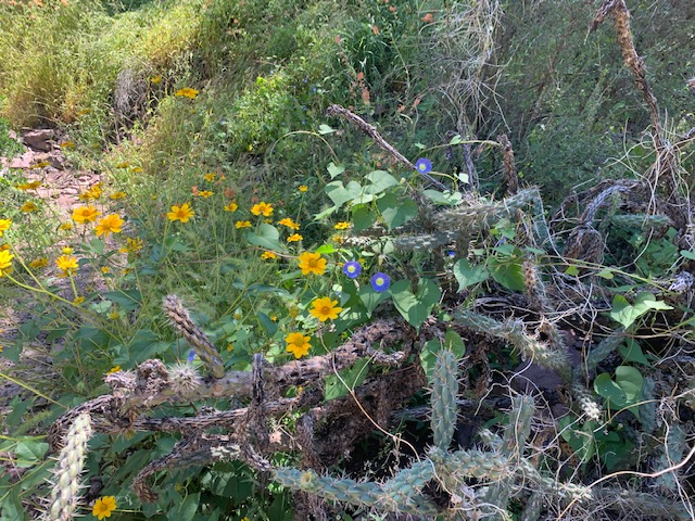
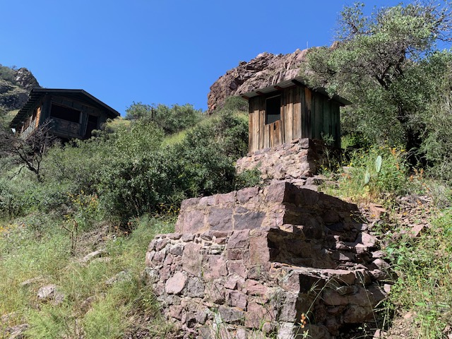
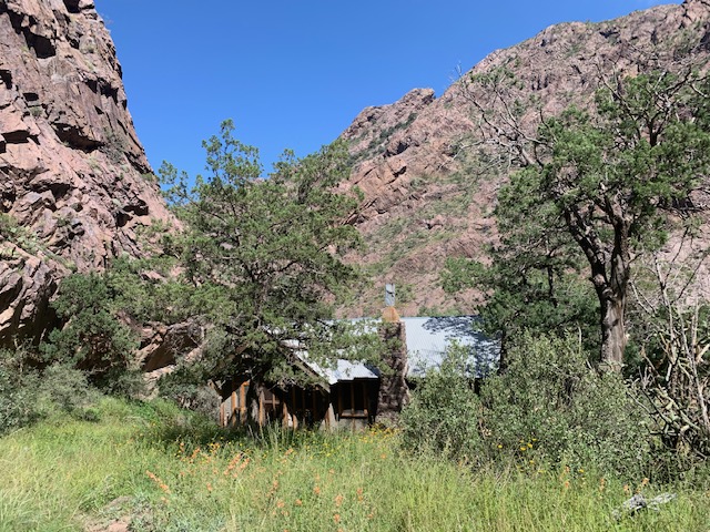
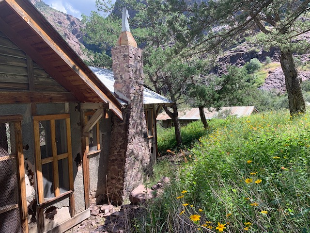
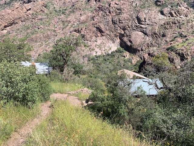
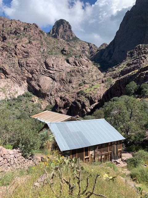
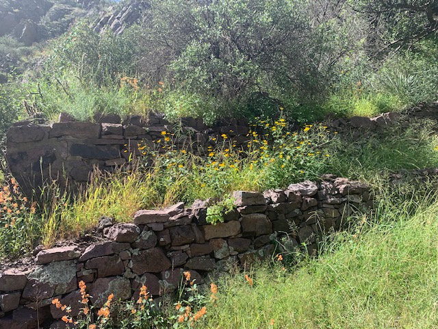
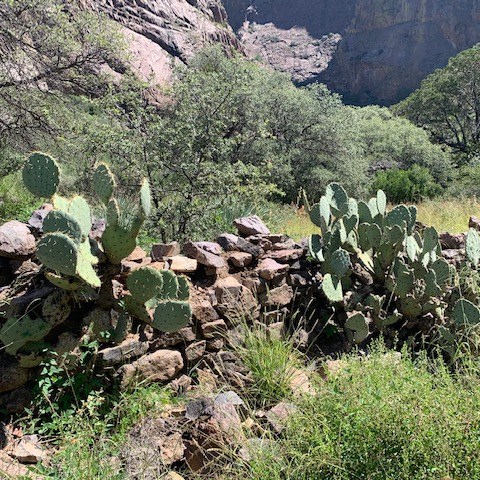
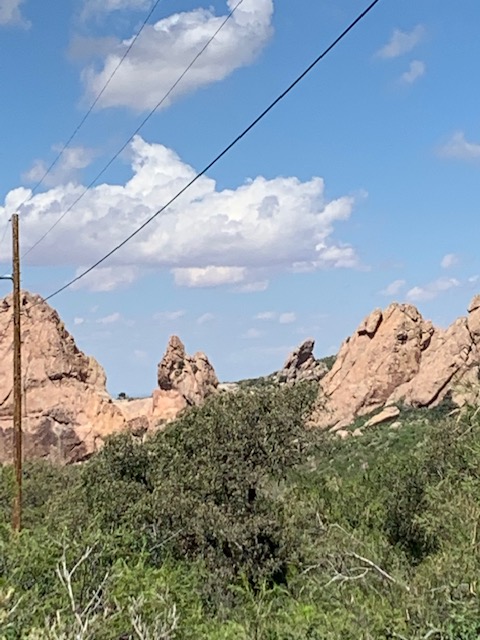
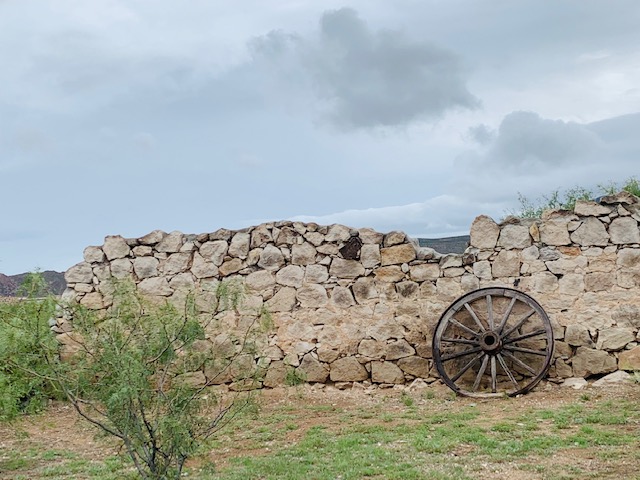
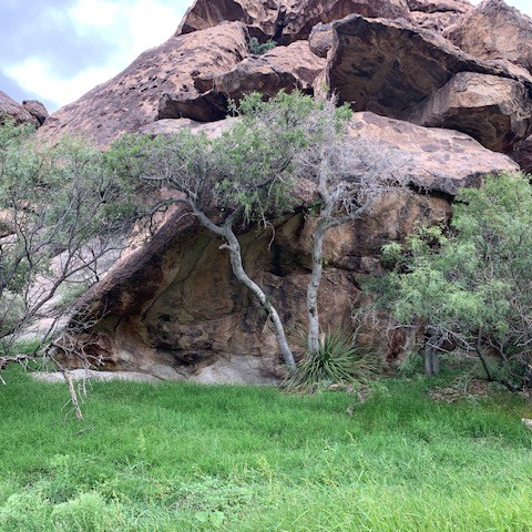
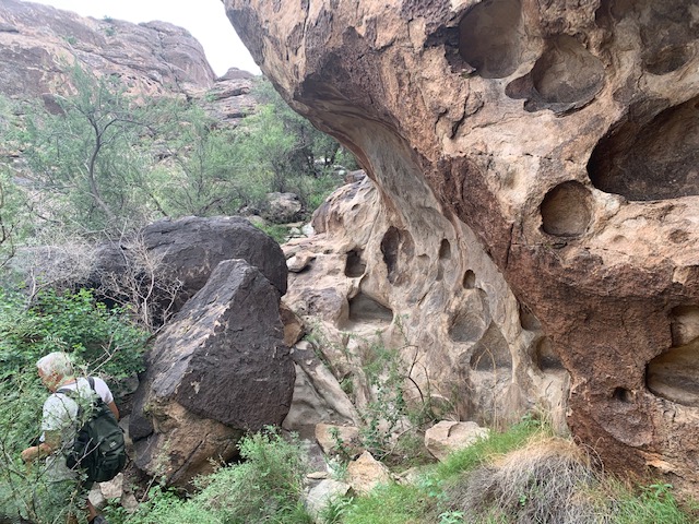
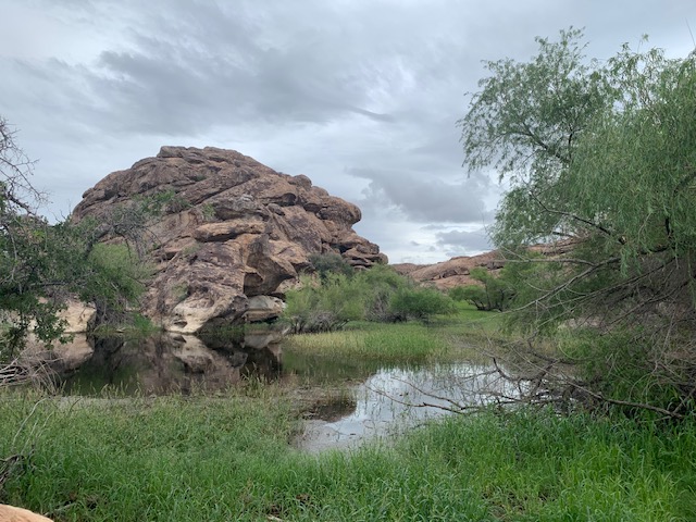
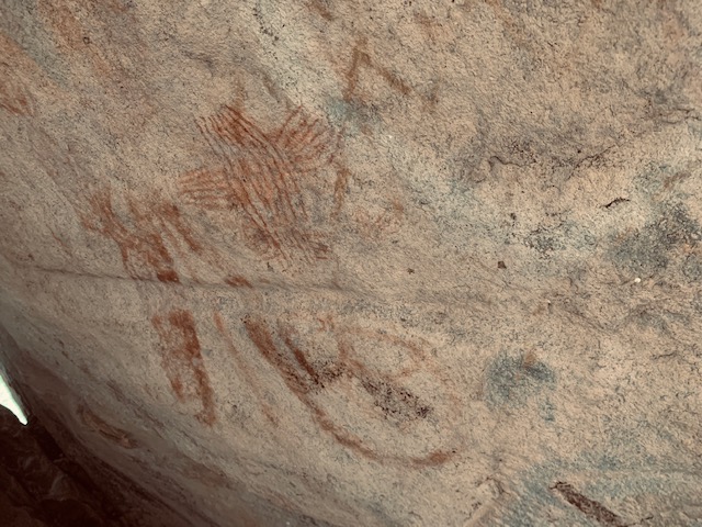
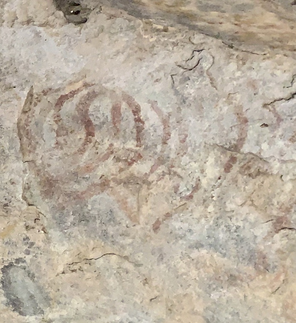
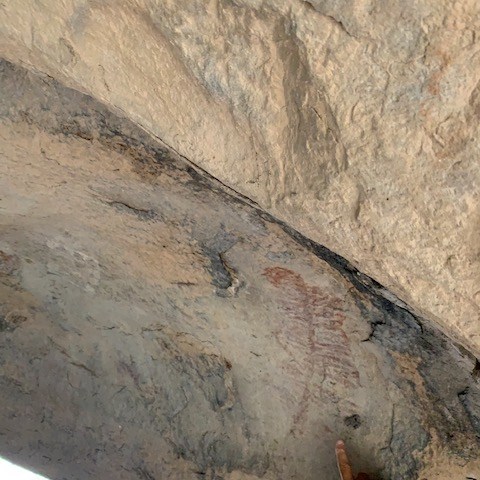
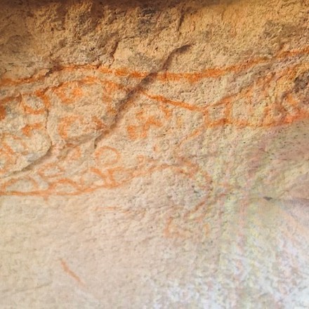
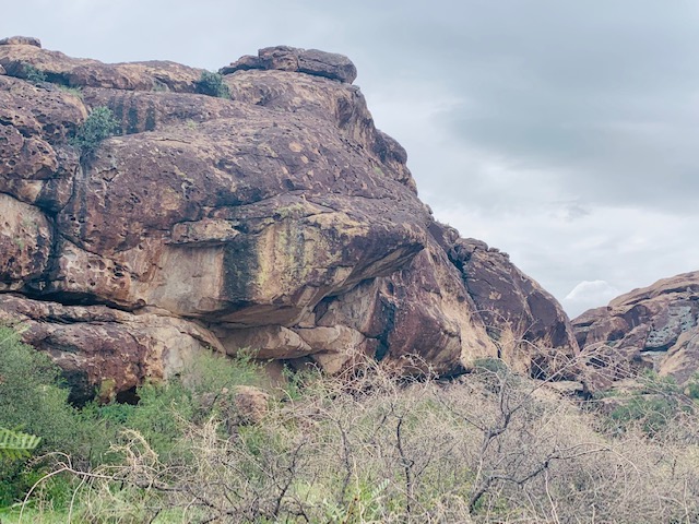
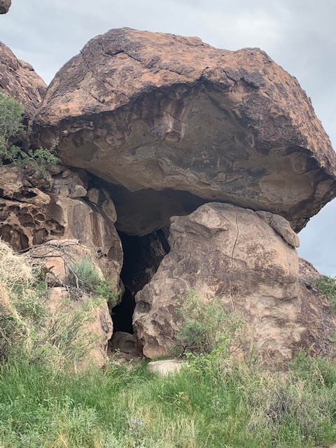
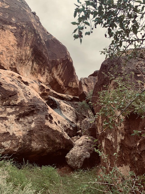
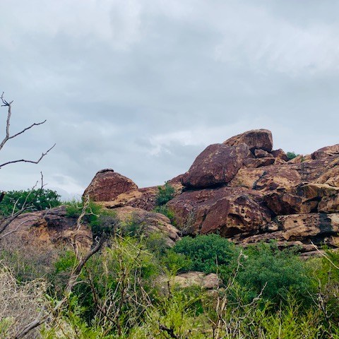
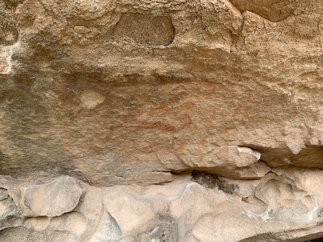
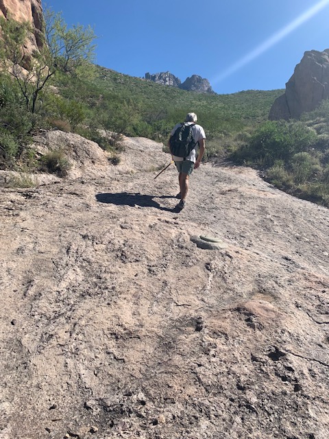
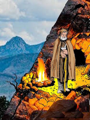
He decided to walk across the desert to settle in a remote cave at the base of the Organ Mountains, his friends in Mesilla tried to talk him out of it, but he ignored them. He settled in this cave where he would spend the last few years of his life. He gathered herbs and flowers from the leafy spring-fed landscape outside of the cave, crafting potions and bandages for the followers and admirers that hiked to the cave to seek treatment for a variety of ailments.
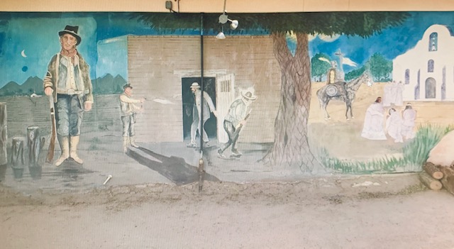
His friends in Mesilla were worried about him being alone in the cave so Giovanni created a way to communicate with them weekly. He told them “I shall make a fire in front of my cave every Friday evening while I shall be alive. If the fire fails to appear, it will be because I have been killed.”
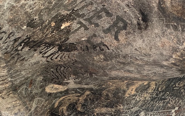
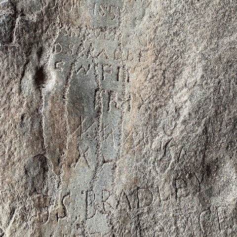
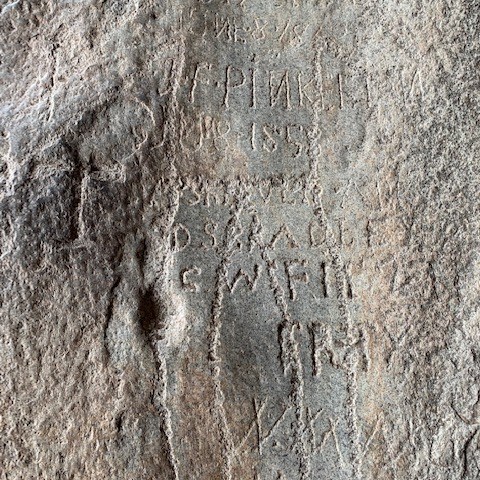
One Friday night in the spring of 1869 the light didn’t appear. His friends became worried, gathering a posse to check on him. He was dead on the floor of the cave, with a knife protruding from his back, when they arrived. No one could think of a motive to attack him and they couldn’t think of any enemies he had. Robbery definitely wasn’t the motive, because Giovanni’s silver cross, silver rosary, and other silver items were found on his body. The murderer was never caught. Though a priest in Mesilla was indicted for the murder, he was never tried. Giovanni’s death remains one of New Mexico’s most infamous unsolved murders.
The Legacy continues, In South America he was known as Monge João Maria. In North America he was known as Ermitaño Don Juan Agostini.
Over 10,000 people celebrate annual events founded by Agostini at Cerro Campestre and Santo Cerro do Botucaraí in Brazil, a national park protects the pilgrimage route to Gruta do Monge, “Monk’s Grotto,” and the Trilha da Pedra Santa, “Trail of the Holy Rock,” near Sorocaba, Brazil, is climbed annually by thousands of people paying respect to the memory of the “Monk of Ipanema.” As many as 15,000 people participate in a yearly festival started by Giovanni at Cerro Monje, “Monk’s Hill” in Argentina. In northern New Mexico, there are locals around Las Vegas who make twice-yearly pilgrimages to the top of Hermit’s Peak.
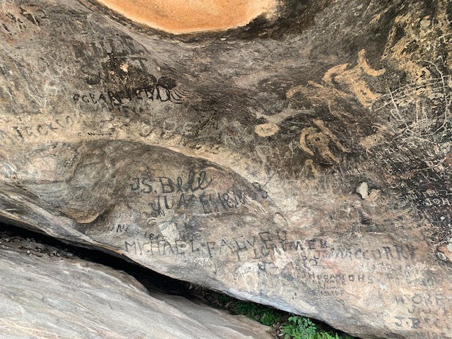
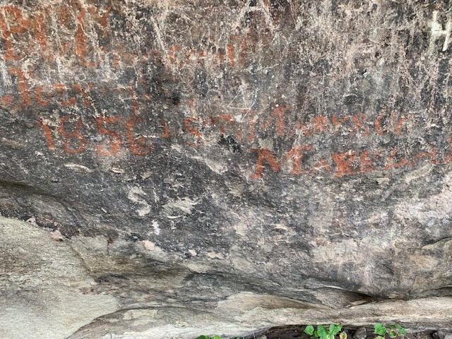
Certainly an unique man who lived a remarkable life. It was a little spiritual being where The Hermit lived and thinking a bit about his travels and how he inspired people throughout his life and left a lasting impression upon his death.


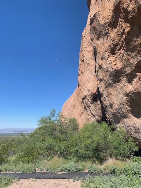

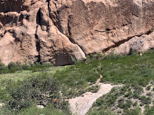
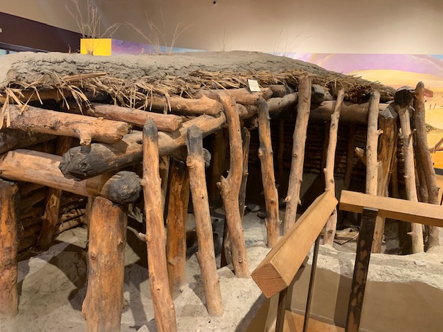
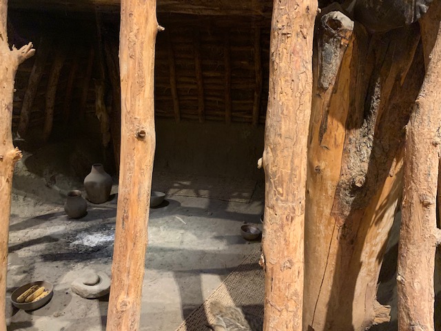
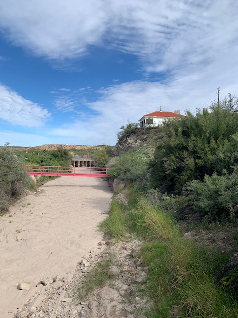
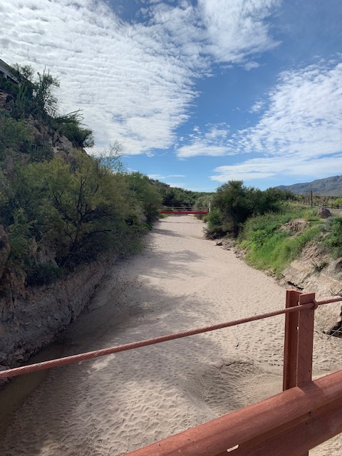
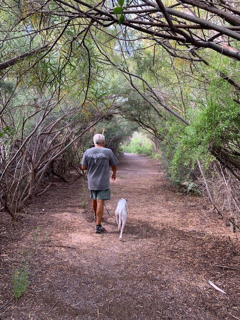
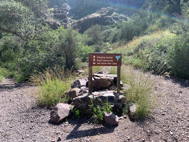
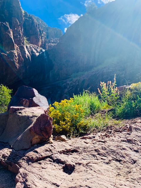
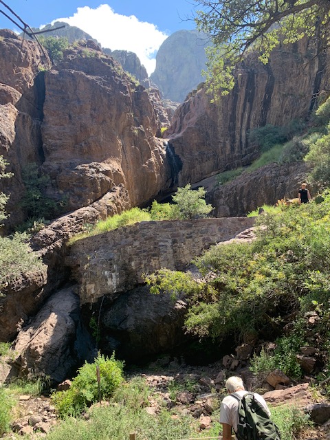
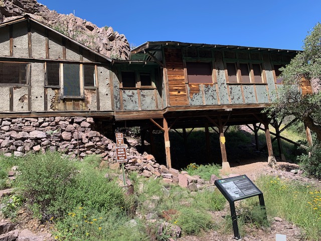
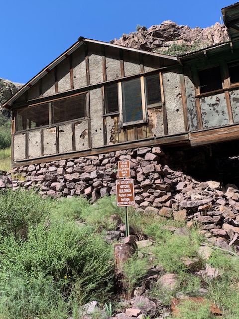
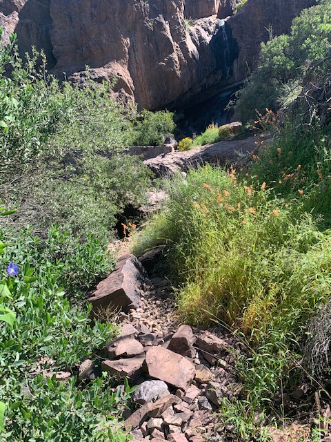
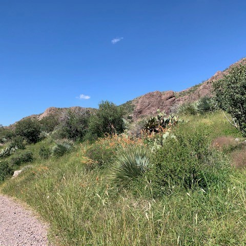
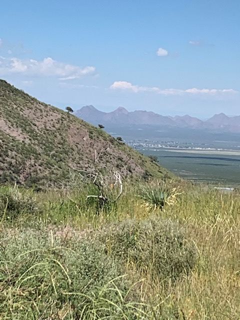
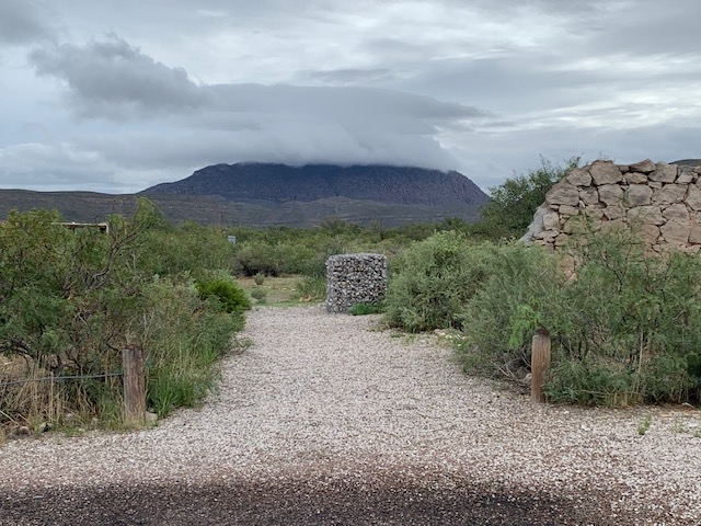
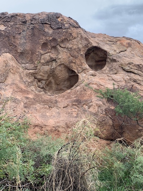
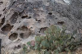
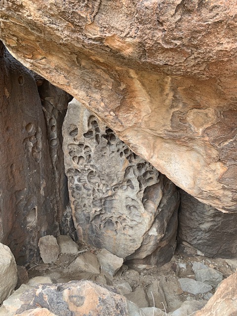
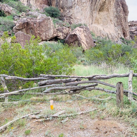
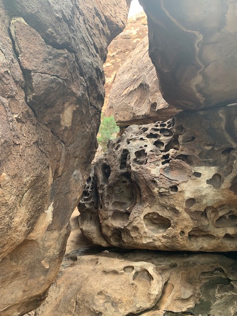
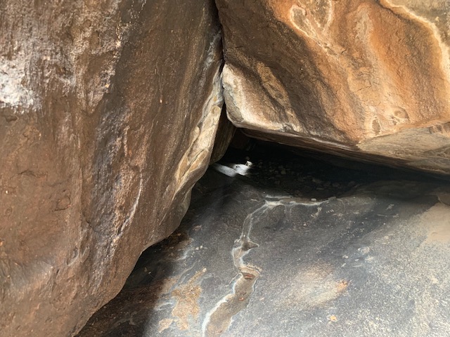
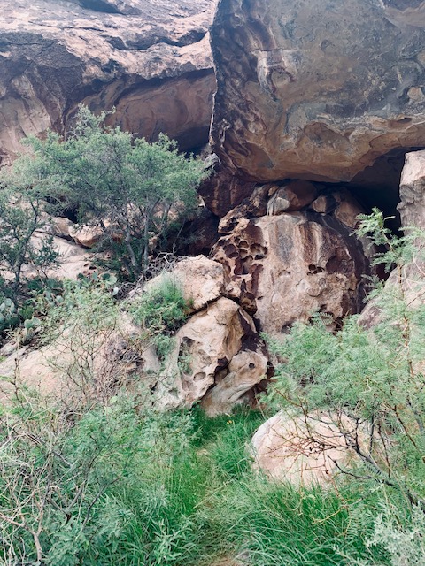
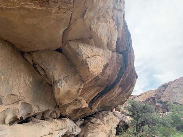
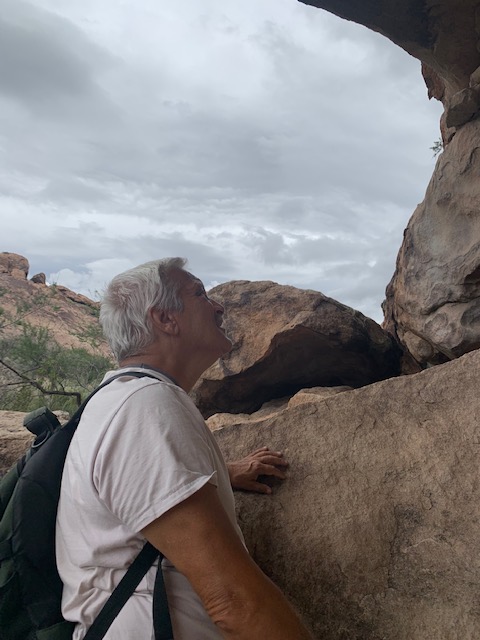
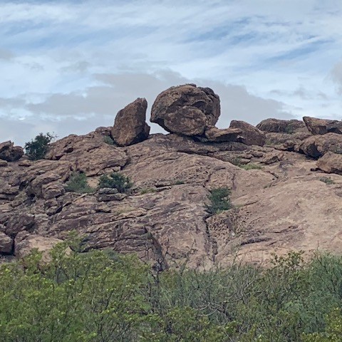
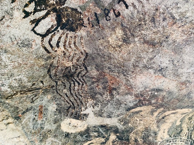
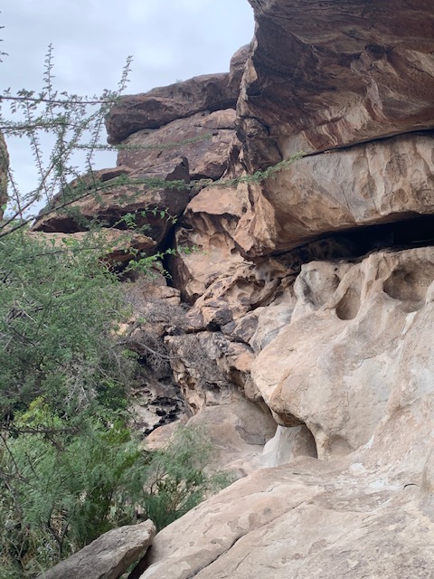
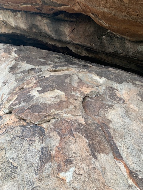
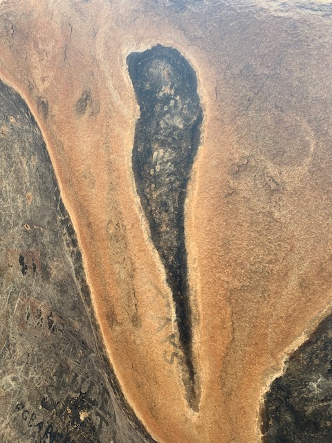
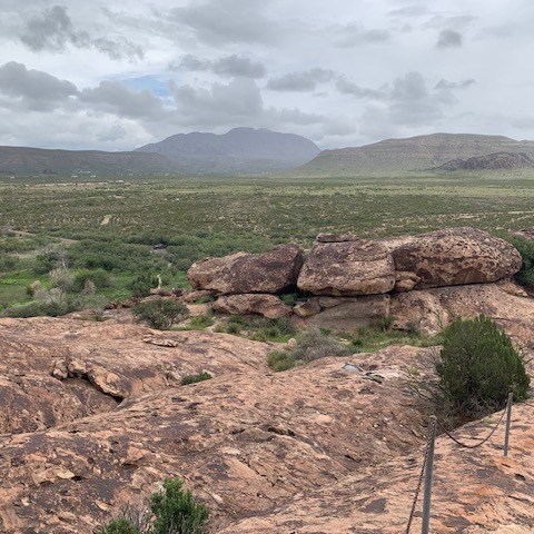
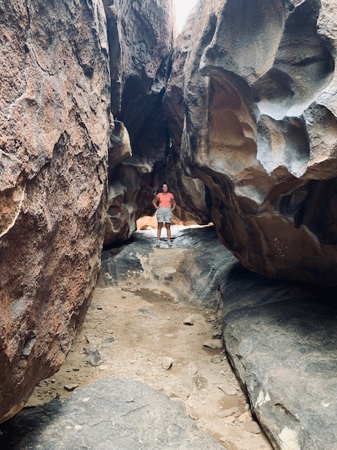
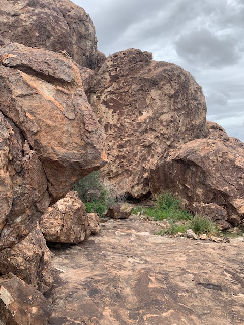
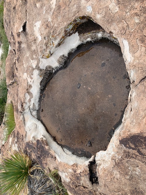
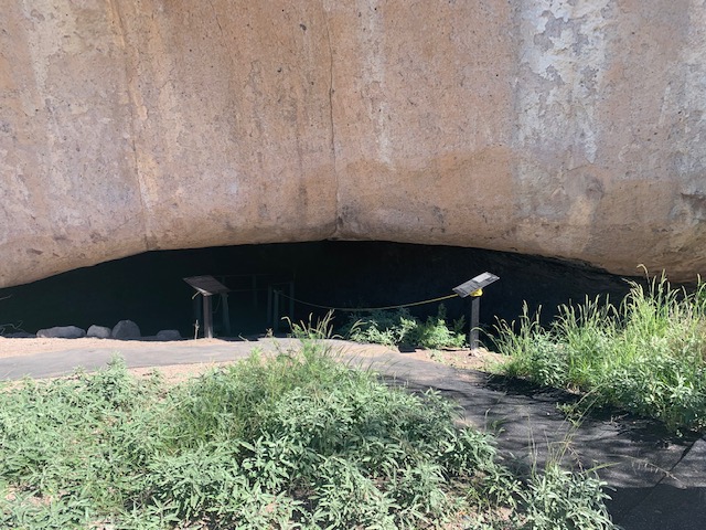
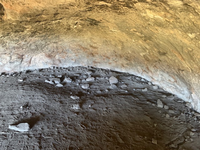
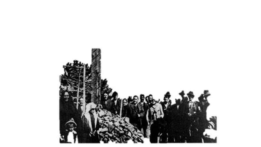
The second picture shows a tiny bit of the cave opening