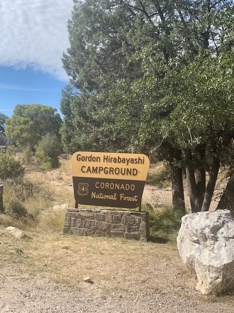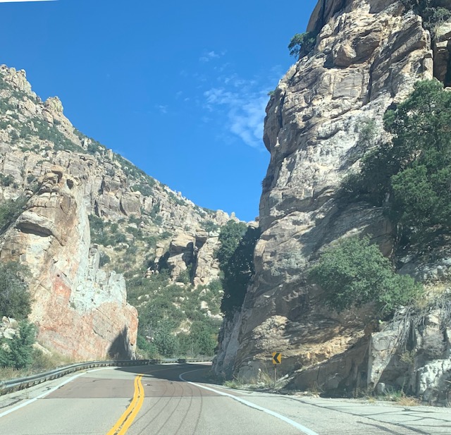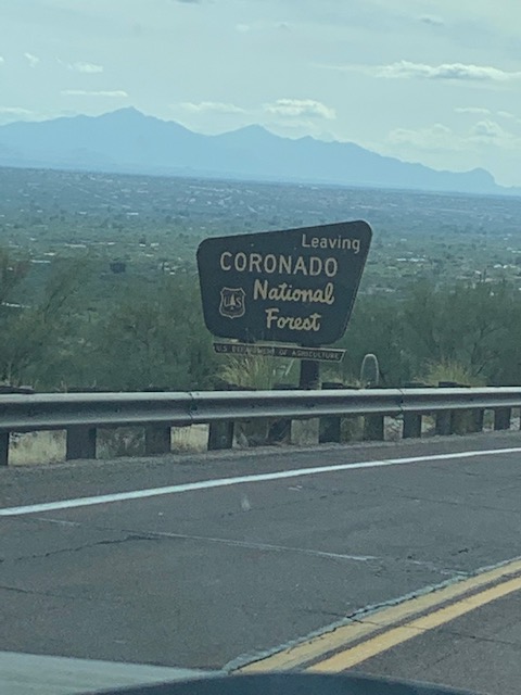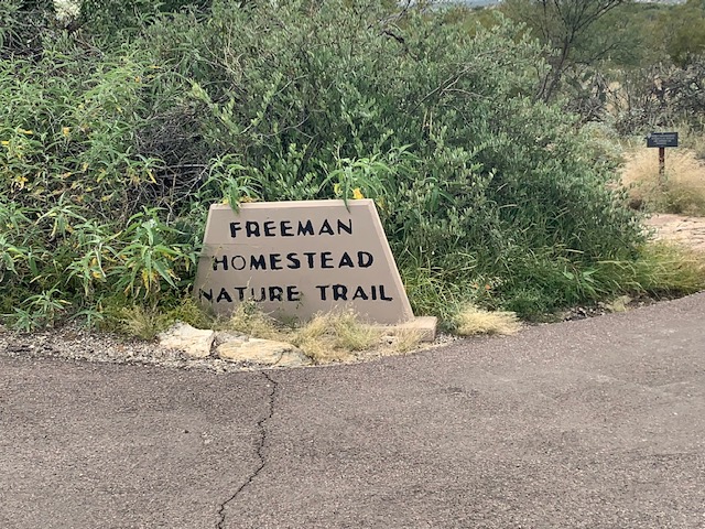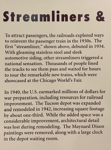
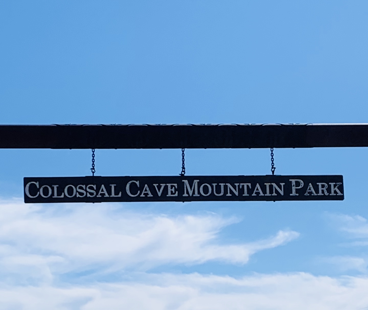
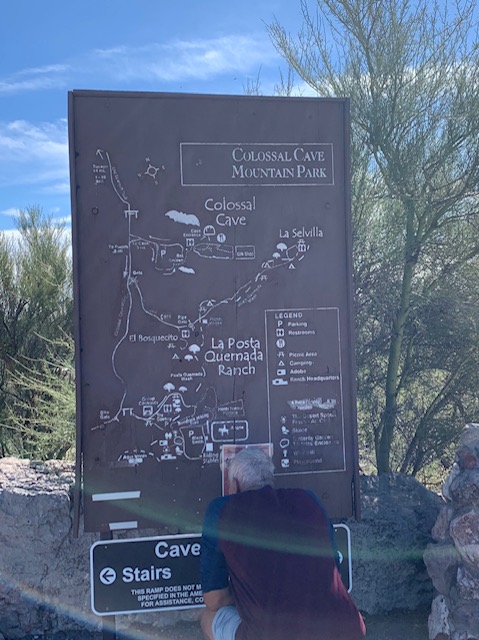
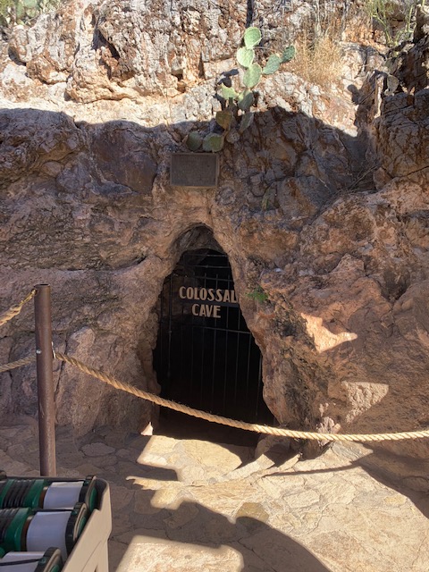
It’ been awhile since we visited a cave so we checked out Colossal Cave, located in the foothills of the Rincon Mountains, at the end of Old Spanish Trail.
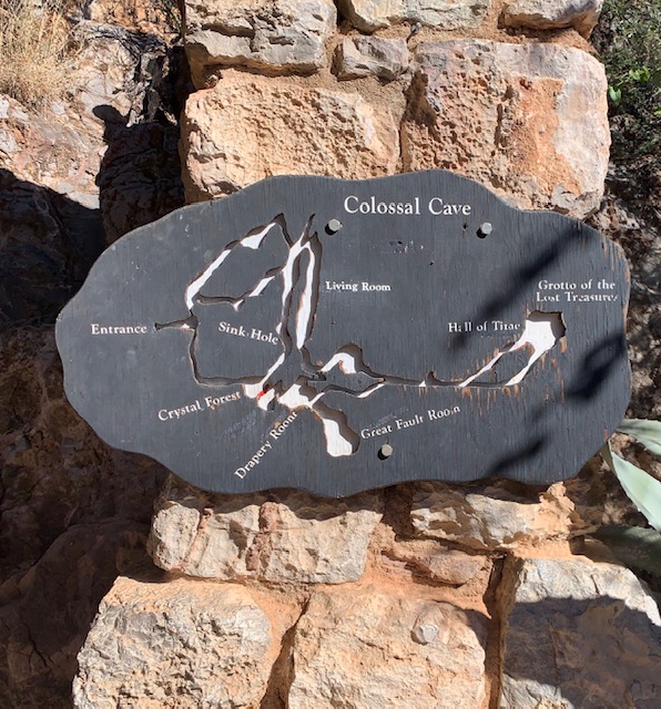
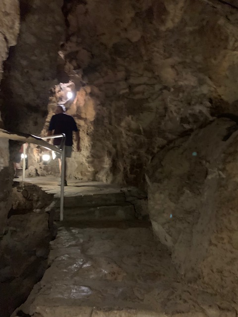
The cave has about 3.5 miles of mapped passageways. The park the cave is in covers over 2,400- acres with hiking trails, primitive camping and horseback riding.
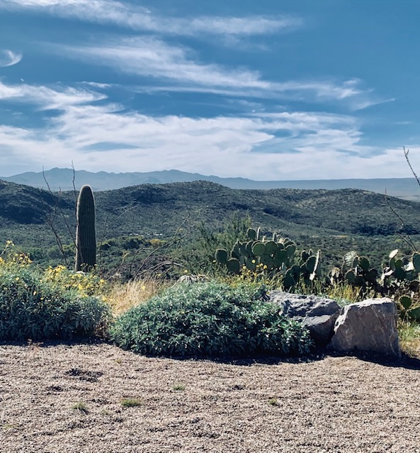
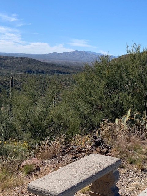
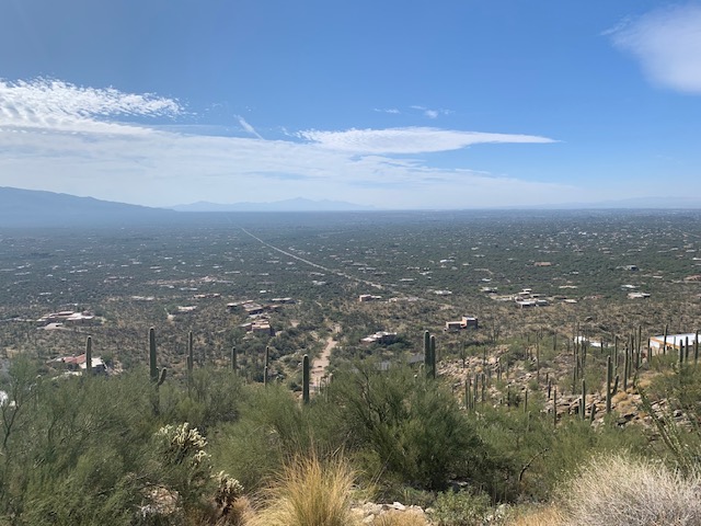
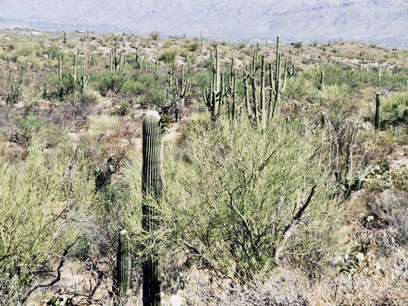
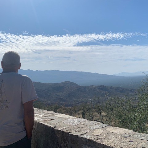
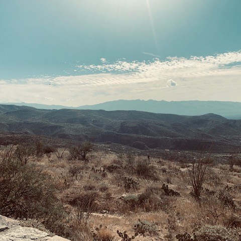
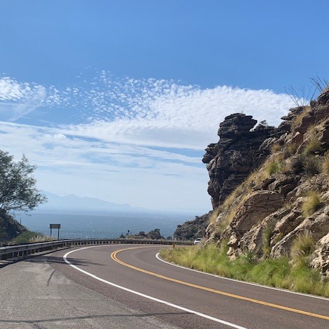
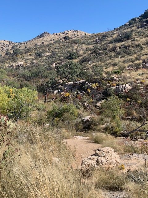
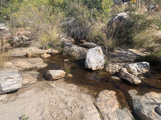
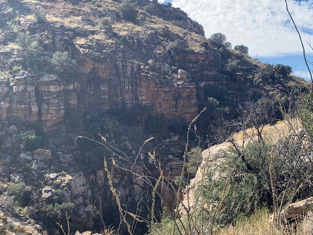
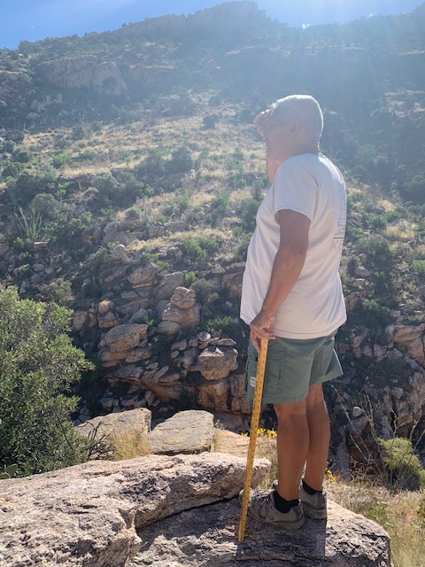
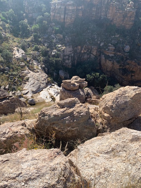
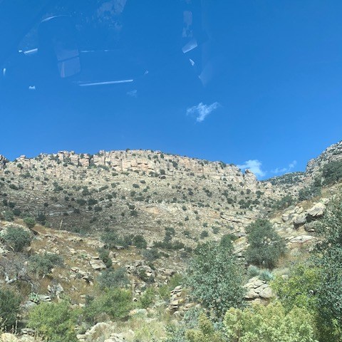
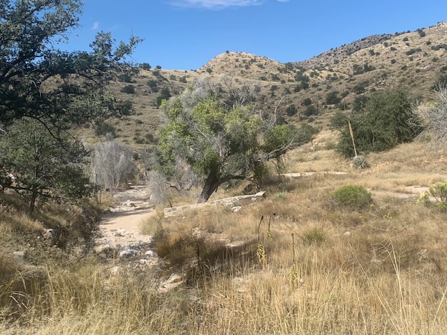
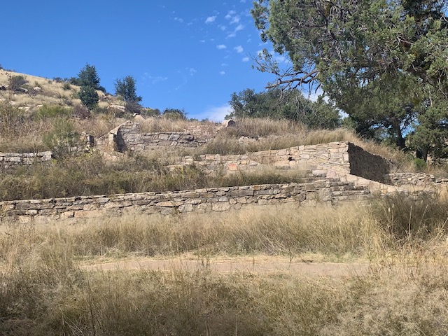
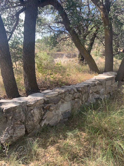
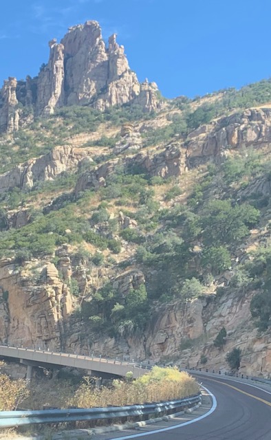
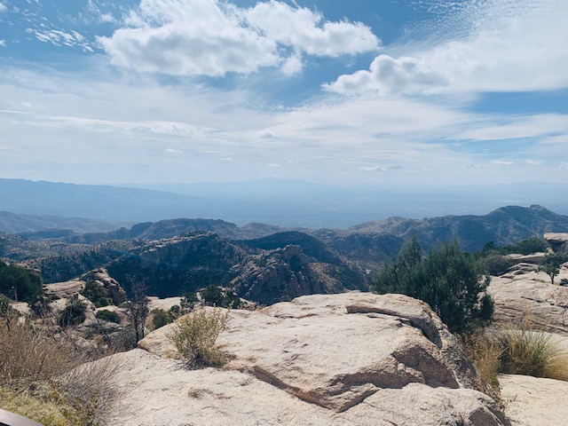
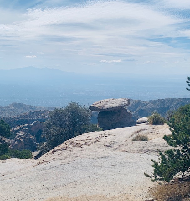
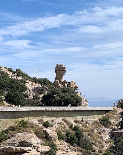
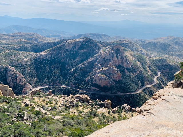
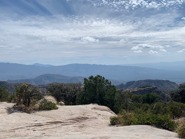
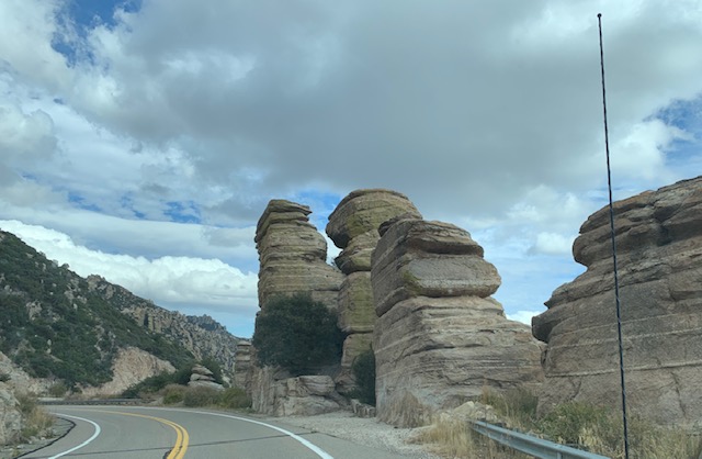
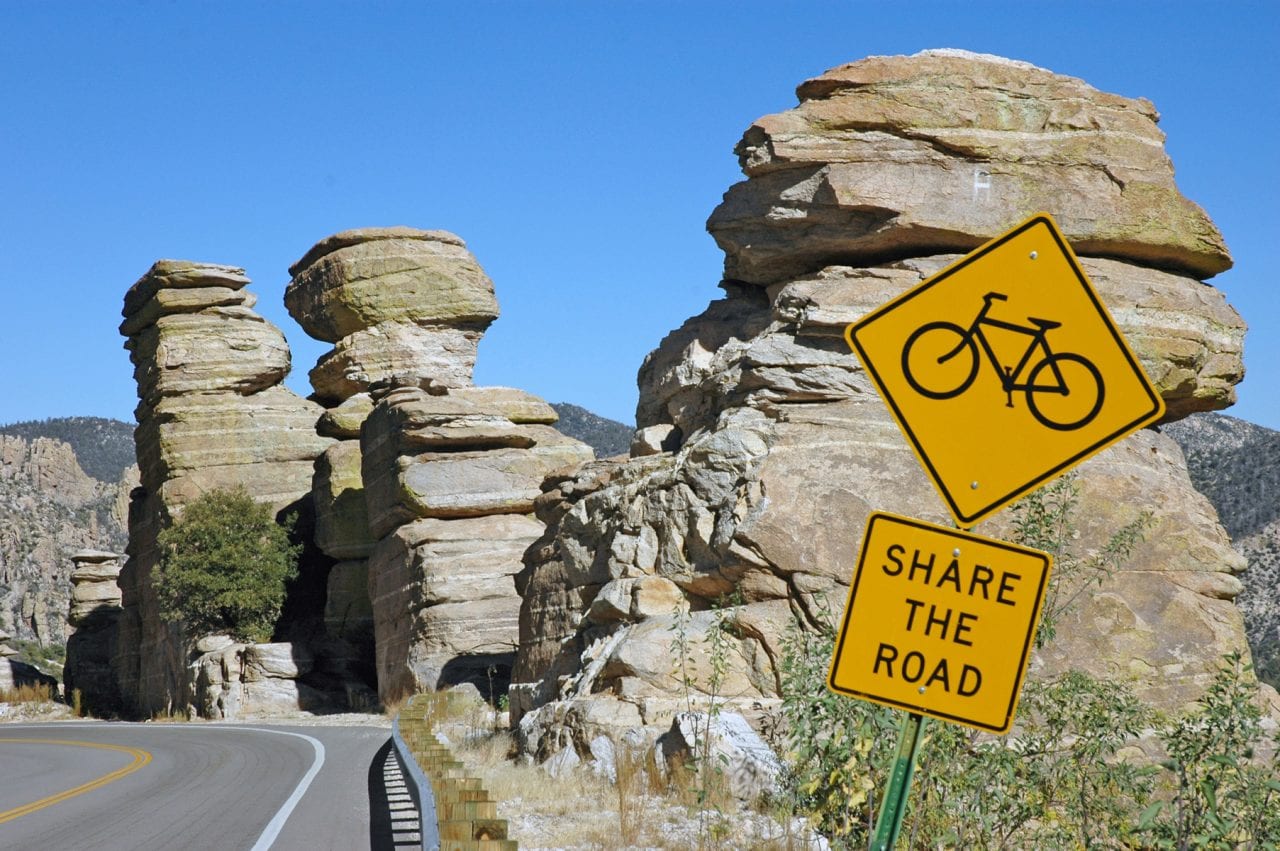
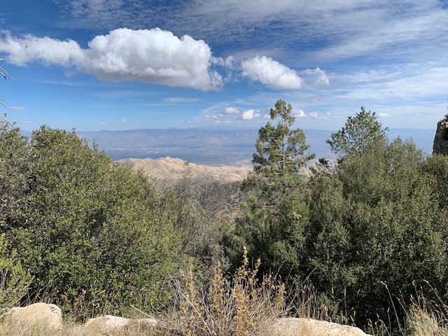
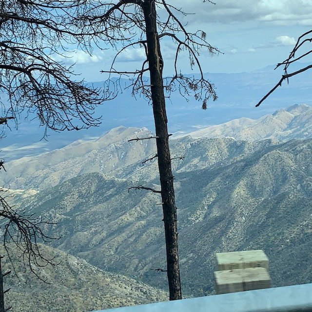
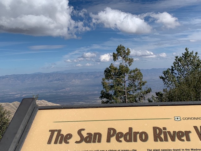
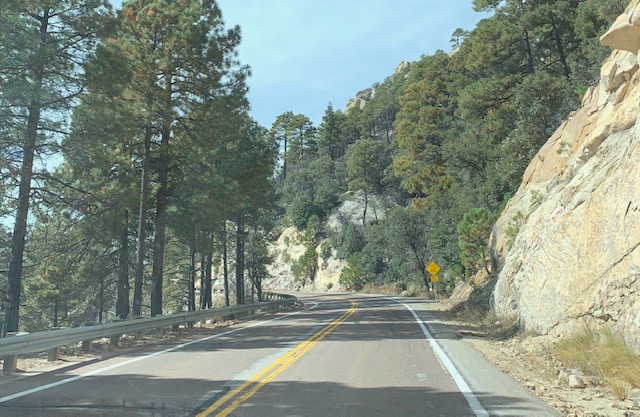
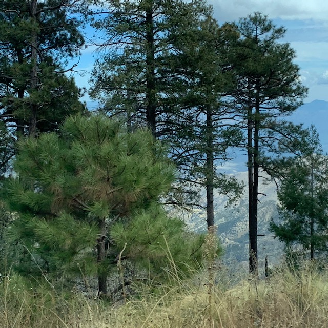
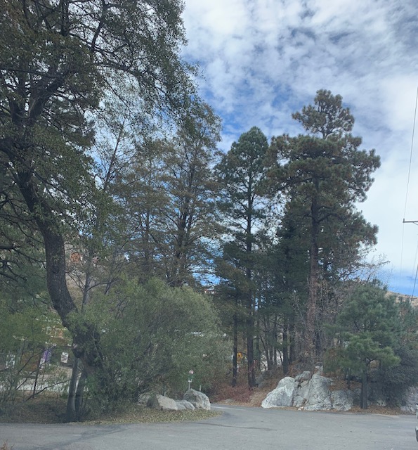
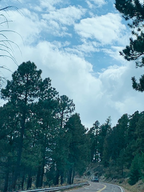
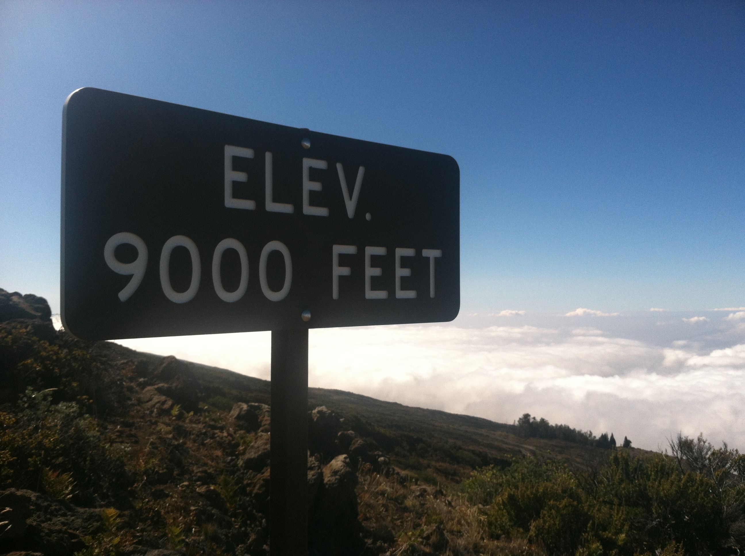
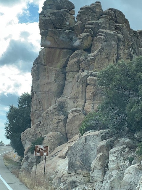
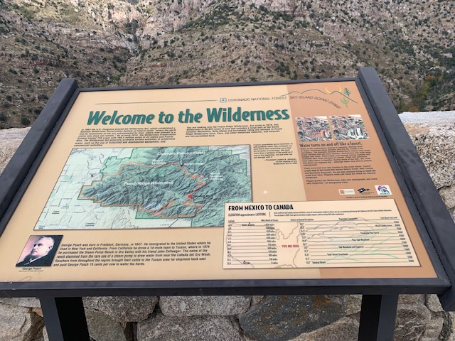
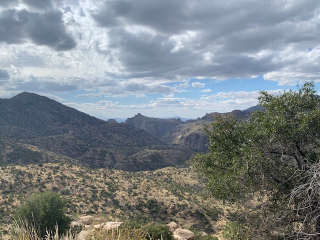
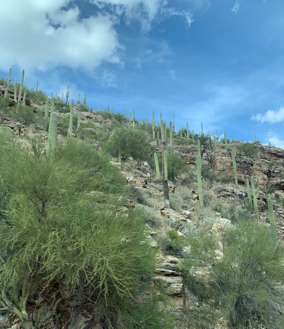
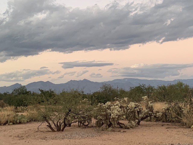
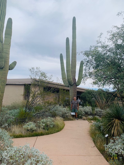
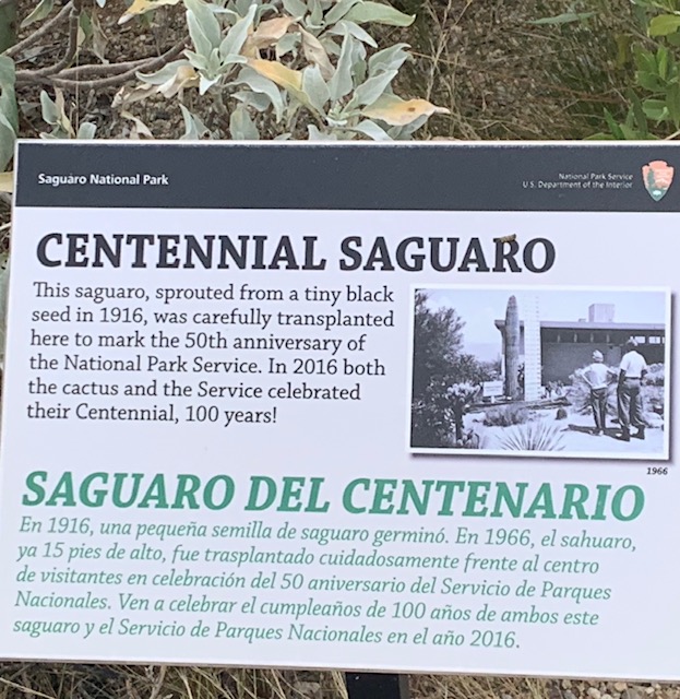
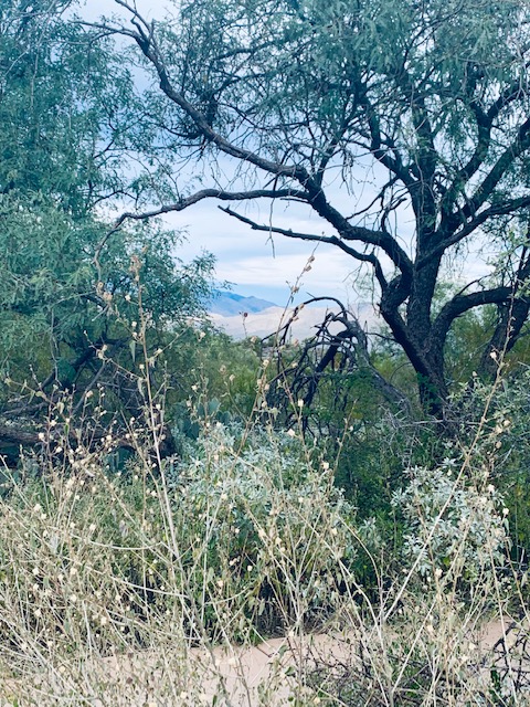
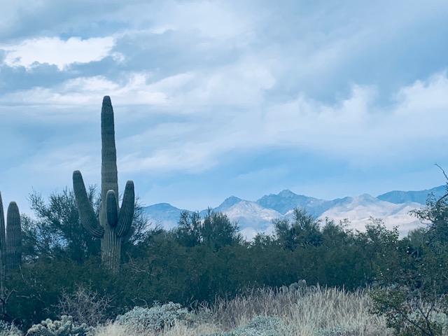
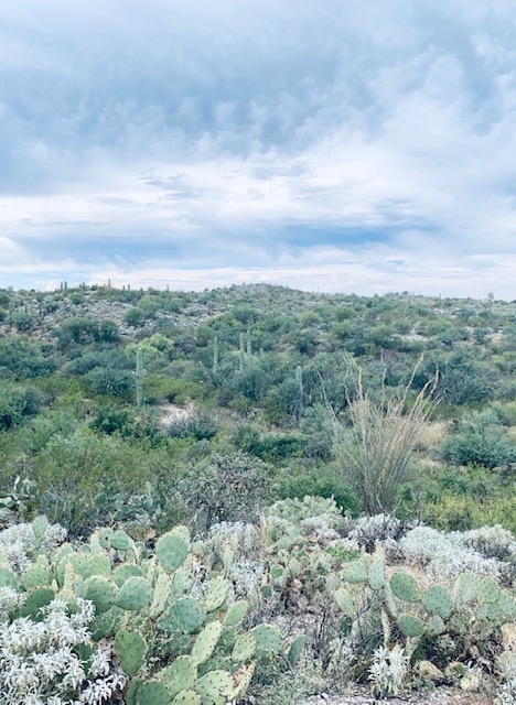
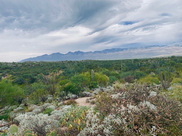
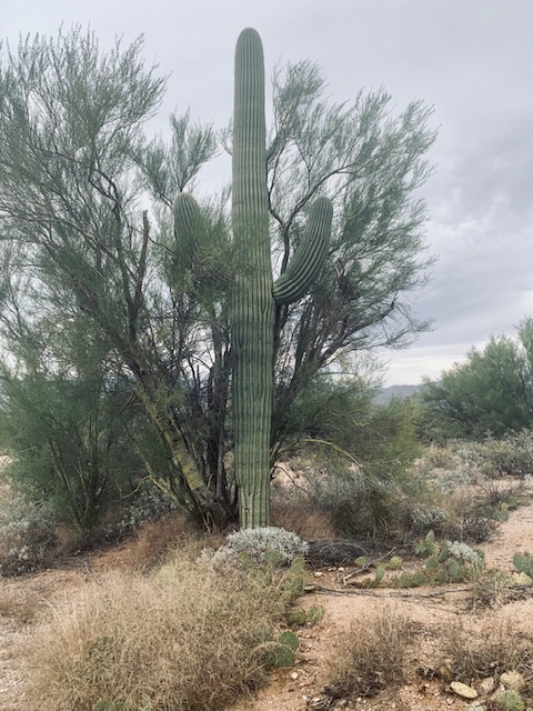
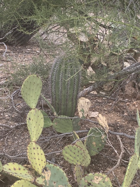
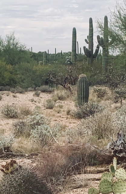
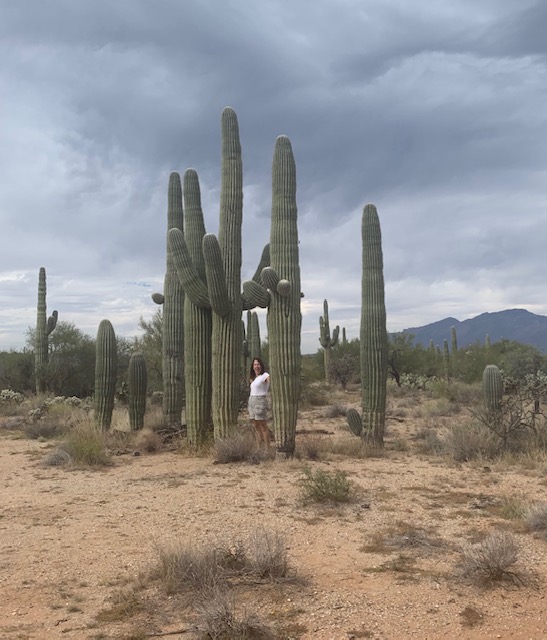
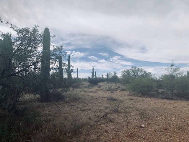
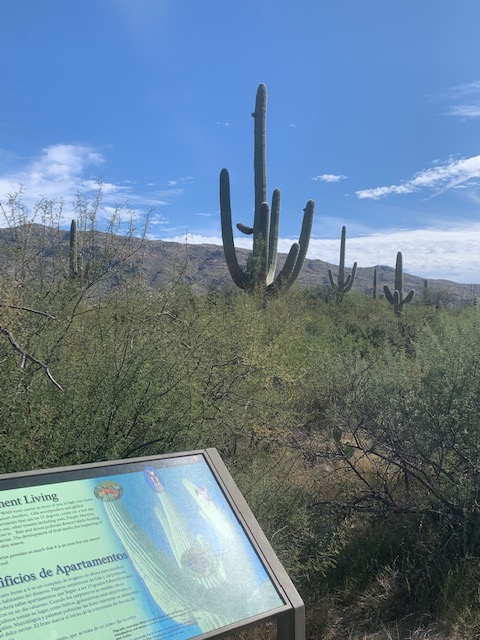
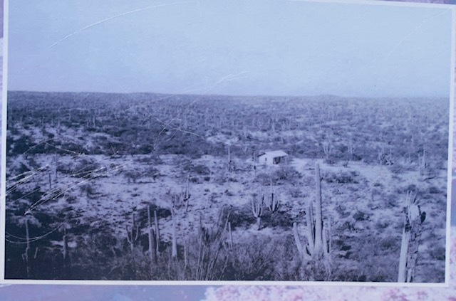
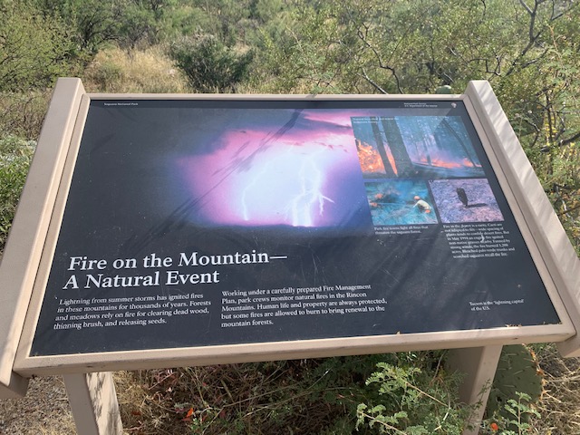
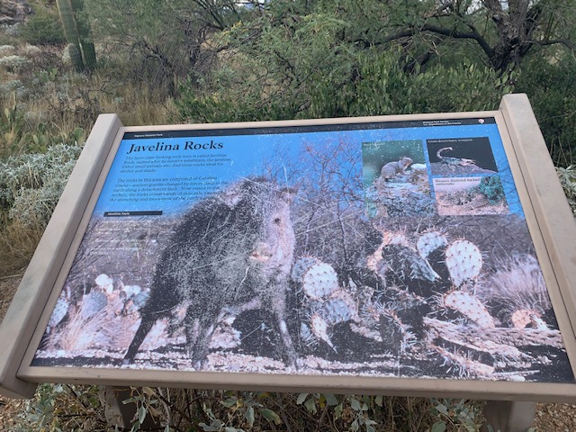
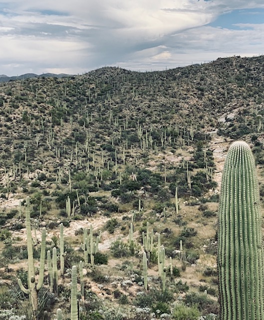
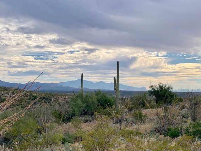
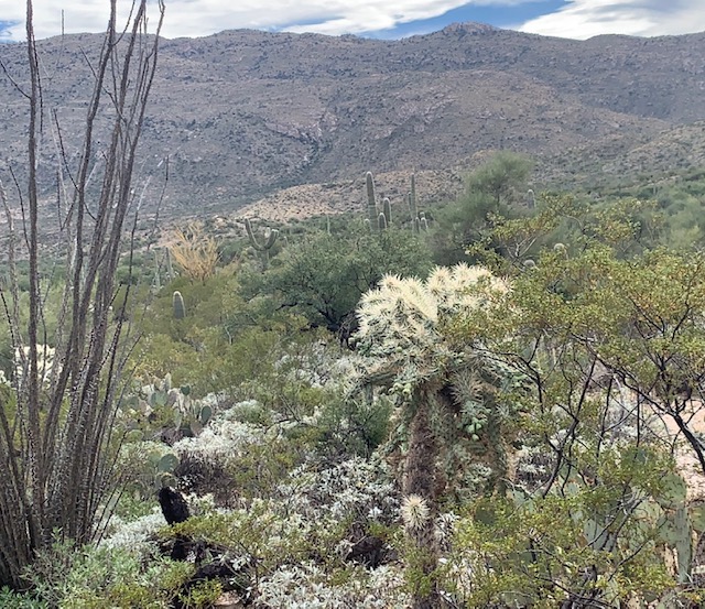
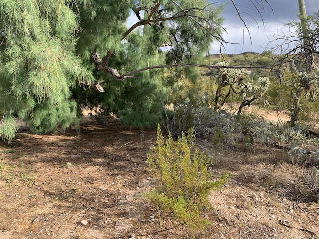
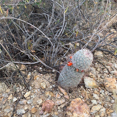
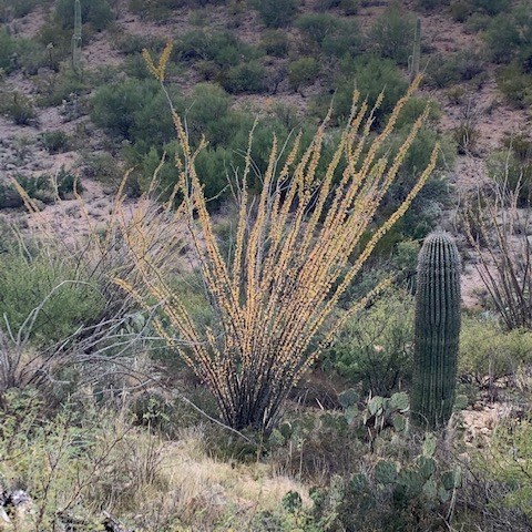
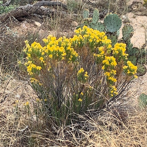
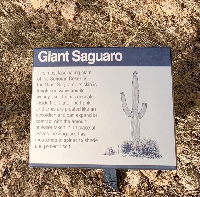
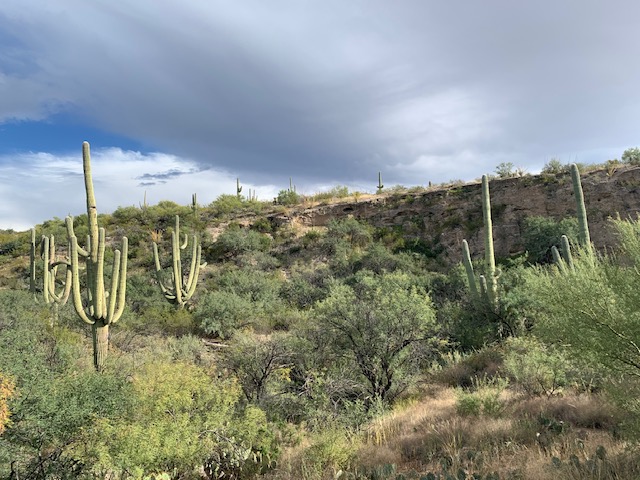
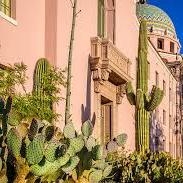
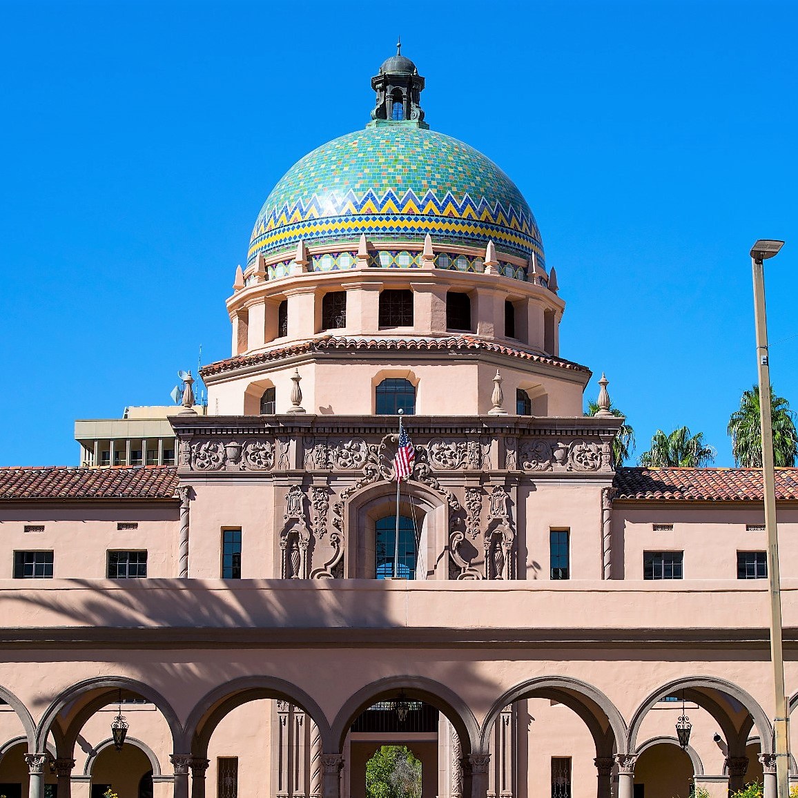
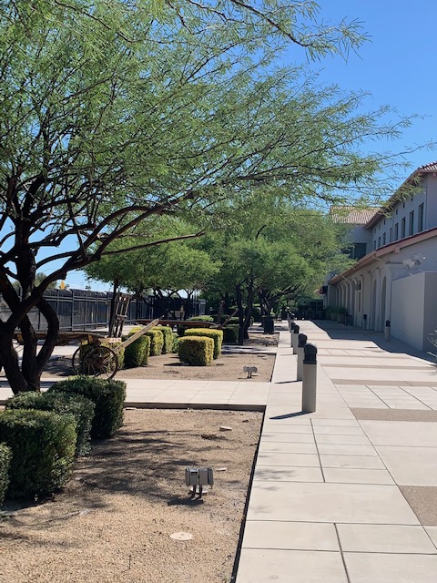
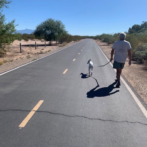
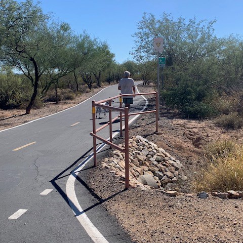
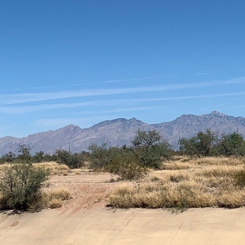
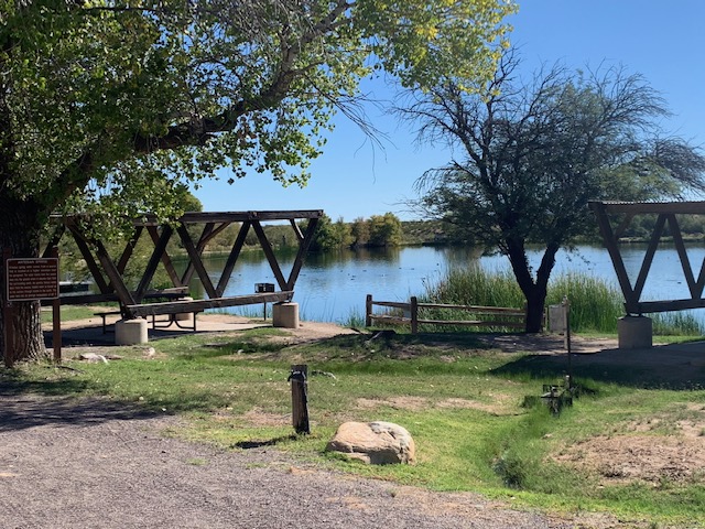
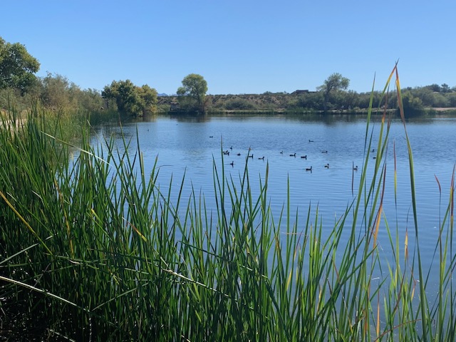
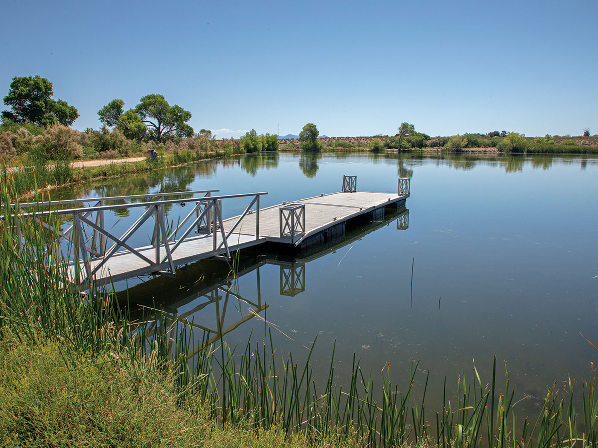
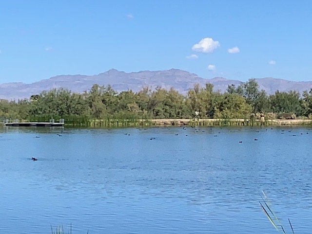
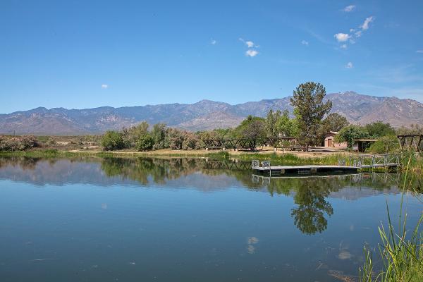
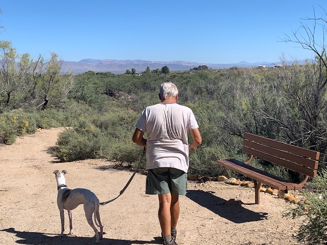
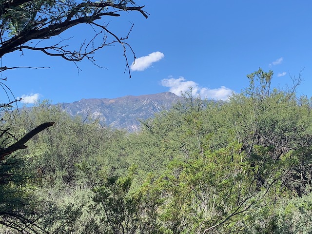
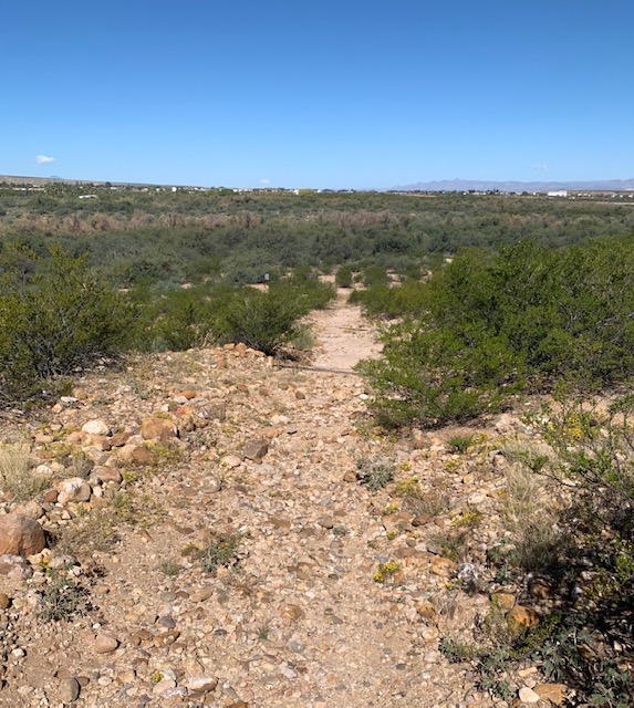
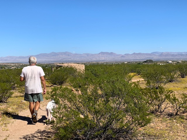
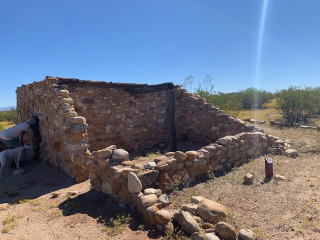
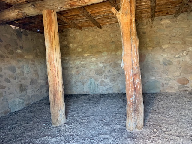
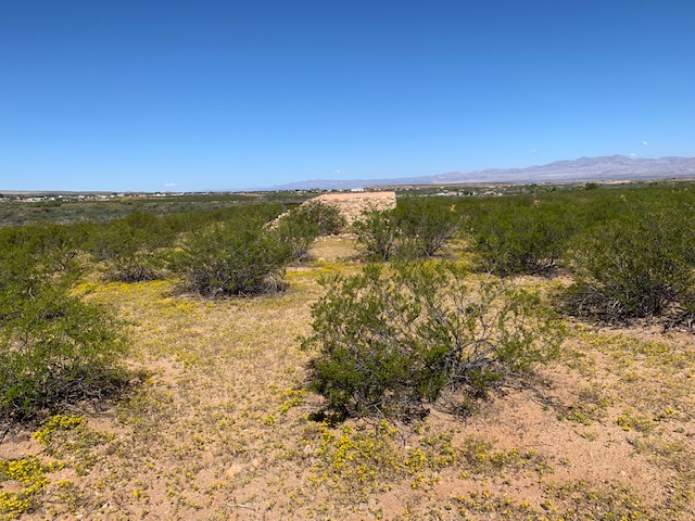
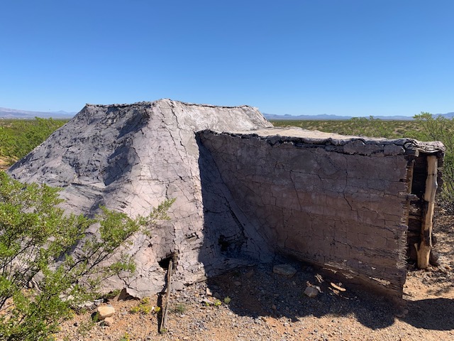
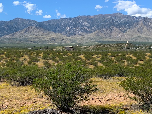
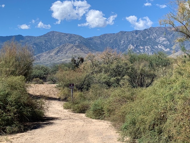
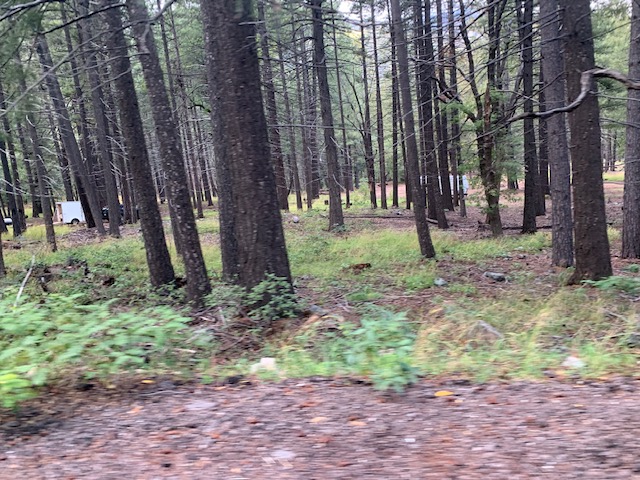
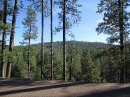
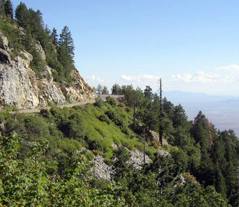
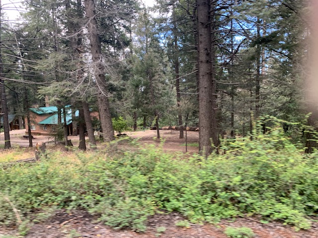
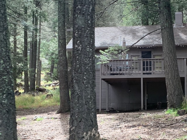
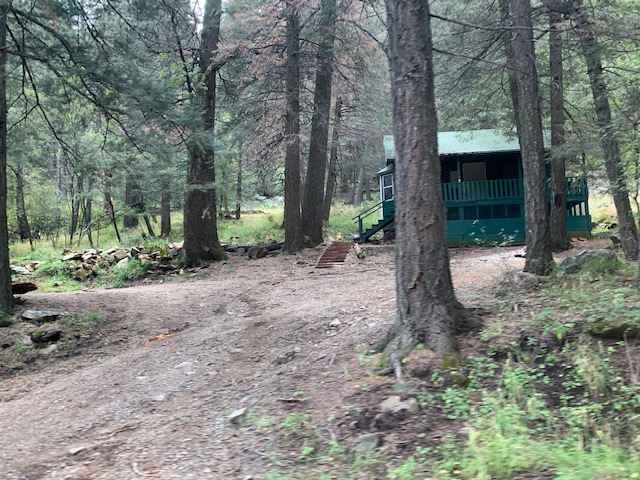
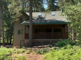
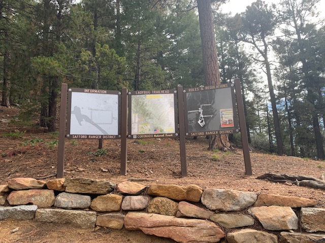
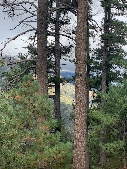
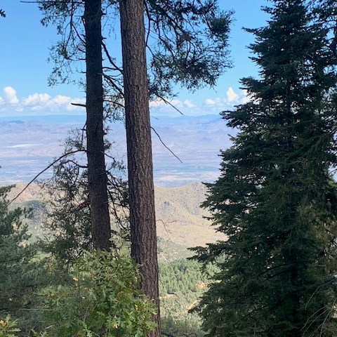
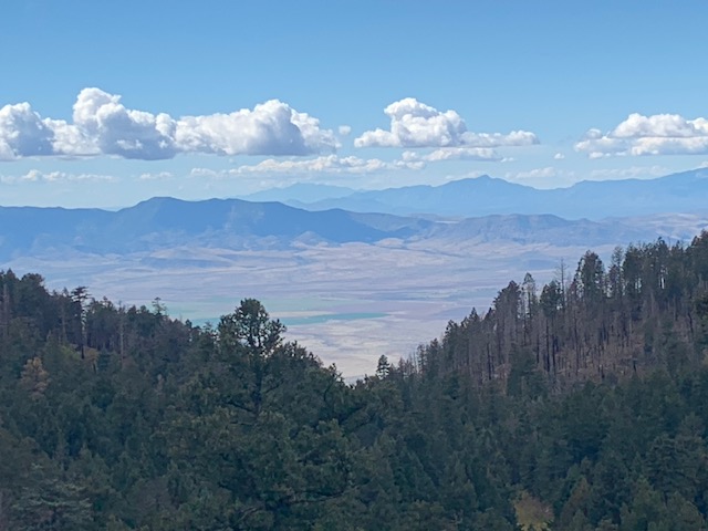
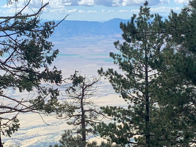
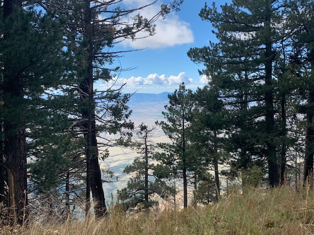
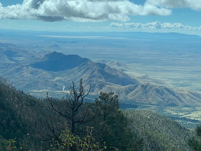
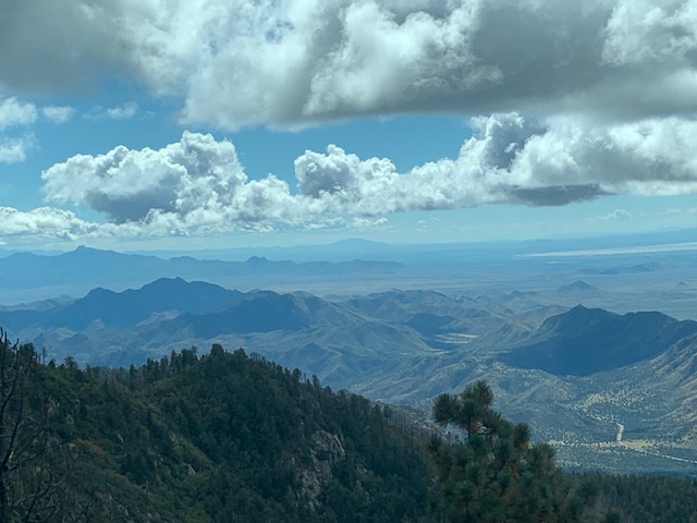
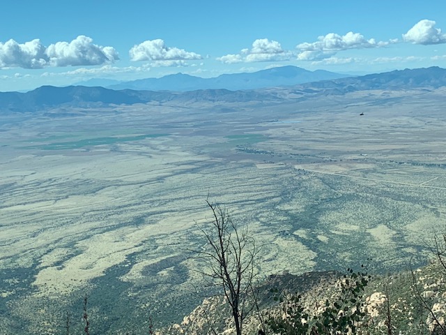
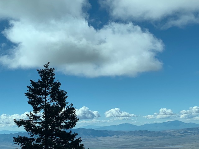
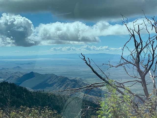
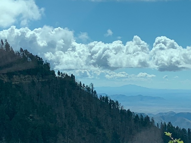
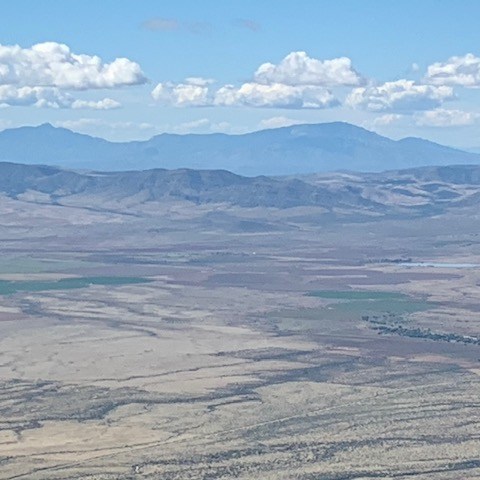
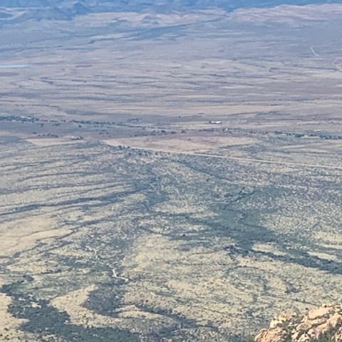
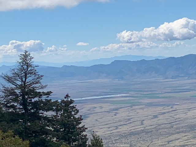
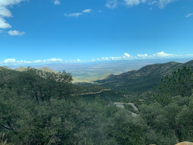
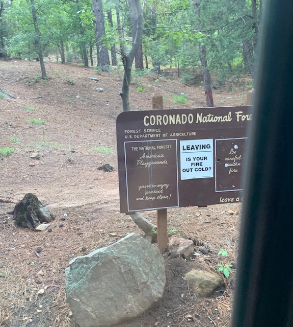
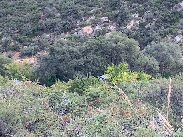
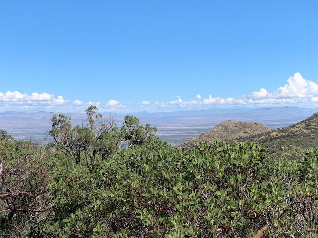
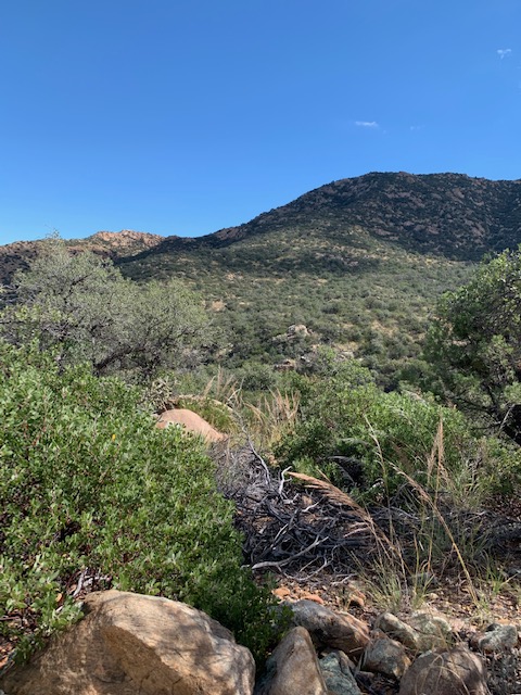
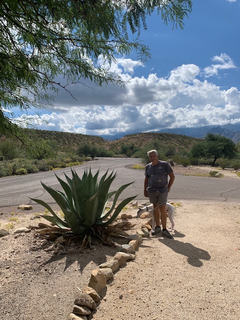
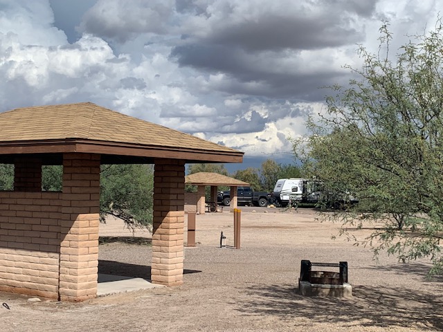
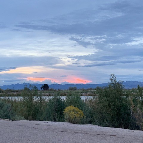
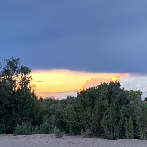
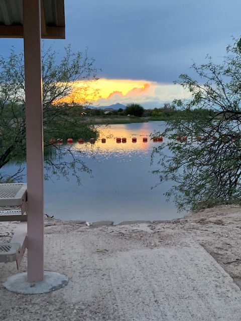
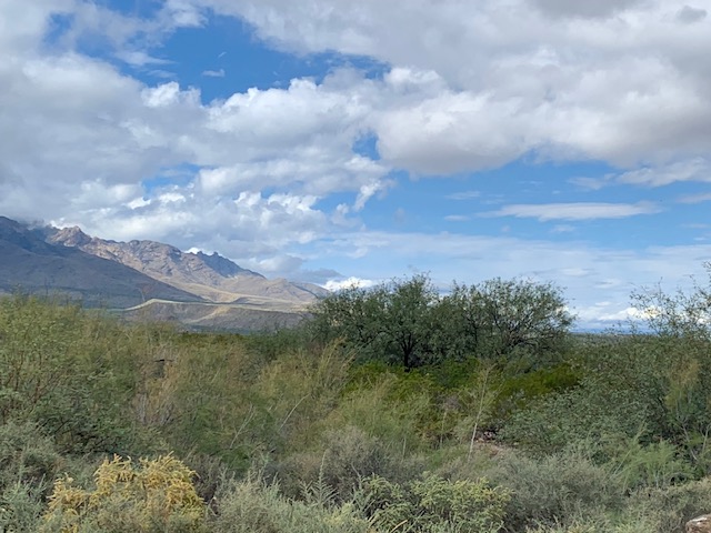
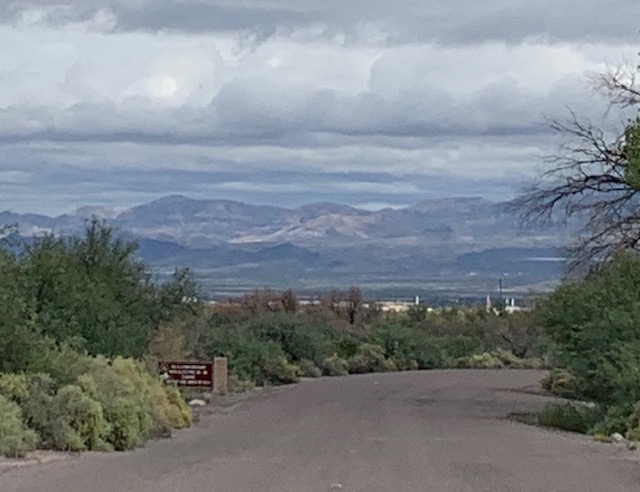
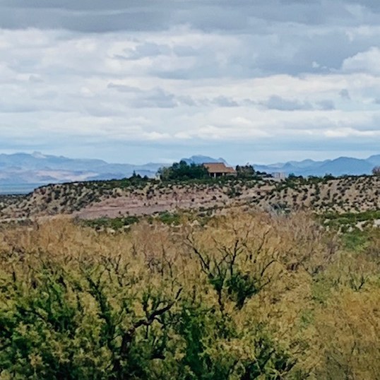
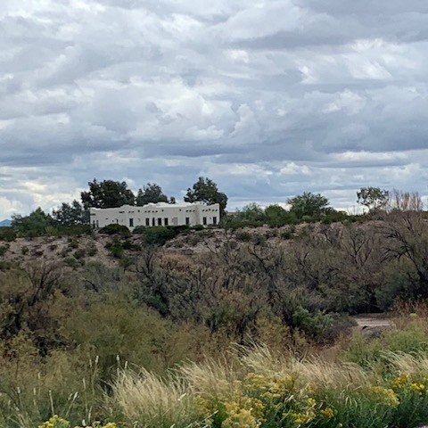
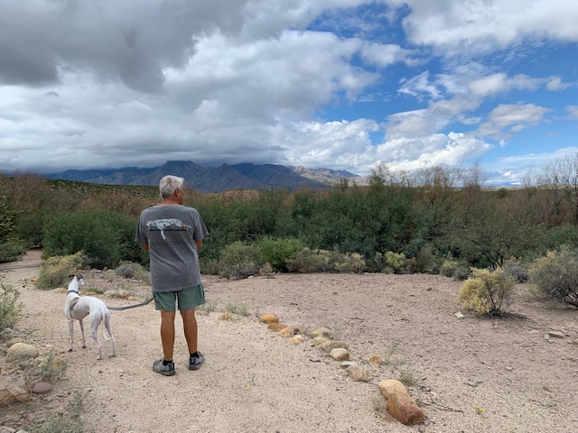
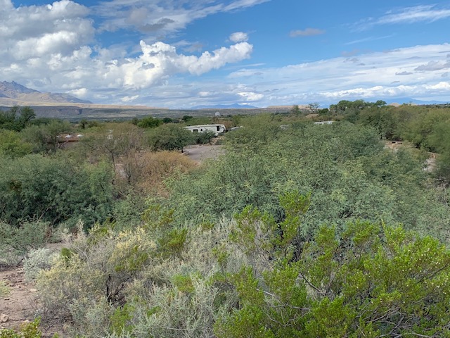
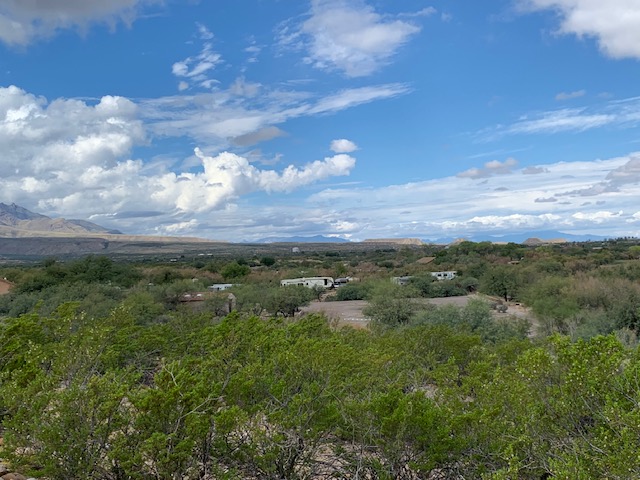
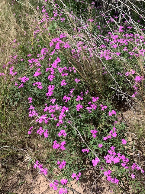
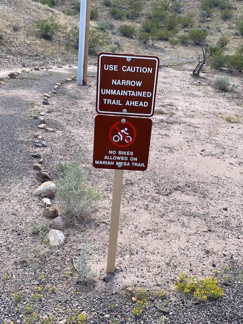
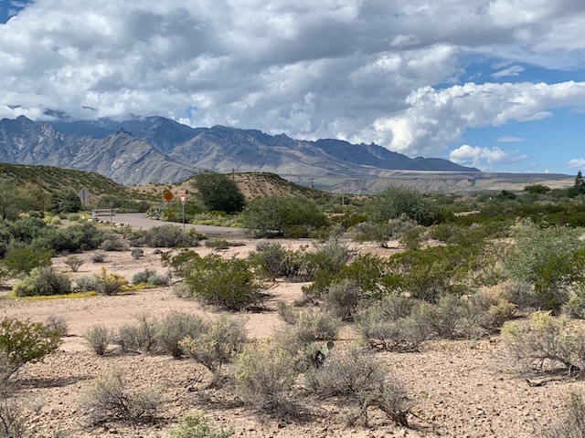
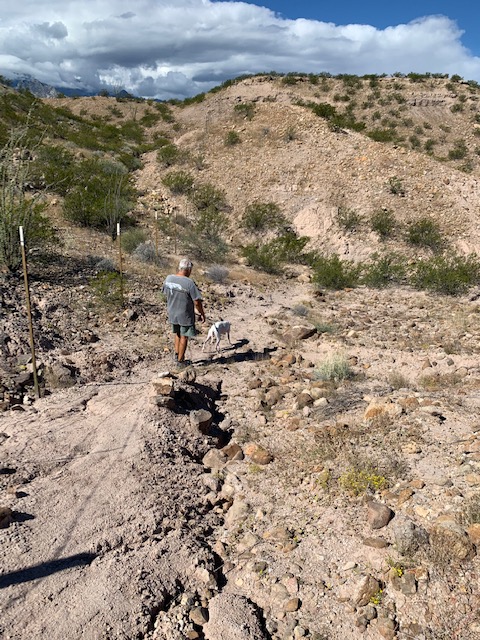
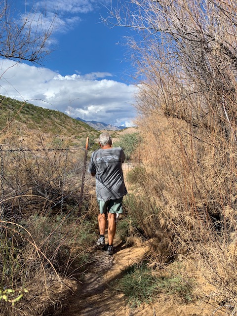
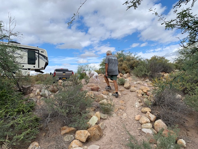
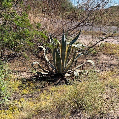
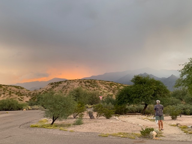
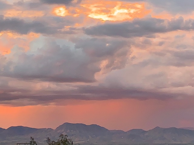
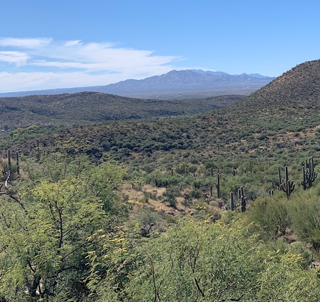
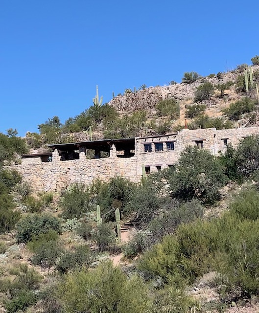
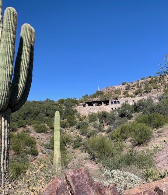
Views of the park.
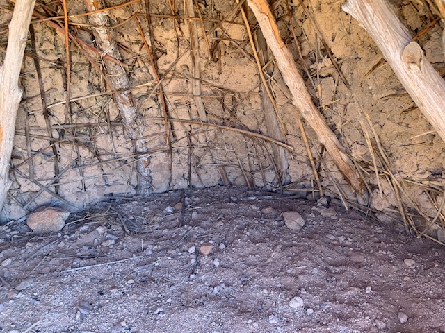
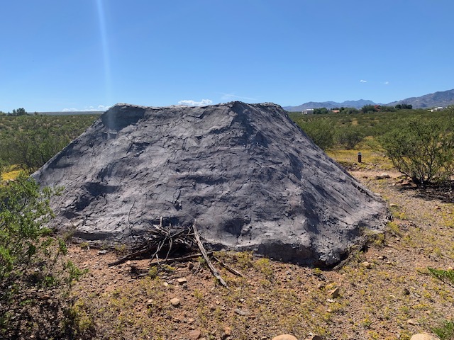
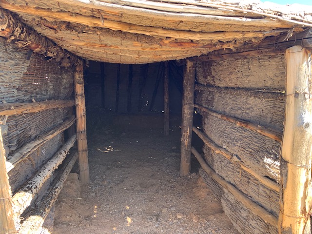
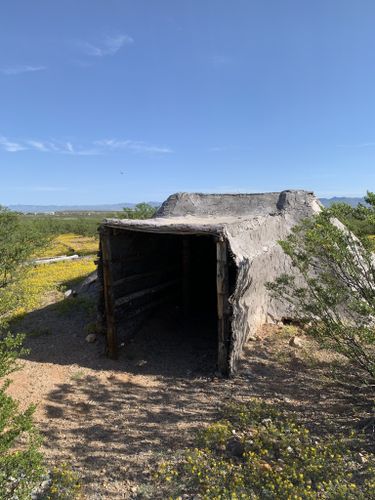
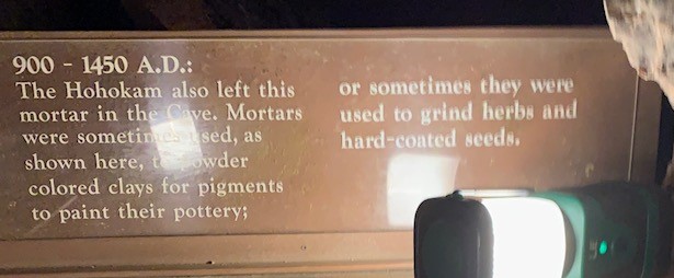
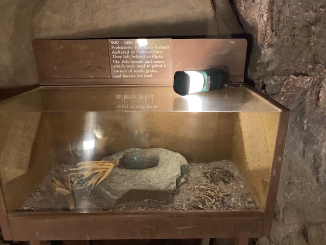
The cave was formed a couple hundred million years ago, the cave system was used by native tribes about a thousand years ago, where there’s still evidence of a fire pit and smoke residue near the cave entrance.
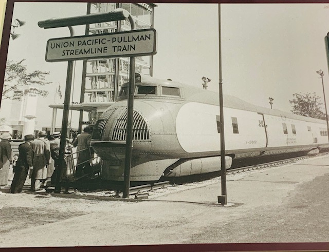
Around 1879 the owner Solomon Lick discovered an opening that he thought was a mine, upon further investigation it was a cave, a Colossal Cave.
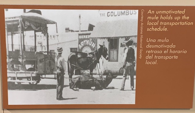
According to cave’s history, three men robbed the same Southern Pacific train twice in a four month period. They escaped with thousand of dollars in currency, gold and silver. The sheriff and his posse tracked the bandits to the cave. After a shootout, just one of the train robbers survived. As the legend goes, he served almost two decades in prison in Yuma and never confessed to where the treasure was.
What happened to the stolen money is unclear. People are still looking for it today.


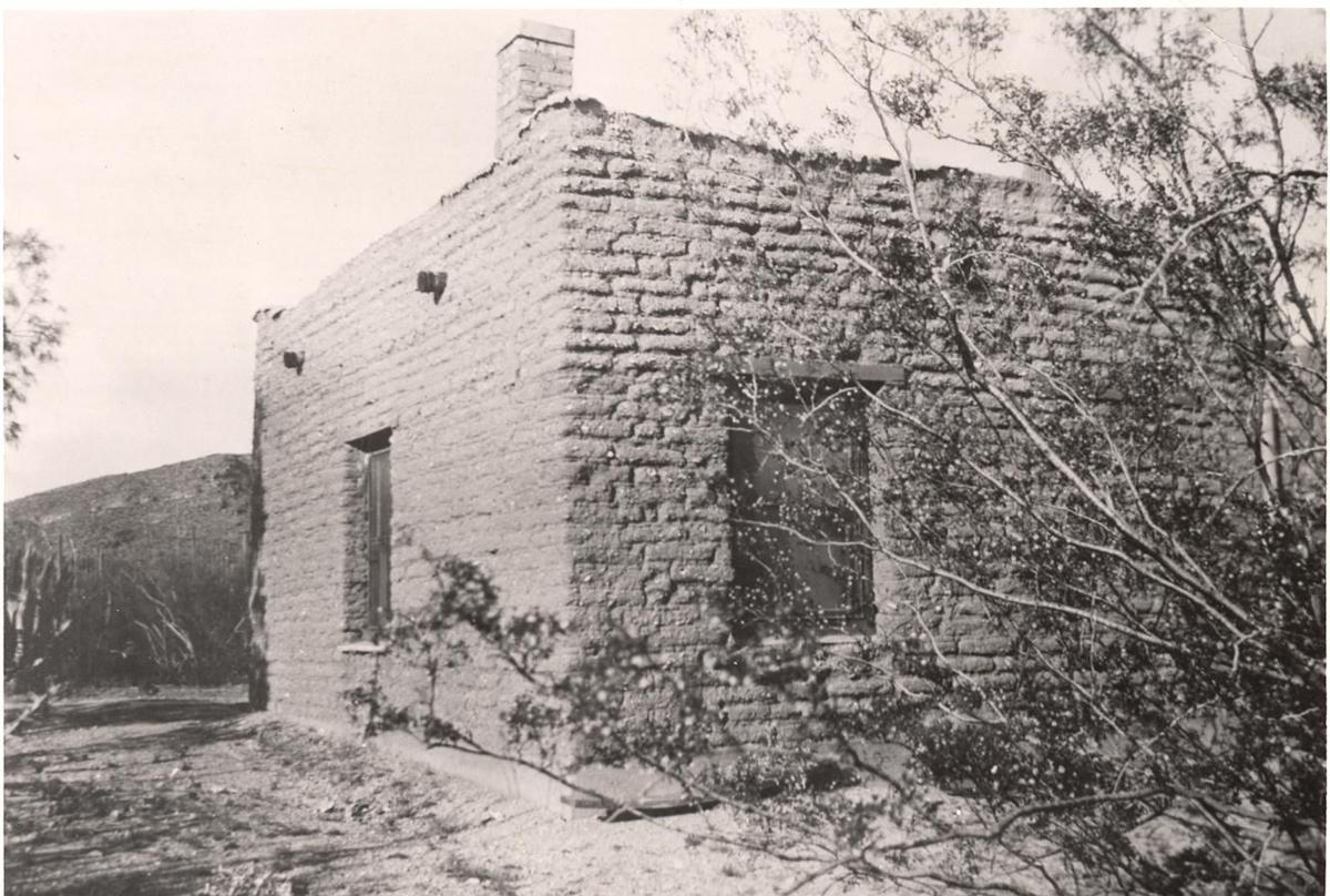
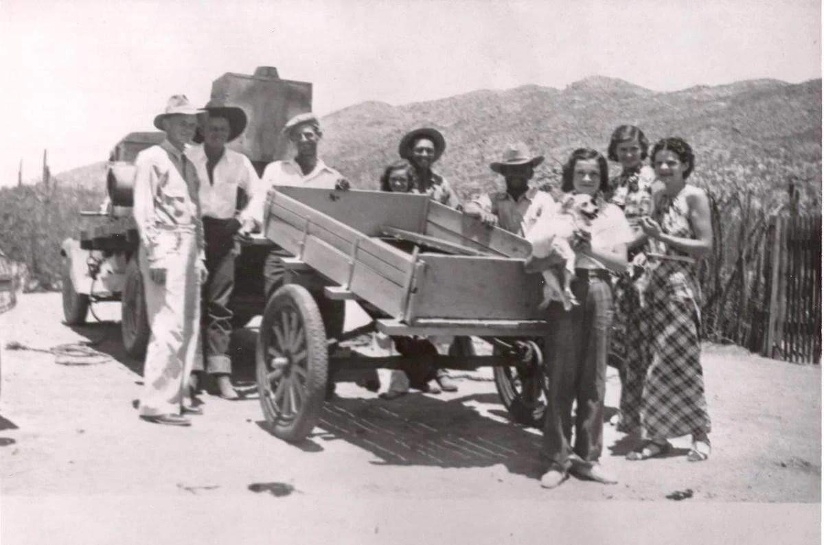
Colossal Cave had a few owners over the years, one of them Frank Schmidt. He became the owner in 1922. He and his family lived in a house in the winter months but in the heat of Arizona’s summers, the family lived in the cave. After all the cave has a constant temperature inside of 70 °year-round.
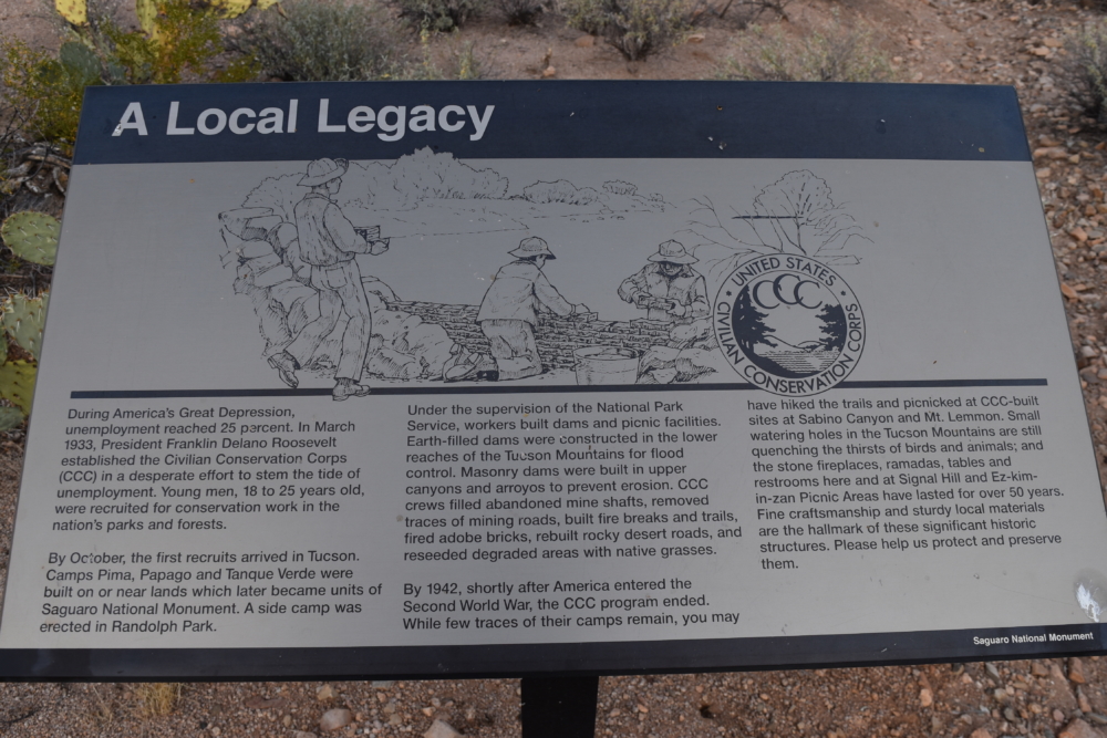
By 1930 Colossal Cave was well known and the public – especially the Arizona Daily Star newspaper – demanded its transformation into a National Monument. Schmidt agreed to hand everything over to the state and the CCC in 1934, if he and his family could still stay in the cave. The state agreed.
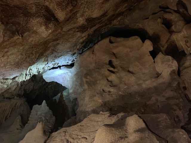

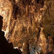
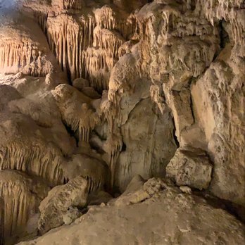
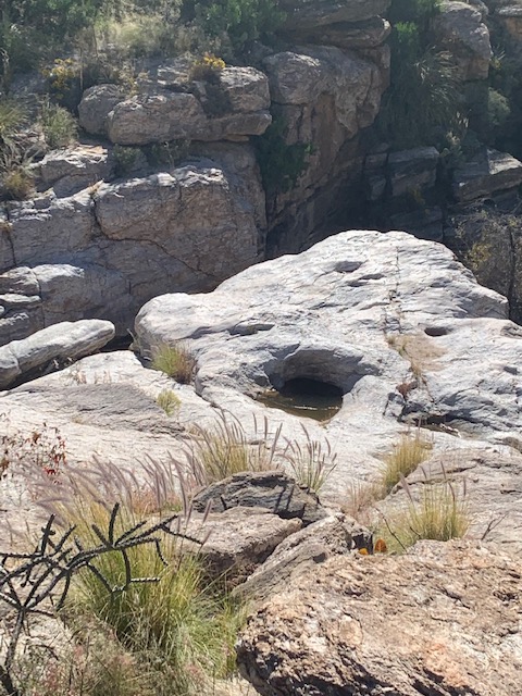
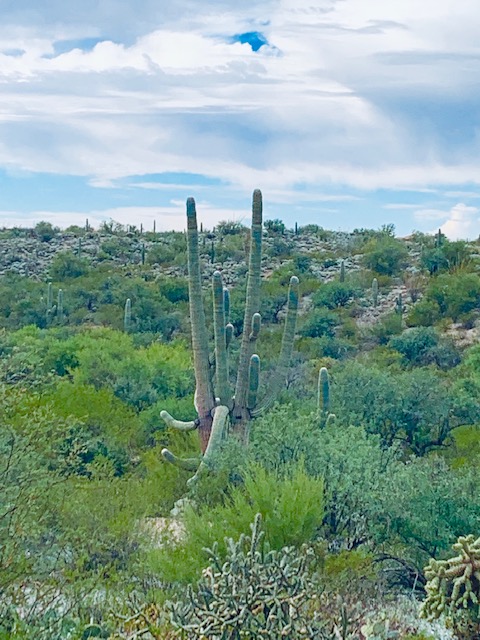
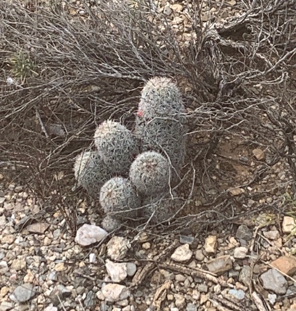
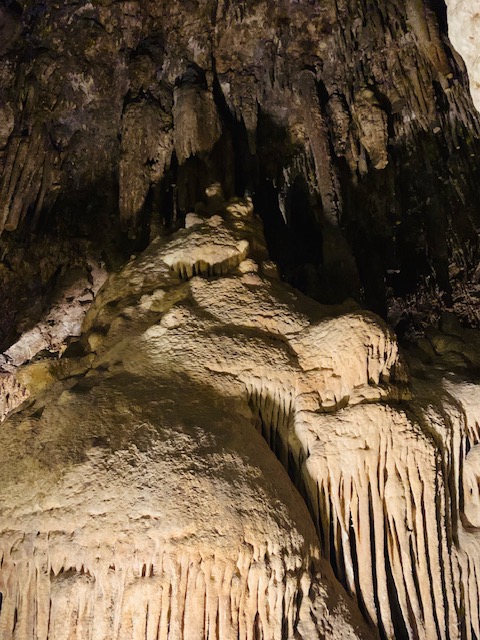
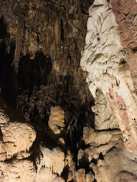
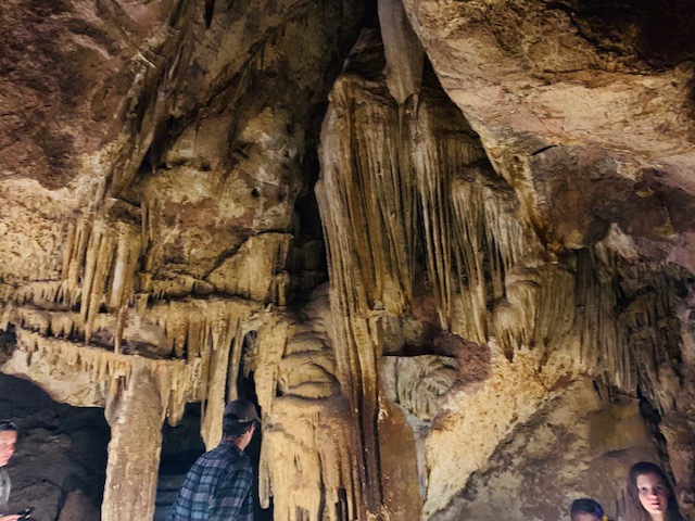
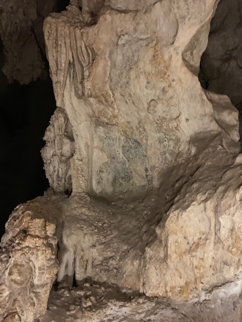
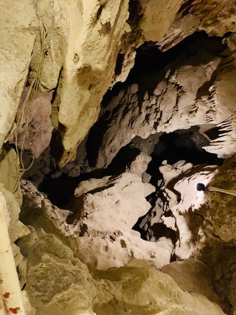
More stalactites, stalagmites, columns and draperies.
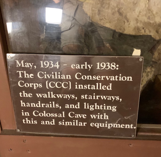


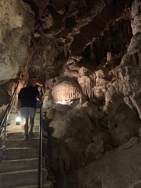
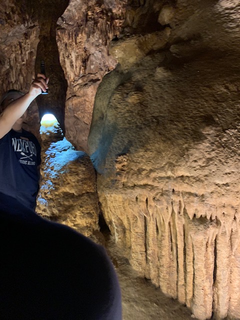
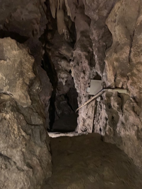
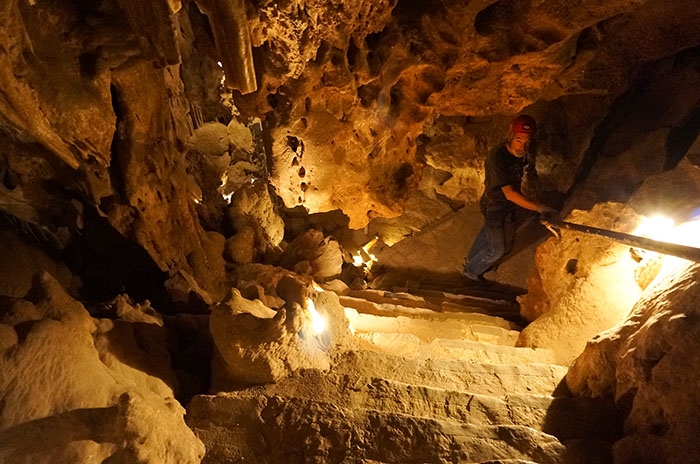
Between 1934 and 1937, two different CCC corps built the first roads, picnic areas, and buildings in Colossal Cave Mountain Park. The cave received stairs, paths, handrails, ladders, and a lighting system, as well. Frank Schmidt was hired by the State of Arizona as a director and held this job until 1956. I wonder long he got to live in the cave?
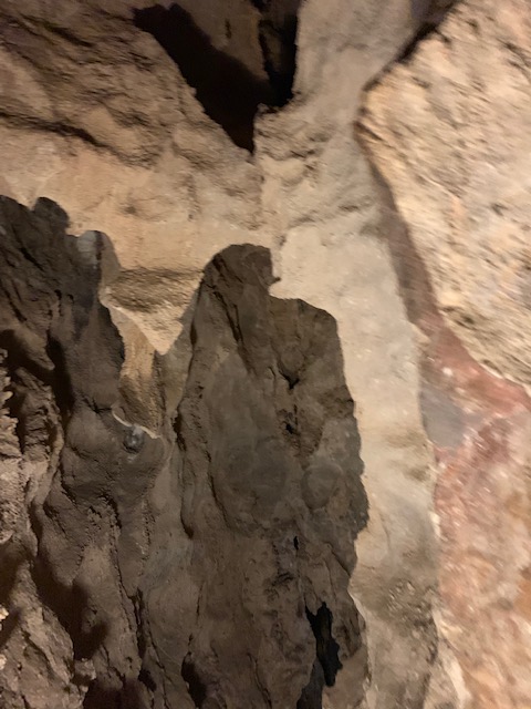


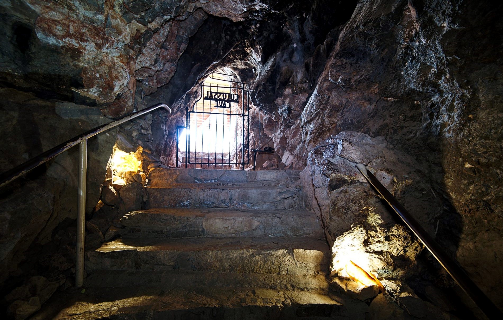
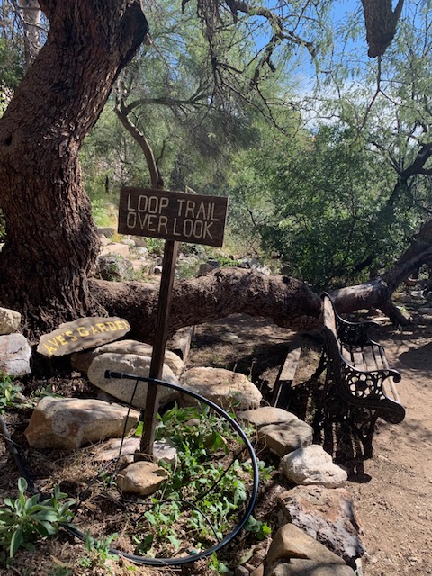
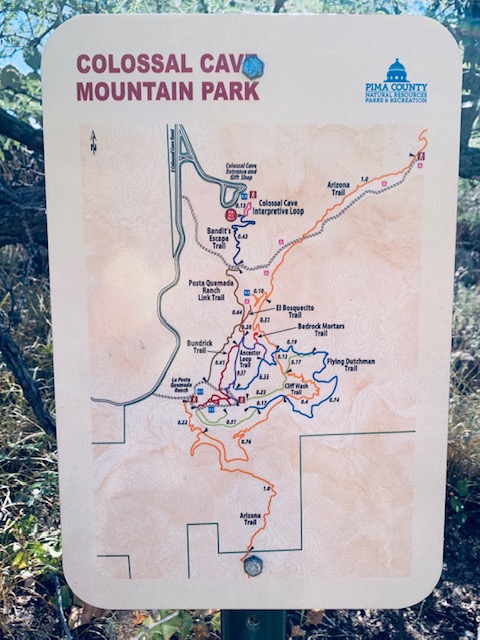
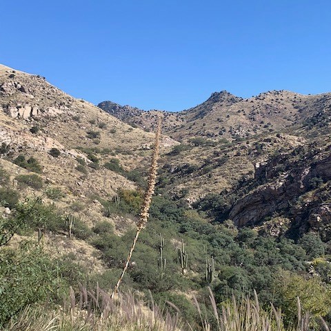
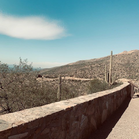
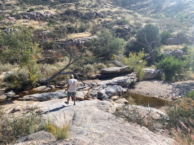
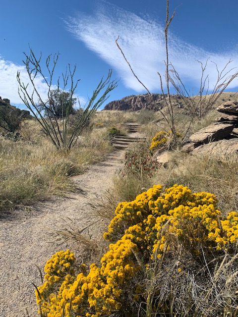
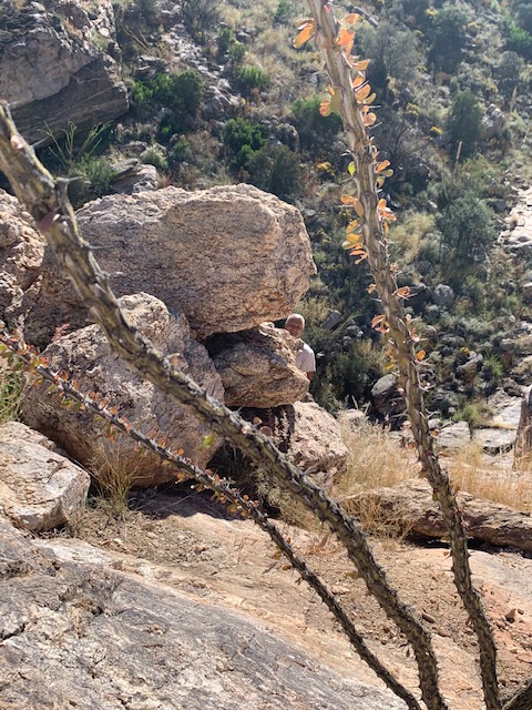
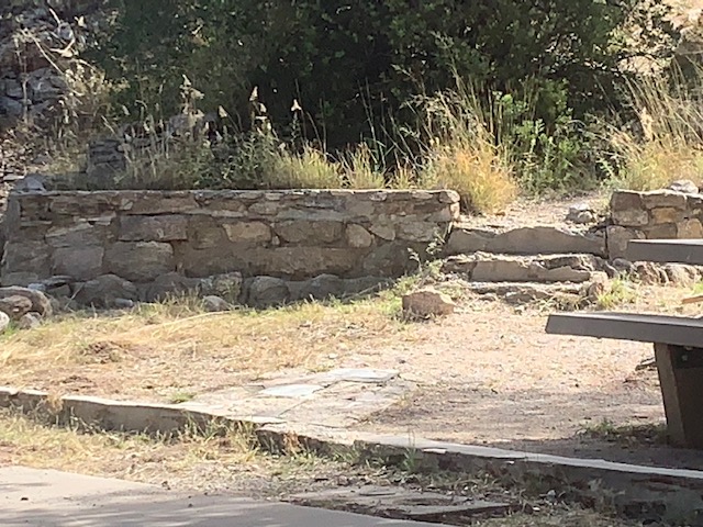
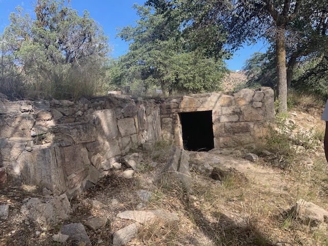
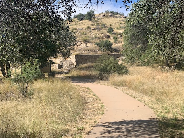
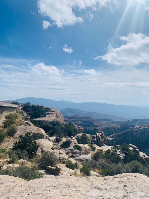
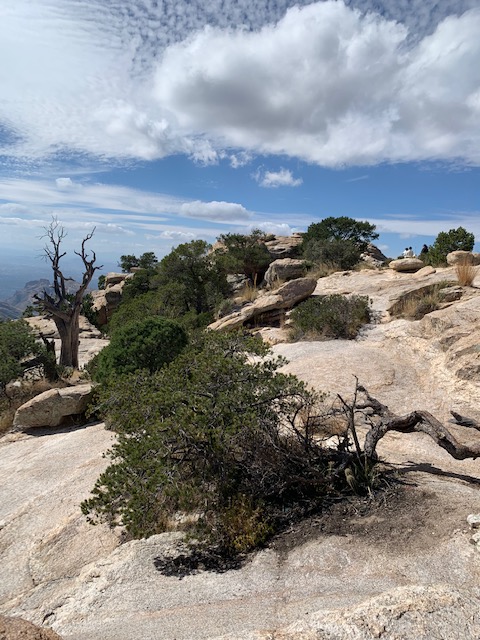
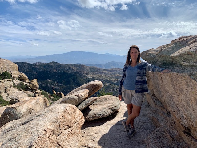
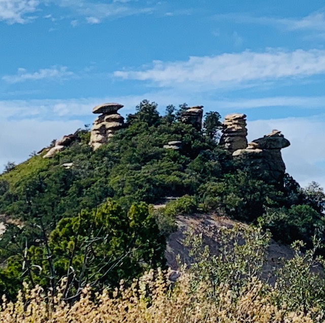
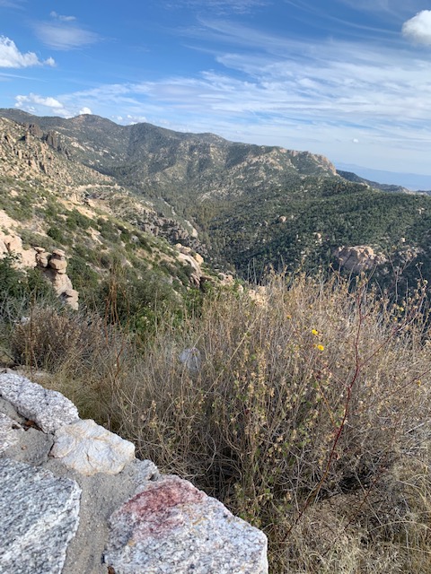
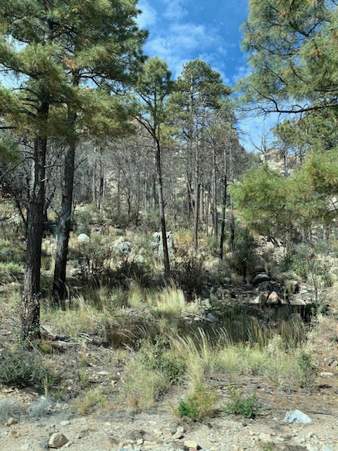
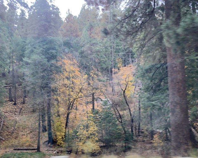
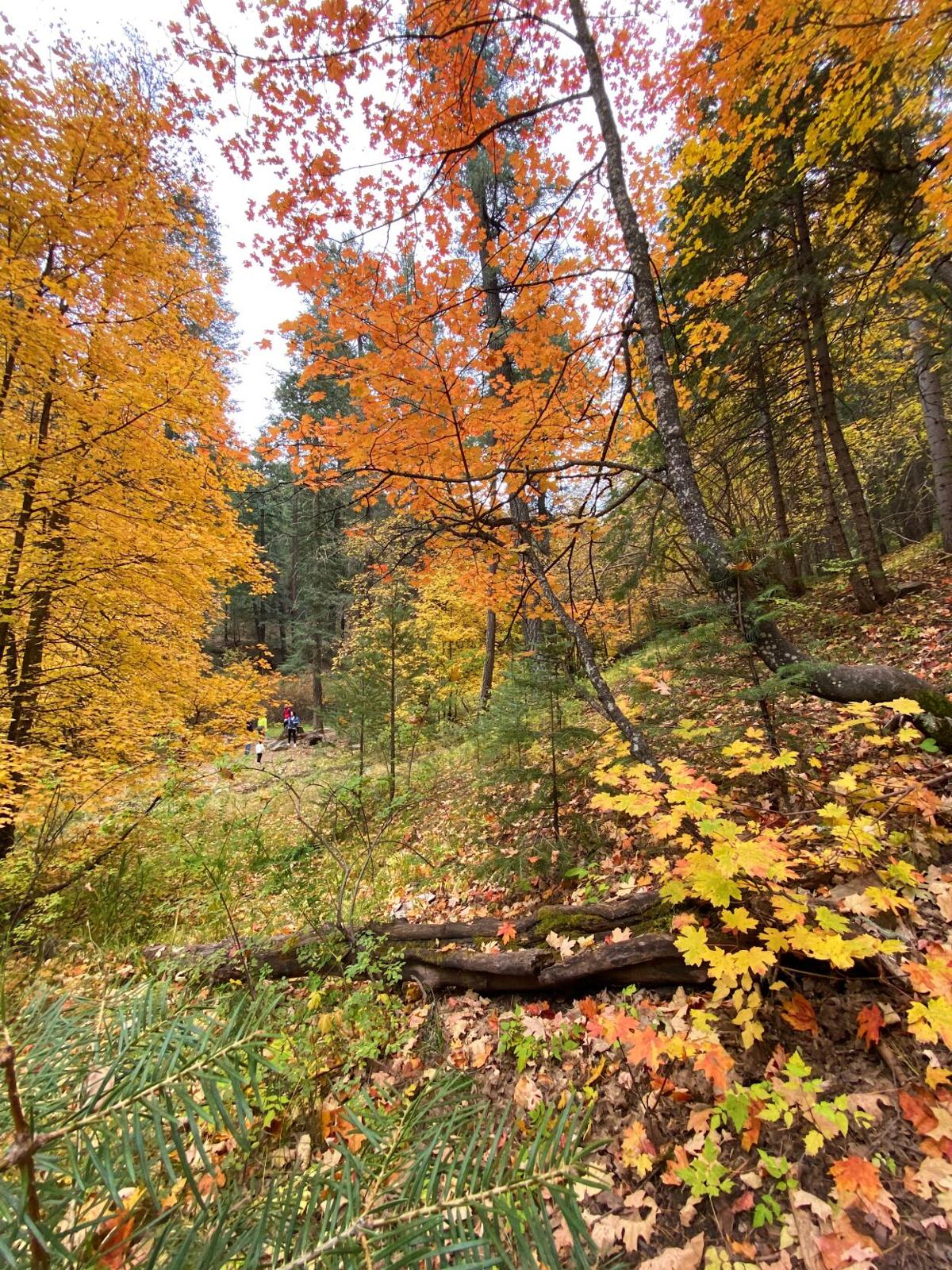
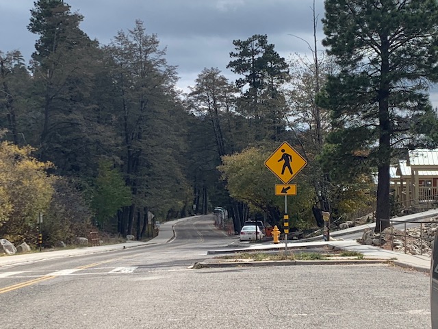
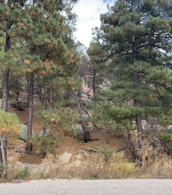
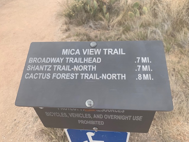
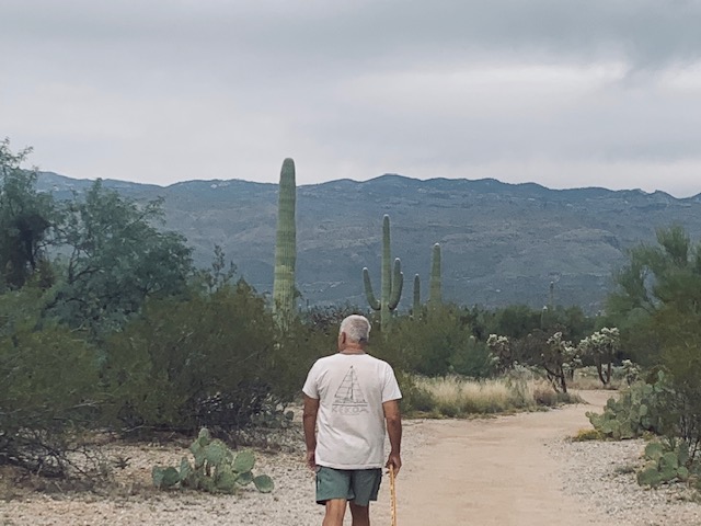
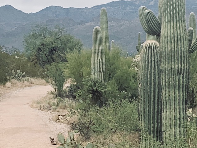
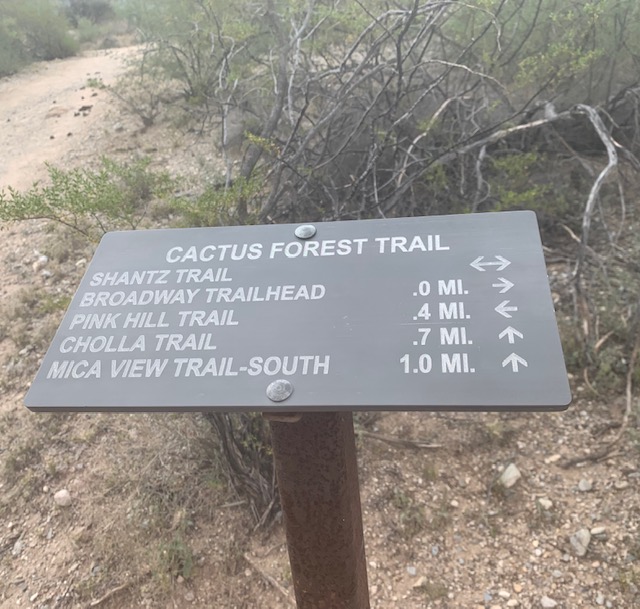
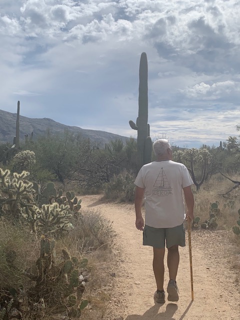
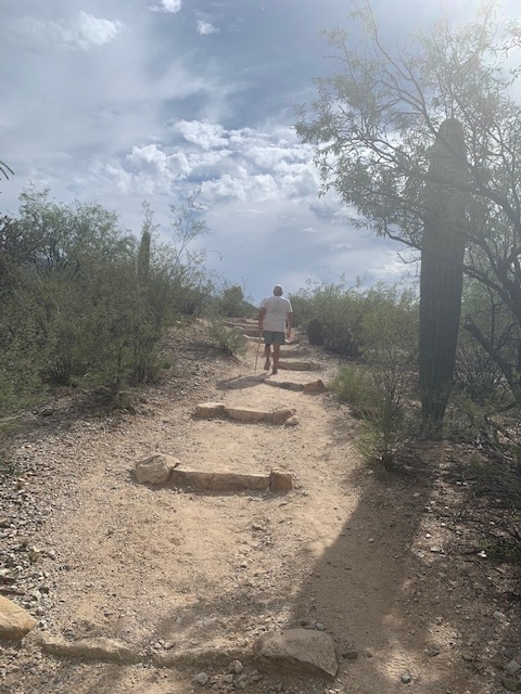
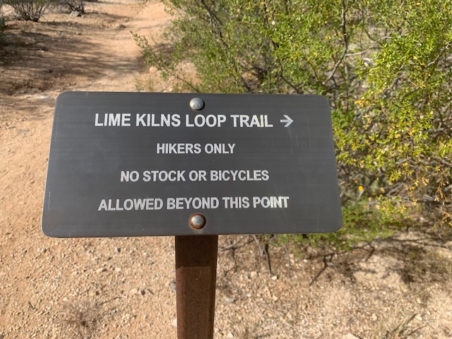
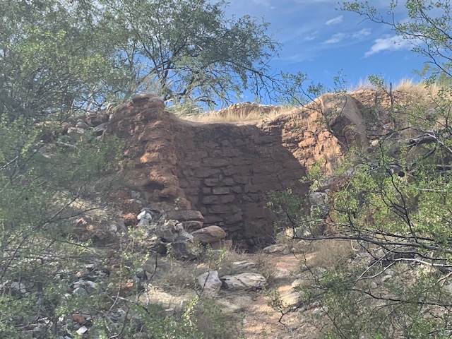
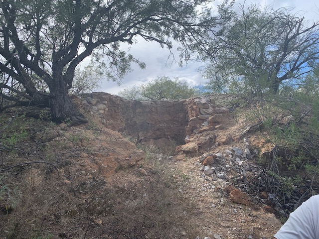
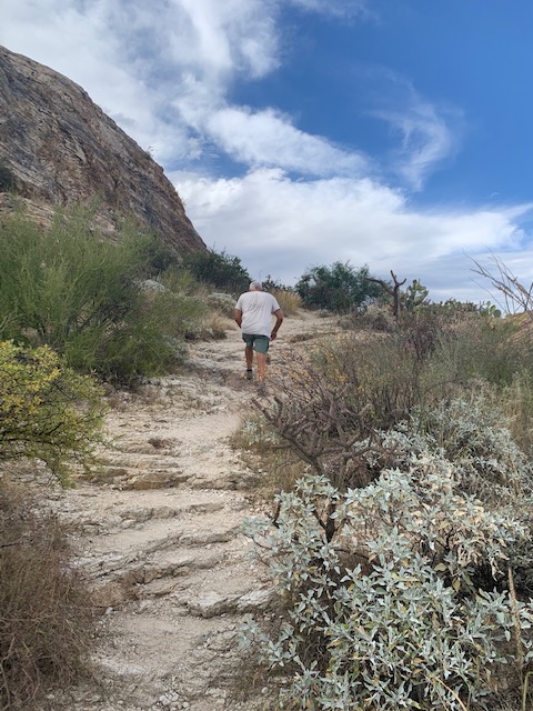
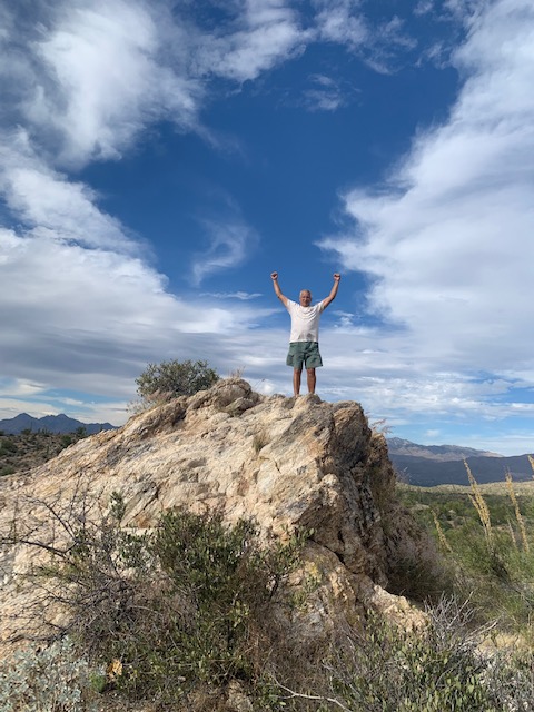
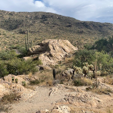
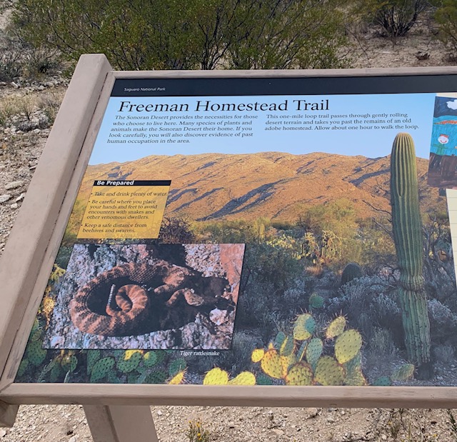
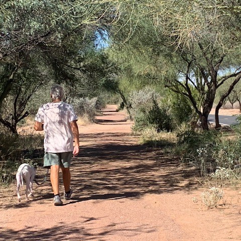
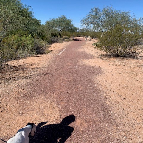
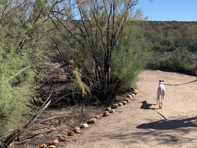
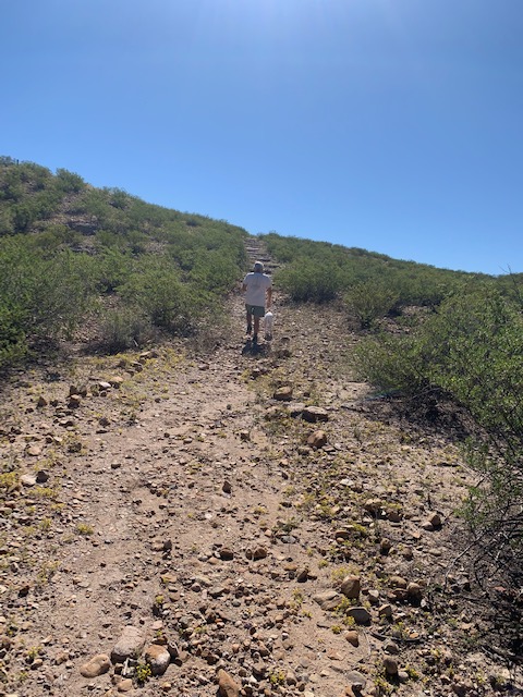
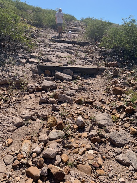
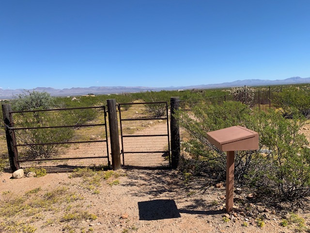
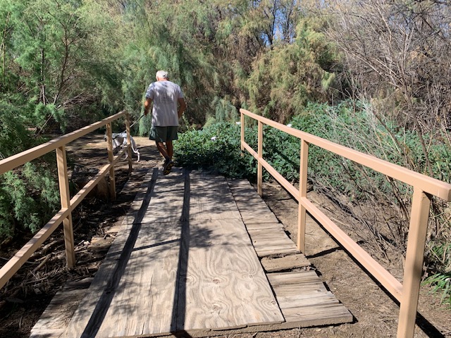
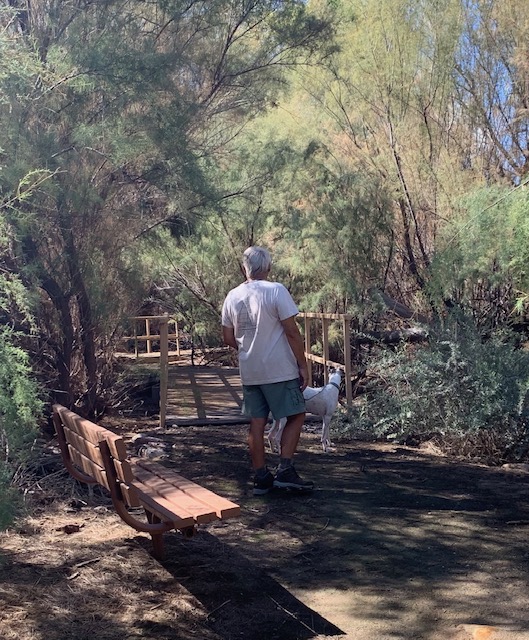
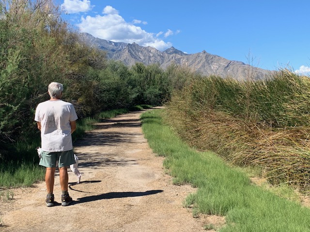
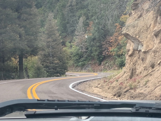
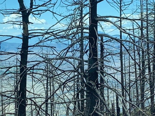
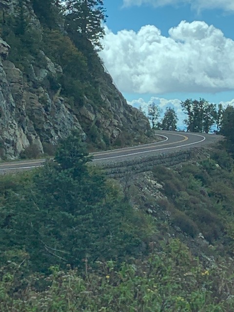
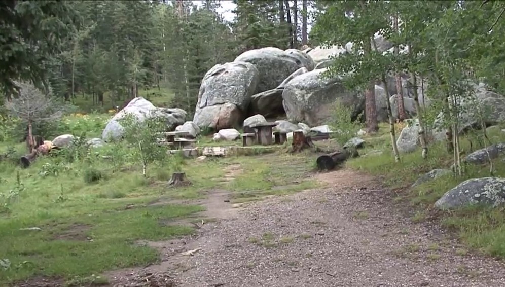
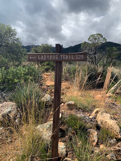
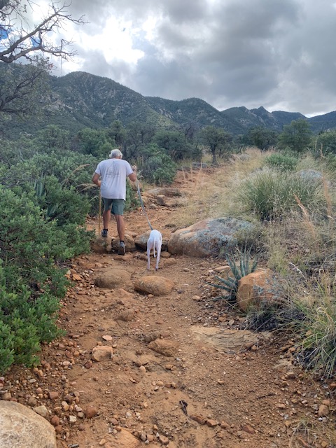
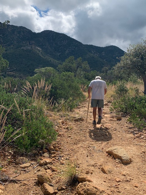
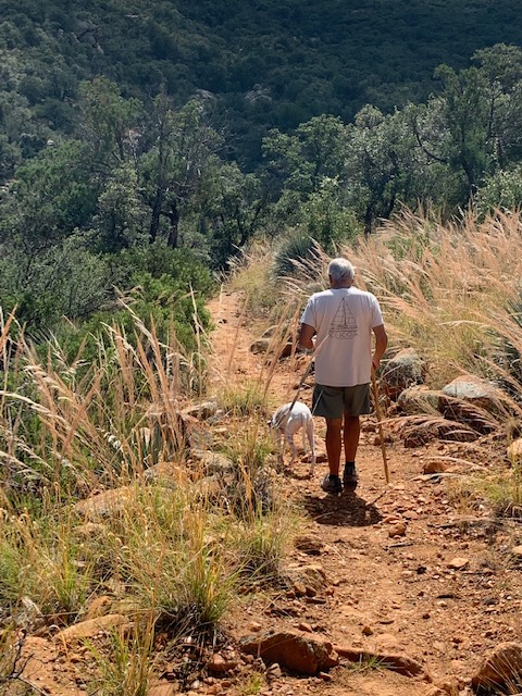
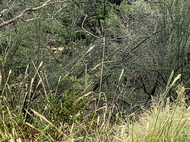
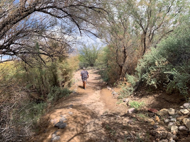
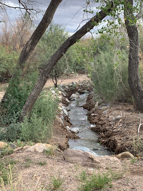
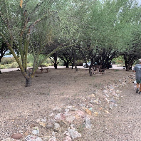
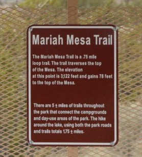
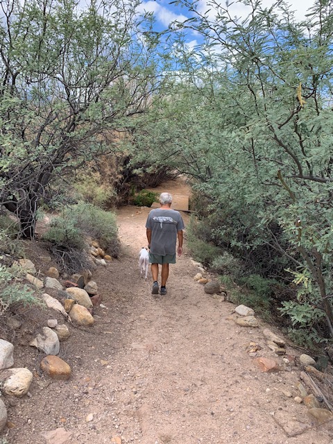
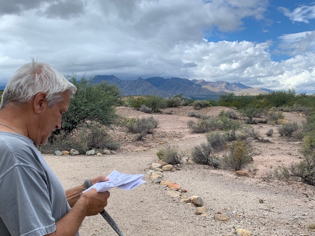
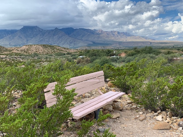
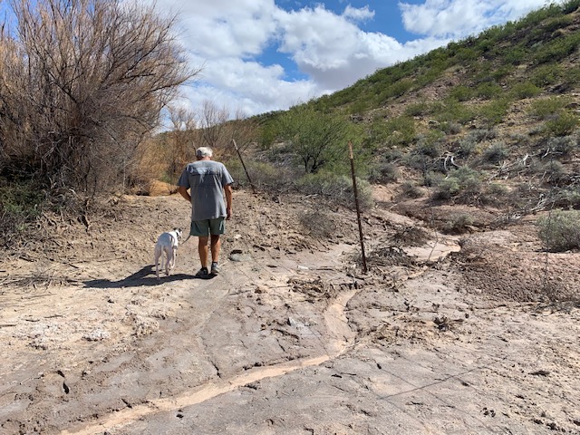
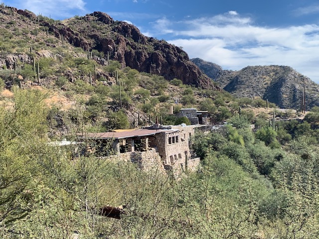
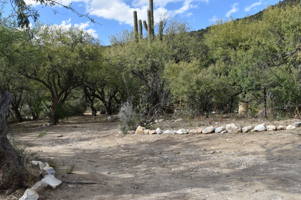
Trail around the cave we took.
” It doesn’t matter if a cave has been in darkness for 10,000 years or half an hour, once you light a match it is illuminated.”
Paramahansa Yogananda
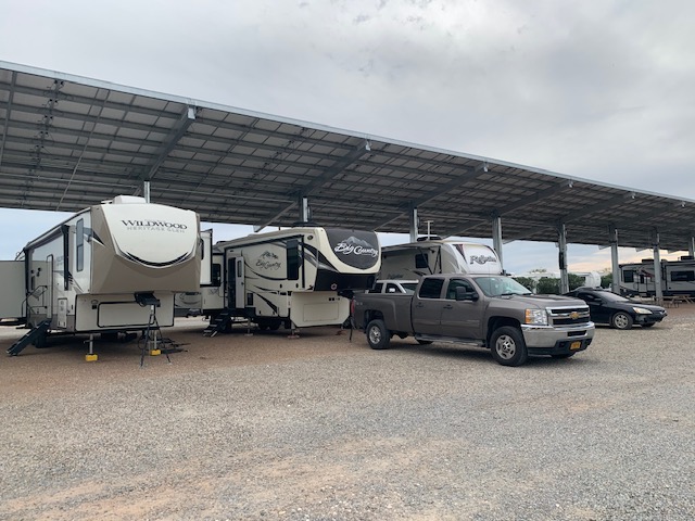
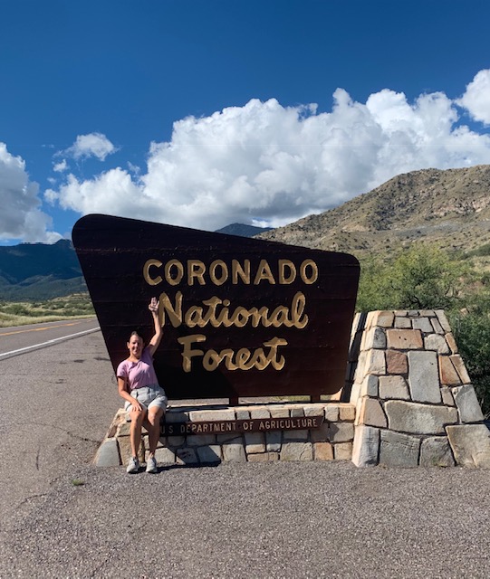
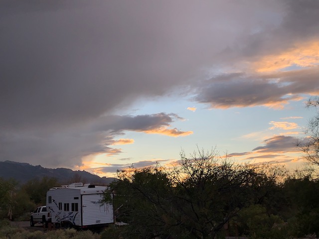
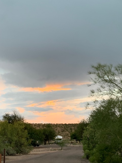
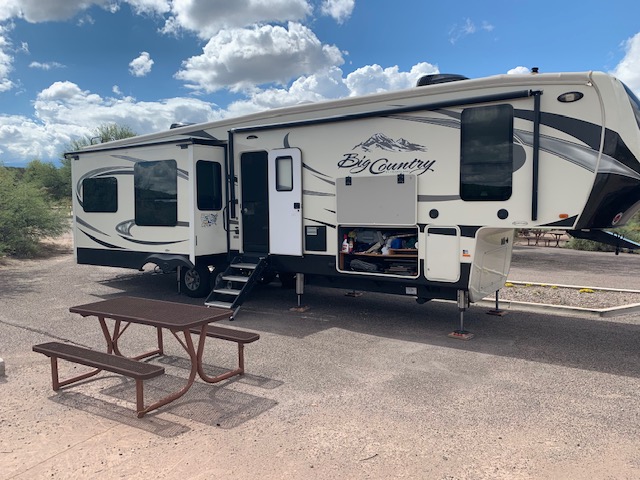
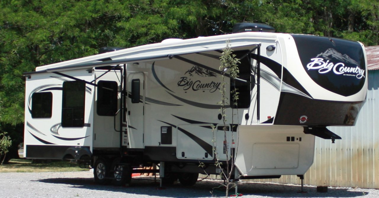
Cheers to our friends the McHenry’s as they are on the road again! Safe Travels.