Our Days in The Mountains

You’re off to Great Places! Today is your day! Your mountain is waiting, so…get on your way. – Dr. Seuss
great-smoky-np-patchIMG_4253

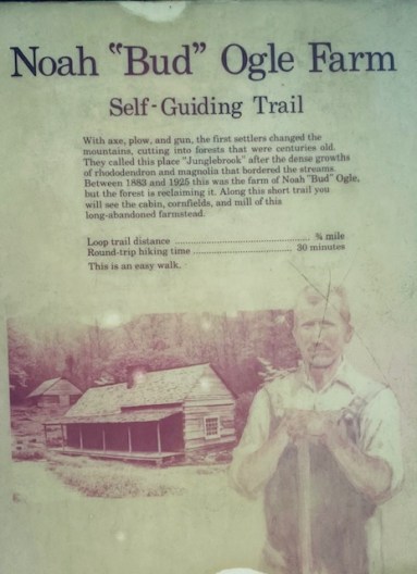
Today is Thursday the 14th and we’re on our way. Our 1st stop was at the “Bud Ogle Farm” located just outside of Gatlinburg.  When you start on the path it takes only a few minutes to get to the house.

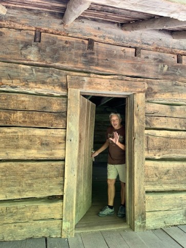
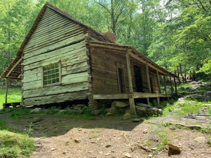
The log home was built by Noah “Bud” Ogle, a descendant of the original Ogle family that settled in White Oak Flats, now known as Gatlinburg. Arriving in the very early 1800s, the Ogle’s became the first homesteaders to settle in the White Oak Flats area. Born in 1863, Noah established this 400-acre farm in 1879, and began building the house in the early 1880s. Architecturally, the cabin is known as a “saddle-bag” house, which means it consists of two houses joined by a common chimney. According to the National Register of Historic Places nomination form, this is one of the rarer floor plans used in the Smokies.
IMG_4257


IMG_4255

Noah,  his wife and their eight children lived in the house.

IMG_4357

Smile for the camera 🙂

Just past the cabin the trail goes over two small brooks, and then passes through the former pastures and corn fields that were once maintained by the Ogle family.  And l always have to remind myself that there were hardly any trees on his property


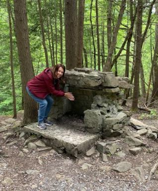
This is the Ogle “tub” mill, which was used to grind corn into meal for the family and other settlers in the area. Built around 1885, the mill was powered by water from LeConte Creek, which was fed by an 80-foot log flume. This system which was used to generate power for the mill was fairly typical for homesteaders in the Southern Appalachians at that time.


After that comes the barn, which was known as a “drove-through” barn because you could drive or park your wagons in the covered middle section of the barn. The barn includes four log pens that were used for livestock, such as dairy cows and draft animals. Chickens and pigs were also raised on this farm.

The Ogle Family did everything. They raised the plants and animals they ate.  They grew fruit trees and had pens with hogs in them.  The thing that they really liked was the Chestnut trees cause everyone loved the nuts and even traded them for shoes and such. They didn’t have any need for an a thermometer they just looked at rhododendron leaves.  As the temperature drops to freezing the leaves begin to darken in color and droop.  Around 20 degrees they start to curl, and by 0 degrees they are rolled up tight and turn black.

.IMG_4258
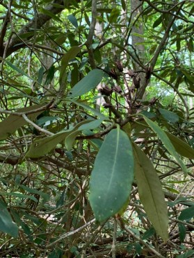
The weather was perfect when we were there as you can tell by the leaves! They don’t lie.

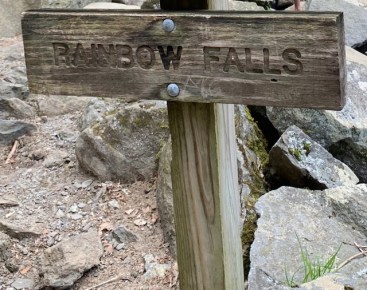
Because Wednesday we walked a little over 5 miles we thought we would take it easy. So we did the Ogle Farm Trail and then we were going to just drive around the outer loop and stop at look out points. But due to the virus, that part of the park wasn’t open yet.   So we took The Rainbow Falls Trail.

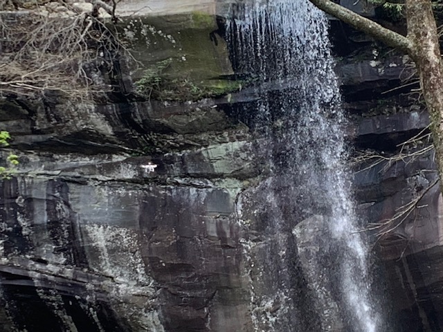
RAIN

The Rainbow Falls Trail is about 6 miles roundtrip and is considered moderate in difficulty. However due to the length, elevation gain, and rocky terrain in sections of the trail, some visitors may rate the hike as difficult. It takes about 3-5 hours to hike to the waterfall and back.  

We didn’t realize the difficulty at the time and even thought maybe it was 3 miles roundtrip.  And we weren’t wearing proper shoes and didn’t have any water with us.  But being both stubborn and not to smart we continued ……


We asked people coming down how far it was and they would say oh about 30-40 minutes when we thought we were almost there.  But we continued on.

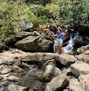
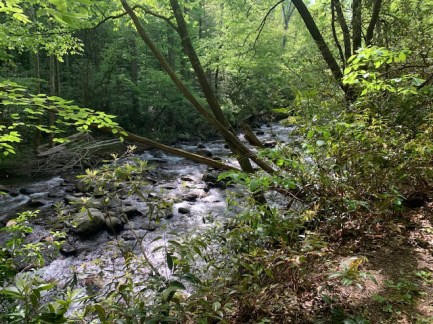
Some smaller Falls we passed on the way up.

IMG_4291

I think from this point someone told us it was about 15 minutes! yepeee!!
IMG_4301

IMG_4292

IMG_4297


IMG_4297


IMG_4298

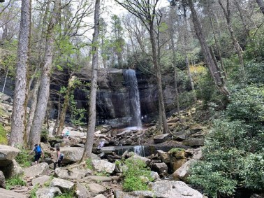
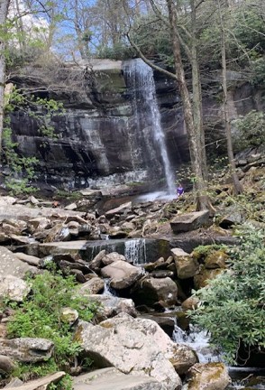
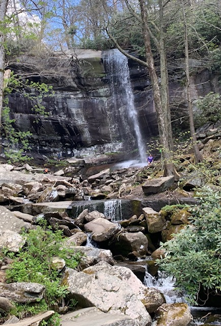
We made it! And we were so glad we did!
 

IMG_4302

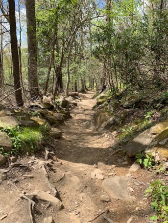
Taking the trail back we were excited when the trees were on ground level like us.


We finished the trail, I am proud of both of us!   Different parts of our bodies were sore, and some different parts hurt the next day. We hiked about 7.5 miles which isn’t a lot, but when half of it is up hill it gets harder when you get older like us, but it was worth the trip!

When everything feels like an uphill struggle, Just think of the view from the top.” – Anonymous Hiker
HOE


It’s Friday Morning in The Great Smoky Mountains!

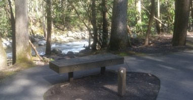
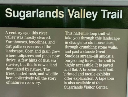
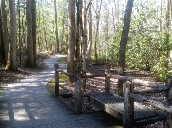
Dave picked an easy trail for us today, nothing to strenuous.                                                “The Sugarlands Valley Nature Trail is definitely not a full-bore, knee-busting outdoor challenge. It is flat, paved and about a half-mile long. It is designed to be all access – the only trail in the Great Smoky Mountains National Park to be so designated.”
ss


2222


IMG_4306

1111b

IMG_4308


The last trail we took was a Quiet Walkway trail
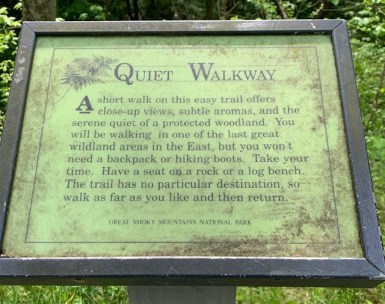
IMG_4313

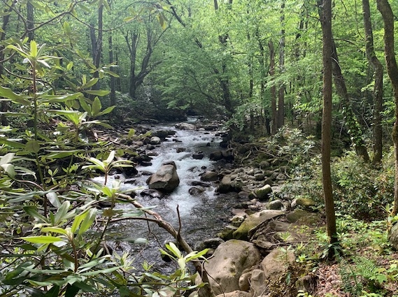
The Trail went through a section of the Sugar Branch Trail
IMG_4316

IMG_4317

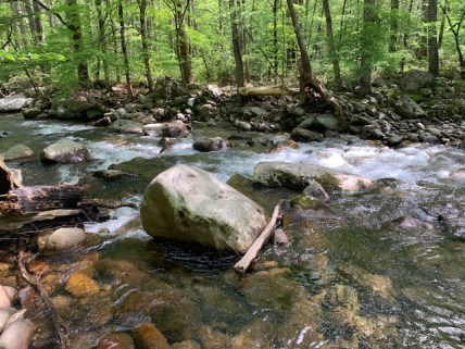
Dave is thinking….I know she is taking another picture of my behind, She seems to do that a lot!
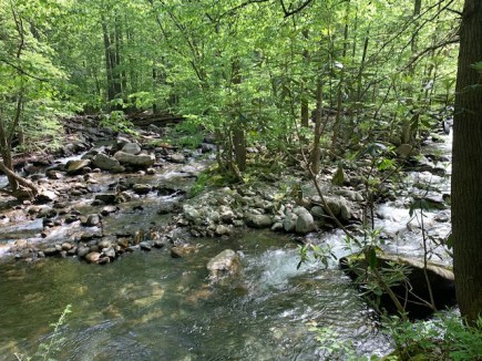


FALLS

FALLS 2

sign

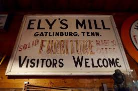
The Mill was built by Andrew Jefferson Ely in 1925. Ely’s Mill is one of the few remaining pieces of “Old Gatlinburg”. Privately owned, it is still run by the original family who live on site. They are in the works of getting the mill up and running again. At the time he hired craftsman to build the mill and a showroom to sell their wares. It had everything you can think of from furniture to weaving. The water wheel powered the machinery for the furniture shop. As the place grew more buildings were added, a blacksmith shop and they even had a bee keeper. In 1940 Ely’s Mill had grown to almost 20 buildings. Now the mill features local crafts, antiques, and honey, as well as two over-night rental cabins and weddings tale place here too.  A neat place tucked inside The Smokys.
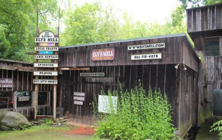
ELLY


IMG_4320

IMG_4321

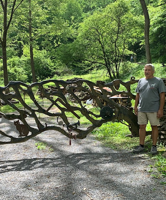
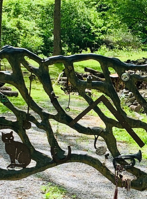
I just love this fence. I think I’ll take a few of my belongings and stick it on a fence too!
 

Ely_s_Mill_Antiques___CraftsX

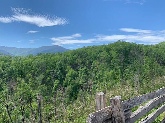
Our last stop and one of the Best Stops, a look out view of The Smokys.

IMG_4367

IMG_4327

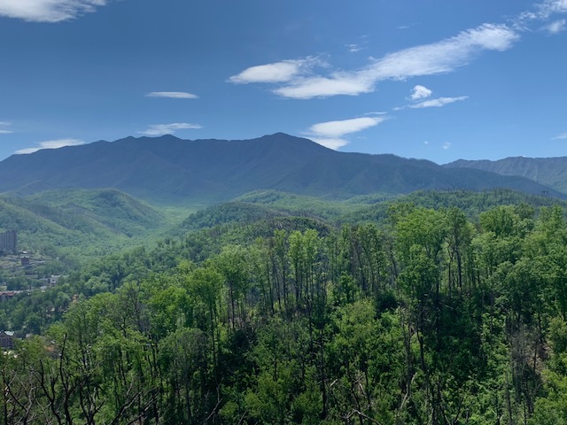
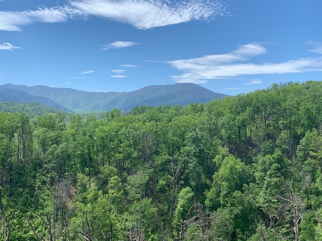
We were lucky, we had an amazing view.  Some people were saying it was because of covid-19, the park wasn’t open and so there was no pollution.  It just opened up the weekend before we got there.
IMG_4325

IMG_4326

To move, to breathe, to fly, to float, to roam the roads of lands remote, to travel is to live. – Hans Christian Andersen
SMOKY

Wednesday at the Smoky’s

IMG_1746


First Trail we took was the :

1477 sign

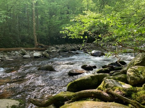
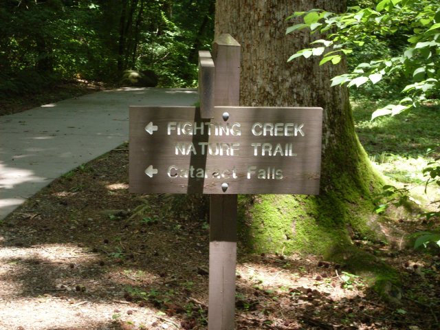
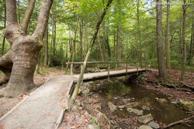
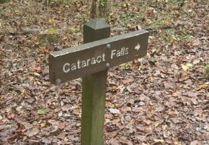
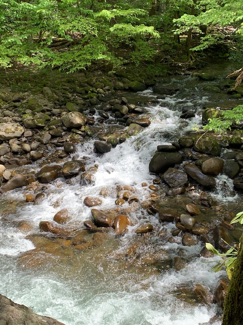
The Fighting Creek Nature Trail is a trail that’s about 2.5 miles long that begins near the Sugarlands Visitor Center, and then from there you can venture off a number of trails like we did taking the Cataract Falls Trail. For much of the trail we followed The Fighting Creek, which was named that supposedly due to an concerning argument among mountain residents over where a schoolhouse should be situated.
IMG_4205


macs

Site of Noah McCarter’s former cabin.

1223

Further down , the John Ownby Cabin that was restored by the National Park Service, his house dates to about 1860.  When you look inside and see the craftmanship and marvel at how humbly they lived late in the 19th and 20th centuries, long before Great Smoky Mountains National Park existed.

I always have to remind myself when I see old settlements like this, especially where there was farming, when they were operational there wasn’t any trees like there is now.

20151024-142746-largejpg


fall 1

IMG_4241

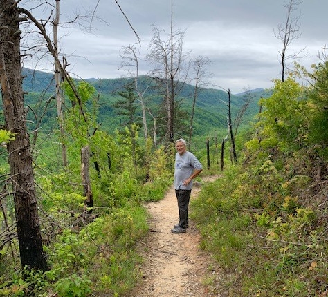
We followed the trail and came to a great section to view The Great Smoky Mountains

IMG_4227

Great Trails, Glad we took them!


4240

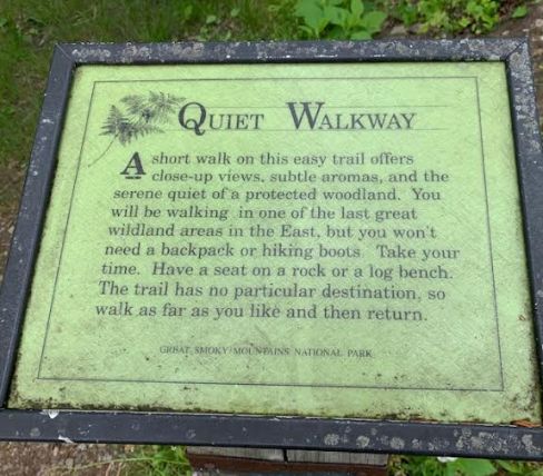
Our next stop was a “Quiet Walkway” there are a few of these in the park. The name of this trail is Big White Oak Quiet Walkway.

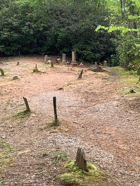
It’s a not a long trail but at the top we were very surprised to find a cemetery! Especially in such an out of the way place. Obviously once upon a time there was an old community that had it’s own cemetery.

IMG_4243

4246

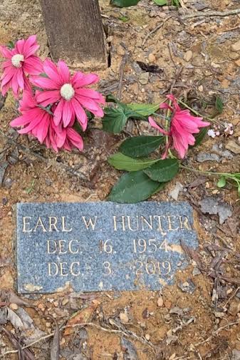
It’s been there for a very long time.  But we noticed that flowers were placed around and the grave marker above says he died in 2019.   We found out that the park calls it the Fighting Creek Cemetery, other sites claim it’s the William Stinnett Cemetery.


I really enjoyed being in the Smoky Mountains being away from the crowds and the tourist attractions, it was how I remembered it being years back being both serene and magnetic.

1

IMG_4238

“Land of the Blue Smoke”


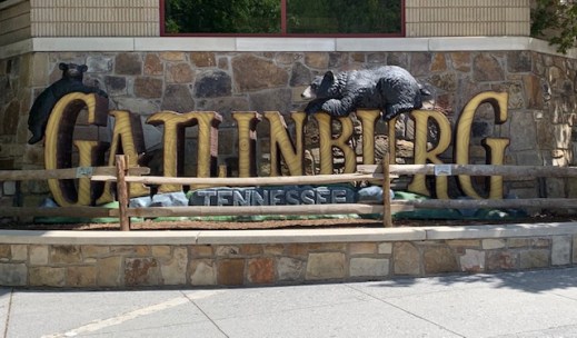
Today we ventured out and went to Pigeon Forge and Gatlinburg. It has changed since we were here last.

ga

We walked “The Great Smokey Mountains Gatlinburg trail” today, which was picturesque to say the least and continued to walk thru Gatlinburg.


IMG_4171

IMG_4178

4179

IMG_4182

IMG_4181

When we were here years back things like: The Ripley’s group of attractions which includes Ripley’s Aquarium of the Smokies, which has exhibits all over the place, covering things like the Titanic, pirates, and the planet Mars, Ripley’s Haunted Adventure, Odditorium, Mirror Maze, 5D Moving Theater, Guinness World Records, Old MacDonald’s Farm Mini Golf, and Davy Crockett Mini Golf, etc. weren’t here.   We walked around town not a lot of people so we could keep our social distance.


Forest sure got around didn’t he!

IMG_4196


IMG_4192

IMG_4194


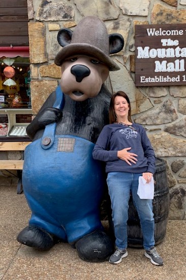
Now I know why they are saying this about Gatlinburg “Bordering Great Smoky Mountains National Park, Gatlinburg is an important tourist destination in Tennessee, with many man-made attractions.” I did enjoy my day in Gatlinburg was just surprised at all the new additions, I left Ripley’s out of my pics.  Times they are a changing. Tomorrow we will be going further into the Smokey’s.

SEVIERVILLE TENESSEE

WHERE???. Sevierville Tn, is in the eastern portion of Tn, close to the entrance to Smokey’s National Park. You pass through here, Pigeon Forge and Gatlinburg to get to the park entrance. These are very small cities and very commercialized, Dollywood is here too.

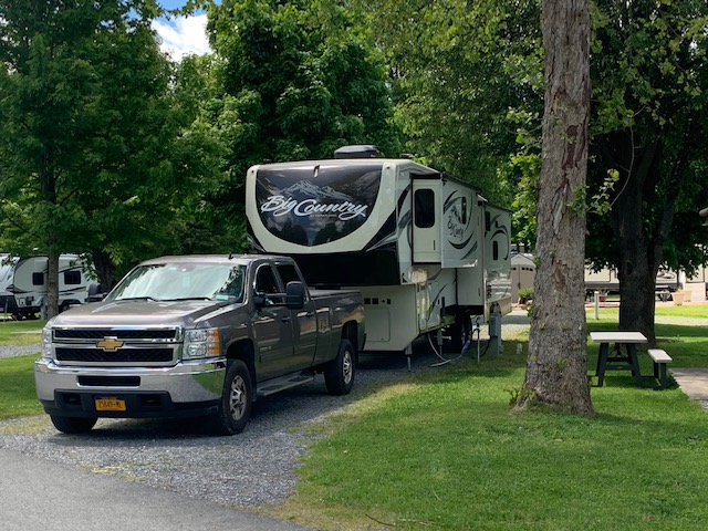
We drove 137 miles Monday to get here, (traffic on the interstate was very busy)and are staying at the River Plantation Rv resort, here in Sevierville till Saturday. We have a nice pull thru and the park seems very nice. The Little Pigeon River runs around the edge of the park. The river flooded six weeks ago and the spot we are in now had over a foot of water in it. You would never know it now.

Smokey Mountain National Park, is why we are here. Thank fully the park roads and most trails opened up last week end( visitor centers and all that still closed) so we will be going there the next several days, to hike and drive in the park. Below are pics of our spot here.

IMG_1993

IMG_1995

IMG_1994

Little Pigeon river

IMG_1997

Out our window of what was under water six weeks ago.

Our days at Georgia/Tennesse

When we arrived here we didn’t realize that we were on the border of a time zone change. Dave was in Central time and I was in Eastern time that’s what our phones we’re telling us, it was confusing.  If I lived here, I wouldn’t know if I was coming or going, sometimes I feel like that anyway. We decided to follow Eastern time because that’s what we’re used to.

clocks

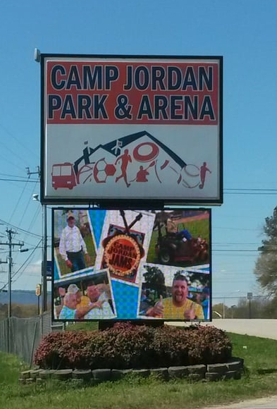
It has been nice and also odd being in Rossville GA & Chattanooga Tennessee mainly because we weren’t originally supposed to be here. Like everyone else things had to change. I am glad Dave found The Holiday RV Park mostly because it has been warm here and back in NY, they have had snow not unusual for this time of year plus, it’s been a nice place to stay. One of the things we do daily is go to Camp Jordan Arena & Sports Complex. Outside the huge arena is soccer fields, baseball diamonds, amphitheater, a 2 acre pond for fishing, is a 19 hole disc-golf course, nature trails and the walking track. The huge arena, soccer fields, etc. haven’t been open due to the virus, but fortunately the walking track/path is, so we have definitely been using it.

sign park & arenaarena


IMG_4066

IMG_4077

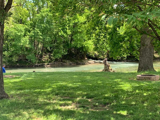
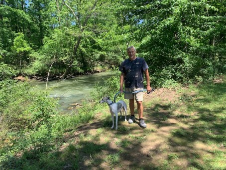
We walked the nature trails and the paved walk.  The paved walk is 2 miles around.  Some days we only did the round once other days it was more rounds.  We saw the same ducks everyday, we named them Curly, Larry, Moe and Felix?  the weather was great and we got our exercise!

A walk in the park is a pleasure to do, When a visit to one is long overdue, To take the dogs too, is really great ,For the exercise is just first rate.

The peacefulness can be very strange, For quietness is such a change, From all the traffic rushing by, The decibels get really high.

We have to live with constant noise, That often takes away the joys and contentment, that a walk can give us. We’ve got to count is as a real plus. There’s a lake where fishing is a must.

At the end of the lake, the ducks you’ll meet, And geese and swans, with their webbed feet, All gather hoping to be fed, With slivers of cake and slices of bread.

There are soccer courts and baseball diamonds too, You can do most anything you want to do, For children, roundabouts and swings, Seesaws, slides, gosh, there’s lots of things.

The flowers are a joy to view, The colours bright with the morning dew, Red, yellow, purple, pink and peach, Lifting their heads the sun to reach. A walk in the park takes away the strain, Of working, which we have to go back to again, But as long as we take just a little time out To relax, that to me is what life’s all about.  

Ernestine Northover

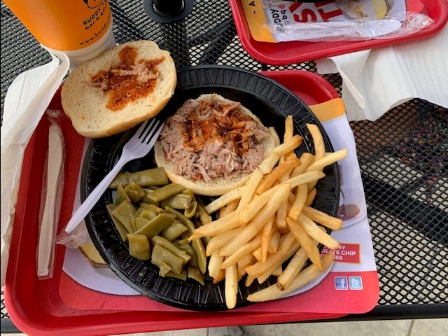
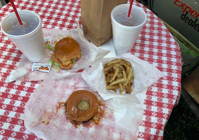
We went to a BBQ place called Buddy’s for takeout

IMG_4068

IMG_4067

It was good, but not as good as our friend Abe’s way down yonder in The Miss!

                                                                0  o  0  o  0  o  0  o  0  o   0 o  0


Dave & I were in this area about 14 years ago with some friends and got to see Look Out Mountain, Ruby Falls, The battlefields and Memphis were we saw the King.  Good thing because this time around they were closed.

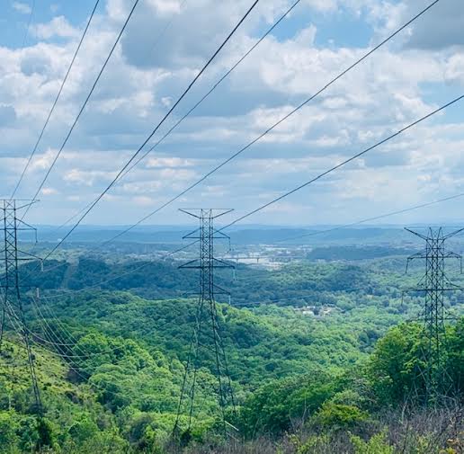
We went to Racoon Mountain Raccoon Mountain which is made up of several trails that circle the TVA Raccoon Mountain pumped storage facility system.  We heard it was open but it was also closed.  It was a nice ride up to the facility and we stopped a few times up the mountain.

4116

IMG_4108

IMG_4102

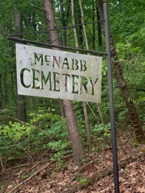
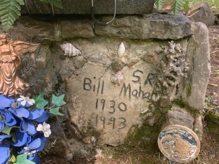
Stopped at this cemetery tucked way on the side of the mountain.  It has definitely been here awhile.

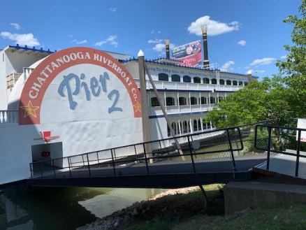
I was pleasantly surprised when we visited Chattanooga.  We parked and then spent the day walking along the art district and the many path ways they have along they way.

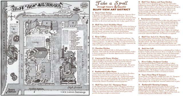
Located in a historic neighborhood in Chattanooga, TN, Bluff View Art District has visual, horticultural and culinary arts. Situated downtown, Bluff View Art District has restaurants, cafes, patios and paths all on different levels that view the Tennessee River. The switch back trail from the river up to the Hunter Museum has several sculptures that are unique and fun to see along the way. This is Chattanooga’s first art district which stretches over 1.5 city blocks, set high atop stone cliffs that plunge into the river below. From this bluff front location, you will see views of the Tennessee River, downtown Chattanooga, and the Walnut Street Bridge.

Here are some sights and sounds along the way ……

IMG_4165


We had takeout at Rembrandt’s Bluff View Bakery.  They had an open area in the back so we ate it there.  I had a piece of chocolate cheese cake and Dave had a glazed cinnamon bun.  They were both really good!


IMG_4130

Then we walked thru the sculpture garden to the river walk and over the bridge

WalkingTourForWebsitev2

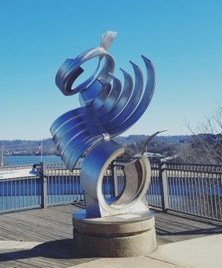
Some of the sculptures I really liked, others I couldn’t tell what they were trying to show, say or whatever.

This one I think should be called “Bad Hair Day”

CCCC

    1. Savoy is a variety of the common cabbage, having curled leaves,  So I guess you could say their dancing for cabbage?  Must be hungry.


Batter Up, Definitely one of my favorites !

circles

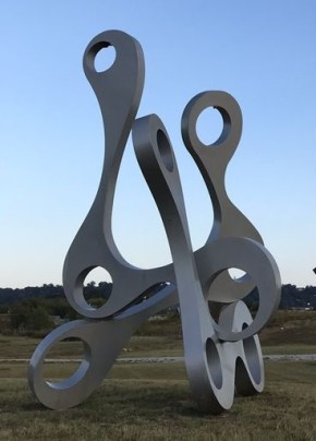
The “Doohicky –  Whagamacallit”  Looks neat whatever they are

CAPS

My Favorite it’s called “Free Money”  They look so cute!


Built in 1890, the 2,376 feet  Walnut Street Bridge was the first to connect Chattanooga, Tennessee’s downtown with North Chattanooga. “The bridge was apparently the first non-military highway bridge across the Tennessee River.” The “county bridge”, as the Walnut Street Bridge was once known, connected the predominantly white city on the south side of the Tennessee River with the large black work force on the north side (“North Shore”) in Hill City, a town that was occupied by Chattanooga in 1912.

The bridge was closed to motor vehicles and sat in disuse and disrepair for nearly a decade. Repairs and structural modifications have been made to turn the bridge into what it is now a pedestrian walkway. The Walnut Street Bridge was added to the National Register of Historic Places on February 23, 1990. The 2,376 foot (720 m) pedestrian bridge sits near the heart of a massive and recently completed urban renewal project.

We had a great day in Chattanooga, which Dave tells me the word Chattanooga is from a Indian word meaning  “rock rising to a point.”


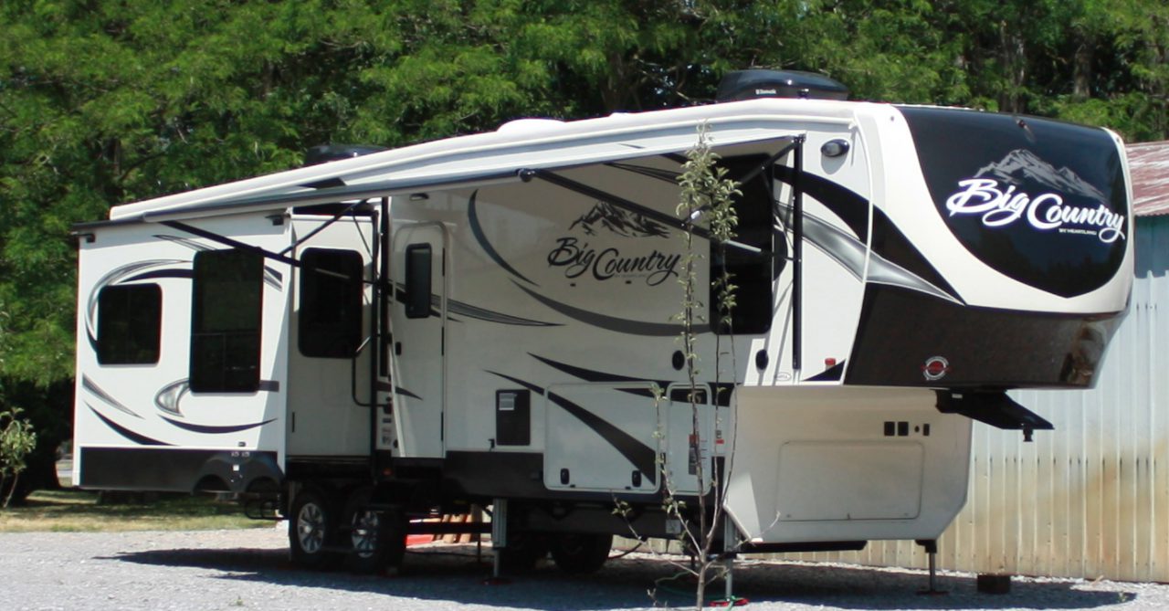
A fifth wheel we saw at the campground.  Dave could have built  this when he had all his tools, nuts, bolts and marbles. 

IMG_4064


BATTLE OF CHICKAMAUGA AND CHATTANOOGA

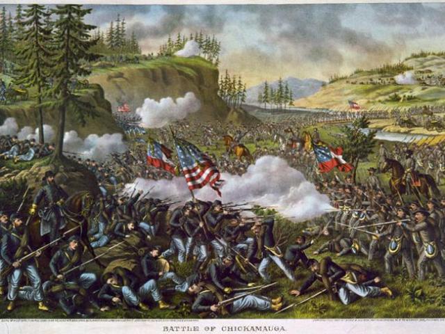
In late summer of 1863, the union army moved on the City of Chattanooga, from the north. They wanted to capture it for it’s rail line and the Tennessee river, to supply there army. As the union army started to surround the city, the confederates, retreated to the south, across the Tennessee river and into Georgia a few miles. There they set up strong defensive lines. The union in the mean time also bolstered it’s supply of men and arms. In early September 1863, the union army pushed across the Tennessee river, into Georgia. What the union did not know was that during the last few weeks, reinforcements were being brought in. Now each army had about 60,000 men each. On September 19 and 20 of 1863 the armies met at a little meandering creek, known as the Chickamauga, and Indian word, meaning “river of death”. For two days they went at each other back and forth, slugging it out. After two days of fighting the union for some reason decided to retreat back to Chattanooga. The Confederates in hot pursuit. The union crossed the Tennessee river, north back into Chattanooga, and confederates set up defensive positions on the south side near Lookout mountain. The battle was over, most say it was a draw, but the union did fall back.

battleofchicamaugapainting_001

After the battle of Chickamauga, the union was resupplied and fresh troops brought in. The confederates had to do with what they had, and bolstered up there lines hoping to put a siege on Chattanooga. After two months passed, the union was ready to attack, which they did on November 23, 1863. This became known as the battle of Chattanooga, or “Battle above the clouds”

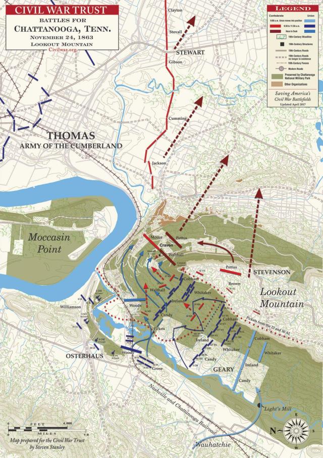
The union attached right at the center of lookout mountain, which was defended by  Confederate artillery, but it was not very effective because of the terrain. In the photo and map below the union attached from right to left along the slopes of lookout mountain, then gained the high ground, placed cannon on top, and swept the confederates off the ridges into the low country ,where the union army was waiting and pushed ahead. This put the confederates in a head long retreat. The confederates retreated past the Chickamauga creek and kept going, falling back over the next few weeks into the deep south. The union did not follow.


14978416_BG1

Chattanooga-LookoutMountain-November24,1863

Chattanooga_Lookout

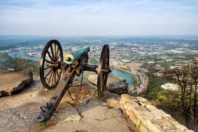
Cannon on Lookout mountain, overlooking Chattanooga

CHATTANOOGA CHOO CHOO

We have now, been here a week in Chattanooga Tn. . Our plans were to leave here Monday the 4th, but we have decided to stay another week and leave for the Smokies on the 11th of May. There are a couple of reasons for this, which I will explain below.

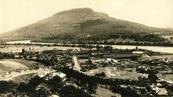
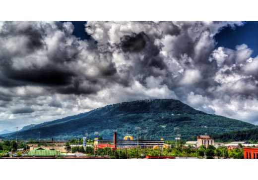
Chattanooga Tn, is right at the bottom of the state very near Georgia. It sits right along a bend in the Tennessee river. The native Americans were the first here and named it Chattanooga, meaning “rock rising to a point”, which refers to the view they had of what is now called lookout mountain. Views of Lookout mountain from Chattanooga are below. Being along the river Chattanooga grew a lot during the 1800’s. Industry came in the early 1900’s, which brought jobs and all that but also pollution. Not until the late 1990’s did the city have a sort of revitalization. Now it has many nice tourist spots and walkways around the river. Lookout mountain right on the other side of the river also has many tourists spots to visit.

270px-LookoutMountain_2020

LMA_9684ca01-a607-4cf9-abcf-4f7f9413dfff

View below is from a top of Lookout Mountain, looking down on Chattanooga

Chattanooga_Lookout


As I mentioned before, the park we are at is in Georgia, very close to Tennessee. Sometimes driving around this week, I had no idea what state we were in. So why are we staying longer, well, the weather for one will be nicer here than in the Smokies, and we have also found a few very nice places to walk everyday here. The most important reason though is that the Floodgates have kind of opened up. Georgia last week opened up almost everything that has been shut down. Tennessee this week is opening a lot of things that have been shut down. So, maybe if we have any luck, places like Ruby Falls, Incline railroad, Lookout mountain garden park, Lookout mountain point park, Chickamauga battlefield park, Dalton Tunnel hill and museums in Chattanooga will open up. Maybe we will see, but we decided to stay and find out. Otherwise we have been doing some thing here like hiking, walking and driving around Lookout mountain. We have even been to two different Bar B Q places. Plus I have now seen that the Waffle House near us is reopened, Ya Hooey.

Of course Chattanooga has civil war history which I will post on later this coming week.

Good by to The Miss

Staying in Miss was a bit diverse. Not only because of the virus but from being up yonder in New York, not from their neck of the woods, I felt a bit out of place like some of y’all thought “I was too big for my britches.” Being here we only saw one other license plate for NY and not many others from up yonder.  But on the other hand most of folks, especially the original Mississip’s made us feel “Happier than a tornado in a trailer park.” Should I be saying that?

Some  parting pictures of  Mississippi

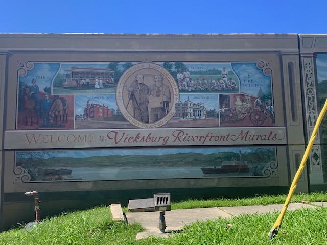
Vicksburg Riverfront Murals located on Levee Street along the flood wall. right down by the Mighty Mississippi River.

IMG_3994

3997


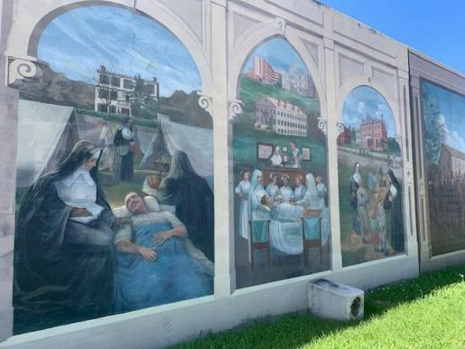
Robert Dafford’s 32 life-like pictorial murals depict periods of history in Vicksburg. Also featured is an abstract mural by Vicksburg artist Martha Ferris which was the first mural to be painted along the floodwall in 2001. The murals recognizes three vital pathways  showing  Vicksburg’s diversity: the river, the railroad, and the highway.

Here are a couple of my favorite

waterfront-mural-detail

Mural by Martha Ferris


4003

THE FAMOUS BEAR HUNT:
“The Teddy Bear is Born”

On November 12, 1902, the Washington Post reported that President Theodore Roosevelt was headed to  Mississippi for a 4-day bear hunt.    I just love how the artist painted their faces, they look so real.


4005

3998


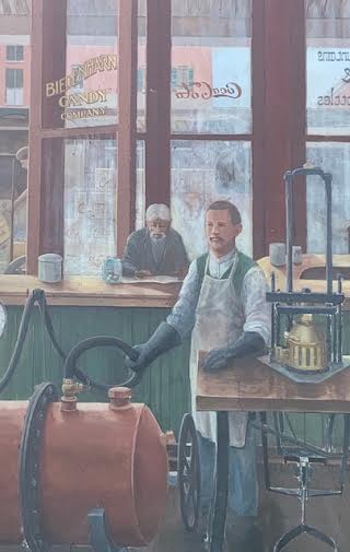
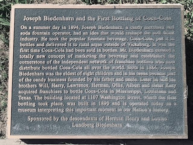
 The start of something big!

3999

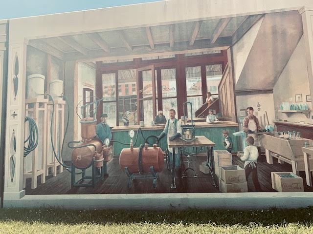
I bet he didn’t know back then that Coca Cola would be used to fertilize, tenderize and neutralize not only just to Drink!  Things go better with Coke!


2

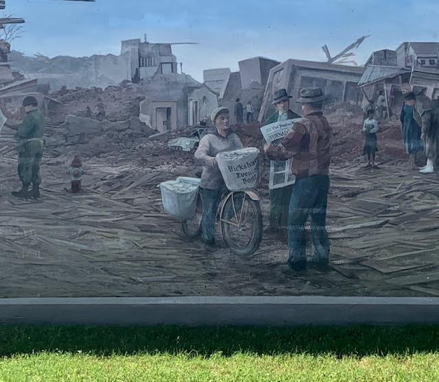
1953 Tornado: “The Highest Award for Journalism” A disaster that won a Pulitzer Prize

On a warm Saturday afternoon in the winter of 1953, a tornado etched a path of destruction from Vicksburg’s waterfront through downtown and into a northeast residential area.

The Vicksburg Sunday Post Herald received journalism’s highest award, the Pulitzer Prize, for its courage under deadline pressure. The Sunday newspaper was printed and then delivered by its carriers the morning following the tornado. Mr. Pat Cashman is pictured below at the unveiling ceremony.


4001

VICKSBURG NATIONAL MILITARY PARK:

The idea for the park can be credited to Civil War veterans of the Blue and Gray Association who, in 1895, formed the Vicksburg National Military Park Association.,   Veterans helped to mark the park.

WILLIE DIXON:   “The Blue are the Roots … the Rest are the Fruits”

4006

The River she is still a risin

When in Rome, Do as the Romans Do‘


IMG_40274026

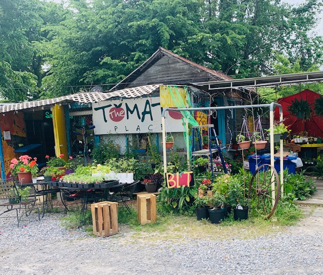
The Tomato Place

We heard so much about it we had to go and check it out.  We didn’t get any take out dinners although others were, everyone says their food is delicious.  We did sample some of their own special sauces and they were so good we bought some.  So glad we did! Ya never know what your gonna find in The Miss.

“Part old-fashioned produce stand, part cafe, and part craft gallery, this colorful, quirky place sits along US 61 just south of Vicksburg. It offers locally grown fruit and vegetables, homemade jams and preserves, all-fruit smoothies, and fresh squeezed lemonade. Diners can enjoy tasty po’ boys, BLTs, sweet potato fries, and peach cobbler.”


One of our Favorite Restaurants!

4051

IMG_4052

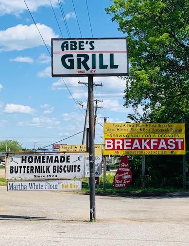
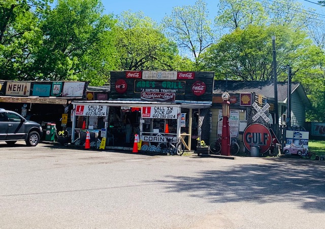
Dave and I first went to Abe’s about 14 years ago when we were in the area.  After passing Abe’s I told Dave we should go there for breakfast.  He reluctantly agreed.  He let me go in first and unwillingly followed.  To say the least we had a wonderful breakfast and went back after that.   Like all the reviews say “it’s an unexpected treat”

4049

IMG_4048

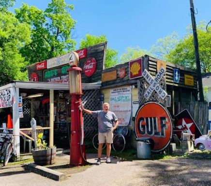
We’ve always talked about how unique a place and how delicious Abe’s food was.  We were very glad they were open for take-out this time around.   Abe’s is famous for his homemade biscuits and meat – pork, steak and ham.  I’m not a fan of meat, just don’t like the taste.  There one exception: Our friends Don & Mary’s steak dinner.  Don has a way of making a steak taste so good, it doesn’t taste like steak!  It’s the only steak I eat! Plus with Mary’s side dishes you can’t go wrong!  Dave had a pork sandwich and said I had to try it so I did! Abe’s pork sandwich was also so delicious, it melts in your mouth.  Top it off with his delicious Idaho French fires and sweet ice tea you just can’t go wrong!  In fact we went back twice !  Abe is the original owner and chef and it is always great to talk with him and his wife.  They have been in business for 47 years and still going strong!  See you next time around Abe, Lord willin’ and the creek don’t rise!

IMG_4053

Oh boy was it good!!

{     }    {      }   {    }   {    }   {    }  {     }

Between every two pines is a doorway to a new world.  `John Muir~

Besides eating …..We do go to great places to walk and enjoy our surroundings.

Bless Your Heart…. for peekin at my blog, I’ve been piddlin around like all tarnation to get it done, so darn tootin glad I it did!           Hopefully, my friend Sandy, when we see you next I won’t be talkin like this!  ONE


CHATTANOOGA TN

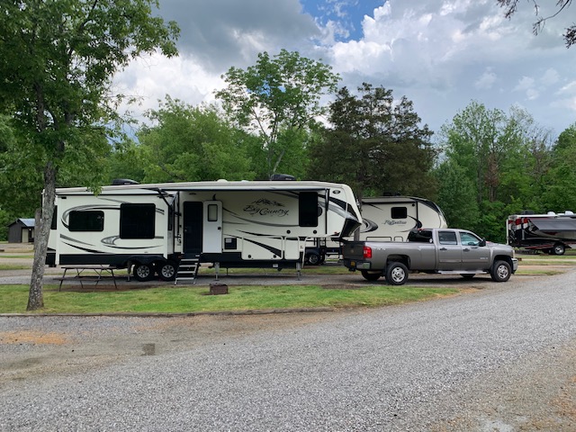
We are now in Chattanooga Tn, sort of, the park we are at( Holiday Trav park) is actually in Georgia, less than 1/4 mile from Tennessee. The park is not one of our planned stops, we were to have stayed at Canyonlands State park in Georgia, close to Chattanooga, but they canceled our reservation, with all the non sense going on. So we booked our stay here at Holiday Trav park for 9 days.

We got here Saturday, after driving 235 mile east from Corinth Mississippi. The roads here are terrible to say the least. The park has a lot of pull thru’s which is nice, it also sits on a civil war skirmish area, where some fighting took place before the battle of Chickamaga in Georgia. More to come, below are pics of our spot.

IMG_1979

IMG_1980

IMG_1981

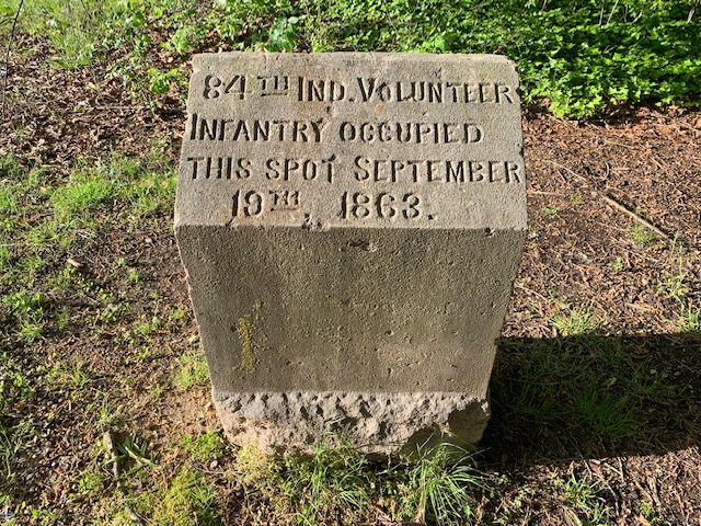
Monument on the park property, where the troops of the 84th Indiana Vols, spent time.

CORINTH UPDATE

We have been having an OK time here in Corinth. The weather had been in the low 70’s and sunny although tomorrow is going to rain. We have been here twice before, once in 2003 (We just saw some sites and left), and once in 2006, when we stayed a few days. Corinth is rated in the top 20 small cities to retire in, that is why we came down in 2006. It has changed somewhat here, seems a little more run down as in most of Mississippi, it’s a poor state.

Just like everywhere else, the visitor center, interpretive center, museums, shopping centers are all closed, and Restaurants are open for take out. There is also a lot of traffic here, not sure where people are going, plus not a lot of people wearing masks, OH well. Melissa will be making a better post of our outings here in a few days also.

Yes, Corinth has a lot of Civil War History. In early 1862 Corinth was a confederate stronghold. It has four railroad lines coming in and a number of roads. So it was a great place to move supplies further south and north. The confederates built 32 miles of earthwork fortifications around the city.

In early April 1862, when the confederates learned the union army was coming down the Tennessee river to Pittsford landing near Shiloh, they massed there troops and made a surprise attach at the union lines at Shiloh, just 30 miles to the north. They nearly took the field, but after a few days retreated back to Corinth to build up more defenses. In early May the union attached, the north fortifications at Corinth. After a few days of trying to break through, the union decided to lay siege to the city, for a month they starved the city and confederate soldiers. The city finally surrendard, the union moved in and set up there defenses in the same ones built by the confederates, months before. The union now had hold of the key railroad lines and roads of supply. The confederates however built up there forces and made a strong counter attack in Oct of 1862. The attack failed and the confederates retreated to the south. Corinth stayed in union hands toil the war ended.

Railroad_crossover_in_Corinth,_Mississippi,_United_States[1]

The railroad crossing

siege-of-corinth[1]

As the battle looked at the railroad crossing.

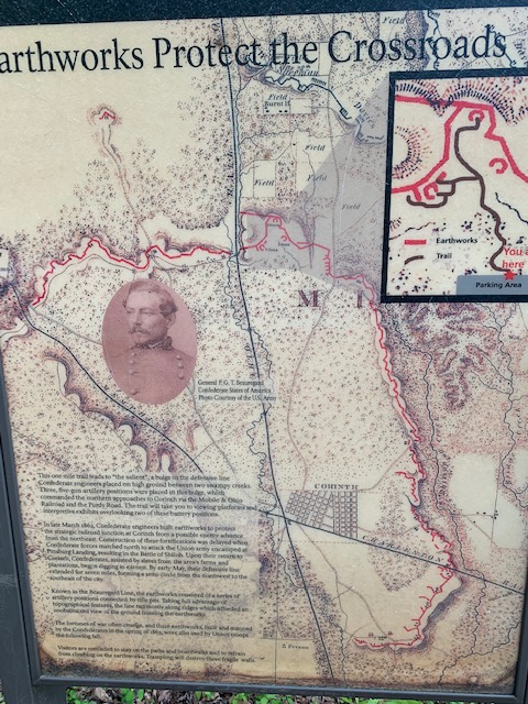
Of the 32 miles of earthwork fortifications only about 9 miles are left, most of that on private property. There is a small section that is in the national park hands. Once you park off the road, it is a mile and a half walk to the earthworks. The day we walked it was 74 and nice and sunny, a very peaceful day for a history walk.

IMG_1973

Red line is the earthworks surrounding Corinth. The part we saw you can see a close up on the upper right.

IMG_1974

This is how it looked then, no trees anywhere.

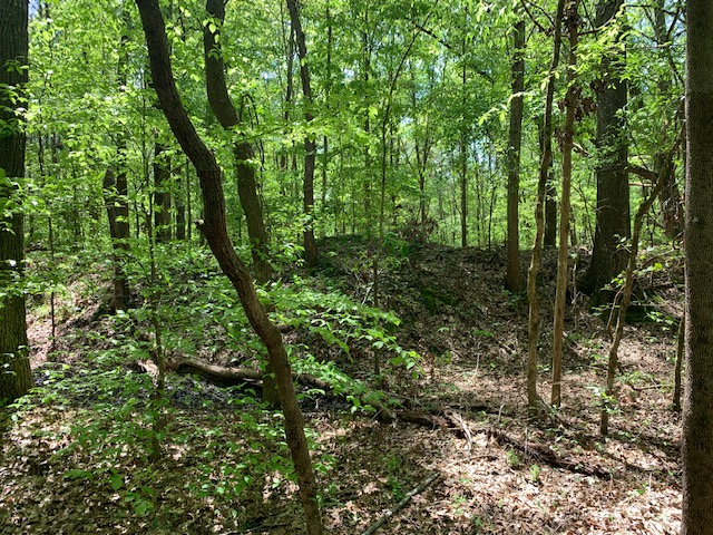
IMG_1975

As it looks now, in a forest, over the years, the earthworks which could have been 10 feet high, have now worn down to mere feet. They are however untouched and are original, which there are very few of left any more around the country.