AIR BOAT TOUR

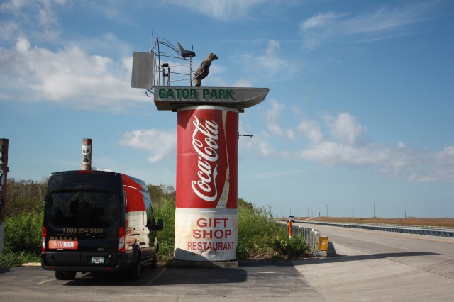
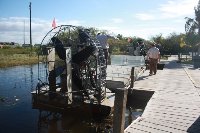
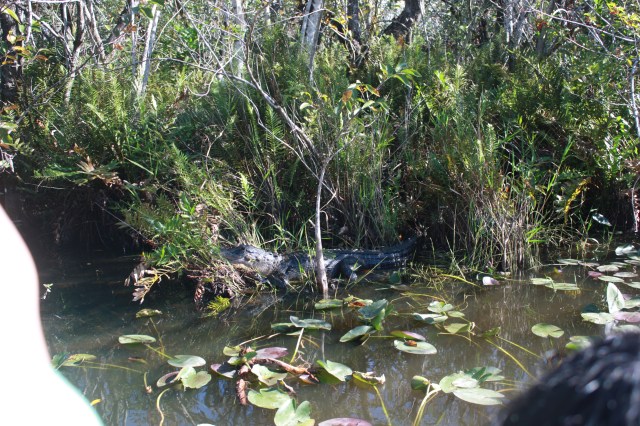
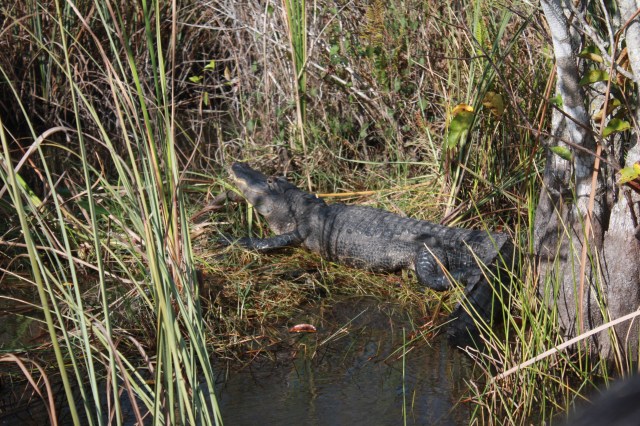
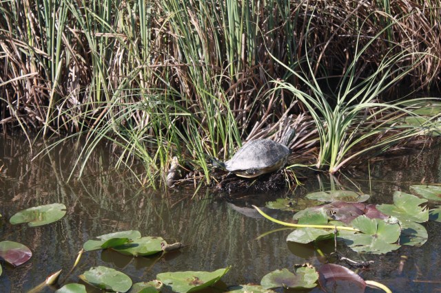
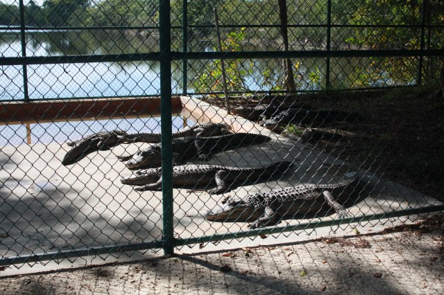
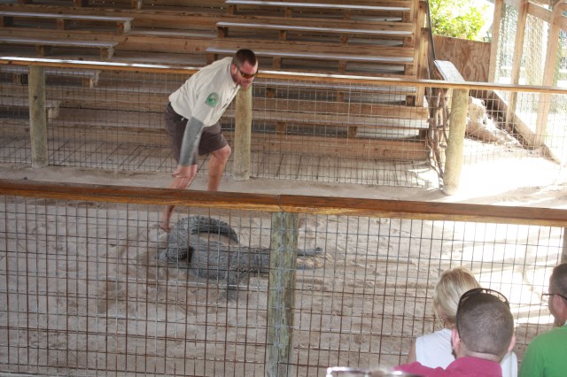
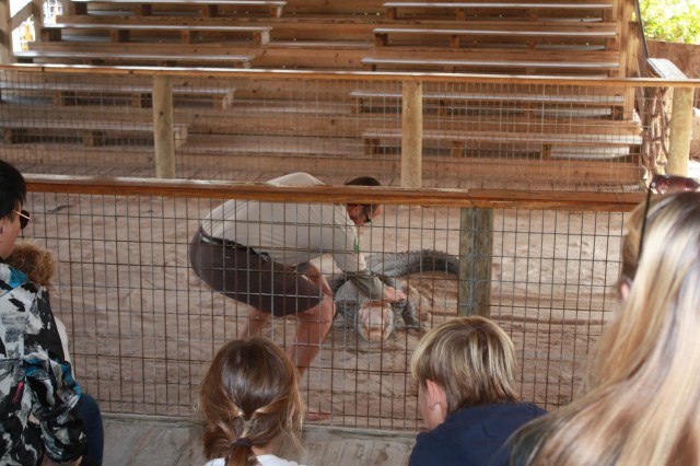
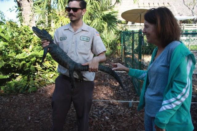
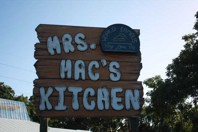
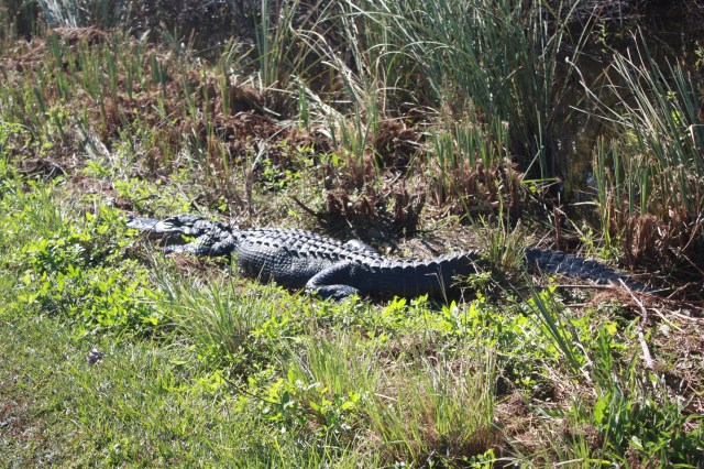
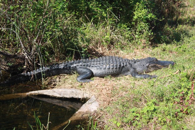
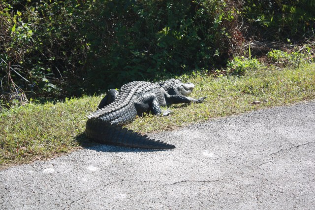
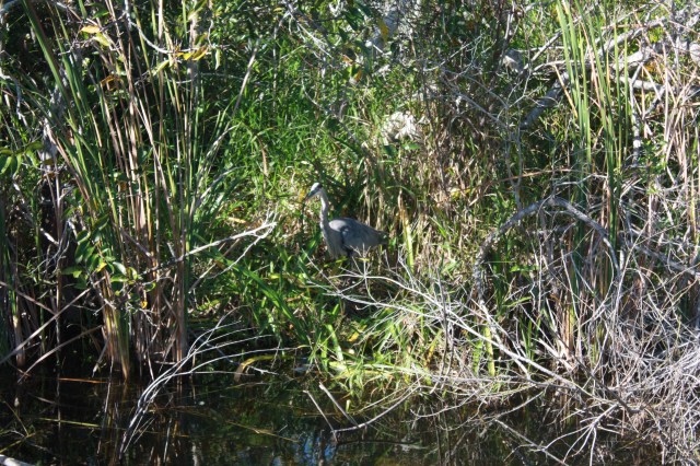
Went to Gator Park today in the Everglades. Went on a air boat tour. It lasted only about 25 minutes, but our guide explained a lot about the area and gators, and it was fun. There were 17 people on our boat, and Melissa and I were the only U. S. Citizens, (Sad). The air boat is powered by a 454 engine with 400 horsepower, and loud, had to wear earplugs. Our guide was Mike and he explained a lot of things to us. The water in the glades only gets about knee-deep and it takes one drop of water one year to travel the entire length to the Atlantic ocean. He also said you can walk in the glades as he has before and never see a gator. They are pretty much afraid of you when you are out in the open area, they think you are after them and they go and hide. Now if you provoke one or are in its nesting area that’s a different story. They do not nest in the vastness of the seagrass, they stay closer to the shallows area. The gators today were smaller than the ones we saw yesterday at the park, but still 6-7 feet long. We also saw a neat turtle and a few of the birds that are around.  As this is fresh water there are no crocodiles here. After the ride we went to the gator show where a guide told us more up close. Melissa even touched one. We then went back to Key Largo and had another early dinner. This Time at Mrs, Mac’s a local staple. Melissa wanted to try Key Lime pie, which they make. As I have had fish the last few days I just had my old standard of chicken tenders and fries. Melissa had a salad, and the pie. Pictures below show our day.

IMG_2688

IMG_2675

The boat, and Mike getting ready to seat us

IMG_2677

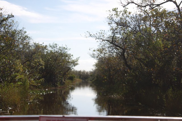
The channel out to the seagrass

IMG_2676

First gator, they have names for them but I forgot.

IMG_2679

They were all sunning themselves today which they have to do to regulate there bodies.

IMG_2680

Orange spotted turtle.

IMG_2685

3 year olds taking a swim

IMG_2684

5 footers laying around

IMG_2682

IMG_2681

The alligator show.IMG_2686

Melissa want him for dinner.

IMG_2687

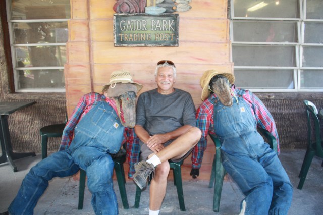
I was talking but no one was talking back ??

IMG_2689

Dinner spot.

BACK TO EVERGLADES NATIONAL PARK.

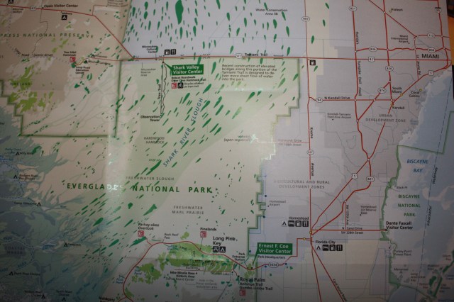
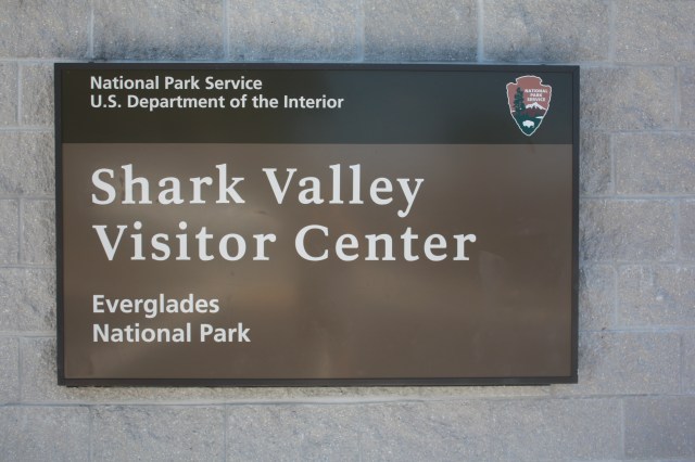
Today we went back to the park, the Northern end. As I mentioned there are few roads in the park, so you have to travel some to get to the visitor centers. Here at the northern end is where the slough is widest, about 40 miles or so. Remember that is a body of slow-moving water in a channel. It is restricted quite a bit here by the canals and roadway going east to west. We went to Shark valley visitor center.

IMG_2673

IMG_2670

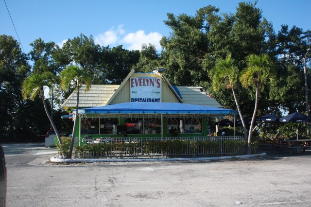
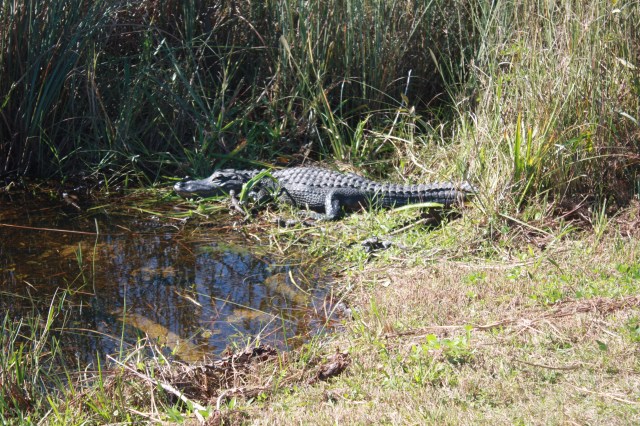
Here there is a small roadway out 7 miles into the Everglades itself. It was built by an oil company for exploring for oil back in the 1950’s. You cannot drive this road, you walk, ride a bike which you can rent here, or take the tram ride. We arrived to late for the tram ride, which was a bummer. At the end of the road there is a large observation tower, it would have been neat to see the view from there. Anyway we took a 3 mile hike down the road, 1-1/2 miles each way. Along the way there is a 20 foot wide channel or so , Which was dug out to form the road. As it was sunny we were told there will be alligators sunning themselves. Yep there was, we saw about 17 gators all toll and a few nice birds, no snakes which a few people said they saw. All of the gators were no more than 10- 15 feet away right there. There also were a good number of people on bikes. After we did that we drove back to Key Largo and had a nice early supper at Evelyn’s restaurant

IMG_2671

We each had a Mahi, Mahi (Dolphinfish, no relation to a dolphin) sandwich with fries. Mine was grilled and Melissa had her’s Blackened. It was mild and good. After that we picked up Cooper from Day care and came back home. It was a nice day all together, below are pics of the gators and other wildlife we saw. We also learned this fact the other day, you only find alligators, which have a rounded snout in fresh water, like the Everglades ,and crocodiles with a pointy snout are in salt water closer to the ocean.

IMG_2668The road we traveled.

IMG_2666

IMG_2664

IMG_2660IMG_2659This was big one, and did have me a little concerned. He was about 11 feet long

IMG_2661

IMG_2662

Alligator on the left

IMG_2665


IMG_2658

This one had babies around but could not find them.

IMG_2667

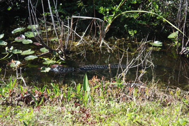
A swimmer


EVERGLADES NATIONAL PARK

Today we took a ride to the Everglades National park, about a 35 mile journey from where we are in Key Largo. We drove through Florida City to the visitor center which is in the south-east part of the park. After paying our $25.00 tariff fee(can’t wait till I am 62 1/2 so I can get the National park pass and get in for free) we drove to our first stop. As I mentioned before this is the only road down here and it is 38 miles long and ends at Flamingo, where there is a visitor center and large campground. This is where the Everglades stop and the water empties into Florida bay. The road, which had to be constructed over the glades, is one way each way and is dated. It is about 2 feet above sea level or so. In total we went to four stops and went about 25 miles on the road. Before I get to all that a little history.

IMG_2630

All the water that goes into the glades comes from Lake Okeechobee, about 150 miles to the north .Over millenia and still today, it overflows every summer, and created what we know today as the Everglades. It moves very slowly and has over time created what they call a Slough , which means a slow-moving body of water in a shallow channel. This channel about 40 or 50 miles wide  at one time would let the water flow in the summer and dry out in the winter time. Before 1880 this area was deemed pretty much useless and  uninhabitable. But that all changes after 1880, man stepped in and started to make drainage ways ,dam up and dike the areas, and provide water for the many of thousands of people who were coming down here. This altered the glades and now the slough is only about 20 miles wide. Trivia, Most of Miami used to be under water before 1900. Anyway the glades have survived, back to our visit.
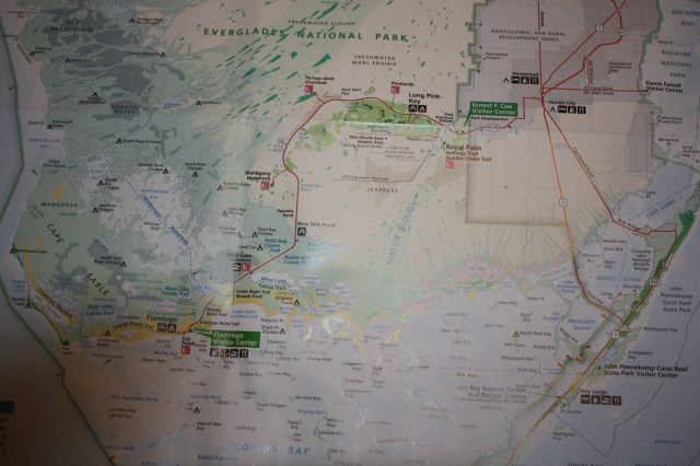
IMG_2657

Map of the road we took.

IMG_2643

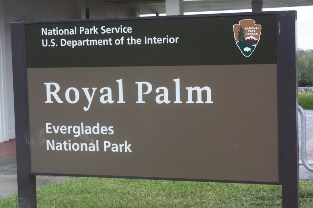
Our first stop was Royal Palm, just inside the park, in the early 1900’s it was a county park. If you remember I said Miami was created after draining the glades, So was Florida City, which is the southern most city before you go to the keys. anyway as a park this area sits on what is called a Hammock. A Hammock is a raised area made of limestone and created when the glaciers moved on. They are not to be confused with Keys. Keys are formed out of living coral over many thousands of years. I.E. ,Key Largo, Key West etc. A hammock can be large or very small, but all have the same thing in common, they have trees on them ,mostly hardwoods and pines. There roots are very shallow and these areas are mostly dry. Around a Hammock are formed motes, areas of deeper water where the mangroves and other small rooted trees are. They bring in an abundance of sea life to them and help keep the water clean. Out in the slough we have the seagrass and all the other plants that like water
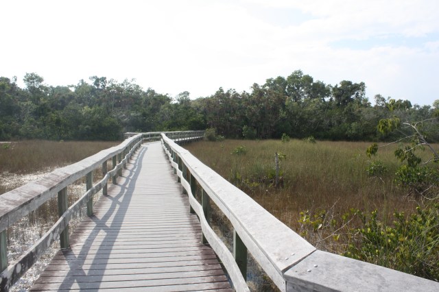
IMG_2648

A walkway out to a Hammock

IMG_2644

The interior of a hammock

IMG_2656

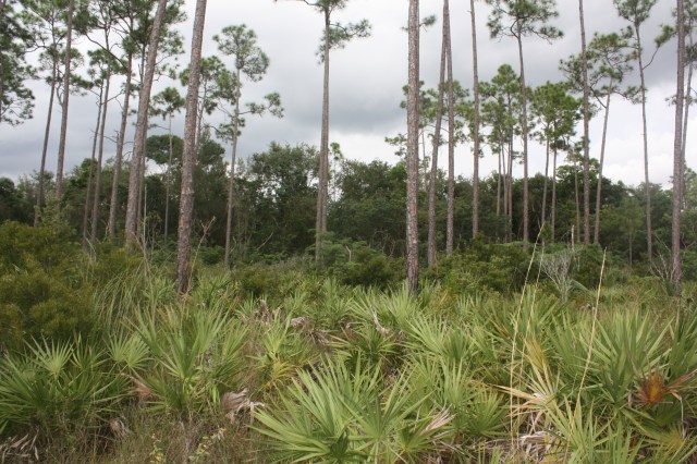
This area is full of slash pine trees. Notice the area has been burned to get ride of all the lower vegetation, they do this all over the park so large fires don’t start.
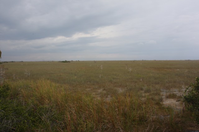
IMG_2650

The expanse of the slough area now mostly dry as it is winter here.
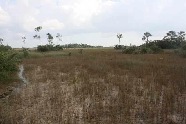
IMG_2646

Small Hammocks

IMG_2651

These are bald cypress, they look dead, but are dormant in the winter months here.

IMG_2640

Back to Royal palm, which is a large Hammock. It used to be a park. At the time it was full of old growth palm trees, but in 1917 a large fire consumed most of the trees. The people of Florida city along with other important men, started campaigning to the federal government that this area along with a large portion of the Everglades should be protected and In 1947 it was. Royal palm is a very good place to see the slough in action ,as the water moves south toward Florida bay. Trivia, in 1960 they put a Niki base close to hear, which had a number of missiles aimed at Cuba. Shortly afetr it was operational they had a 10 day rain and it flooded the bays underground where the missles were. It was then shut down. Also it put Florida city on the may with all the workers, before that it was a hick town.

We took two walks here one out into the slough and one on the Hammock.IMG_2638
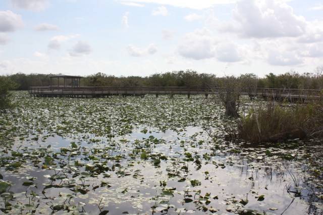
Some of the walkway on the Slough

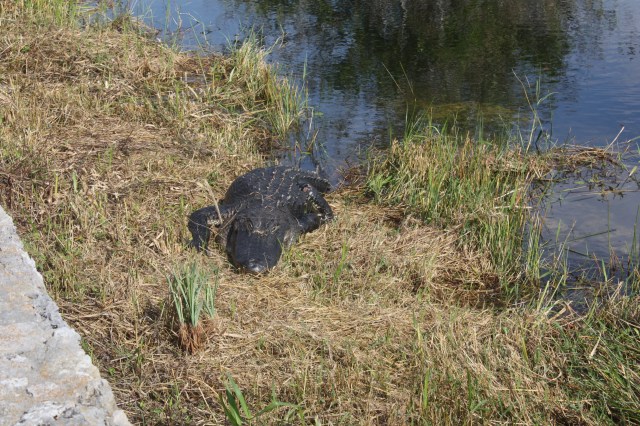
IMG_2631An alligator?? I thought he was fake, Nope real about 10 feet long.

IMG_2635Another one sunning himself by the walkway, about 10 feet long

IMG_2636This one in the slough itself.

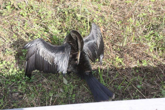
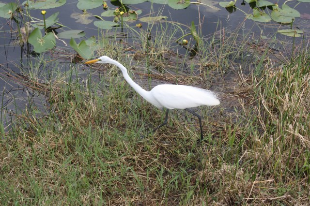
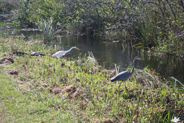
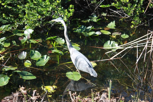
IMG_2634A big bird, don’t know what it was.IMG_2639A White Abis, these are all over the park.
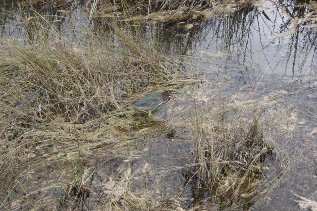
IMG_2654Not sure??

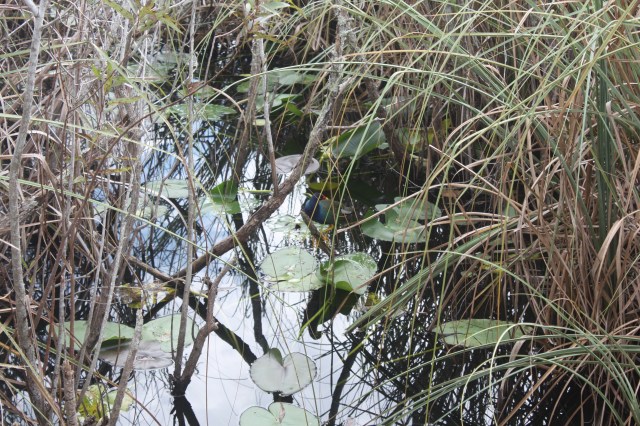
IMG_2637Purple gallinue

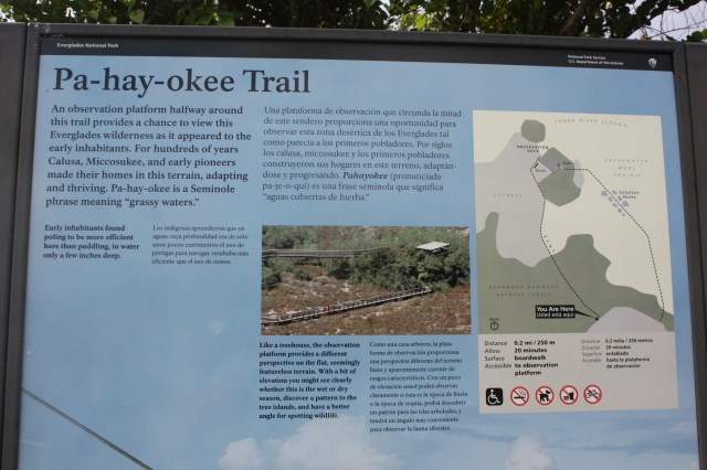
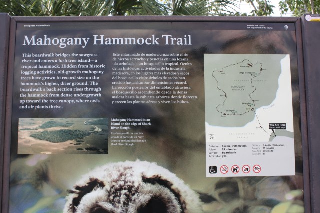
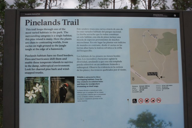
We also took 3 other trails in the park, which all had different types of ecosystems to see.
IMG_2655

IMG_2649IMG_2645

KEY LARGO

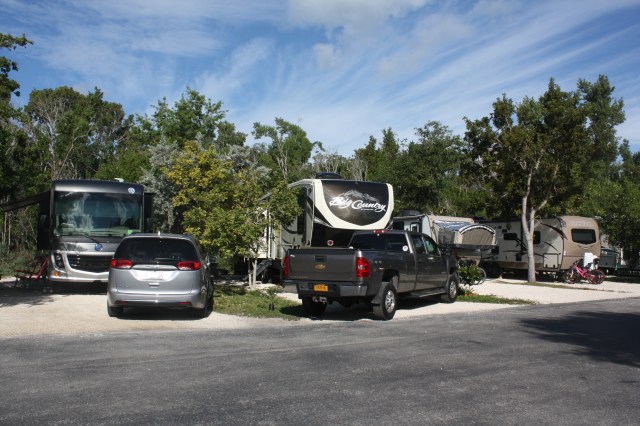
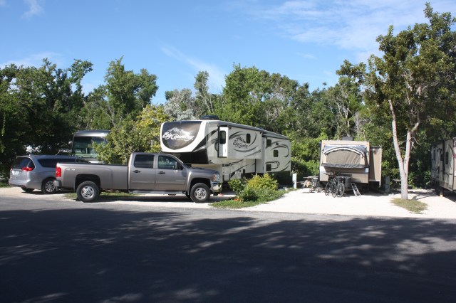
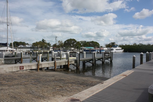
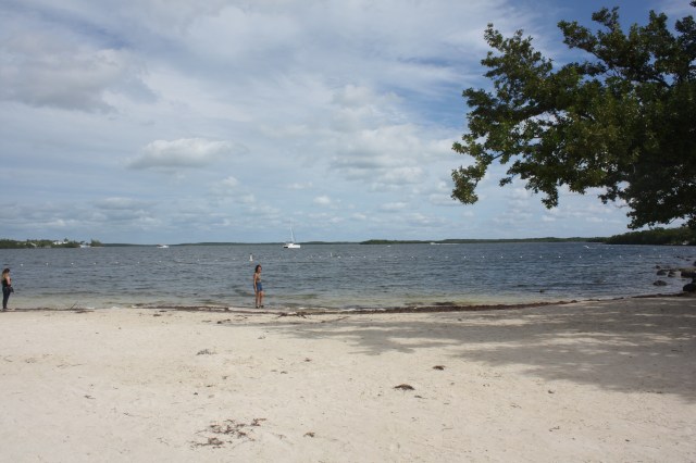
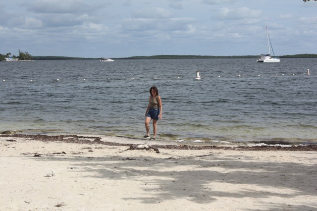
We are now in Key Largo which is in the upper keys, staying for two weeks at John Pennakamp State park right on the water. We left Koreshan state park yesterday around 11:00 and got here about 3:30 or so . 187 miles, seems every time I drive pretty far I get pretty tired for a day or so. Guess I am getting old. This is a big State park most of it is in water as a preserve for coral reefs. They have two beaches here not very big, a boat launch and a marina where you can get tours on the glass bottom boat, or go scuba diving or snorkeling out at the reefs. You can also rent canoes and kayaks and go out to the mango groves on the sea trails they have. Will be in the 80’s for at least the next week here. Below is some pictures of our site, which is a tight one and the beaches.

IMG_2625

IMG_2624

IMG_2626

The Marina area.

IMG_2629

One of the beaches, which are all coral here, not sandy like we are used to.

IMG_2628

Melissa, saying it’s cold.

IMG_2627

OH, No the creature from the black lagoon emerging, Oh no it’s lovely Melissa

CANOEING THE ESTERO RIVER

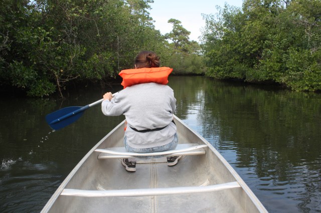
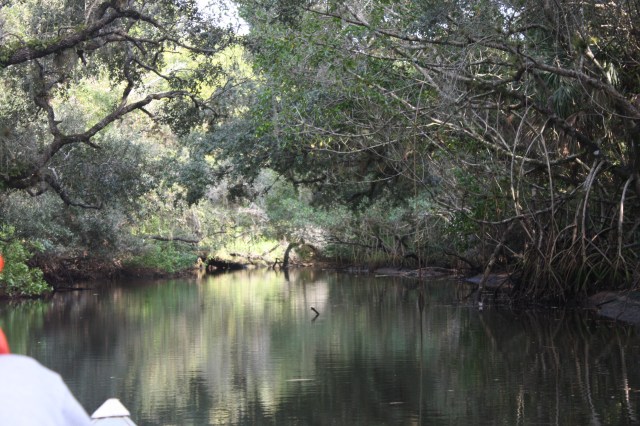
Yesterday we rented a canoe here at the park, and canoed part of the Estero River. We canoed about 2 hours or so. The Estero river is about 10 miles long and runs east to west dumping into the Gulf of Mexico. There it is about 1/4 of a mile wide, up here at the park it is only about 100 feet or so wide. The water here is fresh and salt, what they call brackish. There is one thing that thrives here that does not like brackish water. Yep, alligators. That was a relief as we canoed along. It was fun, i think next time we would go by kayak, smaller and more agile, if we don.t tip over first.

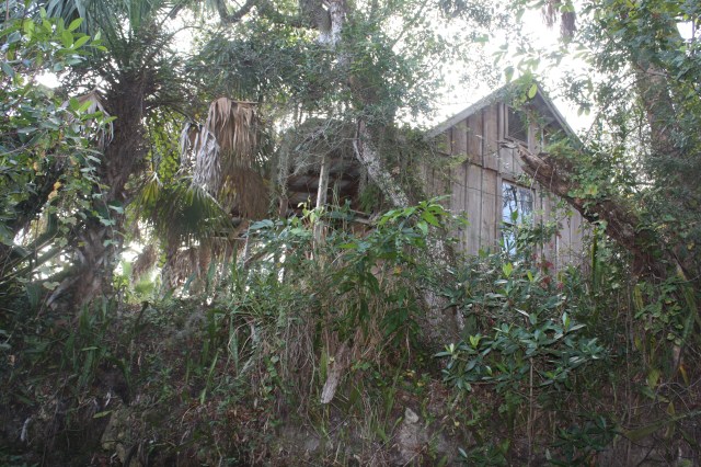
The park is at about mile 7 of the river, it was the original homestead of Gustav Damkohler. He was tired of the Fort Myer’s area getting more and more populated. so he came up the river and at about mile 7 he hacked out a piece of land on the south side and built a small cabin and starting homesteading. This was around 1880. In 1882 he came here with his family and got a homestead grant for about 200 acres from the state of Florida. At this time the river was the only means of transportation as there were no roads, it  was a complete wilderness here. Really more of an everglade with swamps, along with tons of flys and mosquitoes alligators and snakes. Try doing that today, right. By 1894 he had acquires to his land holdings a total of about 400 acres. Then he read an article in some paper about a Dr. Cyrus Teed, from Chicago looking for land to form a new Koreshan unity of religian,  his “New Jerusalem” so to speak. Damkohler invited Dr Teed down to Florida for a visit. The visit lasted six weeks with Dr. Teed and three of his followers with him cramed in a small one room cabin. Shortly after Damkohler turned over most of his land to Dr. Teed and the Koreshan unity. A decision he would later regret, as he moved out in the early 1900’s and eventualy ended up in Alaska where he died. The Koreshan unity of new religion however did not die and thrived until the 1950’s then declining until the last Koreshan member passed away in 1982. more on the Koreshan Unity settlement in Estero later. Below a few pictures from our canoe outingIMG_2620The original Damkohler house still satnding
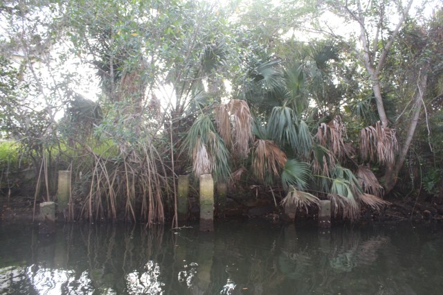
IMG_2621The original piers for the dock leading up to the grand entrance to the Koreshan Settlement
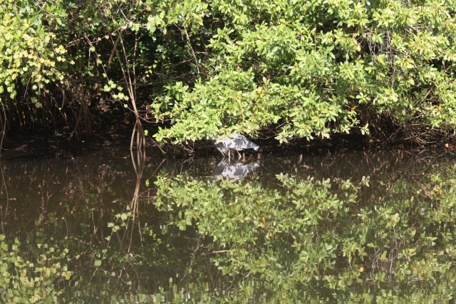
IMG_2618A Crane being very still

IMG_2617Melissa paddling her heart out.IMG_2619Some of the river ahead.

BEACH DAY

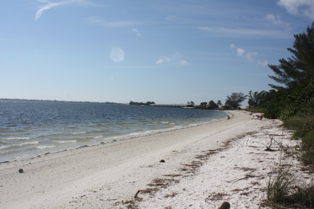
Yesterday was beach day or should I say walking the beach doing shelling. Looking for sea shells of course. It turned out to be a mostly sunny 82 degree day, and we had a lot of fun. We first dropped Cooper off at dogy day care, then we went to Mel’s for breakfast and to map out our shelling day. Not much to it really just go to the beach and find shells. Well not so simple this is an art I am told. You need to get up pretty early to get all the good ones, because that is when the tide goes out, then they are pretty much just lying there. I am not talking about your one or two-inch sea shells, were talking about the four-inch and bigger ones. There are a lot of people who do this as a hobby. you can buy nets to scoop them up and shovels if you wish. Anyway we decided to go to Sanibel Island where some of the best shelling is.  As yesterday was Monday we did not think there would be much of any crowds. In order to get to Sanibel you have to cross the causeway, which of course you have to pay for. $6.00 to cross, we then stopped at one of the causeway beaches. Not many people, we spent about an hour there and found some pretty Ok shells. We ran into a guy at the beach sitting in his chair fishing for sharks.???? Yep sharks says he catches up to five ,six footers, then lets them go. Not for me. Anyway he said you have to go to the northern end of the island for good shelling. After we left there we drove on Sanibel island ( Tourist trap for sure) and made our way to Bowman’s beach at the northern end of the island. This is a public beach park own by the City, but has become very popular of late.  When we got there, there were a fair amount of cars, and of course you have to pay for parking. $10.00 bucks first hour $5.00 every hour. After we paid our dues, we made our way to the beach which is a ten minute walk.  The beach is pretty big more than a mile of so long. We made our way to the water’s edge and starting looking for shells. There were also a fair amount of other people searching to. As I mentioned it was a pretty hot day and nice to get your feet wet in the water, which I thought was pretty warm. All in all we spent 4 hours going up and down the beach finding shells. It’ pretty hard work we were tired when we left. POictures are below of our outing.

IMG_2612The bridge to the casuseway

IMG_2613More of the beach at the causeway

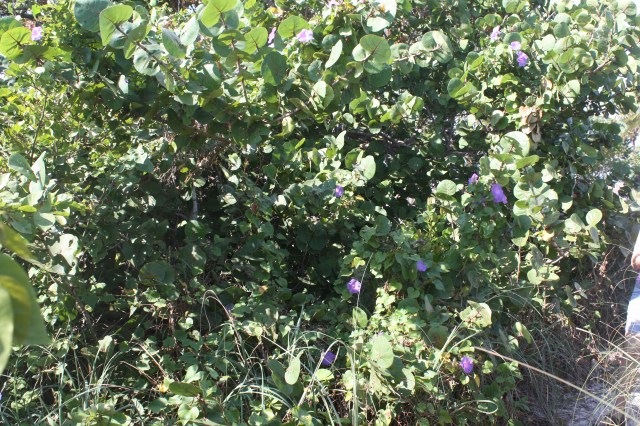
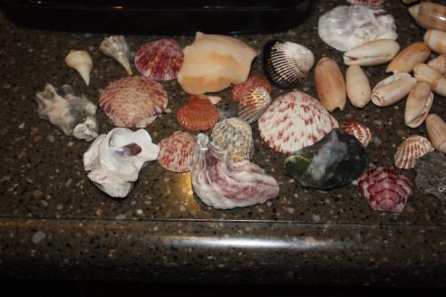
IMG_2614Prett blue flowers on a bush we saw.IMG_2615Some of the shells we found

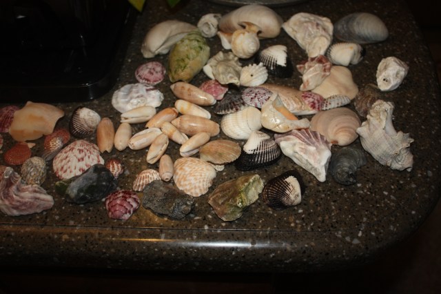
IMG_2616More shells

DOG BEACH

Yesterday we went to Dog Beach. Before I get to that, in the morning I had to go to Camping World about 20 miles away. In our travels so far we have not had a need for one, because we have had a sewer hook up most of the time. I have been putting it off, but it was time to get a crapper tote. When I got to Camping World, they had 3 sizes to choose from I had thought I would get the big 37 gallon one, but after looking at the size of it, it was out of the question, it was too big. So I decided to get the 27 gallon model. Now these have come a long way. It comes with a sewer hose already connected along with an 90 degree elbow for ease. It also has a fill sensor so it lets you know when it is full. But the nicest part of it is it has a nice long handle and 4 wheels, very easy to get around. It was not that cheap, so I had to bite the bullet. Here at Koreshan and a few other parks we will be at we will have no sewer so I needed to get one.


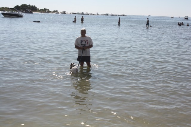
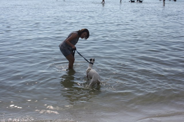
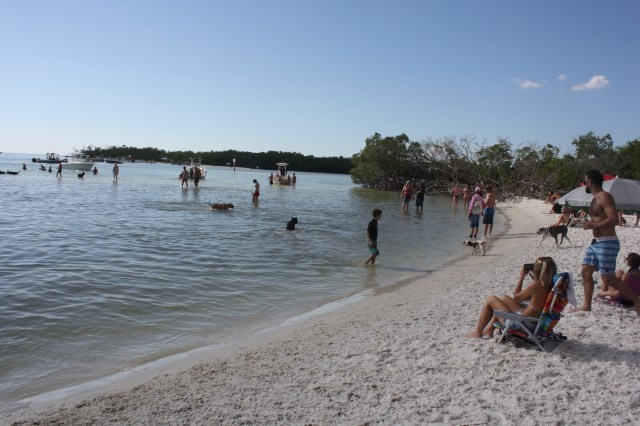
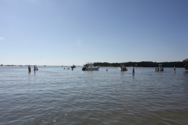
Back to Dog Beach. After lunch we decide to go there. This is a beach for dogs hence the name. It is one of the first beaches you get to when you get to Fort Myers beach area on the gulf. When we got ,were a lot of cars. Friday after Thanksgiving. The beach is a little bit of a walk through a wide flooded area (because of the tide). The water here varied in-depth from a few inches to over a foot deep. Then you come to the path that is between trees to get to the actual beach area. The area here is about 200 yards wide for the dogs. The water here is up to a couple of feet deep about 200 yards out also. When we let Cooper loose(as this is an off leash park) away he went, terrorizing all the smaller dogs. Boy did he have a lot of energy to get out. We also went in the water and got Cooper to get in for a while. There were all sizes of dogs here, running and crashing into people, including Cooper. We were there for about 2 hours. We had a lot of fun and Cooper did too, but he is pretty agressive with little dogs so we had to watch him a little closer.

IMG_2596

IMG_2593

IMG_2592

IMG_2597

HAPPY THANKSGIVING

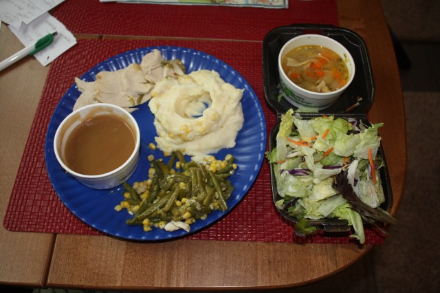
Today we celebrated our first major holiday on the road, and away from family and friends. It was cloudy today but warm about 80. Didn’t really feel like Thanksgiving. After having breakfast we decide that we would take Cooper to the dog park, and then have an early dinner at Mel’s diner. My brother Jeff mentioned we should go there and after checking it out noticed they were having thanksgiving dinners from 11 to 8 pm. About 1 we went to the dog park and had Cooper run around some spent about a half hour there. He had a riot as there were other dogs there he could play and run with. After that we went to Mel’s and Oh boy were they packed. So we decided to order two dinners to go. For $14.00 you got a salad, chicken noodle soup,Turkey ,stuffing,mashed potatoes and gravy, cranberries plus beans and corn. I’m not a fan of stuffing so Melissa took that and I got her mashed potatoes. Man, oh man was it good, we were stuffed.

IMG_2591

This Thanksgiving is a little more special this year, as Melissa and her sister Jennifer are now 11th generation descendants coming from the Mayflower. After doing extensive research the last few years, and making application to the Mayflower society, they both have been accepted and confirmed decendants from pilgrims. this is coming from their fathers (Smith side). Their 11th grandfather Edward Fuller made the trek over on the Mayflower with his wife and kid. his wife dying the first cold harsh winter. So there you have it pilgrim.

KORESHAN STATE PARK

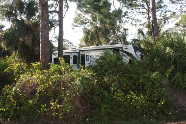
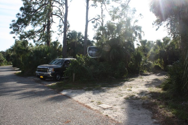
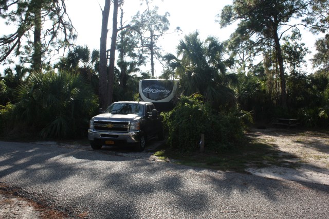
This morning we got packed up and headed out to Koreshan State park in Estero Florida. One thing Alafria didn’t have was sewer, so we had to go to the dump station, my first time at one. No big deal just like when hooking up to a sewered site. Was there for about 20 minutes and left about 11 am. It was a nice sunny 80 degree day today. It was a 140 mile journey to Korestan, which is about 10 miles south of Fort Myers on the gulf side. We ar right by the Estero River and 10 minutes to the beaches. Got here about 2:30 and drove to our site, number 5. It was a tough back in today, not a wide entrance, with a big tree on my blind side. After about 10 minutes of jockeying, i was in. We then got settled in and took a walk around the park. Very treed and lots of bushs. We will be here for 10 days. A few pictures of our spot below.

IMG_2588

IMG_2590

IMG_2589

HIKING DAY

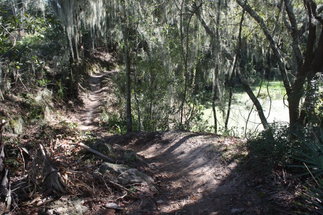
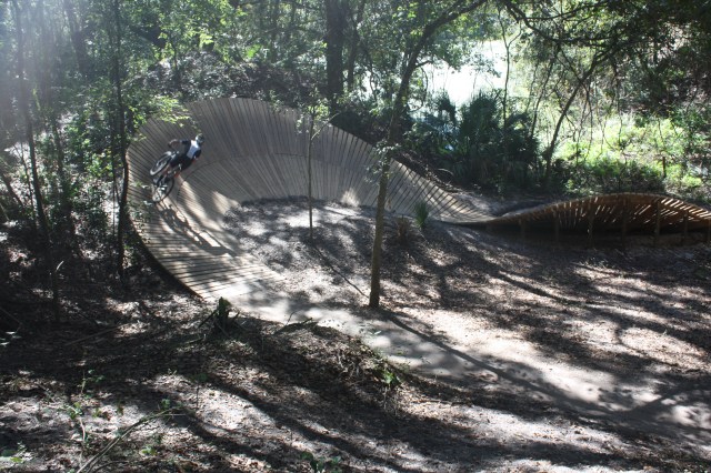
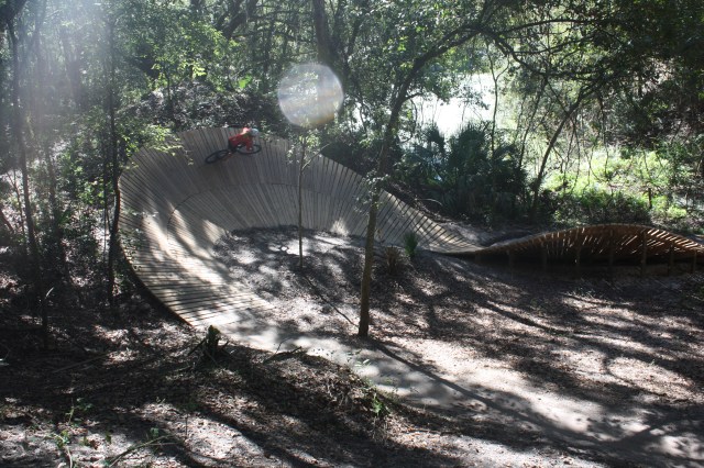
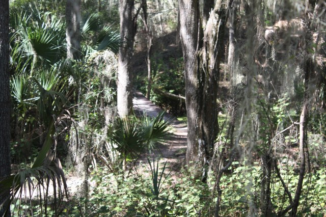
Today we did some hiking. We went to the other side of the park where they have the trails. The place had about 100 vehicles parked there. This is not only a hiking area it is also a mountain biking and horse trail area. Mainly mountain biking ,from what we have heard it is one of the best places to mountain bike in the country. The main loop about 2 miles long is for hikers ,bikers and horses. Then the trails brake off from there for mainly mountain biking. It goes from easiest, easy, moderate, hard, hardest. You just take the one you want. Hikers cannot go on the designated bike trails. All together we hiked about 5 miles. We did see some other people with dogs, but you do have to be on guard, bikes come up fast. I was a little surprised also to see the number of OLDER people mountain Biking, I mean my age. Good for them. On the trail I had it in the back of my head, but didn’t see any Gators or snakes, thank goodness. Took some pictures which are below, with a little description of each.

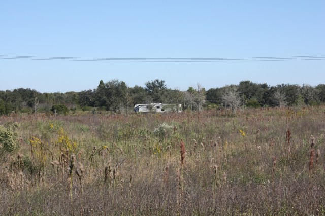
IMG_2587

Our home out in the distance.

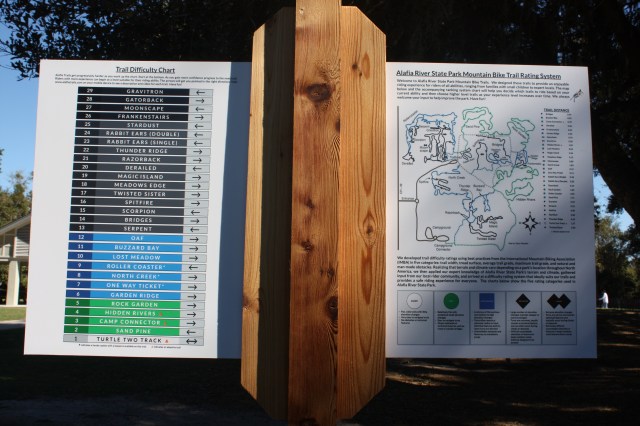
IMG_2584

The main map you need to follow for the trails.

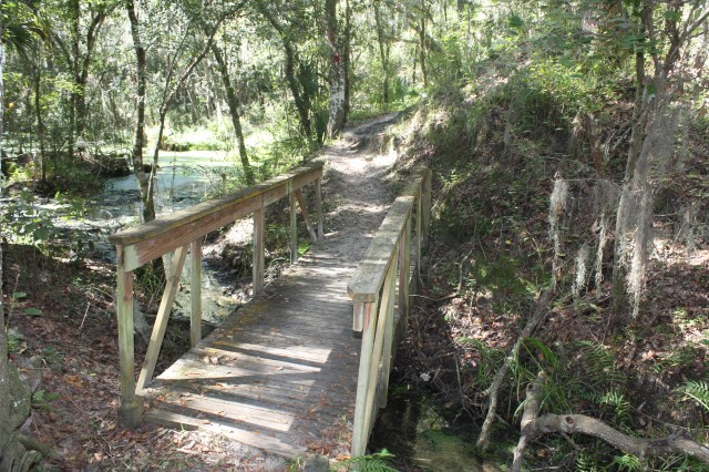
IMG_2583

A bridge on our hiking trail.

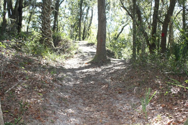
IMG_2582

Another part of the hiking trail.

IMG_2575

One of the bike trails off the loop.

IMG_2580

One of the bike ramps we saw. Pretty neat we saw a number of people do this. Not for a beginner.

IMG_2581

IMG_2576

A bridge on the bike trail, no railings.